 Block
Tombstone, Arizona
21 topographic sheets cover this place, the earliest surveyed in 1915 and the latest in 1996. It stands in the Sierra Vista census division. It lies in ZIP code area 85638. It lies near Comstock Hill. The Survey maps it on the Tombstone quadrangle. 1,308 people lived here at the 2020 count. It stands 4,541 feet above sea level.
On record in Tombstone
Buildings and businesses the archive holds for this place. Each opens its own page, with the source record it came from.
On the National Register 5 records
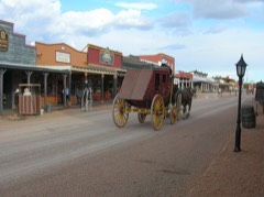 Tombstone Historic DistrictNational Historic Landmark · listed 1966
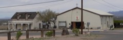 Sacred Heart Churchlisted 2002
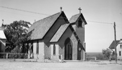 St. Paul's Episcopal Churchlisted 1971
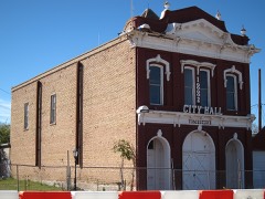 Tombstone City Halllisted 1972
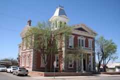 Tombstone Courthouselisted 1972
Surveyed buildings and structures 12 of 20 shown
- Allen Street (Commercial Building), Tombstonefederal building survey, 1 photograph
- Allen Street (Commercial Building), Tombstonefederal building survey, 1 photograph
- Bird Cage Theatre, Allen Street, near Sixth Street, Tombstonefederal building survey, 4 photographs
- Can Can Saloon, Fourth & Allen Streets, Tombstonefederal building survey, 1 photograph
- City Hall, Fremont Street, Tombstonefederal building survey, 1 photograph
- Cochise County Courthouse, Toughnut & Third Streets, Tombstonefederal building survey, 5 photographs
- Crystal Palace Saloon, Allen & 5th Streets, Tombstonefederal building survey, 4 photographs
- Episcopal Church, Third & Safford Streets, Tombstonefederal building survey, 1 photograph
- Fifth Street (Commercial Building), Tombstonefederal building survey, 1 photograph
- Fire Station, Toughnut Street, Tombstonefederal building survey, 1 photograph
- Fremont Street (Commercial Buildings, Ruins), Tombstonefederal building survey, 1 photograph
- Nellie Cashman House, Toughnut & Sixth Streets, Tombstonefederal building survey, 1 photograph
Population over time
2 figuresTombstone fell from 1,380 to 1,308 between 2010 and 2020. These are the recorded population figures Wikidata holds for this place, reached through the Geographic Names Information System number this page is keyed on rather than by name, so they belong to this place and not to another of the same name. Most are census counts, but not all are: an early figure may be a founding or settlement estimate, and an estimate published within five years of a census is left out. The change column is computed, and is left blank where more than 20 years separate a figure from the one before it, because a gap that long is not a change between two counts.
| Year | People | Change |
|---|---|---|
| 2010 | 1,380 | |
| 2020 | 1,308 | -72 (-5%) |
Topographic sheets covering this place
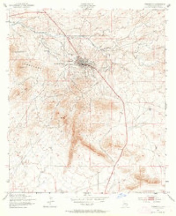
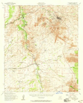
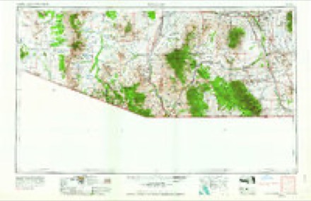
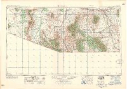
10 surveys from 21 printed sheetsMatched by testing this settlement's coordinate against the published boundary of every sheet in the United States Geological Survey's historical collection. Each opens the scanned sheet at the Survey.
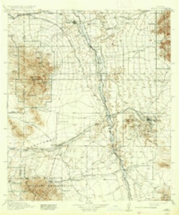
- 1915 USGS Benson quadrangle1:125000, 4 printings
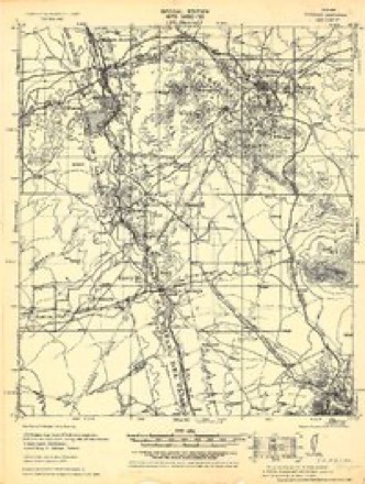
- 1932 USGS Fairbank quadrangle1:62500
- 1943 USGS Benson quadrangle1:125000
- 1952 USGS Tombstone quadrangle1:24000, 3 printings
- 1952 USGS Tombstone quadrangle1:62500, 2 printings
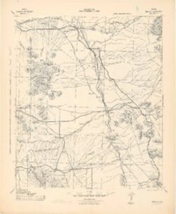
- 1956 USGS Nogales quadrangle1:250000, 4 printings
- 1958 USGS Nogales quadrangle1:250000
- 1959 USGS Nogales quadrangle1:250000
- 1994 USGS Fort Huachuca quadrangle1:100000, 3 printings
- 1996 USGS Tombstone quadrangle1:24000
Photographs
8 of 13 photographs shown, 1937 to 1940Taken for the Office of War Information and the Farm Security Administration, who photographed the country between 1935 and 1944. Works of United States government photographers, with no known restriction on use. Each opens its catalogue record.
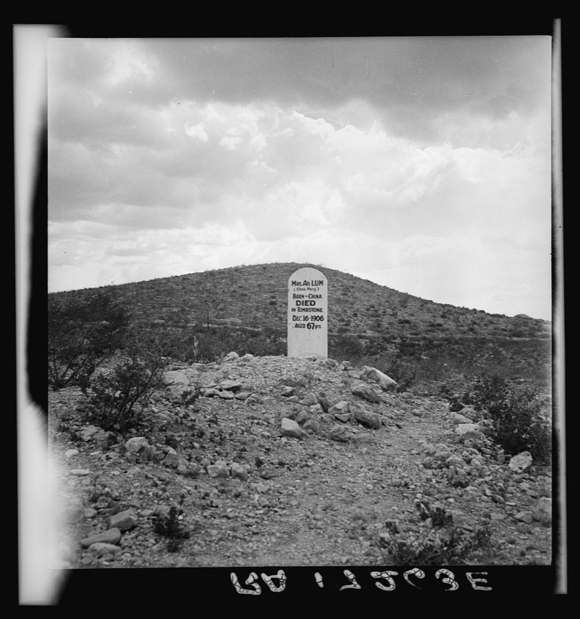
Lange, Dorothea, photographer, 1937. Library of Congress
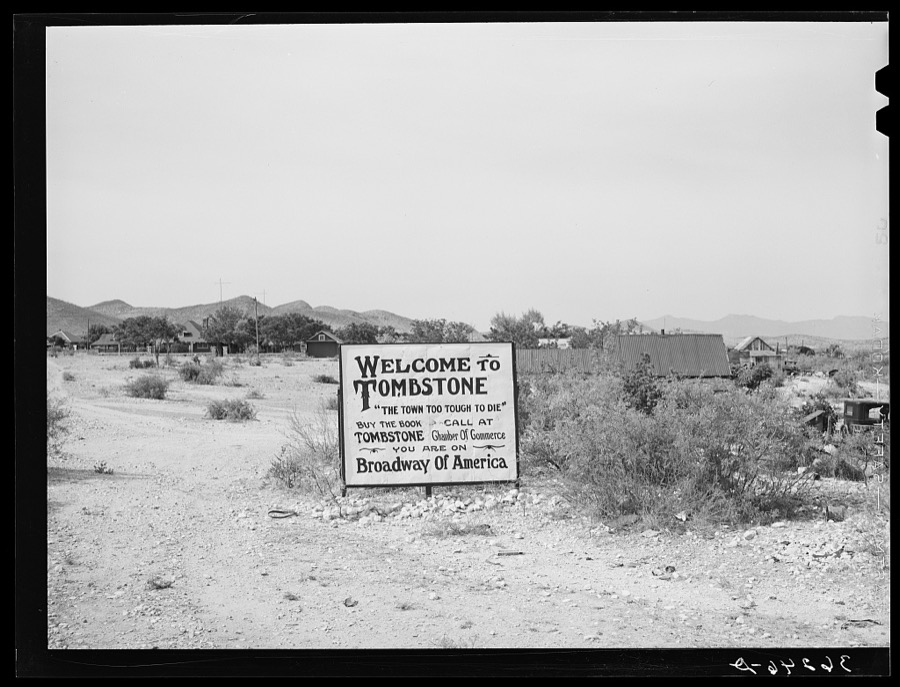
Lee, Russell, 1940. Library of Congress
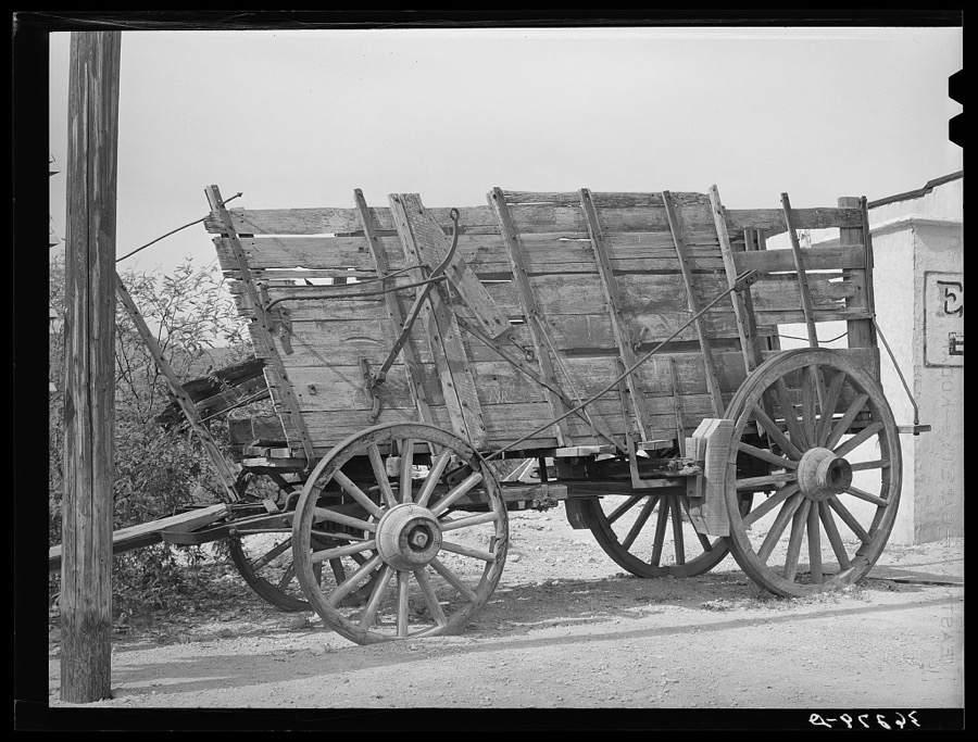
Lee, Russell, 1940. Library of Congress
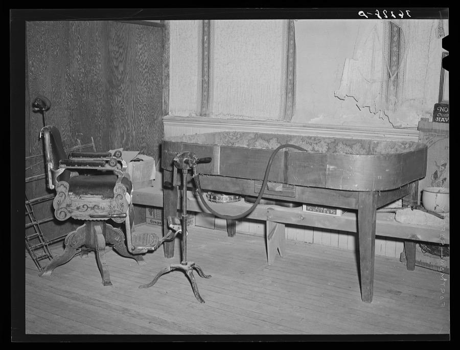
Lee, Russell, 1940. Library of Congress
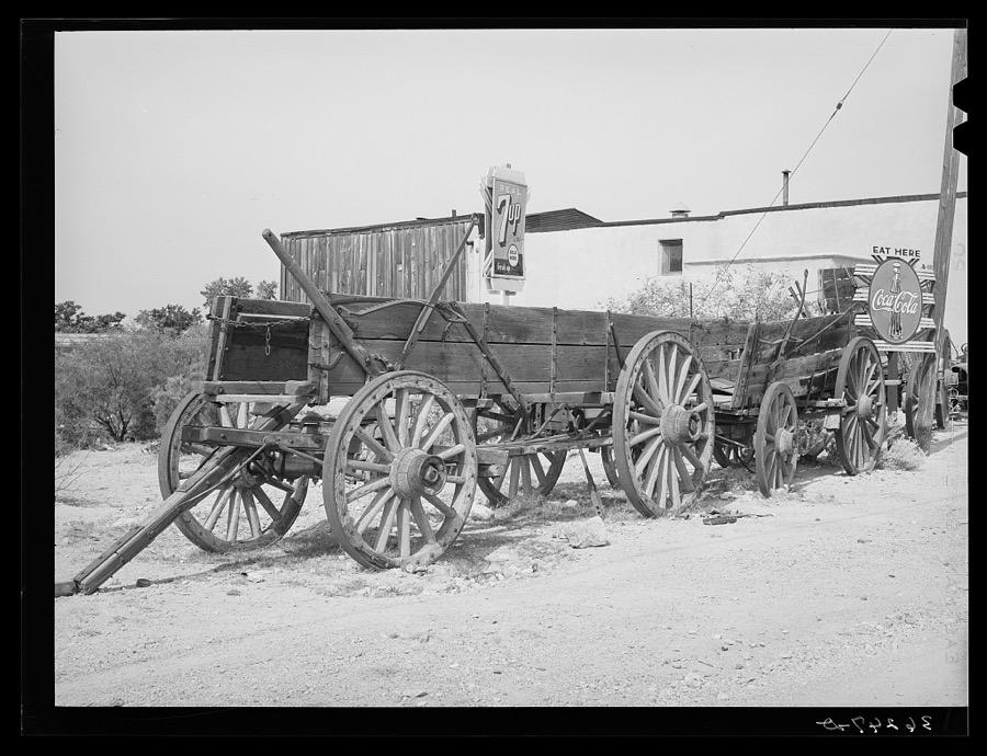
Lee, Russell, 1940. Library of Congress
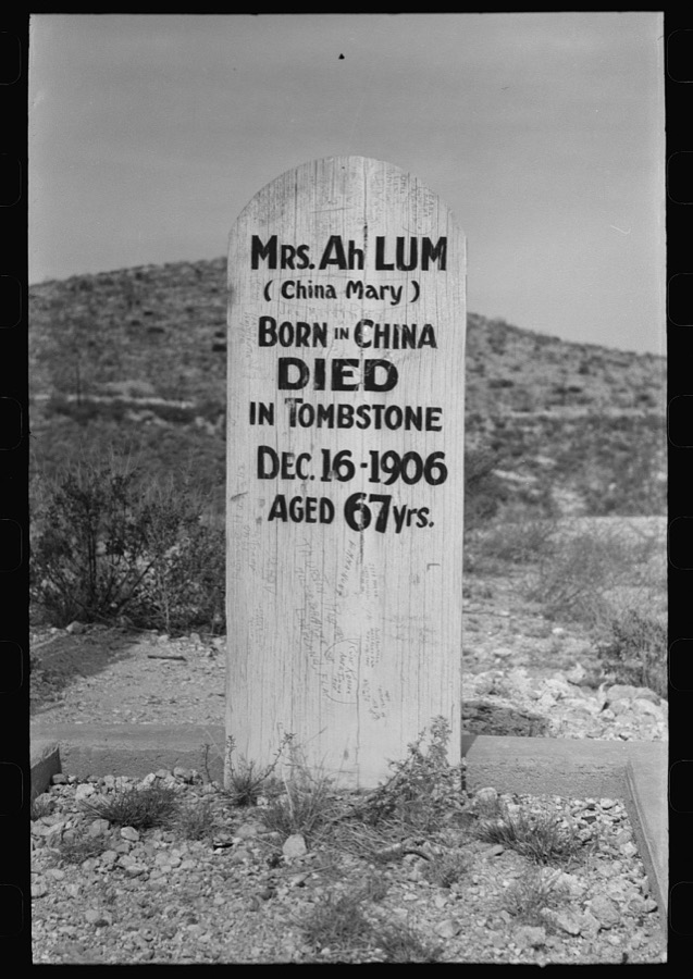
Lee, Russell, 1940. Library of Congress
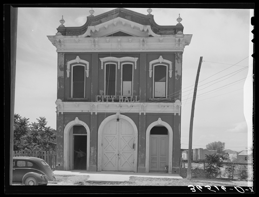
Lee, Russell, 1940. Library of Congress
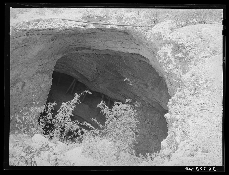
Lee, Russell, 1940. Library of Congress
Every photograph of Cochise County
Fires near this place
62 since 1992Regional context, not property-specific evidence. The federal wildfire occurrence database lists 62 fires within 5 miles of Tombstone between 1992 and 2020, burning about 491 acres in total. 7 started naturally. 1 was recorded as arson. Distance is straight-line from the map coordinates, so a fire counted here may appear on a neighbouring settlement's page as well.
| Reported cause | Fires |
|---|---|
| Missing data/not specified/undetermined | 41 |
| Natural | 7 |
| Debris and open burning | 5 |
| Equipment and vehicle use | 5 |
| Recreation and ceremony | 2 |
| Arson/incendiarism | 1 |
| Smoking | 1 |
The most recent of them, most recent first, with the day each was reported and the service that recorded it.
| Date | Cause | Size | Reported by | Name on the report |
|---|---|---|---|---|
| 29 September 2009 | Missing data/not specified/undetermined | under an acre | Arizona Department of Forestry and Fire Management - State Office | TOMBSTONE |
| 22 September 2008 | Missing data/not specified/undetermined | under an acre | Arizona Department of Forestry and Fire Management - State Office | TOMBSTONE |
| 18 September 2020 | Missing data/not specified/undetermined | under an acre | Arizona Department of Forestry and Fire Management - Southeast District | CHAPULIN |
| 11 September 2020 | Equipment and vehicle use | under an acre | Arizona Department of Forestry and Fire Management - Southeast District | CABALLO |
| 5 August 2001 | Natural | under an acre | Arizona Department of Forestry and Fire Management - State Office | JEFFERSON |
| 26 August 2007 | Missing data/not specified/undetermined | under an acre | Arizona Department of Forestry and Fire Management - State Office | TIES |
| 25 August 2019 | Missing data/not specified/undetermined | 1.0 acres | Elfrida Fire District | NOT NAMED |
| 5 July 2019 | Missing data/not specified/undetermined | 402 acres | Elfrida Fire District | NOT NAMED |
Mines and quarries near this place
10 of 128 shownRegional context, not property-specific evidence. The federal mineral resources record lists 128 workings within 5 miles of Tombstone: 107 past producers, 9 producers, 5 occurrences, 3 prospects. 11 still produce. What was taken out: Lead, Silver, Silver, Manganese, Silver, Gold. Distance is straight-line from the map coordinates, so a quarry counted here may appear on a neighbouring settlement's page as well.
| Where | Site | Commodity | Status | Recorded |
|---|---|---|---|---|
| Argenta Mine | Copper, Lead, Silver, Gold | Past Producer | 1922, 1924 | |
| Bonanza Mine Group | Gold, Copper, Silver, Lead | Past Producer | 1919, 1950 | |
| Bunker Hill Mine | Silver, Lead, Manganese, Zinc, Copper | Past Producer | 1889, 1931 | |
| Bunker Hill Mine | Lead, Manganese, Silver, Zinc, Copper | Past Producer | ||
| Comet and Black Eagle Mines | Manganese, Lead, Silver | Past Producer | Replacement | |
| Contact Mine | Manganese, Silver, Copper | Past Producer | Replacement | |
| Contention-Grand Central Mine Group | Gold, Lead, Silver, Copper, Zinc | Plant | ||
| Cuss Mine | Barium-Barite, Manganese | Occurrence | Unknown | |
| East Side Mine | Silver, Manganese, Lead, Gold | Past Producer | Replacement | |
| Emerald Mine | Zinc, Copper, Lead, Silver, Gold, Molybdenum | Past Producer | Chalcocite, Galena, Malachite, Wulfenite |
Storms near this place
10 since 1999Regional context, not property-specific evidence. The National Weather Service names Tombstone in 10 storm reports between 1999 and 2025: 4 flash flood, 3 hail, 3 thunderstorm wind. No death or injury is recorded in these reports. Each account below is quoted exactly as the forecast office filed it, from the NOAA Storm Events Database, and each date opens the federal record of that event.
| When | Event | Place named | Harm | What the report says |
|---|---|---|---|---|
| August 2006 | Flash Flood | Tombstone | $30,000 | Charleston Road, between the Town of Tombstone and the Town of Sierra Vista, was flooded and part of the road was washed away. Damage to the road occurred between mile post 12 and mile post 14. |
| August 2025 | Flash Flood | Tombstone | $10,000 | Cochise County official reported vehicle was stuck in flowing water at mile post 5 along Davis Rd east of Tombstone that closed for approximately 9 hours. A nearby rain gauge had 0.12 inches of rainfall. |
| July 2002 | Thunderstorm Wind | Tombstone | $2,000 | no account filed |
| August 2022 | Thunderstorm Wind | Tombstone | - | Thunderstorm winds downed several power poles on Gleeson Rd east of Tombstone causing a loss of power for 1100 customers. One home in Tombstone also sustained roof damage. |
| July 2008 | Flash Flood | Tombstone | - | Law enforcement reported water flowing over Charleson Road near Tombstone. |
| July 2008 | Hail | Tombstone | - | Tombstone Police Department reported penny size hail. |
| August 2006 | Flash Flood | Tombstone | - | Davis Road between the Town of Tombstone and the Town of McNeal was flooded and impassable due to heavy rainfall. |
| July 2017 | Hail | Tombstone | - | no account filed |
| July 2002 | Thunderstorm Wind | Tombstone | - | no account filed |
| June 1999 | Hail | Tombstone | - | no account filed |
Newspapers printed here
13,507 digitised pages9 papers published in this town, digitised by the Library of Congress and free to read: 2,915 issues, 13,507 pages. Every page is searchable, so a name or a street can be looked for directly in what the town printed about itself at the time.
| Newspaper | Published |
|---|---|
| The Daily Tombstone | 1885 to 1886 |
| Tombstone Daily Epitaph | 1887 to 1890 |
| The Tombstone | 1882 to 1885 |
| The Arizona Kicker | 1893 to 1913 |
| Tombstone Daily Prospector | 1887 to 1891 |
| Tombstone Prospector | 1891 to 1914 |
| Tombstone Weekly Epitaph | 1882 to 1887 |
| Daily Tombstone Epitaph | 1885 to 1887 |
| Tombstone Epitaph | 1887 to Current |
Nearest settlements
The eight closest, with where each one stands in the county. Distances are straight-line, computed from the Geographic Names Information System coordinates.
| Map | Place | Distance | Sheets |
|---|---|---|---|
| Fairbank (historical) | 6.4 miles | 21 | |
| Benson Junction | 7.2 miles | 21 | |
| Charleston (historical) | 7.7 miles | 21 | |
| Contention | 8.1 miles | 21 | |
| Boquillas | 9.4 miles | 21 | |
| Lewis Springs | 9.9 miles | 22 | |
| Black Diamond | 12.4 miles | 19 | |
| Gleeson | 12.7 miles | 21 |
Elsewhere
Matched on this settlement's Geographic Names Information System number rather than its name, so it cannot be a different place of the same name in another state.
| Wikipedia article on Tombstone | An encyclopaedic summary. Its text is share-alike, so it is linked here rather than copied. |
| Wikidata item Q79873 | The structured record the population and elevation above come from. Public domain (CC0). |
Provenance
This settlement is recorded in the Geographic Names Information System as feature 12590. The sheet list is computed by point-in-boundary test against the United States Geological Survey's historical topographic inventory. Both are works of the United States government and carry no copyright under 17 U.S.C. 105.
Wildfire. Short, Karen C. 2022. Spatial wildfire occurrence data for the United States, 1992-2020 [FPA_FOD_20221014]. 6th Edition. Fort Collins, CO: Forest Service Research Data Archive. https://doi.org/10.2737/RDS-2013-0009.6 Collected with United States Government funding and usable without additional permissions or fees.
Mines and quarries. USGS Mineral Resources Data System (MRDS) https://mrdata.usgs.gov/mrds/ A work of the United States government, no copyright under 17 U.S.C. 105.
Storms. NOAA National Centers for Environmental Information, Storm Events Database https://www.ncei.noaa.gov/stormevents/ A work of the United States government, no copyright under 17 U.S.C. 105. Narratives are quoted verbatim from the National Weather Service report and are not edited or summarised.