 Block
Ubank Place, Arizona
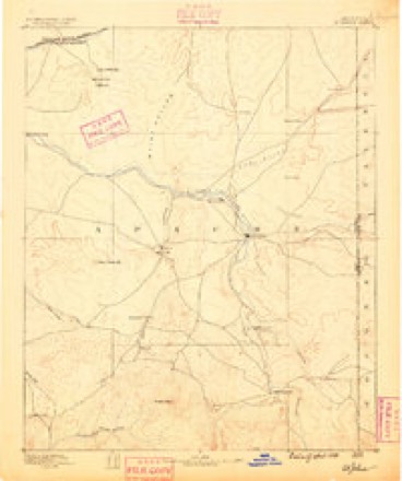
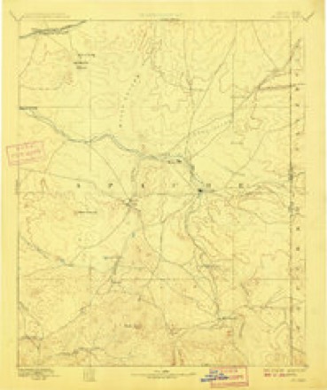
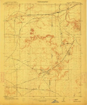
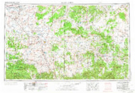
18 topographic sheets cover this place, the earliest surveyed in 1886 and the latest in 1982. It stands in the Winslow-Holbrook census division. It lies in ZIP code area 86025. The Survey maps it on the Carrizo Butte quadrangle.
Topographic sheets covering this place
10 surveys from 18 printed sheetsMatched by testing this settlement's coordinate against the published boundary of every sheet in the United States Geological Survey's historical collection. Each opens the scanned sheet at the Survey.
- 1886 USGS St Johns quadrangle1:250000
- 1892 USGS St Johns quadrangle1:250000, 5 printings
- 1912 USGS Petrified Forest quadrangle1:62500, 2 printings
- 1954 USGS Saint Johns quadrangle1:250000, 3 printings
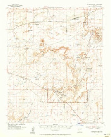
- 1955 USGS Petrified Forest quadrangle1:62500
- 1957 USGS Saint Johns quadrangle1:250000
- 1958 USGS Saint Johns quadrangle1:250000, 2 printings
- 1962 USGS Saint Johns quadrangle1:250000
- 1981 USGS Saint Johns quadrangle1:100000
- 1982 USGS Carrizo Butte quadrangle1:24000
Mines and quarries near this place
4 within 5 milesRegional context, not property-specific evidence. The federal mineral resources record lists 4 workings within 5 miles of Ubank Place: 2 past producers, 1 occurrence, 1 prospect. None of them still produces. What was taken out: Uranium, Uranium, Vanadium, Helium. Distance is straight-line from the map coordinates, so a quarry counted here may appear on a neighbouring settlement's page as well.
| Where | Site | Commodity | Status | Recorded |
|---|---|---|---|---|
| Franklin,Aston & Fair C-1 Nma | Helium | Past Producer | ||
| Ruth Deposit | Uranium, Vanadium | Occurrence | Replacement | |
| Curry Jones Prospect | Uranium | Prospect | ||
| Little John & Ruth | Uranium | Past Producer |
Nearest settlements
The eight closest, with where each one stands in the county. Distances are straight-line, computed from the Geographic Names Information System coordinates.
| Map | Place | Distance | Sheets |
|---|---|---|---|
| Arntz | 5.1 miles | 17 | |
| Goodwater | 5.6 miles | 18 | |
| Sun Valley | 7.4 miles | 17 | |
| Headquarters | 8.1 miles | 18 | |
| Lisitzky Subdivision | 9.9 miles | 18 | |
| Woodruff | 10.2 miles | 17 | |
| Clearview Heights | 10.3 miles | 18 | |
| Rosedale Heights | 10.7 miles | 18 |
Elsewhere
Matched on this settlement's Geographic Names Information System number rather than its name, so it cannot be a different place of the same name in another state.
| Wikidata item Q122573349 | The structured record the population and elevation above come from. Public domain (CC0). |
Provenance
This settlement is recorded in the Geographic Names Information System as feature 24667. The sheet list is computed by point-in-boundary test against the United States Geological Survey's historical topographic inventory. Both are works of the United States government and carry no copyright under 17 U.S.C. 105.
Mines and quarries. USGS Mineral Resources Data System (MRDS) https://mrdata.usgs.gov/mrds/ A work of the United States government, no copyright under 17 U.S.C. 105.