Block
From the record
46 National Register listings published here, 1 of them a National Historic Landmark.
Sources: the National Register database, National Park Service
201 topographic sheets and 15 fire insurance atlases across 2 places.
46 National Register listings published here, 1 of them a National Historic Landmark.
Sources: the National Register database, National Park Service
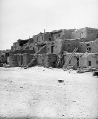
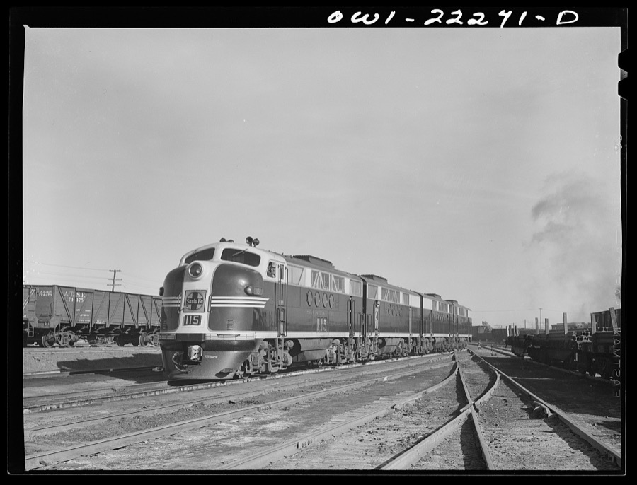
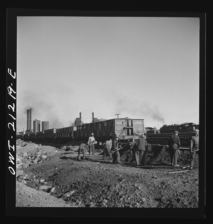
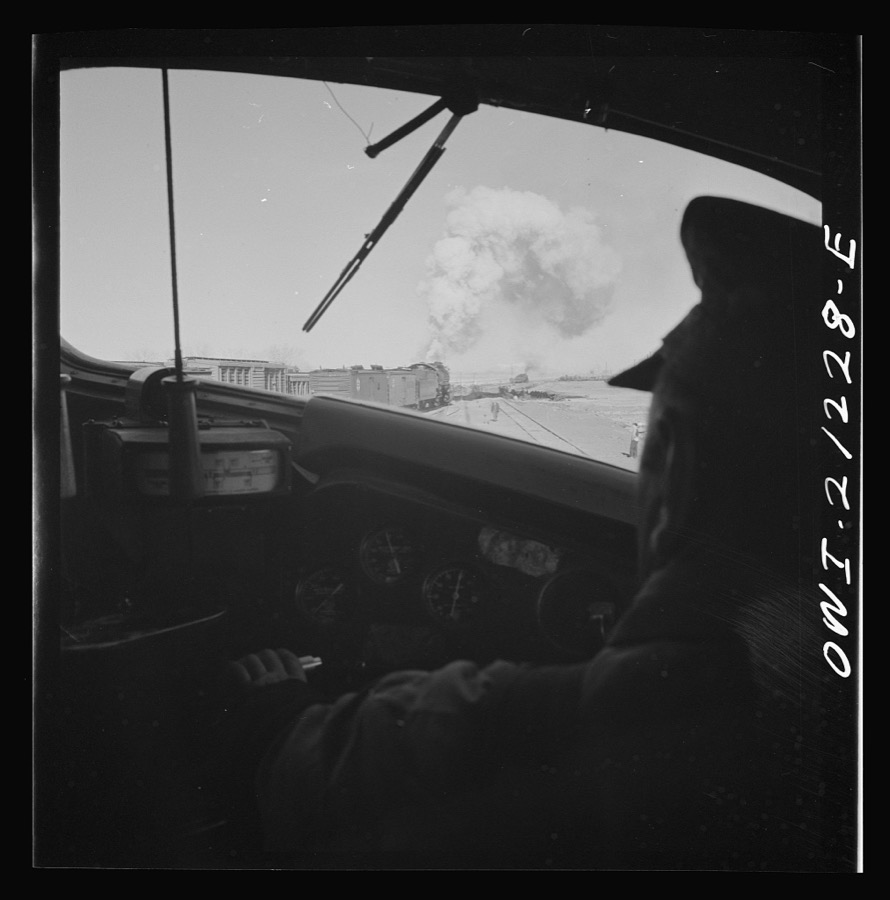
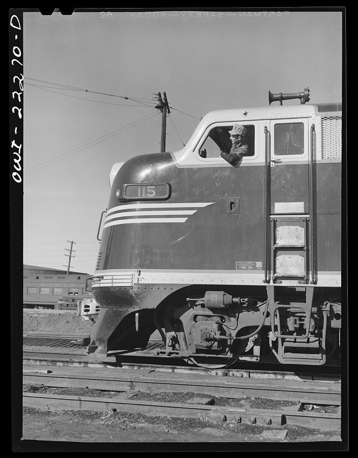
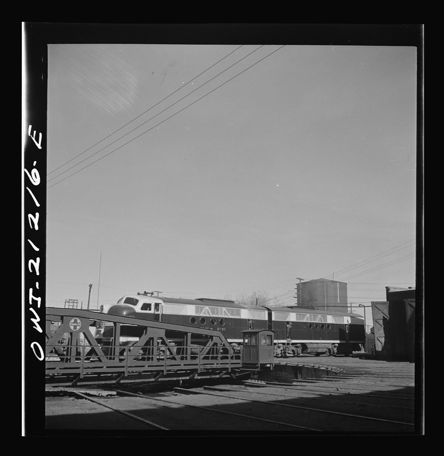
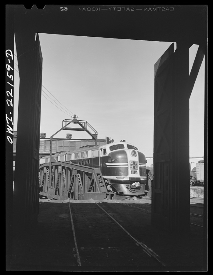
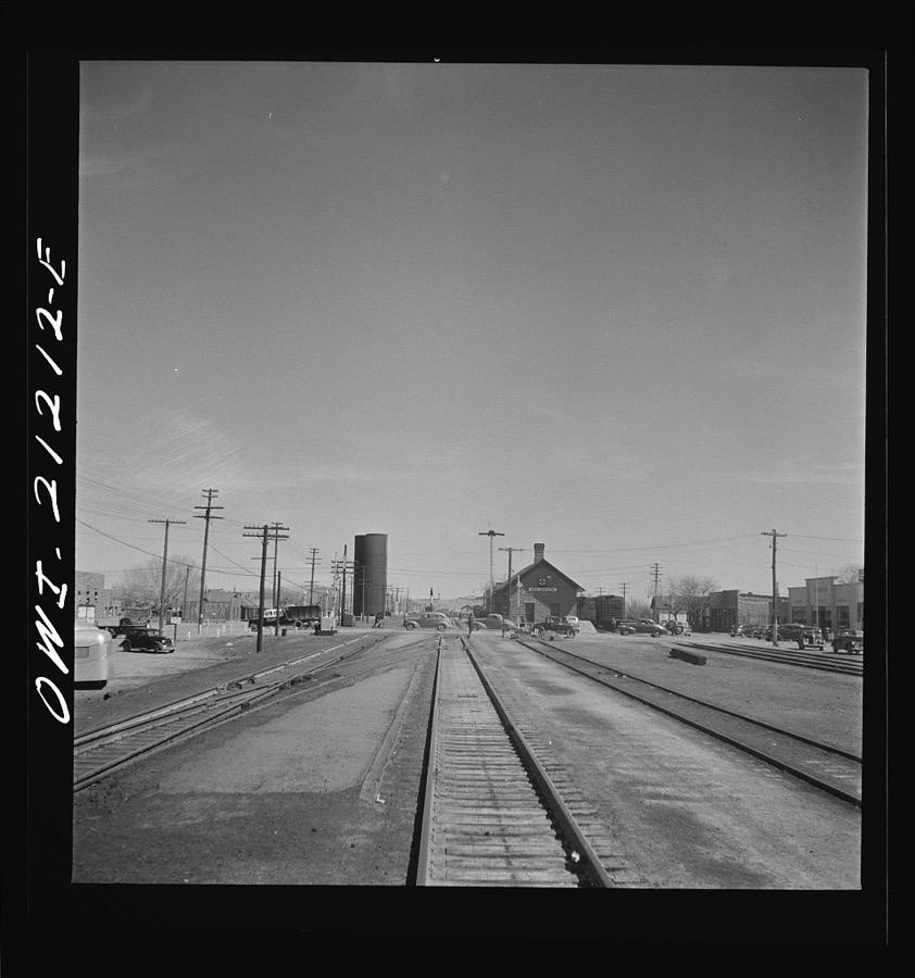
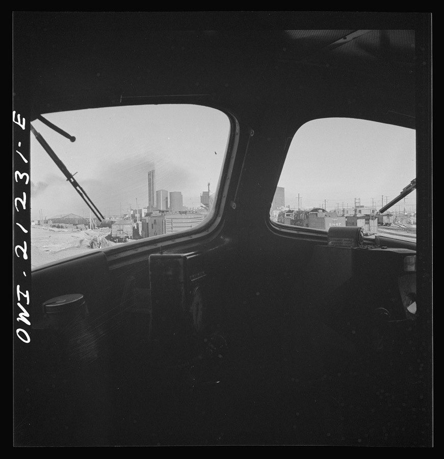
Taken for the Office of War Information and the Farm Security Administration, who photographed the country between 1935 and 1944. Works of United States government photographers, with no known restriction on use. Each opens its catalogue record.
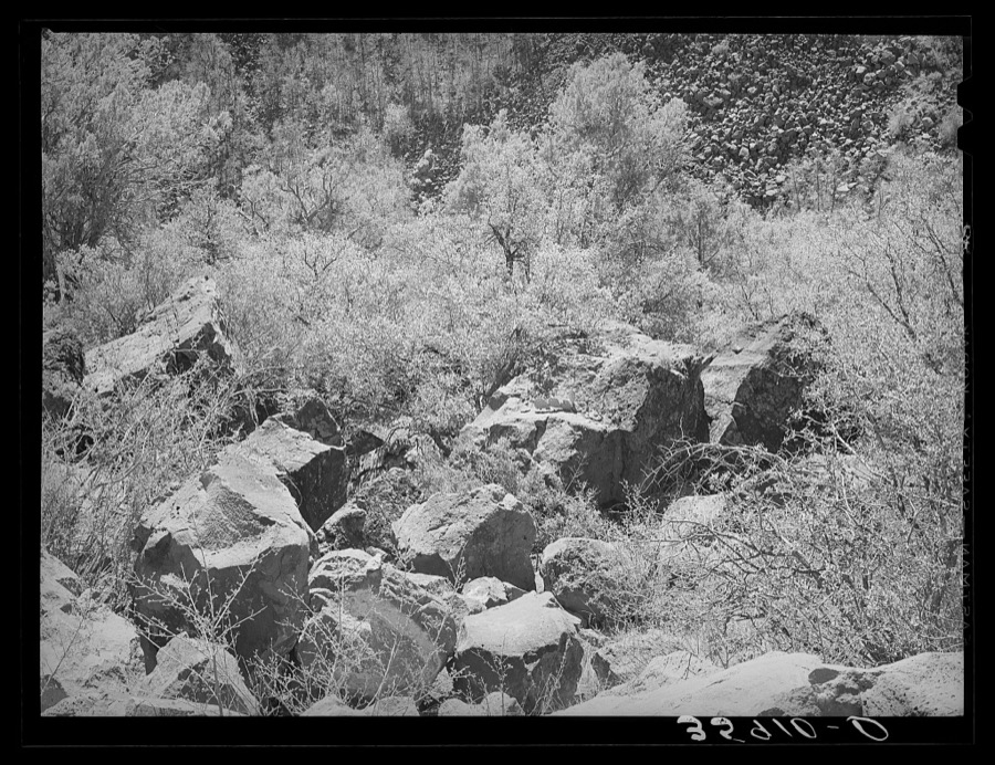
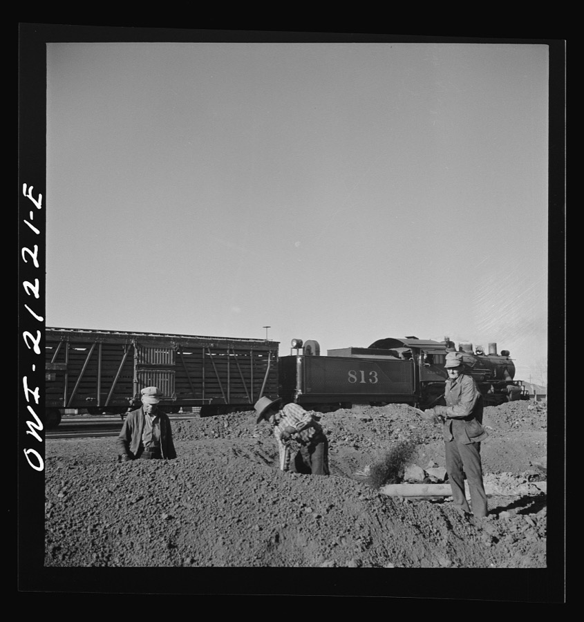
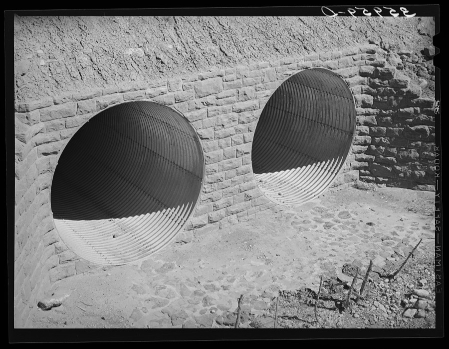
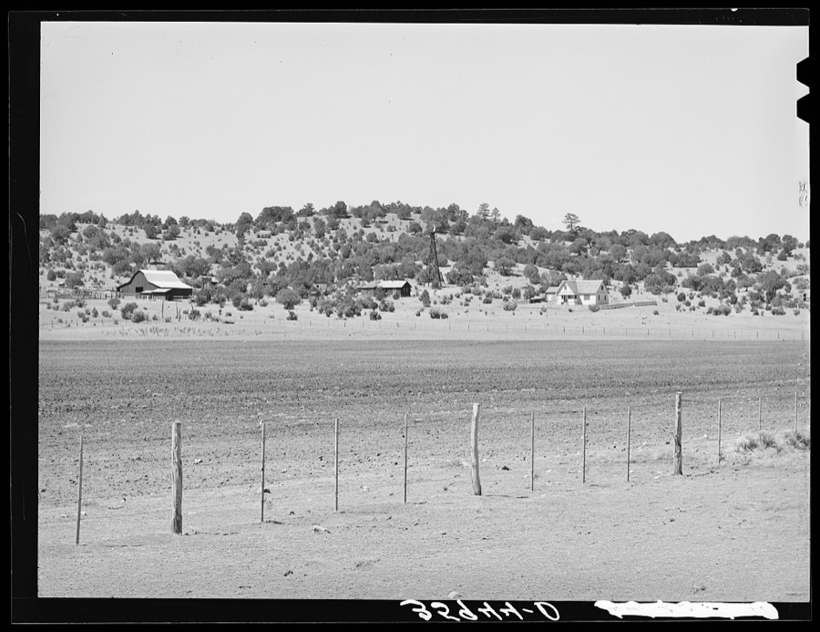
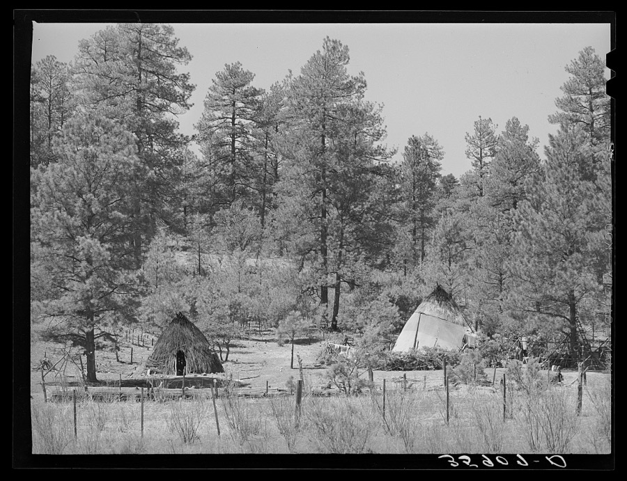
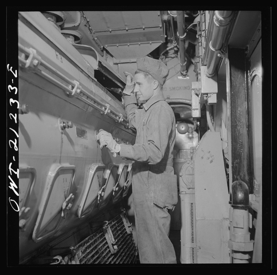
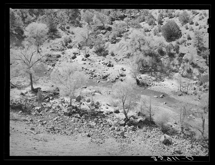
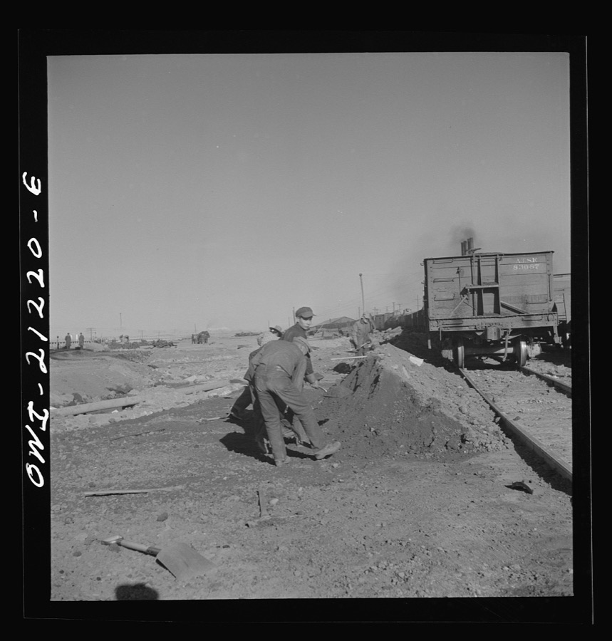
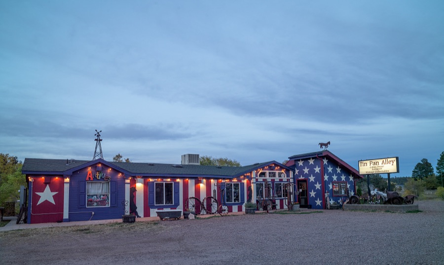
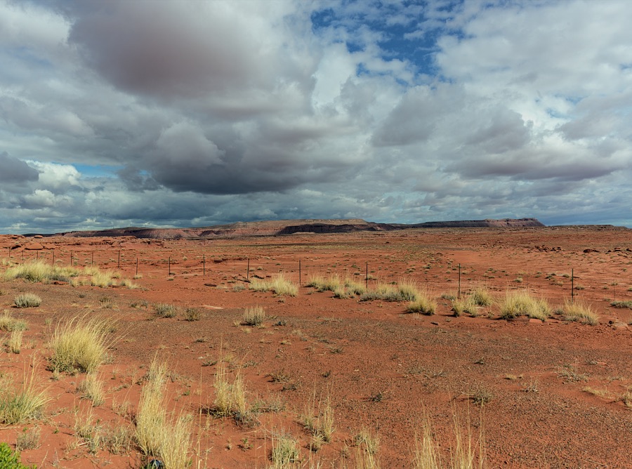
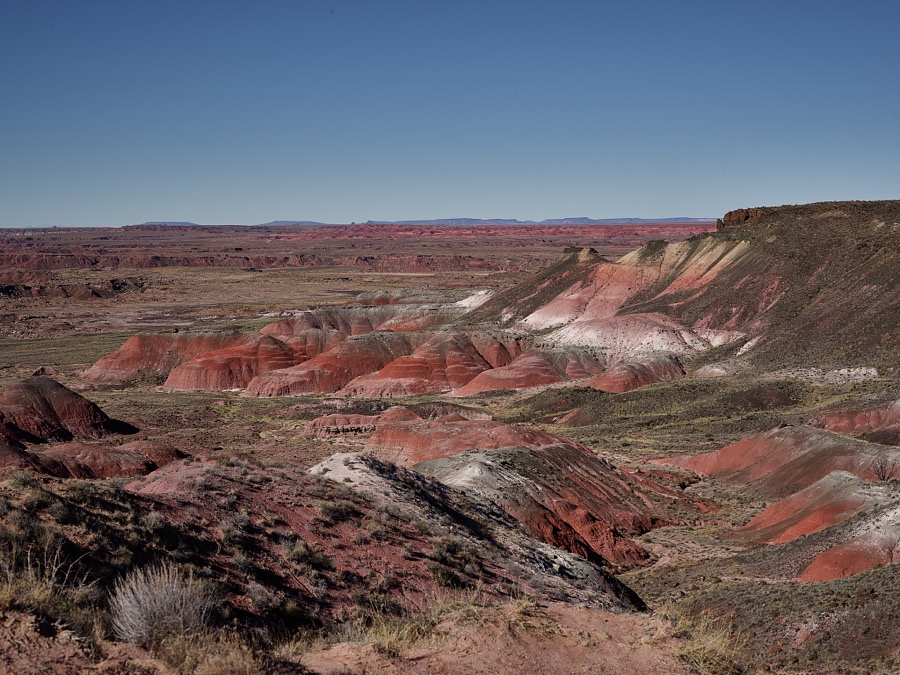
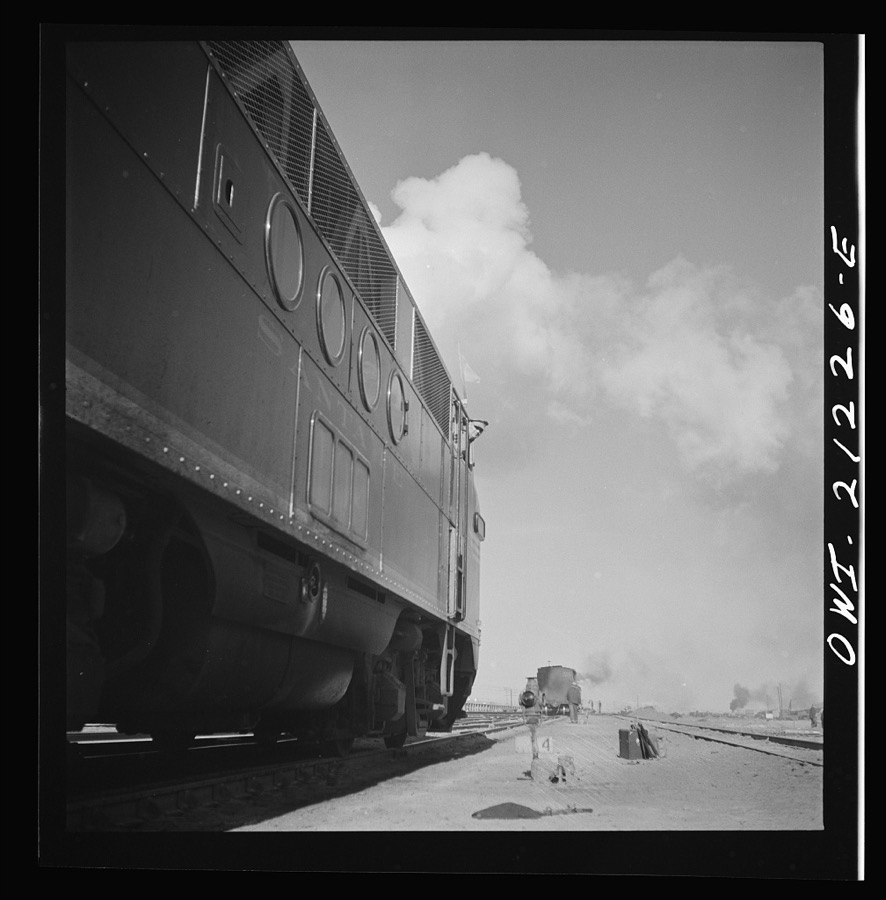
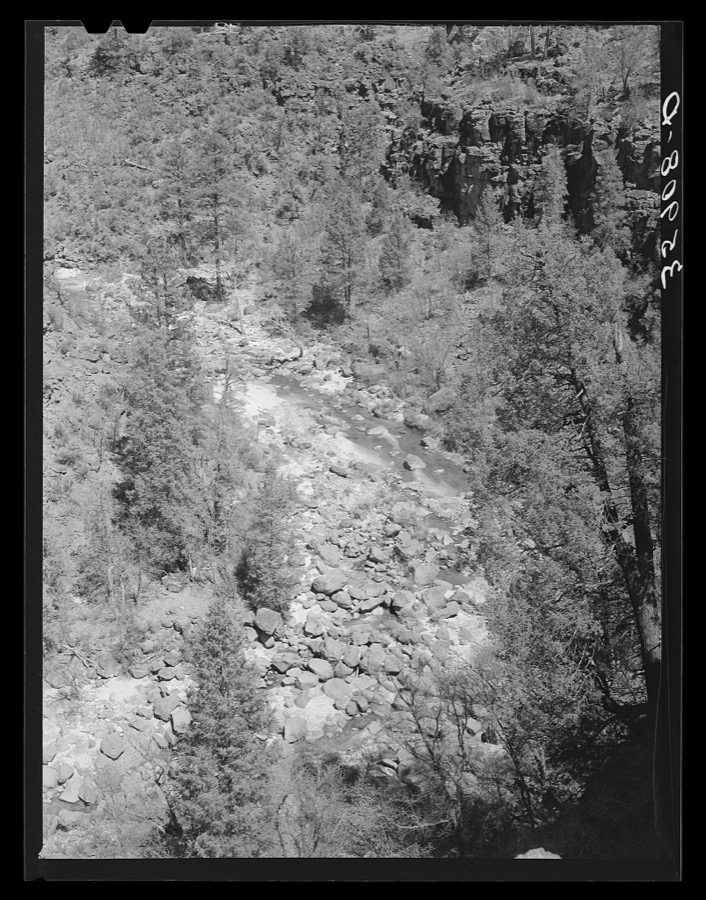
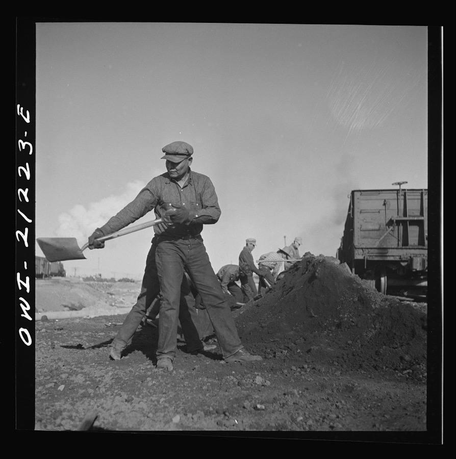
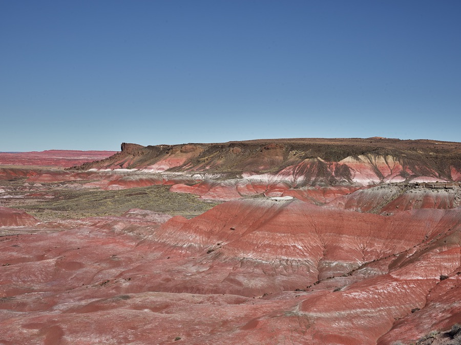
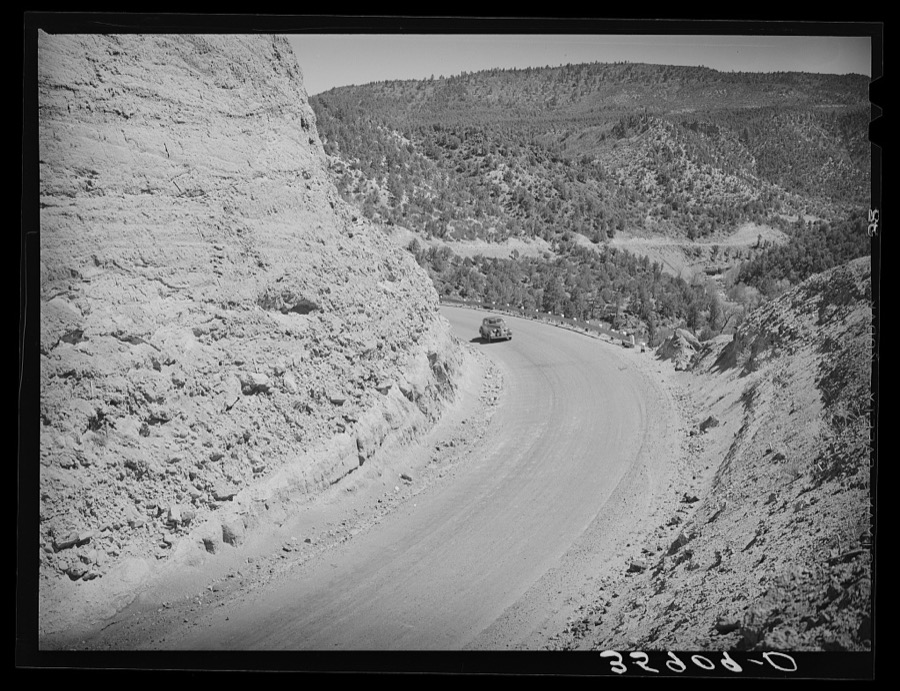
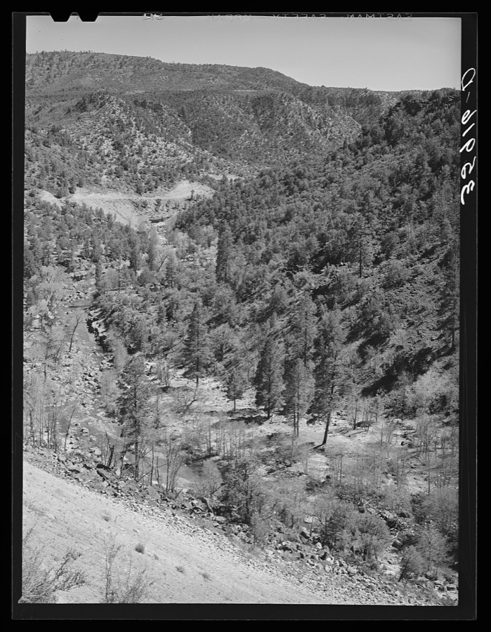
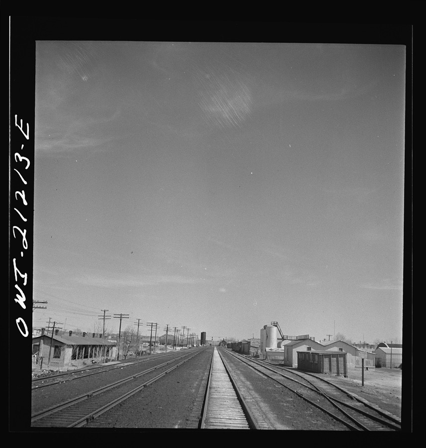
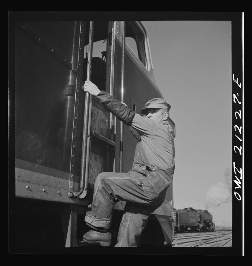
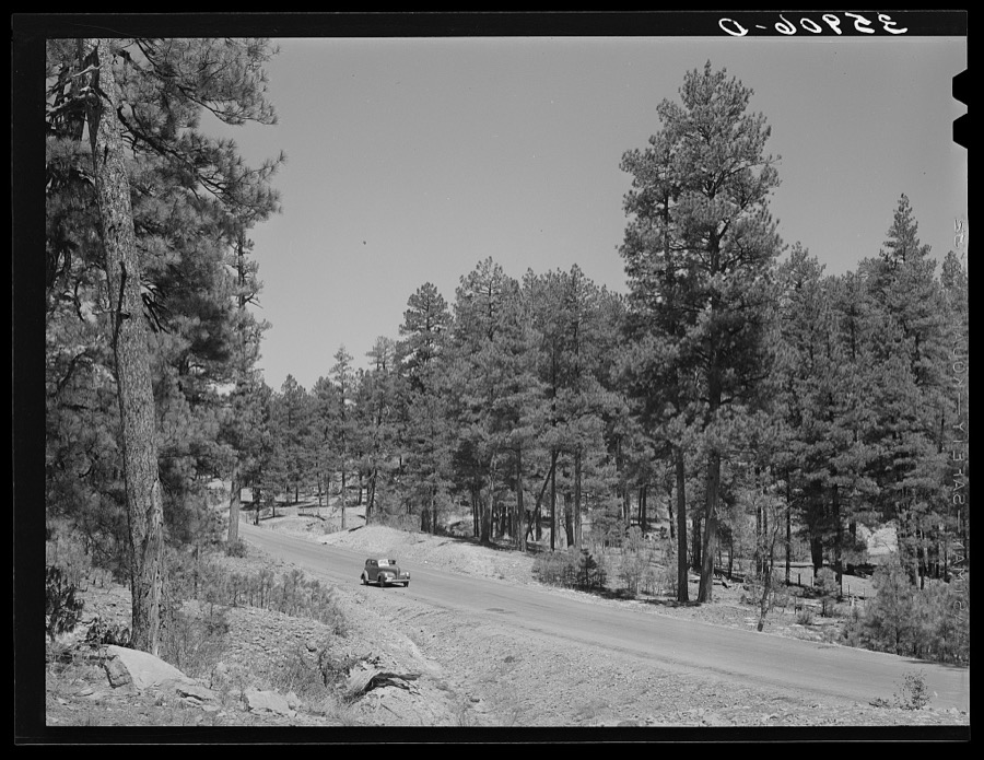
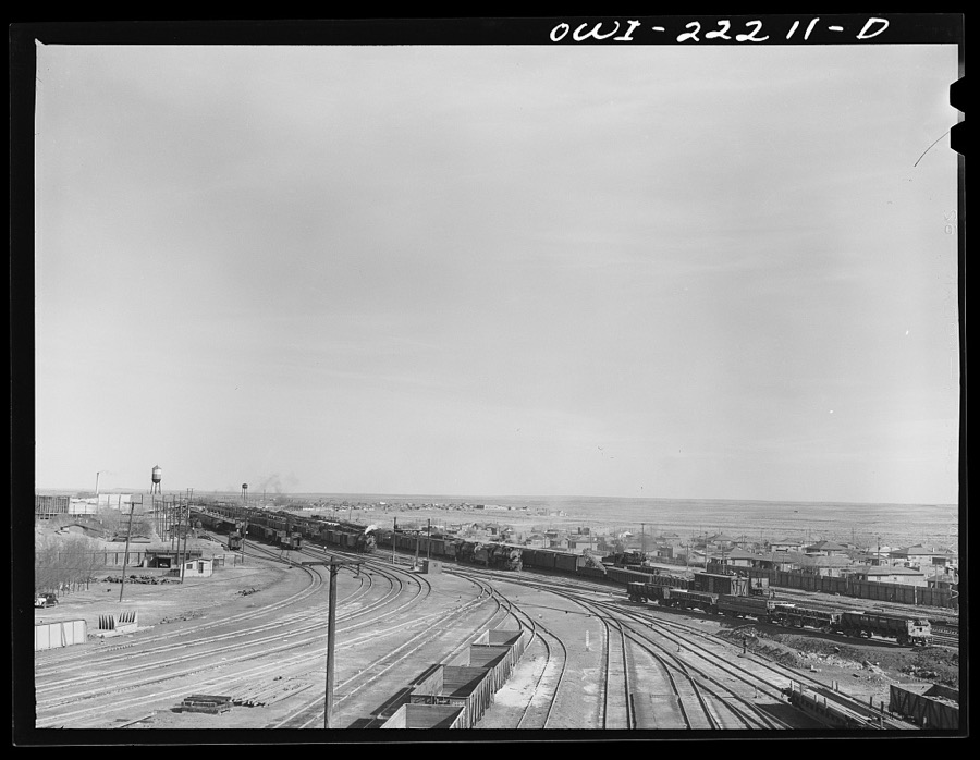
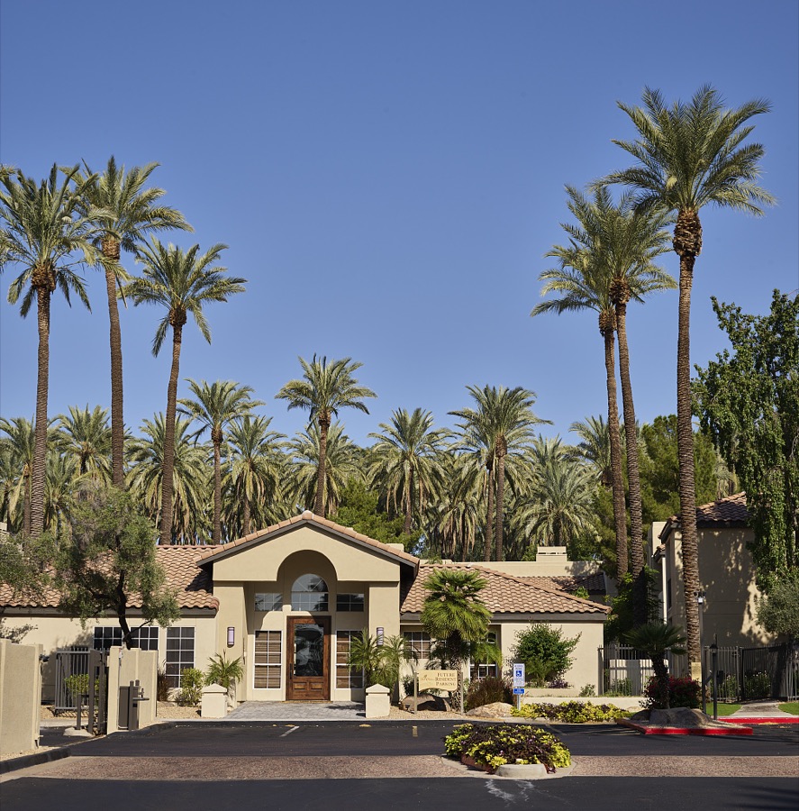
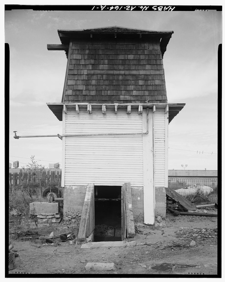
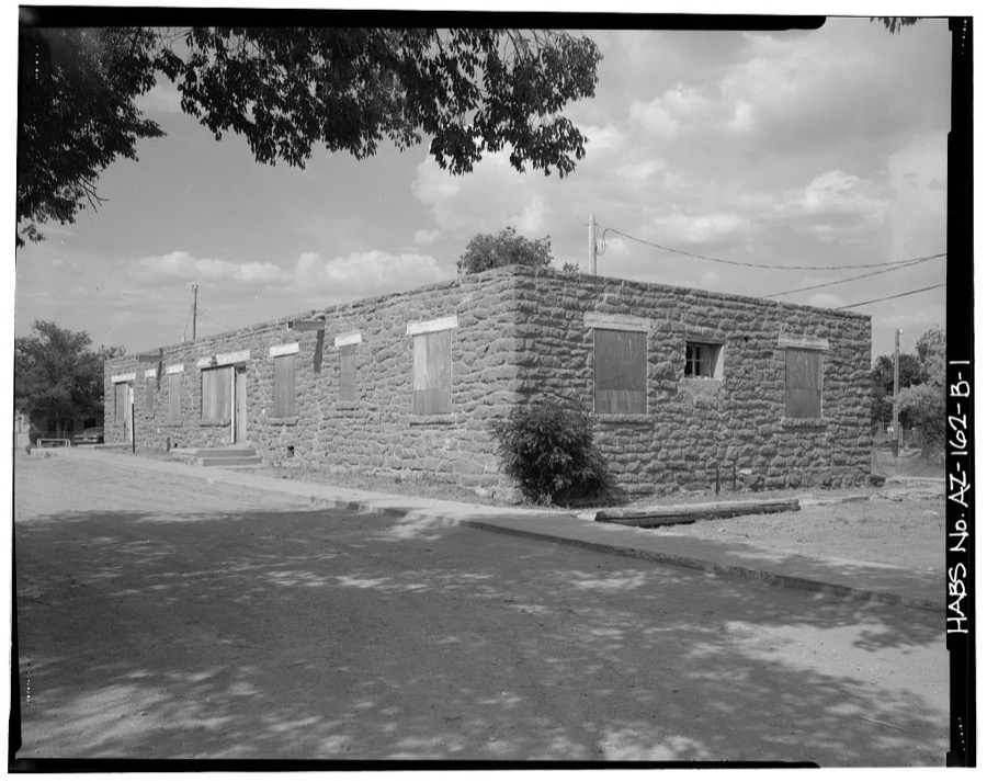
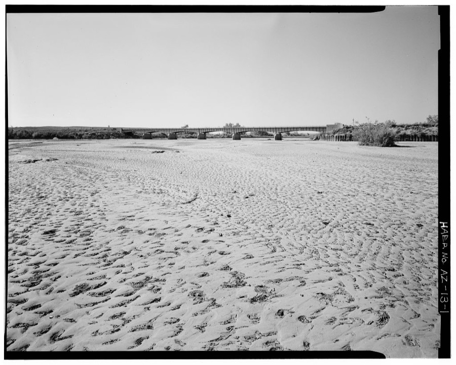
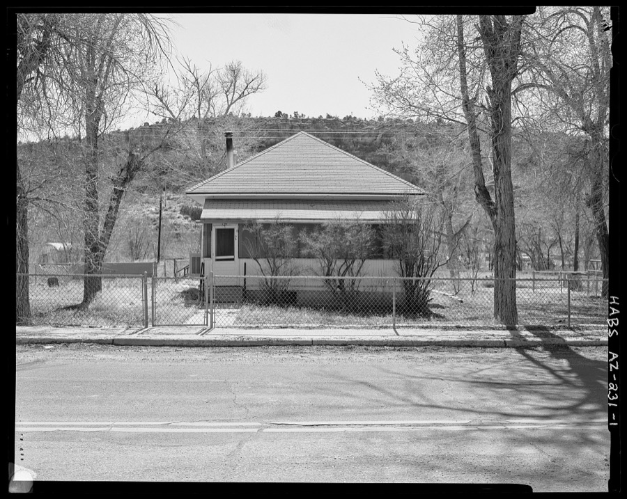
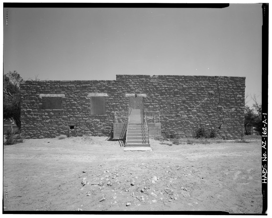
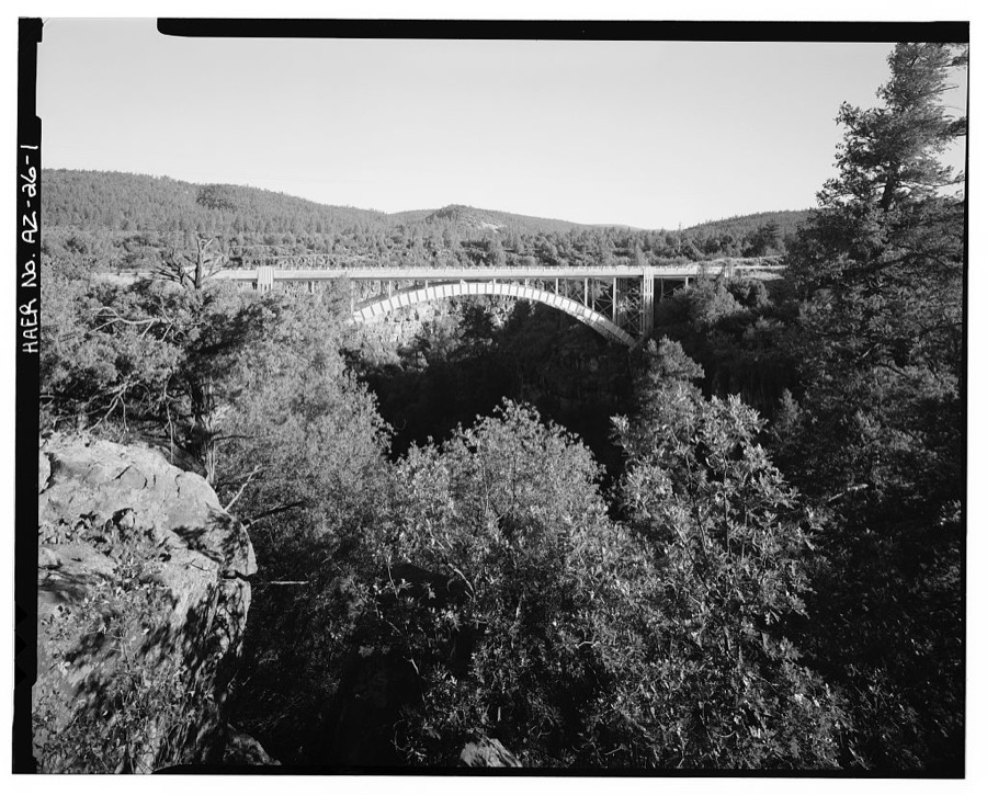
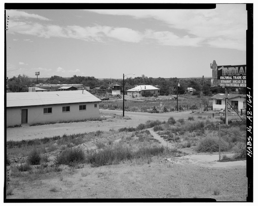
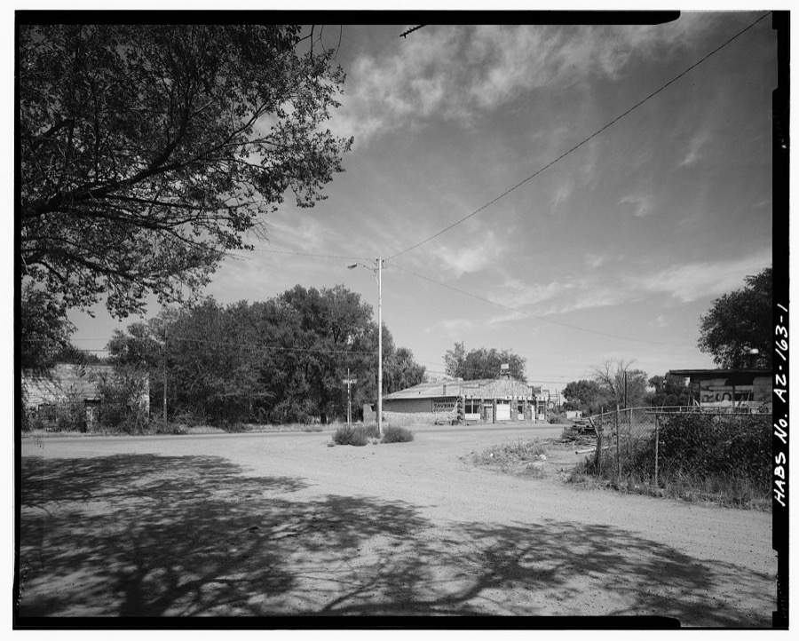
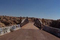
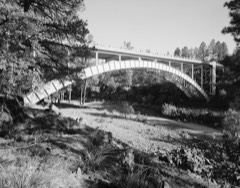
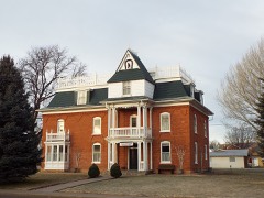
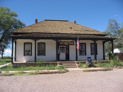
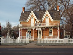
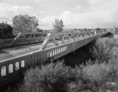
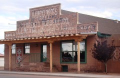
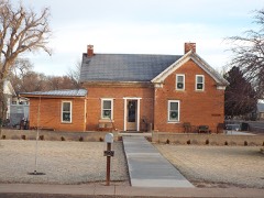
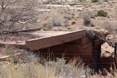
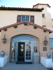
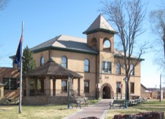
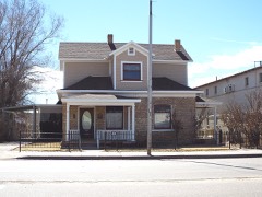
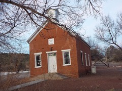
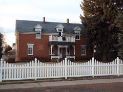
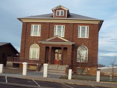
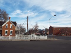
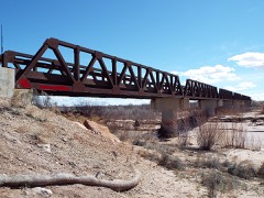
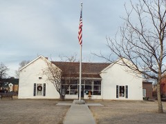
Every property in this county listed on the National Register of Historic Places, with the year it was listed and the federal nomination document.
Sampled issues, machine-read from the Library of Congress scan and published page by page, so every headline and column is searchable text.
Snowflake, Ariz., 1913 to 1969. Machine-read from the Library of Congress scan.
Holbrook, Ariz., 1895 to 1900. Machine-read from the Library of Congress scan.
Holbrook, Ariz., 1900 to 1913. Machine-read from the Library of Congress scan.
Winslow, Navajo County, Ariz., 1926 to 1932. Machine-read from the Library of Congress scan.
Holbrook, Navajo County [Ariz.], 1909 to 1923. Machine-read from the Library of Congress scan.
Winslow, Ariz., 1893 to 1926. Machine-read from the Library of Congress scan.
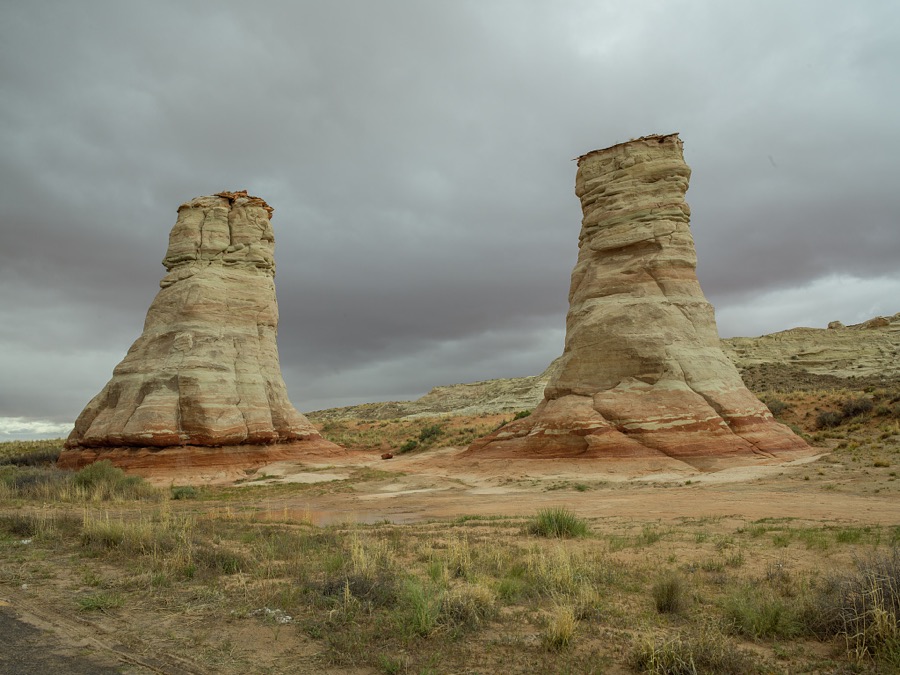
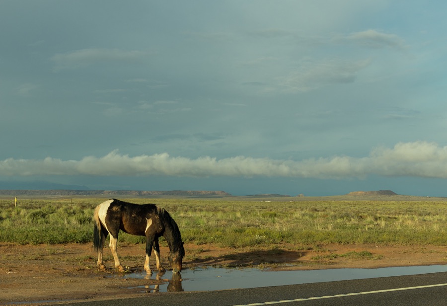
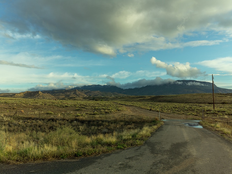
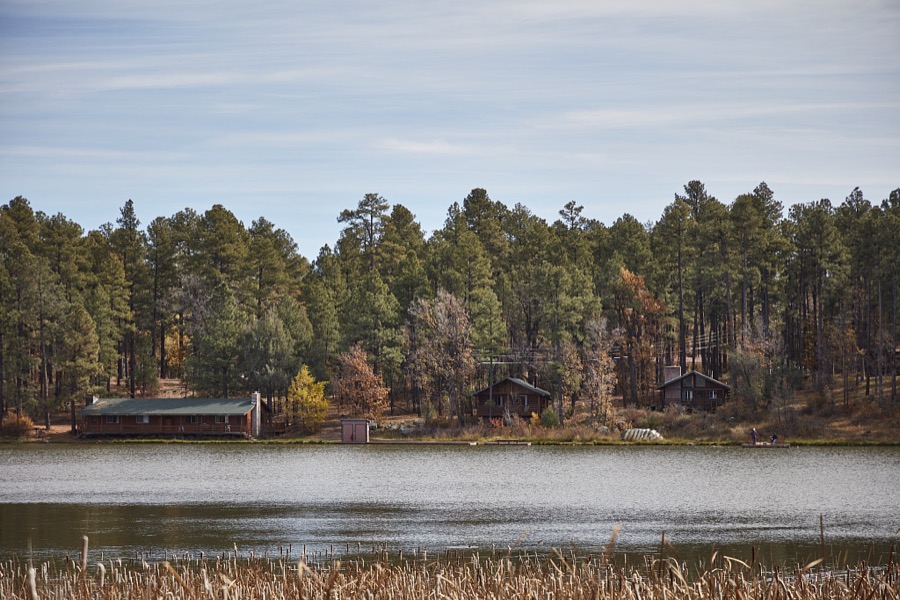
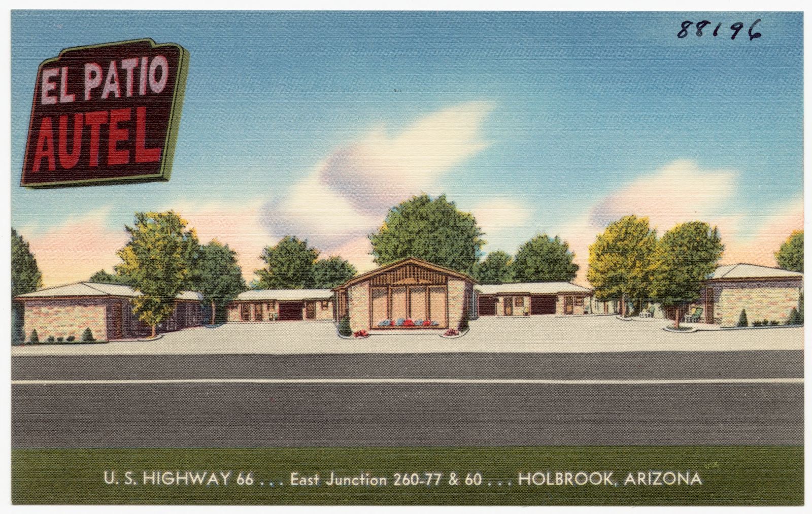
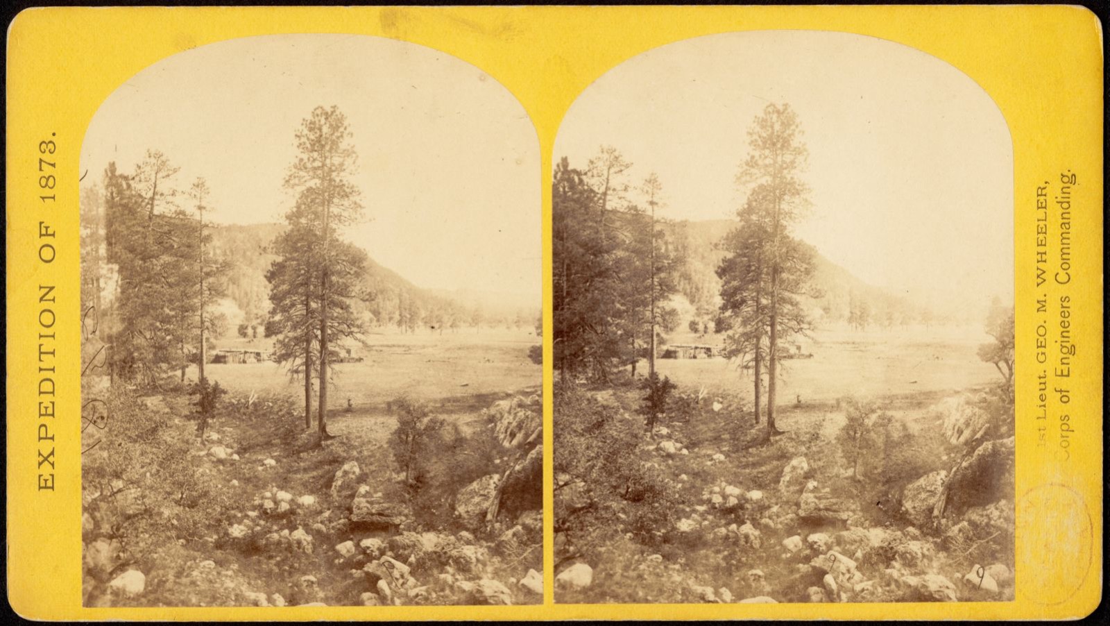
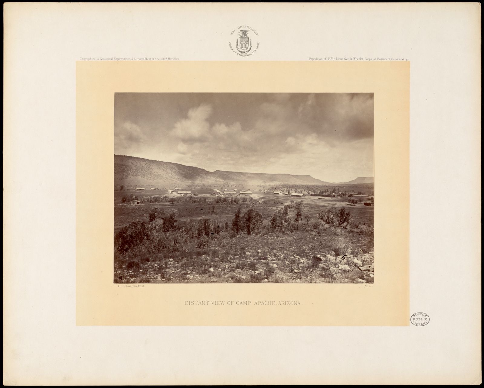
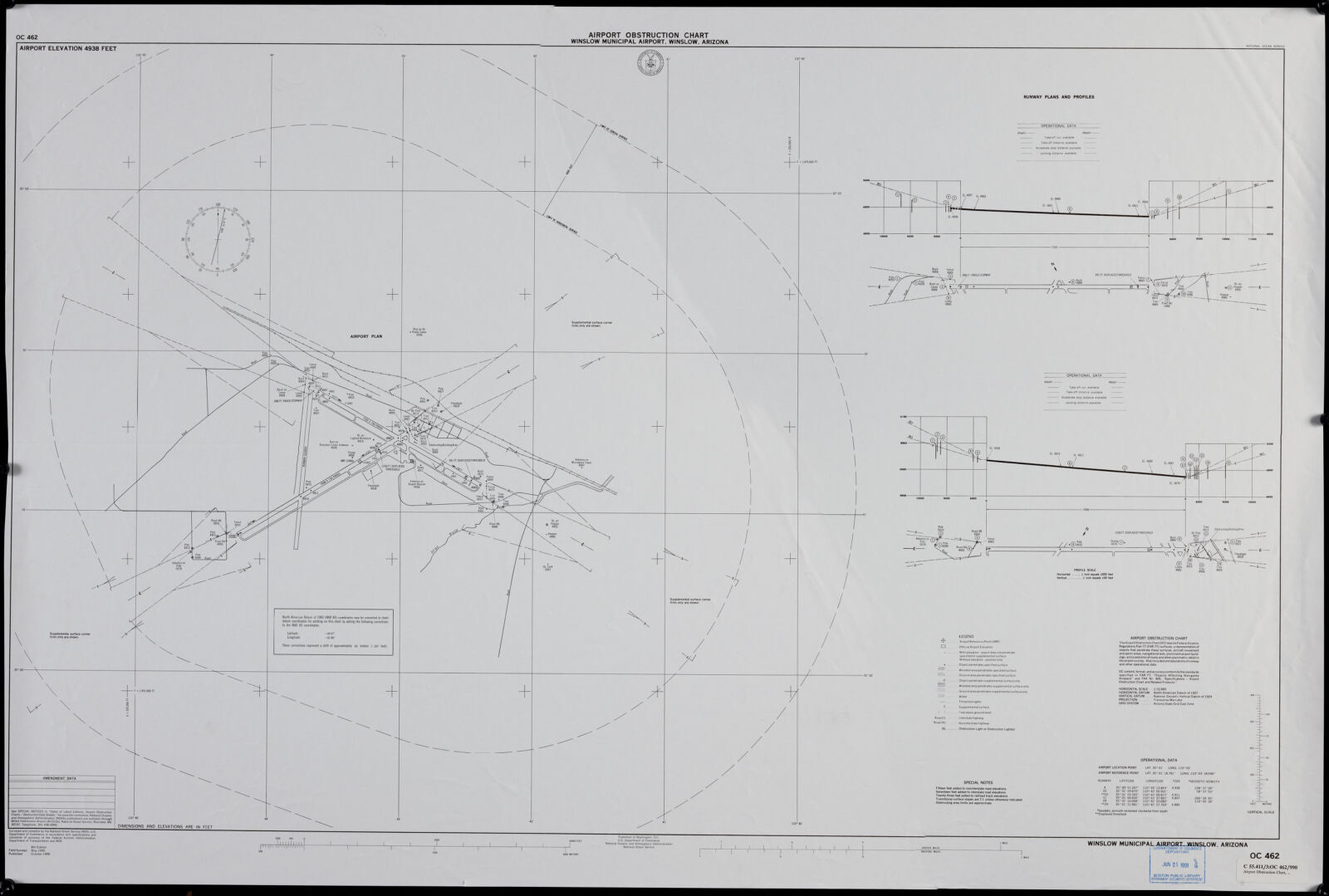
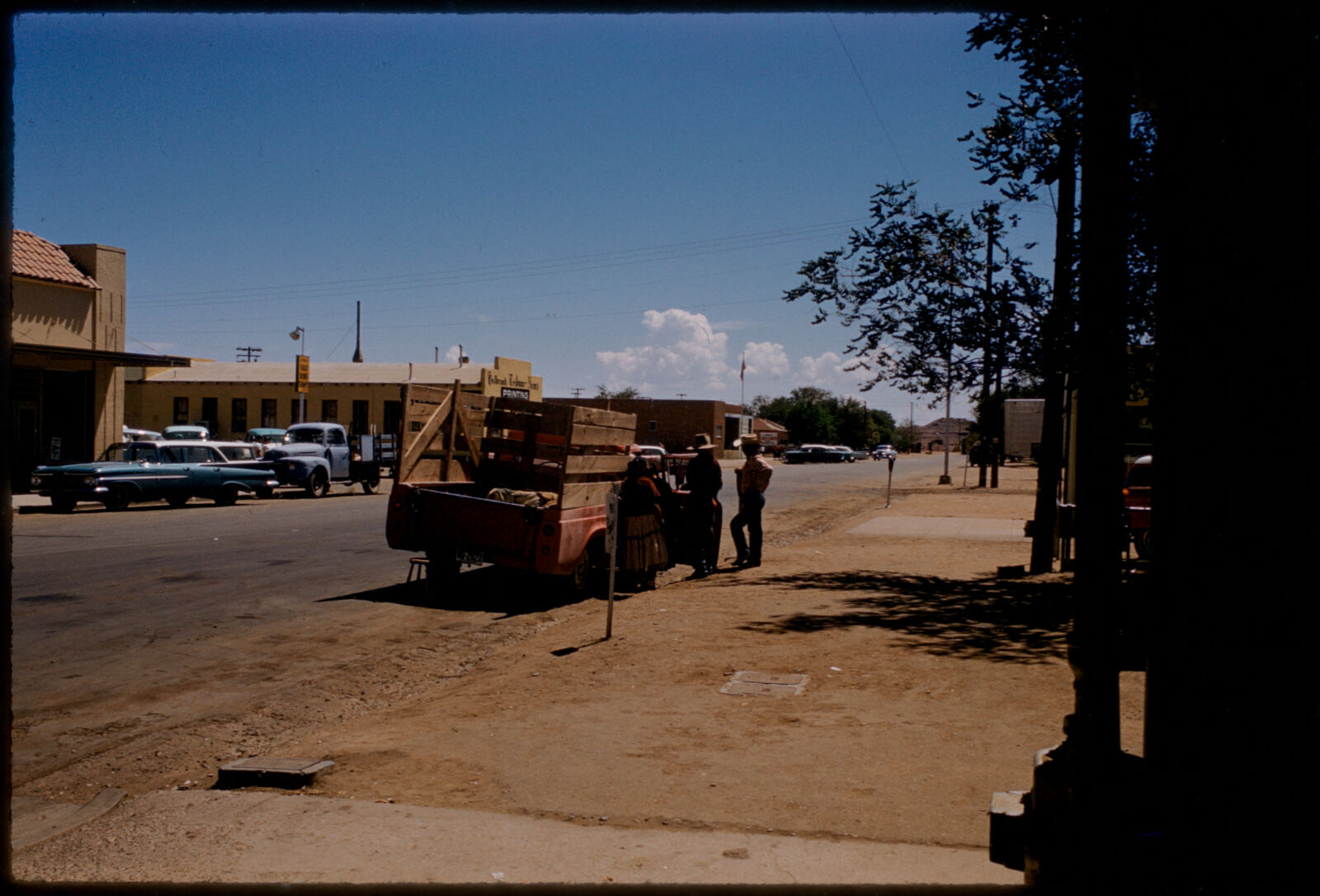
Selected from the Digital Public Library of America's 11 image records catalogued for this county. Every one shown here carries a public-domain status or a licence that permits reuse on a site that carries advertising; non-commercial, share-alike and restricted images are excluded. The selection is spread across the county's towns (at most eight per town), so no single institution's bulk upload crowds out the rest. Each opens the holding library's record, and the complete set at the Digital Public Library of America is one click away.
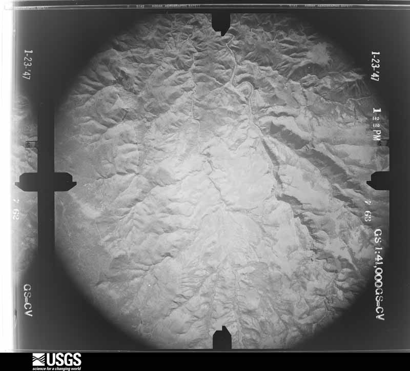
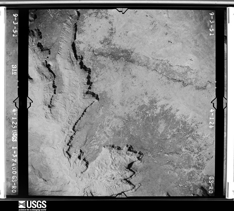
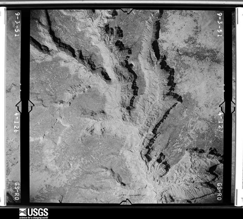
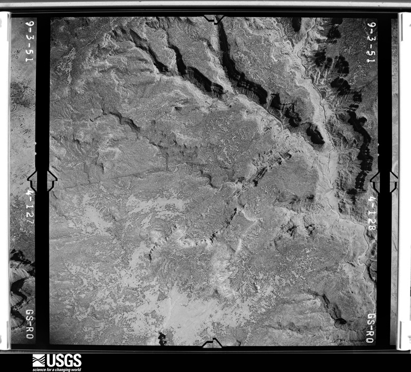
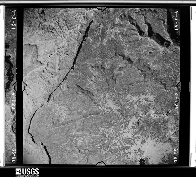
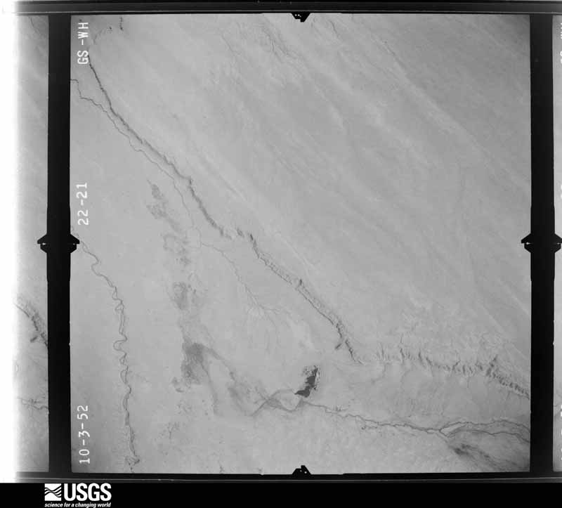
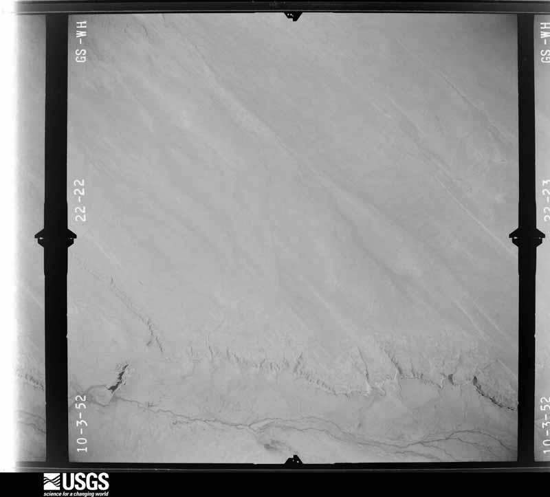
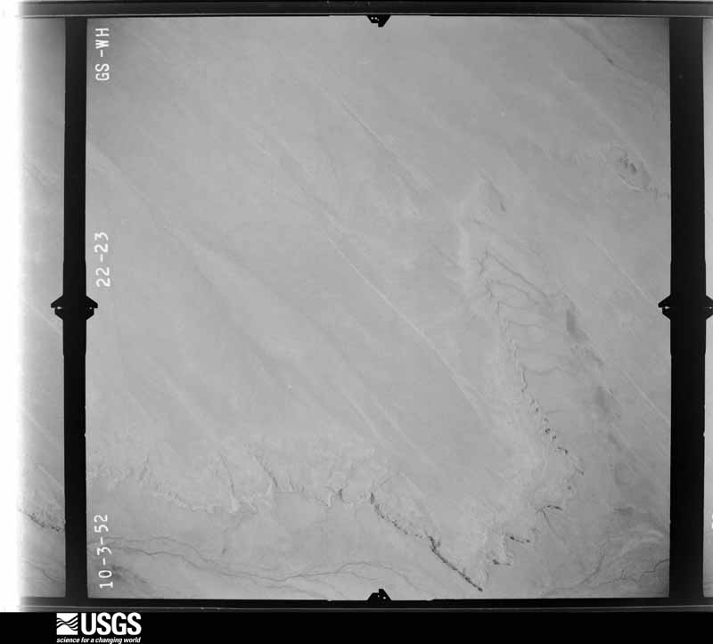
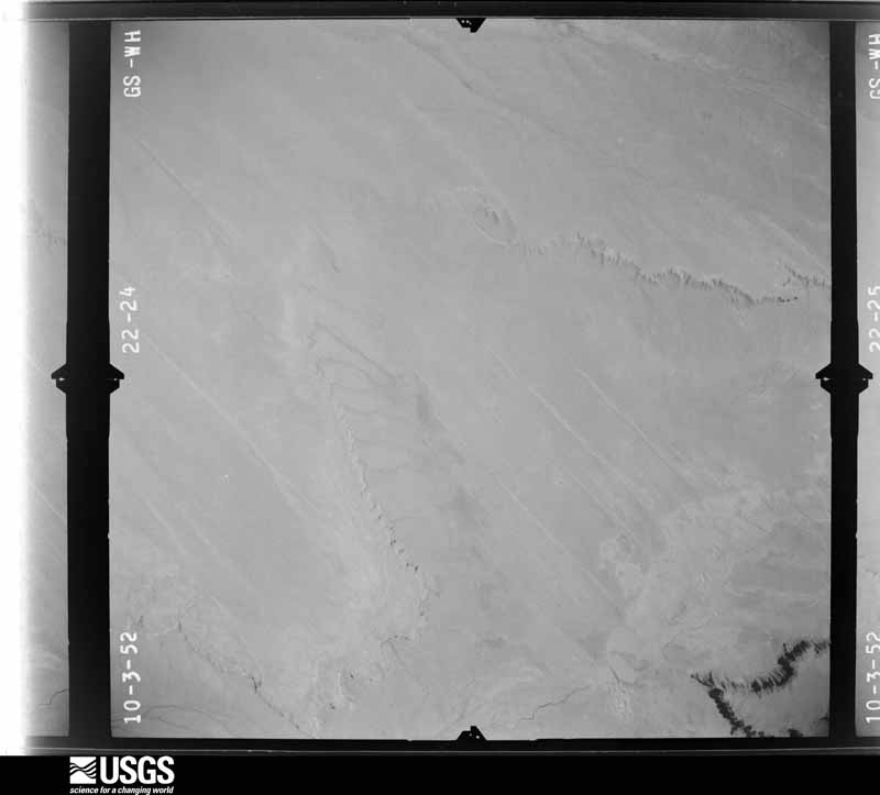
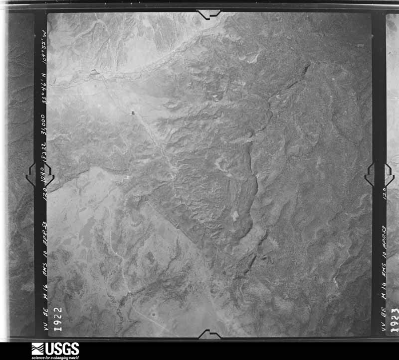
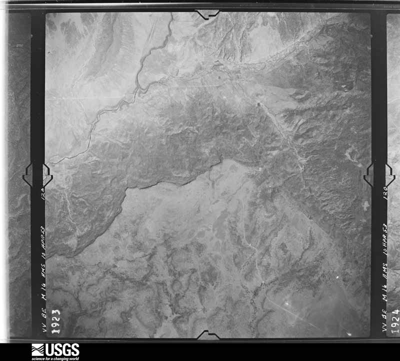
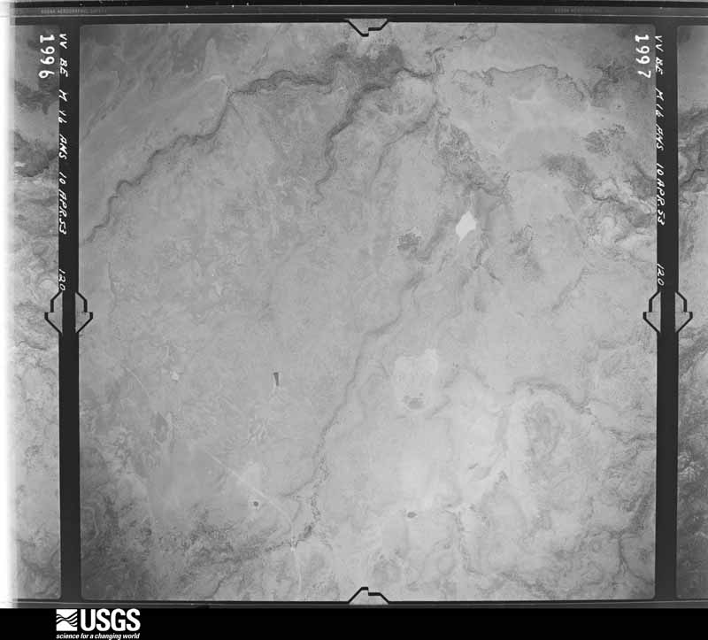
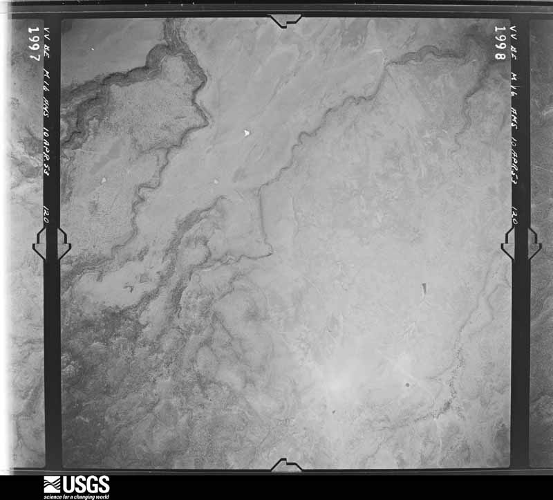
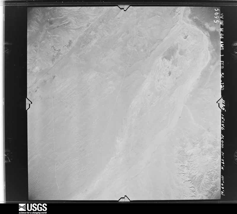
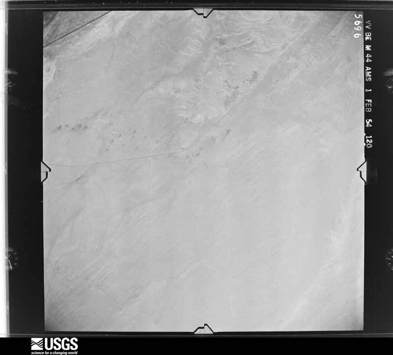
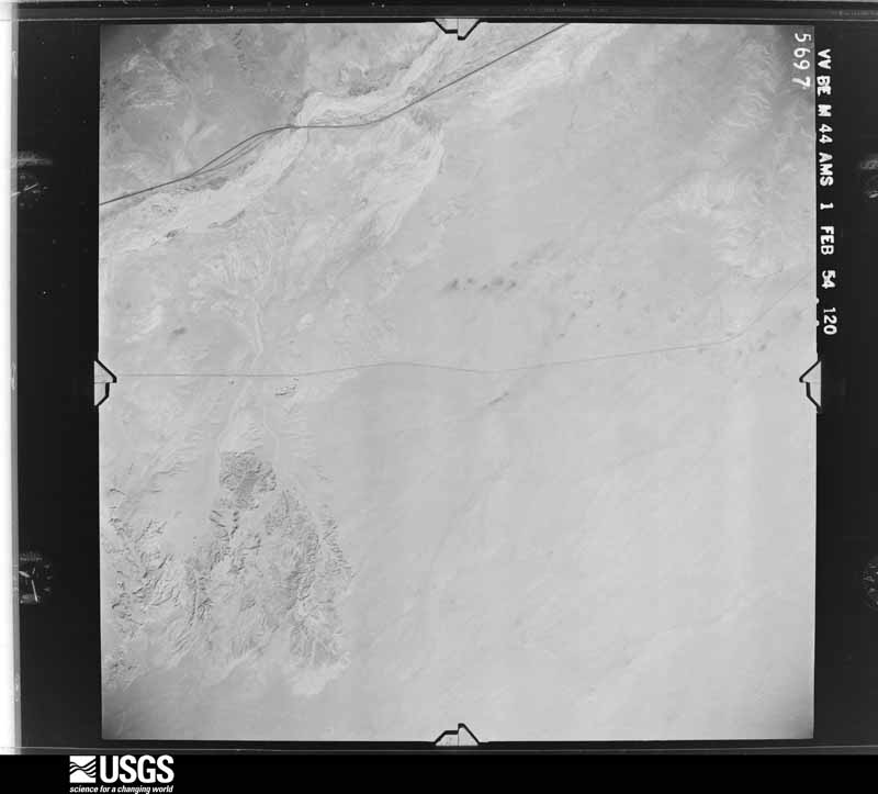
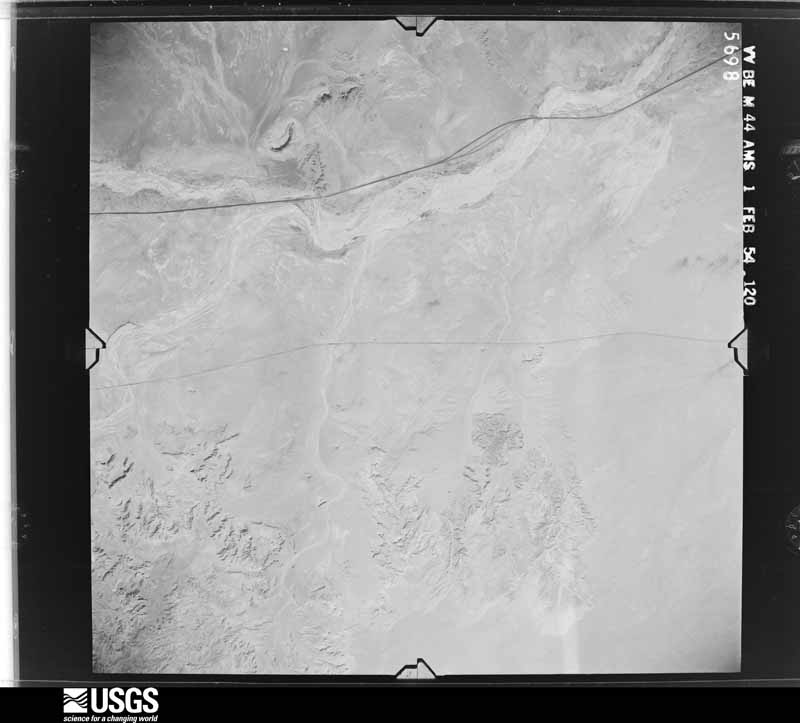
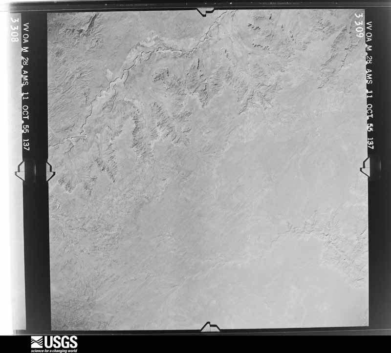
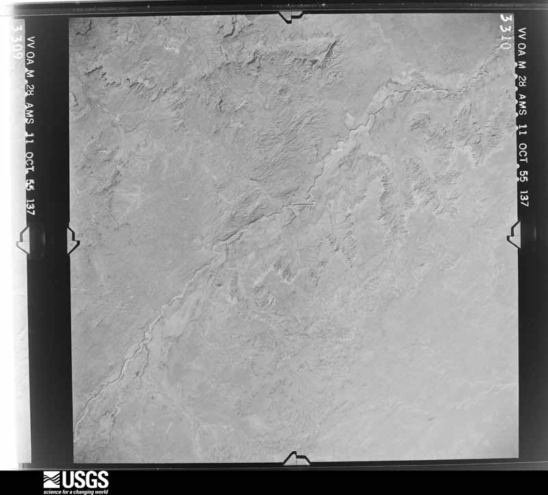
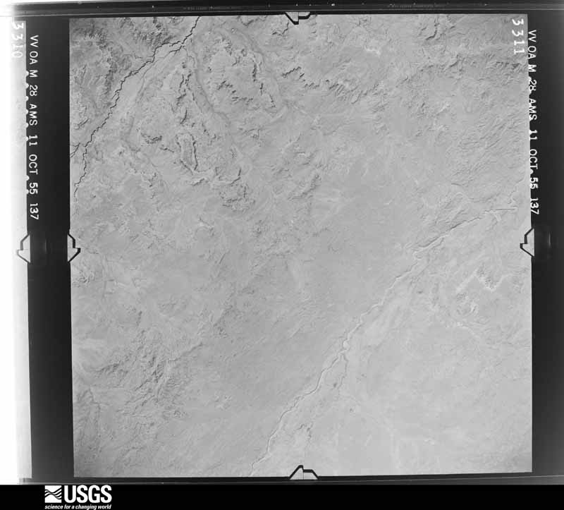
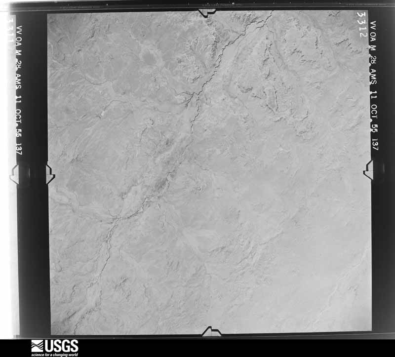
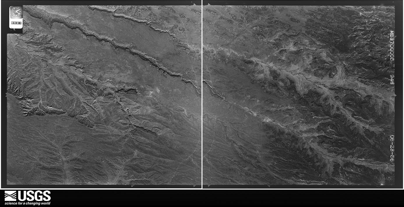
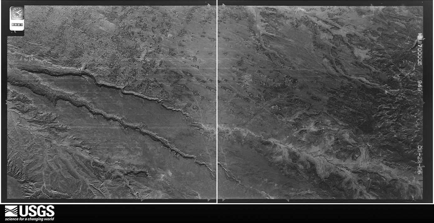
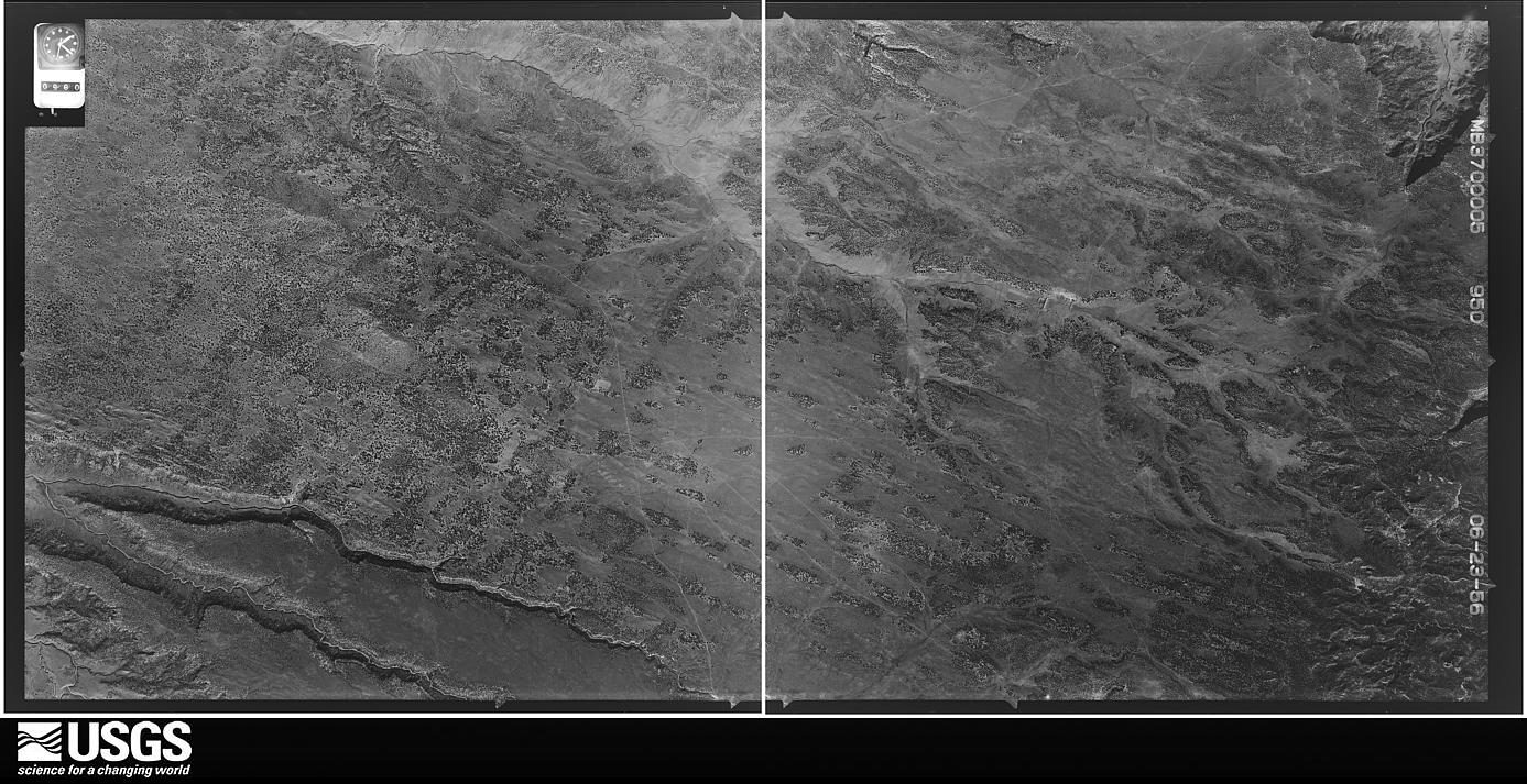
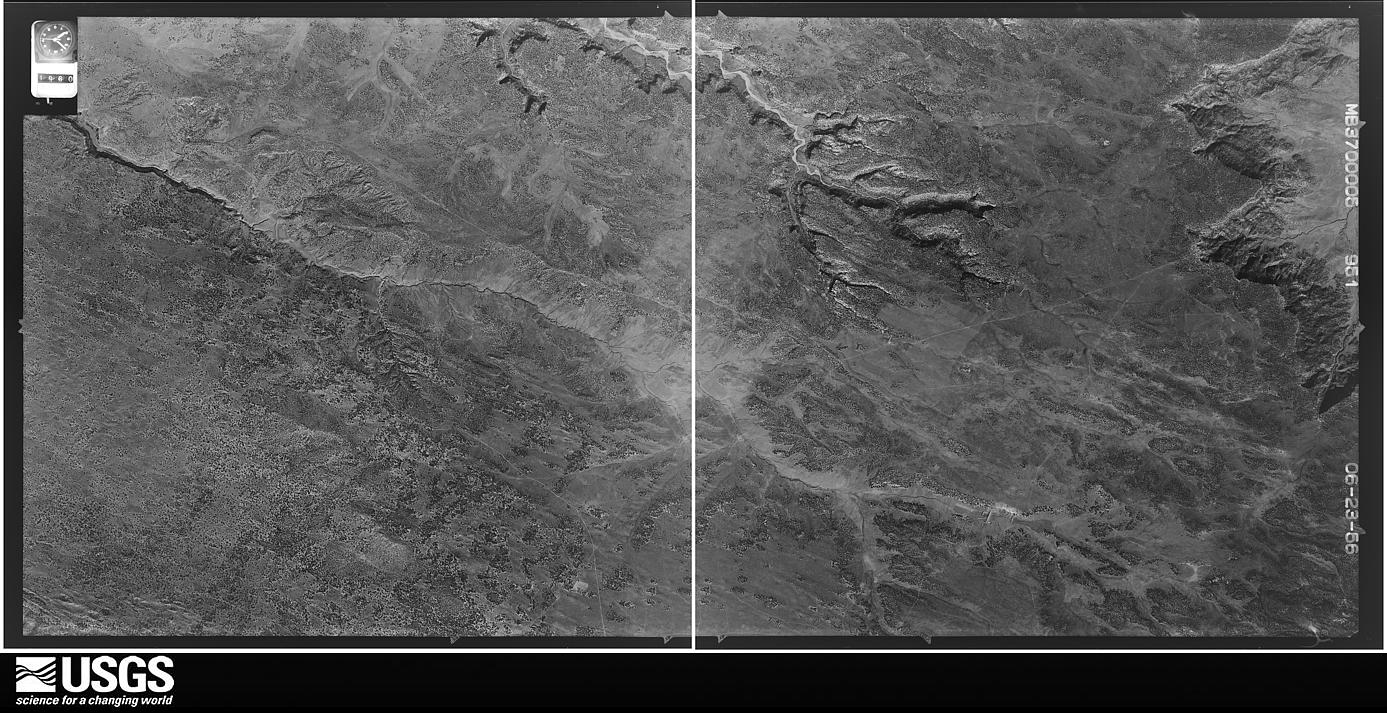
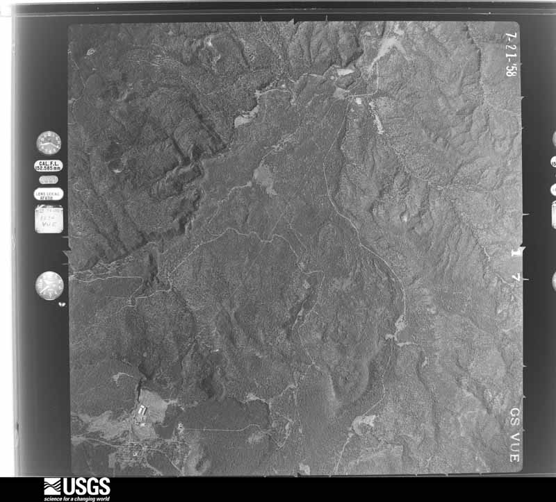
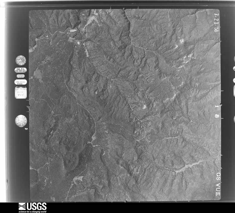
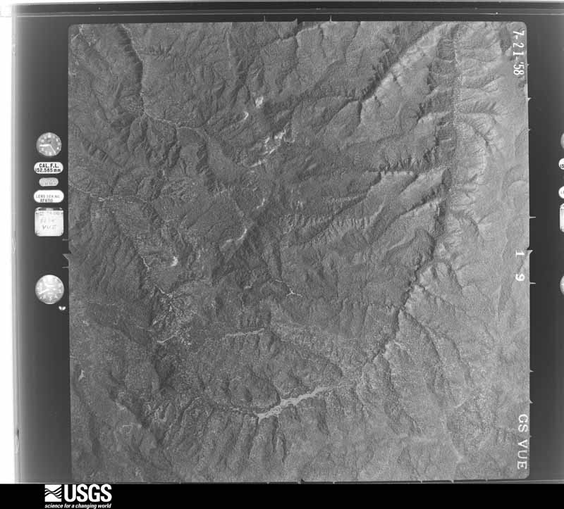
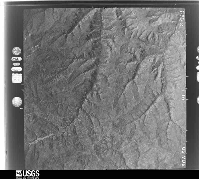
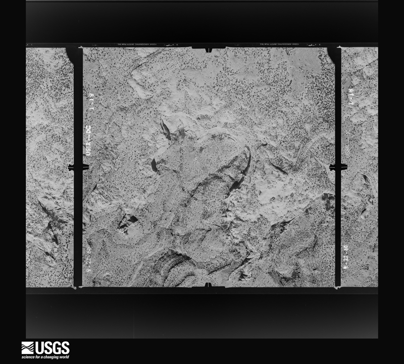
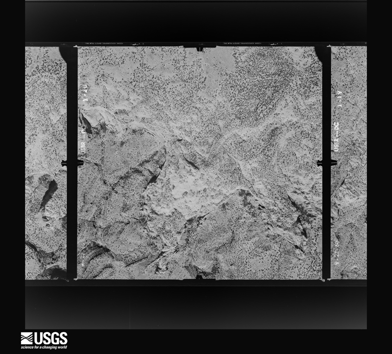
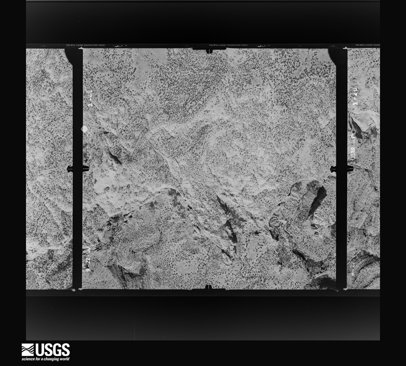
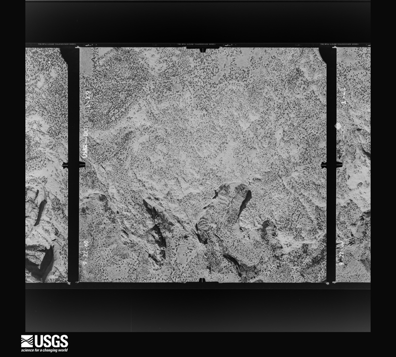
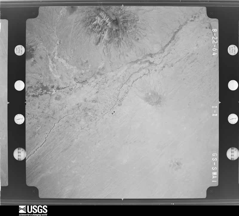
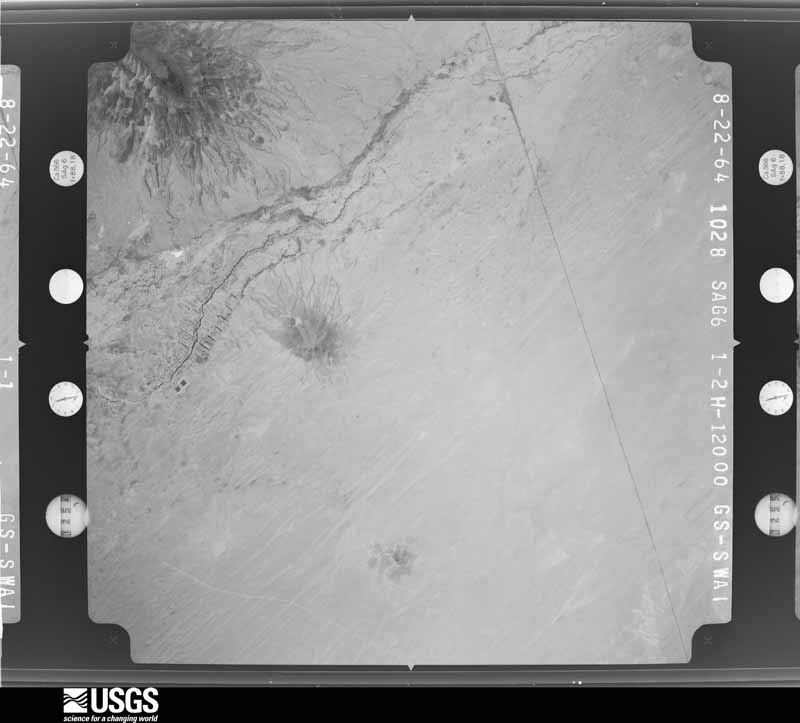
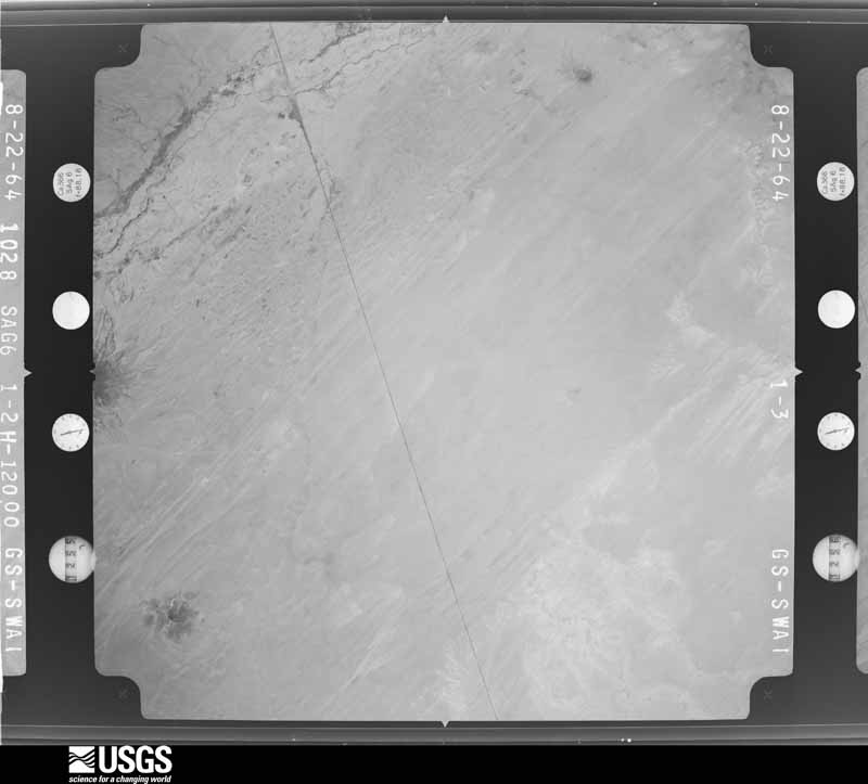
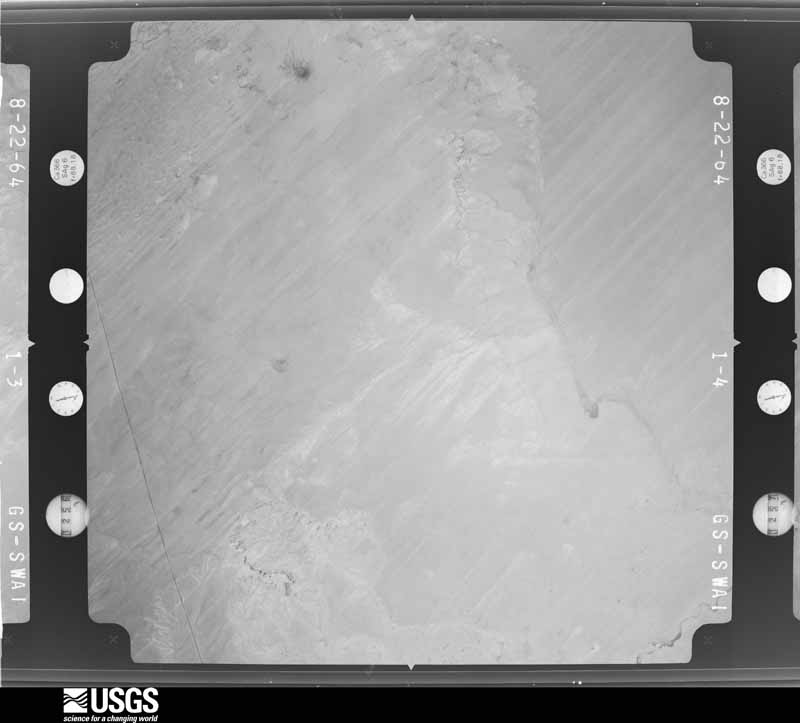
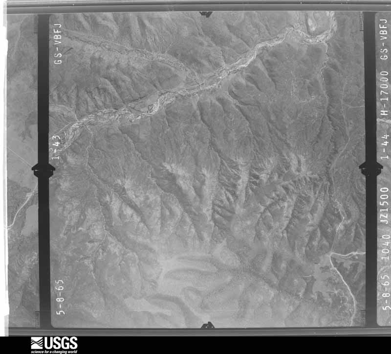
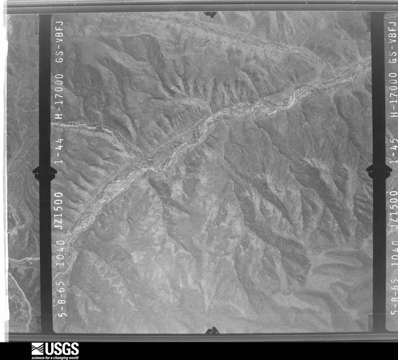
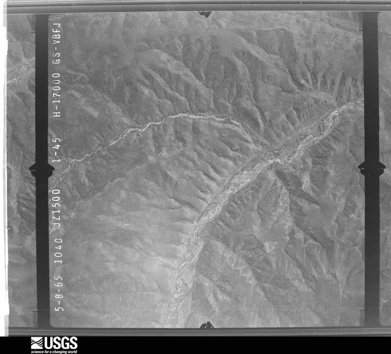
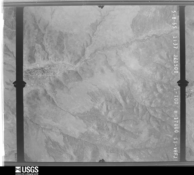
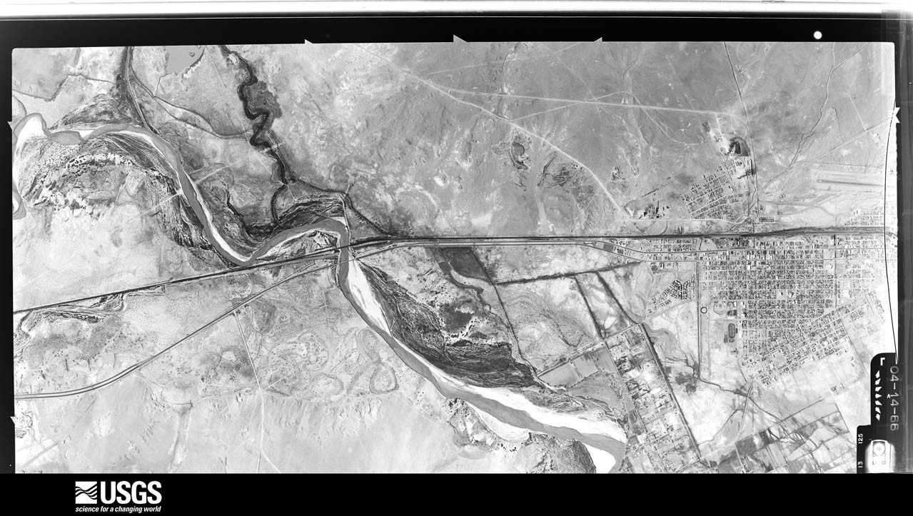
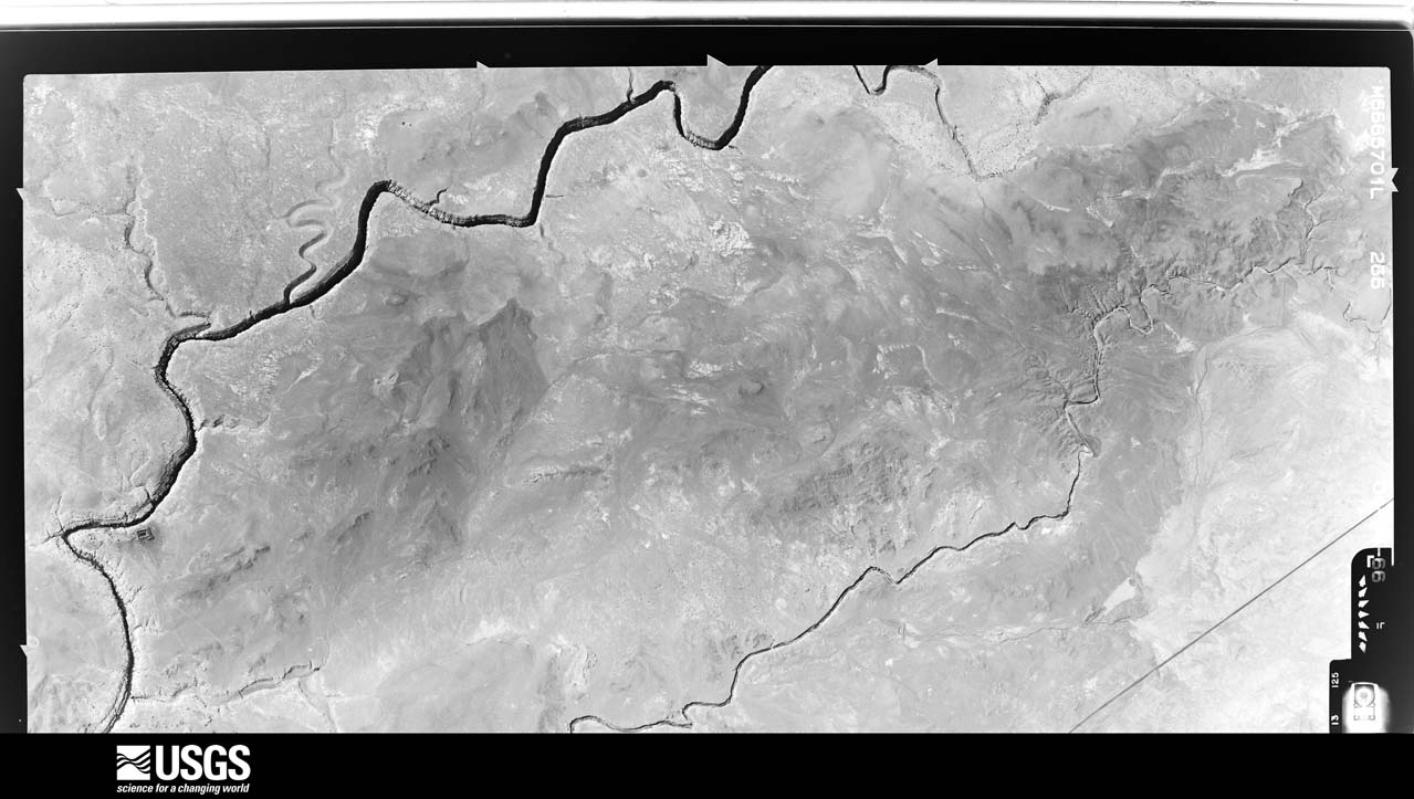
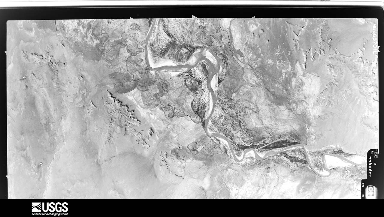
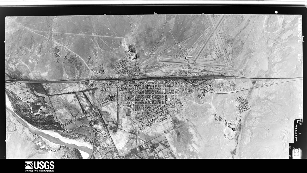
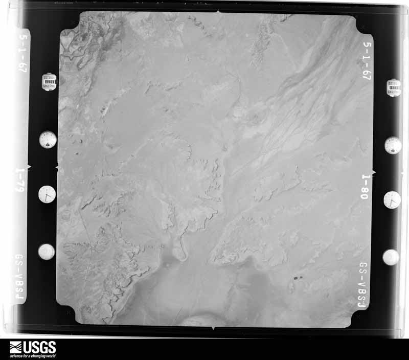
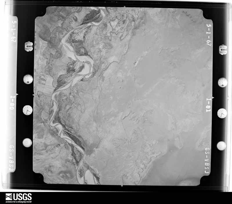
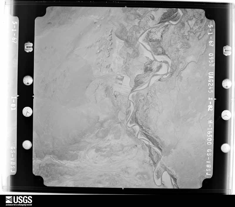
Flown by the U.S. Geological Survey between 1937 and 1989, the Aerial Photo Single Frames collection is the definitive mid-century view of the land: fields, roads and rivers as the camera saw them. The Survey holds 14,492 frames inside the rectangle that bounds this county; the 48 frames below were taken over the county itself, chosen across the decades of flights (at most four a year from that rectangle), so one flight cannot crowd out the rest. The full set is free to browse and download at EarthExplorer under the dataset Aerial Photo Single Frames.
The thermometers that kept this county's weather, and the gages that measured the flow of its streams, as the federal records hold them. The extremes below are measured values from those records, not estimates.
Who lived here in 1950, one enumeration district at a time, as the Census Bureau described each district. Each row opens its official National Archives result, with Population Schedules and ED Maps available there.
Every wildfire the federal occurrence database records inside this county: 6,648 of them, burning about 646,117 acres. 2,655 started naturally and 513 were recorded as arson. Each settlement page carries the fires within five miles of it.
| Reported cause | Fires |
|---|---|
| Natural | 2655 |
| Debris and open burning | 1093 |
| Missing data/not specified/undetermined | 993 |
| Recreation and ceremony | 530 |
| Arson/incendiarism | 513 |
| Misuse of fire by a minor | 329 |
| Equipment and vehicle use | 211 |
| Smoking | 175 |
| Fireworks | 69 |
| Other causes | 55 |
| Power generation/transmission/distribution | 21 |
| Railroad operations and maintenance | 3 |
| Firearms and explosives use | 1 |
The five largest, by the area the report gives. Two of them were set deliberately.
| Date | Cause | Size | Reported by | Name on the report |
|---|---|---|---|---|
| 18 June 2002 | Arson/incendiarism | 259,159 acres | Fort Apache Agency | RODEO |
| 20 June 2002 | Arson/incendiarism | 209,704 acres | Fort Apache Agency | CHEDISKI |
| 7 June 2017 | Natural | 48,443 acres | Coronado National Forest | FRYE |
| 15 June 2016 | Natural | 45,977 acres | Fort Apache Agency | CEDAR |
| 22 July 2000 | Natural | 8,690 acres | Fort Apache Agency | RIDGE |
| 6 June 2006 | Natural | 6,262 acres | Apache-Sitgreaves National Forest | POTATO |
| 27 July 2018 | Natural | 5,056 acres | Apache-Sitgreaves National Forest | HUB POINT |
| 4 June 2018 | Missing data/not specified/undetermined | 4,833 acres | Apache-Sitgreaves National Forest | 377 |
Every settlement page carries the fires within five miles of it - see the settlement index below.
The NOAA Storm Events Database holds 340 reports for this county, causing 3 deaths, 4 injuries and about $156,500 in recorded property damage. Each settlement page carries the reports that name it.
| Kind of event | Reports |
|---|---|
| Flash Flood | 113 |
| Hail | 58 |
| Heavy Rain | 53 |
| Thunderstorm Wind | 32 |
| Flood | 28 |
| Tornado | 23 |
| Funnel Cloud | 22 |
| Wildfire | 6 |
| Lightning | 5 |
The most serious of them, by death, then injury, then recorded damage. The accounts are quoted exactly as the forecast office filed them.
| When | Event | Place named | Harm | What the report says |
|---|---|---|---|---|
| September 2009 | Lightning | Clay Spgs | 1 killed, 3 hurt | Four motorcyclist stopped on the shoulder of a roadway because of the heavy rain. One of them hid in a near by culvert. While stopped, lightning hit the ground near the three cyclists knocking them on the ground. All three were air lifted to hospitals. The woman had badly burned feet. One man was very disoriented. The third man was unconscious. The current had entered his feet and exited his head in three places. He died two days later in the hospital. |
| March 2023 | Flood | Zeniff | 1 killed | Highway 377 between Heber and Holbrook was closed due to flooding at mile post 13 around 900 AM on March 22. Seymour's Crossing was flooded the night of March 22. A vehicle was swept downstream for about an hour. The occupants were able to reach the bank but, were separated. The woman's body was found the next day. |
| July 2013 | Lightning | Show Low | 1 killed | A 54 year old man was walking along the south edge of Scott Reservoir with two other people when he was stuck and killed by lightning. |
| August 2004 | Lightning | Show Low | 1 hurt | A woman was hit by lightning outside her home in Show Low. She was knocked unconscious for a short time and couldn't feel her legs when she regained consciousness. She was taken to the hospital for testing. She was able to return to work a few days later even though she still has some pain in her legs and back. |
| September 2007 | Lightning | Winslow | $50,000 | A thunderstorm in Winslow produced lightning that blew out a transformer and knocked out power. The storm also produced high winds, local street flooding, and small hail. |
| August 2022 | Flash Flood | Tees To | $30,000 | The Dilkon Chapter House received multiple reports of Tribal members calling for help because of washed out dirt roads. Indian routes 6 and 7 were flooded between Indian Wells and White Cone. |
| September 2011 | Flash Flood | Whiteriver | $20,000 | Law Enforcement Officials reported flash flooding and debris washing over neighborhood streets and Highway 73 adjacent to the Locust Fire Burn Area. |
| July 2011 | Flash Flood | Whiteriver | $20,000 | Heavy rain from a thunderstorm over the Locust Burn area produced significant debris flows and street flooding. Large rocks and sand were carried onto roadways and all drainages were full. |
| July 2007 | Lightning | Holbrook | $10,000 | Lightning knocked down power lines and caused power outages in Holbrook. |
| October 2005 | Tornado (F0) | Kykotsmovi | $10,000 | no account filed |
| April 1997 | Thunderstorm Wind | Dilkon | $6,000 | no account filed |
| August 1997 | Flash Flood | Dilkon | $5,000 | Flash flooding was reported along Indian Reservation Route 60 just northwest of Dilkon. Strong thunderstorms with heavy rain 5 miles northeast of Dilkon, produced heavy runoff in Dilkon. Several washes and drainage ditches flooded sending up to 5 foot deep water through the Navajo Tribal Utilities Administration office and maintenance yard and flooding route 60. About 100 feet of chain link fence was destroyed and several vehicles suffered water damage. Twelve 30 foot long telephone poles that were stored in the maintenance yard were carried across the yard and into the fence. |
| October 1962 | Tornado | not stated | $2,500 | no account filed |
| July 2015 | Thunderstorm Wind | Joseph City | $1,000 | A thunderstorm wind gust knocked down a medium sized tree on Main Street. |
| September 2009 | Heavy Rain | (Inw)Winslow Arpt | $1,000 | A trained spotter one mile north of Winslow reported heavy rain, flooded fields, and water entering the first floor of her house. |
| August 1997 | Flood | Greasewood | $1,000 | Steamboat Wash flooded over Indian Reservation Route 15 just west of Greasewood. |
| July 2025 | Flash Flood | Woodruff | - | A USGS stream gauge on the Little Colorado River near Woodruff reported a 6.3 foot rise in one hour from near nearby thunderstorms producing heavy rainfall. |
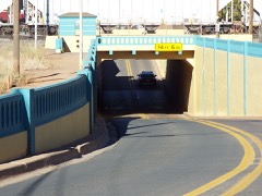
| July 2025 | Flash Flood | Winslow | - | ADOT reported State Route 87 closed due to flooding of an underpass at milepost 342 in Winslow. |
| July 2025 | Tornado (EF0) | Indian Wells | - | Received social media video of a distant vortex or landspout tornado. It formed along intersecting outflow boundaries. Inconclusive whether the rotating column extended to the base of the cloud. Exact duration unknown but likely very short lived. Damage unknown but likely none to minimal as it was out in open desert. |
| October 2025 | Flood | West Winslow | - | Navajo Nation Police reported Route 71 closed in Bird Springs due to flooding of the Little Colorado River. |
| October 2025 | Flood | Ganado Greasewood Ar | - | Navajo Nation Highway Department reported, via Facebook, Navajo Route 9846 west of Dilkon was closed due to a washout. Timing is estimated and location on map is estimated. |
| September 2025 | Flash Flood | Kayenta Arpt | - | Public reported, via Facebook, a video of flooded washes and a flooded road. Time and specific location were estimated. |
| September 2025 | Thunderstorm Wind | Woodruff | - | The ADOT site located on SR-77 at 14 mile hill (AZT12) measured a 60 mph thunderstorm wind gust. |
| July 2024 | Thunderstorm Wind | (Inw)Winslow Arpt | - | The Winslow Airport measured a peak wind gust of 73 MPH at 1207 AM as a result of|convective activity in the area. Wind gusts were above 58 MPH between 1130 PM to 1210 AM. |
| July 2024 | Hail | Snowflake | - | One inch diameter hail fell in Snowflake at around 100 PM. |
| July 2024 | Tornado (EF0) | Clay Spgs | - | Photo of landspout tornado was taken from 1 mile north of Snowflake. Submitter estimated the landspout to be about 10 miles to the southwest of their location. |
| June 2024 | Tornado (EF0) | Holbrook | - | A video was shared of a landspout just west of Holbrook. |
| June 2024 | Hail | Greasewood | - | One inch diameter hail was reported in Greasewood Springs. |
| June 2024 | Thunderstorm Wind | (Inw)Winslow Arpt | - | A wind gust of 63 MPH was reported at the Winslow Airport at 823 AM. |
| August 2024 | Flash Flood | Heber | - | The stream gauge on Chevelon Creek showed a rapid rise of around 4 feet between noon and 200 PM MST. The creek return to near normal levels at around 100 AM MST on August 13. |
| March 2023 | Flood | West Winslow | - | Rain and rain on snow caused the The Little Colorado River in Navajo County to reach flood stage in the evening of March 22. The river gauge at Holbrook showed a sharp rise around 800 PM. The river dropped back down at that location around 800 PM on March 24. The river gauge at Winslow showed a sharp rise around 1000 PM on March 23 and dropped back down around 1100 AM on March 24. The Bird Springs Chapter House (downstream of Winslow) poste a video that showed flooding over Navajo Route 71 (impassable) at 1000 AM on March 24. |
| August 2023 | Flood | Woodruff | - | A USGS stream gage on the Little Colorado River at Woodruff showed a rise of 6.9 feet starting at 120 PM on August 9. The flow returned to a normal level around 1000 PM on August 10. The flood started at Hoolbrook at 600 PM August and rose around 4.5 feet by 200 AM on August 10. This flood reached the Colorado River at 500 PM on August 10 and the river level rose 1.7 feet. |
| August 2023 | Heavy Rain | Woodruff | - | Widespread standing water was seen next to State Route 77. The highway was not flooded. |
| October 2022 | Funnel Cloud | Shonto | - | A funnel cloud was seen over Black Mesa from both Cow Springs and Tonalea. |
| July 2022 | Flash Flood | Woodruff | - | The Little Colorado River rose over 8 feet from 300 to 500 PM MST (Woodruff guage WDRA3). |
| July 2022 | Flash Flood | White Cone | - | Reports of flooding on the Hopi Nation included First Mesa, Highway 264, Polacca Wash, and other locations. |
| July 2022 | Flash Flood | Woodruff | - | Heavy rain caused flooding over State Route 77 and Feedmill Road. |
| September 2022 | Funnel Cloud | Joseph City | - | Pictures of a funnel cloud near Joseph City and Jack Rabbit were posted on social media. |
| September 2022 | Tornado (EF0) | Joseph City | - | A land-spout tornado was on the ground briefly south of the Little Colorado River. Dust from the ground was lofted into the air. |
| September 2022 | Flash Flood | Castle Butte | - | Flash flooding was reported about 10 miles north of Joseph City at the intersection of Blairs Spring Wash and North Porter Road. The dirt road was washed out by the flooding and a vehicle got stuck. |
| August 2022 | Heavy Rain | Winslow | - | Heavy rain in Winslow caused some street flooding. Water covered the intersection of North Pope Ave and East Maple Street. |
| August 2022 | Flash Flood | Pinon | - | Pictures on Social Media showed that the road from Polacca to Low Mountain was washed out and impassable. The wash likely flooded to Tolani Lake. |
| August 2022 | Flash Flood | Holbrook Arpt | - | Interstate 40 was closed for a time on the eastern side of Joseph City. |
| August 2022 | Flash Flood | Jadito | - | Flooding was reported about two miles west of Jeddito at the intersection of State Route 264 and BIA-9101. |
| August 2022 | Flash Flood | Shonto | - | Flash flooding over Highway 160 was reported (Social Media and Law Enforcement) between on Highway 160 between Tonalea, Shonto, and Tsegi. Highway 98 was flooded near Shanto Wash. |
| August 2022 | Flash Flood | Cedar Spgs | - | Water, sand, gravel, and rocks covered Navajo Route 60 in several locations near Castle Butte. |
| August 2022 | Flash Flood | Hotevila | - | A video on social media showed flooding outside of a hose near Hotevilla. Another video showed water up to the road on Route 2 just south of Kykotsmovi Village. Hopi Police reported that water covered Highway 264 for a distance of 100 yards near mile marker 369 at 725 PM MST. Arizona Department of Transportation had to send crews out to removed mud from the flood. |
| July 2022 | Flash Flood | Forest Lake | - | White Valley Road (N8031) was completely washed out. |
| July 2022 | Flash Flood | Pinon | - | Six feet of water was flowing through Burnt Corn Wash. |
| July 2022 | Heavy Rain | White Mtn Lake | - | Heavy rain fell just east of Snowflake with 1.22 inches reported. |
| July 2022 | Hail | Lakeside | - | A mix of dime to quarter sized hail was reported northwest of Pinetop-Lakeside. |
| July 2022 | Flash Flood | Pinon | - | A swift water rescue took place along Indian Route 4 by Burnt Corn Wash (about 5 miles east of Pion) where an elderly gentleman in his car was rescued. |
| July 2022 | Flash Flood | Greasewood | - | Flash flooding unearthed two main water pipelines (8 and 10 inch) which had to be shut down. This left around 75 people with out flowing water in Indian Wells, Dilkon, and Seba areas. |
| July 2022 | Flash Flood | Tees To | - | Tees Toh Wash was flowing about 2 feet deep about one mile west of Seba Delki. |
| October 2022 | Flood | Havre | - | The Little Colorado River began to rise in Holbrook (LHB) around 300 PM on October 3. This flow started at around 4.9 feet (34 CFS) increased, and peaked around 13.5 feet (3,700 CFS) at 900 AM on October 4. The river gauge near Winslow (LCW) started increasing at 800 AM October 3 (11.75 feet (53 CFS) and rose to 13.4 feet (700 CFS) by 900 AM. The wave from Holbrook arrived around 400 PM and rose to 17 feet/4,700 CFS by 200 AM on October 4. The river reached flood stage (19 feet/ 8,500 feet) by 100 PM. The river at Winslow crested at 19.7 feet/9,000 CFS by 700 PM. The flow crested at the confluence with the Colorado River (LCM) at 700 PM October 9 (4,400 CFS). |
| September 2022 | Hail | Holbrook | - | Quarter to golf ball sized hail (one inch to 1 3/4 inch diameter) was reported just north of Holbrook. |
| July 2021 | Heavy Rain | Snowflake | - | A rain gauge in the town of Snowflake measured 1.97 inches of rain within an hour. |
| July 2021 | Flash Flood | (Sow)Show Low Muni A | - | Highway US 60 was closed between Mile Post 384 and Vernon due to flash flooding. |
| July 2021 | Hail | Indian Pine | - | One and a half inch diameter hail fell just west of McNary. |
| July 2021 | Flash Flood | Heber | - | A 10-12 inch rise was reported on Hess Creek in Heber-Overgaard. The creek came out of its banks putting debris on the roadway and threatening one home. This prompted using sand bags to protect the home. |
The Survey's mineral resources record lists 217 workings inside this county. 15 still produce and 202 are closed or unrecorded. Each settlement page carries the workings within five miles of it.
| Commodity | Workings |
|---|---|
| Uranium | 47 |
| Sand and Gravel, Construction | 45 |
| Iron | 25 |
| Pumice | 17 |
| Gypsum-Anhydrite | 14 |
| Volcanic Materials | 11 |
| Uranium, Vanadium | 7 |
| Copper | 6 |
| Bentonite | 5 |
| Clay | 5 |
| Manganese | 4 |
| Uranium, Copper | 4 |
| Limestone, General | 4 |
| Helium | 4 |
The least common of them first, because a county's hundredth gravel pit says nothing its first ten did not.
| Where | Site | Commodity | Status | Recorded |
|---|---|---|---|---|
| Alfred Miles Channel No1 | Uranium, Calcium, Copper, Iron | Prospect | ||
| Bidahochi Butte Deposit | Pumice, Uranium | Occurrence | ||
| Cow Creek Hematite | Iron, Silica | Occurrence | ||
| Dinnehotso | Limestone, Dimension, Flagstone | Occurrence | ||
| H. Binoli Claim | Uranium, Copper, Vanadium | Occurrence | Replacement | |
| Hanson No1 | Gypsum-Anhydrite, Iron, Uranium | Unknown | ||
| Hopi Buttes Area | Calcium, Uranium | Occurrence | ||
| Horseshoe | Copper, Gold, Iron, Silver, Silica | Producer | ||
| Hunts Mesa | Uranium, Calcium | Past Producer | ||
| Mitchell Mesa | Molybdenum, Uranium, Stone, Crushed/Broken, Vanadium | Prospect | ||
| Mitchell Mesa Prospects | Vanadium, Uranium, Copper, Molybdenum | Occurrence | Replacement | |
| Mitten No2 | Uranium, Vanadium, Copper, Sulfur-Pyrite | Past Producer | ||
| Monument No. 1 Mine | Vanadium, Uranium, Copper, Molybdenum | Past Producer | Replacement | |
| Oak Creek Iron Deposit | Iron, Manganese, Phosphorus-Phosphates, Silica | Occurrence | ||
| Quarry | Stone | Unknown | ||
| Rainbow Forest | Semiprecious Gemstone | Producer | Petrified Wood | |
| Rim Quarry | Brick Clay, Stone, Crushed/Broken | Producer | Sedimentary | |
| Shonto Area | Dolomite | Occurrence | ||
| White Cone Peak | Pumice, Volcanic Materials | Occurrence | Tuff | |
| Apache | Iron, Phosphorus-Phosphates | Past Producer | 1895, 1966 | |
| Apache Coal | Coal, Iron | Past Producer | ||
| B. Maher Claim No. 2 | Copper, Uranium | Occurrence | Replacement | |
| Chediski | Iron, Phosphorus-Phosphates | Occurrence | 1895 | |
| Chediski Butte | Silica | Occurrence | Quartzite | |
| Fred Todechenee Claim | Copper, Uranium | Occurrence | Replacement | |
| Joe Hancock Silver | Iron, Coal | Unknown | ||
| Long Tom Cabin No. 1 Mine | Kaolin | Occurrence | Kaolin | |
| Mine | Kaolin | Unknown | ||
| Monument #1 | Uranium, Vanadium | Past Producer | ||
| North Fork Phoenix Wash | Fire Clay (Refractory) | Occurrence | ||
| North Fork of Phoenix Wash | Fire Clay (Refractory), Kaolin | Occurrence | Sedimentary | |
| Turkey Springs | Fire Clay (Refractory), Kaolin | Occurrence | Sedimentary | |
| Turkey Springs | Fire Clay (Refractory) | Occurrence | ||
| Alfred Miles Claim | Uranium, Copper | Occurrence | Replacement | |
| Ark La 20 Nma | Helium | Past Producer | ||
| B. Maher Claim No. 1 | Uranium, Copper | Occurrence | Replacement | |
| Buckskin Canyon Deposit | Manganese | Occurrence | Psilomelane, Pyrolusite, Wad | |
| Cecil Todechenee Claim | Uranium, Copper | Occurrence | Replacement | |
| Cedar Mesa Tank | Limestone, General | Occurrence | Sedimentary | |
| Cow Spring Occurrence | Manganese | Occurrence | ||
| Cow Springs Deposit | Manganese | Occurrence | ||
| East Fought Ridge | Limestone, General | Occurrence | Sedimentary | |
| Franklin,Aston & Fair C-1 Nma | Helium | Past Producer | ||
| Franklin,Aston & Fair C-1 Nma | Helium | Past Producer | ||
| Hunt's Mesa | Uranium, Copper | Occurrence | 1948 | |
| Limestone Occurrence | Limestone, General | Occurrence | Limestone | |
| Pinedale Coal | Helium | Past Producer | ||
| Sheeps Springs | Manganese | Unknown | ||
| West Fought Ridge | Limestone, General | Occurrence | Sedimentary | |
| Bentonitic Clay Deposit | Bentonite | Occurrence | ||
| Coyote Wash | Bentonite | Occurrence | Bentonite | |
| Coyote Wash | Bentonite | Occurrence | ||
| Skeleton Mesa | Bentonite | Occurrence | ||
| Unidentified Clay Occurrence | Clay | Occurrence | ||
| Unidentified Clay Occurrence | Clay | Occurrence | ||
| Unidentified Clay Occurrence | Clay | Occurrence | ||
| Unidentified Clay Occurrence | Clay | Occurrence | ||
| Unidentified Clay Occurrence. | Clay | Occurrence | ||
| Unnamed Bentonite Occurrence | Bentonite | Occurrence | Bentonite | |
| Brodie No. 5 Mine | Uranium, Copper | Past Producer | Carnotite | |
| Brodie No5 | Uranium, Copper | Prospect | ||
| Cresent Prospect | Copper | Occurrence | Replacement | |
| Harvey Black | Uranium, Copper | Unknown | ||
| Koley Black No1 | Uranium, Copper | Prospect | ||
| Boot Jack Mine | Uranium, Vanadium | Past Producer | Tyuyamunite | |
| Brigham Deposit | Uranium, Vanadium | Occurrence | Replacement | |
| Daylight Mine | Uranium, Vanadium | Past Producer | Carnotite, Tyuyamunite | |
| Moonlight | Uranium, Vanadium | Past Producer | ||
| Ruth Deposit | Uranium, Vanadium | Occurrence | Replacement | |
| Tract No. 11 Mine | Uranium, Vanadium | Past Producer | ||
| Bidahochi Butte Ash Deposit | Volcanic Materials | Occurrence | ||
| First Knoll Pit - Lakeside | Volcanic Materials | Past Producer | ||
| Indian Pine No. 1 Cinder Pit | Volcanic Materials | Past Producer | ||
| Indian Pine No. 2 Cinder Pit | Volcanic Materials | Past Producer | ||
| Indian Pine No. 3 Cinder Pit | Volcanic Materials | Past Producer | ||
| Indian Pine No. 4 Cinder Pit | Volcanic Materials | Past Producer | ||
| Indian Pine No. 6 Cinder Pit | Volcanic Materials | Past Producer | ||
| Owens Pit | Volcanic Materials | Past Producer | ||
| Second Knoll Pit - Eastside | Volcanic Materials | Past Producer | ||
| Silver Springs No. 1 Cinder Pit | Volcanic Materials | Past Producer | ||
| Silver Springs No. 2 Cinder Pit | Volcanic Materials | Past Producer | ||
| Acme Cement | Gypsum-Anhydrite | Past Producer | ||
| Acme Cement Plaster Company | Gypsum-Anhydrite | Producer | Sedimentary | |
| Fort Apache Gypsum | Gypsum-Anhydrite | Occurrence | Gypsum | |
| Ft. Apache Gypsum | Gypsum-Anhydrite | Occurrence | ||
| Gypsum Deposit | Gypsum-Anhydrite | Occurrence | ||
| Hop Canyon | Gypsum-Anhydrite | Occurrence | ||
| Hop Canyon Deposit | Gypsum-Anhydrite | Occurrence | Gypsum | |
| Navajo Gypsum and Fertilizer Company | Gypsum-Anhydrite | Producer | Sedimentary | |
| Snowflake Quarry | Gypsum-Anhydrite | Past Producer | Gypsum | |
| Snowflake Quarry | Gypsum-Anhydrite | Prospect | ||
| Unidentified Gypsum Occurrence | Gypsum-Anhydrite | Occurrence | Sedimentary | |
| Unnamed Occurrence | Gypsum-Anhydrite | Occurrence | Gypsum | |
| Woodruff | Gypsum-Anhydrite | Past Producer | Gypsum | |
| Woodruff Gypsum | Gypsum-Anhydrite | Prospect | ||
| Bird Springs Wash Area | Pumice | Occurrence | ||
| Cinder Pit | Pumice | Unknown | ||
| Cinder Pit | Pumice | Unknown | ||
| Cinder Pit | Pumice | Unknown | ||
| Cinder Pit | Pumice | Unknown | ||
| Cinder Pit | Pumice | Unknown | ||
| Cinder Pit | Pumice | Unknown | ||
| Cinder Pit | Pumice | Unknown | ||
| Cinder Pit | Pumice | Unknown | ||
| Cinder Pit | Pumice | Unknown | ||
| Cinder Pit | Pumice | Unknown | ||
| Cinder Pits | Pumice | Unknown | ||
| Owens Pit | Pumice | Past Producer | ||
| Owens Pit | Pumice | Unknown | ||
| Second Knoll Pit | Pumice | Producer | ||
| Second Knoll Pit-East Si | Pumice | Producer | ||
| Two Cinder Pits | Pumice | Unknown | ||
| Alsace-Lorraine No. 3 Claim | Iron | Occurrence | Sedimentary | |
| Alsace-Lorraine No. 4 Claim | Iron | Occurrence | Sedimentary | |
| Alsace-Lorraine No. 5 Claim | Iron | Occurrence | Sedimentary | |
| Alsace-Lorraine No. 6 Claim | Iron | Occurrence | Sedimentary | |
| Alsace-Lorraine No. 7 Claim | Iron | Occurrence | Sedimentary | |
| Apache Iron | Iron | Past Producer | 1966 | |
| Black Iron Claims | Iron | Occurrence | Sedimentary | |
| Chediski Hematite | Iron | Occurrence | ||
| Cheitski No. 2 Claim | Iron | Occurrence | Sedimentary | |
| Claim Seven | Iron | Occurrence | Sedimentary | |
| Cow Creek Deposit | Iron | Occurrence | Sedimentary | |
| Iron Mountain No. 6 Claim | Iron | Occurrence | Sedimentary | |
| Iron Mountain No. 7 Claim | Iron | Occurrence | Sedimentary | |
| Iron Mountain No. 8 Claim | Iron | Occurrence | Sedimentary | |
| Marley-Grasshopper | Iron | Occurrence | ||
| Marley-Grasshopper Deposit | Iron | Occurrence | Sedimentary | |
| Oak Creek Deposit | Iron | Occurrence | Sedimentary | |
| Rock Canyon Deposit | Iron | Occurrence | Sedimentary | |
| Rock Creek Iron Deposit | Iron | Occurrence | ||
| Split Rock | Iron | Occurrence | ||
| Split Rock Deposit | Iron | Occurrence | Sedimentary | |
| Black Rock Sand & Gravel Co. | Sand and Gravel, Construction | Producer | ||
| Buckskin Pit | Sand and Gravel, Construction | Unknown | ||
| Cottonwood Wash Pit | Sand and Gravel, Construction | Producer | ||
| Cottonwood Wash Sand & Gravel | Sand and Gravel, Construction | Producer | ||
| Dutton Pit | Sand and Gravel, Construction | Unknown | ||
| Gravel Pit | Sand and Gravel, Construction | Unknown | ||
| Gravel Pit | Sand and Gravel, Construction | Unknown | ||
| Gravel Pit | Sand and Gravel, Construction | Past Producer | Sedimentary | |
| Gravel Pit | Sand and Gravel, Construction | Unknown | ||
| Gravel Pit | Sand and Gravel, Construction | Unknown | ||
| Gravel Pit | Sand and Gravel, Construction | Unknown | ||
| Gravel Pit | Sand and Gravel, Construction | Unknown | ||
| Gravel Pit | Sand and Gravel, Construction | Unknown | ||
| Gravel Pit | Sand and Gravel, Construction | Unknown | ||
| Gravel Pit | Sand and Gravel, Construction | Unknown | ||
| Gravel Pit | Sand and Gravel, Construction | Unknown | ||
| Gravel Pit | Sand and Gravel, Construction | Unknown | ||
| Gravel Pit | Sand and Gravel, Construction | Unknown | ||
| Gravel Pit | Sand and Gravel, Construction | Unknown | ||
| Gravel Pit | Sand and Gravel, Construction | Unknown | ||
| Gravel Pit | Sand and Gravel, Construction | Unknown | ||
| Gravel Pit | Sand and Gravel, Construction | Unknown | ||
| Gravel Pit | Sand and Gravel, Construction | Unknown | ||
| Gravel Pit | Sand and Gravel, Construction | Unknown | ||
| Gravel Pit | Sand and Gravel, Construction | Unknown | ||
| Gravel Pit | Sand and Gravel, Construction | Unknown | ||
| Gravel Pit | Sand and Gravel, Construction | Unknown | ||
| Gravel Pit | Sand and Gravel, Construction | Unknown | ||
| Gravel Pit | Sand and Gravel, Construction | Unknown | ||
| Gravel Pit | Sand and Gravel, Construction | Unknown | ||
| Gravel Pit | Sand and Gravel, Construction | Unknown | ||
| Gravel Pit | Sand and Gravel, Construction | Unknown | ||
| Gravel Pit | Sand and Gravel, Construction | Unknown | ||
| Gravel Pit | Sand and Gravel, Construction | Unknown | ||
| Gravel Pits | Sand and Gravel, Construction | Unknown | ||
| Gravel Pits | Sand and Gravel, Construction | Unknown | ||
| Gravel Pits | Sand and Gravel, Construction | Unknown | ||
| Holbrook Basin | Sand and Gravel, Construction | Unknown | ||
| Linden Pit & Plant | Sand and Gravel, Construction | Producer | ||
| Pit No.1 | Sand and Gravel, Construction | Unknown | ||
| Reidhead Sand & Rock Pit | Sand and Gravel, Construction | Producer | ||
| Sand & Gravel Operation | Sand and Gravel, Construction | Producer | ||
| Sand & Gravel Operation | Sand and Gravel, Construction | Producer | ||
| Sand & Gravel Pit | Sand and Gravel, Construction | Producer | ||
| Two Gravel Pits | Sand and Gravel, Construction | Unknown | ||
| Anna Bernice Claims | Uranium | Occurrence | ||
| Anna Bernice Claims | Uranium | Occurrence | ||
| Bidahochi Butte Occurence | Uranium | Occurrence | ||
| Blue Lake | Uranium | Past Producer | ||
| Boot Jack | Uranium | Past Producer | ||
| Canyon Creek Uranium Deposit | Uranium | Occurrence | ||
| Cibecue Area | Uranium | Occurrence | ||
| Curry Jones Prospect | Uranium | Prospect | ||
| Fern No4 | Uranium | Past Producer | ||
| Hoskietso Claim | Uranium | Occurrence | ||
| Industrial Uranium | Uranium | Past Producer | ||
| Little John & Ruth | Uranium | Past Producer | ||
| M.Young Et Al | Uranium | Prospect | ||
| Morale Claim | Uranium | Past Producer | ||
| Navajo Reservation | Uranium | Occurrence | ||
| Noschoy | Uranium | Past Producer | ||
| O'Harco Ranch | Uranium | Unknown | ||
| O'Harco Robinson Prospect | Uranium | Unknown | ||
| P.Costen | Uranium | Unknown | ||
| Spurlock-Westler Ranch | Uranium | Occurrence | ||
| Starlight | Uranium | Past Producer | ||
| Sun No. 14 Claim | Uranium | Occurrence | ||
| Sun No14 Claim | Uranium | Occurrence | ||
| Tract #11 | Uranium | Past Producer | ||
| Tract No1 | Uranium | Prospect | ||
| Tract No2 | Uranium | Prospect | ||
| Uranium Deposit | Uranium | Occurrence | ||
| Uranium Deposit | Uranium | Occurrence | ||
| Uranium Deposit | Uranium | Occurrence | ||
| Uranium Deposit | Uranium | Occurrence | ||
| Uranium Deposit | Uranium | Occurrence | ||
| Uranium Deposit | Uranium | Occurrence | ||
| Uranium Deposit | Uranium | Occurrence | ||
| Uranium Deposit | Uranium | Occurrence | ||
| Uranium Deposit | Uranium | Unknown | ||
| Uranium Deposit | Uranium | Occurrence | ||
| Uranium Deposit | Uranium | Occurrence | ||
| Uranium Deposit | Uranium | Occurrence | ||
| Uranium Prospect | Uranium | Prospect |
Named settlements recorded in the Geographic Names Information System, each with the topographic sheets covering it. Villages, hamlets and abandoned places alike. Each is shown with the nearest named watercourse or landform and the survey quadrangle it falls on. The 2 places that were also surveyed for fire insurance come first, with the number of atlases and photographs held for them.
Winslow-Holbrook census division · 86025 · Holbrook quadrangle
18 sheets, 1886 to 1986
Fire insurance: 7 atlases
Winslow-Holbrook census division · 86047 · Winslow quadrangle
21 sheets, 1883 to 1986
Fire insurance: 8 atlases
Hopi census division · 86030 · Near Oraibi Butte · Hotevilla quadrangle
20 sheets, 1883 to 1991
Kayenta census division · 86033 · By Baby Rocks · Baby Rocks quadrangle
17 sheets, 1883 to 1988
Hopi census division · 86030 · Near Third Mesa · Hotevilla quadrangle
20 sheets, 1883 to 1991
Kayenta census division · 86054 · Near Fir Canyon · Bubbling Spring Canyon quadrangle
14 sheets, 1883 to 1984
Indian Wells census division · 86031 · On Bidahochi Butte · Indian Wells quadrangle
18 sheets, 1883 to 1982
Winslow-Holbrook census division · 86047 · Winslow quadrangle
21 sheets, 1883 to 1986
No longer a settlement
Indian Wells census division · 86047 · Near Chezhin Chotah Butte · French Butte quadrangle
18 sheets, 1883 to 1982
Indian Wells census division · 86047 · Near Lone Cottonwood Butte · Dilkon quadrangle
20 sheets, 1883 to 1982
Fort Apache census division · 85911 · On Day School Wash · Cibecue quadrangle
16 sheets, 1886 to 1981
Fort Apache census division · 85911 · Near Caddo Canyon · Spotted Mountain quadrangle
16 sheets, 1886 to 1981
Snowflake census division · 85923 · Near Rattlesnake Point · Clay Springs quadrangle
17 sheets, 1886 to 1998
Winslow-Holbrook census division · 86025 · Holbrook quadrangle
18 sheets, 1886 to 1986
Indian Wells census division · 86047 · On Dilkon Hill · Dilkon quadrangle
20 sheets, 1883 to 1982
Fort Apache census division · 85941 · Near Nash Canyon · Whiteriver quadrangle
11 sheets, 1954 to 1981
Hopi census division · 86042 · On Keams Canyon Wash · Polacca quadrangle
19 sheets, 1883 to 1991
Fort Apache census division · 85926 · On East Fork White River · Whiteriver quadrangle
11 sheets, 1954 to 1981
Winslow-Holbrook census division · 86029 · On Lithodendron Wash · Carrizo Butte quadrangle
18 sheets, 1886 to 1982
Fort Apache census division · 85911 · Oak Creek Ranch quadrangle
16 sheets, 1886 to 1981
Hopi census division · 86042 · On Keams Canyon Wash · Polacca quadrangle
19 sheets, 1883 to 1991
Winslow-Holbrook census division · 86025 · Agate House quadrangle
18 sheets, 1886 to 1982
Snowflake census division · 85928 · On Buckskin Wash · Heber quadrangle
18 sheets, 1886 to 1998
Winslow-Holbrook census division · 86047 · On Chevelon Creek · Hibbard quadrangle
14 sheets, 1886 to 1980
Hopi census division · 86030 · Near Third Mesa · Hotevilla quadrangle
20 sheets, 1883 to 1991
Hopi census division · 86030 · Near Third Mesa · Hotevilla quadrangle
20 sheets, 1883 to 1991
Hopi census division · 86030 · Near Oraibi Mesa · Hotevilla quadrangle
20 sheets, 1883 to 1991
Fort Apache census division · 85935 · Near Cooley Mountain · Indian Pine quadrangle
22 sheets, 1886 to 1998
Winslow-Holbrook census division · 86032 · On Joseph City Wash · Joseph City quadrangle
18 sheets, 1886 to 1986
Hopi census division · 86039 · Near Patangvostuyqa · Kykotsmovi quadrangle
20 sheets, 1883 to 1991
Hopi census division · 86039 · Near Patangvostuyqa · Shungopavi quadrangle
20 sheets, 1883 to 1991
Snowflake census division · 85929 · On Walnut Creek · Lakeside quadrangle
21 sheets, 1886 to 1998
Snowflake census division · 85929 · On Walnut Creek · Lakeside quadrangle
21 sheets, 1886 to 1998
Winslow-Holbrook census division · 86025 · Holbrook quadrangle
18 sheets, 1886 to 1986
Piñon census division · 86520 · Near Wind Whistle Canyon · Low Mountain quadrangle
19 sheets, 1883 to 1990
Winslow-Holbrook census division · 86032 · On Manila Wash · Apache Butte quadrangle
18 sheets, 1886 to 1986
Hopi census division · 86043 · Near Corn Rock · Polacca quadrangle
19 sheets, 1883 to 1991
Hopi census division · 86030 · Near Oraibi Butte · Hotevilla quadrangle
20 sheets, 1883 to 1991
Indian Wells census division · 86031 · In Na Ah Tee Canyon · Na Ah Tee Canyon quadrangle
18 sheets, 1883 to 1982
Hopi census division · 86043 · Near Second Mesa · Shungopavi quadrangle
20 sheets, 1883 to 1991
No longer a settlement
Hopi census division · 86039 · Near Patangvostuyqa · Hotevilla quadrangle
20 sheets, 1883 to 1991
Snowflake census division · 85933 · Near Oklahoma Flat · Heber quadrangle
18 sheets, 1886 to 1998
Snowflake census division · 85934 · Near Left Hand Canyon · Clay Springs quadrangle
17 sheets, 1886 to 1998
Snowflake census division · 85935 · On Thompson Creek · Lakeside quadrangle
21 sheets, 1886 to 1998
Snowflake census division · 85929 · Near Springer Mountain · Lakeside quadrangle
21 sheets, 1886 to 1998
Hopi census division · 86030 · Near Oraibi Butte · Hotevilla quadrangle
20 sheets, 1883 to 1991
Hopi census division · 86042 · On Keams Canyon Wash · Polacca quadrangle
19 sheets, 1883 to 1991
Snowflake census division · 85901 · Show Low North quadrangle
16 sheets, 1886 to 1998
Winslow-Holbrook census division · 86025 · Holbrook quadrangle
18 sheets, 1886 to 1986
Snowflake census division · 85901 · On Hog Wash · Show Low North quadrangle
16 sheets, 1886 to 1998
Snowflake census division · 85939 · Near Bull Hollow · Taylor quadrangle
15 sheets, 1886 to 1998
Indian Wells census division · 86047 · Near Bad Medicine Butte · Shonto Butte quadrangle
18 sheets, 1883 to 1982
Hopi census division · 86043 · Near Corn Rock · Shungopavi quadrangle
20 sheets, 1883 to 1991
Fort Apache census division · 85941 · In Sevenmile Canyon · Whiteriver quadrangle
11 sheets, 1954 to 1981
Kayenta census division · 86054 · On John Smith Wash · Shonto quadrangle
13 sheets, 1883 to 1984
Snowflake census division · 85901 · On Shumway Butte · Taylor quadrangle
15 sheets, 1886 to 1998
Hopi census division · 86043 · Near Second Mesa · Shungopavi quadrangle
20 sheets, 1883 to 1991
Hopi census division · 86042 · On Keams Canyon Wash · Polacca quadrangle
19 sheets, 1883 to 1991
Winslow-Holbrook census division · 86025 · Holbrook quadrangle
18 sheets, 1886 to 1986
Snowflake census division · 85901 · Near Cooley Knoll · Silver Springs quadrangle
19 sheets, 1886 to 1998
Hopi census division · 86043 · Near Corn Rock · Polacca quadrangle
19 sheets, 1883 to 1991
Piñon census division · 86520 · Near Low Mountain · Low Mountain quadrangle
19 sheets, 1883 to 1990
Snowflake census division · 85937 · On Cottonwood Wash · Snowflake quadrangle
15 sheets, 1886 to 1980
Snowflake census division · 85935 · Near Morgan Mountain · Lakeside quadrangle
21 sheets, 1886 to 1998
Winslow-Holbrook census division · 86047 · Winslow quadrangle
21 sheets, 1883 to 1986
No longer a settlement
Winslow-Holbrook census division · 86047 · On Cottonwood Wash · Winslow quadrangle
21 sheets, 1883 to 1986
No longer a settlement
Indian Wells census division · 86047 · On Lukai Wash · Shonto Butte quadrangle
18 sheets, 1883 to 1982
Kayenta census division · 86033 · In Tsegi Canyon · Marsh Pass quadrangle
13 sheets, 1883 to 1984
Indian Wells census division · 86505 · Greasewood Spring quadrangle
15 sheets, 1886 to 1982
Winslow-Holbrook census division · 86025 · Carrizo Butte quadrangle
18 sheets, 1886 to 1982
Hopi census division · 86042 · On Keams Canyon Wash · Polacca quadrangle
19 sheets, 1883 to 1991
Snowflake census division · 85901 · On Rocky Arroyo · Silver Springs quadrangle
19 sheets, 1886 to 1998
Snowflake census division · 85901 · On Rocky Arroyo · Silver Springs quadrangle
19 sheets, 1886 to 1998
Fort Apache census division · 85941 · Near Big A Mountain · Whiteriver quadrangle
11 sheets, 1954 to 1981
Snowflake census division · 86025 · On Woodruff Butte · Woodruff quadrangle
17 sheets, 1886 to 1986
The vanished settlements of Navajo County: the places named above that are no longer on the map.
21 topographic sheets and 8 fire insurance atlases, 1890 to 1948
18 topographic sheets and 7 fire insurance atlases, 1890 to 1943
The complete index, with nothing left out. Each of these is a separate record with its own page: a federal survey report, or the case file that argued a property on to the National Register. Both are public domain and reproduced word for word.
The vanished settlements of Navajo County, the places these records name that are no longer on the map.