 Block
Yuma, Arizona
27 topographic sheets cover this place, the earliest surveyed in 1903 and the latest in 1994. It stands in the Yuma census division. It lies in ZIP code area 85364. It lies near Prison Hill. The Survey maps it on the Yuma East quadrangle. 95,548 people lived here at the 2020 count. It stands 141 feet above sea level.
Research this city
On record in Yuma
Buildings and businesses the archive holds for this place. Each opens its own page, with the source record it came from.
On the National Register 12 of 52 shown
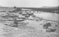 Superintendent's ResidenceNational Historic Landmark · listed 1966
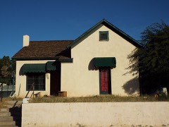 Balsz Houselisted 1982
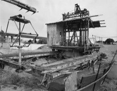 Blaisdell Slow Sand Filter Washing Machinelisted 1979
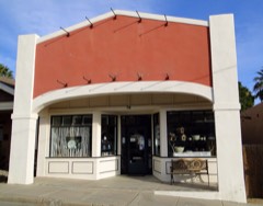 Brinley Avenue Historic Districtlisted 1982
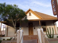 Brown Houselisted 1982
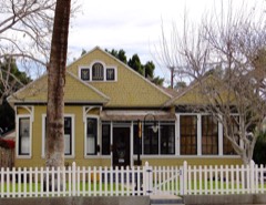 Brownstetter Houselisted 1982
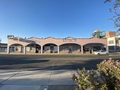 Cactus Press-Plaza Paint Buildinglisted 1987
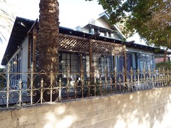 Caruthers Houselisted 1982
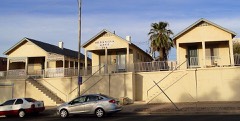 Dressing Apartmentslisted 1982
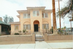 Frank Ewing Houselisted 1982
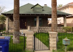 Ruth Ewing Houselisted 1982
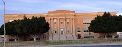 Fourth Avenue Junior High Schoollisted 1982
Surveyed buildings and structures 6 records
- Laguna Diversion Dam, Laguna Dam Road, Yumafederal building survey, 1 photograph
- Southern Pacific Railroad Water Settling Reservoir, Yuma Crossing, south bank of Colorado River at foot of Madison Avenue, Yumafederal building survey, 6 photographs
- Yuma Crossing, Riverfront Area, between Prison Hill & Fourth Avenue, Yumafederal building survey, 2 photographs
- Yuma Main Street Water Treatment Plant, Blaisdell Slow Sand Filter Washing Machine, Jones Street at foot of Main Street, Yumafederal building survey, 6 photographs
- Yuma Main Street Water Treatment Plant, Jones Street at foot of Main Street, Yumafederal building survey, 20 photographs
- Yuma Proving Ground, Yumafederal building survey, 1 photograph
Population over time
2 figuresYuma grew from 93,064 to 95,548 between 2010 and 2020. These are the recorded population figures Wikidata holds for this place, reached through the Geographic Names Information System number this page is keyed on rather than by name, so they belong to this place and not to another of the same name. Most are census counts, but not all are: an early figure may be a founding or settlement estimate, and an estimate published within five years of a census is left out. The change column is computed, and is left blank where more than 20 years separate a figure from the one before it, because a gap that long is not a change between two counts.
| Year | People | Change |
|---|---|---|
| 2010 | 93,064 | |
| 2020 | 95,548 | +2,484 (+3%) |
Topographic sheets covering this place
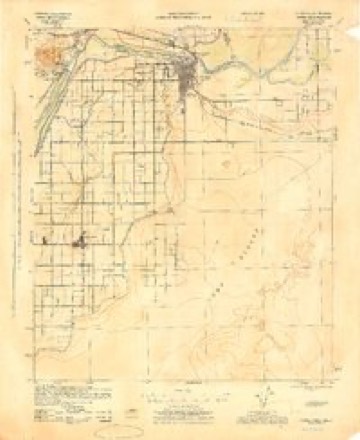
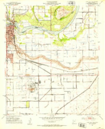
14 surveys from 27 printed sheetsMatched by testing this settlement's coordinate against the published boundary of every sheet in the United States Geological Survey's historical collection. Each opens the scanned sheet at the Survey.
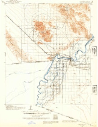
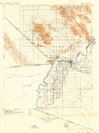
- 1903 USGS Yuma quadrangle1:125000, 2 printings
- 1905 USGS Yuma quadrangle1:125000, 5 printings
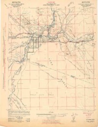
- 1940 USGS Yuma quadrangle1:62500, 3 printings
- 1942 USGS Yuma quadrangle1:250000
- 1945 USGS Yuma quadrangle1:62500
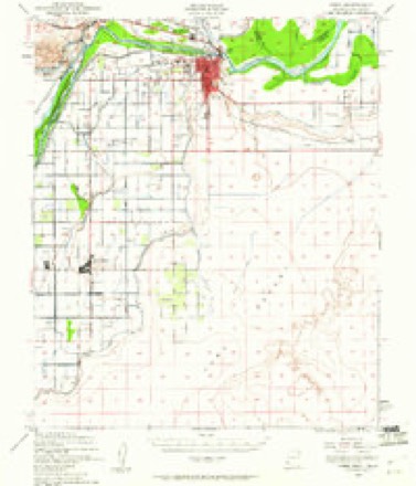
- 1952 USGS Yuma East quadrangle1:24000
- 1954 USGS El Centro quadrangle1:250000
- 1955 USGS El Centro quadrangle1:250000
- 1958 USGS El Centro quadrangle1:250000, 4 printings
- 1961 USGS El Centro quadrangle1:250000
- 1964 USGS El Centro quadrangle1:250000
- 1965 USGS Yuma East quadrangle1:24000, 3 printings
- 1993 USGS Yuma quadrangle1:100000, 2 printings
- 1994 USGS Yuma East quadrangle1:24000
Photographs
8 of 46 photographs shown, 1937 to 2018Taken for the Office of War Information and the Farm Security Administration, who photographed the country between 1935 and 1944. Works of United States government photographers, with no known restriction on use. Each opens its catalogue record.
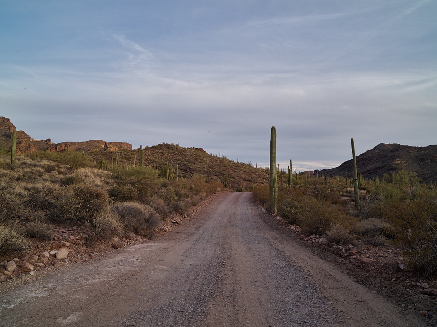
Highsmith, Carol M, 2018. Library of Congress
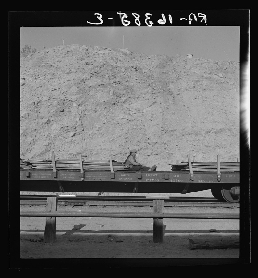
Lange, Dorothea, photographer, 1937. Library of Congress
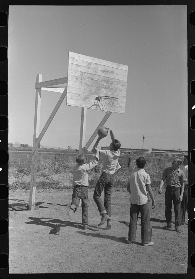
Lee, Russell, 1942. Library of Congress
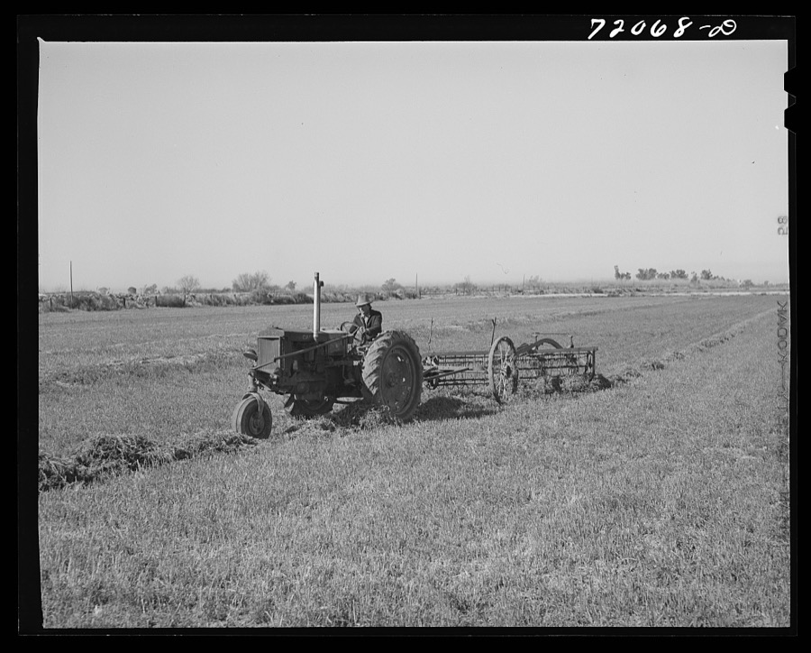
Lee, Russell, 1942. Library of Congress
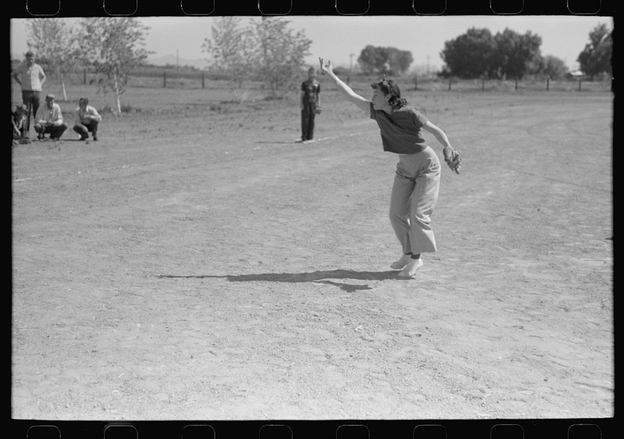
Lee, Russell, 1942. Library of Congress
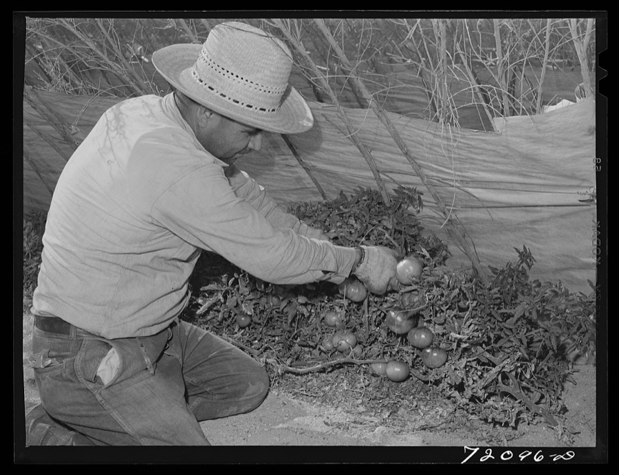
Lee, Russell, 1942. Library of Congress
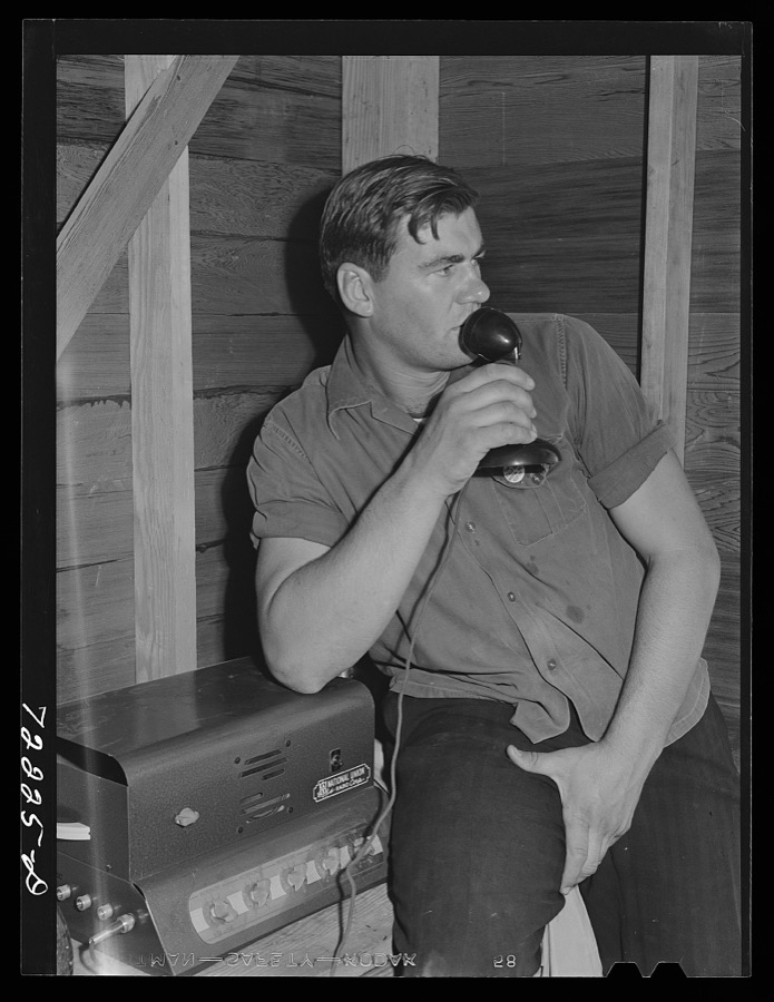
Lee, Russell, 1942. Library of Congress
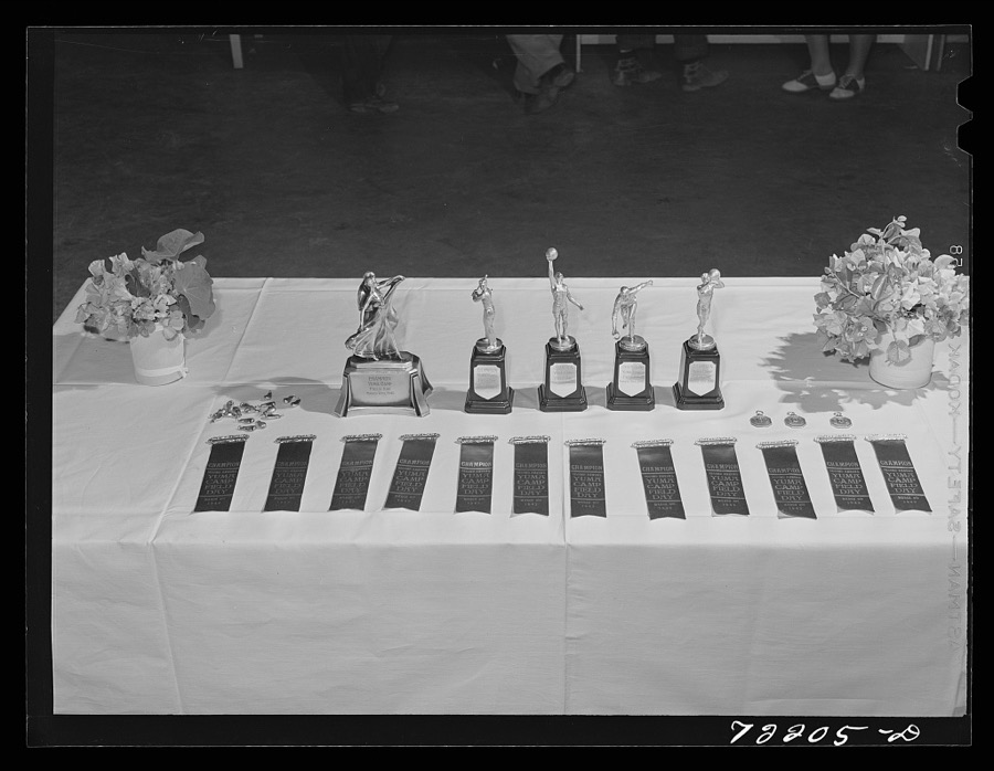
Lee, Russell, 1942. Library of Congress
Every photograph of Yuma County
Fires near this place
658 since 1992Regional context, not property-specific evidence. The federal wildfire occurrence database lists 658 fires within 5 miles of Yuma between 1992 and 2020, burning about 2,434 acres in total. 8 started naturally. 62 were recorded as arson. Distance is straight-line from the map coordinates, so a fire counted here may appear on a neighbouring settlement's page as well.
| Reported cause | Fires |
|---|---|
| Missing data/not specified/undetermined | 361 |
| Debris and open burning | 90 |
| Arson/incendiarism | 62 |
| Recreation and ceremony | 46 |
| Misuse of fire by a minor | 37 |
| Equipment and vehicle use | 18 |
| Fireworks | 17 |
| Natural | 8 |
| Smoking | 6 |
| Other causes | 6 |
| Railroad operations and maintenance | 5 |
| Power generation/transmission/distribution | 2 |
The most recent of them, most recent first, with the day each was reported and the service that recorded it.
| Date | Cause | Size | Reported by | Name on the report |
|---|---|---|---|---|
| 9 September 1998 | Missing data/not specified/undetermined | under an acre | Fort Yuma Agency | BRIDGE2 |
| 9 September 1996 | Missing data/not specified/undetermined | under an acre | Fort Yuma Agency | FIRESTONE |
| 8 September 2001 | Missing data/not specified/undetermined | under an acre | Fort Yuma Agency | ANDRADE |
| 8 September 1998 | Missing data/not specified/undetermined | under an acre | Fort Yuma Agency | 3RD AVE |
| 7 September 2001 | Debris and open burning | 1.0 acres | Fort Yuma Agency | CEMETARY |
| 7 September 1998 | Missing data/not specified/undetermined | under an acre | Fort Yuma Agency | W/BRIDGE2 |
| 6 September 2019 | Missing data/not specified/undetermined | under an acre | Yuma Fire Department | NOT NAMED |
| 6 September 2018 | Arson/incendiarism | under an acre | Yuma Fire Department | 1810678 |
Settlements close enough to share some of these fires:
Mines and quarries near this place
10 of 28 shownRegional context, not property-specific evidence. The federal mineral resources record lists 28 workings within 5 miles of Yuma: 23 unknowns, 2 producers, 2 occurrences, 1 past producer. 2 still produce. What was taken out: Geothermal, Sand and Gravel, Construction, Gold, Silver. Distance is straight-line from the map coordinates, so a quarry counted here may appear on a neighbouring settlement's page as well.
| Where | Site | Commodity | Status | Recorded |
|---|---|---|---|---|
| Jude Mine | Gold, Silver, Iron | Past Producer | Vein | |
| Jude Mine Group | Gold, Iron, Silver | Occurrence | ||
| Valley Sand and Gravel Dep | Sand and Gravel, Construction | Occurrence | ||
| Yuma County Plant & Pit #1 | Sand and Gravel, Construction | Producer | ||
| Yuma Plant & Pit #11 | Sand and Gravel, Construction | Producer | ||
| Unknown | Geothermal | Unknown | ||
| Unknown | Geothermal | Unknown | ||
| Unknown | Geothermal | Unknown | ||
| Unknown | Geothermal | Unknown | ||
| Unknown | Geothermal | Unknown |
Storms near this place
47 since 1993Regional context, not property-specific evidence. The National Weather Service names Yuma in 47 storm reports between 1993 and 2025: 29 thunderstorm wind, 5 flood, 4 flash flood, 3 hail. The reports record 1 injury. Each account below is quoted exactly as the forecast office filed it, from the NOAA Storm Events Database, and each date opens the federal record of that event.
| When | Event | Place named | Harm | What the report says |
|---|---|---|---|---|
| October 2000 | Lightning | Yuma | 1 hurt | A Yuma firefighter was struck by lightning as he was fighting a lightning-caused fire in a palm tree. The tree was struck by a bolt and the current ran down the water stream and shocked him. He was thrown back about 10 feet into a wall by the bolt. |
| August 2010 | Thunderstorm Wind | Yuma | $5,000,000 | As reported in the Yuma Sun, the Garden Landscaping Company at 830 South Orange Avenue was mostly destroyed by thunderstorm microburst winds, estimated to be near 75 knots. Damage was also reported at the O.G. RV Resort. The Yuma High School and Kofa High School sustained considerable wind and water damage. |
| September 1993 | Thunderstorm Wind | Yuma | $5,000,000 | The second severe thunderstorm to hit the Yuma area over the Labor Day weekend affected the southeast and east sections. The strong microburst winds destroyed at least three metal warehouses and blew down power lines. As many as 10 recreational vehicles were damaged at an RV resort. Damage to the warehouses was estimated to be at least $1 million. |
| August 2010 | Thunderstorm Wind | Yuma | $1,000,000 | Several schools in the Yuma area, including Yuma High School, were damaged due to strong thunderstorm winds, and were closed on Friday August 27th. The old gym at Yuma High suffered roof damage, and shingles were blown off the roof of Centennial Middle School. Pecan Grove Elementary and Carver Elementary schools also reported wind damage. |
| August 2010 | Thunderstorm Wind | Yuma | $500,000 | About 30 power poles were snapped by strong microburst winds, estimated in excess of 60 kt. APS reported up to 16,660 customers were without power at the height of the storm. Many of the poles were downed in the area bounded by Avenue B to the west, 4th Avenue to the east, the Colorado River to the north, and 12th street to the south. |
| September 2007 | Hail | Yuma | $50,000 | Large hail was reported by the public in Yuma. |
| July 2005 | Thunderstorm Wind | Yuma | $50,000 | About 34 power poles down near County Road 13 leaving 1,000 customers without power. |
| August 2005 | Thunderstorm Wind | Yuma | $50,000 | Trees and utility power poles were blown down by storm winds. Arizona Public Service Company reported 30 power poles were blown down. |
| September 1993 | Thunderstorm Wind | Yuma | $50,000 | Thunderstorm winds ripped a roof off of a mobile home, downed power poles, and blew down a few trees. Power was out to some customers for up to 29 hours. |
| July 1999 | Thunderstorm Wind | Yuma | $30,000 | Unknown number of power poles and lines down. |
| September 2009 | Lightning | Yuma | $20,000 | Lightning struck a home near highway 95 and 5E, resulting in a fire. A haystack caught fire at Avenue 30E and County 8th Street after it was struck by lightning. |
| April 2005 | Thunderstorm Wind | Yuma | $20,000 | Winds associated with thunderstorms damaged roofs and carports. Power was knocked out in parts of the Yuma Foothills area. Small hail was also reported with these thunderstorms. |
| September 2002 | Thunderstorm Wind | Yuma | $15,000 | Winds damaged a trailer in Yuma, and blew down a transmitter tower at radio station KAWC. Dense blowing dust also accompanied the storm with visibilities less than a quarter mile. |
| July 1999 | Flood | Yuma | $10,000 | Streets and roads flooded with rains of an inch per hour. |
| August 2022 | Thunderstorm Wind | Yuma | $6,000 | Power poles were reported down near 12th Street and Pacific Avenue. Timing estimated from radar. No injuries were reported. |
| July 2005 | Thunderstorm Wind | Yuma | $5,000 | Power poles down at Ave 45E and County 5th. |
| August 2005 | Thunderstorm Wind | Yuma | $5,000 | Utility power lines downed by strong winds. |
| August 2000 | Thunderstorm Wind | Yuma | $5,000 | An isolated thunderstorm developed near the airport, and the official peak wind speed was measured at 57 mph. |
| September 2025 | Thunderstorm Wind | Yuma | $2,000 | Downed powerlines along Avenue A near 3rd St and 5th St in Yuma. Wind gusts were estimated at around 65 mph. Timing estimated from radar. No injuries reported. |
| August 2022 | Thunderstorm Wind | Yuma | $2,000 | Social media pictures showed some tree damage in the form of broken branches and a damaged shed near the vicinity of 1st street and 20th Avenue in Yuma. Timing estimated from radar. Winds were estimated at around 45 mph. No injuries were reported. |
| September 2025 | Thunderstorm Wind | Yuma | $1,000 | A couple of large trees uprooted at the Yuma Palms Regional Center Shopping Center in Yuma. Wind gusts were estimated upwards of 65 mph. No injuries reported. |
| February 2010 | Heavy Rain | Yuma | - | Report of .75 inch rain in about an hour. |
| August 2005 | Heavy Rain | Yuma | - | Very heavy rainfall left a part of Yuma Foothills streets flooded. |
| August 2004 | Thunderstorm Wind | Yuma | - | Severe thunderstorm wind damage, 8 inch tree limbs broken off tree, portions of a roof heavily damaged on south side of the city of Yuma. |
| August 2003 | Thunderstorm Wind | Yuma | - | Large 40 foot tree blown down. |
| August 2003 | Flash Flood | Yuma | - | Several roads closed in the Foothills area after very heavy rains. One spotter received 1.21 inches in about an hour. |
| February 2001 | Flood | Yuma | - | Thunderstorms moved through the city of Yuma with small hail, high winds and locally heavy rain.Roads and streets in some areas had to be closed due to the standing or running water. One spotter reported major street flooding with water up to 8 inches deep in the Yuma Foothills area. |
| March 2001 | Flood | Yuma | - | Heavy rainfall throughout much of southwest Arizona left streets and roads flooded and washes running. A weather spotter at Yuma Foothills recorded over an inch of rain, bringing his year-to-date total to just over 3 inches. The average annual rainfall in Yuma is 2.7 inches. |
| August 2001 | Thunderstorm Wind | Yuma | - | Severe thunderstorm wind gusts blew down electric power poles. |
| August 2001 | Flash Flood | Yuma | - | Strong thunderstorms with very heavy rainfall caused flash flooding of streets and low lying areas. This event began to the northwest, in Imperial County, California, earlier in the evening. |
| November 2001 | Thunderstorm Wind | Yuma | - | A vigorous low pressure system along the California coast helped trigger thunderstorms with strong and gusty wind. Widespread power outages were reported after approximately 20 main power poles were blown down. As many as 6,900 APS customers were left without power. |
| February 1999 | Funnel Cloud | Yuma | - | Short-lived funnel cloud observed by Yuma Foothills spotter. Wall cloud and thunder also reported at this time as cold front moved through the area. |
| November 1998 | Flood | Yuma | - | Locally heavy rain resulted in street flooding in parts of the city. Barricades were used in some intersections. One of the heaviest amounts was .38 in just 25 minutes. |
| July 1997 | Thunderstorm Wind | Yuma | - | Reports of several downed power poles. |
| September 1997 | Thunderstorm Wind | Yuma | - | Spotters and law enforcement reported power lines and trees down. |
| September 1997 | Flash Flood | Yuma | - | Heavy rain, associated with Tropical Storm Nora, produced widespread street flooding in Yuma. Between 1.5 and 3.0 inches of rain fell from around 10 am until around 2 pm. |
| September 1997 | Thunderstorm Wind | Yuma | - | Trees blown over in the Yuma foothills. Lattices were blown down and awnings were damaged. Wind speed was estimated. |
| February 2005 | Hail | Yuma | - | no account filed |
| February 2005 | Funnel Cloud | Yuma | - | no account filed |
| August 2005 | Thunderstorm Wind | Yuma | - | no account filed |
| July 1999 | Flood | Yuma | - | no account filed |
| July 1997 | Thunderstorm Wind | Yuma | - | no account filed |
| July 1997 | Hail | Yuma | - | no account filed |
| September 1996 | Thunderstorm Wind | Yuma | - | no account filed |
| September 1996 | Flash Flood | Yuma | - | no account filed |
| August 1996 | Thunderstorm Wind | Yuma | - | no account filed |
| August 1996 | Thunderstorm Wind | Yuma | - | no account filed |
Newspapers printed here
9,637 digitised pages3 papers published in this town, digitised by the Library of Congress and free to read: 2,319 issues, 9,637 pages. Every page is searchable, so a name or a street can be looked for directly in what the town printed about itself at the time.
| Newspaper | Published |
|---|---|
| Arizona Sentinel and Yuma Weekly Examiner | 1911 to 1915 |
| Arizona Sentinel Yuma Southwest | 1915 to 1916 |
| Arizona Sentinel | 1916 to 1918 |
What the paper printed
15,097 wordsFront pages of the local paper, read from the Library of Congress scans: 11 issues spread across its run from 1911 to 1918, 15,097 words in total. Each is reproduced on its own page, exactly as the recogniser returned it.
These pages read less well than anything else here, and the number is worth stating: about three words in four come through cleanly, against nine in ten for the building records. An 1896 broadsheet sets eight-point type in seven columns on microfilm, which is the hardest thing in this archive to read by machine. We tested our own recognisers against the Library's and they were not better, so the Library's text is what appears, with the wholly unreadable columns removed. Read it as a guide to what the paper covered, and follow the link to the scan before quoting anything.
| Issue | Paper | Length |
|---|---|---|
| 1911-09-28 | Arizona Sentinel and Yuma Weekly Examiner | 2,050 words |
| 1915-06-03 | Arizona Sentinel and Yuma Weekly Examiner | 1,430 words |
| 1915-07-01 | Arizona Sentinel Yuma Southwest | 1,411 words |
| 1915-08-19 | Arizona Sentinel Yuma Southwest | 660 words |
| 1915-09-30 | Arizona Sentinel Yuma Southwest | 1,541 words |
| 1915-11-18 | Arizona Sentinel Yuma Southwest | 2,590 words |
| 1916-06-22 | Arizona Sentinel Yuma Southwest | 898 words |
| 1916-07-13 | Arizona Sentinel | 700 words |
| 1916-10-12 | Arizona Sentinel | 1,518 words |
| 1916-11-23 | Arizona Sentinel | 622 words |
| 1918-03-07 | Arizona Sentinel | 1,677 words |
Nearest settlements
The eight closest, with where each one stands in the county. Distances are straight-line, computed from the Geographic Names Information System coordinates.
| Map | Place | Distance | Sheets |
|---|---|---|---|
| San Dionysio (historical) | 3.5 miles | 28 | |
| Steam | 4.1 miles | 28 | |
| Araby | 6.4 miles | 27 | |
| Yuma Indian Homesteads | 8.0 miles | 28 | |
| Kool Corner | 8.4 miles | 23 | |
| Fortuna | 9.4 miles | 20 | |
| Laguna | 9.8 miles | 23 | |
| Somerton | 10.0 miles | 24 |
Elsewhere
Matched on this settlement's Geographic Names Information System number rather than its name, so it cannot be a different place of the same name in another state.
| Wikipedia article on Yuma | An encyclopaedic summary. Its text is share-alike, so it is linked here rather than copied. |
| Wikidata item Q79820 | The structured record the population and elevation above come from. Public domain (CC0). |
Provenance
This settlement is recorded in the Geographic Names Information System as feature 14111. The sheet list is computed by point-in-boundary test against the United States Geological Survey's historical topographic inventory. Both are works of the United States government and carry no copyright under 17 U.S.C. 105.
Wildfire. Short, Karen C. 2022. Spatial wildfire occurrence data for the United States, 1992-2020 [FPA_FOD_20221014]. 6th Edition. Fort Collins, CO: Forest Service Research Data Archive. https://doi.org/10.2737/RDS-2013-0009.6 Collected with United States Government funding and usable without additional permissions or fees.
Mines and quarries. USGS Mineral Resources Data System (MRDS) https://mrdata.usgs.gov/mrds/ A work of the United States government, no copyright under 17 U.S.C. 105.
Storms. NOAA National Centers for Environmental Information, Storm Events Database https://www.ncei.noaa.gov/stormevents/ A work of the United States government, no copyright under 17 U.S.C. 105. Narratives are quoted verbatim from the National Weather Service report and are not edited or summarised.