 Block
From the record
58 National Register listings published here, 1 of them a National Historic Landmark.
Sources: the National Register database, National Park Service
182 topographic sheets and 12 fire insurance atlases across 3 places.
58 National Register listings published here, 1 of them a National Historic Landmark.
Sources: the National Register database, National Park Service
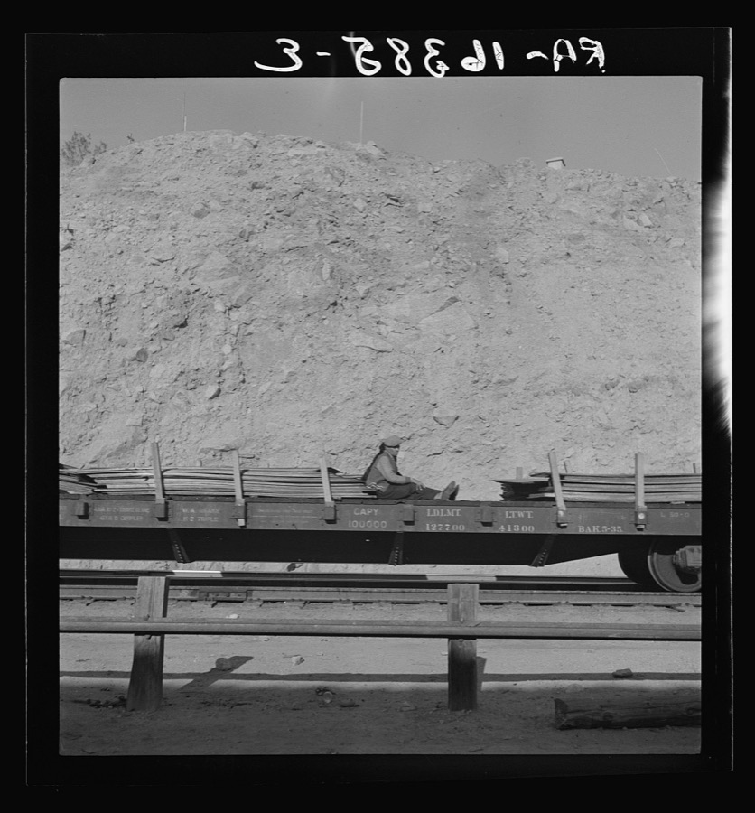
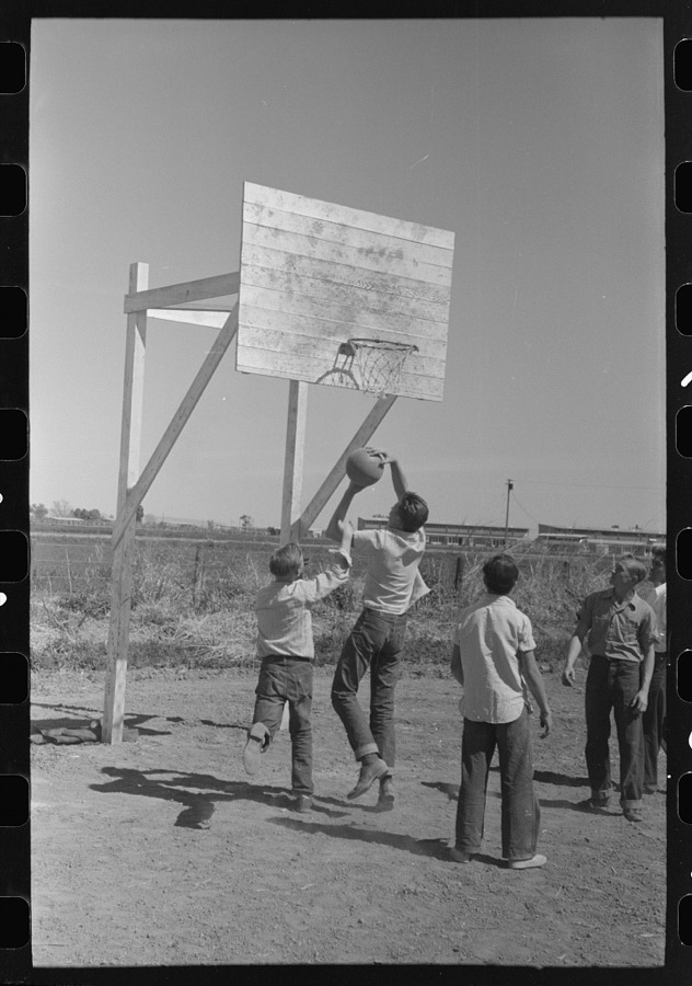
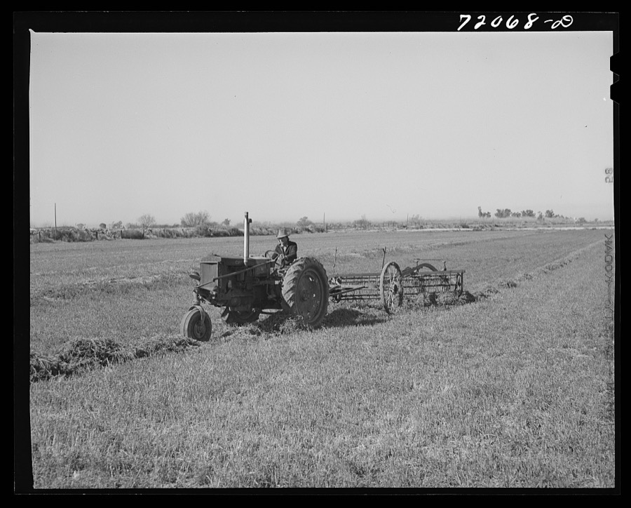
Taken for the Office of War Information and the Farm Security Administration, who photographed the country between 1935 and 1944. Works of United States government photographers, with no known restriction on use. Each opens its catalogue record.
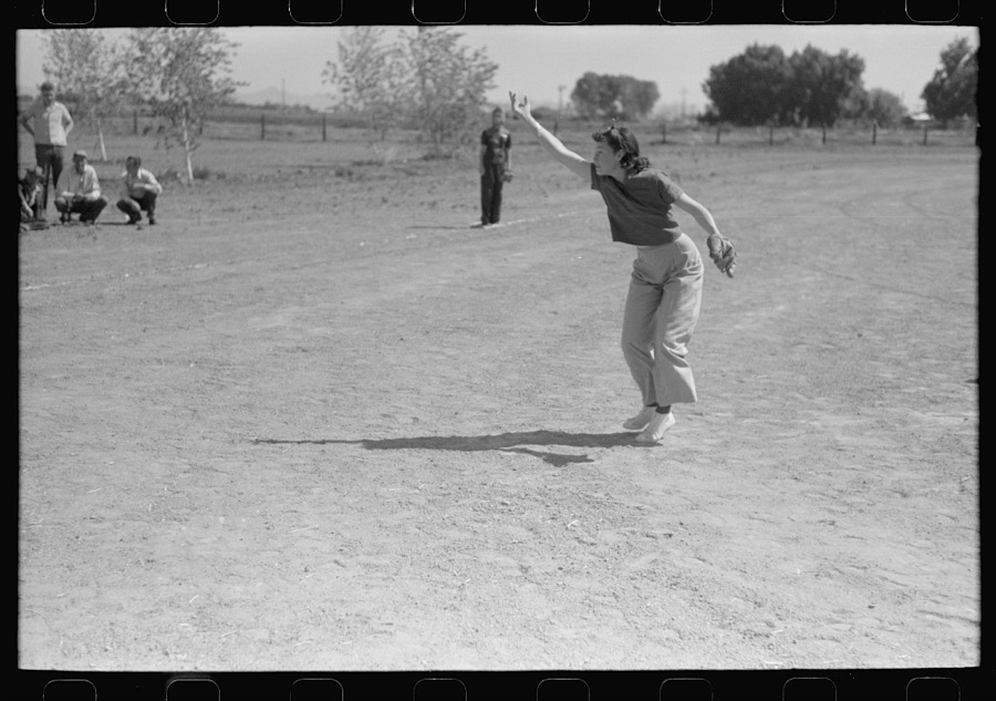
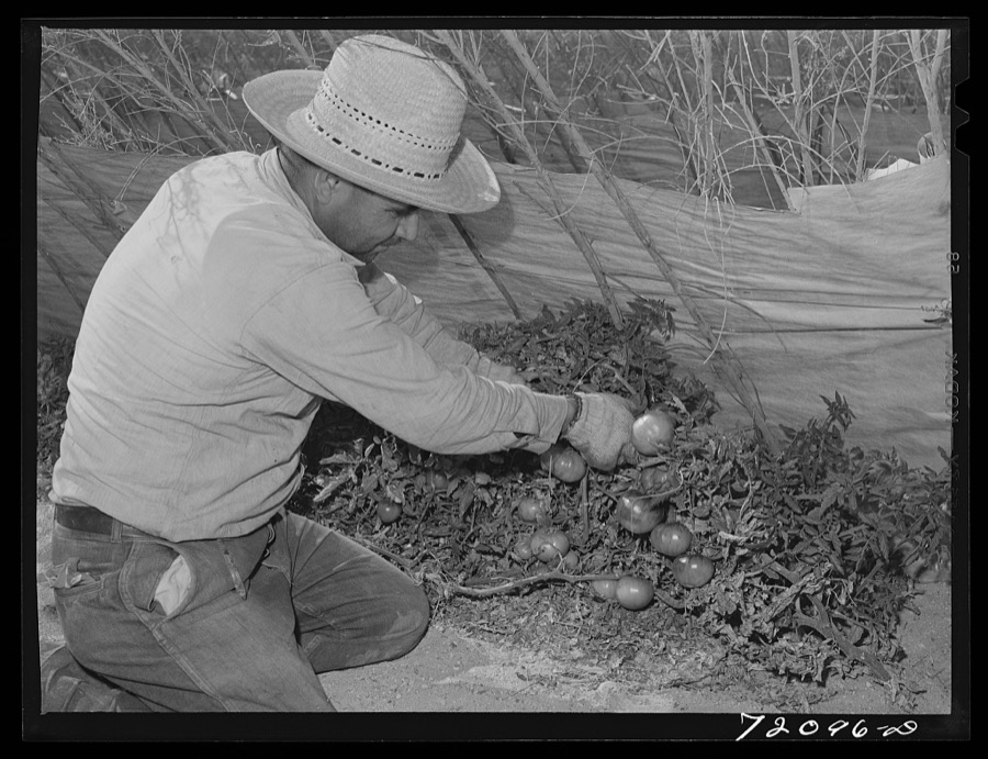
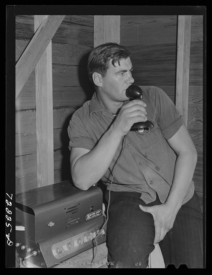
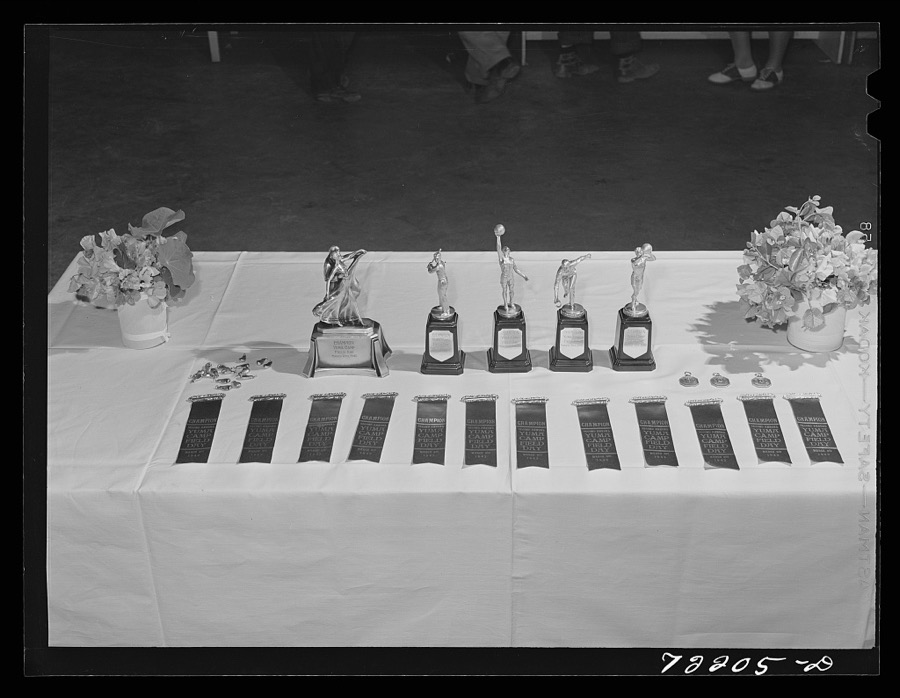
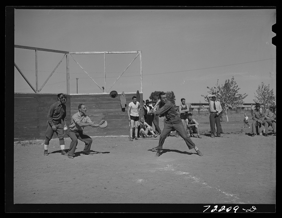
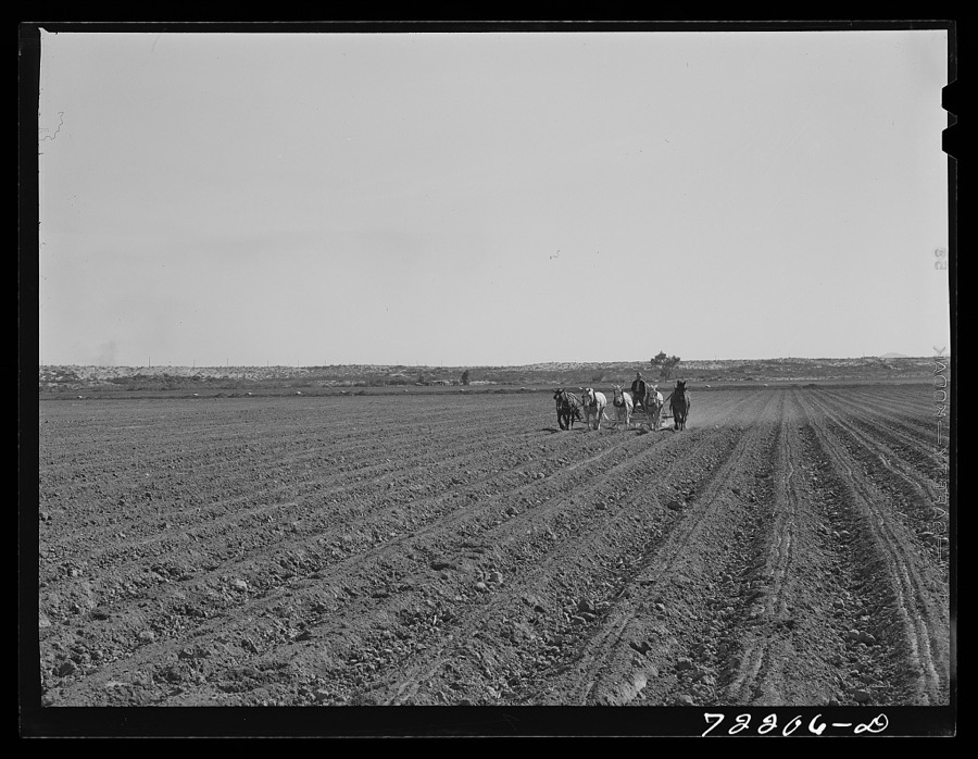
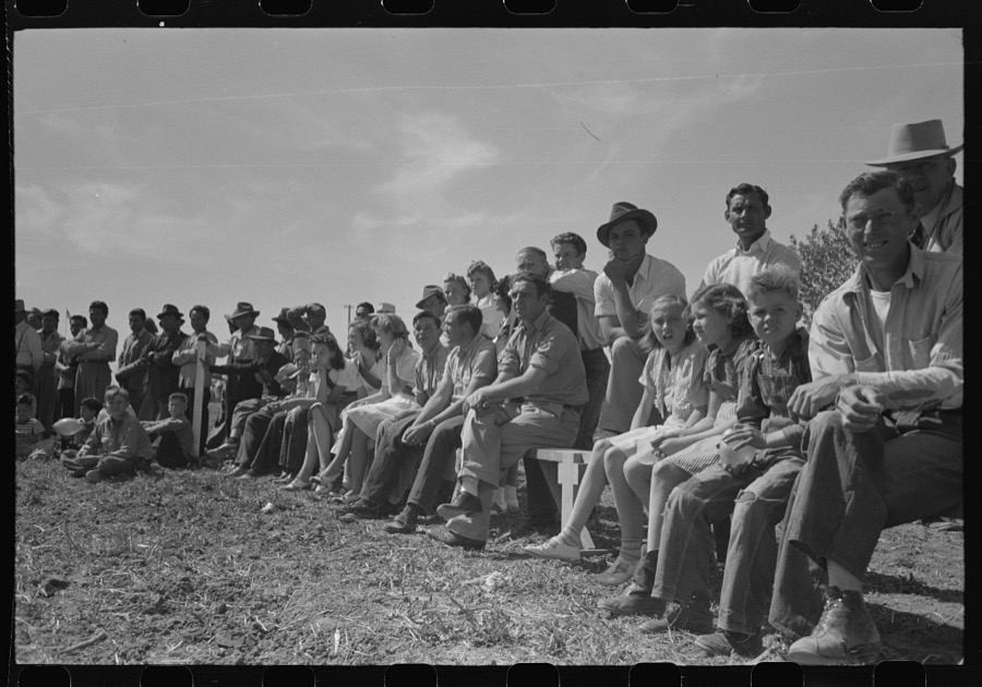
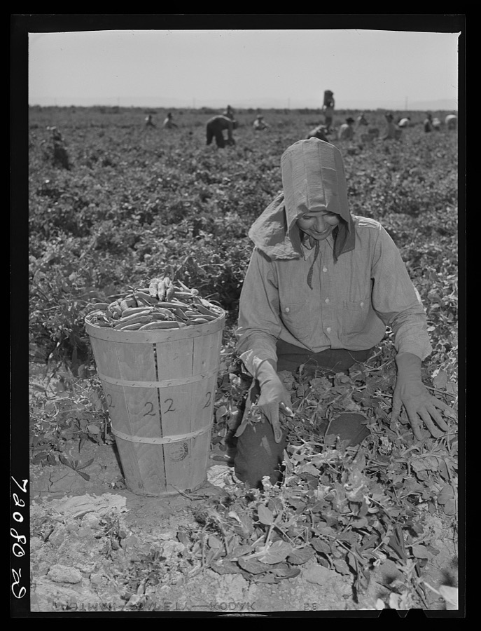
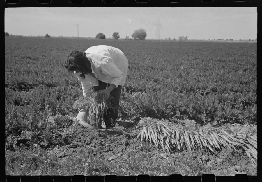
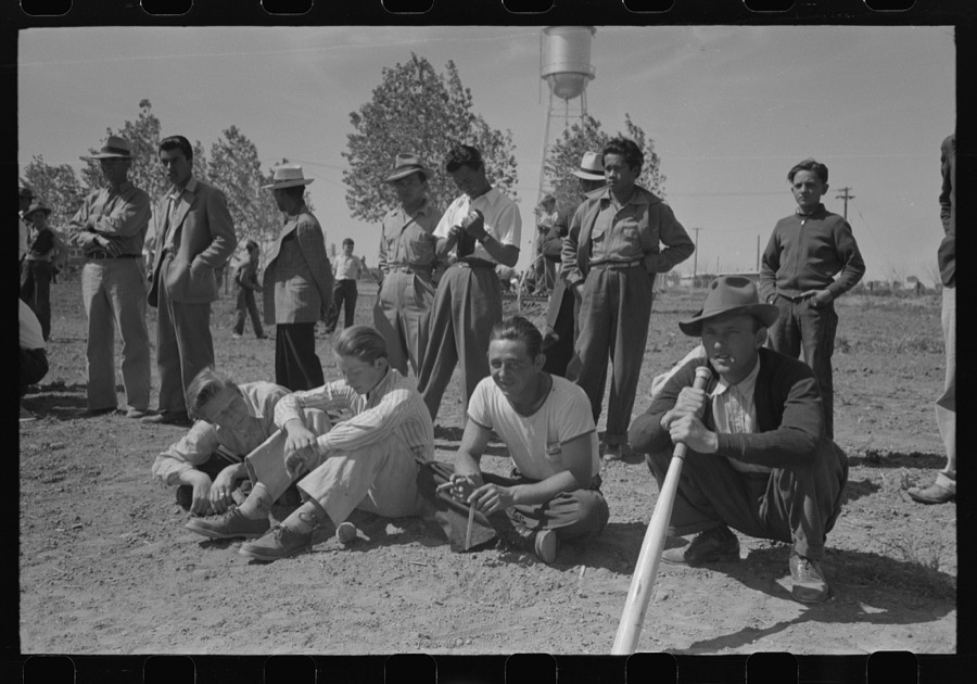
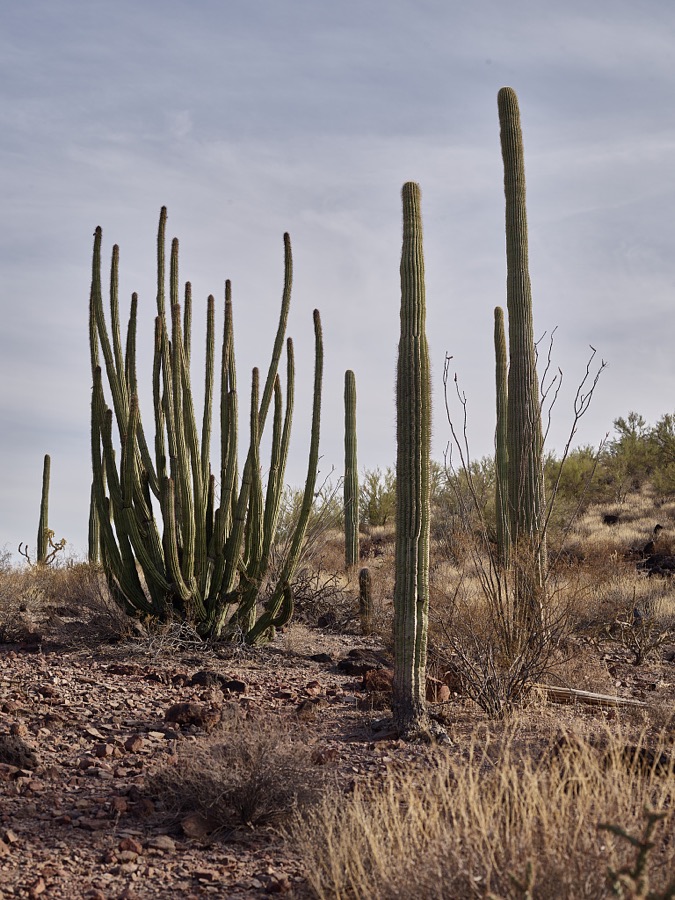
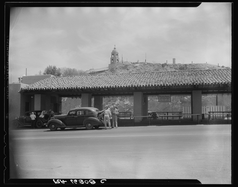
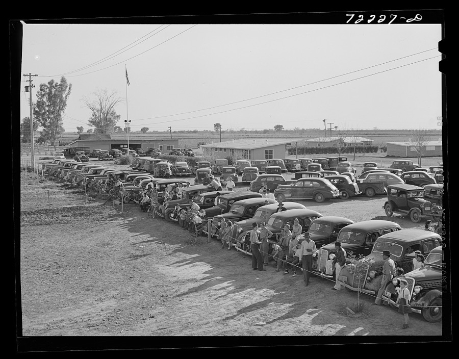
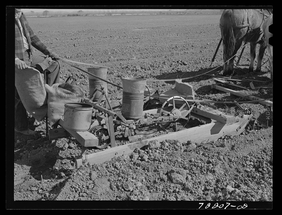
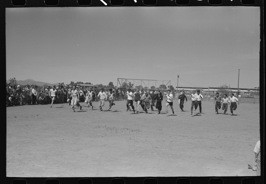
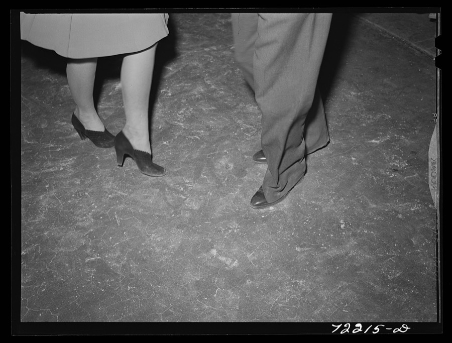
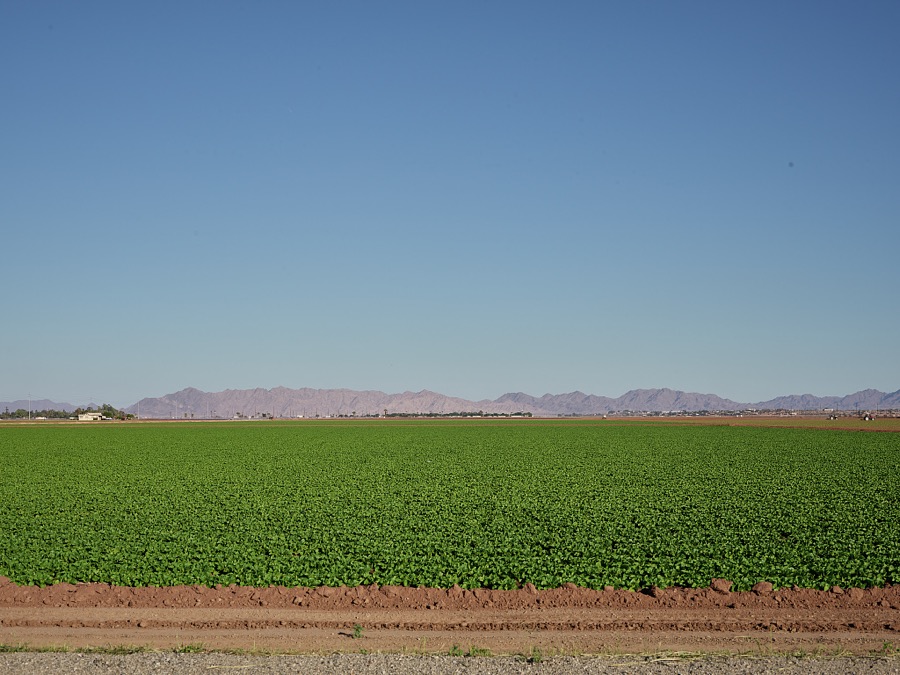
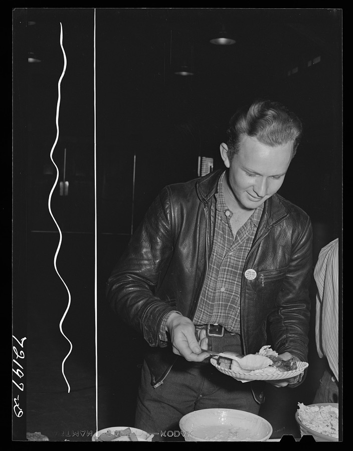
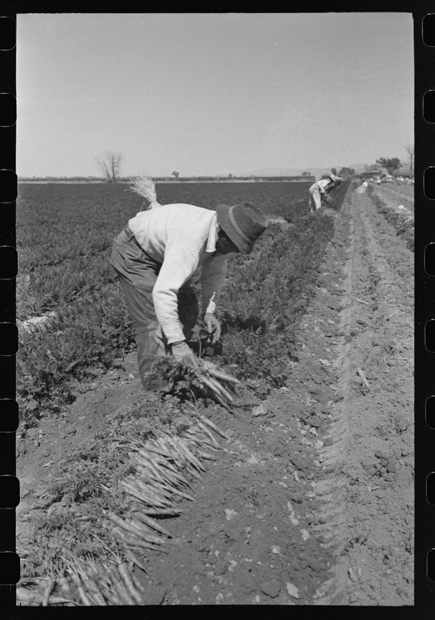
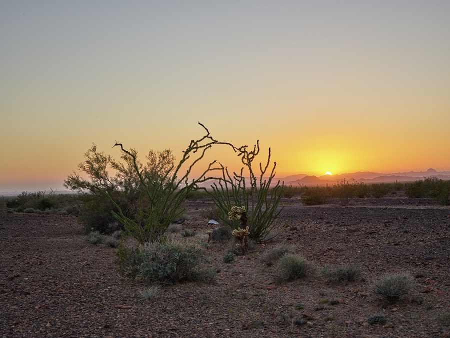
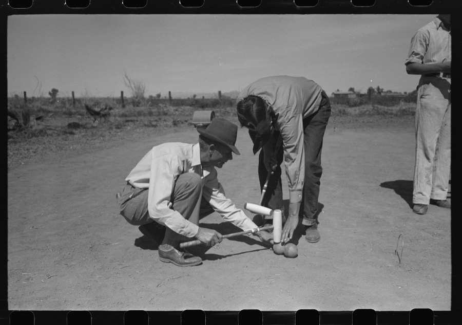
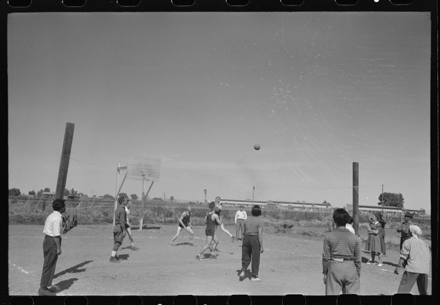
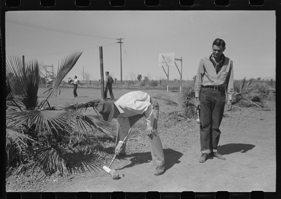
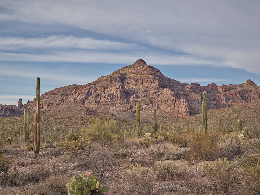
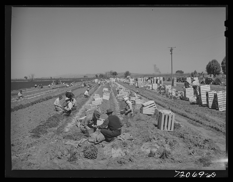
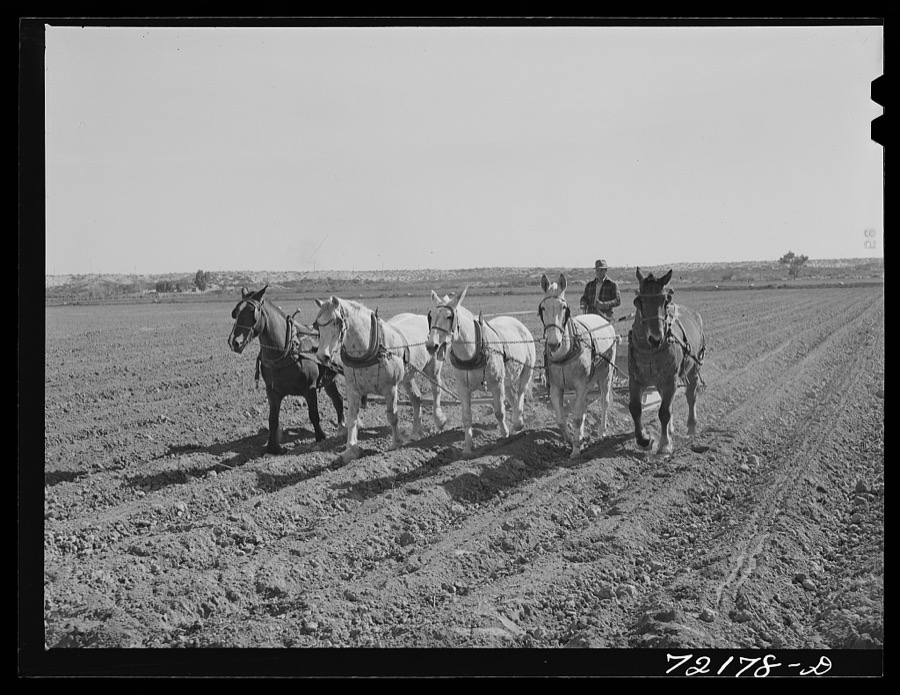
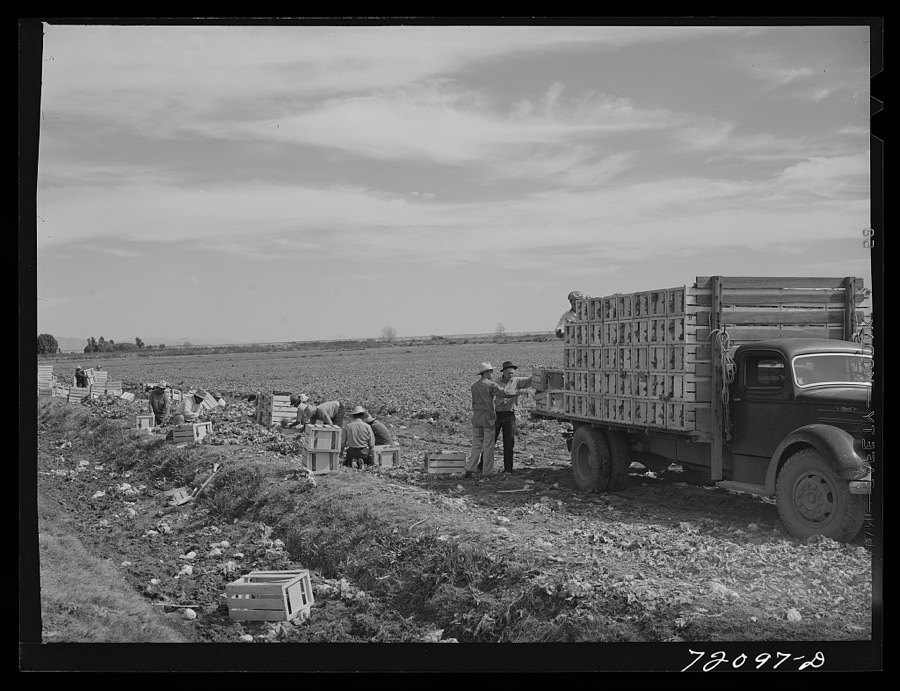
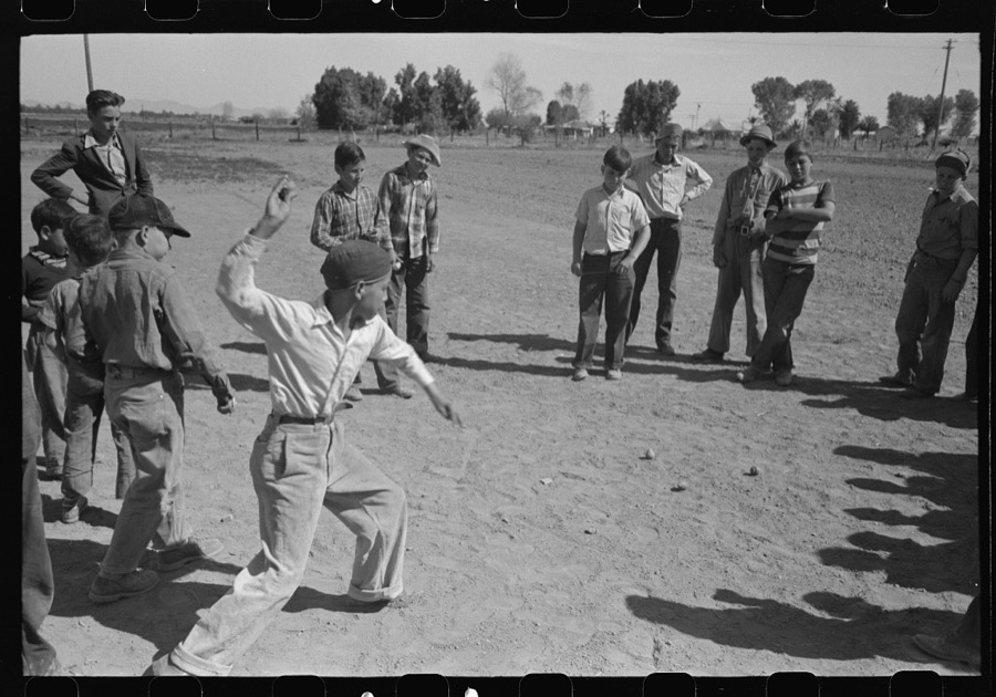
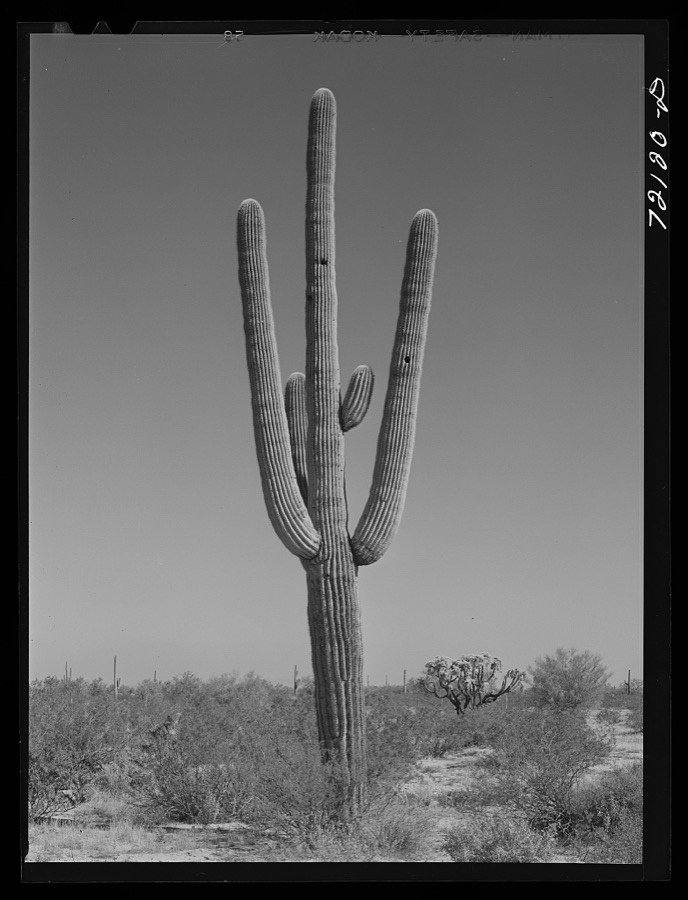
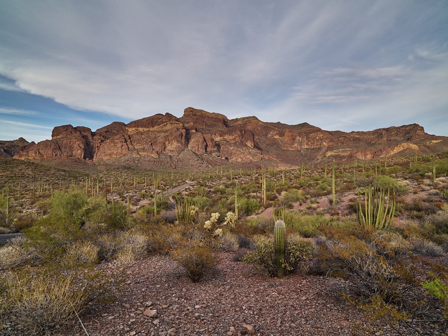
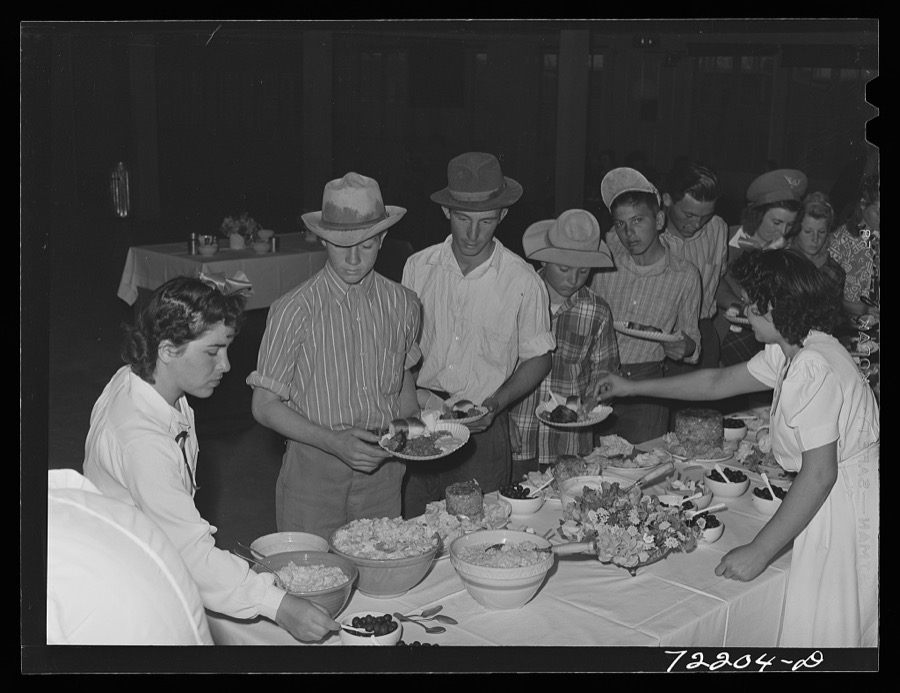
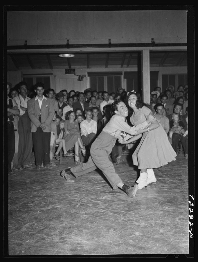
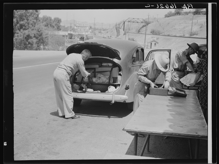
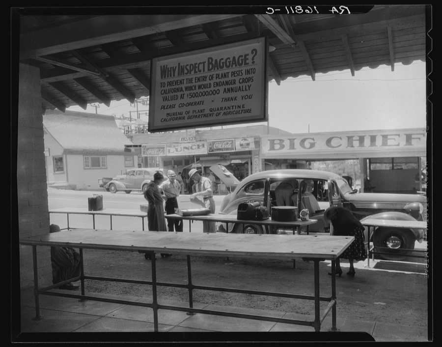
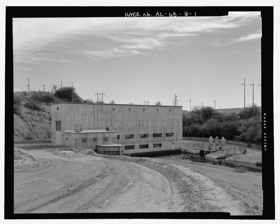
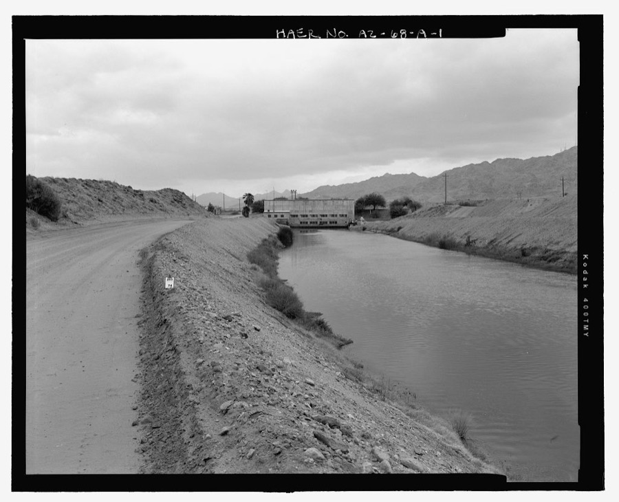
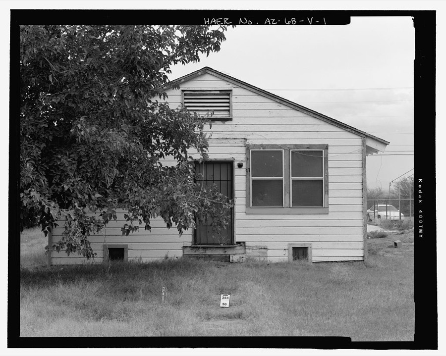
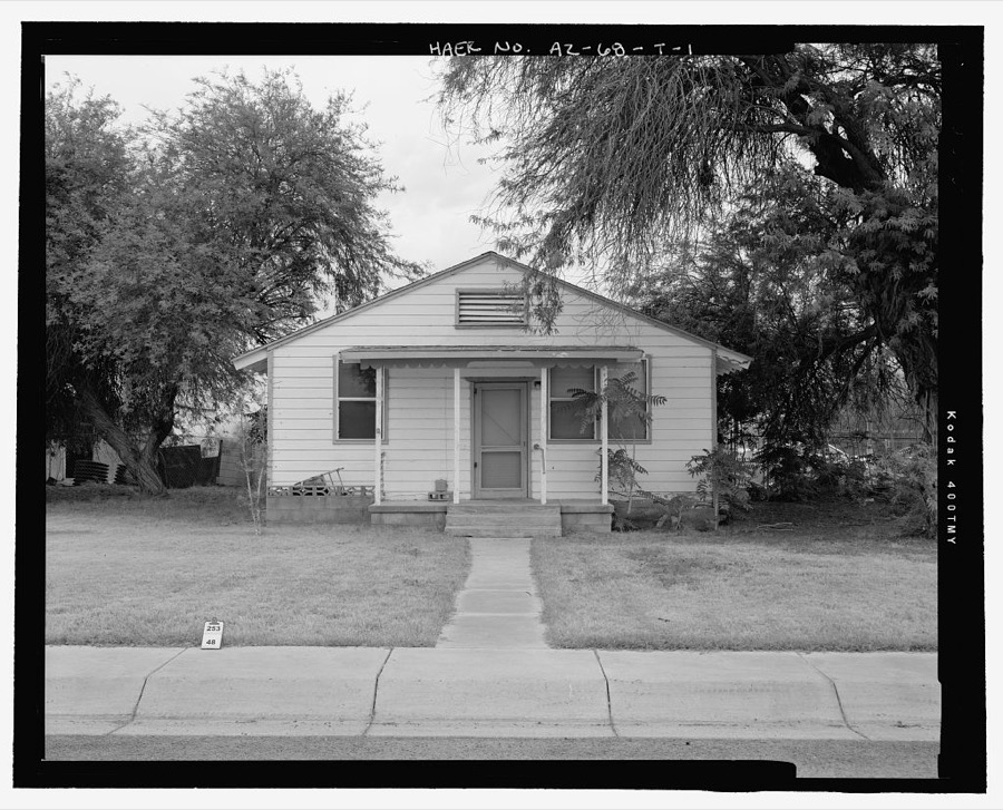
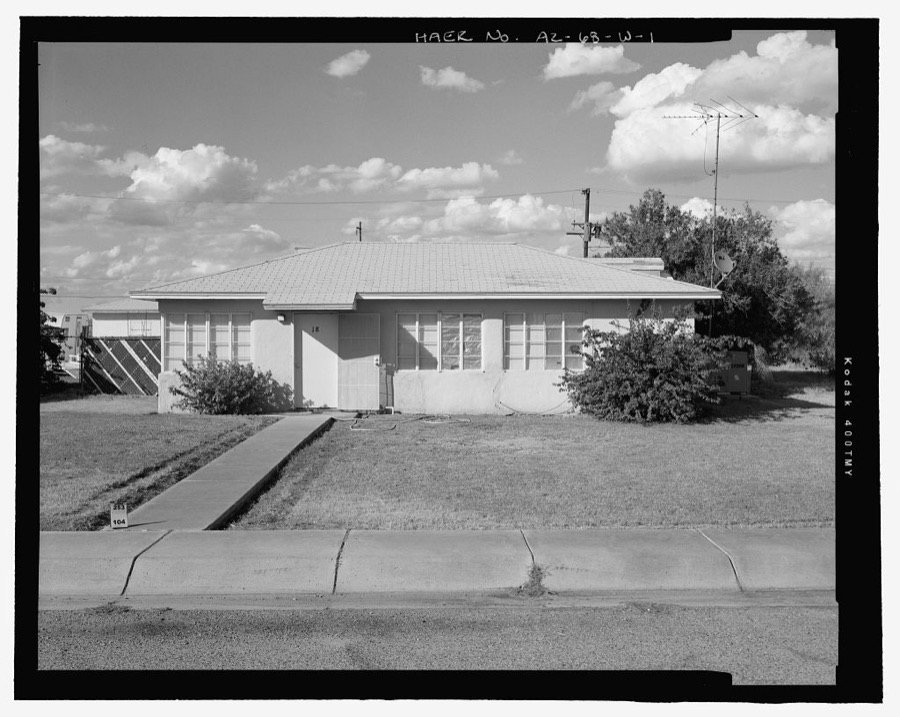
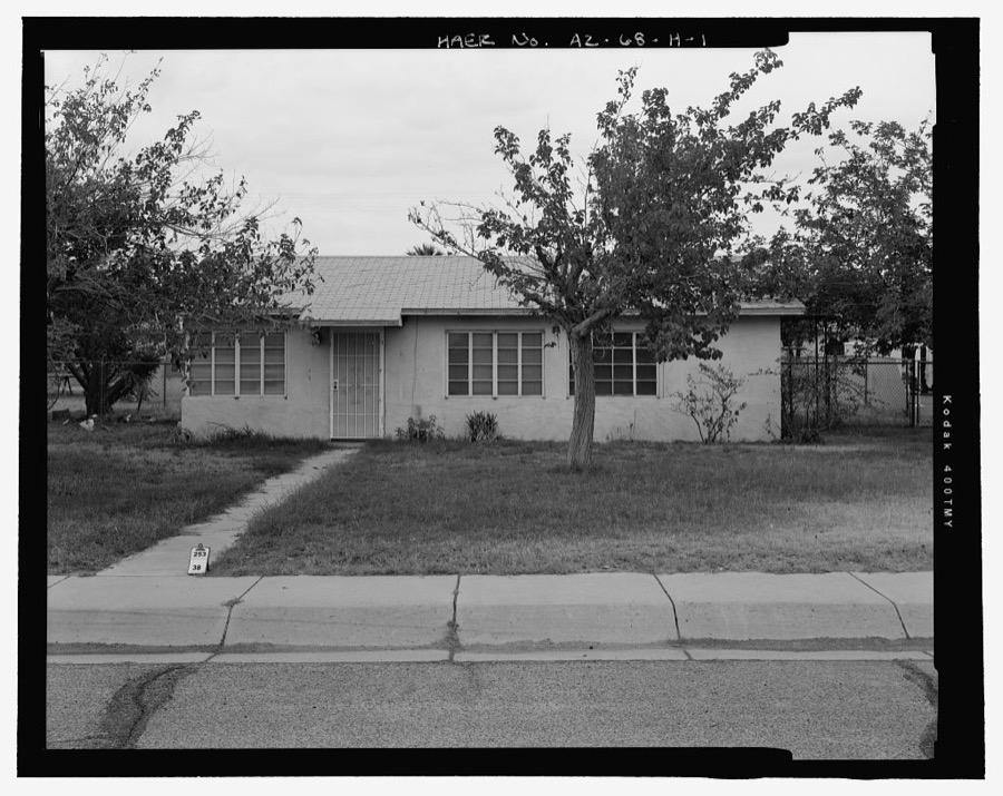
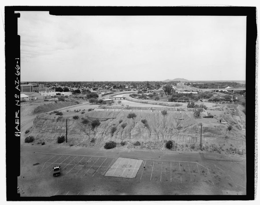
Every property in this county listed on the National Register of Historic Places, with the year it was listed and the federal nomination document.
| Photograph | Property | Type | Listed | Reference |
|---|---|---|---|---|
 | Antelope Hill Highway Bridge | structure | 1979 | 79003444 |
 | Balsz House | building | 1982 | 82001624 |
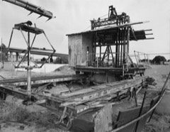 | Blaisdell Slow Sand Filter Washing Machine | object | 1979 | 79000430 |
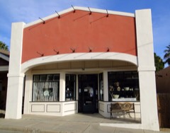 | Brinley Avenue Historic District | district | 1982 | 82001625 |
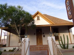 | Brown House | building | 1982 | 82001626 |
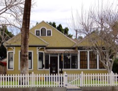 | Brownstetter House | building | 1982 | 82001627 |
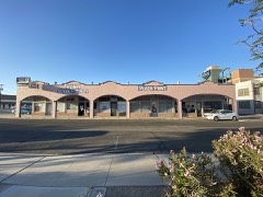 | Cactus Press-Plaza Paint Building | building | 1987 | 87000613 |
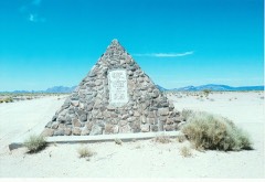 | Camp Horn Monument | object | 2003 | 03000900 |
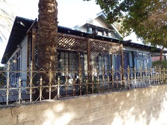 | Caruthers House | building | 1982 | 82001628 |
| Connor House | building | 1982 | 82001629 | |
| Double Roof House | building | 1982 | 82001631 | |
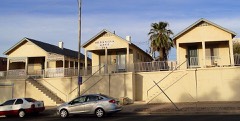 | Dressing Apartments | building | 1982 | 82001630 |
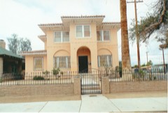 | Frank Ewing House | building | 1982 | 82001632 |
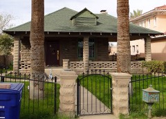 | Ruth Ewing House | building | 1982 | 82004844 |
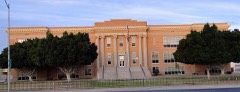 | Fourth Avenue Junior High School | building | 1982 | 82001633 |
| Fredley Apartments | building | 1982 | 82001634 | |
| Fredley House | building | 1982 | 82001635 | |
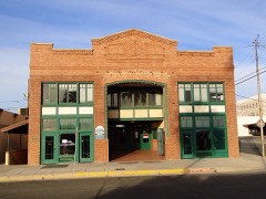 | Gandolfo Theater | building | 1982 | 82001636 |
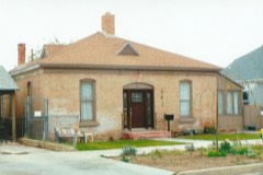 | Alfred Griffin House | building | 1982 | 82001637 |
| Peter B. Hodges House | building | 1982 | 82001638 | |
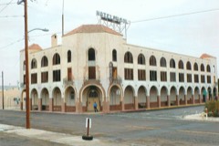 | Hotel del Ming | building | 1982 | 82001639 |
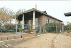 | E.B. Jackson House | building | 1982 | 82001640 |
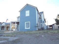 | Jerry Kent House | building | 1982 | 82001641 |
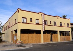 | Lee Hotel | building | 1984 | 84000750 |
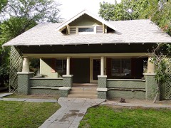 | Henry Levy House | building | 1982 | 82001642 |
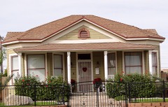 | George Marable House | building | 1982 | 82001643 |
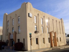 | Masonic Temple | building | 1984 | 84000752 |
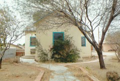 | Carmelita Mayhew House | building | 1982 | 82001644 |
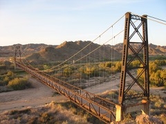 | McPhaul Suspension Bridge | structure | 1981 | 81000140 |
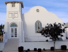 | Methodist Episcopal Church | building | 1982 | 82001645 |
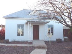 | Methodist Parsonage | building | 1982 | 82001646 |
| Mexican Consulate | building | 1982 | 82001647 | |
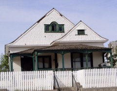 | A.B. Ming House | building | 1982 | 82001648 |
| Mohawk Valley School | building | 1986 | 86003525 | |
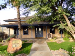 | Norton House | building | 1982 | 82001649 |
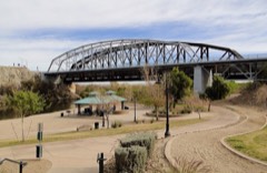 | Ocean To Ocean Bridge | structure | 1979 | 79000431 |
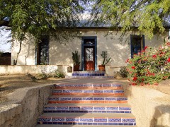 | Ortiz House | building | 1982 | 82001650 |
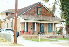 | Pancrazi House | building | 1982 | 82001651 |
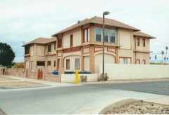 | Pauley Apartments | building | 1982 | 82001652 |
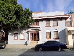 | Power Apartments | building | 1982 | 82001653 |
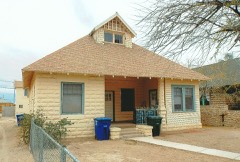 | Clara Smith Riley House | building | 1982 | 82001654 |
| Roosevelt School | building | 1982 | 82001655 | |
 | Russell-Williamson House | building | 1982 | 82001656 |
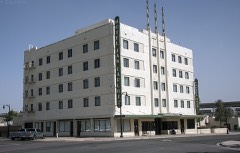 | San Carlos Hotel | building | 1984 | 84000754 |
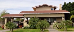 | J. Homer Smith House | building | 1982 | 82001658 |
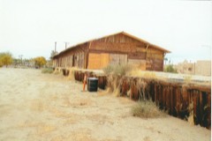 | Southern Pacific Freight Depot | building | 1987 | 87000614 |
| Southern Pacific Railroad Depot | building | 1976 | 76000384 | |
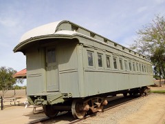 | Southern Pacific Railroad Passenger Coach Car-S.P. X7 | structure | 2000 | 00000101 |
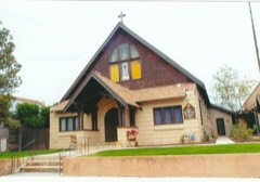 | St. Paul's Episcopal Church | building | 1982 | 82001657 |
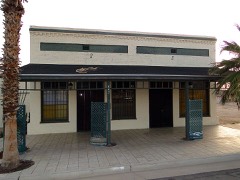 | Stoffela Store/Railroad Exchange | building | 1982 | 82001659 |
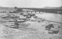 | Superintendent's Residence | building | 1966 | 66000197 |
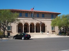 | US Post Office-Yuma Main | building | 1985 | 85003109 |
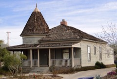 | Yuma Century Heights Conservancy Residential Historic District | district | 1988 | 88001834 |
 | Yuma City Hall | building | 1982 | 82001660 |
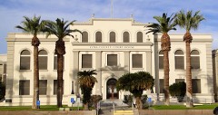 | Yuma County Courthouse | building | 1982 | 82001661 |
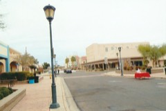 | Yuma Main Street Historic District | district | 1994 | 94000068 |
Sampled issues, machine-read from the Library of Congress scan and published page by page, so every headline and column is searchable text.
Yuma, Ariz., 1911 to 1915. Machine-read from the Library of Congress scan.
Yuma, Ariz., 1915 to 1916. Machine-read from the Library of Congress scan.
Yuma, Ariz., 1916 to 1918. Machine-read from the Library of Congress scan.
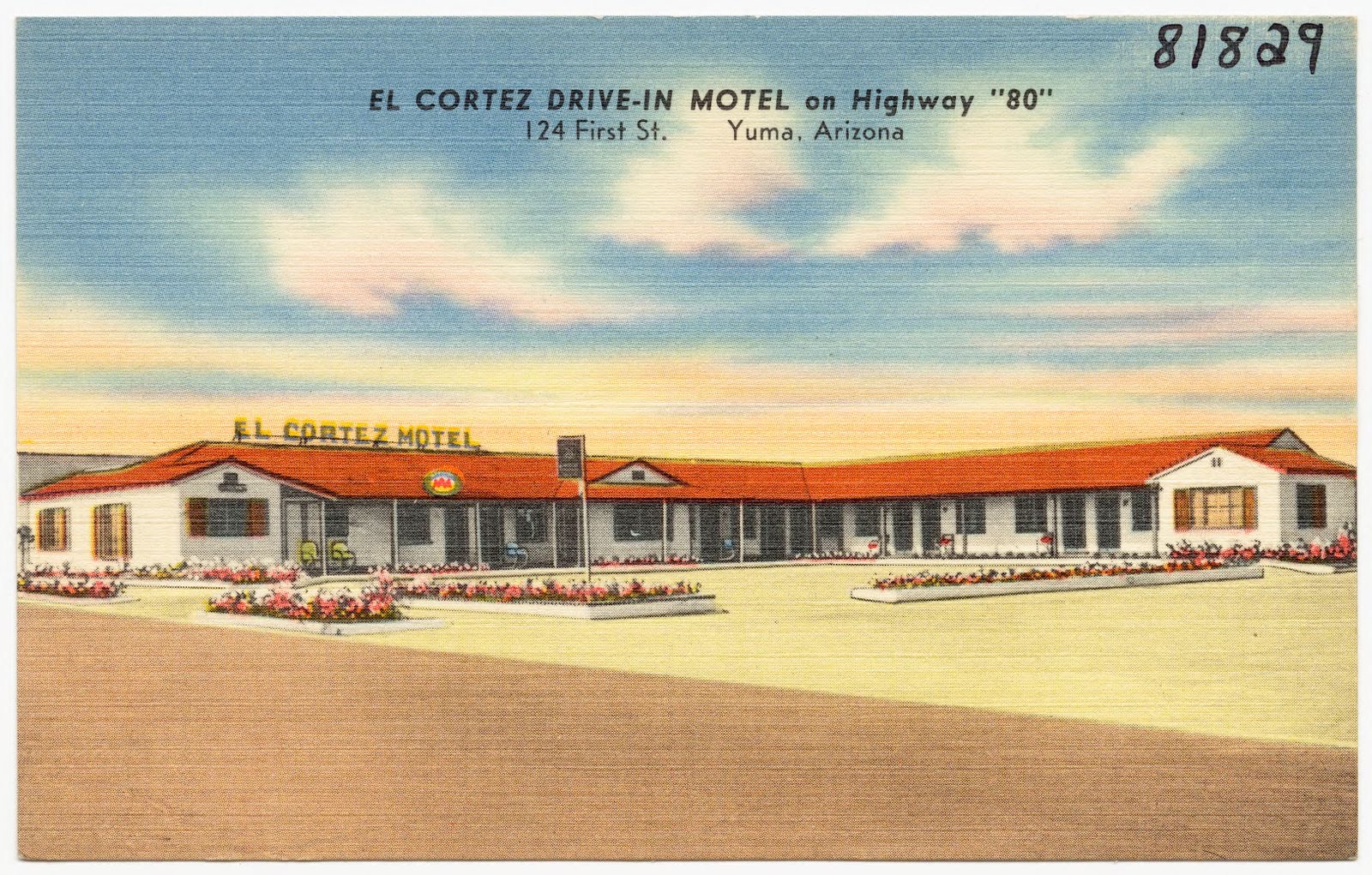
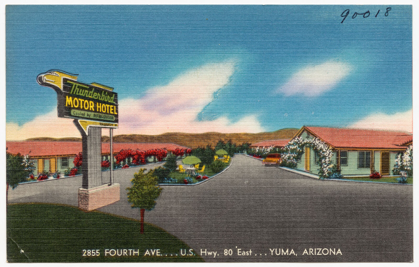
Selected from the Digital Public Library of America's 9 image records catalogued for this county. Every one shown here carries a public-domain status or a licence that permits reuse on a site that carries advertising; non-commercial, share-alike and restricted images are excluded. The selection is spread across the county's towns (at most eight per town), so no single institution's bulk upload crowds out the rest. Each opens the holding library's record, and the complete set at the Digital Public Library of America is one click away.
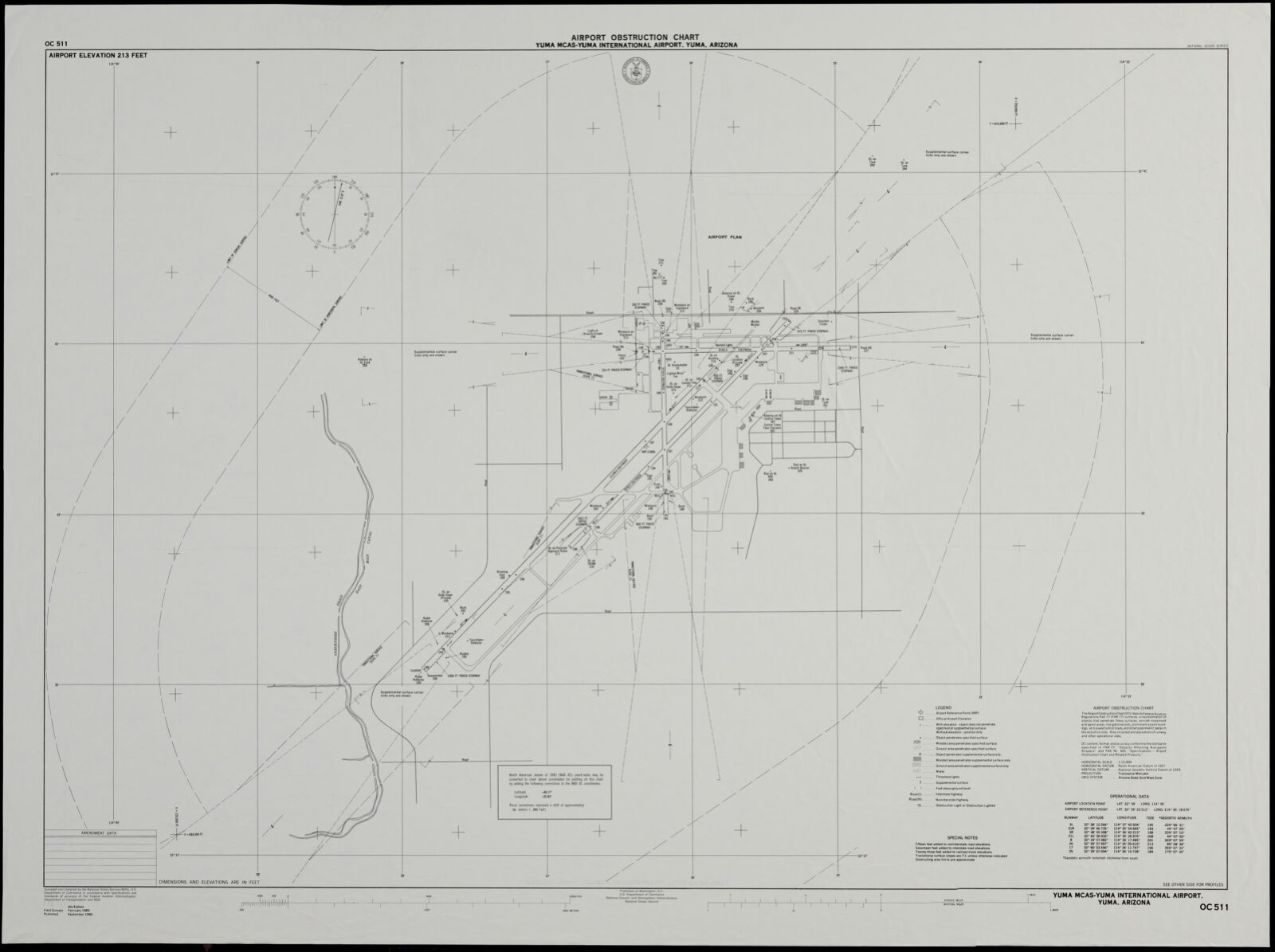
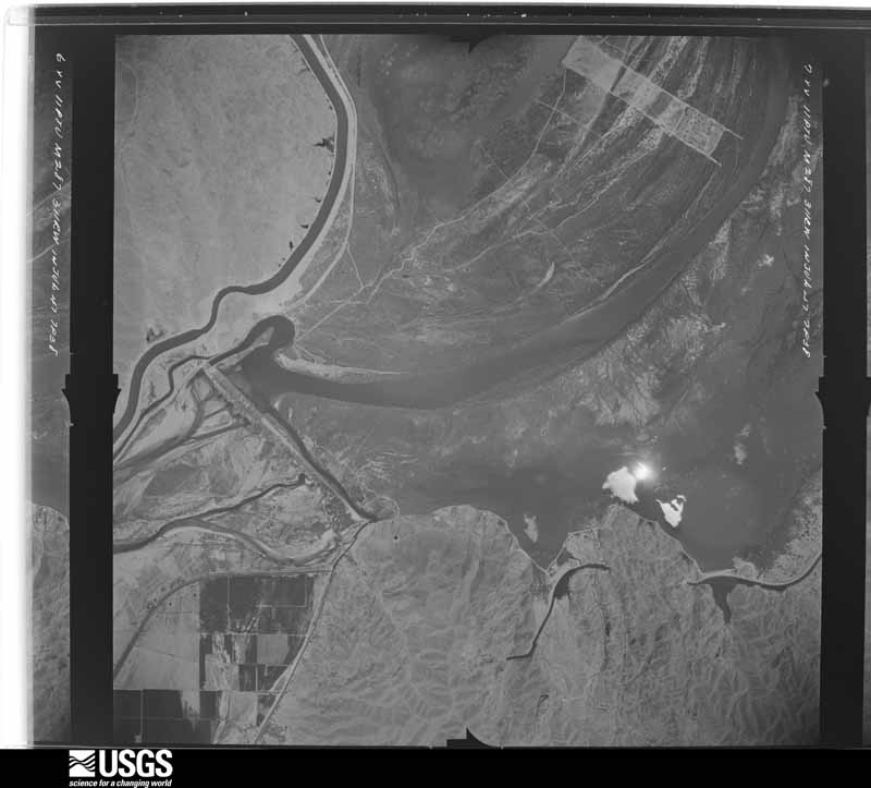
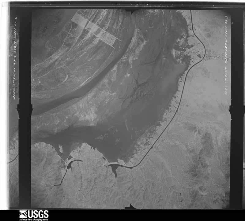
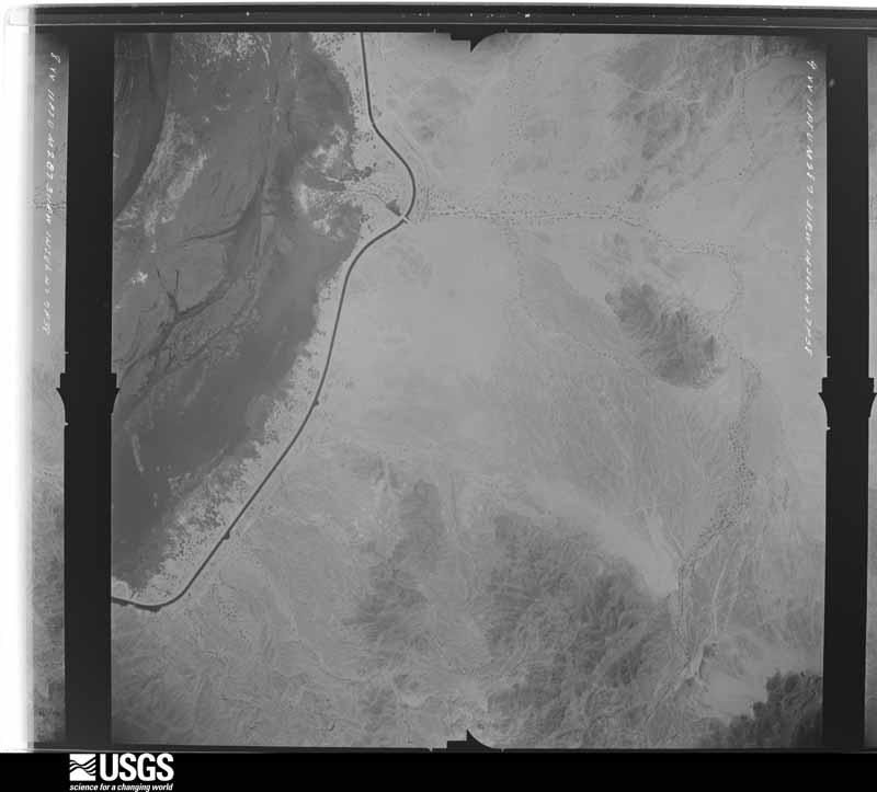
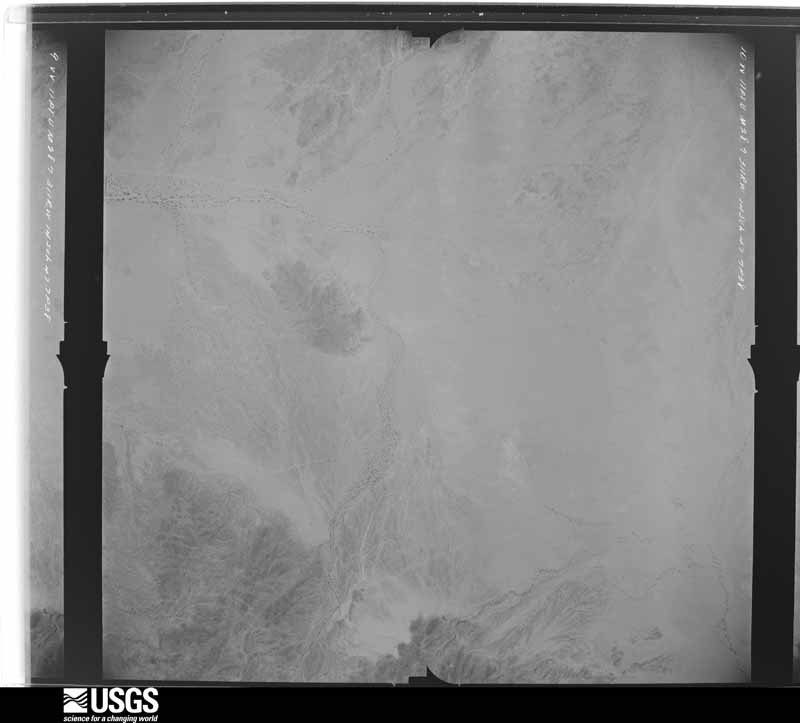
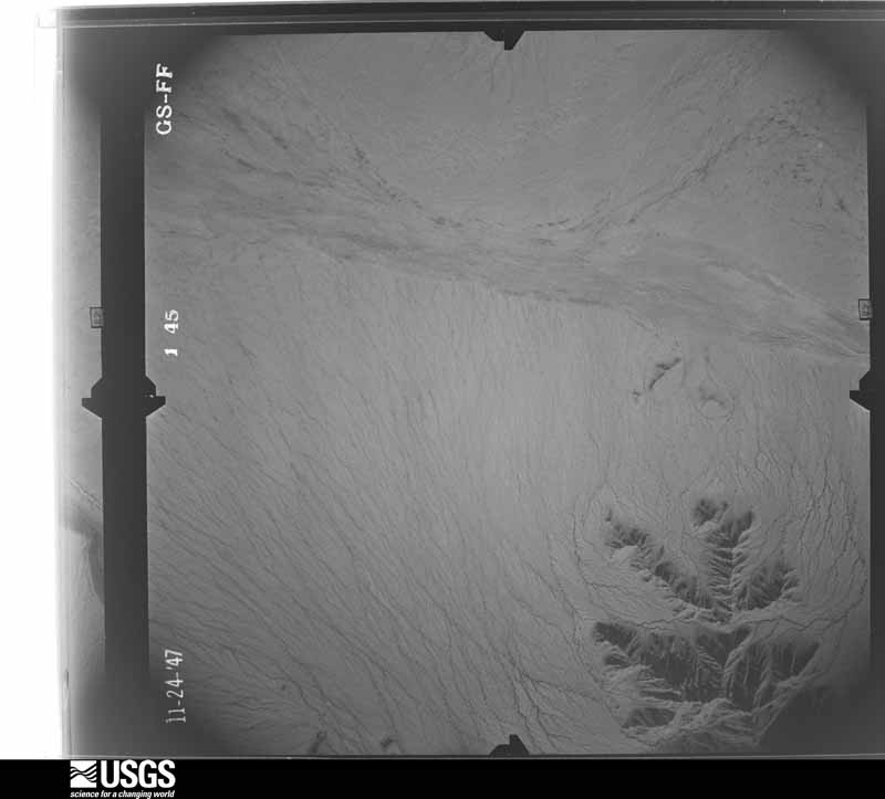
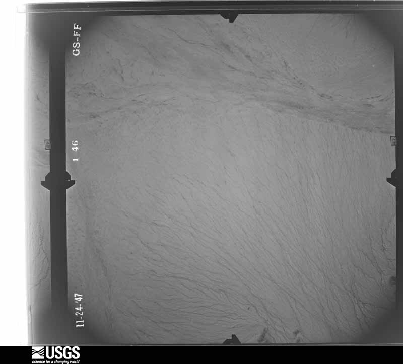
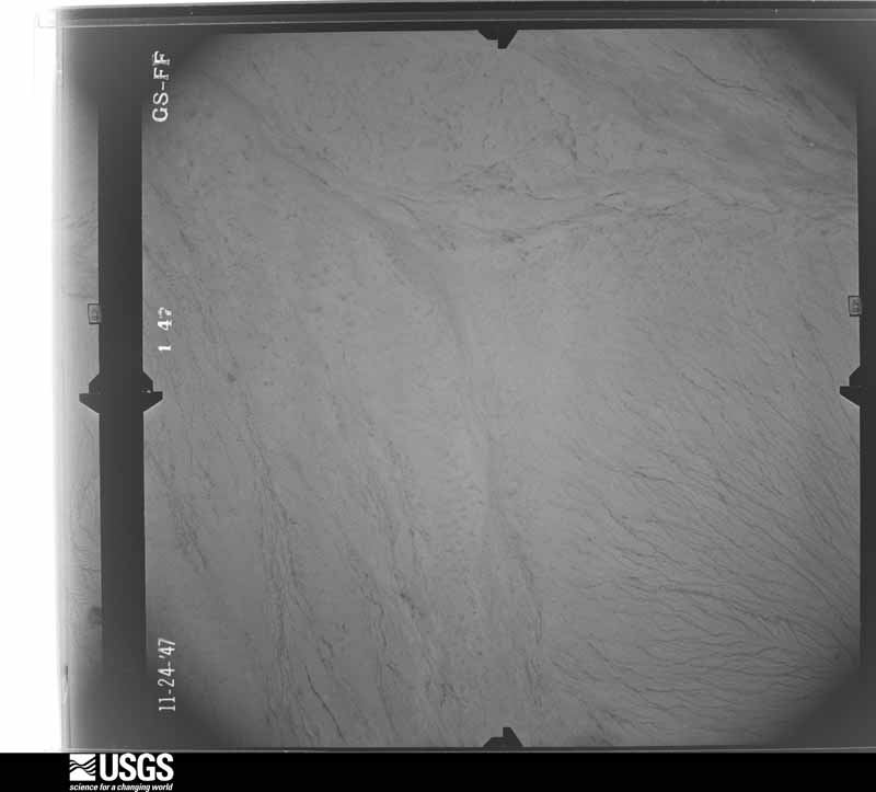
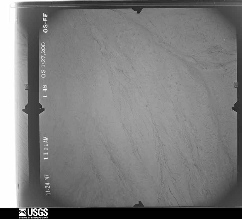
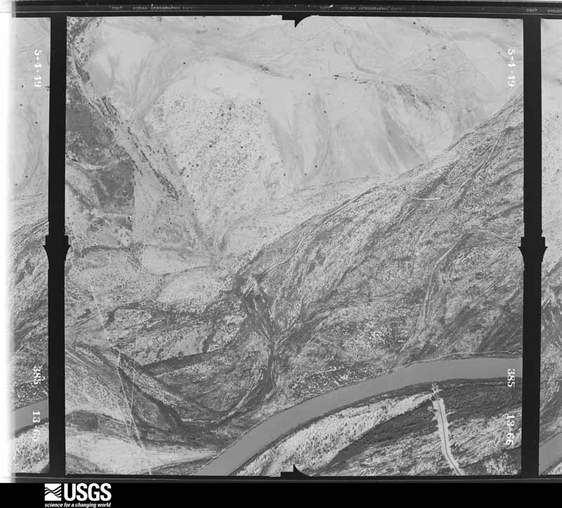
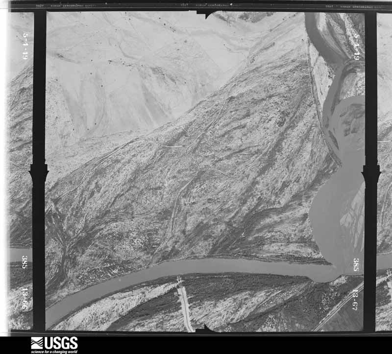
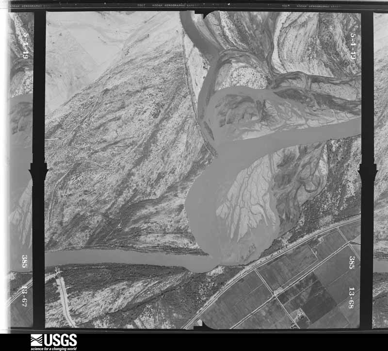
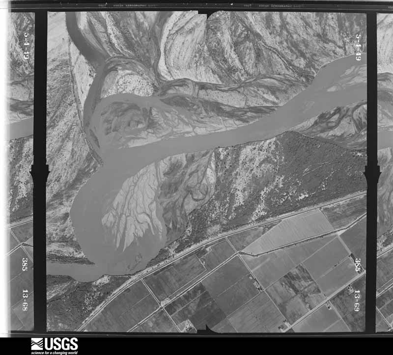
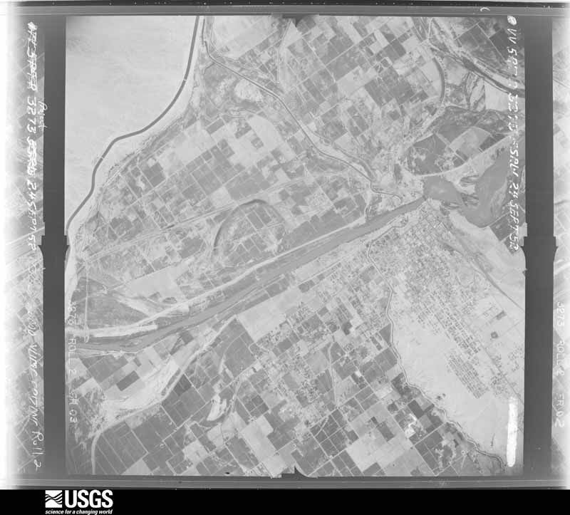
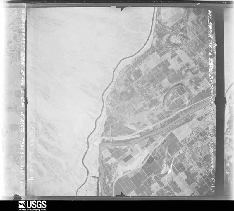
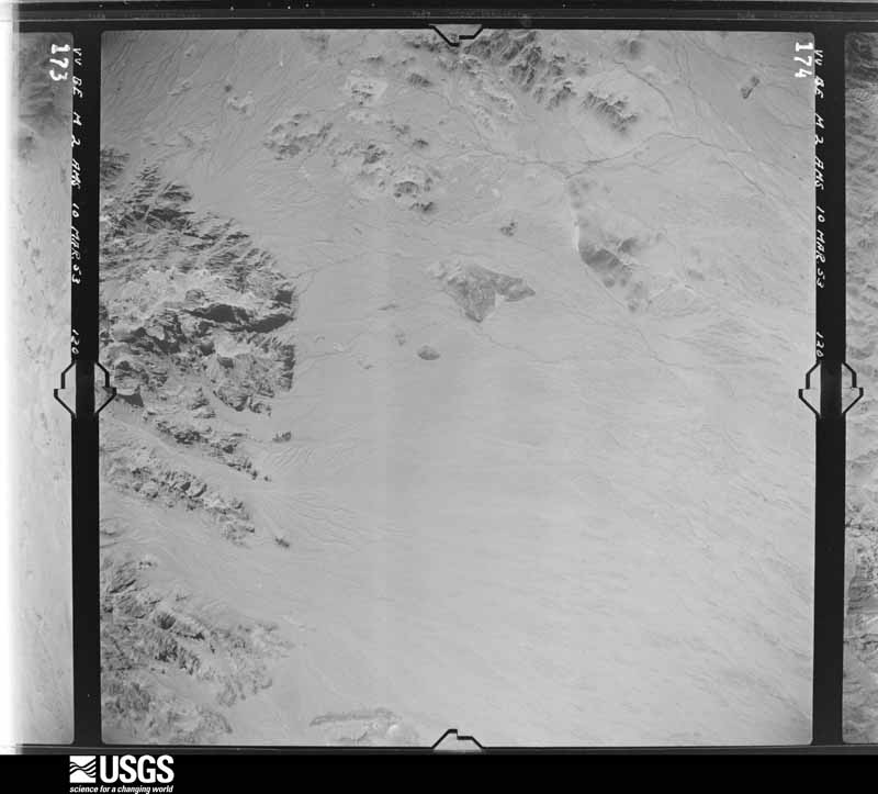
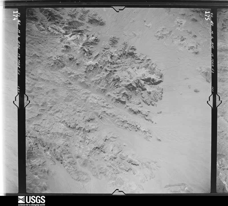
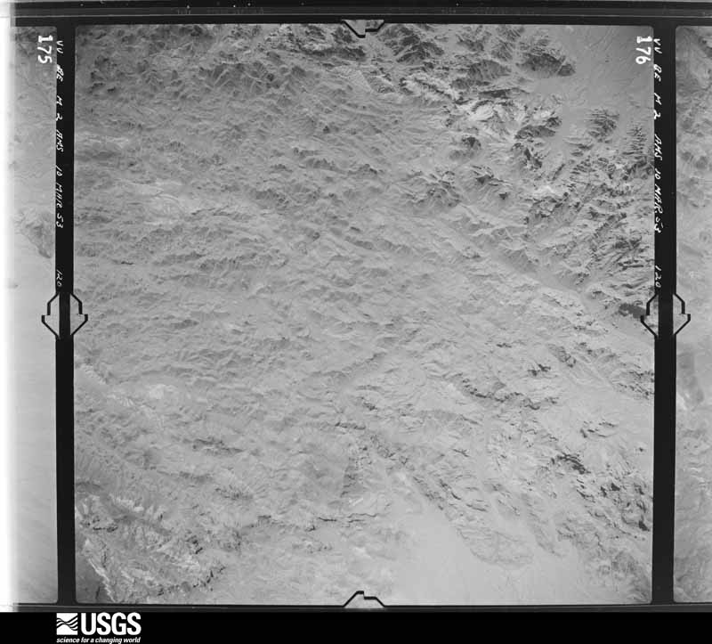
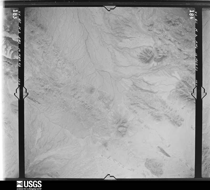
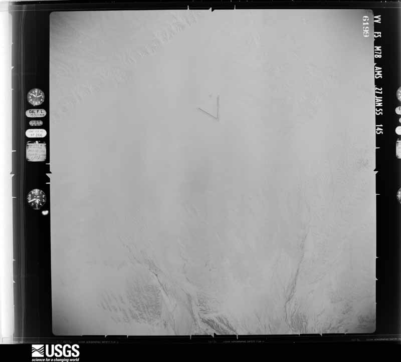
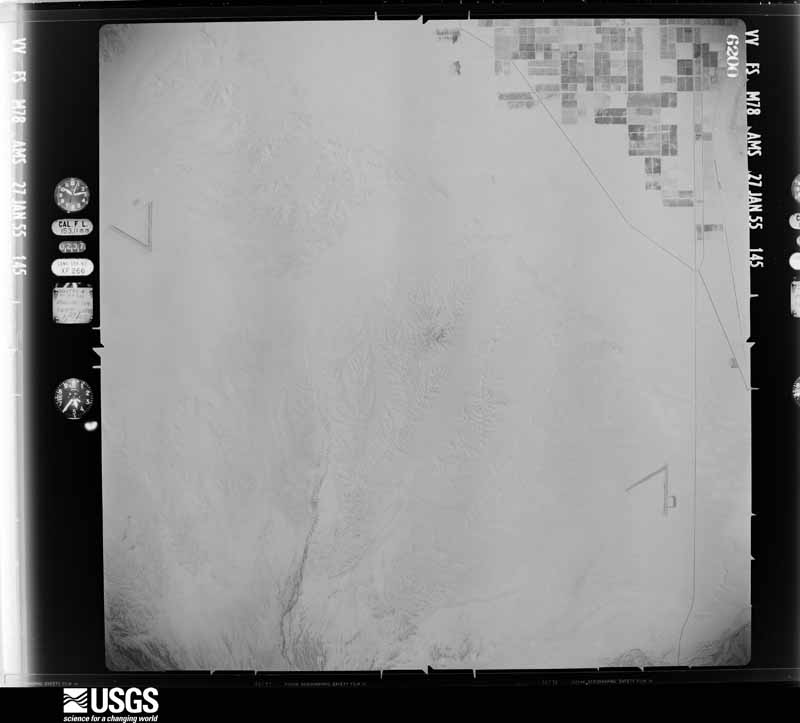
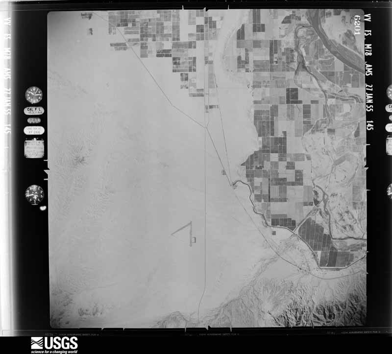
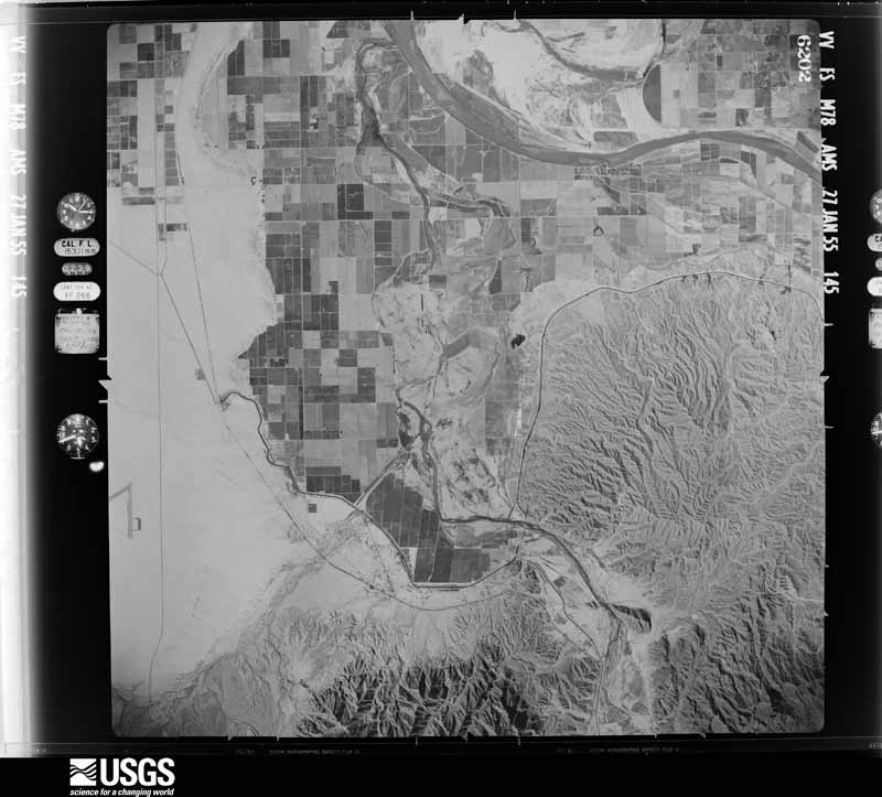
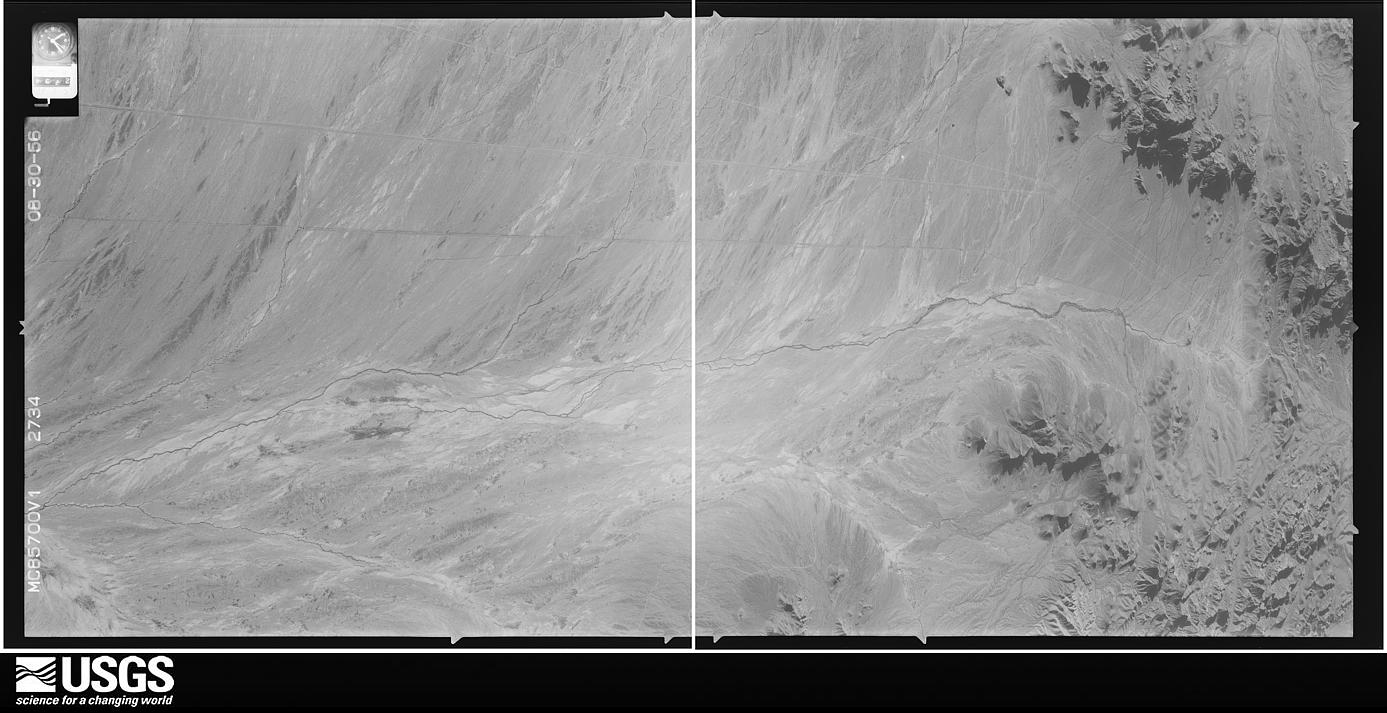
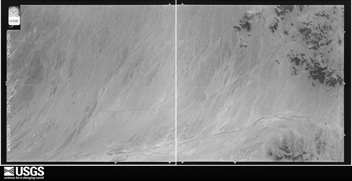
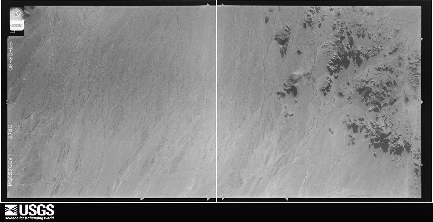
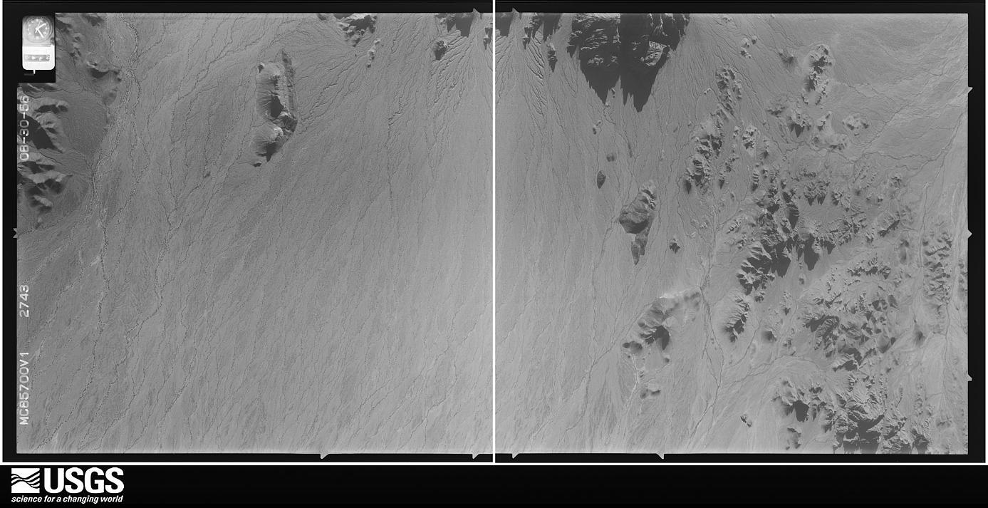
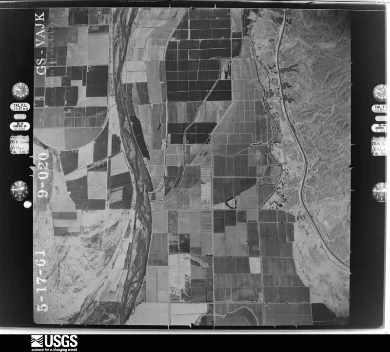
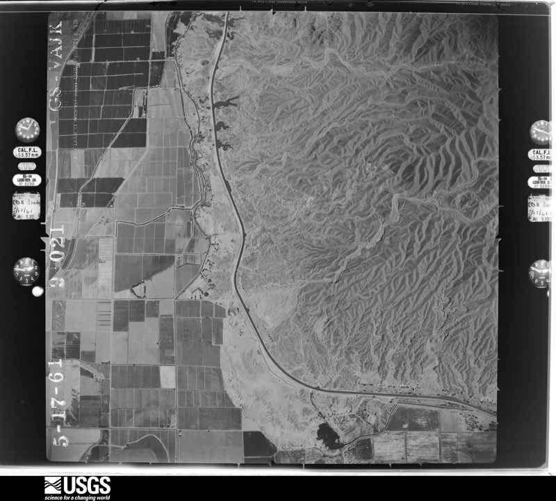
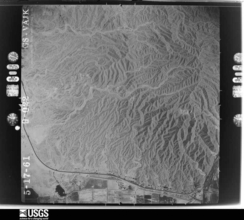
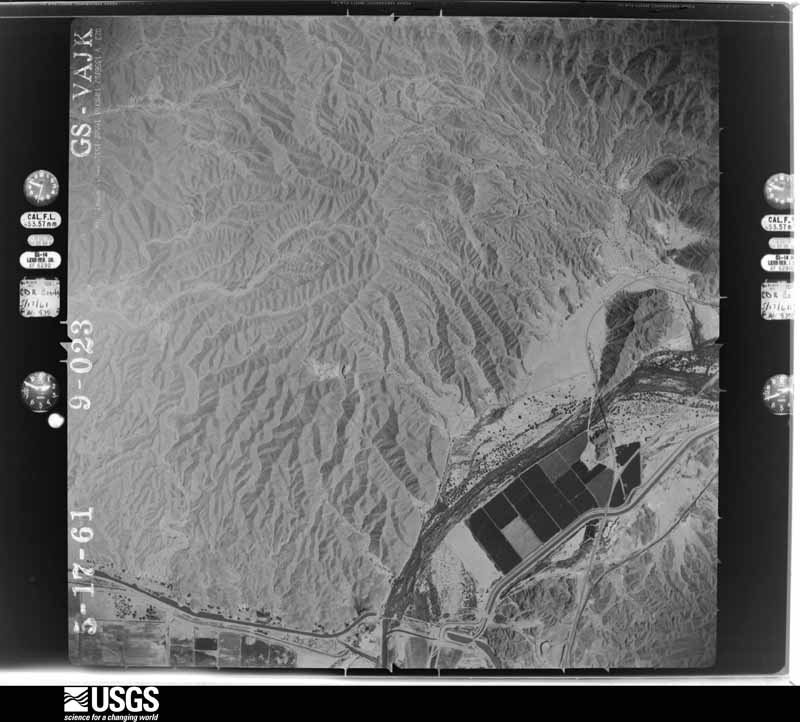
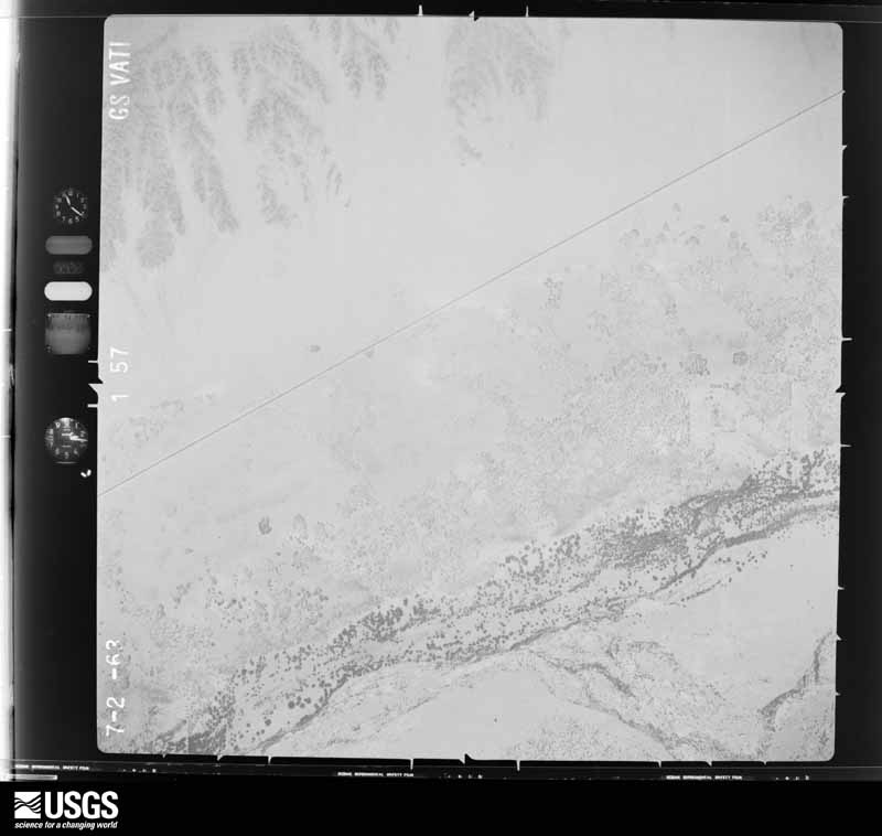
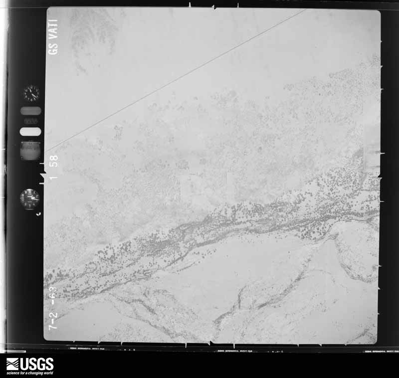
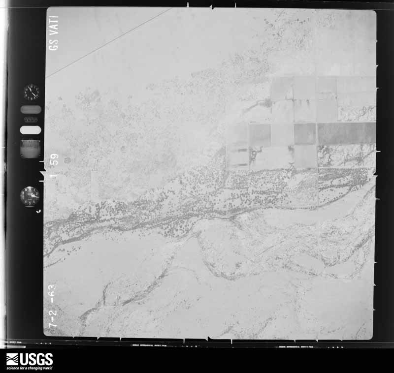
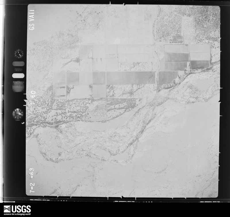
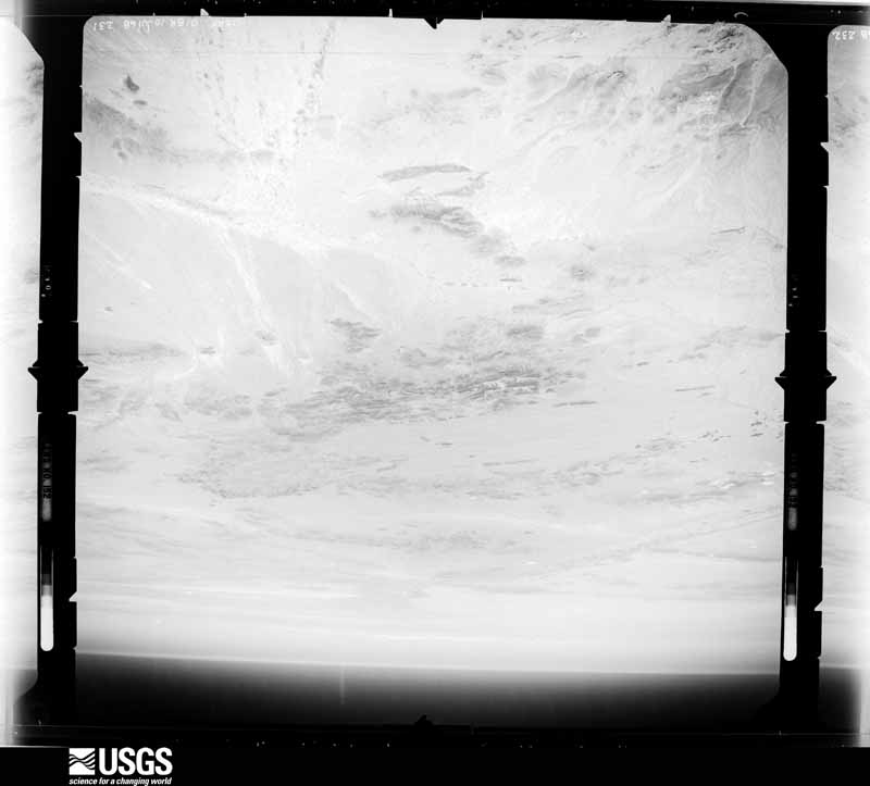
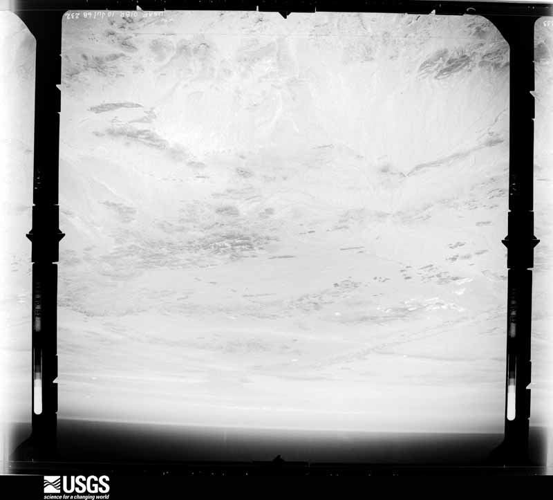
Flown by the U.S. Geological Survey between 1937 and 1989, the Aerial Photo Single Frames collection is the definitive mid-century view of the land: fields, roads and rivers as the camera saw them. The Survey holds 12,483 frames inside the rectangle that bounds this county; the 48 frames below were taken over the county itself, chosen across the decades of flights (at most four a year from that rectangle), so one flight cannot crowd out the rest. The full set is free to browse and download at EarthExplorer under the dataset Aerial Photo Single Frames.
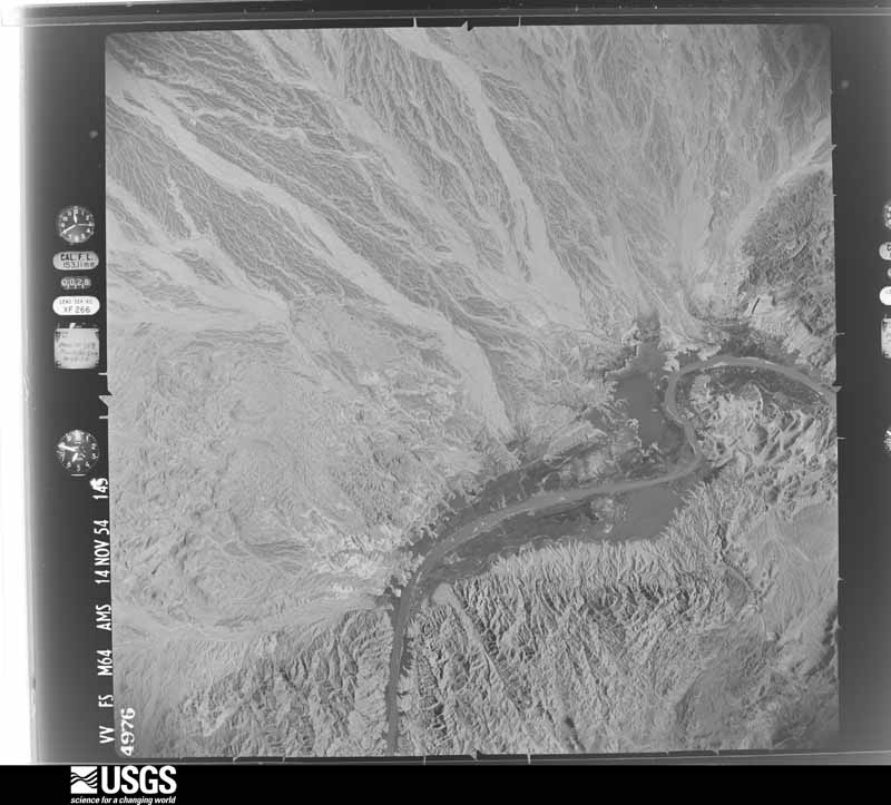
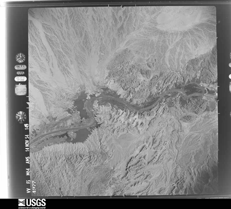
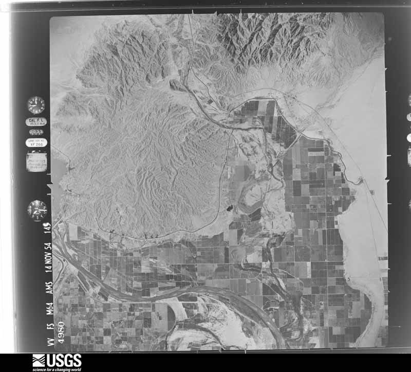
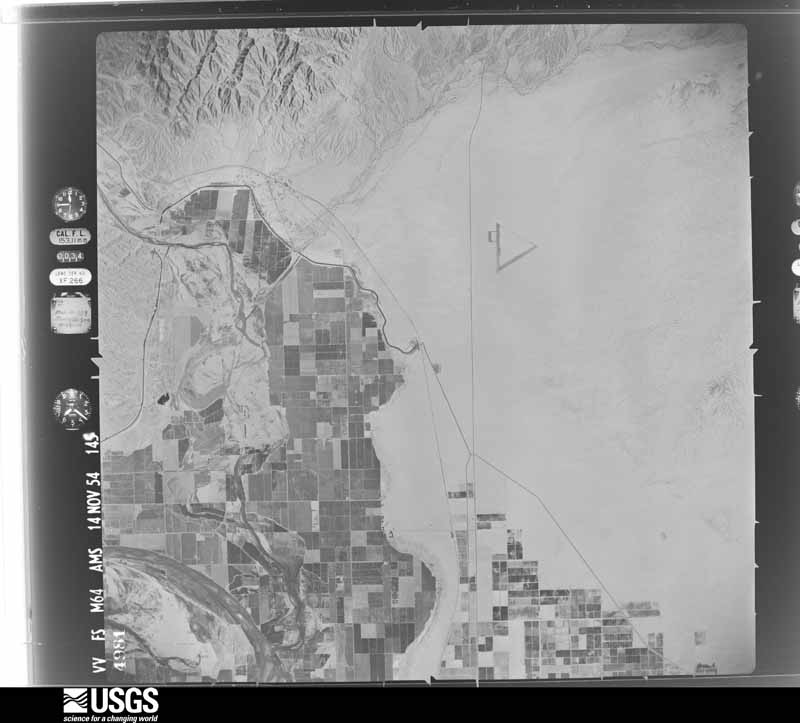
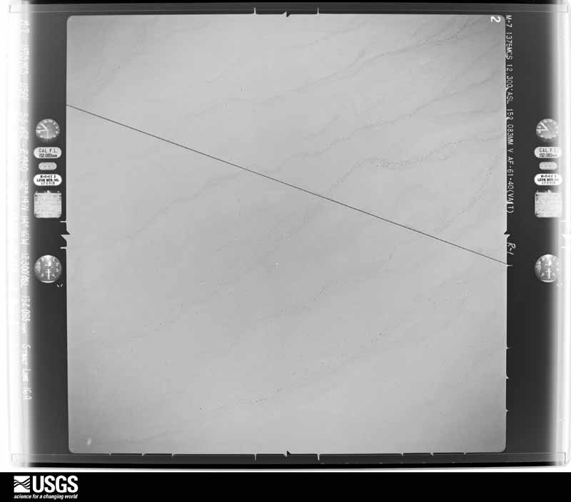
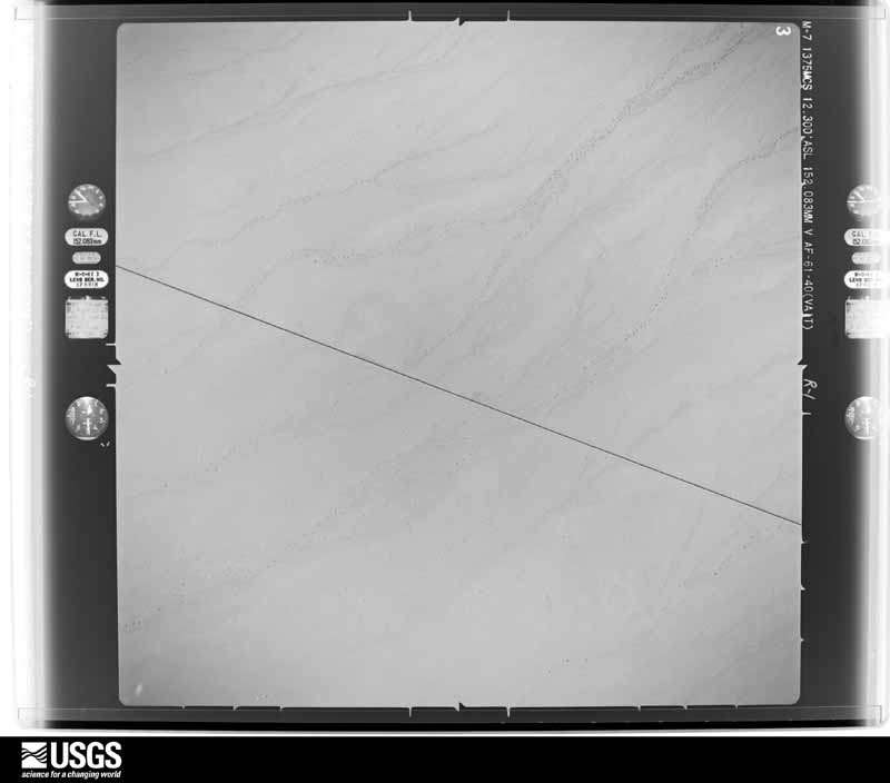
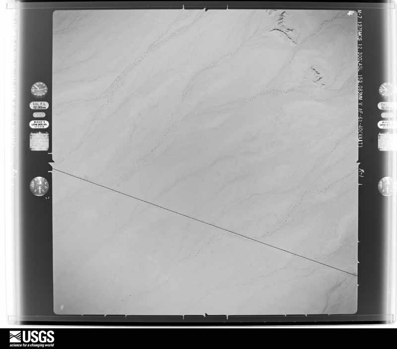
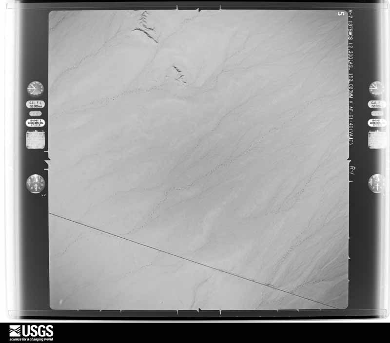
The thermometers that kept this county's weather, and the gages that measured the flow of its streams, as the federal records hold them. The extremes below are measured values from those records, not estimates.
Who lived here in 1950, one enumeration district at a time, as the Census Bureau described each district. Each row opens its official National Archives result, with Population Schedules and ED Maps available there.
Every wildfire the federal occurrence database records inside this county: 994 of them, burning about 44,010 acres. 34 started naturally and 47 were recorded as arson. Each settlement page carries the fires within five miles of it.
| Reported cause | Fires |
|---|---|
| Missing data/not specified/undetermined | 653 |
| Recreation and ceremony | 96 |
| Debris and open burning | 89 |
| Arson/incendiarism | 47 |
| Equipment and vehicle use | 35 |
| Natural | 34 |
| Smoking | 11 |
| Fireworks | 10 |
| Misuse of fire by a minor | 5 |
| Railroad operations and maintenance | 5 |
| Firearms and explosives use | 5 |
| Power generation/transmission/distribution | 3 |
| Other causes | 1 |
The five largest, by the area the report gives. One of them was set deliberately.
| Date | Cause | Size | Reported by | Name on the report |
|---|---|---|---|---|
| 1 October 2005 | Firearms and explosives use | 26,000 acres | Kofa National Wildlife Refuge | KING VALLEY |
| 19 April 1992 | Missing data/not specified/undetermined | 2,400 acres | Imperial National Wildlife Refuge | WHITEROCK |
| 12 March 2003 | Firearms and explosives use | 1,313 acres | Colorado River District | MITTRY |
| 19 April 1992 | Fireworks | 1,285 acres | Colorado River District | CA CHNL 2 |
| 16 February 2019 | Missing data/not specified/undetermined | 1,203 acres | Colorado River District | BERMUDA |
| 23 December 2014 | Missing data/not specified/undetermined | 1,110 acres | Colorado River District | WALKER |
| 18 April 2005 | Missing data/not specified/undetermined | 1,025 acres | Cabeza Prieta National Wildlife Refuge | CAMINO |
| 1 July 2001 | Arson/incendiarism | 943 acres | Arizona Department of Forestry and Fire Management - State Office | WENDEN COMPLEX |
Every settlement page carries the fires within five miles of it - see the settlement index below.
The NOAA Storm Events Database holds 339 reports for this county, causing no deaths, 14 injuries and about $21,869,530 in recorded property damage. Each settlement page carries the reports that name it.
| Kind of event | Reports |
|---|---|
| Thunderstorm Wind | 211 |
| Flash Flood | 56 |
| Hail | 22 |
| Flood | 16 |
| Heavy Rain | 15 |
| Tornado | 12 |
| Funnel Cloud | 3 |
| Lightning | 2 |
| Dust Devil | 2 |
The most serious of them, by death, then injury, then recorded damage. The accounts are quoted exactly as the forecast office filed them.
| When | Event | Place named | Harm | What the report says |
|---|---|---|---|---|
| August 1996 | Thunderstorm Wind | Dateland | 8 hurt | no account filed |
| September 1991 | Thunderstorm Wind | not stated | 2 hurt | no account filed |
| July 1989 | Thunderstorm Wind | not stated | 2 hurt | no account filed |
| August 1959 | Tornado (F2) | not stated | 1 hurt, $250,000 | no account filed |
| October 2000 | Lightning | Yuma | 1 hurt | A Yuma firefighter was struck by lightning as he was fighting a lightning-caused fire in a palm tree. The tree was struck by a bolt and the current ran down the water stream and shocked him. He was thrown back about 10 feet into a wall by the bolt. |
| August 2010 | Thunderstorm Wind | Yuma | $5,000,000 | As reported in the Yuma Sun, the Garden Landscaping Company at 830 South Orange Avenue was mostly destroyed by thunderstorm microburst winds, estimated to be near 75 knots. Damage was also reported at the O.G. RV Resort. The Yuma High School and Kofa High School sustained considerable wind and water damage. |
| September 1993 | Thunderstorm Wind | Yuma | $5,000,000 | The second severe thunderstorm to hit the Yuma area over the Labor Day weekend affected the southeast and east sections. The strong microburst winds destroyed at least three metal warehouses and blew down power lines. As many as 10 recreational vehicles were damaged at an RV resort. Damage to the warehouses was estimated to be at least $1 million. |
| August 2010 | Thunderstorm Wind | Crane | $3,000,000 | Zero visibility reported in rain along with gusty winds estimated at up to 80 mph. Damage was reported to homes and businesses with numerous trees uprooted. A huge pine tree fell on a house at the corner of 8th Avenue and 10th Street. Entire carports were torn from their foundations. A roof on a home in the 1100 block of Appaloose Lane was completely torn off of its rafters. The ceramic tiles on the top of the entrance to El Charro Cafe, 601 West 8th Street, were severely damaged. The roof of a self-serve car wash collapsed. There were several reports of car windshields broken due to flying debris. At the old Foxworth Galbraith hardward store, entire structures collapsed and lay mangled on the ground where the outdoor lumber sdection had been. |
| September 2007 | Thunderstorm Wind | (Yum)Yuma Intl Arpt | $1,500,000 | Numerous trees and as many as 11 power poles reported down due to strong winds. Peak gusts to 84 mph were recorded at the Yuma airport. Arizona Public Service reported about 9,600 people were left without power Sunday morning. Yuma Police responded to more than 120 emergency calls for service, most of which were storm related. Numerous eyewitnesses described the area around the 100 block of West 27th Place as the worst-hit section of town. Condos in that area had considerable roof damage with ceilings collapsing onto living rooms and dining rooms. Large hail and localized flooding was also reported in Yuma. |
| August 2010 | Thunderstorm Wind | Yuma | $1,000,000 | Several schools in the Yuma area, including Yuma High School, were damaged due to strong thunderstorm winds, and were closed on Friday August 27th. The old gym at Yuma High suffered roof damage, and shingles were blown off the roof of Centennial Middle School. Pecan Grove Elementary and Carver Elementary schools also reported wind damage. |
| August 2010 | Thunderstorm Wind | Crane | $1,000,000 | Spotter reports several houses damaged on May Street in Yuma. One house is uninhabitable. Most severe damage was near 23 Avenue and 5th Street. |
| July 2021 | Thunderstorm Wind | Tacna | $500,000 | Multiple photos, videos, and media coverage show considerable damage around the small rural town of Tacna due to a microburst from a strong thunderstorm. Numerous trees were downed or broken. There were several downed or snapped power poles, causing a power outage to the area. Some trees and power poles fell on residential property, causing additional damage. There was extensive damage to residences and businesses. Several homes had their roof torn off by the winds. Yuma County Sheriff's Offices and the American Red Cross Disaster Relief Unit were dispatched for search and rescue efforts and to provide assistance to impacted individuals and families. Three families reportedly received additional assistance. Shelters were set up for displaced individuals and families. Additional reported damages include four electric car charging stations, a car window being blown out by flying debris, an overturned semi-truck on I-8, and a couple stacks of thousand-pound hay bales being blown over. Wind gusts estimated around 65-75 mph based on damage reports. Timing based on radar. Fortunately, no injuries were reported. No official damage estimates provided. |
| August 2010 | Thunderstorm Wind | El Pueblecito | $500,000 | Several trees fell onto cars at 16th Street and Ave B. |
| August 2010 | Thunderstorm Wind | Yuma | $500,000 | About 30 power poles were snapped by strong microburst winds, estimated in excess of 60 kt. APS reported up to 16,660 customers were without power at the height of the storm. Many of the poles were downed in the area bounded by Avenue B to the west, 4th Avenue to the east, the Colorado River to the north, and 12th street to the south. |
| August 2020 | Thunderstorm Wind | Tonto Basin | $475,000 | A very strong storm moved through the town of Hyder, in far eastern Yuma county north of Interstate-8. The storm produced estimated wind gusts around 50-60 mph. A RAWS station 10-15 miles to the east measured a wind gust of 53 mph at 8:52 PM MST. The thunderstorm winds knocked over 63 power poles along Palomas road between Ave 64E and Agua Caliente Rd, as reported by the Yuma County Sheriff and confirmed by APS electric. APS also reported 300 customers lost power during th height of the storm. |
| July 2015 | Thunderstorm Wind | Roll | $250,000 | Strong thunderstorms developed during the afternoon hours along the Interstate 8 corridor and they affected the communities of Roll and Tacna. The storms produced gusty microburst outflow winds that were estimated to be as high as 70 mph. According to a trained weather spotter, the damaging winds led to significant damage to trees, power poles, roofs and buildings in the Roll area. The downed power poles caused a power outage that lasted for several days, according to the Wellton-Mohawk Irrigation District. At a local airfield, at least one small plane suffered substantial damage. Fortunately there were no injuries reported. |
| September 2015 | Thunderstorm Wind | (Yum)Yuma Intl Arpt | $200,000 | Scattered thunderstorms developed across southwestern Yuma county during the afternoon hours on September 8th, and some of them affected the downtown Yuma area. Due to elevated moisture and instability values, the stronger storms produced damaging microburst winds with gusts estimated as high as 70 mph. According to a report from a local utility company, damaging microburst winds downed 43 power poles just north of the Yuma International Airport, between Avenues 1E and 3E. A Severe Thunderstorm Warning was not yet in effect, but a Significant Weather Advisory had been issued for the Yuma area when the power poles were blown down. |
| August 2008 | Thunderstorm Wind | (Yum)Yuma Intl Arpt | $150,000 | Trees were uprooted and a semi trailer was turned over. A peak gust of 57 mph was measured at the Yuma airport. About 1,000 APS customers were left without power due to these thunderstorm winds. Power poles were blown down in the Mohawk area. |
| September 2008 | Thunderstorm Wind | Somerton | $150,000 | Somerton police reported power lines down due to very strong winds from thunderstorms. At the peak of the storm, between 2,500 and 3,000 APS customers were without power. A large tree in the 3300 block of 15th Avenue in The Dunes subdivision was knocked down. Power outages were also reported on the Cocopah Reservation at County 18th Street and Avenue D and in the north end of the city of Yuma. |
| May 2012 | Thunderstorm Wind | (Yum)Yuma Intl Arpt | $120,000 | An upper level low pressure system moved south and into southwest Arizona during the afternoon and evening on May 7th, and some mid level moisture moved in with the upper low. The atmosphere became unstable, and virga showers developed in the Yuma area shortly after midnight. Strong and gusty winds developed in the vicinity of the virga, estimated to be in excess of 50 knots. According to the Yuma Police, at 140 AM on the 8th, 14 power poles were downed at County 14th Street and Avenue 2E in the Tierra Mesa subdivision. In addition, fence and barn roof damage was reported near County 16th Street and Avenue A. There was no indication of thunderstorms in the Yuma area overnight, and no lightning was observed. However, the atmospheric conditions allowed the gusty winds to take on the characteristics of a damaging microburst. |
| September 2015 | Flash Flood | Gadsden | $100,000 | Scattered thunderstorms affected community of Yuma as well as surrounding communities such as Somerton during the late afternoon and evening hours on September 8th. Due to elevated moisture values, partially a result of tropical moisture from Hurricane Linda starting to move into southern Arizona, the stronger storms produced very heavy rainfall with peak rain rates in excess of 2 inches per hour. A trained spotter 3 miles northeast of Somerton measured 4.6 inches of rain within 2 hours ending at 1900MST. The heavy rain led to flash flooding in the Yuma area and resulted in the issuance of a Flash Flood Warning at 1802MST. At 2000MST, local broadcast media reported that people were leaving flooded houses south of highway 95 between Joshua Street and Bingham Avenue. The flash flooding took place about 1 mile southeast of the town of Somerton. Fortunately there were no injuries reported due to the flooding. |
| August 2010 | Thunderstorm Wind | (Yum)Yuma Intl Arpt | $100,000 | A trained spotter reported a measured thunderstorm wind gust at 71 mph. The strong thunderstorm microburst winds damaged some Palo Verde trees. |
| July 2009 | Thunderstorm Wind | El Pueblecito | $100,000 | Thunderstorm winds created a huge dust storm that affected much of the Yuma area with near zero visibility. Wind speeds were estimated to be over 60 mph, with consderable damage to property. At least one home was damaged, with trees and power lines downed by strong winds. During the peak of the storm, 5,200 customers were without power. The Yuma airport recorded a peak gust of 48 mph just before 5 PM. |
| July 2008 | Heavy Rain | (Yum)Yuma Intl Arpt | $100,000 | Heavy rain caused some damage to the Hospice Thrift Store in Yuma. Several businesses at Southgate Mall reported damage due to standing water. A new daily rainfall record, 0.74 inches, was set at the Yuma Marine Corps Air Station. |
| September 2019 | Thunderstorm Wind | Martinez Lake | $75,000 | Isolated thunderstorms developed across the southwest deserts, to the northeast of Yuma and to the east of the lower Colorado River valley, during the evening hours on September 4th. The stronger storms generated very powerful outflow winds; a relatively nearby mesonet gage near the Middle Mountains measured a gust to 68 mph at 1912MST. According to a report from the public, at 1936MST winds gusts estimated to be as high as 70 mph blew down 7 power poles in the Yuma Proving Grounds about 26 miles northwest of the town of Ligurta. Numerous additional poles were bent over and leaning at an angle in the proving grounds. There were no reports of injuries fortunately. |
| September 2017 | Thunderstorm Wind | El Pueblecito | $75,000 | Scattered thunderstorms developed in the city of Yuma during the afternoon hours on September 8th, and one of the stronger storms produced gusty and damaging microburst winds estimated to be as high as 70 mph. According to the local APS utility company and relayed through a trained weather spotter, gusty microburst winds downed 9 power poles at the Yuma Palms Mall. Some of the downed poles trapped people in their cars; fortunately no injuries were reported. |
| August 2011 | Thunderstorm Wind | El Pueblecito | $75,000 | Scattered strong thunderstorms moved across the community of Yuma during the late evening hours on August 27th. The storms produced gusty and damaging winds estimated to be in excess of 60 mph. According to Yuma law enforcement personnel, numerous large trees and power poles were blown down across the city. No injuries were reported due to the damaging winds. |
| August 2022 | Thunderstorm Wind | Blaisdell | $70,000 | Numerous images of microburst wind damage in the Fortuna Foothills area. Trees were uprooted, brick walls toppled, sheet metal carports destroyed, shingles of roofs were ripped off, downed power poles including a wooden pole that snapped and fell on a carport, a semi-truck trailer flipped on its side, broken window, a garage door blown in, and many other minor damages. The damage may have been caused by multiple microbursts. Timing estimated from radar. Winds were estimated at 55-60 mph. No injuries were reported. |
| August 2017 | Thunderstorm Wind | Wellton | $70,000 | Thunderstorms developed to the east of Yuma, and close to the town of Wellton, during the afternoon hours on August 3rd. Some of the stronger storms produced gusty and damaging microburst winds. According to local law enforcement, at 1615MST, 5 power poles were blown down about 5 miles to the west of Wellton and just north of Interstate 8. At the same time, a trained spotter reported several power poles down slightly further to the west, about 4 miles to the east of the town of Ligurta. The poles were located along Avenue 24. The microburst wind gusts that downed the poles were estimated to be as high as 70 mph. |
| May 2023 | Flood | Stoval | $50,000 | Continued releases from Painted Rock Dam led to prolonged elevated flows traveling down the Gila River through Yuma County. As a result, numerous downstream unbridged river crossings in Yuma County remained impassable due to flooding. These unbridged crossings remained closed through the month of May. According to local media reports, Yuma County Public Works reported that 14 unbridged crossings, which include Roll Road (paved) and 13 dirt roads, sustained damage due to the prolonged elevated flows in the river. |
| June 2022 | Dust Devil | Araby | $50,000 | A strong dust devil developed and moved northward in an urbanized sector of Fortuna Foothills just east of Yuma, causing extensive property damage. There were social media images of roofs torn off, roofing tiles blown off, a brick wall collapsing, trees uprooted and massive debris hitting power lines, knocking power out to 2022 customers. The dust devil tracked northward between 10E and 36th Street and South Payson Drive to South Fontage Road near I-8. No injuries were reported. |
| August 2014 | Thunderstorm Wind | Blaisdell | $50,000 | Strong thunderstorms developed across portions of southwest Arizona during the evening hours on August 11th, and some of them affected the community of Fortuna Foothills to the east of Yuma. The stronger storms generated gusty damaging microburst winds in excess of 60 mph. According to trained weather spotter about 2 miles northwest of the Fortuna Foothills, thunderstorm wind gusts measured at 65 mph caused patio roof damage to his home. Additionally, a local broadcast media report indicated that thunderstorms winds caused extensive damage to trailers in Fortuna Foothills. No injuries were reported however. |
| September 2007 | Hail | Yuma | $50,000 | Large hail was reported by the public in Yuma. |
| July 2005 | Thunderstorm Wind | Yuma | $50,000 | About 34 power poles down near County Road 13 leaving 1,000 customers without power. |
| August 2005 | Thunderstorm Wind | Yuma | $50,000 | Trees and utility power poles were blown down by storm winds. Arizona Public Service Company reported 30 power poles were blown down. |
| May 1994 | Thunderstorm Wind | Wellton | $50,000 | A thunderstorm-induced microburst destroyed two trailers, blew down eight power poles and a large tree, and flattened an alfalfa field. Power to the Wellton-Mohawk Valley was out for about six hours. |
| September 1993 | Thunderstorm Wind | Yuma | $50,000 | Thunderstorm winds ripped a roof off of a mobile home, downed power poles, and blew down a few trees. Power was out to some customers for up to 29 hours. |
| August 2012 | Thunderstorm Wind | Dome | $45,000 | Isolated thunderstorms developed in the area around Yuma during the afternoon hours on August 12th. Due to the excessive heat and the relatively dry character of the atmosphere, the storms were able to generate strong, gusty and damaging microburst winds. According to a trained weather spotter, at 428 pm wind gusts estimated to be at least 60 knots caused 6 power poles to be blown down near county 6th Street and Avenue 18E. This location was approximately 4 miles east of Kinter. |
| August 2018 | Flash Flood | Ligurta | $40,000 | Thunderstorms with intense rainfall developed over portions of southern Yuma County, including the Interstate 8 corridor east of Yuma, during the late afternoon and early evening hours on August 16th. At 1640MST a trained spotter 5 miles southwest of Wellton reported 0.8 inches of rain within 15 minutes. The heavy rain, with peak rain rates over 3 inches per hour, caused traffic on Interstate 8 to stop. Shortly thereafter, at 1714MST the public reported that the on and off ramps to Interstate 8 as well as underpasses were submerged and flooded. This occurred about 3 miles southeast of Ligurta or just to the south of the Dome Valley. The flooded underpasses were not far from where the heavy rainfall report was taken along Interstate 8. A Flash Flood Warning was issued for the area at 1630MST and it remained in effect through 1930MST. No accidents or injuries were reported due to the flooding and hazardous driving conditions. |
| September 2011 | Thunderstorm Wind | Blaisdell | $40,000 | Thunderstorms with strong damaging winds moved through the Yuma area during the afternoon hours on September 5th. A trained weather spotter located 5 miles north of the Fortuna Foothills reported that a box truck was blown over on Highway 95 just south of the Gila river. The wind gusts were estimated to be in excess of 50 knots. In addition, the strong microburst winds leveled an outbuilding. |
| September 2011 | Thunderstorm Wind | Araby | $32,000 | Isolated strong thunderstorms developed in the Yuma area during the afternoon hours on September 12th, and they produced gusty and damaging microburst winds. According to the Park manager at 5201 E US highway 95, strong winds blew down two big trees which fell on a large building full of equipment and stored materials. This caused an estimated 30,000 dollars of damage to the building, fencing and equipment. In addition, the front sign that showed where trailers were located was damaged. |
| September 2025 | Flash Flood | Laguna | $30,000 | Imperial Dam Road between the Walker and Howard Gates at the Yuma Proving Ground Naval Base was closed for several days due to major road erosion from flash flooding. Flood timing estimated from radar. No injuries reported. |
| August 2017 | Thunderstorm Wind | Tacna | $30,000 | Thunderstorms developed across portions of southwest Yuma County during the afternoon hours on August 3rd, and some of them affected the town of Tacna along Interstate 8. Some of the stronger storms generated gusty and damaging microburst winds estimated to be as high as 70 mph. According to a trained spotter about 2 miles southwest of Tacna, at 1605MST strong winds flipped several small trailers south of Interstate 8 near the intersection of 11th Street and Avenue 39. No injuries were reported as a result of the damage. |
| August 2017 | Thunderstorm Wind | Tacna | $30,000 | Thunderstorms developed to the east of Yuma, and near the town of Tacna, during the afternoon hours on August 3rd. Some of the stronger storms produced gusty and damaging microburst winds which were estimated to be as high as 70 mph. According to a trained spotter less than one mile north of Tacna, several power poles were downed near Avenue 40. No cross streets were given. No injuries were reported. |
| September 2009 | Heavy Rain | Colfred | $30,000 | Heavy rain hit Tacna with one inch in 30 minutes. Minor street flooding was reported in town, while roads Avenue 16E in the Dome Valley was washed out. At least one business in Wellton was damaged by flooding. The official amount at the Yuma airport was 1.62 inches. |
| July 1999 | Thunderstorm Wind | Yuma | $30,000 | Unknown number of power poles and lines down. |
| August 1997 | Thunderstorm Wind | Dateland | $27,000 | Strong thunderstorm winds damaged a school, a storage building, and several porches and awnings. AC units and awnings at the school sustained $7,000 damage and residential areas sustained $20,000 total damage. |
| August 2013 | Thunderstorm Wind | El Pueblecito | $25,000 | Thunderstorms developed across far southwest Arizona during the afternoon hours on August 22nd and they affected the community of Yuma. The storms produced strong, gusty and damaging winds estimated to be in excess of 60 mph. A trained weather spotter 2 miles northwest of Yuma reported that power lines were blown down near Interstate 8, approximately at the intersection of Araby Street. In addition, a trailer truck was blown over at Araby Street and East 24th Street. Although a Severe Thunderstorm Warning was not in effect, there was a Significant Weather Advisory issued at 1700MST for Yuma which ran until 1800MST. |
| August 2013 | Flash Flood | Ligurta | $25,000 | Copious amounts of moisture spread north and into southwest Arizona on August 24th, ahead of dissipating former tropical storm Ivo. This led to a very moist and unstable airmass and scattered thunderstorms developed in the Yuma area during the evening hours. Locally heavy rain occurred, and radar indicated rain rates in excess of one inch per hour at times. The rain led to flooding and flash flooding of streets and washes in communities such as Yuma and the Fortuna Foothills. According to a trained weather spotter 2 miles east of the Fortuna Foothills, there was evidence of major flash flooding across county road 15E about 2 miles south of Interstate 8 during the evening hours. The report from the spotter was actually received around 1100MST on August 25th. Although a Flash Flood Warning was not in effect for the Yuma area during this event, an Urban and Small Stream Flood Advisory had been issued at 1900MST and it continued until 2130MST. No reports of accidents or injuries were received due to the flooding. |
| August 2010 | Thunderstorm Wind | Yuma Proving Ground | $25,000 | Strong thunderstorm downburst winds knocked down several power poles 8 miles east of the Yuma Proving Ground. The winds were measured at 55 kt. Locally heavy rain occurred with the storms; 0.70 inches of rain was measured. |
| July 2006 | Thunderstorm Wind | Tacna | $25,000 | Power poles down and sheds blown over. |
| September 1972 | Tornado (F1) | not stated | $25,000 | no account filed |
| August 2021 | Thunderstorm Wind | Tacna | $20,000 | Numerous power poles were blown down along Avenue 40 E between E County 6th Street and E County 8th Street. No injuries were reported. |
| August 2014 | Thunderstorm Wind | El Pueblecito | $20,000 | Thunderstorms developed across southwest Arizona during the afternoon hours on August 21st, and some of them affected the community of Yuma. The stronger storms produced gusty and damaging outflow winds estimated to be at least 60 mph at times. According to an amateur radio operator, multiple power lines were downed in town between 1645MST and 1700MST. As reported by the Yuma Fire Department, there were downed power lines at the intersection of Arizona Avenue and 26th Street. The amateur radio operator also indicated that street lights were off across the city of Yuma, due to the downed power lines. |
| September 2012 | Thunderstorm Wind | Blaisdell | $20,000 | A cluster of slow moving and very intense thunderstorms developed across far southwest Arizona during the afternoon hours on September 9th, and they affected the city of Yuma as well as surrounding communities such as Fortuna Foothills. The storms developed strong, gusty and damaging microburst winds measured in excess of 60 mph. According to a trained weather spotter in the Fortuna Foothills, Interstate 8 was closed from Avenue 3E to Foothills Boulevard due to downed power lines. The closure took place at 515 pm. In addition, an amatuer radio operator 7 miles east of Yuma reported power lines down at 510 pm. The winds that blew down the power lines were estimated to be at least 60 mph. There were no reports of power poles blown down, however. |
| July 2009 | Thunderstorm Wind | Wellton | $20,000 | Several power poles were downed due to strong thunderstorm winds. |
| September 2009 | Lightning | Yuma | $20,000 | Lightning struck a home near highway 95 and 5E, resulting in a fire. A haystack caught fire at Avenue 30E and County 8th Street after it was struck by lightning. |
| September 2009 | Thunderstorm Wind | Roll | $20,000 | Power outage reported by Wellton Irrigation District lasted about 4 hours. Dome had a power outage beginning at 2:30 pm, lasting about 3 hours. Trees were uprooted and power poles were damaged. |
| August 2006 | Thunderstorm Wind | Yuma Proving Ground | $20,000 | Power lines down and some equipment damaged by strong winds. |
| September 2006 | Thunderstorm Wind | Yuma Proving Ground | $20,000 | A roof was damaged by very strong winds, and heavy rain washed out some dirt roads. Small hail was also reported. |
The Survey's mineral resources record lists 527 workings inside this county. 9 still produce and 518 are closed or unrecorded. Each settlement page carries the workings within five miles of it.
| Commodity | Workings |
|---|---|
| Geothermal | 231 |
| Gold | 72 |
| Gold, Silver | 32 |
| Copper | 30 |
| Lead, Silver | 30 |
| Silver | 25 |
| Copper, Gold | 14 |
| Manganese | 12 |
| Fluorine-Fluorite | 11 |
| Silver, Lead | 10 |
| Mica | 10 |
| Iron | 8 |
| Sand and Gravel, Construction | 8 |
| Copper, Gold, Silver | 8 |
The least common of them first, because a county's hundredth gravel pit says nothing its first ten did not.
| Where | Site | Commodity | Status | Recorded |
|---|---|---|---|---|
| Adams Mine Group | Lead, Silver, Gold, Copper, Fluorine-Fluorite, Vanadium, Molybdenum | Past Producer | Vein | |
| Adams Mine Group | Fluorine-Fluorite, Lead, Silver, Copper, Molybdenum, Vanadium | Past Producer | ||
| Annie | Barium-Barite, Silver, Zinc, Lead, Copper, Gold | Past Producer | ||
| Annie Mine | Lead, Silver, Gold, Copper, Barium-Barite, Zinc | Past Producer | Galena, Limonite, Malachite, Sphalerite | |
| Arizona Lead Co Mill | Fluorine-Fluorite, Lead, Stone | Past Producer | ||
| Aztec Quarry | Sand and Gravel, Construction, Stone, Crushed/Broken | Producer | ||
| Bettylee Mine | Gold, Copper, Silver, Iron, Molybdenum, Vanadium, Uranium | Past Producer | Chrysocolla, Hematite, Malachite | |
| Big Dome Prospect | Lead, Zinc, Fluorine-Fluorite | Past Producer | Vein | |
| Big Eye, Outlook, and Lookout Mines | Silver, Gold, Zinc, Lead, Copper | Past Producer | ||
| Buckeye Vein Group | Lead, Silver, Zinc, Gold, Molybdenum, Fluorine-Fluorite, Vanadium, Copper, Barium-Barite | Past Producer | Vein | |
| Bunker Hill | Lead, Silver, Copper, Gold | Past Producer | ||
| Cleveland-Chicago Group | Silver, Lead, Gold, Zinc, Copper, Molybdenum, Barium-Barite, Fluorine-Fluorite | Past Producer | Vein | |
| Colorada Group | Lead, Silver, Fluorine-Fluorite, Molybdenum, Barium-Barite | Past Producer | Vein | |
| Copper Glance Mine | Silver, Copper, Gold, Zinc, Lead | Past Producer | ||
| Diana Railroad Claim | Silver, Vanadium, Lead, Zinc, Copper, Fluorine-Fluorite | Occurrence | ||
| Dome Clinoptilolite | Zeolites, Bentonite | Occurrence | Bentonite, Clinoptilolite | |
| Evening Star Mine | Gold, Silver, Tungsten | Past Producer | ||
| Flora Temple Claim | Lead, Silver, Fluorine-Fluorite, Copper, Molybdenum, Vanadium, Barium-Barite, Zinc | Past Producer | 1871, 1949 | |
| Fortuna Mine Area | Mica, Kaolin, Gypsum-Anhydrite | Occurrence | Muscovite, Sericite | |
| Golden Queen Mine | Gold, Silver, Copper, Iron, Manganese, Gypsum-Anhydrite | Past Producer | 1937 | |
| Haack Mine Group | Lead, Silver, Zinc, Barium-Barite, Copper, Fluorine-Fluorite | Past Producer | ||
| Jude Mine Group | Gold, Iron, Silver | Occurrence | ||
| Keystone | Silver, Manganese, Copper, Zinc | Prospect | ||
| La Colorado Mine | Lead, Silver, Fluorine-Fluorite, Barium-Barite, Molybdenum, Copper | Past Producer | 1901, 1949 | |
| Ligurta Area | Niobium (Columbium), Tantalum, REE | Occurrence | ||
| Mable | Fluorine-Fluorite, Lead, Silver, Barium-Barite, Vanadium, Molybdenum | Past Producer | ||
| Mable Mine | Lead, Silver, Copper, Gold, Vanadium, Molybdenum, Barium-Barite, Fluorine-Fluorite | Past Producer | 1925, 1936 | |
| Marble Gully | Marble, Dimension | Past Producer | Marble | |
| Mcmahan Prospect | Copper, Lead, Iron, Molybdenum | Occurrence | Vein | |
| Midnight Mine | Tungsten, Gold, Lead | Past Producer | ||
| Muggins Mtns Bentonite | Bentonite | Unknown | ||
| Oakland Mine | Iron, Gold, Silver | Past Producer | ||
| Own Crews | Stone, Crushed/Broken | Producer | ||
| Red Knob Mine | Vanadium, Uranium, Molybdenum, Copper, Lead | Occurrence | Cuprite, Uranophane, Vanadinite, Wulfenite | |
| Renner Mine | Barium-Barite, Fluorine-Fluorite, Silver | Past Producer | 1929 | |
| Rialto Group | Lead, Copper, Silver, Fluorine-Fluorite, Gold, Molybdenum, Vanadium, Barium-Barite | Past Producer | Fluorite, Mimetite, Vanadinite, Wulfenite | |
| Sheep Claim Mine | Gold, Lead, Iron | Past Producer | Vein | |
| Sheep Tanks Mine | Silver, Barium-Barite, Copper, Gold, Lead, Manganese, Beryllium | Past Producer | ||
| Silver Prince Mine | Lead, Silver, Copper, Fluorine-Fluorite, Barium-Barite | Past Producer | Vein | |
| Smith Mine | Copper, Silver, Gold, Iron, Molybdenum | Past Producer | Chrysocolla, Gold, Hematite | |
| Sonora Mine | Silver, Lead, Fluorine-Fluorite, Barium-Barite | Past Producer | Barite, Fluorite | |
| Sphinx of Ariz | Silver, Gold, Lead, Copper | Past Producer | ||
| Tungsten Mine Group | Tungsten, Gold, Silver, Copper, Lead | Past Producer | ||
| Unidentified Fluorspar Occurrence | Fluorine-Fluorite, Calcium, Lead | Occurrence | Calcite, Fluorite | |
| Unknown | Copper, Lead, Silver, Gold | Past Producer | ||
| Unknown | REE, Thorium | Occurrence | ||
| Unknown | Mica, Uranium, Thorium | Occurrence | ||
| Unknown | Niobium (Columbium), Tantalum | Occurrence | ||
| Unknown | Gold, Lead, Silver | Past Producer | ||
| Unnamed Mine | Lead, Molybdenum, Silver | Occurrence | Vein | |
| Unnamed Mine | Silver, Lead, Barium-Barite, Gold, Copper, Molybdenum, Fluorine-Fluorite | Occurrence | Vein | |
| Unnamed Prospect | Copper, Iron, Lead, Molybdenum | Occurrence | Unknown | |
| Unnamed Prospect | Silver, Gold, Copper | Occurrence | Vein | |
| Yellow Breast Prospect | Lead, Fluorine-Fluorite, Silver, Molybdenum | Occurrence | Vein | |
| Yellow Breast Prospect | Lead, Molybdenum, Fluorine-Fluorite | Prospect | ||
| Actinolite Asbestos | Asbestos | Prospect | ||
| Actinolite Prospects | Asbestos | Occurrence | Actinolite | |
| Bill Taft Mine | Gold, Copper, Iron | Past Producer | Vein | |
| Bonanza | Silver, Fluorine-Fluorite, Lead | Past Producer | ||
| Castle Dome Occurrence | Gypsum-Anhydrite | Occurrence | Sedimentary | |
| Cemetery Ridge Prospects | Gold, Copper, Silver | Unknown | ||
| Colorada Group | Silver, Fluorine-Fluorite, Lead | Past Producer | ||
| De Luce Claims | Lead, Silver, Fluorine-Fluorite, Calcium, Barium-Barite | Past Producer | Vein | |
| Double Eagle Mine | Gold, Copper, Silver | Past Producer | Vein | |
| Draghi Prospect | Copper, Silver, Gold | Past Producer | Chrysocolla, Hematite | |
| England Mine | Gold, Iron, Copper | Occurrence | Vein | |
| Fortuna Mine | Gold, Silver, Iron, Copper | Past Producer | 1895, 1896 | |
| Haack Mine Group | Lead, Silver, Fluorine-Fluorite, Molybdenum, Zinc, Barium-Barite | Past Producer | Vein | |
| La Fortuna Mine | Gold, Silver, Copper, Iron | Past Producer | 1895, 1896, 1941 | |
| Little Dome Mine | Lead, Silver, Fluorine-Fluorite, Barium-Barite, Molybdenum | Past Producer | Anglesite | |
| Mormon Bishop No 2 | Silver, Copper, Gold | Past Producer | ||
| Nayal Black Hawk | Lead, Silver, Fluorine-Fluorite | Past Producer | ||
| Poorman Prospect | Gold, Silver, Molybdenum | Past Producer | Gold | |
| Rasmussen | Copper, Silver, Gold | Occurrence | Vein | |
| Renner Barite Mine | Barium-Barite, Silver, Fluorine-Fluorite | Past Producer | 1929, 1930 | |
| Senora Mine Group | Lead, Silver, Fluorine-Fluorite, Molybdenum, Zinc, Barium-Barite | Past Producer | Vein | |
| Strong Claims | Silver, Lead, Fluorine-Fluorite, Calcium, Barium-Barite | Past Producer | Vein | |
| Unknown | Copper, Gold, Lead, Silver | Past Producer | ||
| Unknown | Gypsum-Anhydrite | Occurrence | ||
| Unknown | Copper, Gold, Lead, Silver | Past Producer | ||
| Unnamed Prospect | Silver, Copper, Gold | Occurrence | Vein | |
| Castle Dome Plain Clinoptilite | Zeolites | Past Producer | ||
| India Prospect | Gold, Silver, Copper, Iron, Manganese | Past Producer | Vein | |
| Muggins Mountains | Zeolites | Occurrence | Clinoptilolite | |
| Pandino Mine | Gold, Silver, Copper, Iron, Manganese | Past Producer | Vein | |
| Silver Prince Mine | Lead, Silver, Copper, Gold, Fluorine-Fluorite, Barium-Barite | Past Producer | ||
| Sonora Mine Group | Silver, Lead, Fluorine-Fluorite, Barium-Barite | Past Producer | ||
| Traeger Prospect | Gold, Silver, Copper, Iron, Manganese | Past Producer | Vein | |
| Unknown | Tungsten | Prospect | ||
| Unknown | Zeolites | Occurrence | ||
| Grady and Standard | Gold, Silver, Copper | Past Producer | ||
| Last Chance and Copper Coin Mines | Copper, Silver, Gold | Past Producer | ||
| Old Jack | Gold, Silver, Copper | Past Producer | ||
| Old Soak | Gold, Silver, Copper | Past Producer | Vein | |
| Sylveda | Copper, Lead, Silver | Past Producer | ||
| Unknown | Copper, Lead, Silver | Past Producer | ||
| Unknown | Silver, Gold | Past Producer | ||
| Unknown | Copper, Lead, Silver | Past Producer | ||
| Unknown | Copper, Lead, Silver | Past Producer | ||
| Unnamed Prospect | Gold, Silver, Copper, Iron | Occurrence | Vein | |
| Red Cross Mine | Silver, Lead, Gold, Copper | Past Producer | ||
| Unknown | Fluorine-Fluorite, Lead | Occurrence | ||
| Baker Peak Barite | Barium-Barite | Unknown | ||
| Baker Peak Barite Prospect | Barium-Barite | Occurrence | Barite | |
| Camp Creek Prospect | Gold, Copper, Iron | Occurrence | Vein | |
| Naval Group | Lead, Silver, Fluorine-Fluorite, Barium-Barite | Past Producer | Vein | |
| Unnamed Prospect | Gold, Copper | Occurrence | Vein | |
| Cleveland-Chicago | Fluorine-Fluorite, Lead, Silver | Past Producer | ||
| Days End | Uranium | Unknown | ||
| Dizzy Lizzie | Uranium | Unknown | ||
| Double Eagle Mine | Gold, Copper, Silver | Past Producer | ||
| Draghi | Gold, Copper, Silver | Past Producer | ||
| Flora Temple | Fluorine-Fluorite, Lead, Silver | Past Producer | ||
| Frisco, Betty Lee, and Ella J Mines | Gold, Copper, Silver | Past Producer | ||
| Isley Dillard Group | Uranium | Occurrence | ||
| Las Flores Mine Group | Gold, Copper, Silver, Manganese | Past Producer | ||
| Mcmillan Prospect | Copper, Uranium | Occurrence | Vein | |
| New Chance | Copper, Silver | Past Producer | ||
| Painter | Copper, Silver | Past Producer | ||
| Red Knors Claims | Uranium | Unknown | ||
| Rialto Group | Fluorine-Fluorite, Lead, Silver | Past Producer | 1863 | |
| St Louis Group | Uranium | Prospect | ||
| Strong Claims | Fluorine-Fluorite, Lead, Silver | Past Producer | ||
| Unknown | Uranium | Unknown | ||
| Vec | Fluorine-Fluorite, Lead, Silver | Past Producer | ||
| White Giant No 1 | Copper, Silver | Past Producer | ||
| Adair Park Pit | Sand and Gravel, Construction | Producer | ||
| Belle Mackeever Prospect | Gold, Iron | Occurrence | Vein | |
| Bryan Mountain Prospect | Copper, Iron | Occurrence | Vein | |
| Collins Prospect | Copper, Gold, Silver | Occurrence | ||
| Foothills Sand and Gravel | Sand and Gravel, Construction | Producer | ||
| Fortuna Wash Pit | Sand and Gravel, Construction | Producer | ||
| Golden Eagle | Gold, Iron | Unknown | ||
| Jude Mine | Gold, Silver, Iron | Past Producer | Vein | |
| La Suerta | Copper, Gold, Silver | Past Producer | ||
| Lookout | Copper, Gold, Silver | Past Producer | ||
| McKay Prospect | Gold, Copper, Iron | Occurrence | Gold, Hematite | |
| Oakland Mine | Gold, Silver, Iron | Past Producer | Vein | |
| Red Bird Prospect | Copper, Gold, Silver | Occurrence | ||
| Roll Pit & Plant | Sand and Gravel, Construction | Producer | ||
| Thumb Butte | Copper, Gold, Silver | Past Producer | ||
| Unknown | Copper, Gold, Silver | Past Producer | ||
| Unknown | Copper, Gold, Silver | Past Producer | ||
| Unknown | Copper, Gold, Silver | Past Producer | ||
| Valenzuela Pit | Sand and Gravel, Construction | Producer | ||
| Yuma County Pit & Plant #2 | Sand and Gravel, Construction | Past Producer | ||
| Yuma County Plant & Pit #1 | Sand and Gravel, Construction | Producer | ||
| Yuma Plant & Pit #11 | Sand and Gravel, Construction | Producer | ||
| Cabeza Prieta Mountains Mica | Mica | Occurrence | ||
| Kofa Butte Mine | Mica | Occurrence | Mica, Muscovite | |
| Lead King | Silver, Lead | Past Producer | ||
| Little Dome Mine | Silver, Lead, Fluorine-Fluorite | Past Producer | ||
| Minot | Silver, Lead | Past Producer | ||
| Montgomery | Mica | Prospect | ||
| Red Cross Mine | Silver, Lead, Copper, Gold | Past Producer | Vein | |
| Schullenbacker Mica Mines | Mica | Past Producer | ||
| Unidentified Muscovite Occurrence | Mica | Occurrence | Metamorphic | |
| Unknown | Mica | Occurrence | ||
| Unknown | Silver, Lead | Past Producer | ||
| Unknown | Mica | Past Producer | ||
| Unknown | Mica | Occurrence | ||
| Unknown | Silver, Lead | Past Producer | ||
| Castle Dome District | Lead, Silver, Fluorine-Fluorite | Past Producer | VEINS | |
| Black Hawk Mine | Manganese | Occurrence | ||
| Black Joe Mine | Manganese | Past Producer | ||
| Black King Mine | Manganese | Unknown | ||
| Gibson Manganese Mine | Manganese | Past Producer | ||
| Keystone Mine | Silver, Manganese | Past Producer | Vein | |
| King of Arizona Mine | Gold, Silver, Manganese | Past Producer | 1896, 1897 | |
| Martin Manganese | Manganese | Occurrence | ||
| Unnamed Mn Occurrence | Manganese | Occurrence | ||
| Unnamed Prospect | Copper, Manganese | Occurrence | Specularite | |
| Wood'sManganese | Manganese | Occurrence | ||
| Yuma County Mn Deposits | Manganese | Past Producer | 1928 | |
| Antiguo Gold and Copper Co | Copper, Gold | Occurrence | ||
| Blodgett Prospect | Copper, Gold | Prospect | ||
| McKay Prospect | Copper, Gold | Occurrence | ||
| Mcphall Prospect | Copper, Gold | Occurrence | Vein | |
| Mcphaul Prospect | Copper, Gold | Occurrence | ||
| Old Soak | Copper, Gold | Occurrence | ||
| Prohoroff-Van Landingham Prospect | Copper, Gold | Past Producer | ||
| Unknown | Lead, Silver, Copper, Gold | Past Producer | ||
| Unnamed Prospect | Copper, Gold | Occurrence | Vein | |
| Venegas | Copper, Gold | Occurrence | Vein | |
| Iron Wood Mine | Gold, Silver, Copper | Past Producer | ||
| Kofa Gold Placers | Gold, Silver | Past Producer | ||
| La Paz District | Gold, Silver | Past Producer | 1862 | |
| Laguna Dam Placers and Prospects | Gold, Silver | Past Producer | ||
| Laguna Placers | Gold, Silver | Past Producer | Gold, Silver | |
| Las Flores Placers | Gold, Silver | Past Producer | Gold, Silver | |
| Las Flores Placers | Gold, Silver | Past Producer | ||
| Mcphaul Placers | Gold, Silver | Unknown | ||
| Norma | Silver | Past Producer | ||
| North Star Mine | Gold, Silver | Past Producer | 1906, 1907 | |
| Poorman Mine | Gold, Silver | Past Producer | ||
| Quartette Mine | Gold, Silver, Copper | Past Producer | ||
| Rob Roy Mine | Gold, Silver | Past Producer | ||
| Sw Muggins Mtns Gold Placers | Gold, Silver | Past Producer | ||
| Tavasci | Silver | Past Producer | ||
| Vinegaroon Wash Gold Placers | Gold, Silver | Past Producer | ||
| 81 Mine | Lead, Silver | Past Producer | ||
| Big Dome Senora Promontorio Group | Lead, Silver | Past Producer | ||
| Bill Taft Group | Gold, Copper | Occurrence | ||
| Blodgett Prospect | Gold, Copper | Past Producer | Vein | |
| Blue Butte Prospect | Copper | Occurrence | Vein | |
| Camp Creek Prospect | Gold, Copper | Occurrence | ||
| Donaldson Claims | Copper | Unknown | ||
| Donaldson Prospect | Copper | Occurrence | Vein | |
| Engles, Adams Mine | Copper | Past Producer | Replacement | |
| Eva Ann | Lead, Silver | Past Producer | ||
| Golden Harp Mine | Gold, Copper | Past Producer | 1898 | |
| Johnnie Lead | Lead, Silver | Past Producer | ||
| La Colorada Group | Lead, Silver | Past Producer | ||
| Lucky Strike Prospect | Gold, Copper | Occurrence | ||
| Northern Prospect | Copper | Occurrence | Vein | |
| Ophir | Lead, Silver | Past Producer | ||
| Parker Claim | Copper | Occurrence | ||
| Purisima | Lead, Silver | Past Producer | ||
| Rainbow and Valley | Copper | Prospect | ||
| Ruby Prospect | Copper | Occurrence | Vein | |
| Ruth Ann | Lead, Silver | Past Producer | ||
| Shirley Mae Prospect | Copper | Occurrence | Vein | |
| Unknown | Lead, Silver | Past Producer | ||
| Unknown | Lead, Silver, Gold | Past Producer | ||
| Unknown | Lead, Silver | Past Producer | ||
| Unknown | Copper, Gold | Occurrence | ||
| Unknown | Copper | Occurrence | ||
| Unknown | Lead, Silver | Past Producer | ||
| Unknown | Lead, Silver | Past Producer | ||
| Unknown | Copper | Occurrence | ||
| Unknown | Lead, Silver | Past Producer | ||
| Unknown | Lead, Silver | Past Producer | ||
| Unknown | Copper | Occurrence | ||
| Wanamaker Prospect | Copper | Occurrence | Vein | |
| Welltonia Prospect | Copper | Occurrence | Vein | |
| Yuma | Lead, Silver | Past Producer | ||
| Baker | Gold, Silver | Past Producer | ||
| Blue Bird | Gold, Silver | Unknown | ||
| Edna Bell | Gold, Silver | Past Producer | ||
| Grubstake | Gold, Silver | Past Producer | ||
| Independence | Gold, Silver | Past Producer | ||
| King of Arizona Mine | Gold, Silver | Past Producer | 1896, 1897, 1939 | |
| North Star | Gold, Silver | Past Producer | Gold | |
| Outlook | Gold, Silver | Past Producer | ||
| Quartz | Gold, Silver | Past Producer | ||
| Silver & Gold Occurrance | Gold, Silver | Occurrence | ||
| Southern Extension | Gold, Silver | Past Producer | ||
| Squaw Mts | Gold, Silver | Past Producer | ||
| Unknown | Gold, Silver | Past Producer | ||
| Unknown | Gold, Silver | Past Producer | ||
| Unknown | Gold, Silver | Past Producer | ||
| Unknown | Gold, Silver | Past Producer | ||
| Unknown | Gold, Silver | Past Producer | ||
| Unknown | Gold, Silver | Past Producer | ||
| Unknown | Gold, Silver | Past Producer | ||
| Unknown | Gold, Silver | Past Producer | ||
| Unknown | Gold, Silver | Past Producer | ||
| Unknown | Gold, Silver | Past Producer | ||
| Unknown | Gold, Silver | Past Producer | ||
| Unknown | Gold, Silver | Past Producer | ||
| Unknown | Gold, Silver | Past Producer | ||
| Unknown | Gold, Silver | Past Producer | ||
| Unknown | Gold, Silver | Past Producer | ||
| Verdstone | Gold, Silver | Unknown | ||
| Victory No 2 | Gold, Silver | Past Producer | ||
| Wellton Hills | Gold, Silver | Past Producer | ||
| Allison Prospect | Gold | Occurrence | Vein | |
| Ayerszona | Gold | Occurrence | ||
| Belle Mackeever Group | Gold | Prospect | ||
| Big Horn | Gold | Prospect | ||
| Castle Dome Gold Placers | Gold | Past Producer | 1884 | |
| Engesser Mine | Gold | Unknown | ||
| Flora No 1 and 2 | Gold | Past Producer | ||
| Geyser | Gold | Past Producer | ||
| Gila City Mine | Gold | Past Producer | Gold | |
| Gila City Placers | Gold | Past Producer | ||
| Golden Dream Group | Gold | Past Producer | ||
| Golden Dream Prospect | Gold | Occurrence | Vein | |
| Golden Harp | Gold | Past Producer | ||
| Ixl | Gold | Prospect | ||
| Kofa Mine | Gold | Past Producer | Gold | |
| Kofa Mine | Gold | Past Producer | ||
| Laguna Placers | Gold | Past Producer | ||
| Muggins Placers | Gold | Past Producer | Gold | |
| Prohoroff-Van Landingham Claim | Gold | Occurrence | ||
| Ramey Mine | Gold | Past Producer | Vein | |
| Ramey Mine | Gold | Unknown | ||
| Rand | Gold | Prospect | ||
| Rasmussen | Gold | Past Producer | ||
| Regal | Gold | Prospect | ||
| Regal Prospect | Gold | Past Producer | ||
| Sheep Mine | Gold | Past Producer | ||
| Tavasci Prospect | Gold | Occurrence | Vein | |
| Tunnel Springs | Gold | Prospect | ||
| Unnamed Prospect | Gold | Occurrence | Vein | |
| Valra Group | Gold | Past Producer | ||
| Hyder Well | Geothermal | Unknown | ||
| Radium Hot Springs | Geothermal | Unknown | ||
| Unknown | Geothermal | Unknown | ||
| Unknown | Geothermal | Unknown | ||
| Unknown | Geothermal | Unknown | ||
| Unknown | Geothermal | Unknown | ||
| Unknown | Geothermal | Unknown | ||
| Unknown | Geothermal | Unknown | ||
| Unknown | Geothermal | Unknown | ||
| Unknown | Geothermal | Unknown | ||
| Unknown | Geothermal | Unknown | ||
| Unknown | Geothermal | Unknown | ||
| Unknown | Geothermal | Unknown | ||
| Unknown | Geothermal | Unknown | ||
| Unknown | Geothermal | Unknown | ||
| Unknown | Geothermal | Unknown | ||
| Unknown | Geothermal | Unknown | ||
| Unknown | Geothermal | Unknown | ||
| Unknown | Geothermal | Unknown | ||
| Unknown | Geothermal | Unknown | ||
| Unknown | Geothermal | Unknown | ||
| Unknown | Geothermal | Unknown | ||
| Unknown | Geothermal | Unknown | ||
| Unknown | Geothermal | Unknown | ||
| Unknown | Geothermal | Unknown | ||
| Unknown | Geothermal | Unknown | ||
| Unknown | Geothermal | Unknown | ||
| Unknown | Geothermal | Unknown | ||
| Unknown | Geothermal | Unknown | ||
| Unknown | Geothermal | Unknown | ||
| Unknown | Geothermal | Unknown | ||
| Unknown | Geothermal | Unknown | ||
| Unknown | Geothermal | Unknown | ||
| Unknown | Geothermal | Unknown | ||
| Unknown | Geothermal | Unknown | ||
| Unknown | Geothermal | Unknown | ||
| Unknown | Geothermal | Unknown | ||
| Unknown | Geothermal | Unknown | ||
| Unknown | Geothermal | Unknown | ||
| Unknown | Geothermal | Unknown | ||
| Unknown | Geothermal | Unknown | ||
| Unknown | Geothermal | Unknown | ||
| Unknown | Geothermal | Unknown | ||
| Unknown | Geothermal | Unknown | ||
| Unknown | Geothermal | Unknown | ||
| Unknown | Geothermal | Unknown | ||
| Unknown | Geothermal | Unknown | ||
| Unknown | Geothermal | Unknown | ||
| Unknown | Geothermal | Unknown | ||
| Unknown | Geothermal | Unknown | ||
| Unknown | Geothermal | Unknown | ||
| Unknown | Geothermal | Unknown | ||
| Unknown | Geothermal | Unknown | ||
| Unknown | Geothermal | Unknown | ||
| Unknown | Geothermal | Unknown | ||
| Unknown | Geothermal | Unknown | ||
| Unknown | Geothermal | Unknown | ||
| Unknown | Geothermal | Unknown | ||
| Unknown | Geothermal | Unknown | ||
| Unknown | Geothermal | Unknown | ||
| Unknown | Geothermal | Unknown | ||
| Unknown | Geothermal | Unknown | ||
| Unknown | Geothermal | Unknown | ||
| Unknown | Geothermal | Unknown | ||
| Unknown | Geothermal | Unknown | ||
| Unknown | Geothermal | Unknown | ||
| Unknown | Geothermal | Unknown | ||
| Unknown | Geothermal | Unknown | ||
| Unknown | Geothermal | Unknown | ||
| Unknown | Geothermal | Unknown | ||
| Unknown | Geothermal | Unknown | ||
| Unknown | Geothermal | Unknown | ||
| Unknown | Geothermal | Unknown | ||
| Unknown | Geothermal | Unknown | ||
| Unknown | Geothermal | Unknown | ||
| Unknown | Geothermal | Unknown | ||
| Unknown | Geothermal | Unknown | ||
| Unknown | Geothermal | Unknown | ||
| Unknown | Geothermal | Unknown | ||
| Unknown | Geothermal | Unknown | ||
| Unknown | Geothermal | Unknown | ||
| Unknown | Geothermal | Unknown | ||
| Unknown | Geothermal | Unknown | ||
| Unknown | Geothermal | Unknown | ||
| Unknown | Geothermal | Unknown | ||
| Unknown | Geothermal | Unknown | ||
| Unknown | Geothermal | Unknown | ||
| Unknown | Geothermal | Unknown | ||
| Unknown | Geothermal | Unknown | ||
| Unknown | Geothermal | Unknown | ||
| Unknown | Geothermal | Unknown | ||
| Unknown | Geothermal | Unknown | ||
| Unknown | Geothermal | Unknown | ||
| Unknown | Geothermal | Unknown | ||
| Unknown | Geothermal | Unknown | ||
| Unknown | Geothermal | Unknown | ||
| Unknown | Geothermal | Unknown | ||
| Unknown | Geothermal | Unknown | ||
| Unknown | Geothermal | Unknown | ||
| Unknown | Geothermal | Unknown | ||
| Unknown | Geothermal | Unknown | ||
| Unknown | Geothermal | Unknown | ||
| Unknown | Geothermal | Unknown | ||
| Unknown | Geothermal | Unknown | ||
| Unknown | Geothermal | Unknown | ||
| Unknown | Geothermal | Unknown | ||
| Unknown | Geothermal | Unknown | ||
| Unknown | Geothermal | Unknown | ||
| Unknown | Geothermal | Unknown | ||
| Unknown | Geothermal | Unknown | ||
| Unknown | Geothermal | Unknown | ||
| Unknown | Geothermal | Unknown | ||
| Unknown | Geothermal | Unknown | ||
| Unknown | Geothermal | Unknown | ||
| Unknown | Geothermal | Unknown | ||
| Unknown | Geothermal | Unknown | ||
| Unknown | Geothermal | Unknown | ||
| Unknown | Geothermal | Unknown | ||
| Unknown | Geothermal | Unknown | ||
| Unknown | Geothermal | Unknown | ||
| Unknown | Geothermal | Unknown | ||
| Unknown | Geothermal | Unknown | ||
| Unknown | Geothermal | Unknown | ||
| Unknown | Geothermal | Unknown | ||
| Unknown | Geothermal | Unknown | ||
| Unknown | Geothermal | Unknown | ||
| Unknown | Geothermal | Unknown | ||
| Unknown | Geothermal | Unknown | ||
| Unknown | Geothermal | Unknown | ||
| Unknown | Geothermal | Unknown | ||
| Unknown | Geothermal | Unknown | ||
| Unknown | Geothermal | Unknown | ||
| Unknown | Geothermal | Unknown | ||
| Unknown | Geothermal | Unknown | ||
| Unknown | Geothermal | Unknown | ||
| Unknown | Geothermal | Unknown | ||
| Unknown | Geothermal | Unknown | ||
| Unknown | Geothermal | Unknown | ||
| Unknown | Geothermal | Unknown | ||
| Unknown | Geothermal | Unknown | ||
| Unknown | Geothermal | Unknown | ||
| Unknown | Geothermal | Unknown | ||
| Unknown | Geothermal | Unknown | ||
| Unknown | Geothermal | Unknown | ||
| Unknown | Geothermal | Unknown | ||
| Unknown | Geothermal | Unknown | ||
| Unknown | Geothermal | Unknown | ||
| Unknown | Geothermal | Unknown | ||
| Unknown | Geothermal | Unknown | ||
| Unknown | Geothermal | Unknown | ||
| Unknown | Geothermal | Unknown | ||
| Unknown | Geothermal | Unknown | ||
| Unknown | Geothermal | Unknown | ||
| Unknown | Geothermal | Unknown | ||
| Unknown | Geothermal | Unknown | ||
| Unknown | Geothermal | Unknown | ||
| Unknown | Geothermal | Unknown | ||
| Unknown | Geothermal | Unknown | ||
| Unknown | Geothermal | Unknown | ||
| Unknown | Geothermal | Unknown | ||
| Unknown | Geothermal | Unknown | ||
| Unknown | Geothermal | Unknown | ||
| Unknown | Geothermal | Unknown | ||
| Unknown | Geothermal | Unknown | ||
| Unknown | Geothermal | Unknown | ||
| Unknown | Geothermal | Unknown | ||
| Unknown | Geothermal | Unknown | ||
| Unknown | Geothermal | Unknown | ||
| Unknown | Geothermal | Unknown | ||
| Unknown | Geothermal | Unknown | ||
| Unknown | Geothermal | Unknown | ||
| Unknown | Geothermal | Unknown | ||
| Unknown | Geothermal | Unknown | ||
| Unknown | Geothermal | Unknown | ||
| Unknown | Geothermal | Unknown | ||
| Unknown | Geothermal | Unknown | ||
| Unknown | Geothermal | Unknown | ||
| Unknown | Geothermal | Unknown | ||
| Unknown | Geothermal | Unknown | ||
| Unknown | Geothermal | Unknown | ||
| Unknown | Geothermal | Unknown | ||
| Unknown | Geothermal | Unknown | ||
| Unknown | Geothermal | Unknown | ||
| Unknown | Geothermal | Unknown | ||
| Unknown | Geothermal | Unknown | ||
| Unknown | Geothermal | Unknown | ||
| Unknown | Geothermal | Unknown | ||
| Unknown | Geothermal | Unknown | ||
| Unknown | Geothermal | Unknown | ||
| Unknown | Geothermal | Unknown | ||
| Unknown | Geothermal | Unknown | ||
| Unknown | Geothermal | Unknown | ||
| Unknown | Geothermal | Unknown | ||
| Unknown | Geothermal | Unknown | ||
| Unknown | Geothermal | Unknown | ||
| Unknown | Geothermal | Unknown | ||
| Unknown | Geothermal | Unknown | ||
| Unknown | Geothermal | Unknown | ||
| Unknown | Geothermal | Unknown | ||
| Unknown | Geothermal | Unknown | ||
| Unknown | Geothermal | Unknown | ||
| Unknown | Geothermal | Unknown | ||
| Unknown | Geothermal | Unknown | ||
| Unknown | Geothermal | Unknown | ||
| Unknown | Geothermal | Unknown | ||
| Unknown | Geothermal | Unknown | ||
| Unknown | Geothermal | Unknown | ||
| Unknown | Geothermal | Unknown | ||
| Unknown | Geothermal | Unknown | ||
| Unknown | Geothermal | Unknown | ||
| Unknown | Geothermal | Unknown | ||
| Unknown | Geothermal | Unknown | ||
| Unknown | Geothermal | Unknown | ||
| Unknown | Geothermal | Unknown | ||
| Unknown | Geothermal | Unknown | ||
| Unknown | Geothermal | Unknown | ||
| Unknown | Geothermal | Unknown | ||
| Unknown | Geothermal | Unknown | ||
| Unknown | Geothermal | Unknown | ||
| Unknown | Geothermal | Unknown | ||
| Unknown | Geothermal | Unknown | ||
| Unknown | Geothermal | Unknown | ||
| Unknown | Geothermal | Unknown | ||
| Unknown | Geothermal | Unknown | ||
| Unknown | Geothermal | Unknown | ||
| Unknown | Geothermal | Unknown | ||
| Unknown | Geothermal | Unknown | ||
| Unknown | Geothermal | Unknown | ||
| Unknown | Geothermal | Unknown | ||
| Unknown | Geothermal | Unknown | ||
| Unknown | Geothermal | Unknown |
Named settlements recorded in the Geographic Names Information System, each with the topographic sheets covering it. Villages, hamlets and abandoned places alike. Each is shown with the nearest named watercourse or landform and the survey quadrangle it falls on. The 3 places that were also surveyed for fire insurance come first, with the number of atlases and photographs held for them.
Somerton census division · 85350 · Somerton quadrangle
24 sheets, 1903 to 1993
Fire insurance: 3 atlases
Yuma census division · 85364 · Near Prison Hill · Yuma East quadrangle
27 sheets, 1903 to 1994
Fire insurance: 7 atlases
Wellton census division · 85356 · Near Wellton Mesa · Wellton Mesa quadrangle
20 sheets, 1926 to 1993
Yuma census division · 85365 · On Fortuna Wash · Fortuna quadrangle
20 sheets, 1926 to 1993
Yuma census division · 85365 · On Los Angeles Wash · Imperial Reservoir quadrangle
25 sheets, 1929 to 1997
Wellton census division · 85365 · Near Courthouse Mountain · Engesser Pass quadrangle
17 sheets, 1942 to 1990
Yuma census division · 85365 · On Los Angeles Wash · Imperial Reservoir quadrangle
25 sheets, 1929 to 1997
Wellton census division · 85347 · Near San Cristobal Valley · Growler quadrangle
20 sheets, 1928 to 1982
Wellton census division · 85333 · Near Agua Caliente Mountains · Hyder quadrangle
21 sheets, 1927 to 1988
Wellton census division · 85365 · On Castle Dome Wash · Laguna Dam quadrangle
23 sheets, 1929 to 1993
Yuma census division · 85365 · Near Sugarloaf · Laguna Dam quadrangle
23 sheets, 1929 to 1993
Wellton census division · 85356 · Near Antelope Hill · Wellton Mesa quadrangle
20 sheets, 1926 to 1993
Wellton census division · 85347 · Near San Cristobal Valley · Growler quadrangle
20 sheets, 1928 to 1982
Somerton census division · 85336 · Near Yuma Valley · Gadsden OE S quadrangle
13 sheets, 1942 to 1980
Wellton census division · 85356 · On Coyote Wash · Wellton quadrangle
19 sheets, 1926 to 1993
The vanished settlements of Yuma County: the places named above that are no longer on the map.
27 topographic sheets and 7 fire insurance atlases, 1893 to 1948
24 topographic sheets and 3 fire insurance atlases, 1920 to 1930
0 topographic sheets and 2 fire insurance atlases, 1917
The complete index, with nothing left out. Each of these is a separate record with its own page: a federal survey report, or the case file that argued a property on to the National Register. Both are public domain and reproduced word for word.
The vanished settlements of Yuma County, the places these records name that are no longer on the map.