 Block
From the record
One of 46 National Register listings published here for Navajo County · listed in 2002 · category: Building · built in 1950.
Sources: the case file at the National Archives · the National Register database, National Park Service
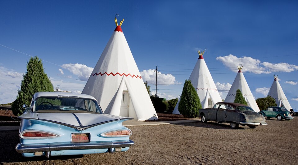
Built in 1950. Listed on the National Register of Historic Places in 2002.
One of 46 National Register listings published here for Navajo County · listed in 2002 · category: Building · built in 1950.
Sources: the case file at the National Archives · the National Register database, National Park Service
Regional context, not property-specific evidence. The federal wildfire occurrence database lists 7 fires within 5 miles of Wigwam Village #6 between 1996 and 2018, burning about 4 acres in total. None started naturally. 1 was recorded as arson. Distance is straight-line from the map coordinates, so a fire counted here may appear on a neighbouring settlement's page as well.
| Reported cause | Fires |
|---|---|
| Missing data/not specified/undetermined | 6 |
| Arson/incendiarism | 1 |
The most recent of them, most recent first, with the day each was reported and the service that recorded it.
| Date | Cause | Size | Reported by | Name on the report |
|---|---|---|---|---|
| 21 July 2014 | Missing data/not specified/undetermined | under an acre | Arizona Department of Forestry and Fire Management - State Office | BROOK |
| 6 June 2018 | Missing data/not specified/undetermined | under an acre | Joseph City Fire District | 109 |
| 8 March 1996 | Arson/incendiarism | under an acre | Arizona Department of Forestry and Fire Management - State Office | not named |
| 18 March 1999 | Missing data/not specified/undetermined | under an acre | Arizona Department of Forestry and Fire Management - State Office | ROMERO |
| 7 February 2006 | Missing data/not specified/undetermined | 1.0 acres | Arizona Department of Forestry and Fire Management - State Office | OBED |
| 10 February 2018 | Missing data/not specified/undetermined | under an acre | Arizona Department of Forestry and Fire Management - Northeast District | BOYSE |
| 10 February 2017 | Missing data/not specified/undetermined | 2.0 acres | Joseph City Fire District | not named |
Regional context, not property-specific evidence. The federal mineral resources record lists 4 workings within 5 miles of Wigwam Village #6: 3 unknowns, 1 producer. 1 still produces. What was taken out: Sand and Gravel, Construction. Distance is straight-line from the map coordinates, so a quarry counted here may appear on a neighbouring settlement's page as well.
| Where | Site | Commodity | Status | Recorded |
|---|---|---|---|---|
| Black Rock Sand & Gravel Co. | Sand and Gravel, Construction | Producer | ||
| Gravel Pit | Sand and Gravel, Construction | Unknown | ||
| Holbrook Basin | Sand and Gravel, Construction | Unknown | ||
| Pit No.1 | Sand and Gravel, Construction | Unknown |
Regional context, not property-specific evidence. The National Weather Service names Holbrook, the town this property stands in, in 16 storm reports between 1997 and 2024: 7 flash flood, 4 tornado, 1 flood, 1 lightning. No death or injury is recorded in these reports. Each account below is quoted exactly as the forecast office filed it, from the NOAA Storm Events Database, and each date opens the federal record of that event.
| When | Event | Place named | Harm | What the report says |
|---|---|---|---|---|
| July 2007 | Lightning | Holbrook | $10,000 | Lightning knocked down power lines and caused power outages in Holbrook. |
| June 2024 | Tornado (EF0) | Holbrook | - | A video was shared of a landspout just west of Holbrook. |
| September 2022 | Hail | Holbrook | - | Quarter to golf ball sized hail (one inch to 1 3/4 inch diameter) was reported just north of Holbrook. |
| July 2017 | Heavy Rain | Holbrook | - | A thunderstorm produced 1.13 inches of rain in about 25 minutes. |
| September 2011 | Tornado (EF0) | Holbrook | - | A tornado briefly touched down 1 mile east of milepost 384 on State Route 77. |
| July 2010 | Funnel Cloud | Holbrook | - | A funnel cloud was sighted about 10 miles east of Holbrook. The funnel descended and ascended twice. |
| July 2010 | Flash Flood | Holbrook | - | All major roads in Holbrook were flooded. |
| July 2007 | Flash Flood | Holbrook | - | Very heavy rain caused flooding along and over Highway 377 about 10 miles south-southwest of Holbrook. The water knocked over barged wire right of way fencing. Cars were backed up along the highway because of the flooding. |
| July 2007 | Flood | Holbrook | - | Heavy rain flooded several streets in Holbrook. |
| September 2007 | Flash Flood | Holbrook | - | A thunderstorm with heavy rain produced flash flooding over Highway 77 about one mile north of Holbrook. |
| July 2003 | Flash Flood | Holbrook | - | Water was flowing over Highway 77 between Shumway and Taylor. Minor street flooding was also reported between Holbrook and Snowflake. |
| September 2002 | Flash Flood | Holbrook | - | Heavy rain caused flash flooding in the Leroux Wash that covered I-40 three miles west of Holbrook. |
| August 2001 | Tornado (F0) | Holbrook | - | A tornado was seen by an off duty NWS employee three miles south of Holbrook near the intersection of Routes 377 and 77. The tornado was on the ground for 5 minutes. |
| July 1999 | Flash Flood | Holbrook | - | Thunderstorms producing heavy rainfall forced the Porter Tank Draw to leave its banks and flood McClaws Road to a depth of three feet. |
| October 1997 | Tornado (F0) | Holbrook | - | Off-duty NWS employee reported the touchdown of a weak tornado. |
| August 2006 | Flash Flood | Holbrook | - | no account filed |
3 papers published in this town, digitised by the Library of Congress and free to read: 1,544 issues, 9,179 pages. Every page is searchable, so a name or a street can be looked for directly in what the town printed about itself at the time.
| Newspaper | Published |
|---|---|
| The Argus | 1895 to 1900 |
| Holbrook Argus | 1900 to 1913 |
| The Holbrook News | 1909 to 1923 |
No historic map-sheet match is published for this property yet. That does not mean no map exists. This record needs a coordinate-quality review before it can be joined to a sheet boundary. Browse the county's mapped places while that work is pending.
Other National Register properties close enough to walk or drive between, ordered by distance from this one. Both positions come from the same geocoding pass that matched these properties to their map sheets.
| Photograph | Property | Distance | Listed |
|---|---|---|---|
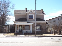 | Sidney Sapp House | 0.2 miles | 1986 |
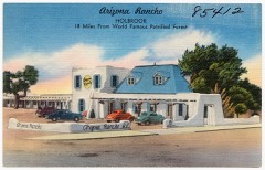 | Arizona Rancho | 0.5 miles | 1997 |
 | Holbrook Bridge | 0.5 miles | 1989 |
| South Central Avenue Commercial Historic District | 0.6 miles | 1997 | |
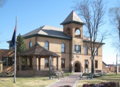 | Navajo County Courthouse | 0.7 miles | 1978 |
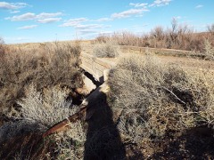 | Holbrook Bridge | 3.5 miles | 1988 |
| National Archives record | The nomination case file for reference 02000419 in Record Group 79. |
| Navajo County | All 46 listed properties in this county. |