21 National Register listings published here, 1 of them a National Historic Landmark · the county-history sources tell 1 story and name 1 person · people the book names include E. Clampsus Vitus (Georgetown, 1883) (machine-read).
California within the United StatesEl Dorado County within California
Explore by year
What the record shows
3 places in this county were surveyed for fire insurance: Placerville, El Dorado, Georgetown, between 1891 and 1940.
8 fire insurance atlases survive for the county. Topographic coverage is national; fire insurance survey reached only incorporated places with something worth insuring.
5,704 topographic sheet readings cover the county's settlements.
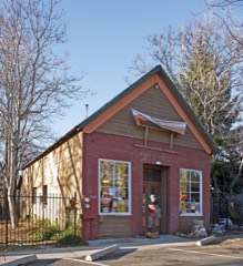
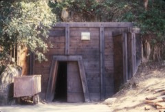
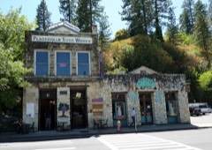
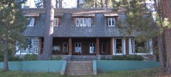
21 properties here are on the National Register of Historic Places: 14 buildings, 6 districts and 1 site.
4 of the 21 listings were added during the 1970s.
The Geographic Names Information System records 181 populated places in this county; 180 are covered by at least one topographic sheet.
What happened here
1 accounts
Among them: Local History. These passages come from the
identified county-history source books. Each inset names its own source
and opens the exact section it comes from.
ers were engaged in mining in Hise's ravine. These two brothers, who subsequently discovered the celebrated Comstock silver lode, in Nevada, were young men of remarkable intelligence, and as eccentric as tliey were intelligent. They found a valuable opal, which was valued at Philadelphia at $1,500. One of them died in \Vashoe, from the effects of a pick wound in his foot, the other perished in attempting to cros.s the Sierra Nevada mountains in winter.
Taken for the Office of War Information and
the Farm Security Administration, who photographed the country between
1935 and 1944. Works of United States government photographers, with no
known restriction on use. Each opens its catalogue record.
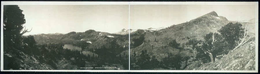
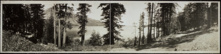
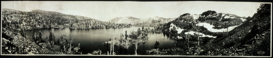
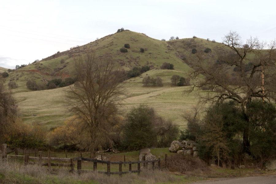
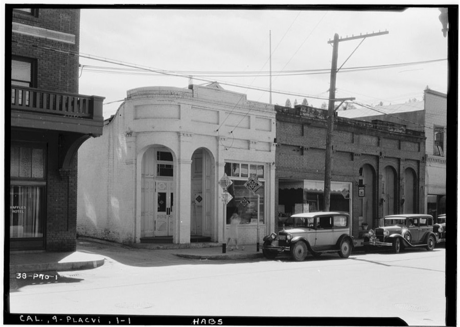
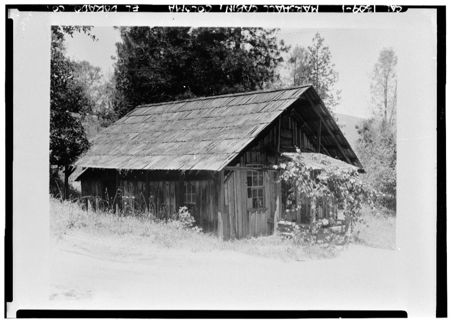
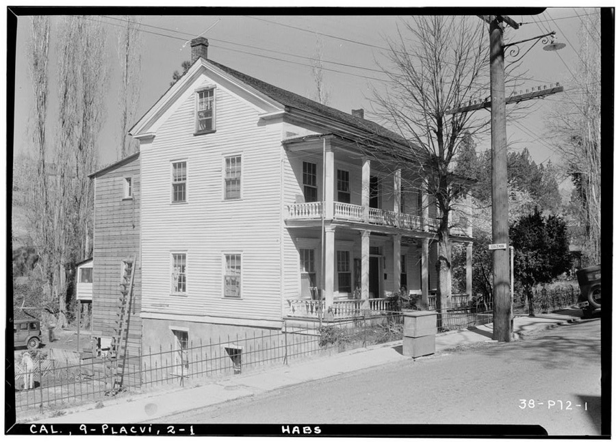
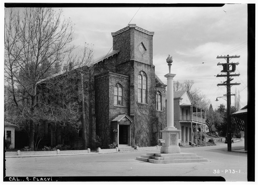
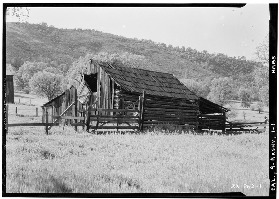
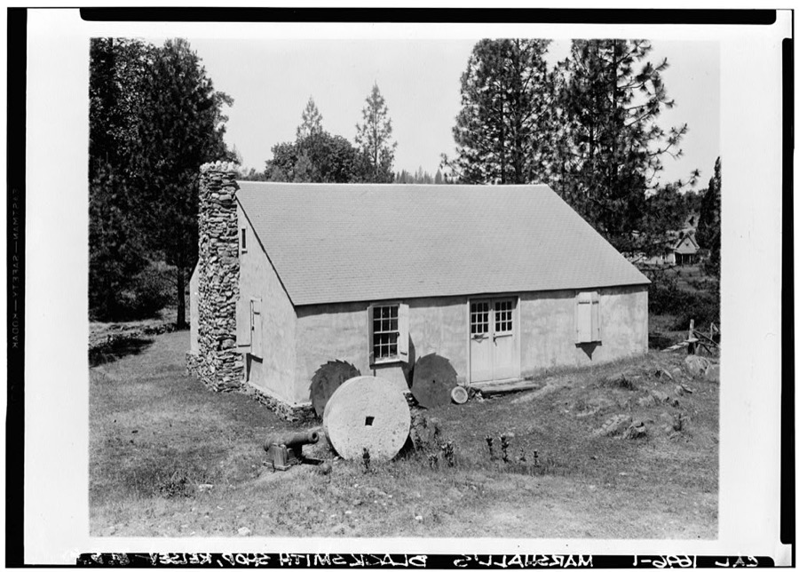
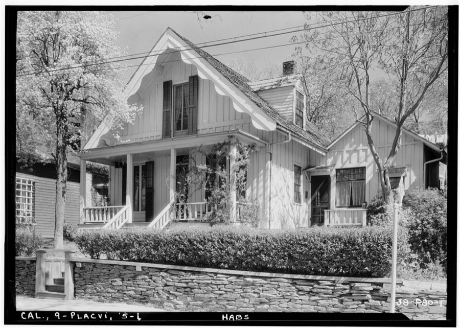
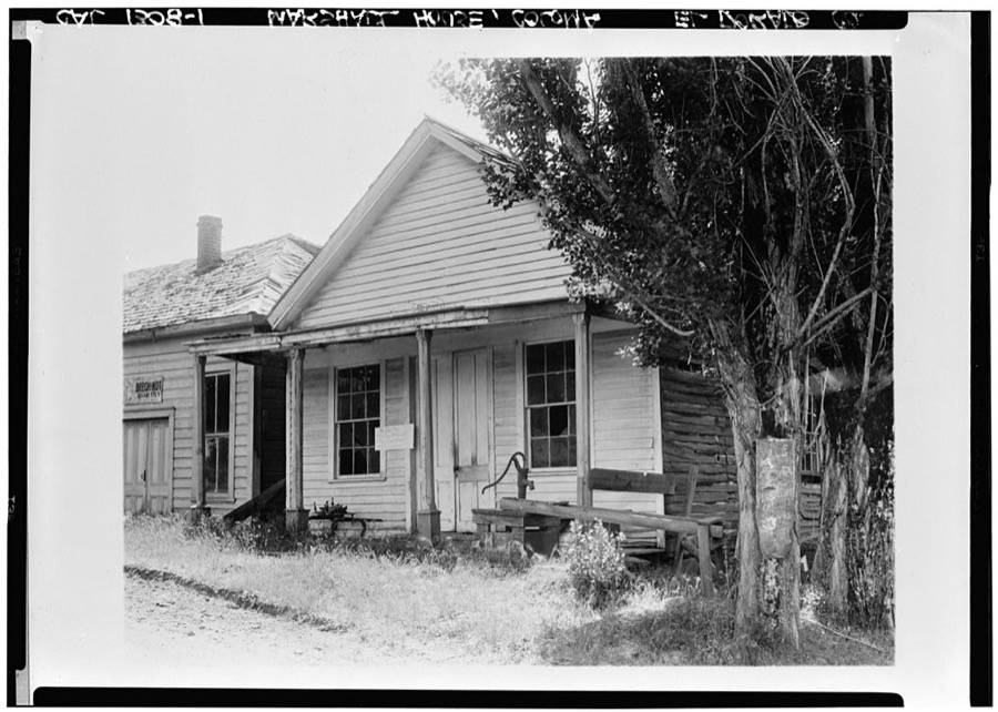
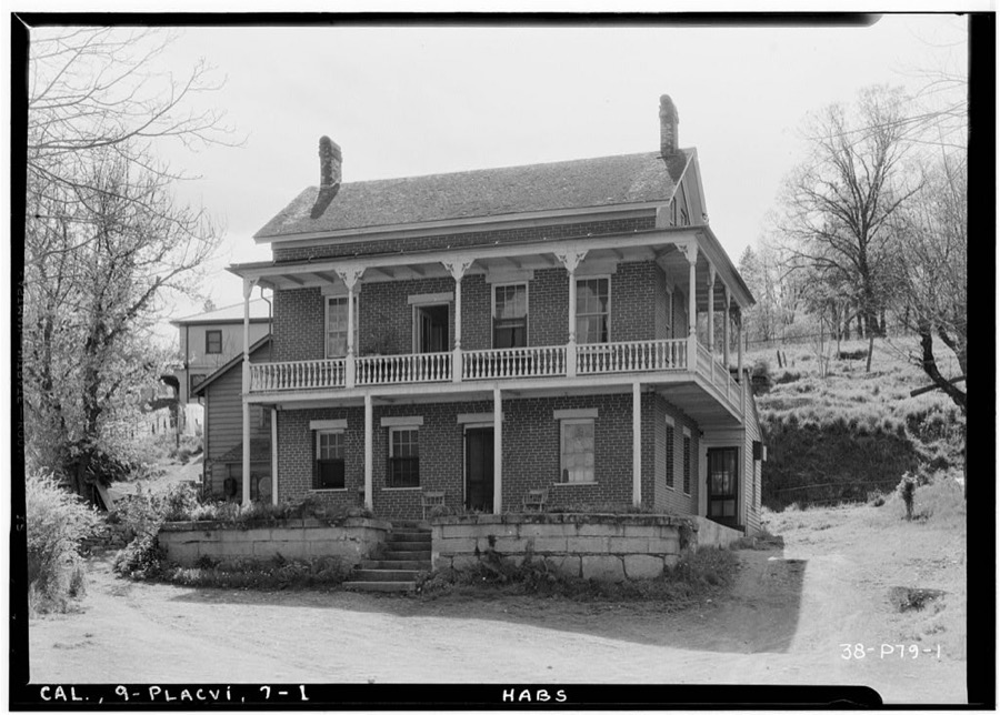
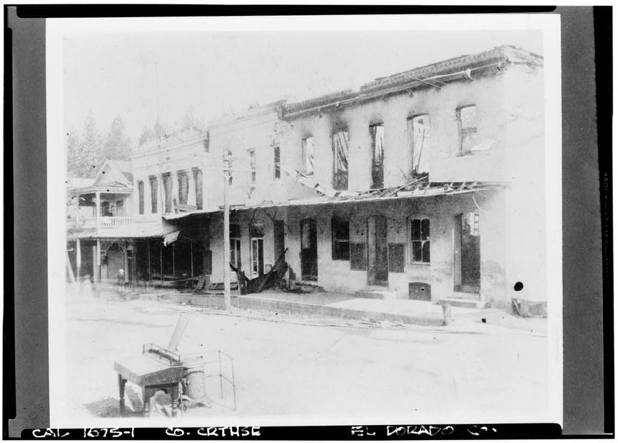
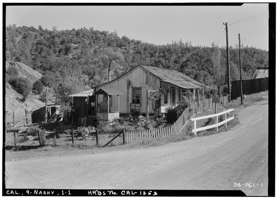
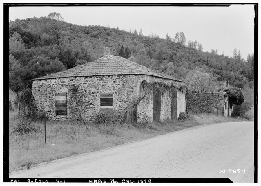
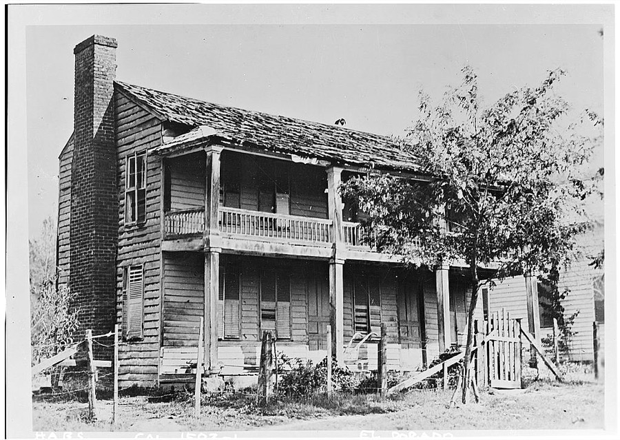
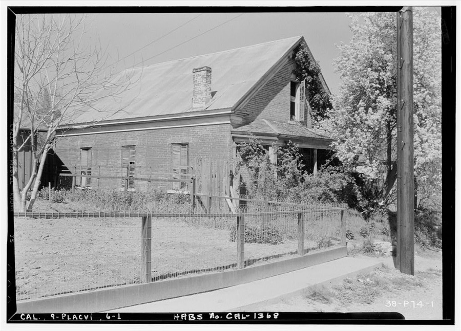
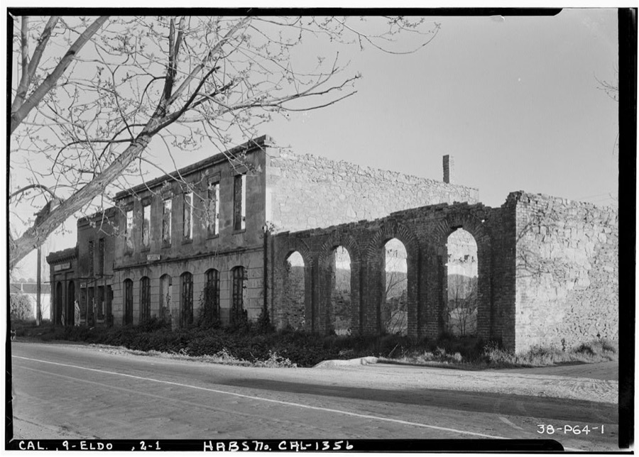
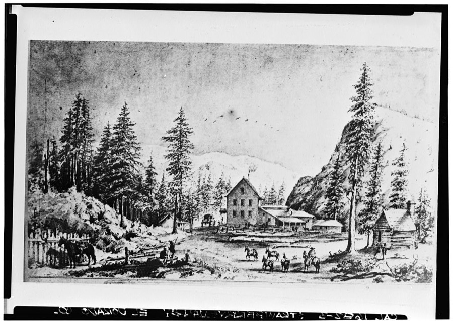
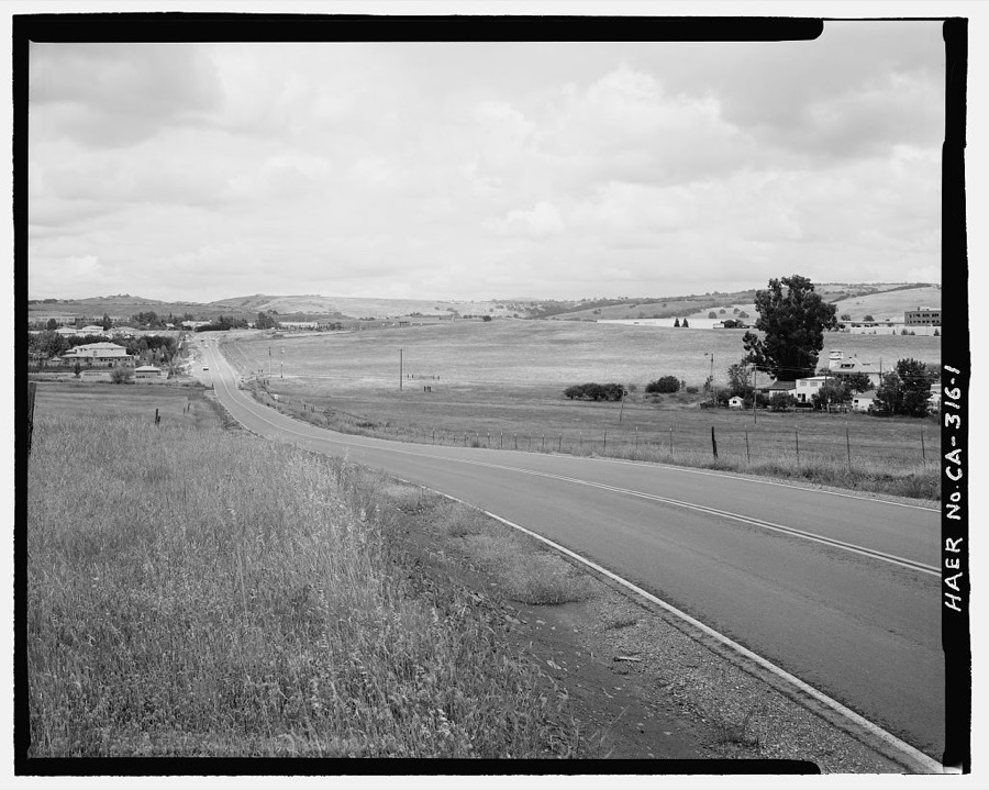
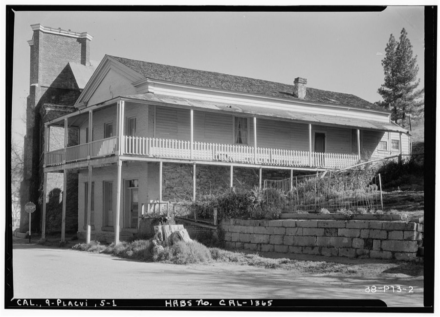
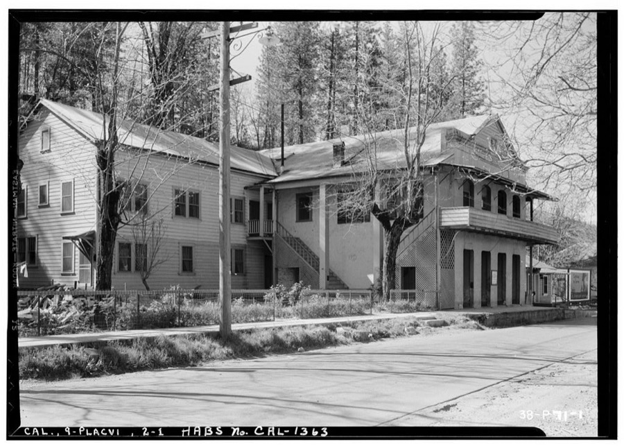
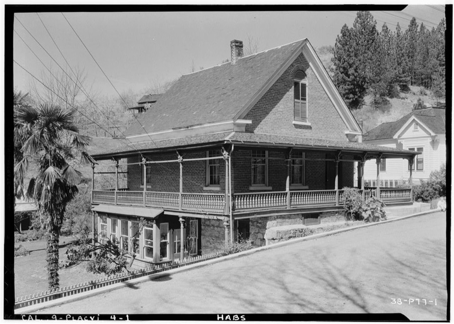
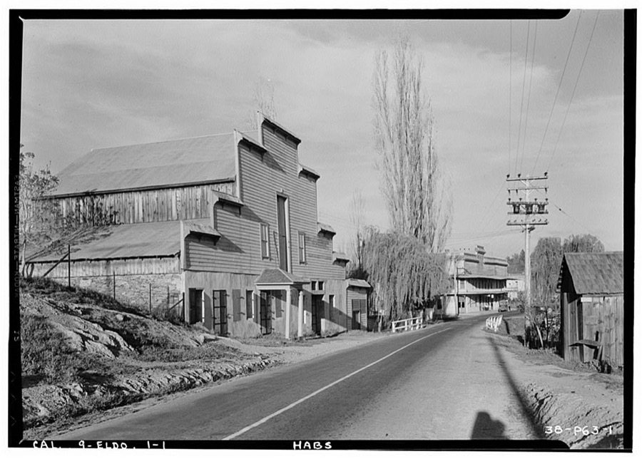
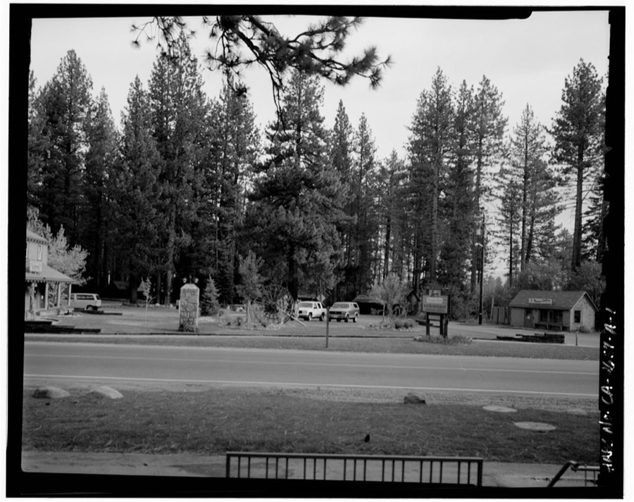
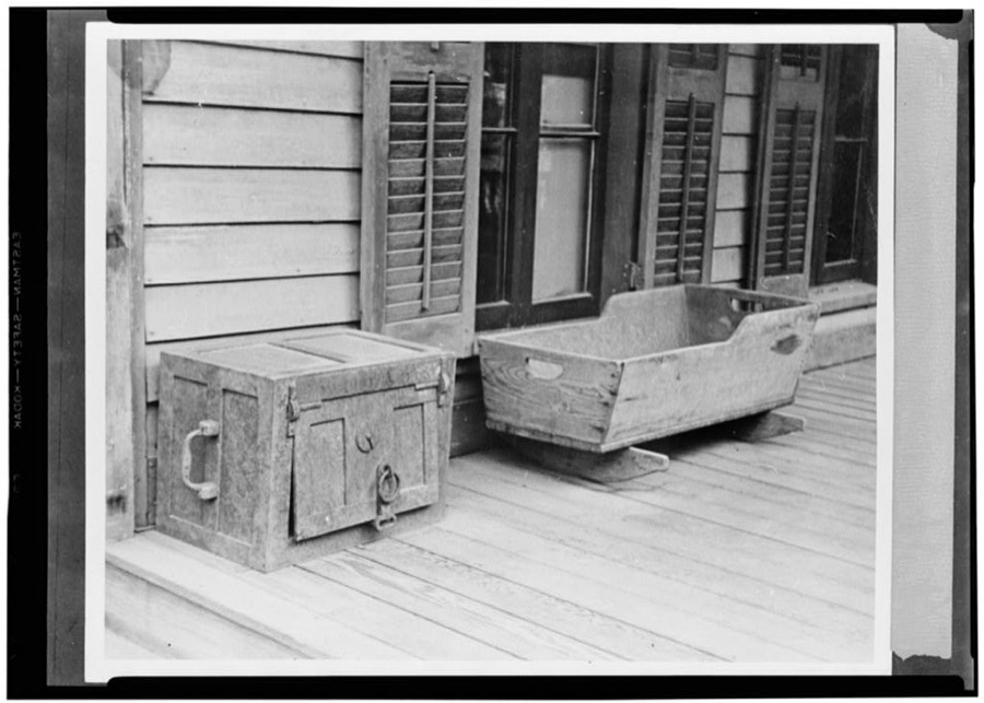
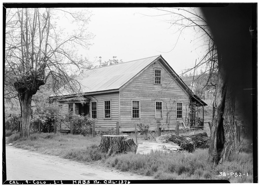
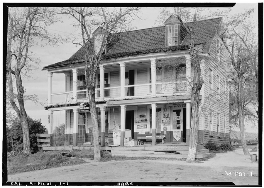
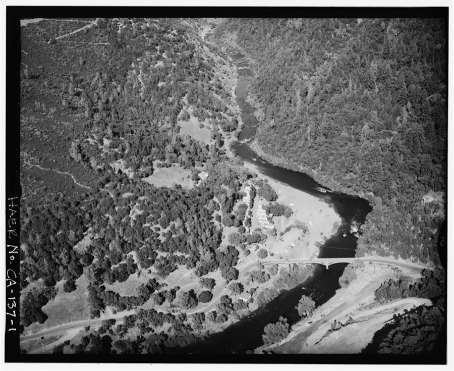
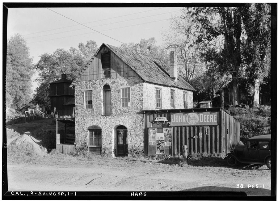
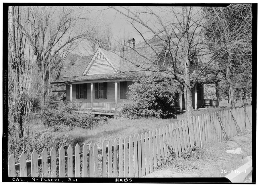
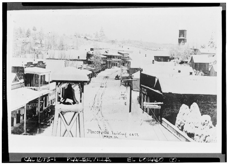
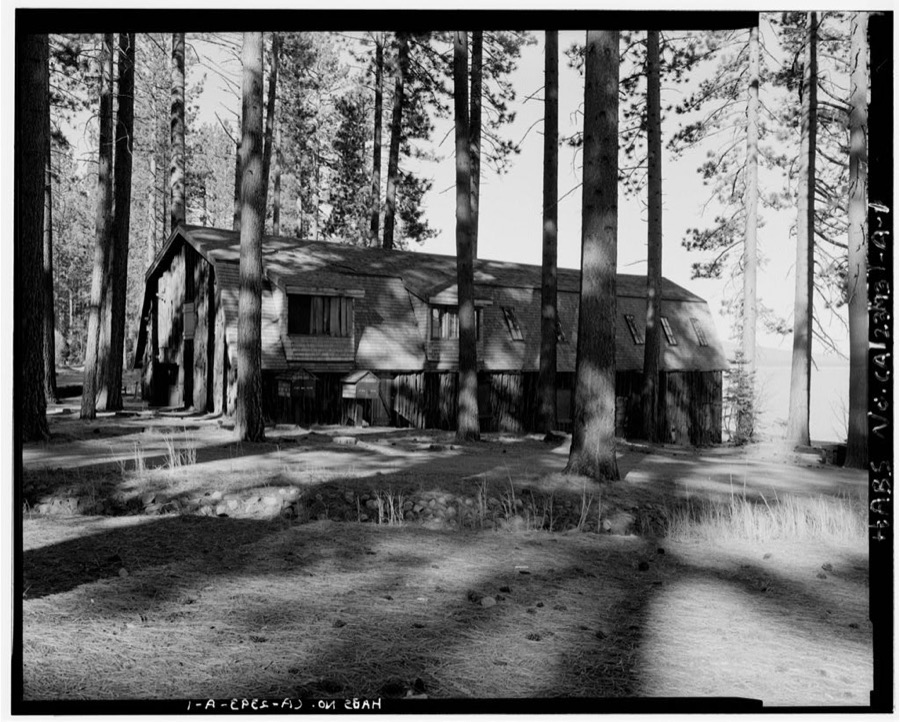
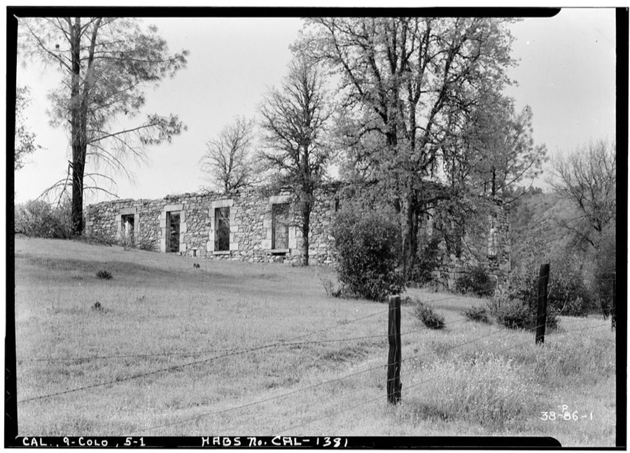
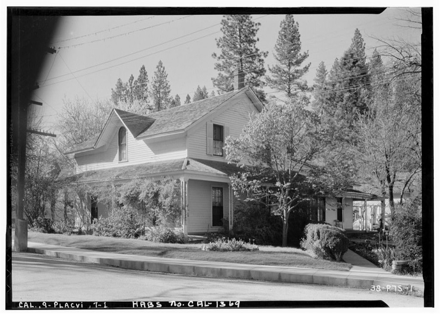
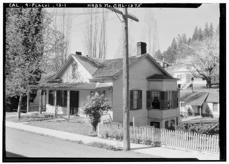
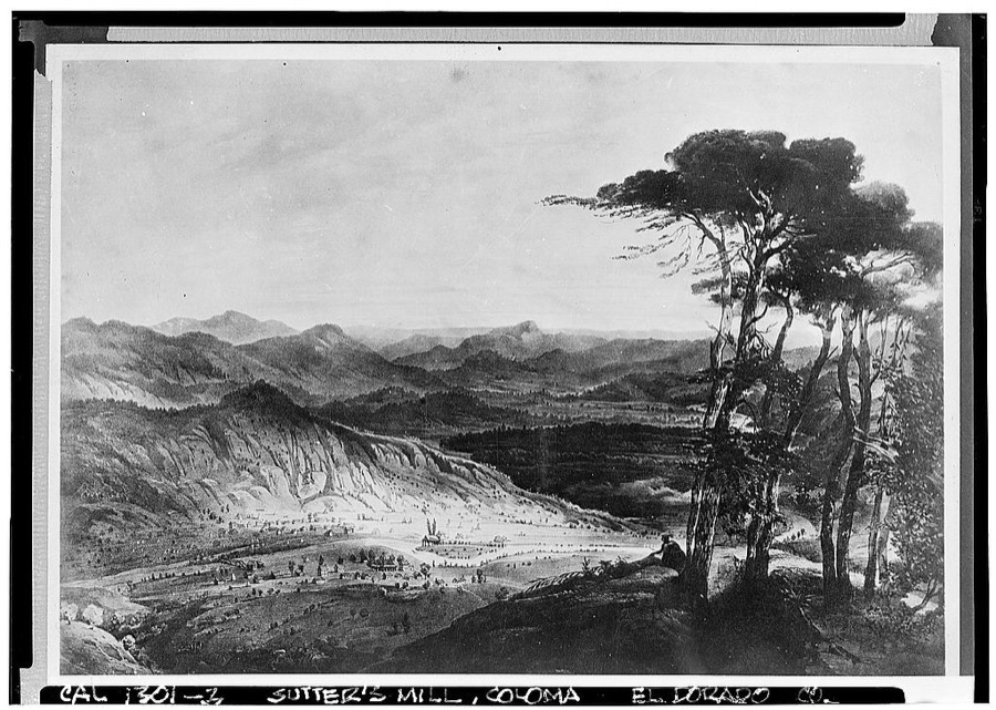
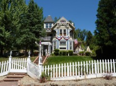
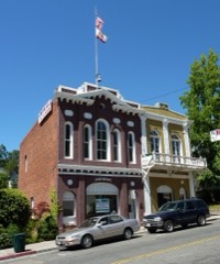
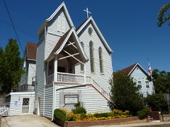
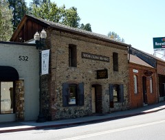
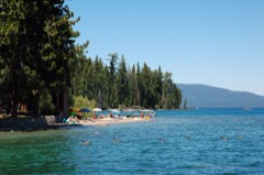
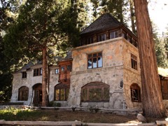
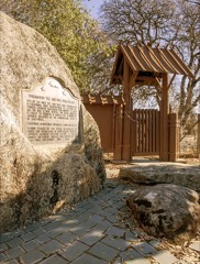
Susie Lake, near Glen Alpine Pillsbury Picture Co., copyright claimant, 1906. Library of CongressFallen Leaf Lake & Mt. Tallac Pillsbury Picture Co., copyright claimant, 1906. Library of CongressSusie Lake, Lake Tahoe Parker, Harold A., copyright claimant, 1910. Library of CongressA hillside near the American River at Coloma in El Dorado County, California Highsmith, Carol M, 2012. Library of CongressMain Street (Commercial Buildings), Placerville, El Dorado County, CA Photographer not recorded. Library of CongressJames W. Marshall Cabin, Marshall Monument Road, Coloma, El Dorado County, CA Photographer not recorded. Library of CongressBedford Inn, Placerville, El Dorado County, CA Photographer not recorded. Library of CongressEl Dorado County Federated Church, Main Street, Placerville, El Dorado County, CA Photographer not recorded. Library of CongressLog Barn, Nashville, El Dorado County, CA Photographer not recorded. Library of CongressJames W. Marshall Blacksmith Shop, Kelsey, El Dorado County, CA Photographer not recorded. Library of CongressColoma Road (House), Placerville, El Dorado County, CA Photographer not recorded. Library of CongressJames W. Marshall House, Kelsey, El Dorado County, CA Photographer not recorded. Library of CongressBrick & Stone House, Placerville, El Dorado County, CA Photographer not recorded. Library of CongressEl Dorado County Courthouse (Ruins), Main Street, Placerville, El Dorado County, CA Photographer not recorded. Library of CongressHouse, Nashville, El Dorado County, CA Photographer not recorded. Library of CongressChinese Store (Ruins), Main Street, Coloma, El Dorado County, CA Photographer not recorded. Library of CongressSierra Nevada Hotel, Coloma, El Dorado County, CA Photographer not recorded. Library of Congress50 Benham Street (House), Placerville, El Dorado County, CA Photographer not recorded. Library of CongressMain Street Store (Ruins), El Dorado, El Dorado County, CA Photographer not recorded. Library of CongressStrawberry House, Placerville Road, Strawberry, El Dorado County, CA Photographer not recorded. Library of CongressPlacerville Road, White Rock Road between Clarksville & White Rock, El Dorado Hills, El Dorado County, CA Photographer not recorded. Library of CongressBuilding Adjoining Community Church, Main Street, Placerville, El Dorado County, CA Photographer not recorded. Library of CongressJ. Zeisz Building, Placerville, El Dorado County, CA Photographer not recorded. Library of Congress2934 Bedford Street (House), Placerville, El Dorado County, CA Photographer not recorded. Library of CongressFalse Front Commercial Buildings, El Dorado, El Dorado County, CA Photographer not recorded. Library of CongressCamp Richardson Resort, Cord Cabin, U.S. Highway 89, 3 miles west of State Highway 50 & 89, South Lake Tahoe, El Dorado County, CA Photographer not recorded. Library of CongressPony Express Courier Building (Strong Box & Cradle), Placerville, El Dorado County, CA Photographer not recorded. Library of CongressPost Office, Main Street, Coloma, El Dorado County, CA Photographer not recorded. Library of CongressHotel, Pilot Hill, El Dorado County, CA Photographer not recorded. Library of CongressChili Bar Bridge, Spanning South Fork of American River at State Highway 193, Placerville, El Dorado County, CA Photographer not recorded. Library of CongressPhelps Store, U.S. Highway 50, Shingle Springs, El Dorado County, CA Photographer not recorded. Library of CongressBedford Street (House), Placerville, El Dorado County, CA Photographer not recorded. Library of CongressMain Street (Commercial Buildings), Placerville, El Dorado County, CA Photographer not recorded. Library of CongressHeller Estate, Boathouse, State Highway 189, South Lake Tahoe, El Dorado County, CA Photographer not recorded. Library of CongressMeyer's Dance Hall & Saloon, Shingle Spring Road, Coloma, El Dorado County, CA Photographer not recorded. Library of CongressJudge Thompson House, 32 Cedar Ravine, Placerville, El Dorado County, CA Photographer not recorded. Library of CongressBedford Street (House), Placerville, El Dorado County, CA Photographer not recorded. Library of CongressSutter's Mill, American River (submerged), Coloma, El Dorado County, CA Photographer not recorded. Library of Congress
Places on the National Register
21
Every property in this county listed on the
National Register of Historic Places, with the year it was listed and the
federal nomination document.
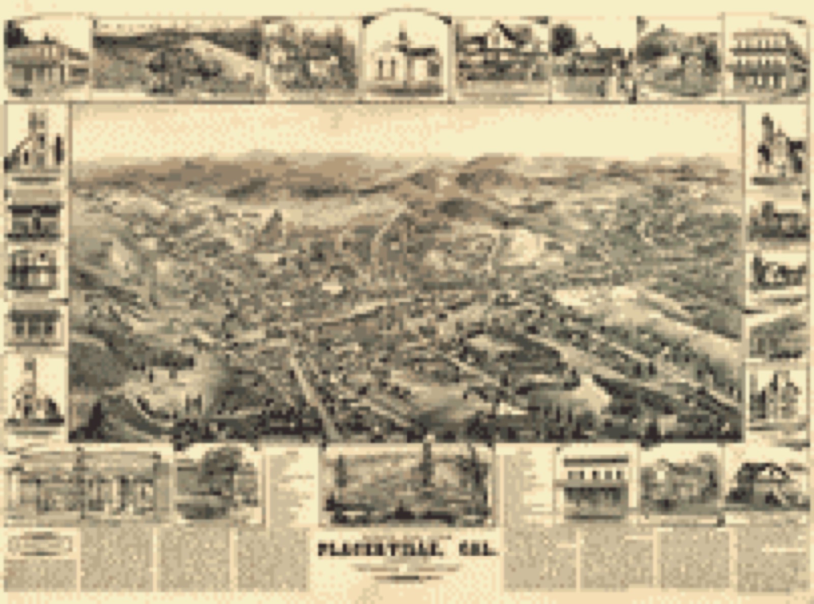
Drawn when these were printed as
single large sheets: the town seen from the air, and the county
divided into its farms with every owner named. Each opens the
original at the Library of Congress.
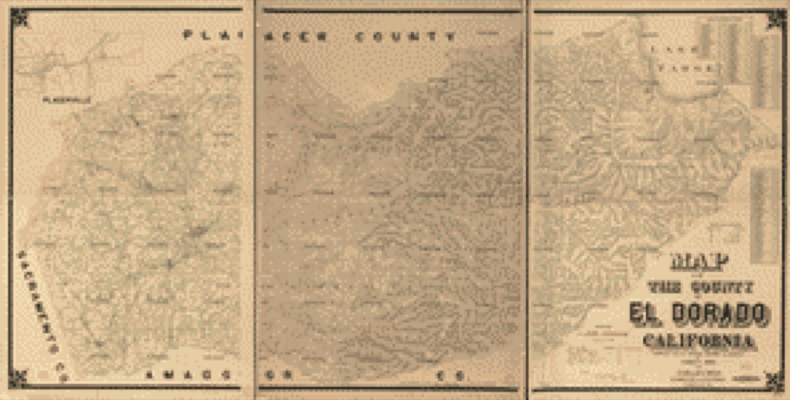
Bird's-eye view (1888) - Bird's eye view, Placerville, Cal. Library of Congress.Land ownership map (1895) - Map of the County of El Dorado, California : compiled from the official records and surveys. Library of Congress.
Photographs from libraries nationwide
5 of 33 shown
Selected from the Digital Public Library
of America's 33 image records catalogued for this county. Every
one shown here carries a public-domain status or a licence that permits
reuse on a site that carries advertising; non-commercial, share-alike
and restricted images are excluded. The selection is spread across the
county's towns (at most eight per town), so no single institution's
bulk upload crowds out the rest. Each opens the holding library's
record, and
the complete set at the
Digital Public Library of America is one click away.
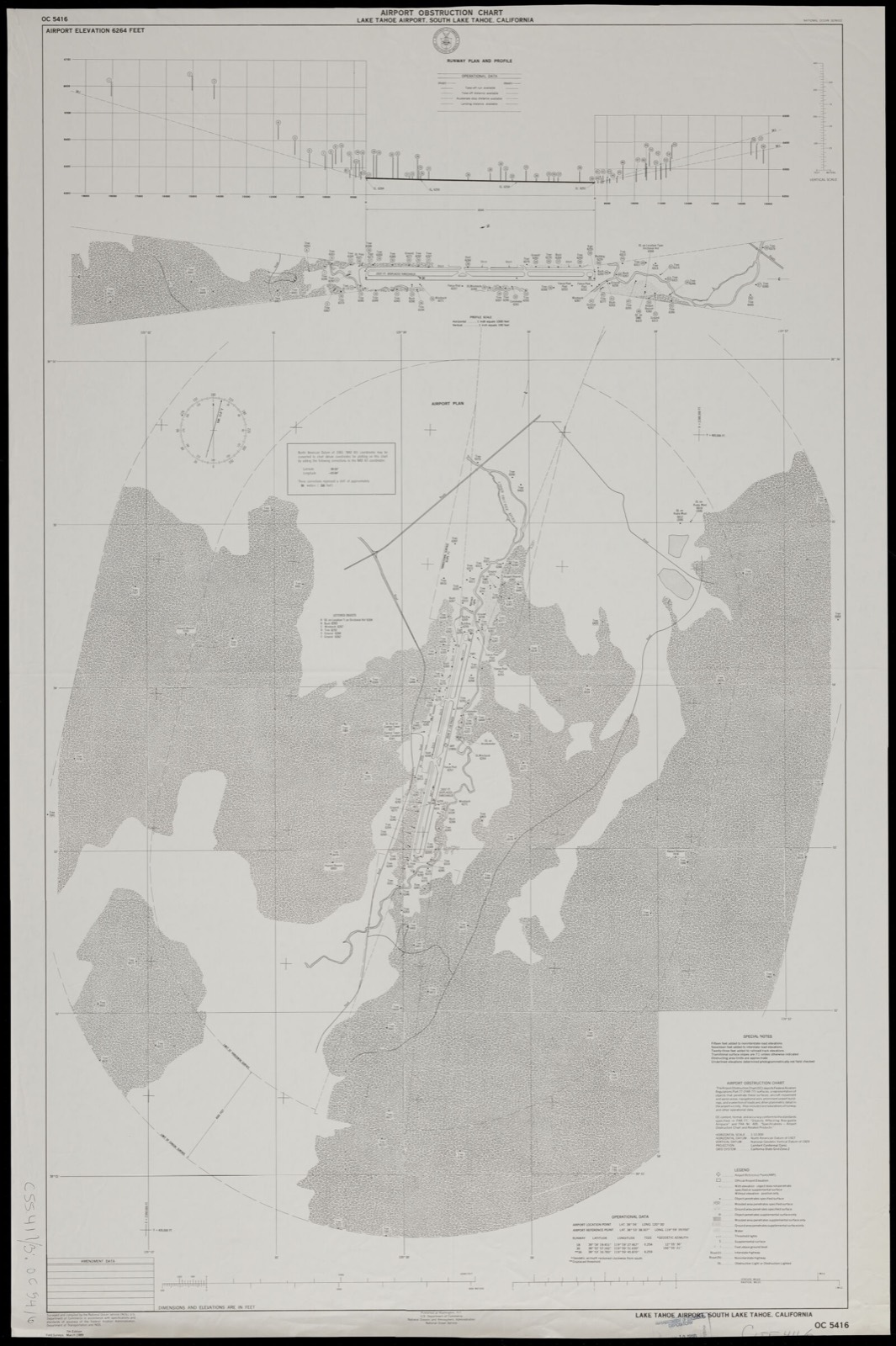
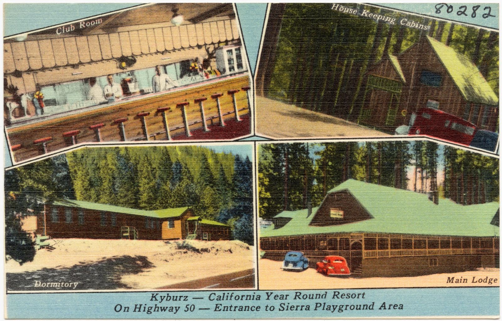
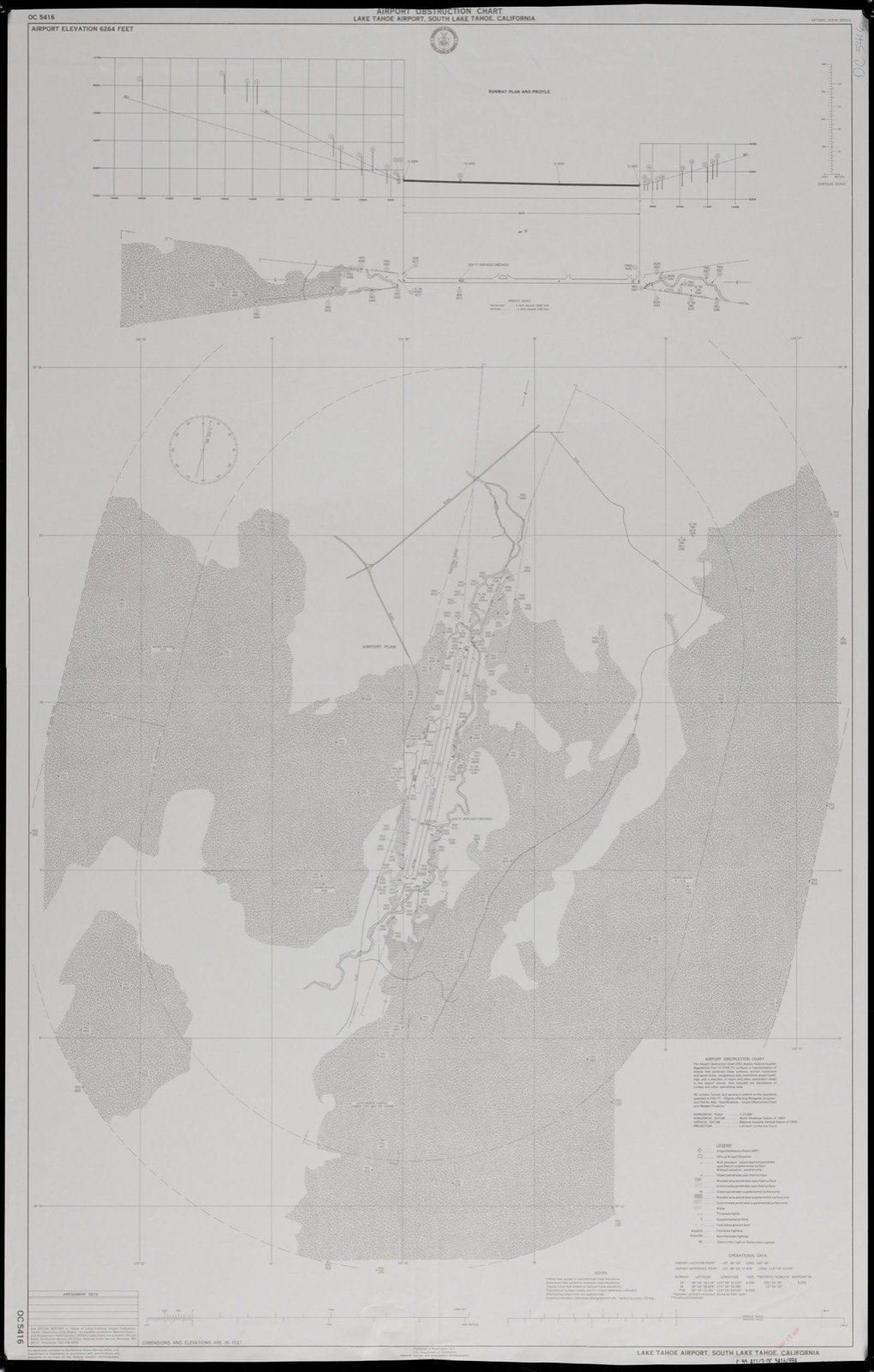
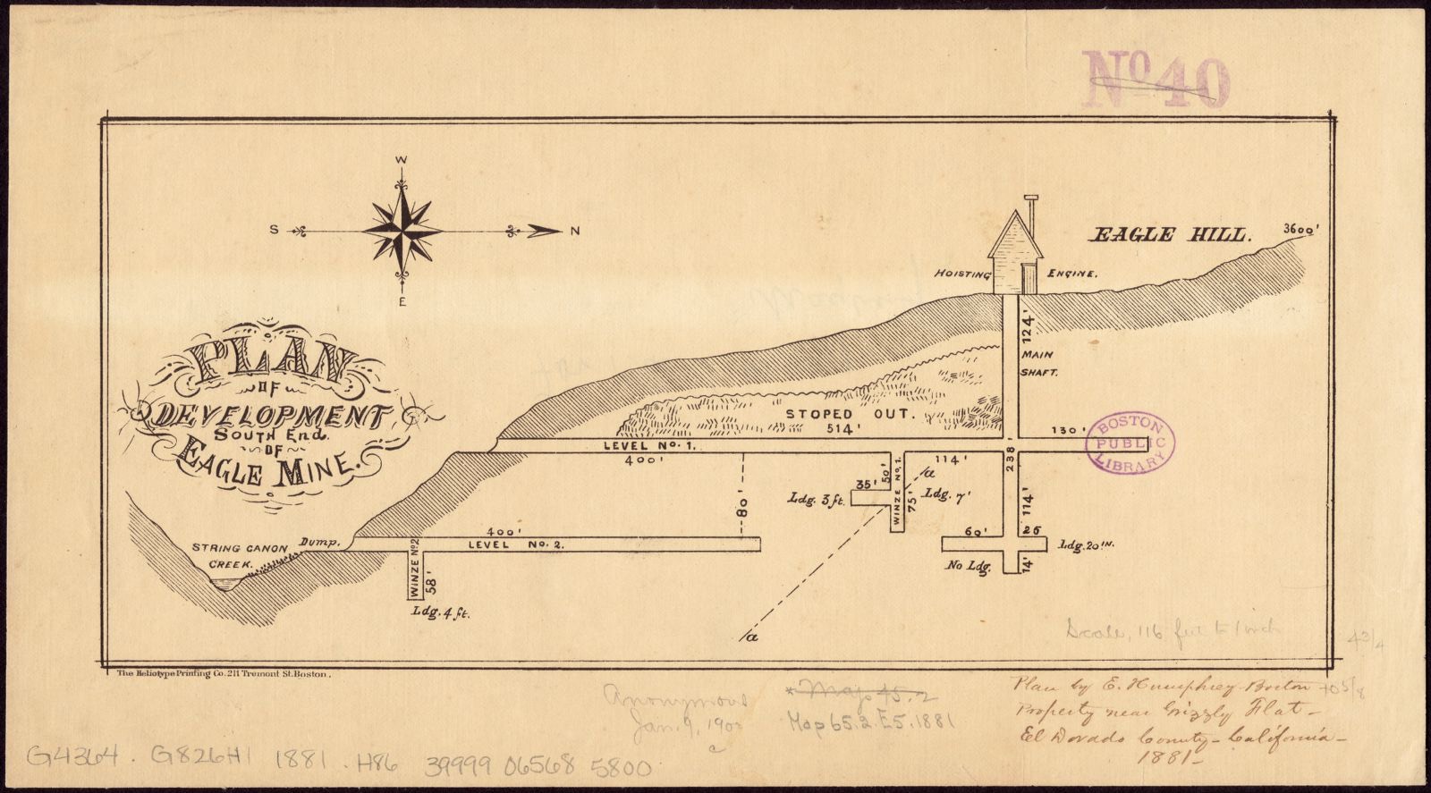
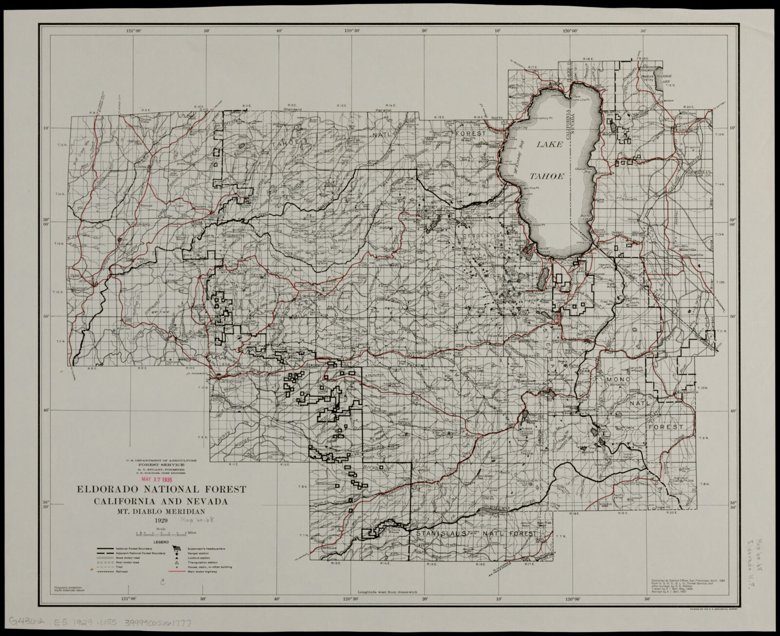
Airport obstruction chart, OC 5416, Lake Tahoe Airport, South Lake Tahoe, California. United States. National Ocean Service, Boston Public Library, via the Digital Public Library of America.Kyburz- California year round resort, on highway 50- entrance to Sierra Playground Area. Boston Public Library, via the Digital Public Library of America.Airport obstruction chart, OC 5416, Lake Tahoe Airport, South Lake Tahoe, California. United States. National Ocean Service, Boston Public Library, via the Digital Public Library of America.Plan of development, south end of Eagle Mine. Humphrey, E, Boston Public Library, via the Digital Public Library of America.Eldorado National Forest, California and Nevada. Geological Survey (U.S.), Boston Public Library, via the Digital Public Library of America.
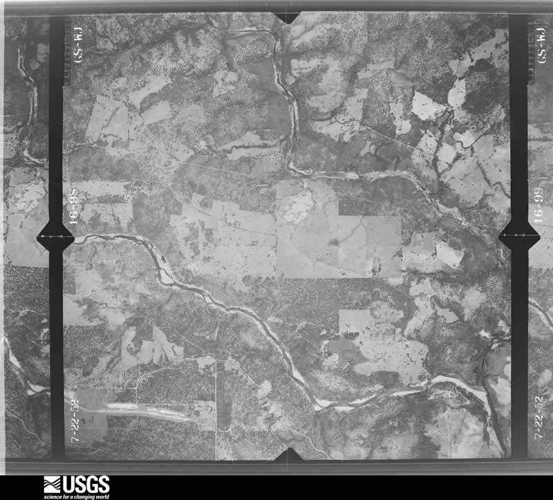
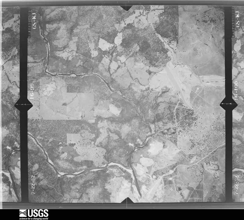
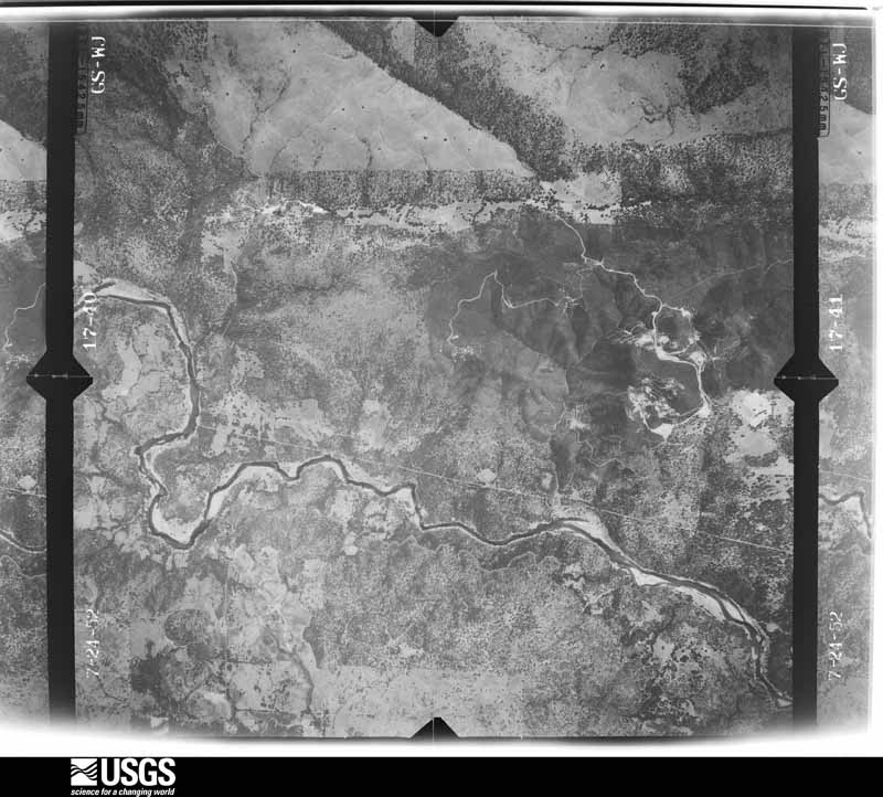
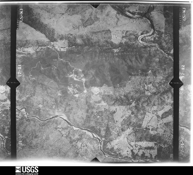
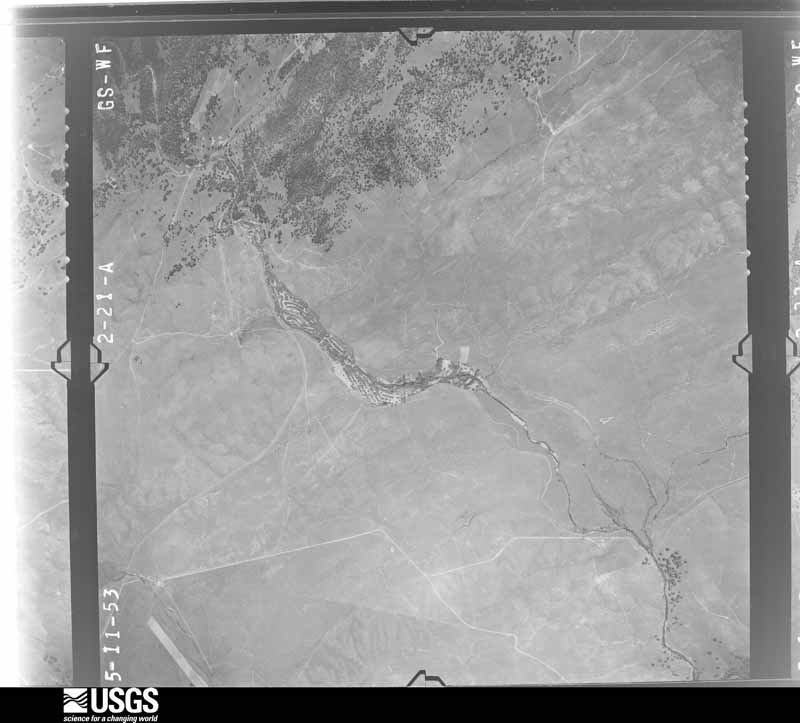
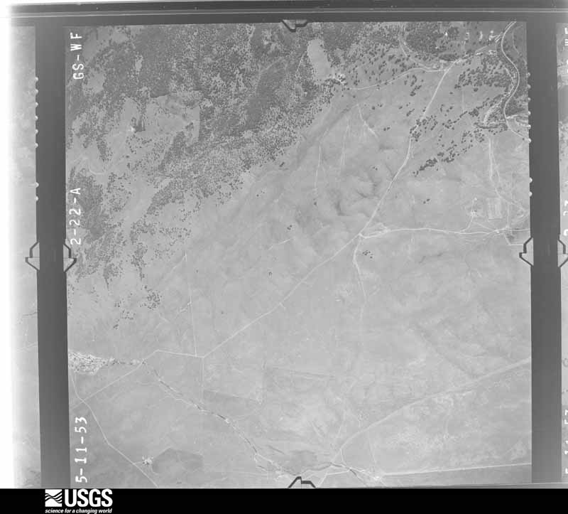
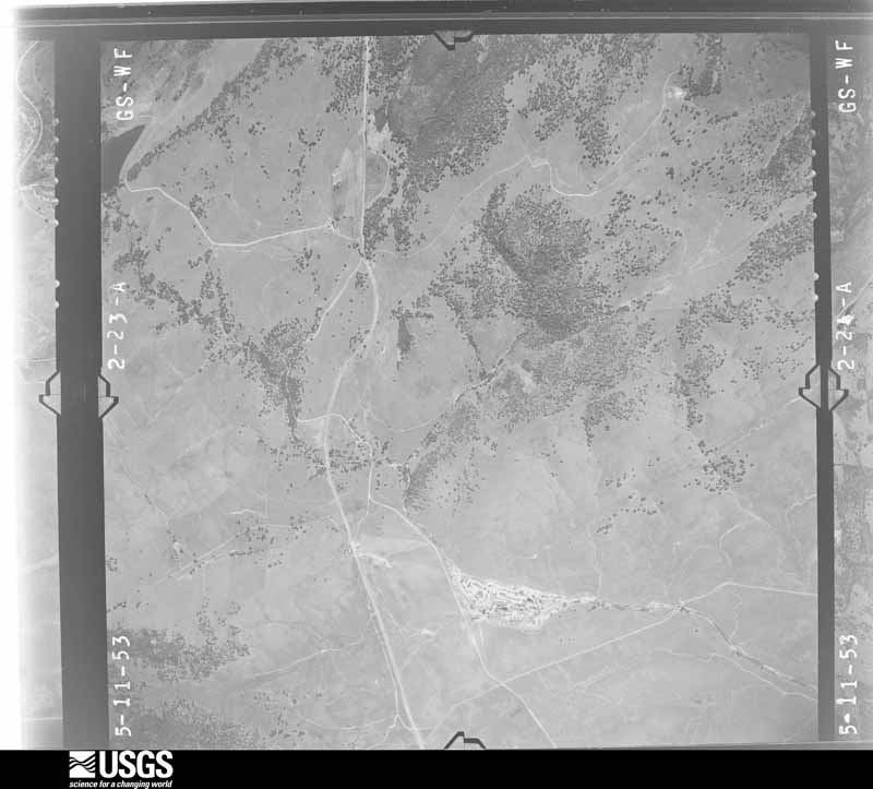
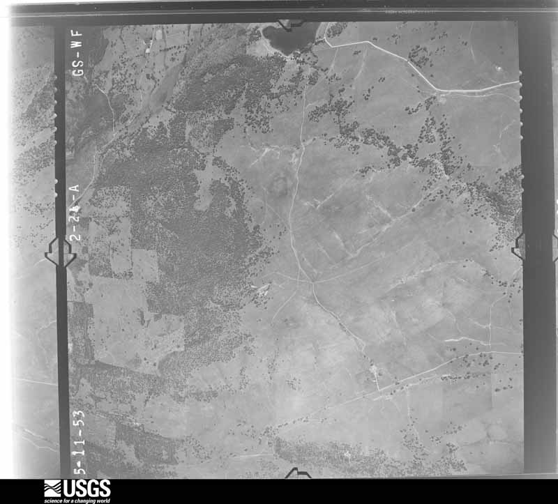
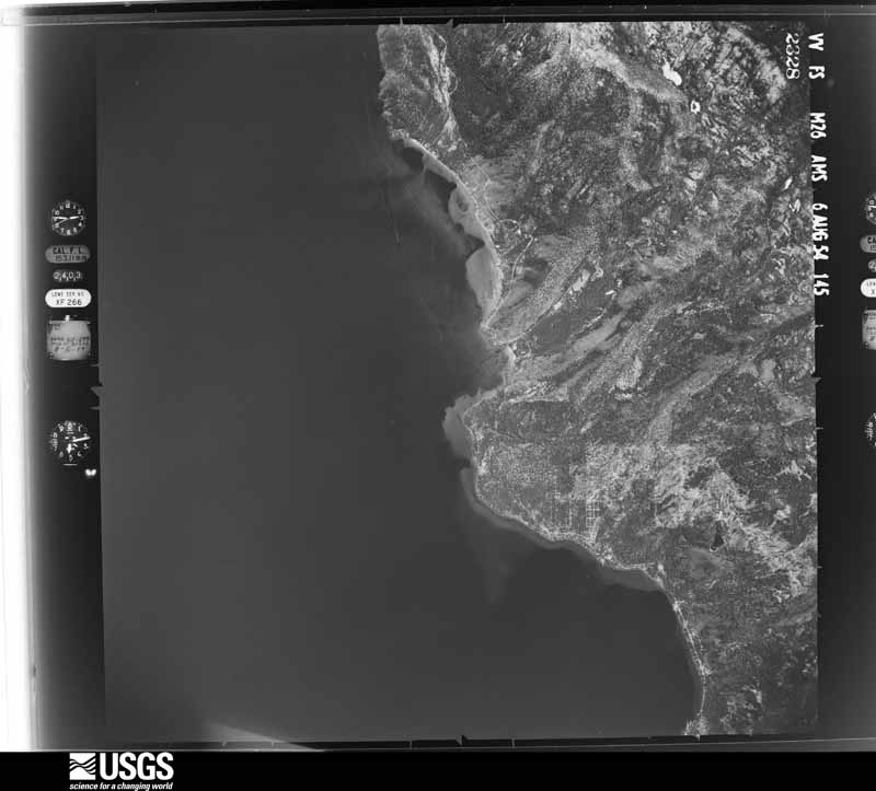
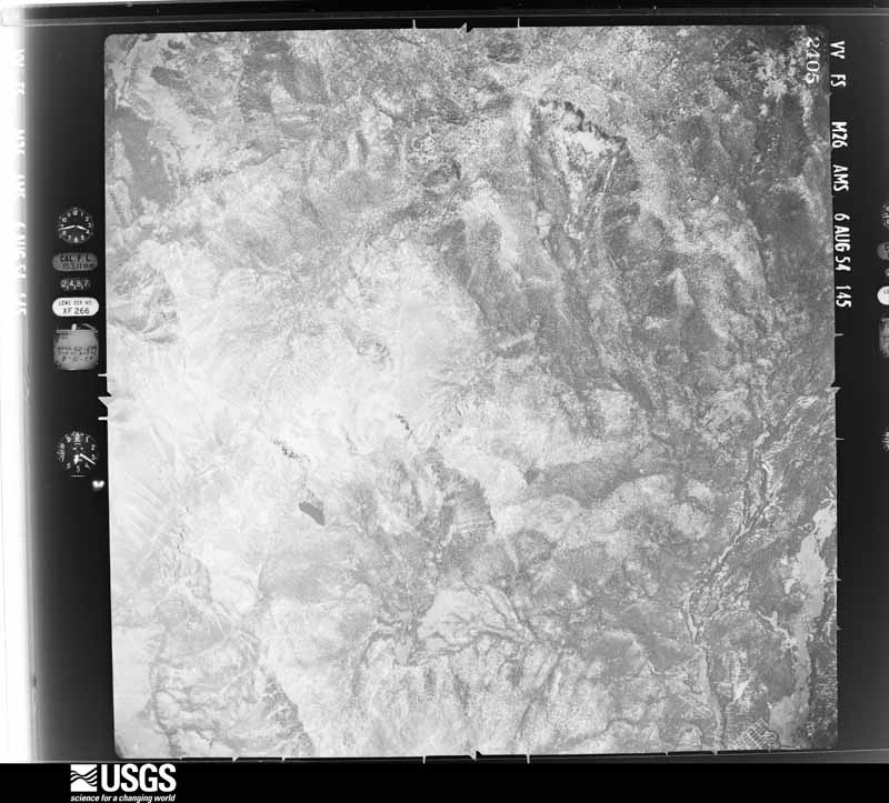
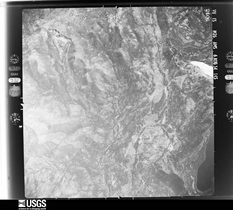
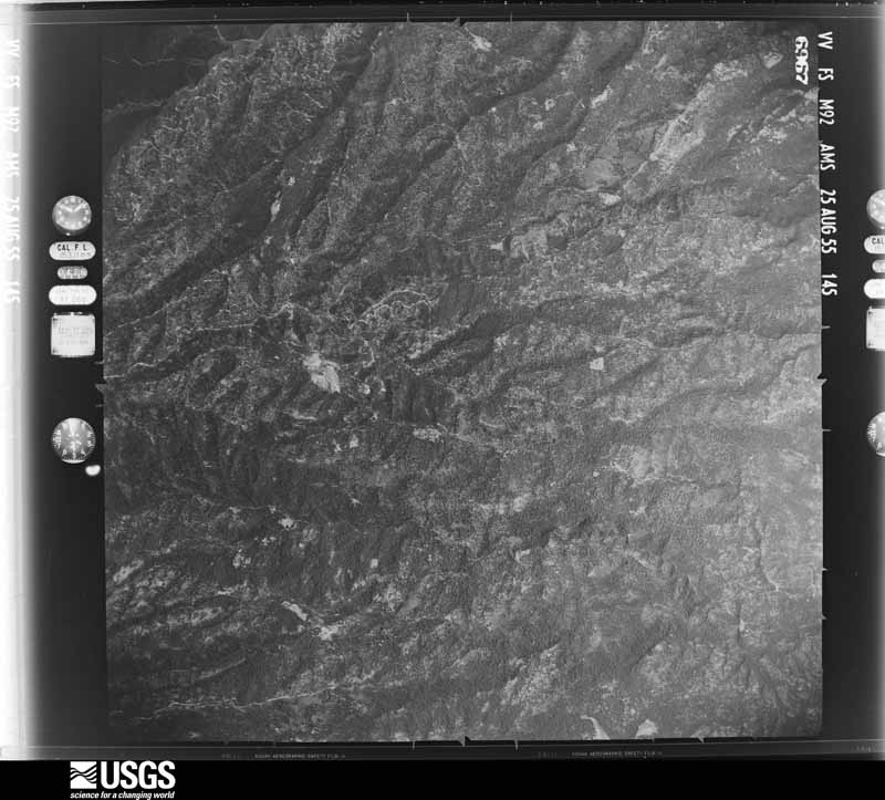
The county from the air
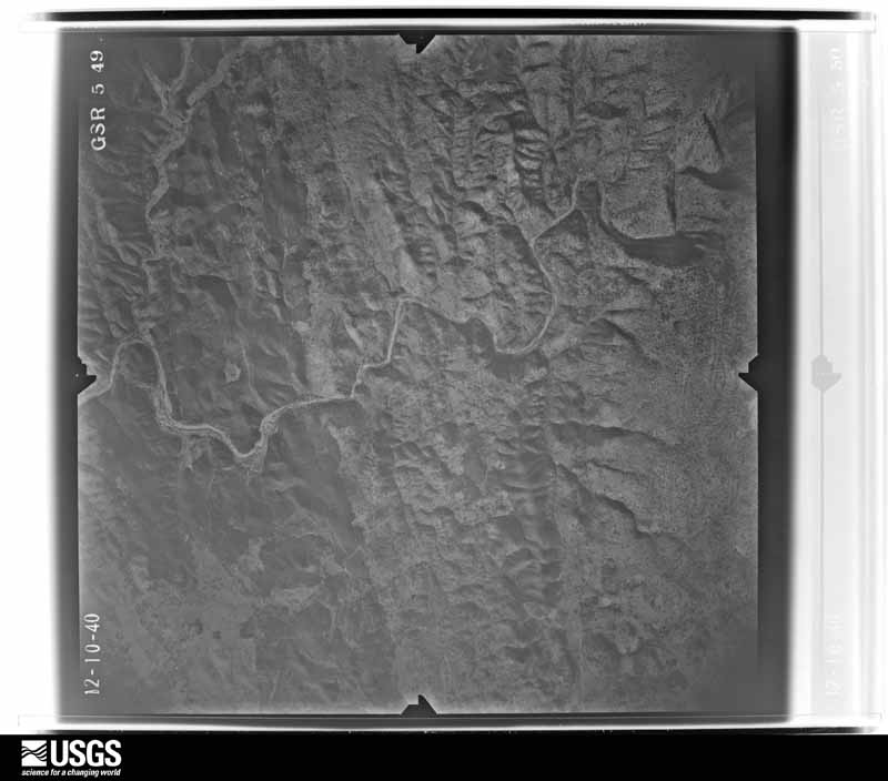
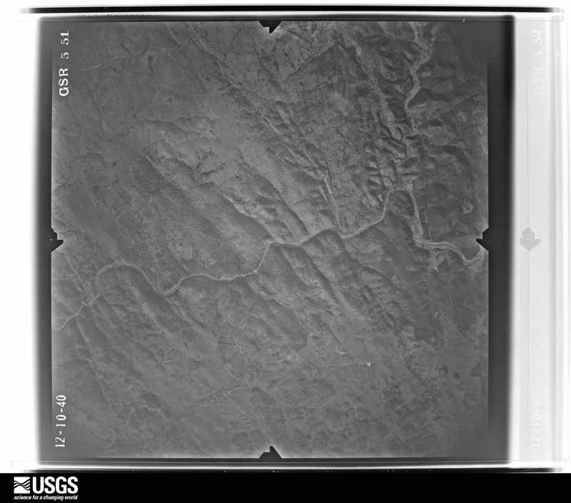
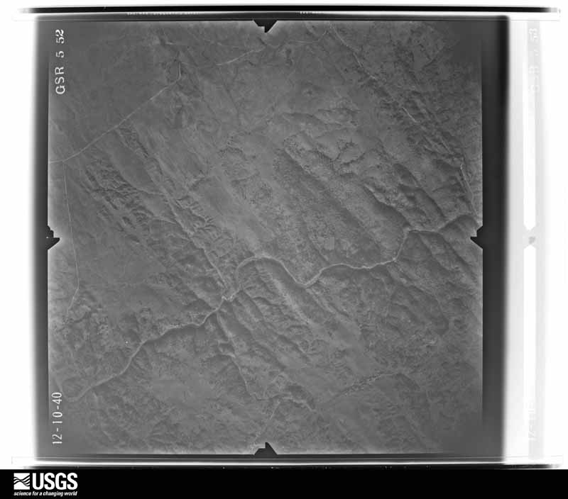
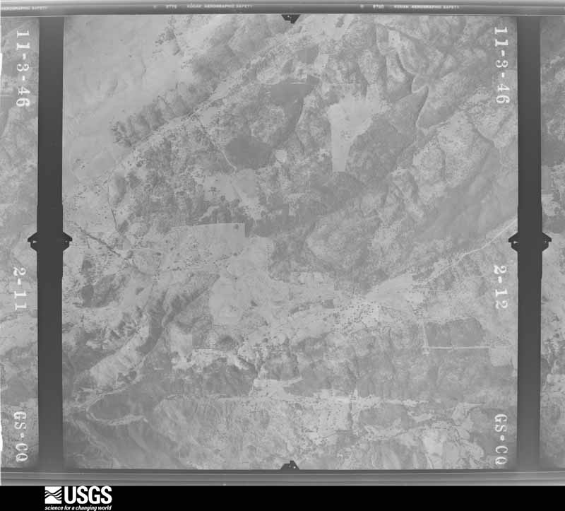
48 shown
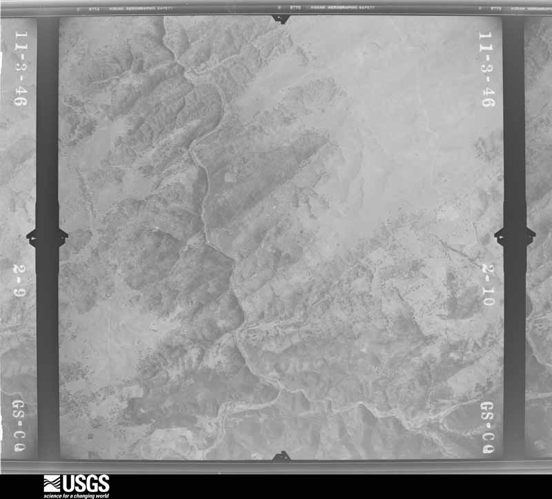
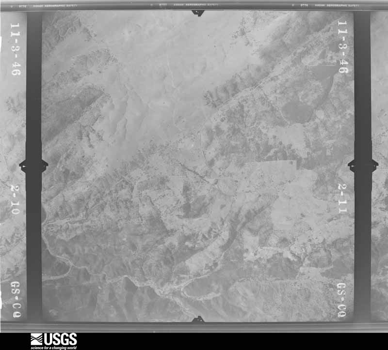
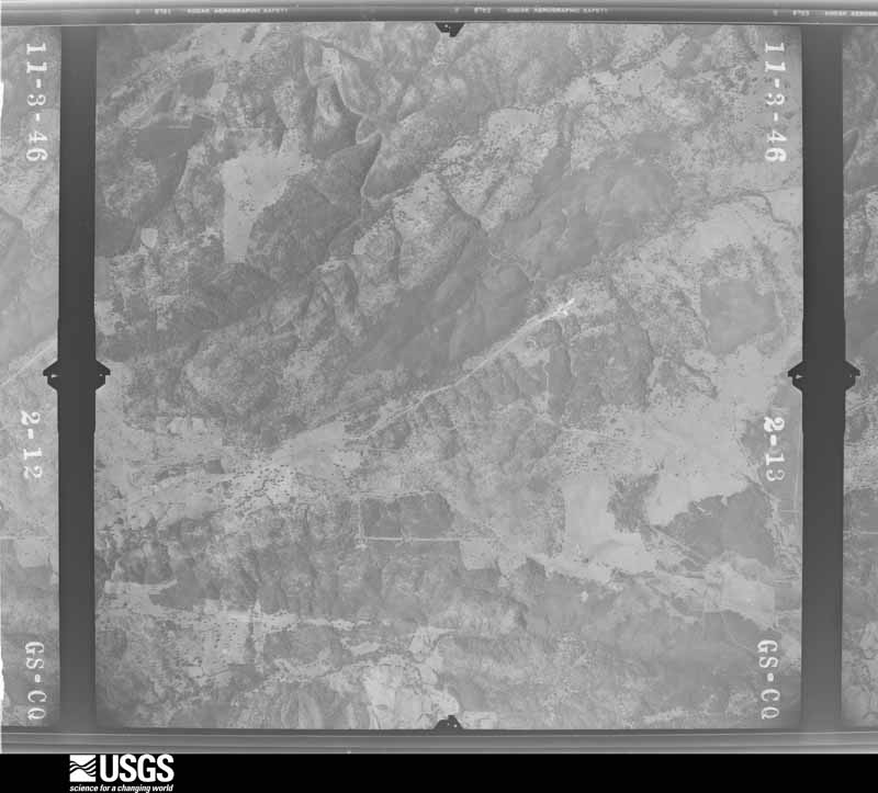
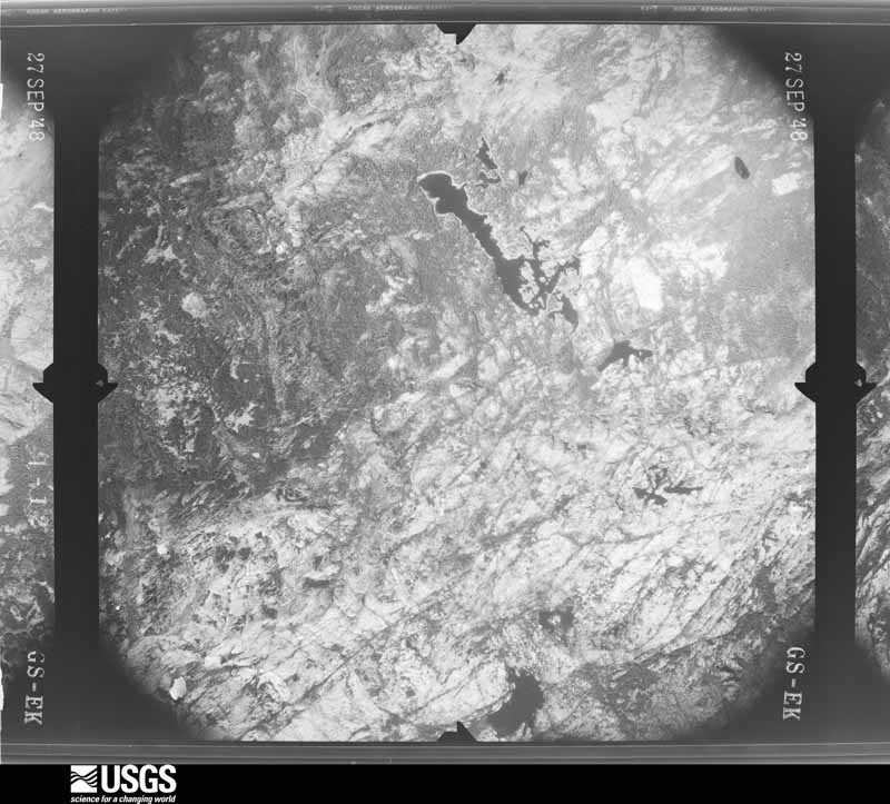
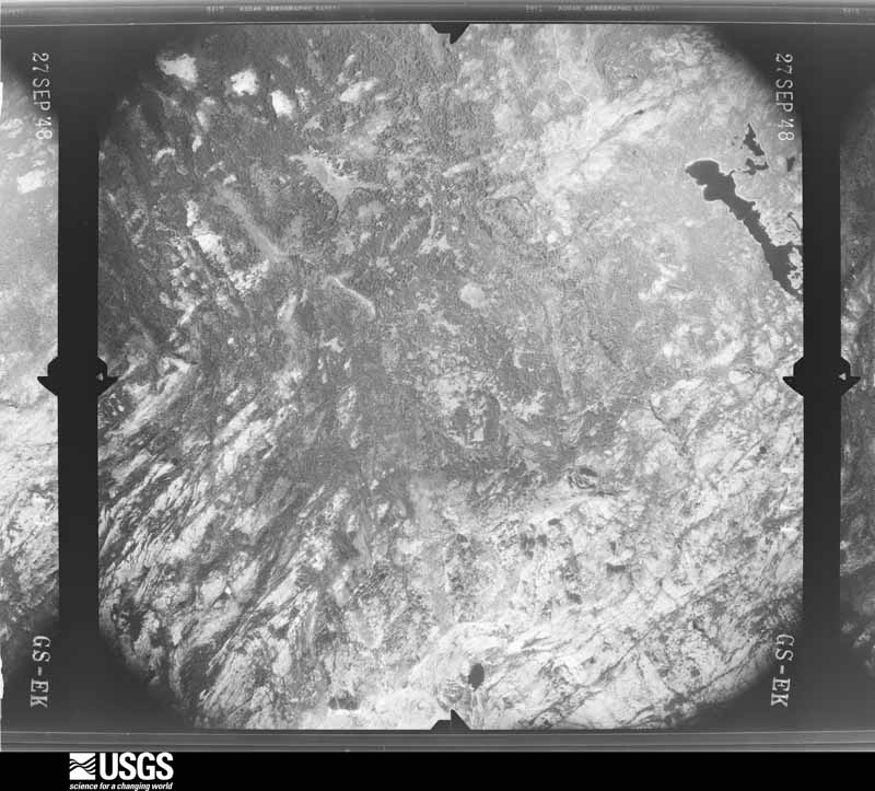
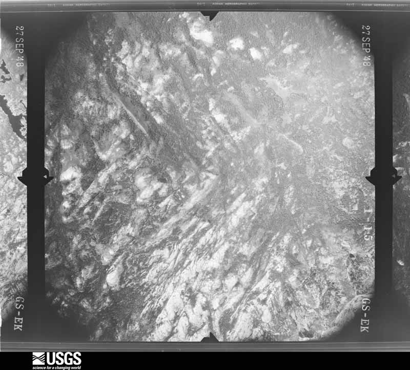
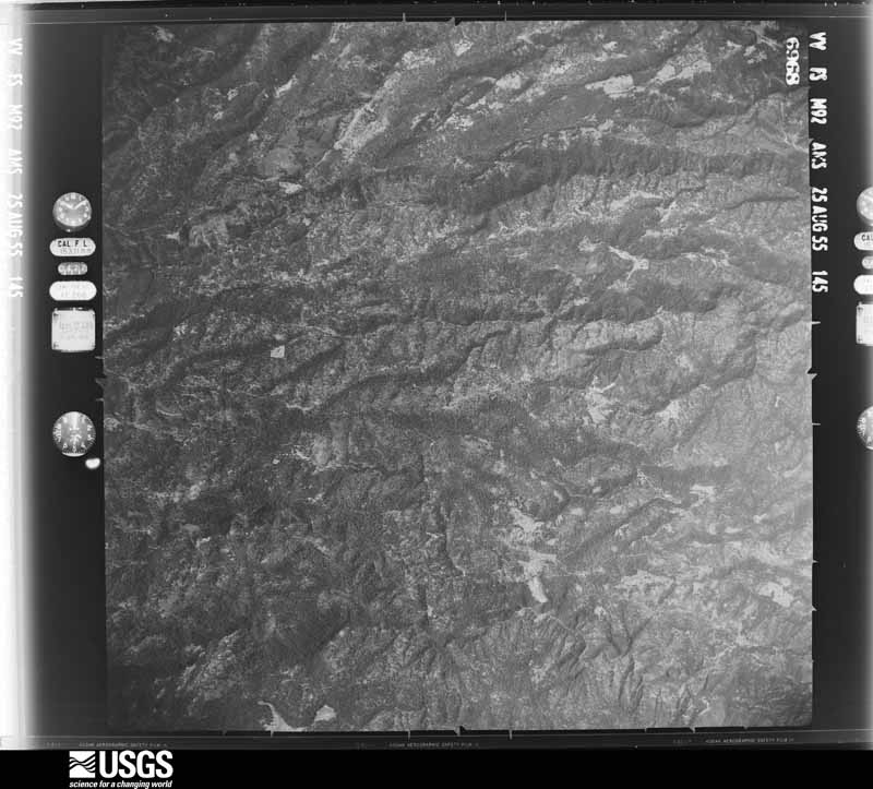
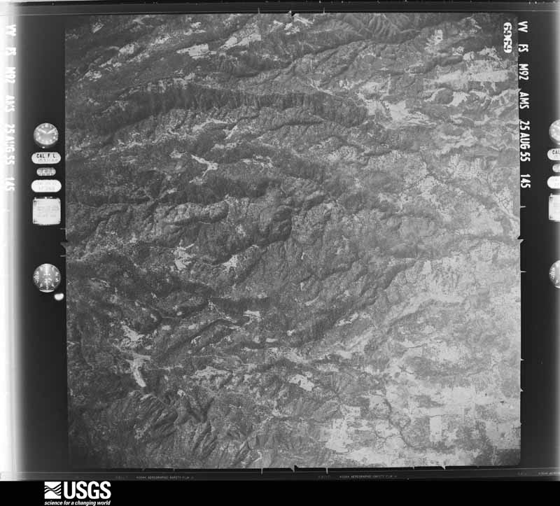
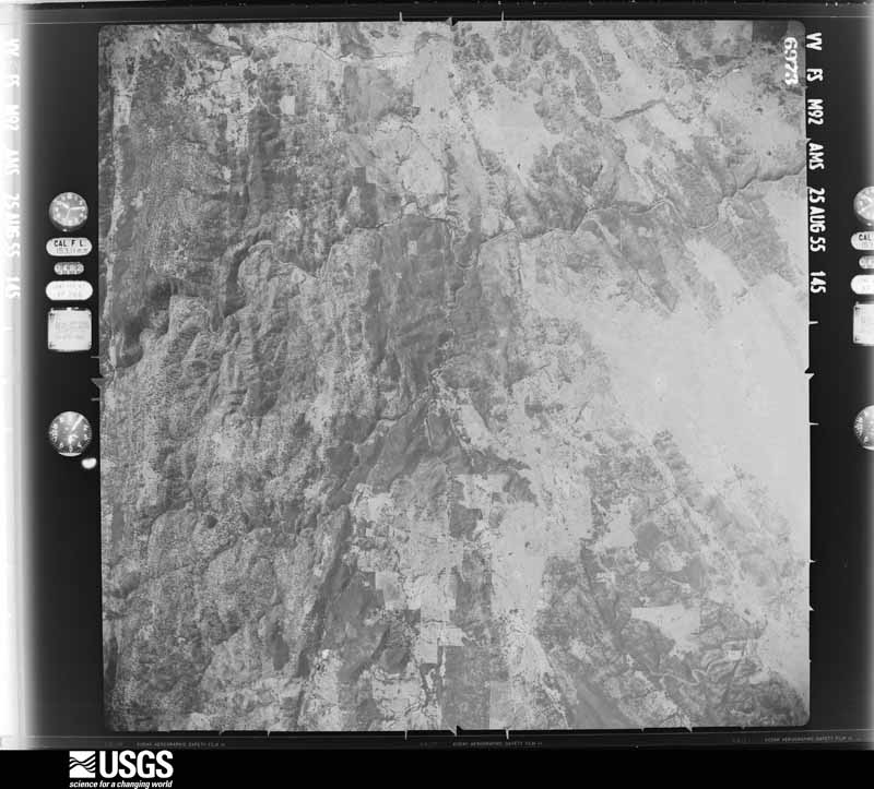
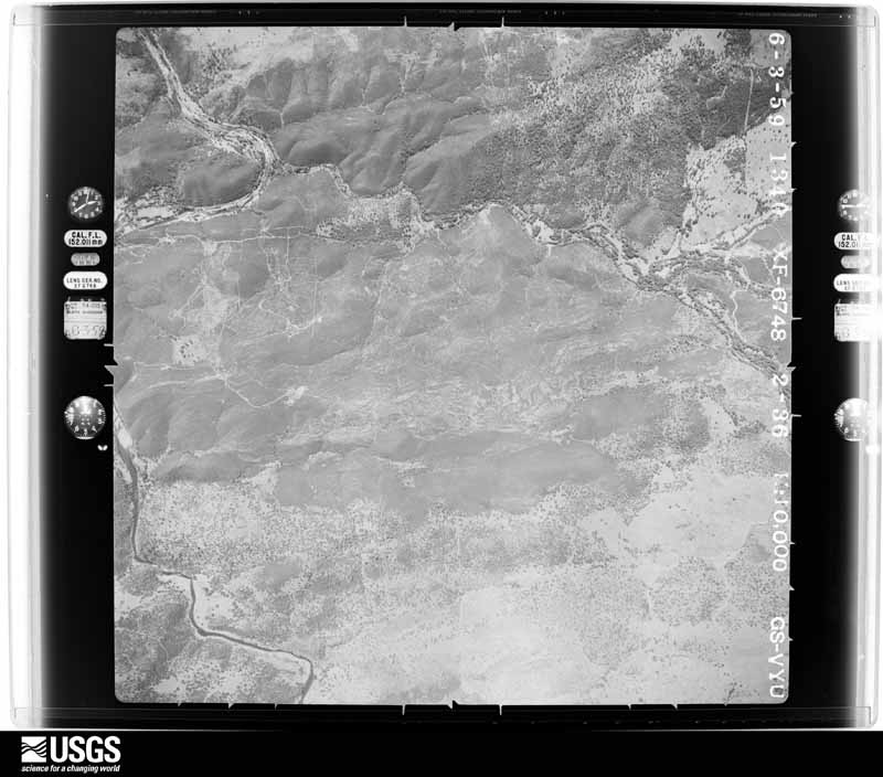
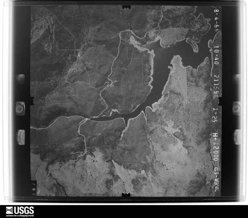
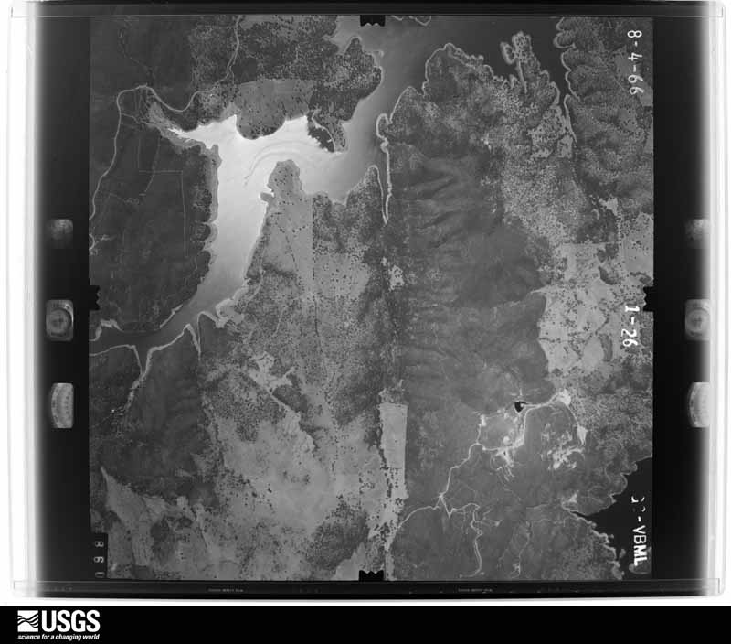
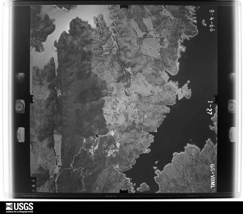
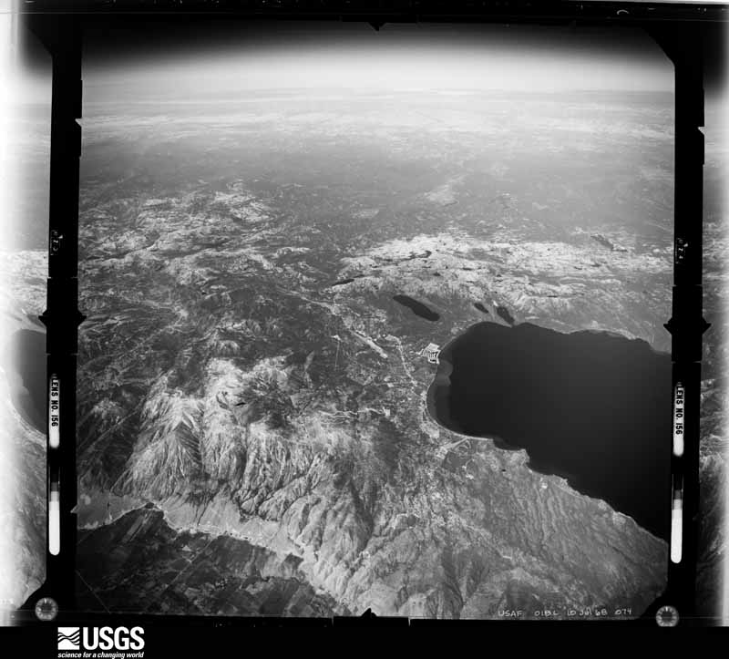
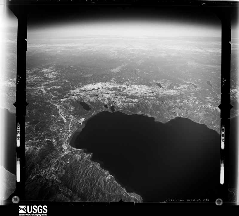
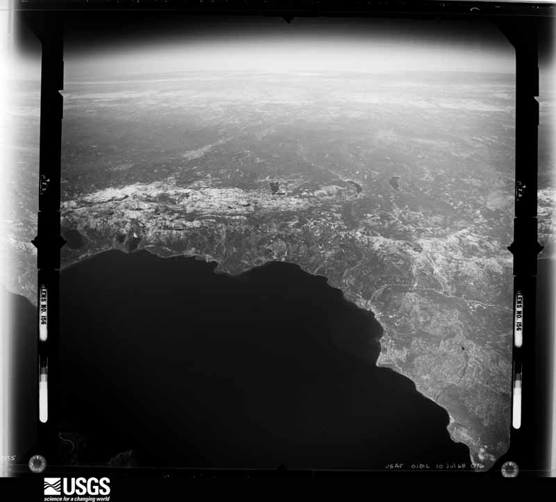
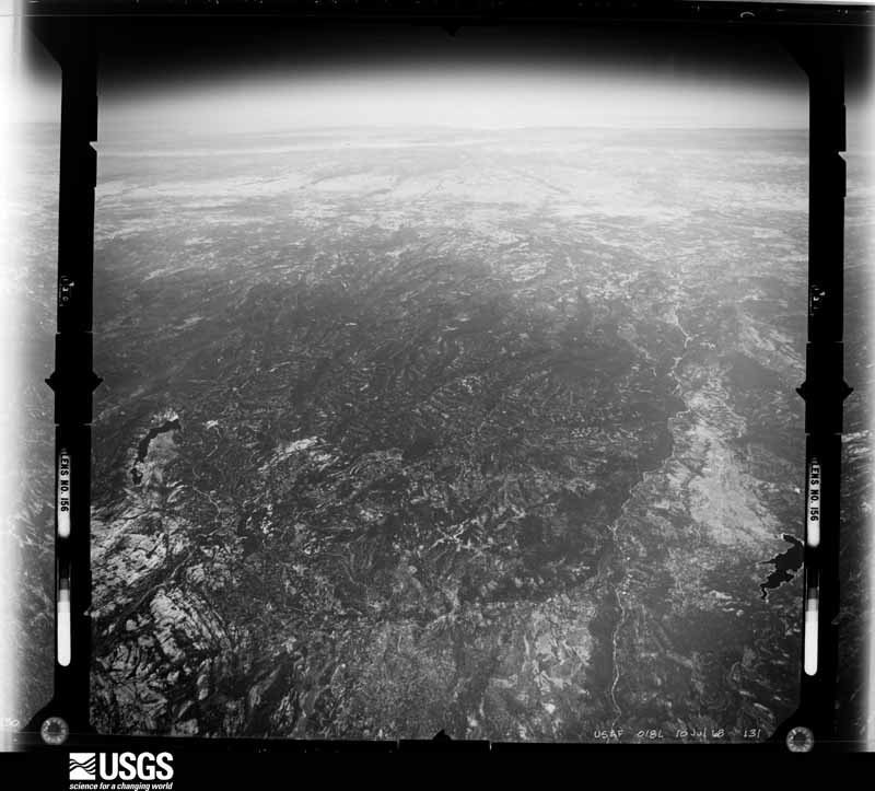
Flown by the U.S. Geological Survey
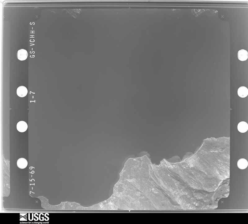
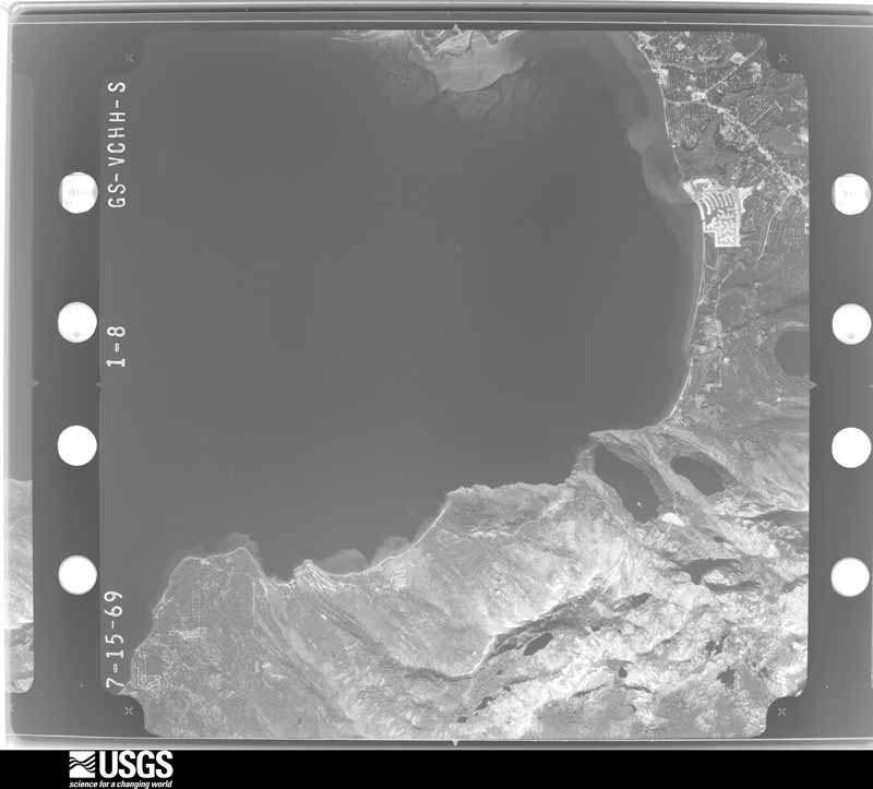
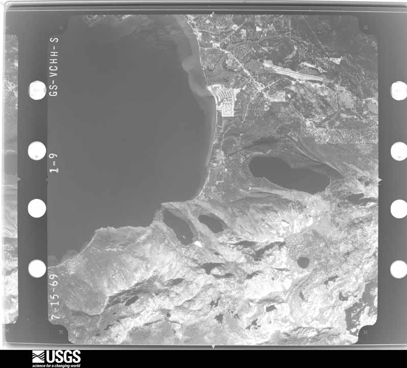
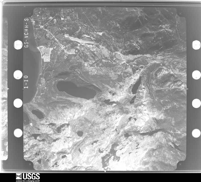
between 1937 and 1989, the Aerial Photo Single Frames collection is
the definitive mid-century view of the land: fields, roads and rivers
as the camera saw them. The Survey holds 4,306 frames inside the
rectangle that bounds this county; the 48 frames below were taken over
the county itself, chosen across the decades of flights (at most four
a year from that rectangle), so one flight cannot crowd out the rest.
The full set is free to browse and download at
EarthExplorer under the dataset Aerial Photo Single
Frames.
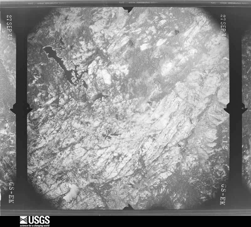
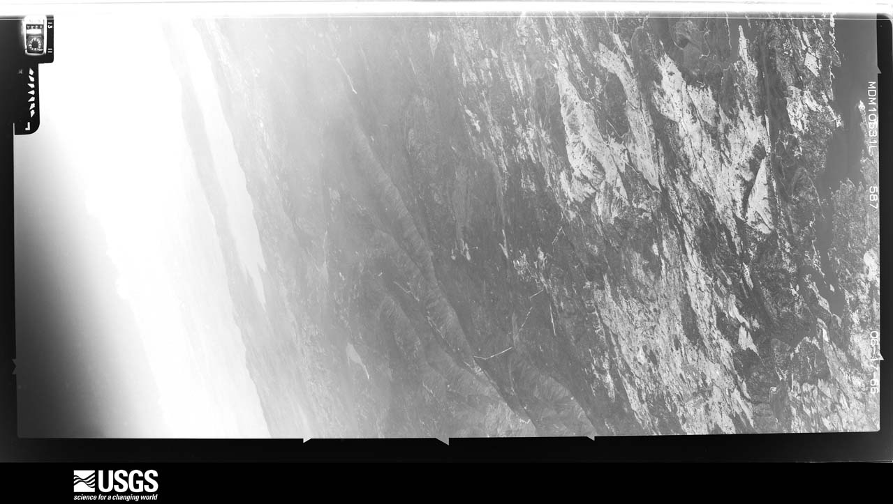
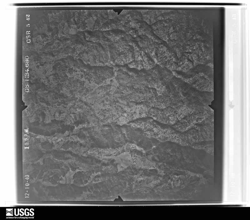
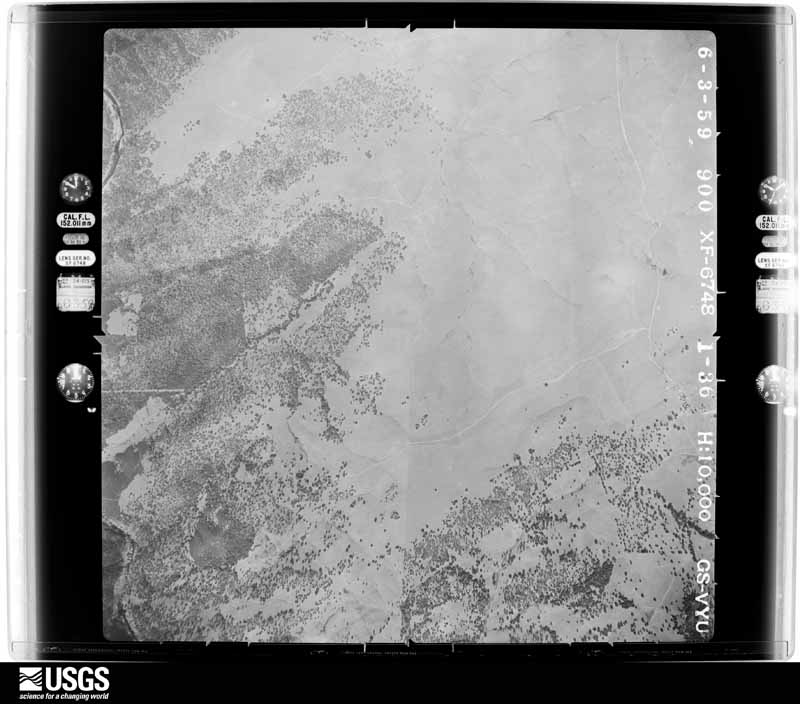
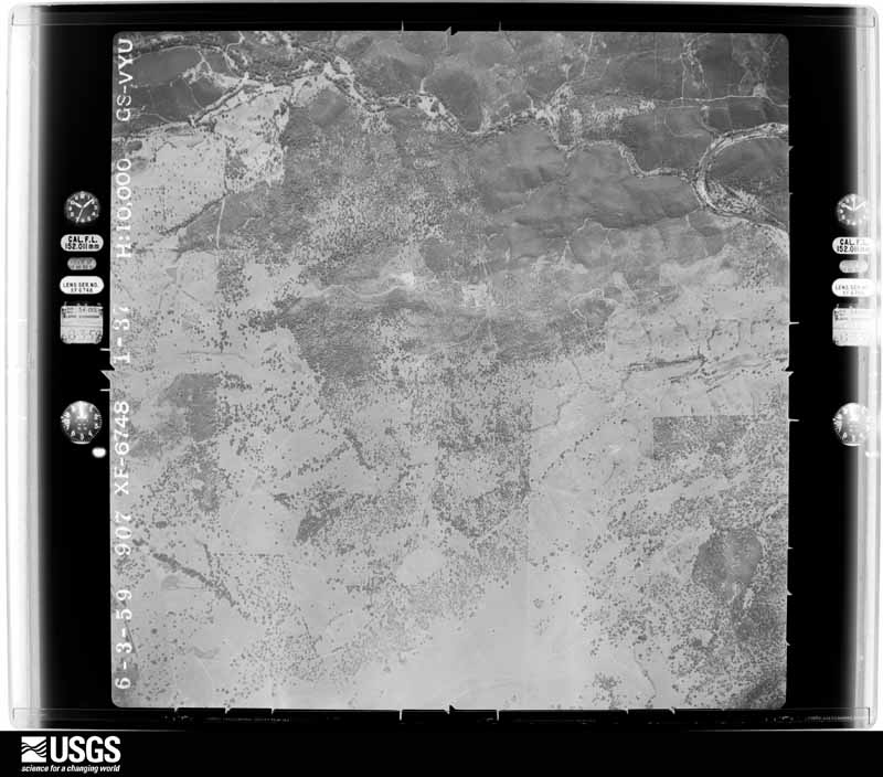
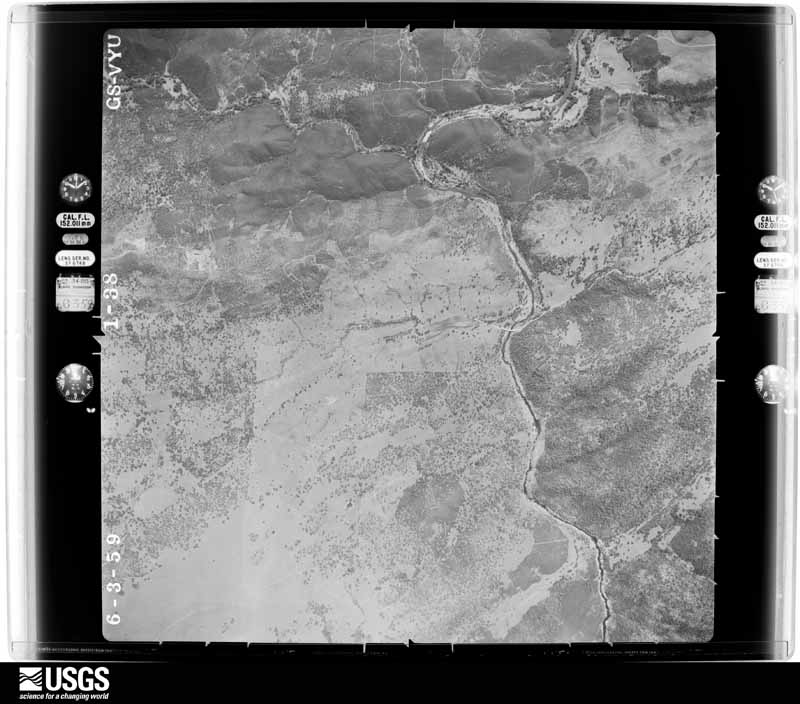
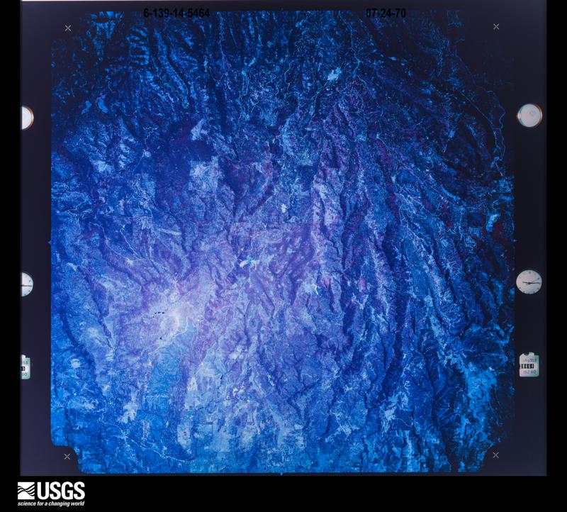
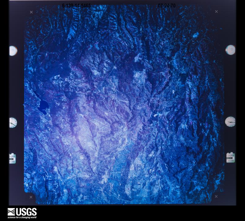
1946-11-27, scale 1:37400. U.S. Geological Survey aerial photograph.1946-11-27, scale 1:37400. U.S. Geological Survey aerial photograph.1948-10-21, scale 1:43200. U.S. Geological Survey aerial photograph.1954-08-06, scale 1:63000. U.S. Geological Survey aerial photograph.1966-06-17, scale 1:21670. U.S. Geological Survey aerial photograph.1940-12-10, scale 1:34680. U.S. Geological Survey aerial photograph.1940-12-10, scale 1:34680. U.S. Geological Survey aerial photograph.1940-12-10, scale 1:34680. U.S. Geological Survey aerial photograph.1940-12-10, scale 1:34680. U.S. Geological Survey aerial photograph.1946-11-27, scale 1:37400. U.S. Geological Survey aerial photograph.1946-11-27, scale 1:37400. U.S. Geological Survey aerial photograph.1948-10-21, scale 1:43200. U.S. Geological Survey aerial photograph.1948-10-21, scale 1:43200. U.S. Geological Survey aerial photograph.1948-10-21, scale 1:43200. U.S. Geological Survey aerial photograph.1952-07-15, scale 1:23600. U.S. Geological Survey aerial photograph.1952-07-15, scale 1:23600. U.S. Geological Survey aerial photograph.1952-07-15, scale 1:23600. U.S. Geological Survey aerial photograph.1952-07-15, scale 1:23600. U.S. Geological Survey aerial photograph.1953-06-01, scale 1:26500. U.S. Geological Survey aerial photograph.1953-06-01, scale 1:26500. U.S. Geological Survey aerial photograph.1953-06-01, scale 1:26500. U.S. Geological Survey aerial photograph.1953-06-01, scale 1:26500. U.S. Geological Survey aerial photograph.1954-08-06, scale 1:63000. U.S. Geological Survey aerial photograph.1954-08-06, scale 1:63000. U.S. Geological Survey aerial photograph.1954-08-06, scale 1:63000. U.S. Geological Survey aerial photograph.1955-08-25, scale 1:63000. U.S. Geological Survey aerial photograph.1955-08-25, scale 1:63000. U.S. Geological Survey aerial photograph.1955-08-25, scale 1:63000. U.S. Geological Survey aerial photograph.1955-08-25, scale 1:63000. U.S. Geological Survey aerial photograph.1956-11-26, scale 1:62000. U.S. Geological Survey aerial photograph.1956-11-27, scale 1:62000. U.S. Geological Survey aerial photograph.1959-06-03, scale 1:20000. U.S. Geological Survey aerial photograph.1959-06-03, scale 1:20000. U.S. Geological Survey aerial photograph.1959-06-03, scale 1:20000. U.S. Geological Survey aerial photograph.1959-06-03, scale 1:20000. U.S. Geological Survey aerial photograph.1966-08-05, scale 1:24000. U.S. Geological Survey aerial photograph.1966-08-05, scale 1:24000. U.S. Geological Survey aerial photograph.1966-08-05, scale 1:24000. U.S. Geological Survey aerial photograph.1968-07-01, scale 1:122000. U.S. Geological Survey aerial photograph.1968-07-01, scale 1:122000. U.S. Geological Survey aerial photograph.1968-07-01, scale 1:122000. U.S. Geological Survey aerial photograph.1968-07-01, scale 1:122000. U.S. Geological Survey aerial photograph.1969-07-15, scale 1:80000. U.S. Geological Survey aerial photograph.1969-07-15, scale 1:80000. U.S. Geological Survey aerial photograph.1969-07-15, scale 1:80000. U.S. Geological Survey aerial photograph.1969-07-15, scale 1:80000. U.S. Geological Survey aerial photograph.1970-07-24, scale 1:124000. U.S. Geological Survey aerial photograph.1970-07-24, scale 1:119432. U.S. Geological Survey aerial photograph.
Weather records
55 stations, 91 gages
The thermometers that kept this county's weather, and the gages that measured the flow of its streams, as the federal records hold them. The extremes below are measured values from those records, not estimates.
GEORGETOWN1893 to 1967, hottest 40.6 C, coldest -10.0 C
PLACERVILLE1900 to 2010, hottest 46.1 C, coldest -13.3 C
Who lived here in 1950, one enumeration
district at a time, as the Census Bureau described each district.
Each row opens its official National Archives result, with Population
Schedules and ED Maps available there.
9-3Diamond Springs, unincorporated comprising part of Diamond Springs and Mud Springs Judicial Townships: Diamond Springs, unincorporated - That part in Diamond Springs Judicial Township Bounded by Southern Pacific Railroad, Judicial Township line; East line of Section 19, T. 10 N., R. 11 E., East line of Section 30, T. 10 N., R. 11 E.; County Rd. 77, State Hwy. 65; Judicial townshin line;
9-4Diamond Springs, unincorporated - That part in Diamond Springs Judicial Township Bounded by State Hwy. 65, County Rd. 77; East line of Section 30, T. 10 N., R. 11 E.; South line of Section 40, T. 10 N., R. 11 E.; Judicial Township line
9-5Diamond Springs, unincorporated - That part in Mud Springs Judicial Township Bounded by Southern Pacific Railroad; Judicial Township line; South line of section 25, T. 10 N., R. 10 E.; Half section line of Section 25 and Section 24, T. 10 N., R. 10 E.
9-6Diamond Springs Judicial Township - That part outside Diamond Springs, unincorporated (See separate map for boundary of Diamond Springs) (Remainder of Diamond Springs Judicial townshin is in Diamond Springs, unincorporated)
9-14Mud Springs Judicial Township - That part outside Diamond Springs, unincorporated (See separate map for boundary of Diamond Springs); Show separately Shingle Springs Indian Rancheria (Remainder of Mud Springs Judicial Township is in Diamond Springs, unincorporated)
9-15Placerville Judicial Township: Placerville city: Placerville city - That part Bounded by City limits; City limits; Broadway, Market, Union extended, Union; Bedford Ave.
9-16Placerville city - That part Bounded by City limits; Bedford Ave.; Union; Coloma, City limits
9-17Placerville city - That part Bounded by Coloma; High, Spring, Canal, Main, City limits; City limits
9-18Placerville city - That part Bounded by Main, Canal, Spring, High, Coloma, Union, Bedford Ave., Union; Clay, Cedar Ravine; City limits; City limits
9-19Placerville city - That part Bounded by Union, Union extended, Market, Broadway; City limits; City limits; City limits, Cedar Ravine, Main, Clay
9-20Placerville Judicial Township - That part east of South Fork American River and Plum Creek
Every wildfire the federal occurrence
database records inside this county: 7,736 of them, burning
about 174,778 acres. 785 started naturally and 443 were recorded as arson. Each settlement page carries the fires within
five miles of it.
Reported cause
Fires
Missing data/not specified/undetermined
2111
Equipment and vehicle use
1550
Debris and open burning
1269
Recreation and ceremony
794
Natural
785
Arson/incendiarism
443
Smoking
290
Misuse of fire by a minor
277
Power generation/transmission/distribution
163
Other causes
39
Fireworks
14
Firearms and explosives use
1
The five largest, by the area the report
gives. None of them was recorded as arson.
Date
Cause
Size
Reported by
Name on the report
13 September 2014
Missing data/not specified/undetermined
97,717 acres
Eldorado National Forest
KING
29 September 1992
Missing data/not specified/undetermined
24,580 acres
Eldorado National Forest
CLEVELAND
13 October 2004
Power generation/transmission/distribution
7,700 acres
Eldorado National Forest
FREDS
28 June 2016
Missing data/not specified/undetermined
5,646 acres
Central California District
TRAILHEAD
25 July 2014
Equipment and vehicle use
4,240 acres
Amador-El Dorado Unit
SAND
10 October 2019
Debris and open burning
3,434 acres
Eldorado National Forest
CAPLES
24 June 2007
Recreation and ceremony
3,100 acres
Lake Tahoe Basin Management Unit
ANGORA
25 November 2002
Debris and open burning
2,400 acres
Eldorado National Forest
HUNTER.
Every settlement page carries the fires within five
miles of it - see the settlement index below.
Storms,
1972 to 2026
60 of 238 shown
The
NOAA Storm Events Database holds
238 reports for this county, causing 8 deaths, no injuries and about $29,136,000 in recorded property damage.
Each settlement page carries the reports that name it.
Kind of event
Reports
Heavy Rain
139
Flood
51
Hail
22
Debris Flow
11
Tornado
5
Thunderstorm Wind
5
Flash Flood
3
Wildfire
1
Funnel Cloud
1
The most serious of them, by death, then
injury, then recorded damage. The accounts are quoted exactly as the
forecast office filed them.
Buoy data on Lake Tahoe indicated a northerly wind gust of 45 mph from nearby showers and collapsing thunderstorms. This caused significant waves on Lake Tahoe, with multiple boats damaged and one boat capsized near Emerald Bay, causing 8 fatalities out of the 10 on board. The two that survived were wearing life jackets, while the other 8 did not.
A large sinkhole on US50 near Bridal Veil Falls Rd. closed the westbound lanes. The damage remained through the spring and requires large scale repairs, with four lanes of the road have been reduced to two, one lane in each direction.|Crews demolished the westbound lanes, and stabilized the slope down to the river and and began erecting a retaining wall that will hold up the new westbound lanes.|The process will likely take several months and could cost an estimated $6.5 million.
Heavy rain fell in areas with significant snow berms and blocked storm drains, resulting in substantial flooding to around 50 homes in the Meyers area. Some of the worst flood damage was seen on Nahane Dr and Wailaki St per a KCRA news article. The end time of the flooding is estimated. Damage estimates are also roughly estimated.
A tornado touched down at Folsom Lake, and tracked eastward through El Dorado Hills, damaging business and home roofs, and knocking down fences and trees. The tornado continued eastward about 6 miles into Cameron Park, though it was not on the ground continuously. More roofs, trees, and fences were damaged in Cameron Park. No injuries were reported, though a large tree narrowly missed falling on a vehicle with a family of 4.
Localized flooding was reported in areas south of Lake Tahoe. Sierra Pacific Power Company reported that at least eight power poles were knocked down, most likely due to the saturated ground. Power lines were also downed when trees fell on them. Around 4,000 people were left without power south of Lake Tahoe. This was the all-time record flood on Trout Creek in South Lake Tahoe and Tahoe Valley, flooding U.S. Highway 50. General Creek flooded California Highway 89 at Sugar Pine Point State Park.
Heavy rain combined with snow berms and clogged storm drains to bring flooding to around 10 homes in South Lake Tahoe starting on the 8th. Bill and Shirley Avenues saw the most flooding damage per a KCRA news article. The damages are roughly estimated.
At approximately 1:17 pm an EF1 tornado developed near the town of Latrobe in El Dorado County, which is about four miles south of El Dorado Hills. The maximum wind speed of the tornado was estimated at 100 mph with a damage path of two miles. No injuries or fatalities have been reported. There was damage to the roof of one commercial building, a single power pole, a water tank, and to numerous trees.||Witness reports were crucial to the conclusion of the damage assessment as there was not a great deal of damage from which to distinguish between tornadic, downburst, or straight line winds. The conclusion of an EF1 designation was based primarily upon the damage caused to the oak trees in the damage path.
Large amounts of small hail were reported covering the ground like snow in Georgetown. Photos on Twitter also showed hail completely covering the ground at nearby Garden Valley. This hail created very slippery driving conditions on area roads.
Trained spotter reported heavy rain with reduced visibility and roadway flooding of Cameron Park Drive and Durock Road with 2/3 of the road under water.
California Highway Patrol reported a rock slide from heavy rain across the entire lane at Rock Creek Rd and SR 193 at the eastbound junction, half of the way to Swansboro from Heavy Rain.
California Highway Patrol reported a bunch of rocks in the roadway from heavy rain blocking the northbound lanes at Salmon Falls Road and Dorado Ridge Trail.
Caltrans Kyburz Maintenance responded to a mudslide near the Caldor Fire Burn Scar on Eastbound Highway 50 near Strawberry on July 20th, as thunderstorms were producing locally heavy rain over the mountains on this day. The slide did not impact traffic. No observations were available in the area but radar estimated rain amounts of around an inch in under an hour.
ASOS (KTVL-South Lake Tahoe Airport) located 3.0 mi N of Meyers, CA, and mesonet station EW3758 (Meyers) located 1.0 mi NNE of Meyers, CA, reported total rainfall amounts of 0.57 inches and 0.55 inches respectively.
California Highway Patrol reported a slide of mud, dirt, and large rocks in the southbound lane at Gallagher Road and Salmon Falls Road from heavy rain.
COCORAHS Station (CA-ED-20) located 2.0 mi NW of Meyers, CA, reported 24 hour heavy rainfall totals of 8.32 inches during the period from 12/31/22 through 1/1/23.
On January 3 in El Dorado County, a 33 year-old male drowned in the South Fork of the American River near Coloma, CA. It is unknown how he ended up in the river.
A mesonet station (HGNC1-SNOTEL) located 4.3 mi N of Luther Pass, CA, and a mesonet station (ECOC1-SNOTEL) located 3.5 mi NE of Twin Bridges, CA, rainfall storm totals of 0.50 and 0.60 inches respectively.
A COCORAHS, CA-ED-20, located 2.0 mi NW of Meyers, CA, and CA-ED-9 located at Tahoma, CA, both reported 24-hour rainfall totals of 2.11 inches.
Mines and
quarries
2,750 recorded
The Survey's mineral resources record
lists 2,750 workings inside this county. 45 still produce and 2,705 are closed or unrecorded. Each
settlement page carries the workings within five miles of it.
Commodity
Workings
Gold
2377
Chromium
140
Copper
69
Silver
44
Stone, Crushed/Broken
31
Tungsten
19
Slate, Dimension
19
Talc-Soapstone
13
Manganese
12
Stone
12
Iron
11
Gold, Silver
9
Sand and Gravel, Construction
8
Lead
7
The least common of them first, because a
county's hundredth gravel pit says nothing its first ten did not.
Historical Souvenir of El Dorado County, California : with Illustrations and Biographical Setches of Its Prominent Men & Pioneers (1883)
2,297 words
The county's history books
175,066 words
One book written about this county, cut here
where the book itself is cut, at its printed chapters: 33 chapters in all.
Every chapter is public domain, machine-read from the scan and
reproduced complete. A chapter already given under one of the county's
towns is not repeated in this list.
Historical Souvenir of El Dorado County, California : with Illustrations and Biographical Setches of Its Prominent Men & Pioneers (1883)
Everyone Historical Souvenir of El Dorado County, California : with Illustrations and Biographical Setches of Its Prominent Men & Pioneers stops to write about, with
the section that describes them. Among them are the men who founded the
place and governed the Territory. Each name opens the passage itself, in
the words of 1883.
Named settlements recorded in the Geographic Names
Information System, each with the topographic sheets covering it. Villages,
hamlets and abandoned places alike. Each is shown with the nearest named
watercourse or landform and the survey quadrangle it falls on. The 3 places that were also surveyed for fire insurance come first, with the number of atlases and photographs held for them.
The complete index, with nothing left out.
Each of these is a separate record with its own page: a federal survey
report, or the case file that argued a property on to the National
Register. Both are public domain and reproduced word for word.
Topographic sheets. USGS Historical Topographic Map Collection, county index, measured from the bulk metadata.
Fire insurance maps. Library of Congress Sanborn collection, faceted to this county.
Photographs. Each place queried individually against the Library of Congress Prints and Photographs search.
Wildfire. Short, Karen C. 2022. Spatial wildfire occurrence data for the United States, 1992-2020 [FPA_FOD_20221014]. 6th Edition. Fort Collins, CO: Forest Service Research Data Archive. https://doi.org/10.2737/RDS-2013-0009.6 Collected with United States Government funding and usable without additional permissions or fees.
Mines and quarries. USGS Mineral Resources Data System (MRDS) https://mrdata.usgs.gov/mrds/ A work of the United States government, no copyright under 17 U.S.C. 105.
Storms. NOAA National Centers for Environmental Information, Storm Events Database https://www.ncei.noaa.gov/stormevents/ A work of the United States government, no copyright under 17 U.S.C. 105. Narratives are quoted verbatim from the National Weather Service report and are not edited or summarised.
 Block