 Block
Coloma, California
34 topographic sheets cover this place, the earliest surveyed in 1891 and the latest in 1976. It stands in the North El Dorado census division. It lies in ZIP code area 95667. It stands on Dutch Creek. The Survey maps it on the Coloma quadrangle. 521 people lived here at the 2020 count. It stands 764 feet above sea level.
Then and now
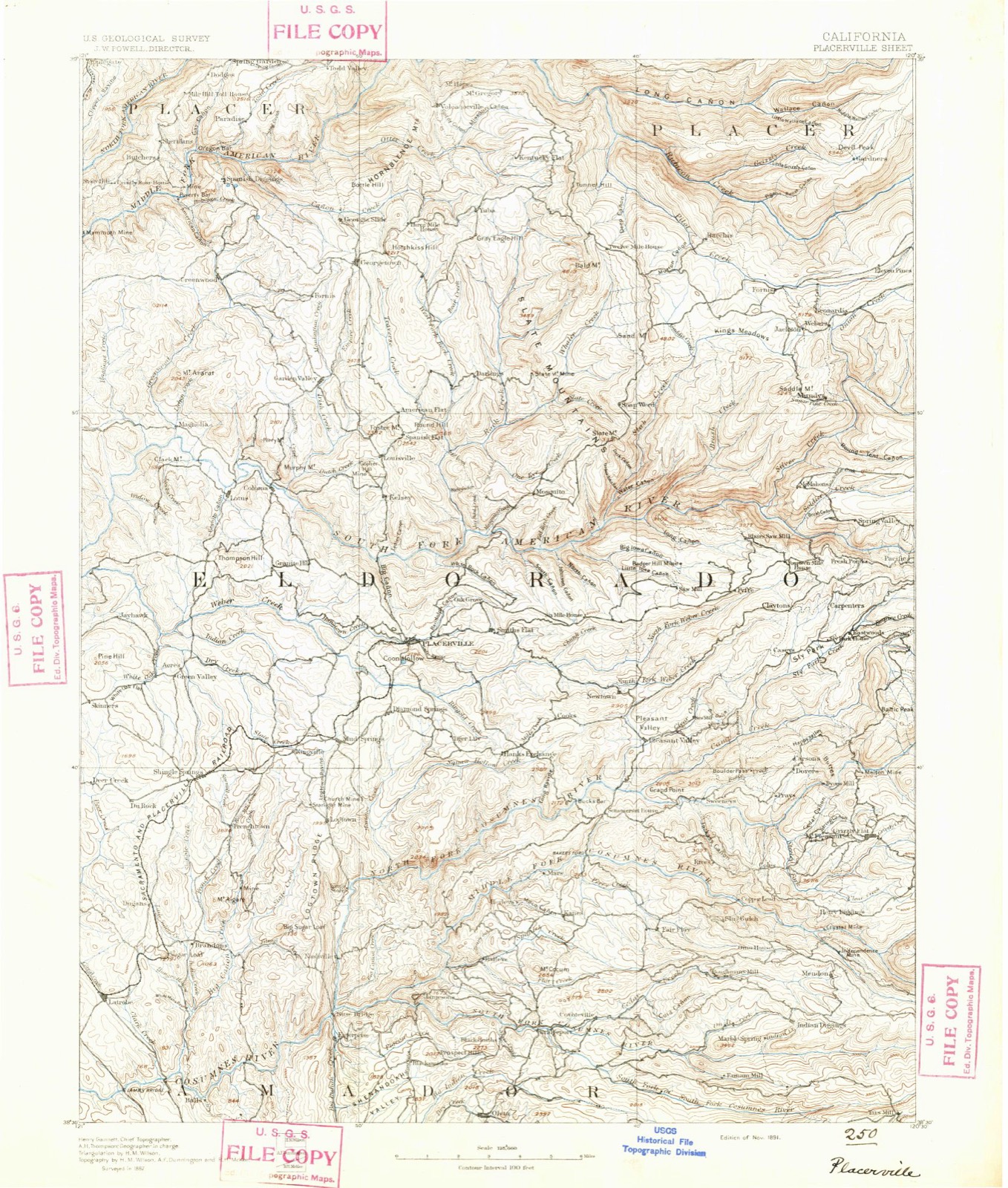
1891 to 1976The same ground, surveyed 85 years apart. Drag the handle to wipe between them. Both sheets are United States Geological Survey originals; neither has been altered.
On record in Coloma
Buildings and businesses the archive holds for this place. Each opens its own page, with the source record it came from.
On the National Register 1 record
- Coloma Community Halllisted 2025
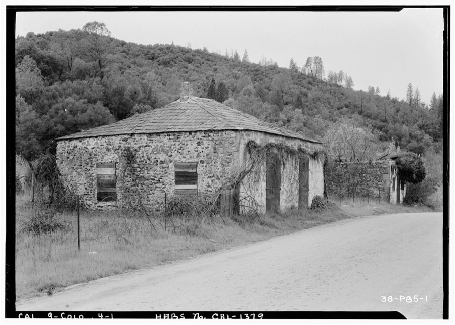
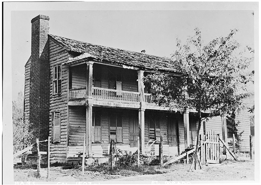
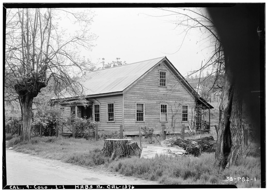
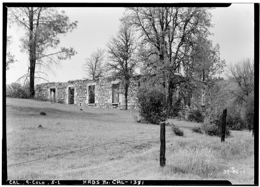
Surveyed buildings and structures 8 records
- Barn, Colomafederal building survey, 1 photograph
- Chinese Store (Ruins), Main Street, Colomafederal building survey, 1 photograph
- House, Colomafederal building survey, 1 photograph
- James W. Marshall Cabin, Marshall Monument Road, Colomafederal building survey, 3 photographs
- Meyer's Dance Hall & Saloon, Shingle Spring Road, Colomafederal building survey, 2 photographs
- Post Office, Main Street, Colomafederal building survey, 1 photograph
- Sierra Nevada Hotel, Colomafederal building survey, 1 photograph
- Sutter's Mill, American River (submerged), Colomafederal building survey, 5 photographs
Population over time
2 figuresColoma fell from 529 to 521 between 2010 and 2020. These are the recorded population figures Wikidata holds for this place, reached through the Geographic Names Information System number this page is keyed on rather than by name, so they belong to this place and not to another of the same name. Most are census counts, but not all are: an early figure may be a founding or settlement estimate, and an estimate published within five years of a census is left out. The change column is computed, and is left blank where more than 20 years separate a figure from the one before it, because a gap that long is not a change between two counts.
| Year | People | Change |
|---|---|---|
| 2010 | 529 | |
| 2020 | 521 | -8 (-2%) |
Topographic sheets covering this place
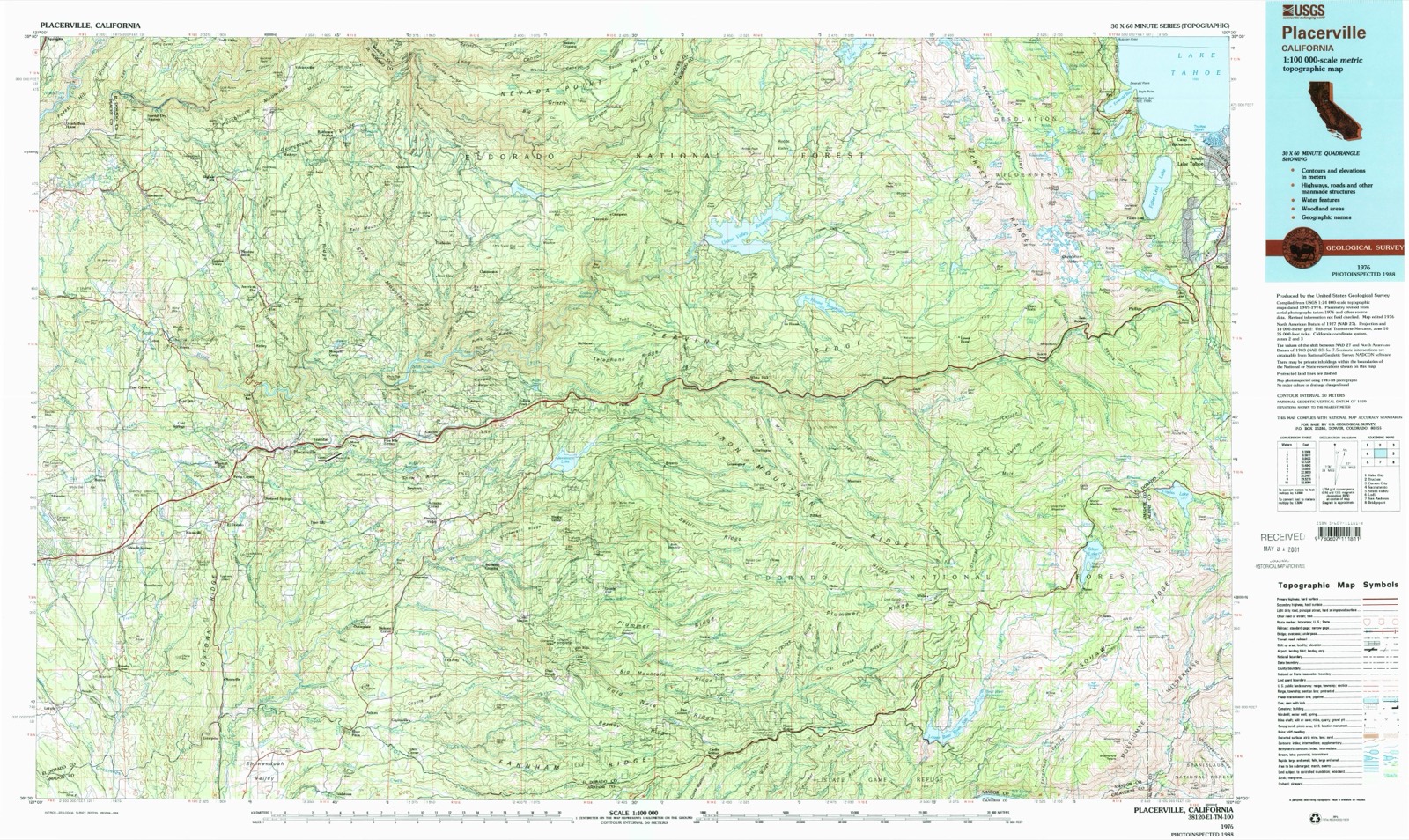
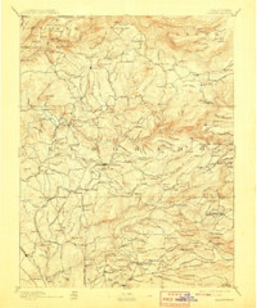
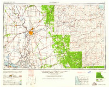
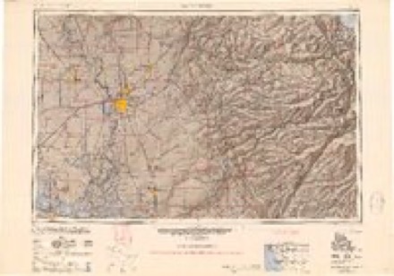
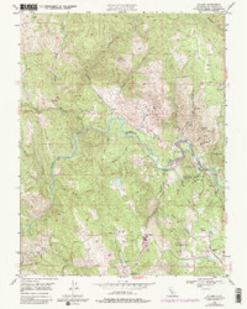
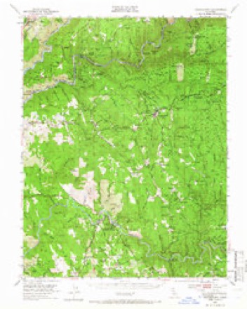
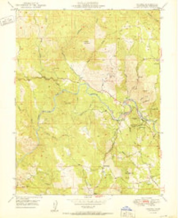
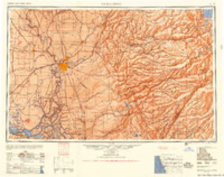
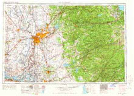
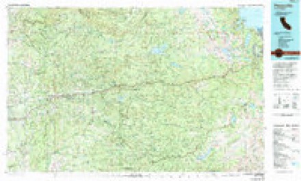
11 surveys from 34 printed sheetsMatched by testing this settlement's coordinate against the published boundary of every sheet in the United States Geological Survey's historical collection. Each opens the scanned sheet at the Survey.
- 1891 USGS Placerville quadrangle1:125000
- 1892 USGS Placerville quadrangle1:125000
- 1893 USGS Placerville quadrangle1:125000, 9 printings
- 1947 USGS Sacramento quadrangle1:250000, 2 printings
- 1948 USGS Sacramento quadrangle1:250000
- 1949 USGS Coloma quadrangle1:24000, 6 printings
- 1949 USGS Georgetown quadrangle1:62500, 5 printings
- 1950 USGS Coloma quadrangle1:24000
- 1956 USGS Sacramento quadrangle1:250000, 2 printings
- 1957 USGS Sacramento quadrangle1:250000, 4 printings
- 1976 USGS Placerville quadrangle1:100000, 2 printings
What the histories say of this town
3,995 words1 chapter about Coloma from the published histories of the county, public domain and reproduced complete.
| Chapter | From | Length |
|---|---|---|
| Historical Souvenir of El Dorado County, California : with Illustratio | Historical Souvenir of El Dorado County, California : with Illustrations and Biographical Setches of Its Prominent Men & Pioneers (1883) | 3,995 words |
Photographs
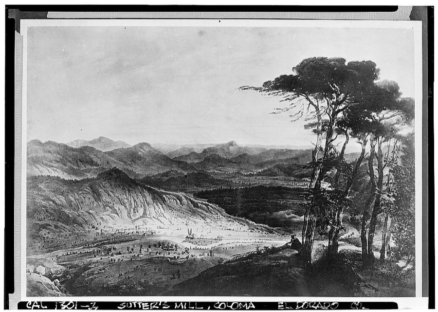
8 photographs, 2012Taken for the Office of War Information and the Farm Security Administration, who photographed the country between 1935 and 1944. Works of United States government photographers, with no known restriction on use. Each opens its catalogue record.
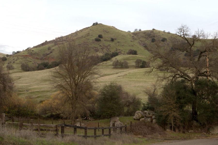
Highsmith, Carol M, 2012. Library of Congress
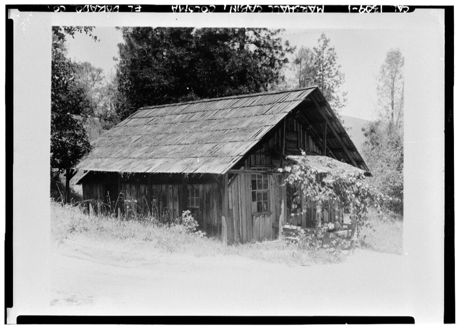
Photographer not recorded. Library of Congress
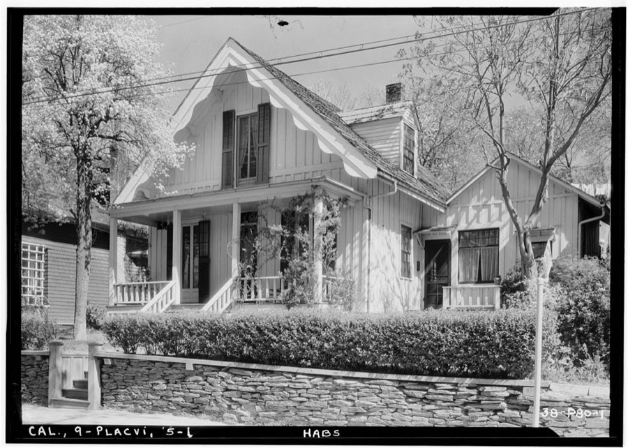
Photographer not recorded. Library of Congress
Photographer not recorded. Library of Congress
Photographer not recorded. Library of Congress
Photographer not recorded. Library of Congress
Photographer not recorded. Library of Congress
Photographer not recorded. Library of Congress
Fires near this place
564 since 1992Regional context, not property-specific evidence. The federal wildfire occurrence database lists 564 fires within 5 miles of Coloma between 1992 and 2020, burning about 2,160 acres in total. 13 started naturally. 48 were recorded as arson. Distance is straight-line from the map coordinates, so a fire counted here may appear on a neighbouring settlement's page as well.
| Reported cause | Fires |
|---|---|
| Missing data/not specified/undetermined | 173 |
| Equipment and vehicle use | 144 |
| Debris and open burning | 132 |
| Arson/incendiarism | 48 |
| Power generation/transmission/distribution | 16 |
| Smoking | 15 |
| Natural | 13 |
| Misuse of fire by a minor | 11 |
| Other causes | 6 |
| Recreation and ceremony | 5 |
| Fireworks | 1 |
The most recent of them, most recent first, with the day each was reported and the service that recorded it.
| Date | Cause | Size | Reported by | Name on the report |
|---|---|---|---|---|
| 9 September 2017 | Missing data/not specified/undetermined | under an acre | California Department of Forestry & Fire Protection | BOOT |
| 9 September 2015 | Smoking | under an acre | Amador-El Dorado Unit | BEALS RD GOLD_HILL |
| 9 September 2013 | Equipment and vehicle use | under an acre | Amador-El Dorado Unit | MARSHALL |
| 9 September 2007 | Missing data/not specified/undetermined | under an acre | Amador-El Dorado Unit | TANGLEWOOD |
| 9 September 1999 | Missing data/not specified/undetermined | 1.0 acres | Central California District | COLOMA |
| 9 September 1999 | Natural | under an acre | Central California District | COLOMA 2 |
| 8 September 2017 | Missing data/not specified/undetermined | under an acre | California Department of Forestry & Fire Protection | COLD |
| 8 September 2009 | Equipment and vehicle use | 1.0 acres | Amador-El Dorado Unit | LOTUS |
Settlements close enough to share some of these fires:
Mines and quarries near this place
10 of 390 shownRegional context, not property-specific evidence. The federal mineral resources record lists 390 workings within 5 miles of Coloma: 193 occurrences, 98 unknowns, 93 past producers, 6 producers. 6 still produce. What was taken out: Gold, Chromium, Slate, Dimension, Copper. Distance is straight-line from the map coordinates, so a quarry counted here may appear on a neighbouring settlement's page as well.
| Where | Site | Commodity | Status | Recorded |
|---|---|---|---|---|
| El Dorado | Copper, Gold, Silver, Zinc, Nickel | Past Producer | Replacement | |
| Funny Bug | Gold, Copper, Zinc, Antimony, Molybdenum, Lead | Past Producer | Bornite, Chalcopyrite, Galena, Gold, Malachite, Molybdenite, Pyrite, Sphalerite, Stibnite | |
| Funny Bug Pendelco | Gold, Copper | Occurrence | ||
| Kelsey | Gold, Lead | Past Producer | Galena, Gold, Pyrite | |
| Pioneer - Lilyama | Copper, Gold, Silver, Iron, Tungsten | Producer | Chalcopyrite, Idocrase, Pyrite | |
| Seven Bells | Copper, Gold | Occurrence | Vein | |
| Stuckslager Strucklager | Gold, Vanadium | Occurrence | ||
| Mccurdy Mine | Iron, Chromium | Past Producer | ||
| O'Brien Mine | Iron, Chromium | Past Producer | 1917, 1918 | |
| Pioneer-Lilyama Mine | Copper, Gold, Silver | Past Producer | 1870, 1944 |
Storms near this place
2 since 2015Regional context, not property-specific evidence. The National Weather Service names Coloma in 2 storm reports between 2015 and 2023: 1 hail, 1 flood. No death or injury is recorded in these reports. Each account below is quoted exactly as the forecast office filed it, from the NOAA Storm Events Database, and each date opens the federal record of that event.
| When | Event | Place named | Harm | What the report says |
|---|---|---|---|---|
| January 2023 | Flood | Coloma | - | On January 3 in El Dorado County, a 33 year-old male drowned in the South Fork of the American River near Coloma, CA. It is unknown how he ended up in the river. |
| November 2015 | Hail | Coloma | - | Quarter size hail covered the ground. |
Newspapers printed here
644 digitised pages1 paper published in this town, digitised by the Library of Congress and free to read: 154 issues, 644 pages. Every page is searchable, so a name or a street can be looked for directly in what the town printed about itself at the time.
| Newspaper | Published |
|---|---|
| The Empire County Argus | 1853 to 1857 |
What the paper printed
34,336 wordsFront pages of the local paper, read from the Library of Congress scans: 6 issues spread across its run from 1853 to 1856, 34,336 words in total. Each is reproduced on its own page, exactly as the recogniser returned it.
These pages read less well than anything else here, and the number is worth stating: about three words in four come through cleanly, against nine in ten for the building records. An 1896 broadsheet sets eight-point type in seven columns on microfilm, which is the hardest thing in this archive to read by machine. We tested our own recognisers against the Library's and they were not better, so the Library's text is what appears, with the wholly unreadable columns removed. Read it as a guide to what the paper covered, and follow the link to the scan before quoting anything.
| Issue | Paper | Length |
|---|---|---|
| 1853-11-19 | The Empire County Argus | 6,398 words |
| 1853-12-03 | The Empire County Argus | 6,495 words |
| 1853-12-24 | The Empire County Argus | 5,625 words |
| 1855-09-22 | The Empire County Argus | 5,651 words |
| 1855-10-13 | The Empire County Argus | 5,164 words |
| 1856-11-08 | The Empire County Argus | 5,003 words |
Nearest settlements
The eight closest, with where each one stands in the county. Distances are straight-line, computed from the Geographic Names Information System coordinates.
| Map | Place | Distance | Sheets |
|---|---|---|---|
| Koloma (historical) | 0.0 miles | 34 | |
| Lotus | 1.0 miles | 34 | |
| Gold Hill | 2.7 miles | 34 | |
| Kelsey | 3.7 miles | 32 | |
| Gold Trail Park | 3.9 miles | 32 | |
| Garden Valley | 4.1 miles | 32 | |
| Cold Springs | 4.1 miles | 34 | |
| Chili Bar | 4.3 miles | 32 |
Elsewhere
Matched on this settlement's Geographic Names Information System number rather than its name, so it cannot be a different place of the same name in another state.
| Wikipedia article on Coloma | An encyclopaedic summary. Its text is share-alike, so it is linked here rather than copied. |
| Wikidata item Q1110351 | The structured record the population and elevation above come from. Public domain (CC0). |
Provenance
This settlement is recorded in the Geographic Names Information System as feature 1655915. The sheet list is computed by point-in-boundary test against the United States Geological Survey's historical topographic inventory. Both are works of the United States government and carry no copyright under 17 U.S.C. 105.
Wildfire. Short, Karen C. 2022. Spatial wildfire occurrence data for the United States, 1992-2020 [FPA_FOD_20221014]. 6th Edition. Fort Collins, CO: Forest Service Research Data Archive. https://doi.org/10.2737/RDS-2013-0009.6 Collected with United States Government funding and usable without additional permissions or fees.
Mines and quarries. USGS Mineral Resources Data System (MRDS) https://mrdata.usgs.gov/mrds/ A work of the United States government, no copyright under 17 U.S.C. 105.
Storms. NOAA National Centers for Environmental Information, Storm Events Database https://www.ncei.noaa.gov/stormevents/ A work of the United States government, no copyright under 17 U.S.C. 105. Narratives are quoted verbatim from the National Weather Service report and are not edited or summarised.