 Block
BlockFrom the record
3 National Register listings published here.
Sources: the National Register database, National Park Service
158 topographic sheets cover 60 settlements here, and 3 properties are on the National Register of Historic Places.
3 National Register listings published here.
Sources: the National Register database, National Park Service
Every property in this county listed on the National Register of Historic Places, with the year it was listed and the federal nomination document.
| Photograph | Property | Type | Listed | Reference |
|---|---|---|---|---|
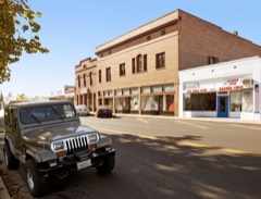 | Live Oak Historic Commercial District | district | 1998 | 97001657 |
| Vernon School | building | 2020 | 100005737 | |
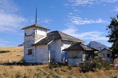 | West Butte Schoolhouse | building | 2016 | 16000167 |
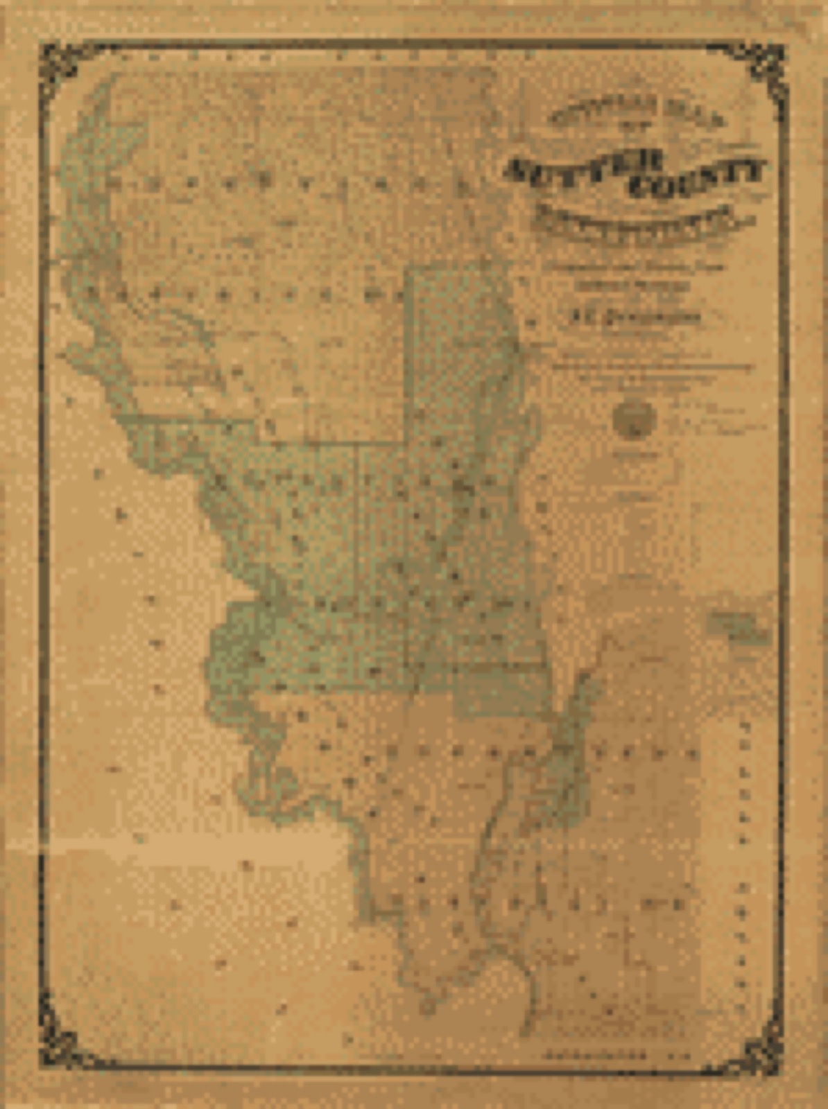
Drawn when these were printed as single large sheets: the town seen from the air, and the county divided into its farms with every owner named. Each opens the original at the Library of Congress.
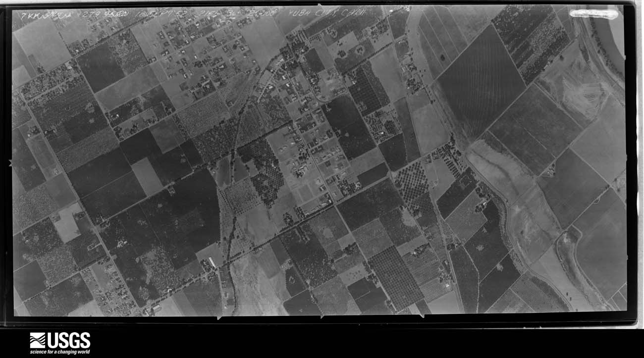
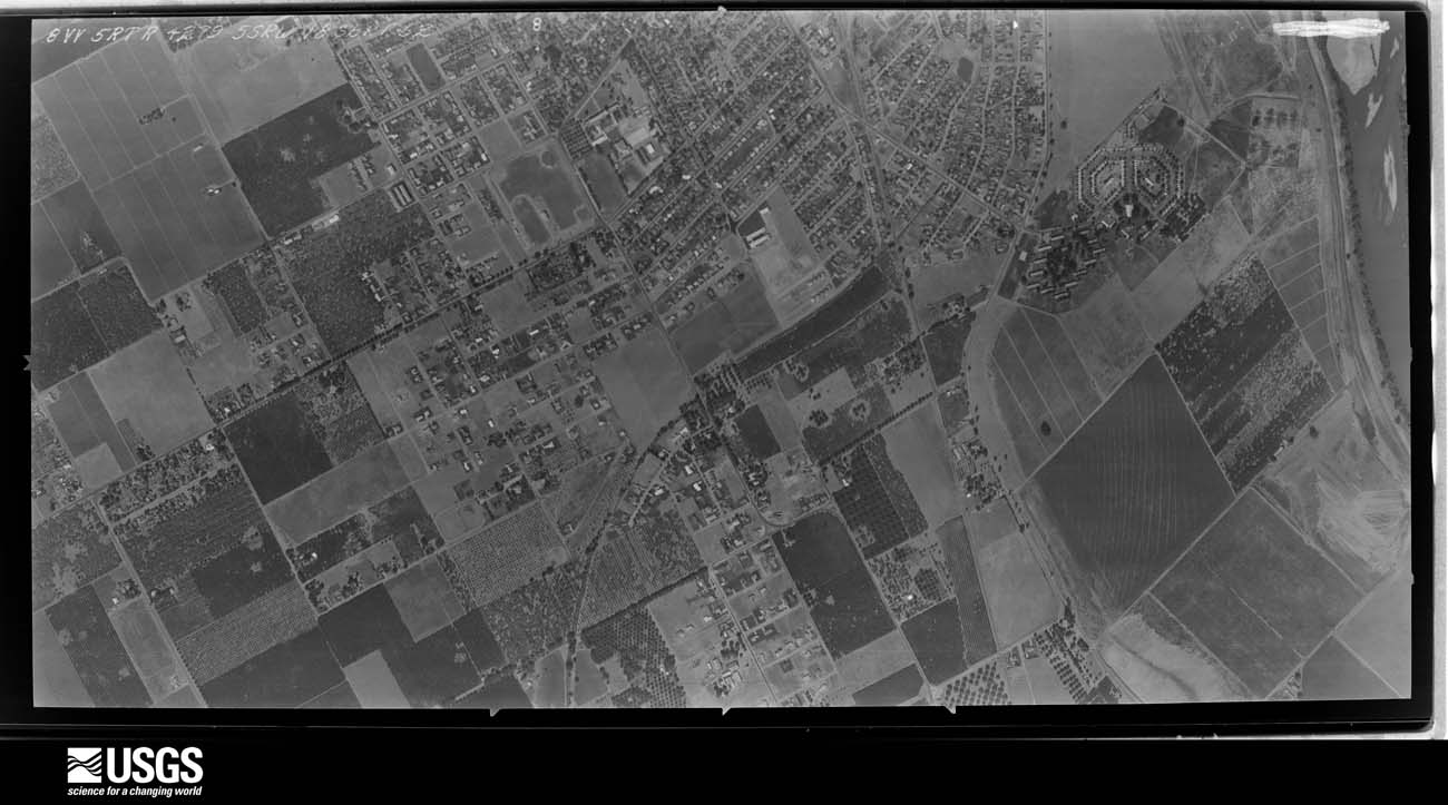
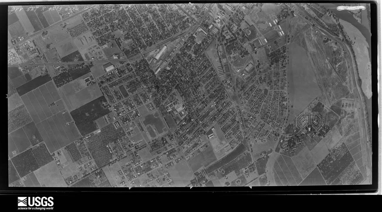
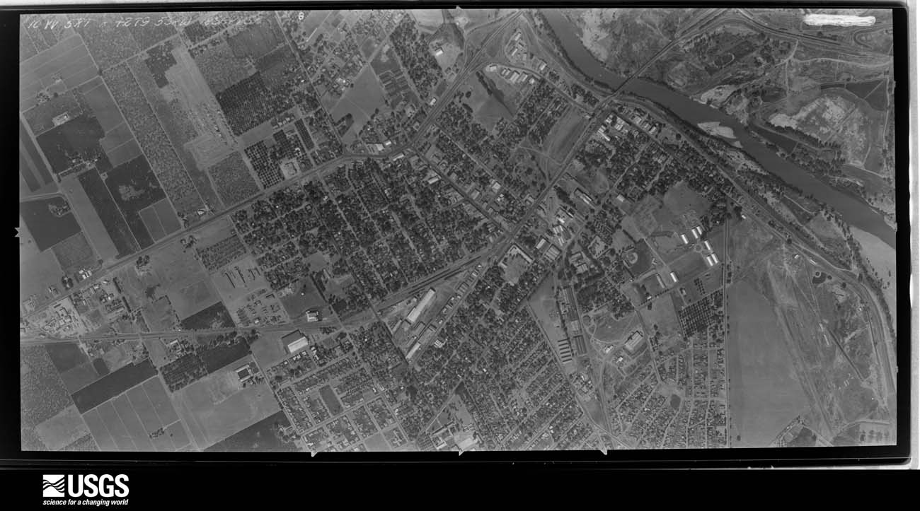
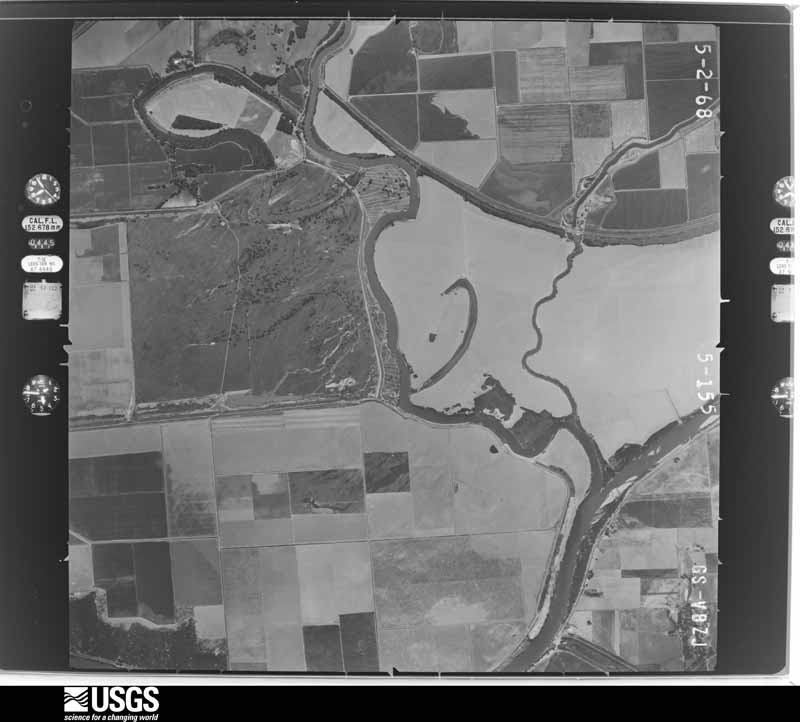
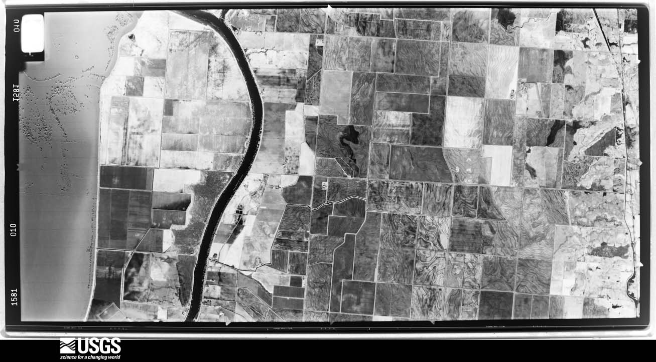
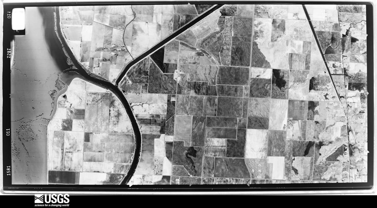
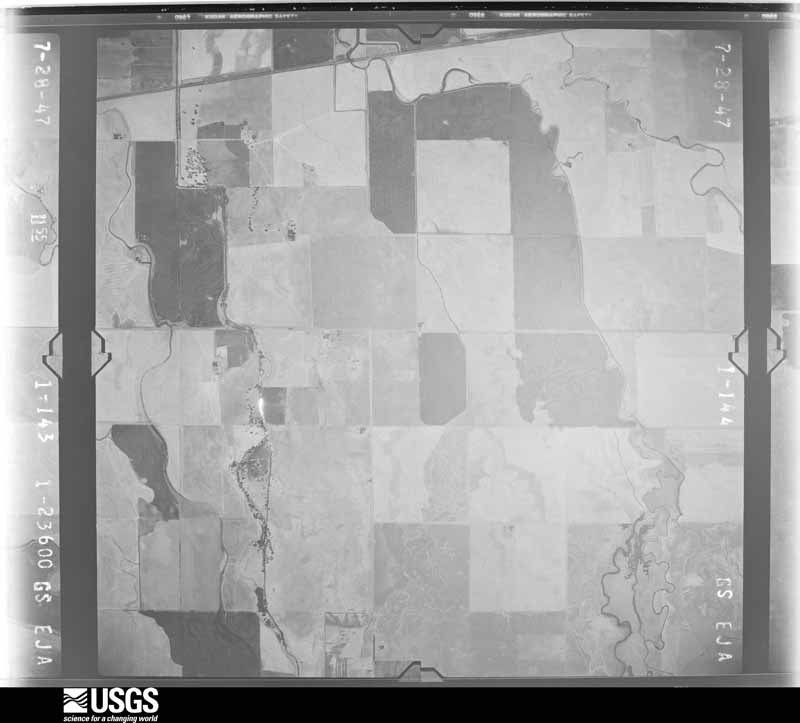
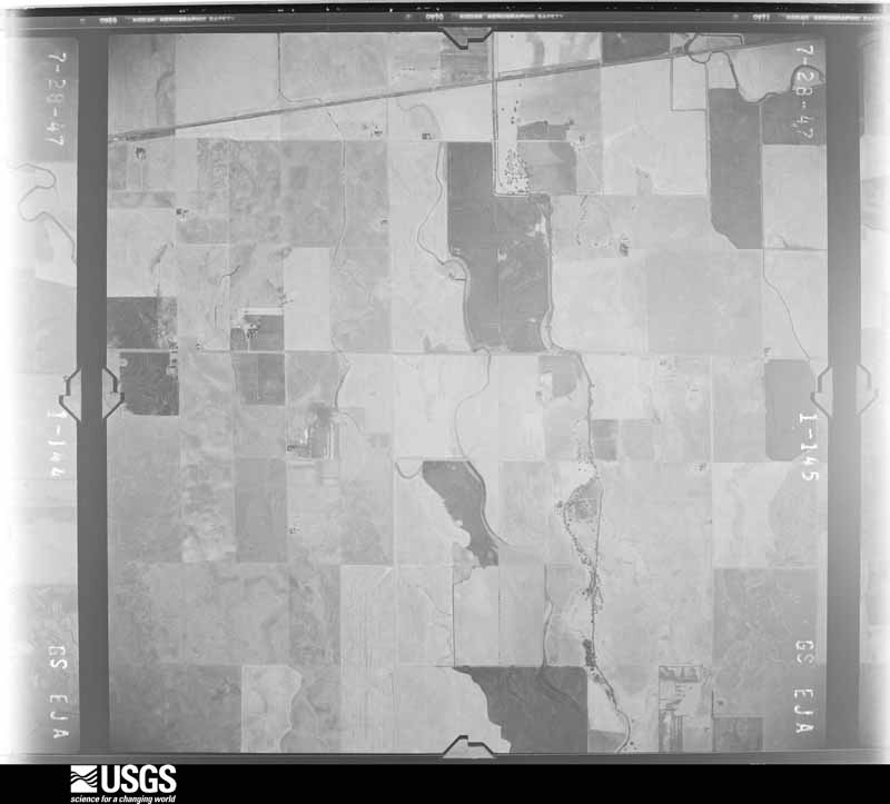
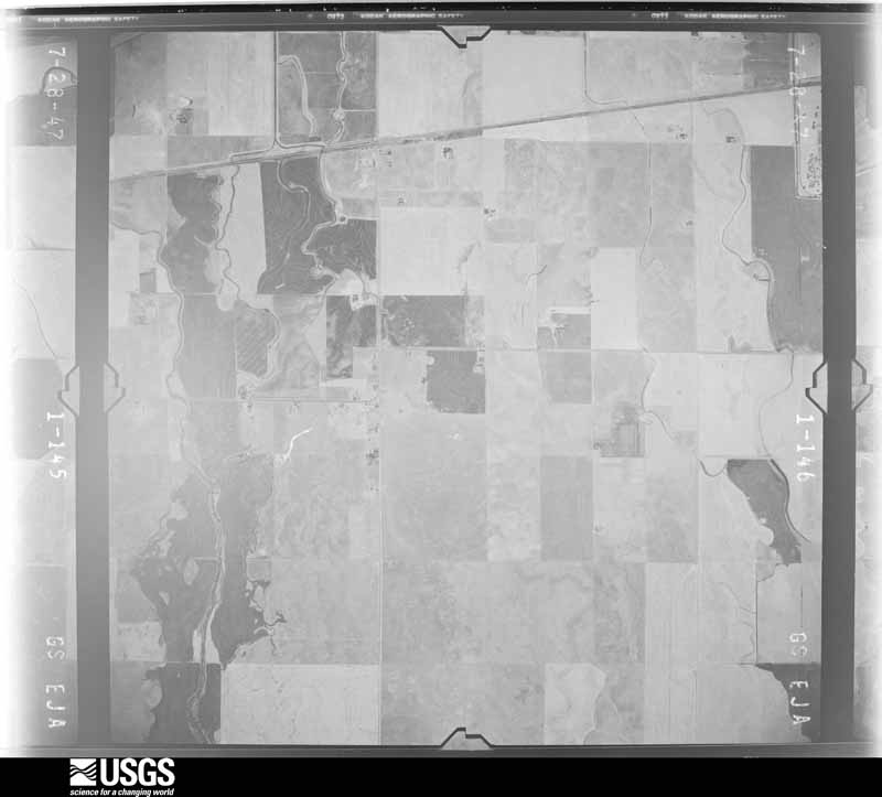
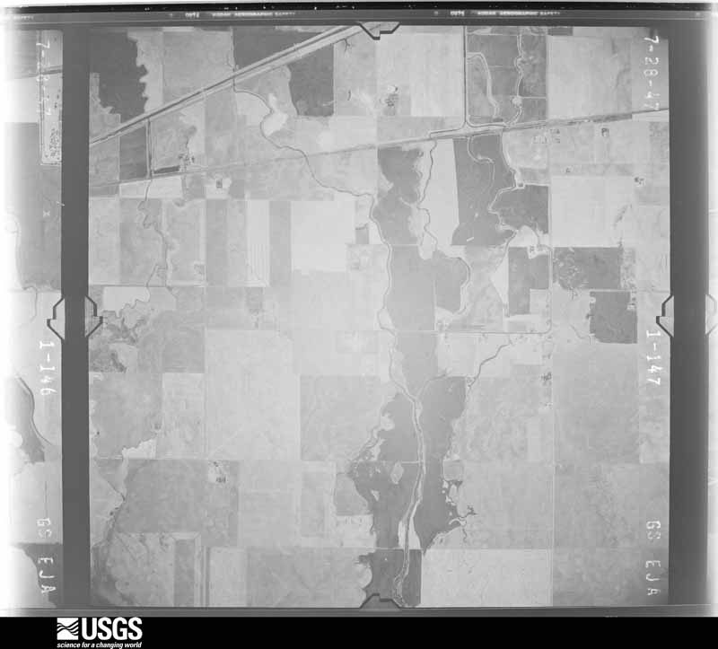
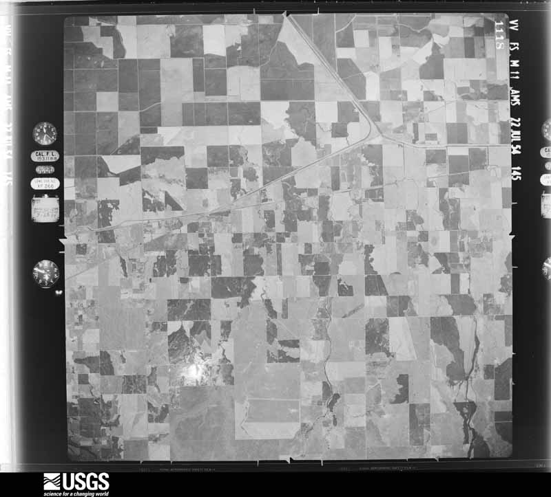
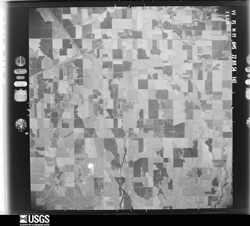
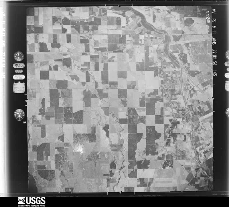
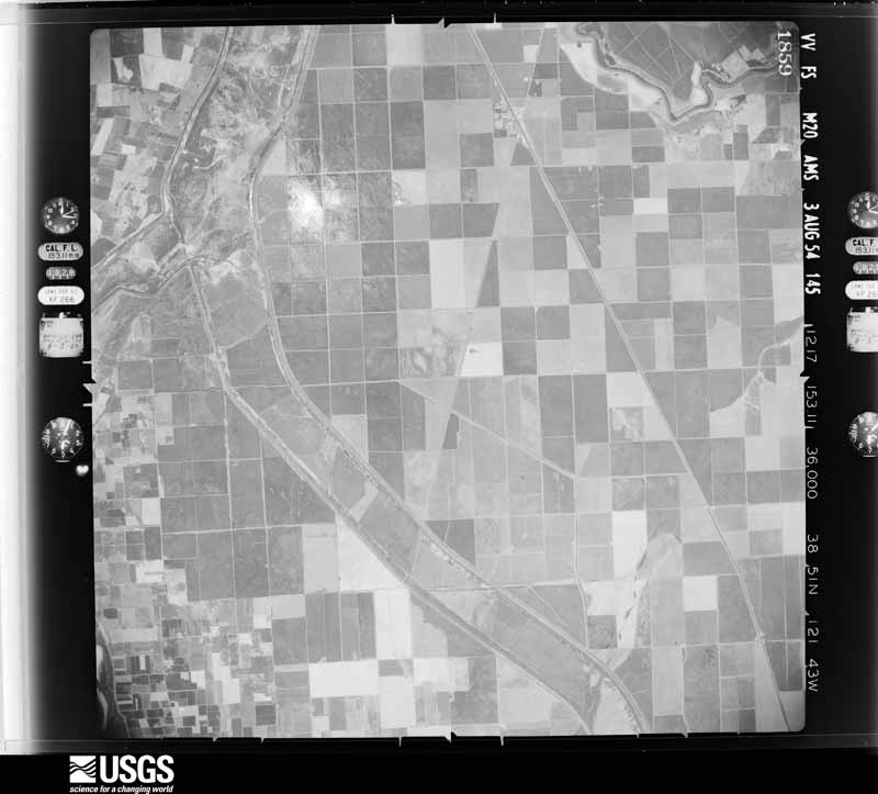
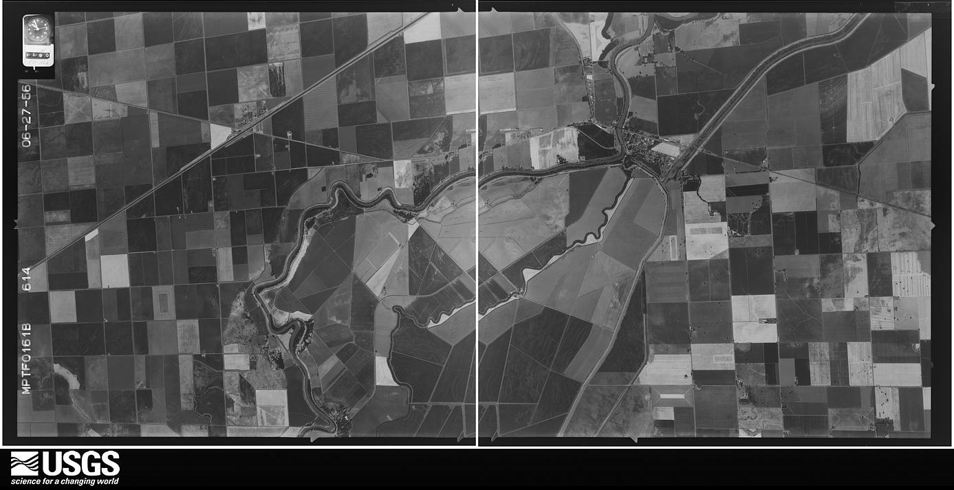
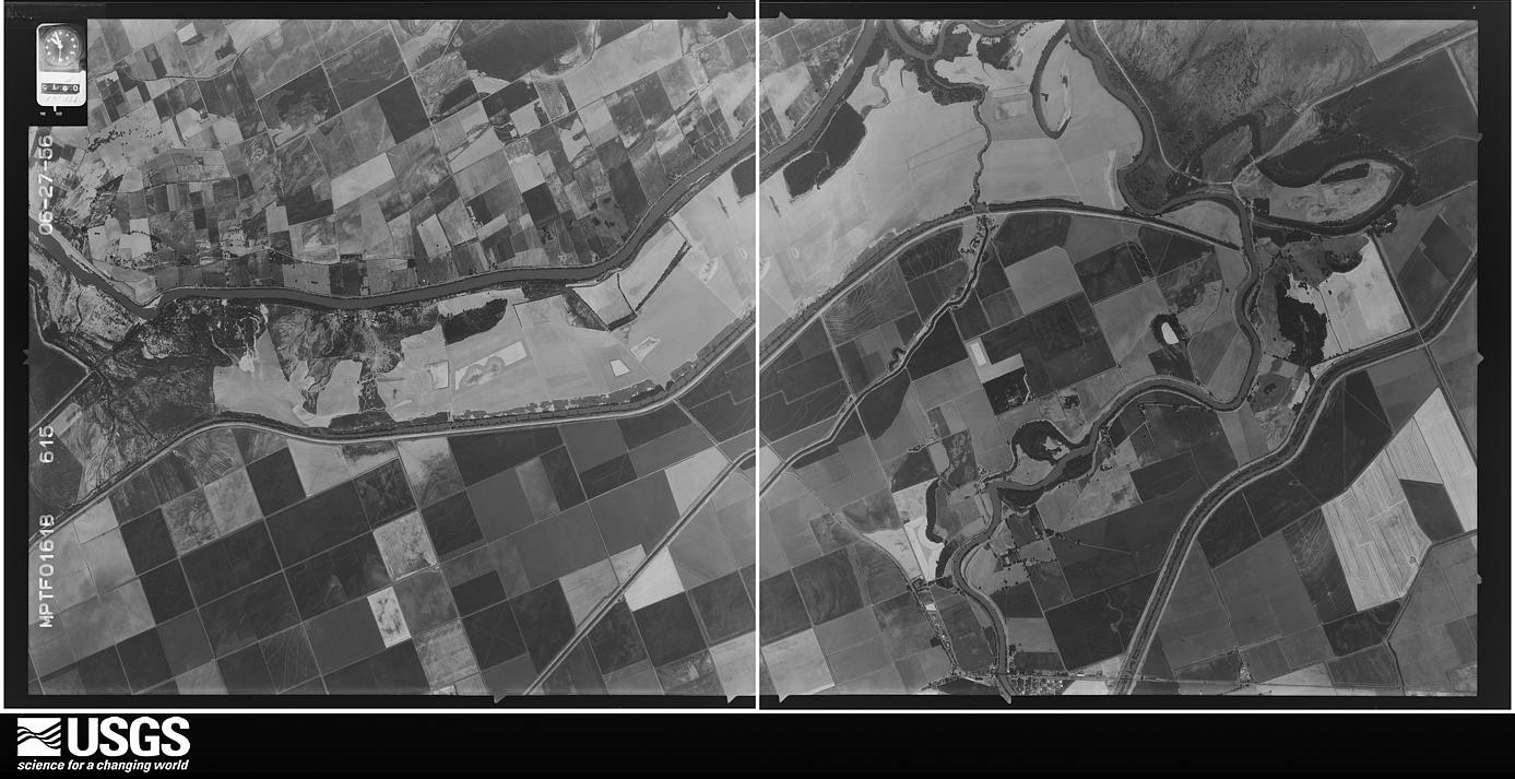
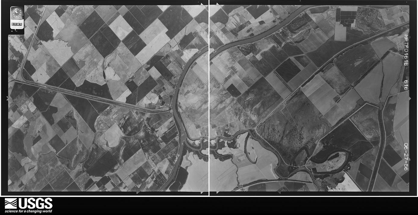
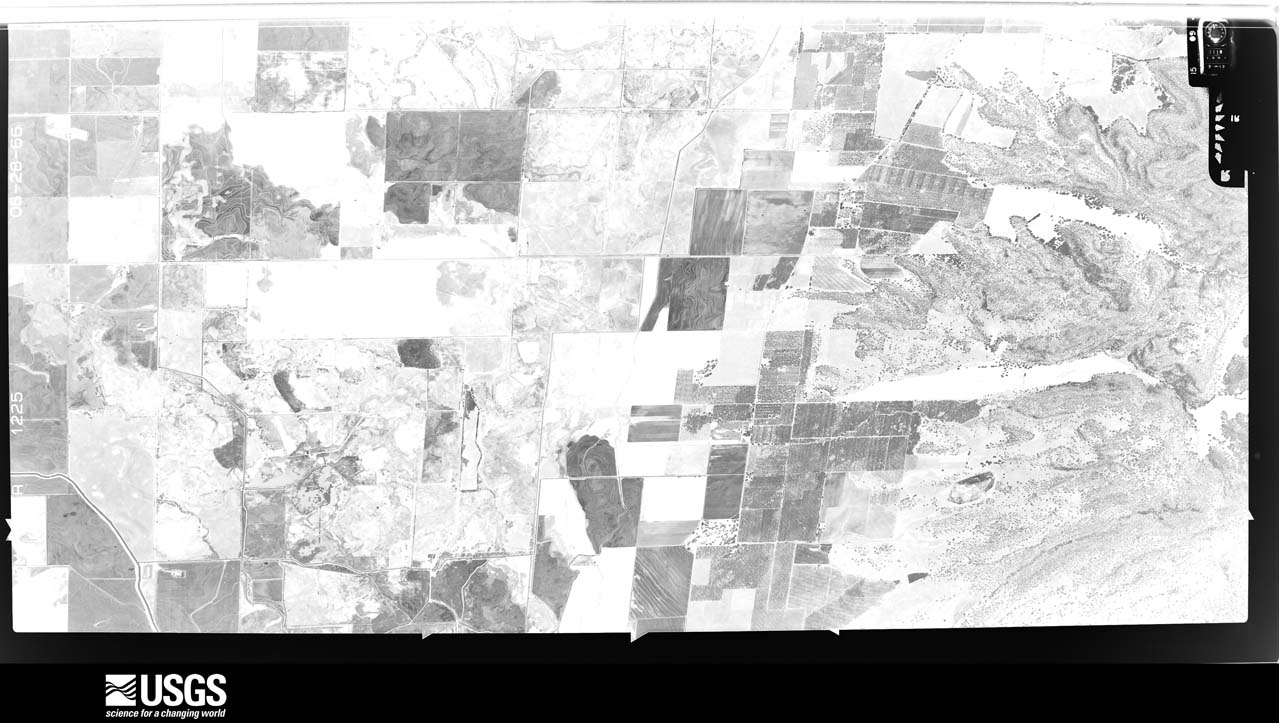
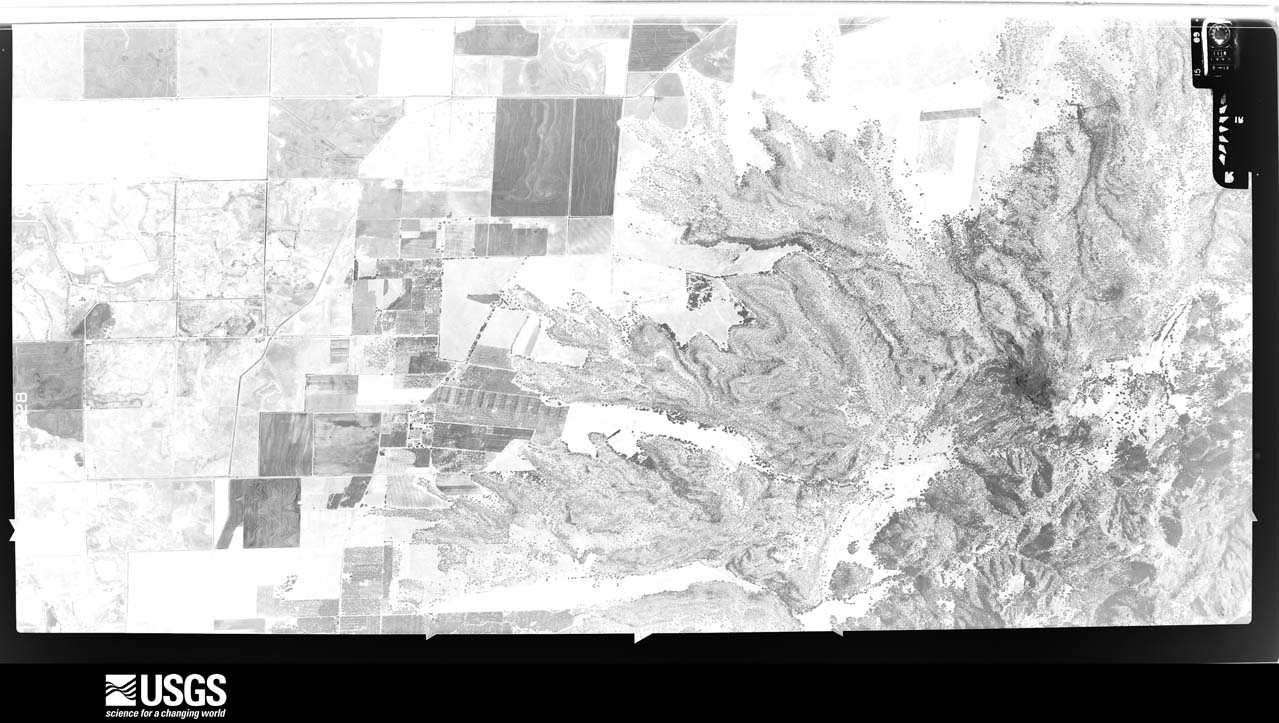
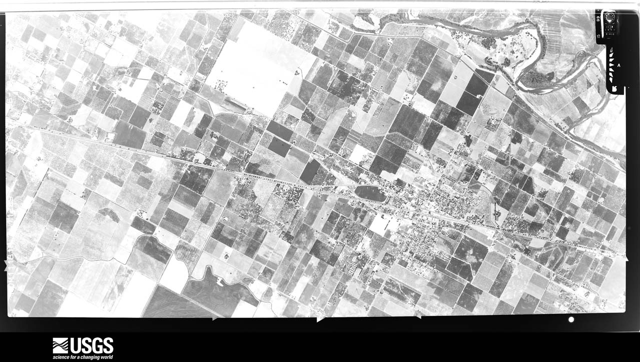
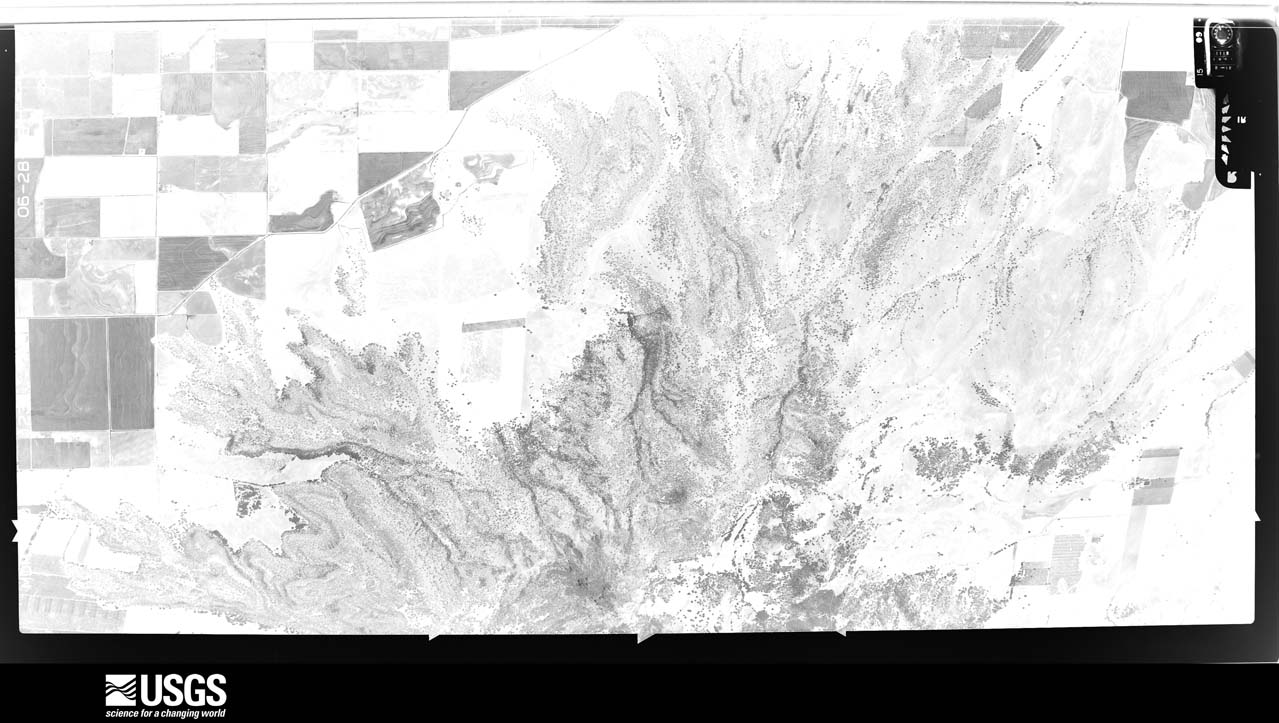
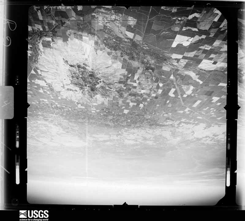
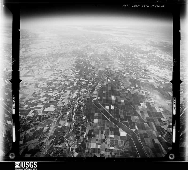
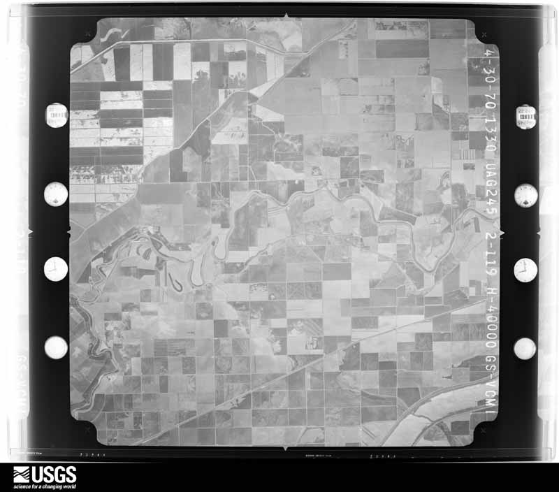
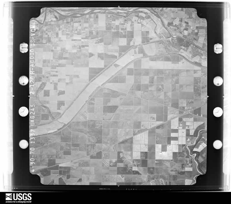
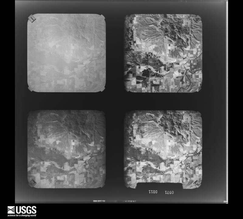
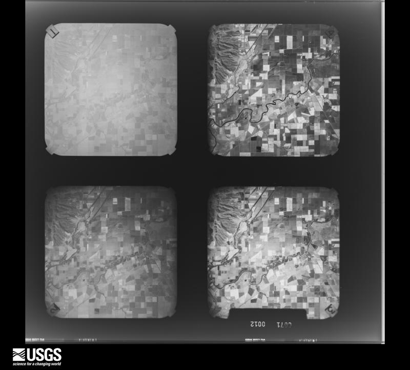
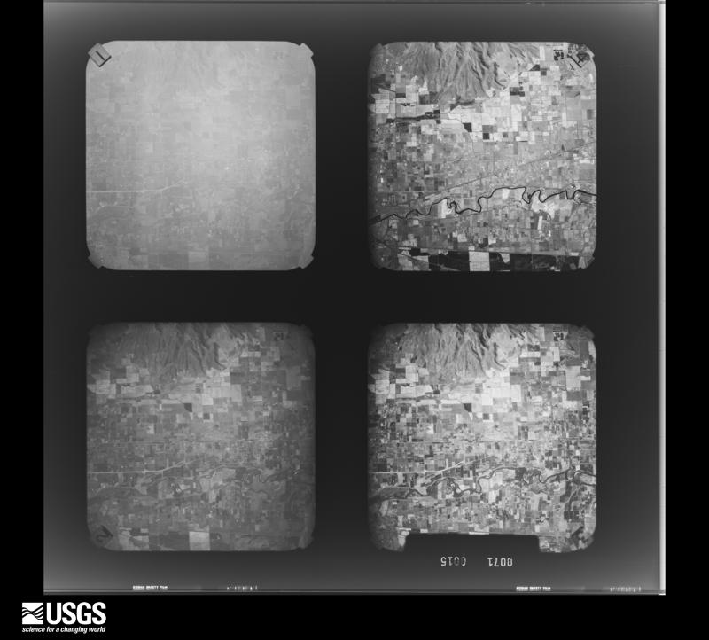
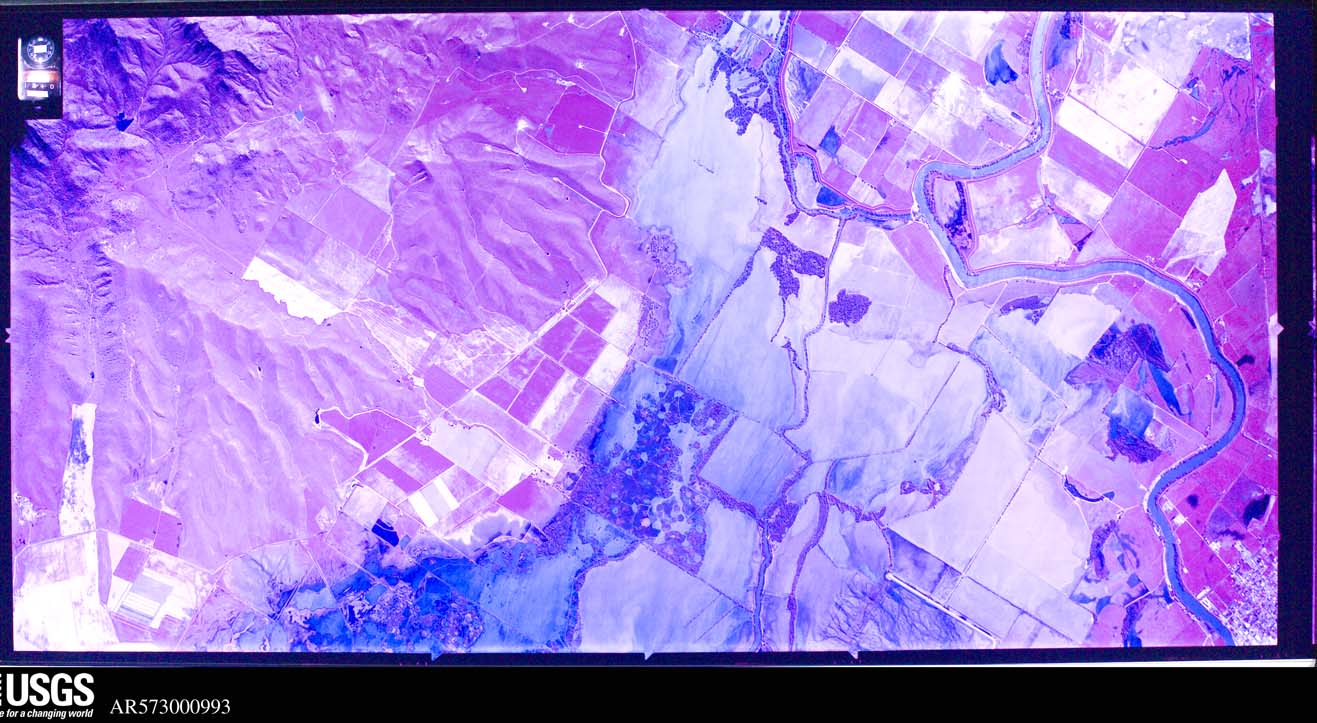
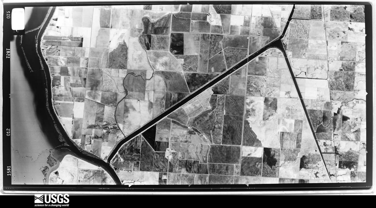
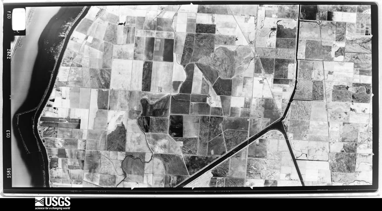
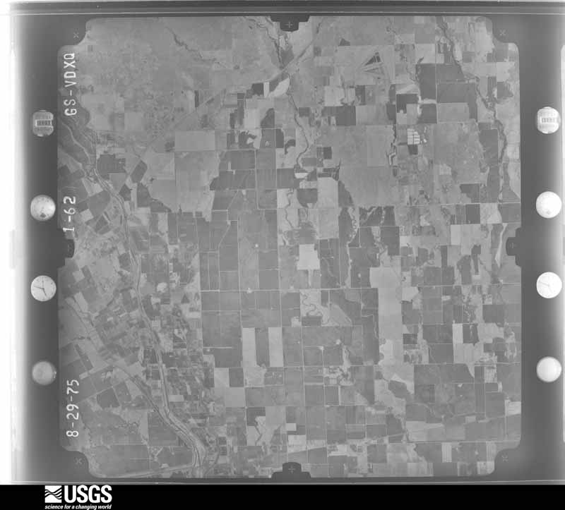
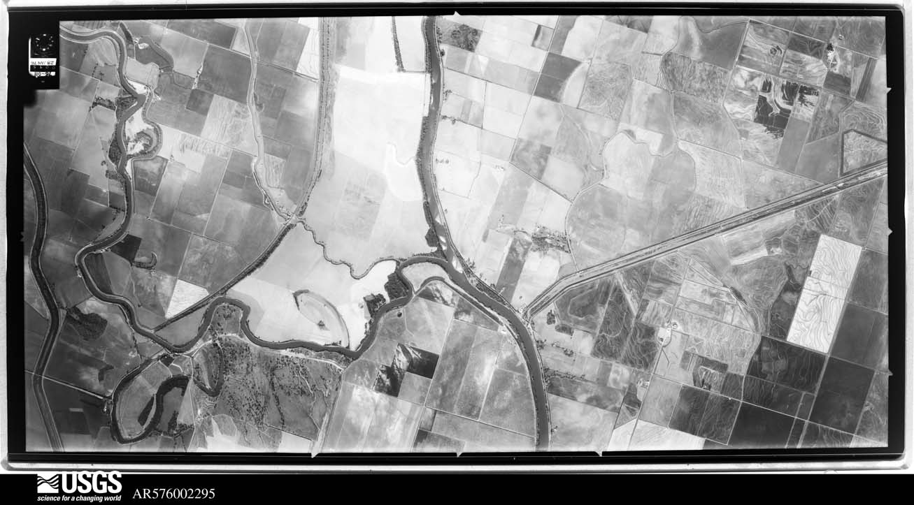
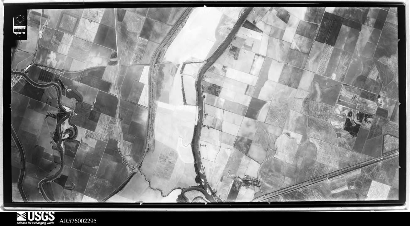
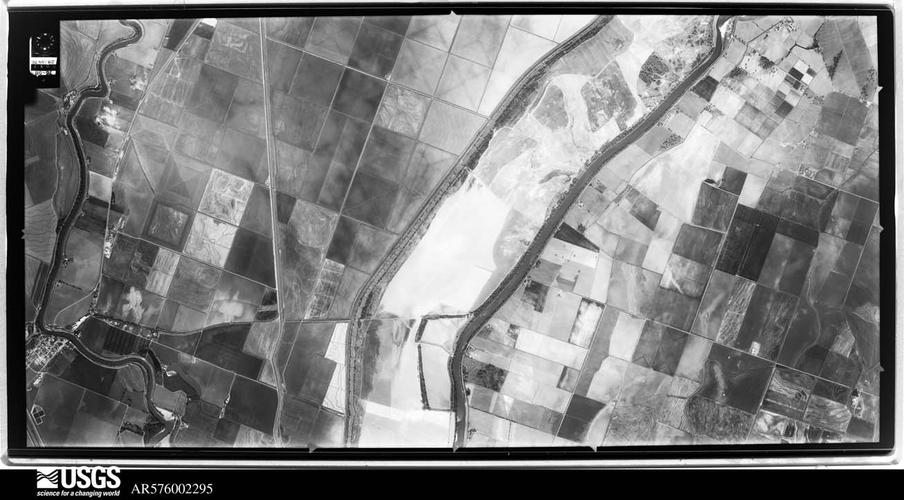
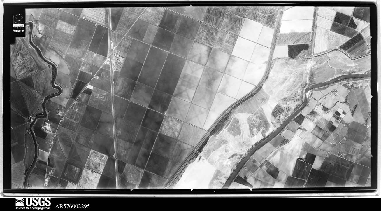
Flown by the U.S. Geological Survey between 1937 and 1989, the Aerial Photo Single Frames collection is the definitive mid-century view of the land: fields, roads and rivers as the camera saw them. The Survey holds 2,898 frames inside the rectangle that bounds this county; the 48 frames below were taken over the county itself, chosen across the decades of flights (at most four a year from that rectangle), so one flight cannot crowd out the rest. The full set is free to browse and download at EarthExplorer under the dataset Aerial Photo Single Frames.
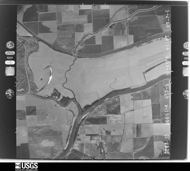
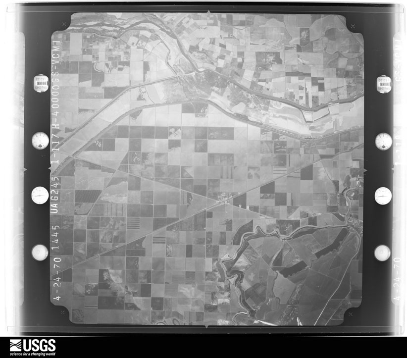
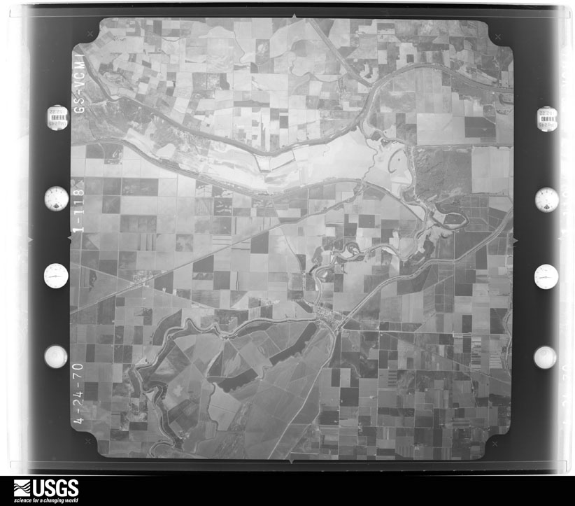
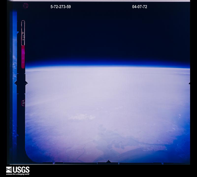



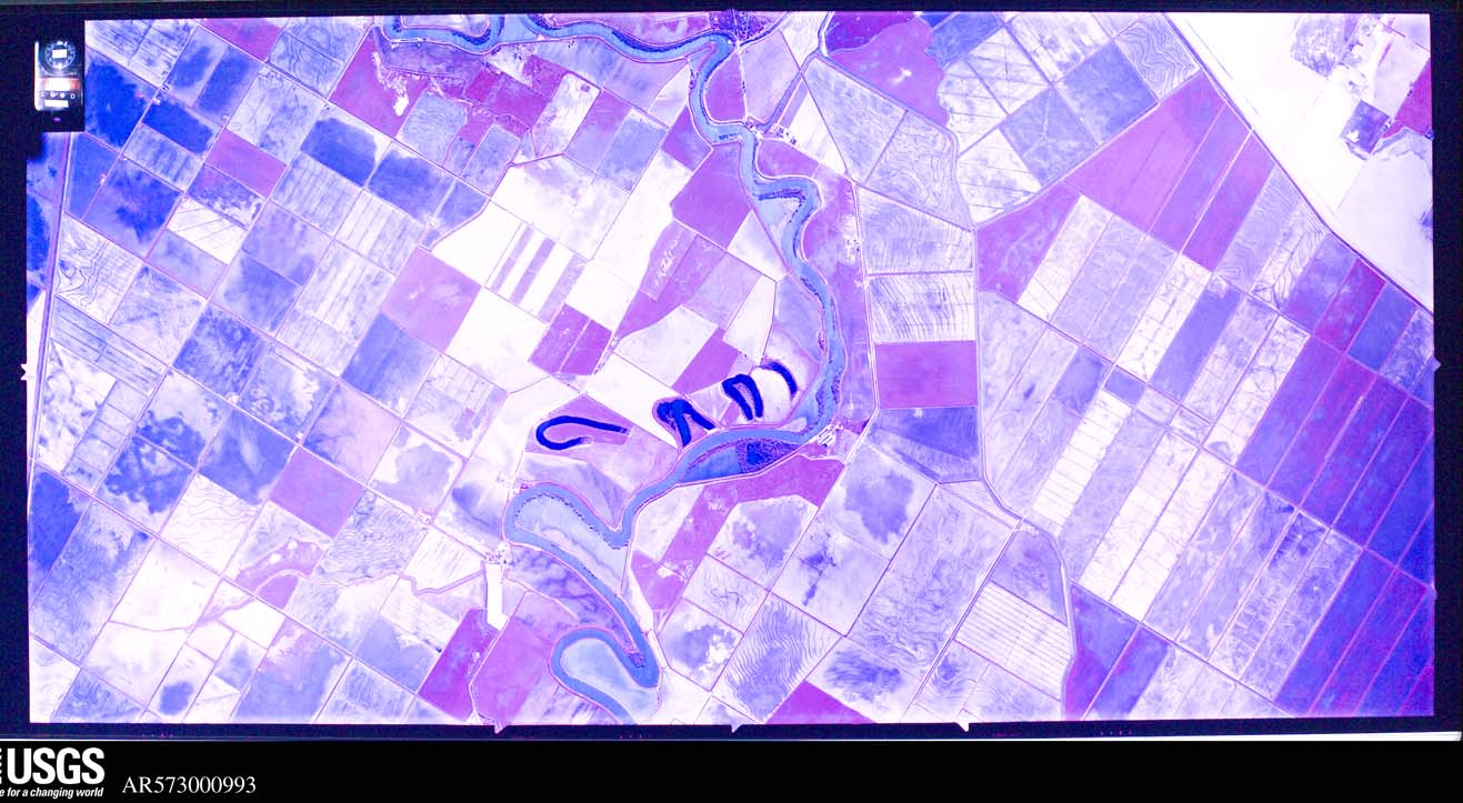
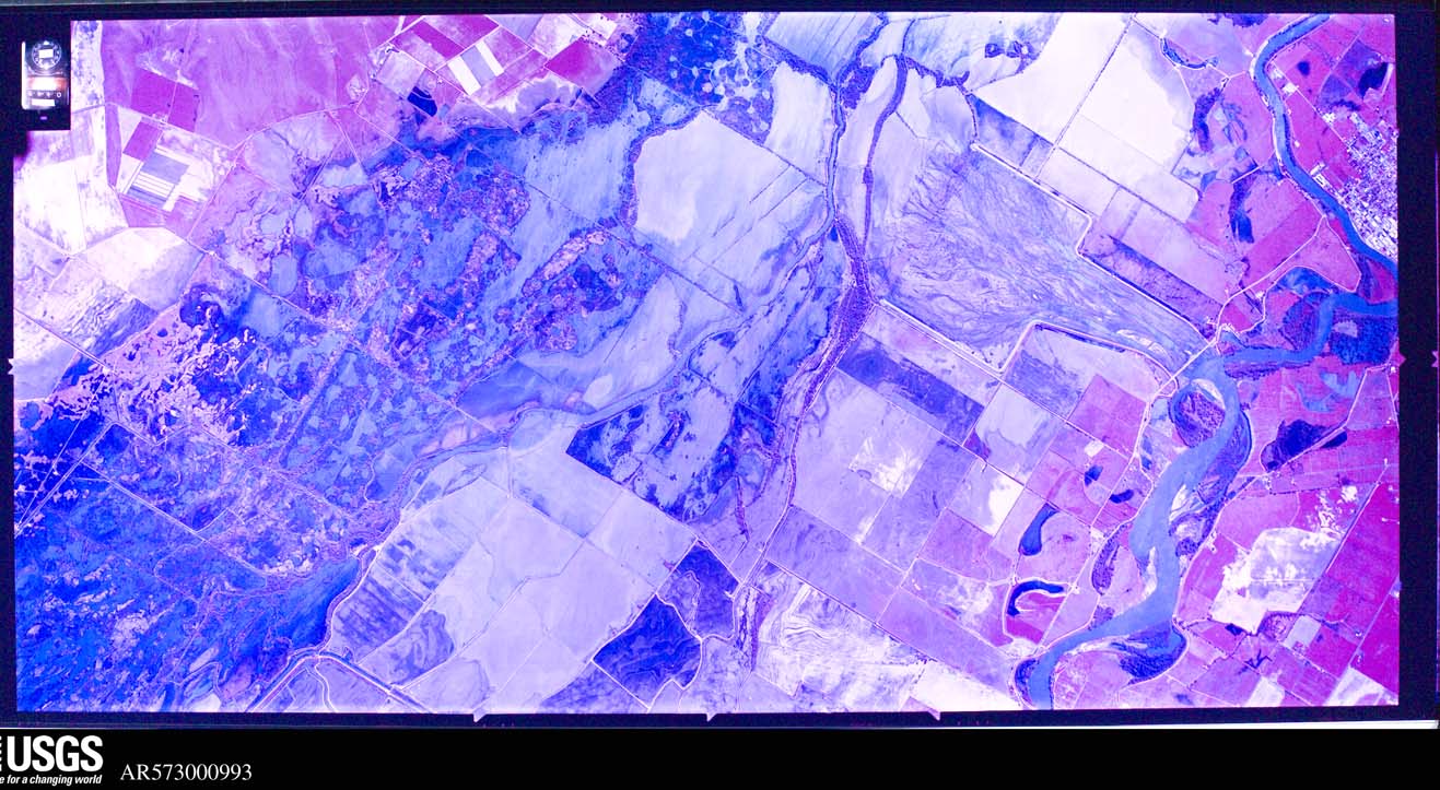
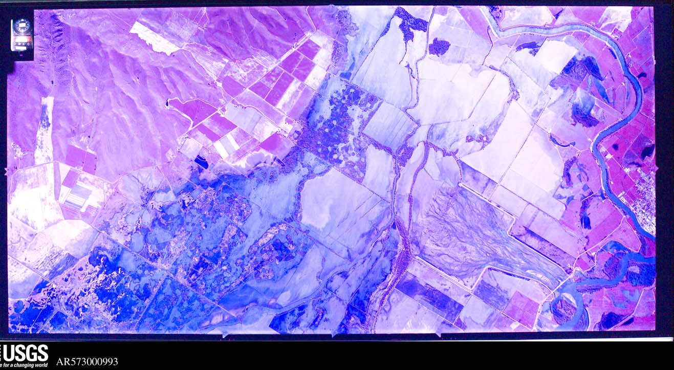
The thermometers that kept this county's weather, and the gages that measured the flow of its streams, as the federal records hold them.
Who lived here in 1950, one enumeration district at a time, as the Census Bureau described each district. Each row opens its official National Archives result, with Population Schedules and ED Maps available there.
Every wildfire the federal occurrence database records inside this county: 633 of them, burning about 2,573 acres. 1 started naturally and 15 were recorded as arson. Each settlement page carries the fires within five miles of it.
| Reported cause | Fires |
|---|---|
| Missing data/not specified/undetermined | 463 |
| Equipment and vehicle use | 54 |
| Debris and open burning | 43 |
| Misuse of fire by a minor | 29 |
| Smoking | 16 |
| Arson/incendiarism | 15 |
| Power generation/transmission/distribution | 6 |
| Recreation and ceremony | 6 |
| Natural | 1 |
The five largest, by the area the report gives. None of them was recorded as arson.
| Date | Cause | Size | Reported by | Name on the report |
|---|---|---|---|---|
| 31 July 2018 | Missing data/not specified/undetermined | 1,200 acres | Nevada-Yuba-Placer Unit | BUTTE FIRE |
| 14 May 2011 | Missing data/not specified/undetermined | 210 acres | Nevada-Yuba-Placer Unit | WEST BUTTE |
| 27 July 2011 | Equipment and vehicle use | 112 acres | Nevada-Yuba-Placer Unit | SOUTHRIDGE |
| 13 June 2016 | Equipment and vehicle use | 85 acres | California Department of Forestry & Fire Protection | not named |
| 6 June 2018 | Power generation/transmission/distribution | 77 acres | California Department of Forestry & Fire Protection | not named |
| 25 August 1992 | Equipment and vehicle use | 70 acres | Sutter National Wildlife Refuge | OTTER 1 |
| 30 June 1992 | Debris and open burning | 50 acres | Nevada-Yuba-Placer Unit | PHEASANT |
| 31 March 2009 | Missing data/not specified/undetermined | 50 acres | California Department of Forestry & Fire Protection | not named |
Every settlement page carries the fires within five miles of it - see the settlement index below.
The NOAA Storm Events Database holds 33 reports for this county, causing 1 death, no injuries and about $990,000 in recorded property damage. Each settlement page carries the reports that name it.
| Kind of event | Reports |
|---|---|
| Flood | 14 |
| Tornado | 6 |
| Heavy Rain | 4 |
| Funnel Cloud | 4 |
| Hail | 4 |
| Thunderstorm Wind | 1 |
The most serious of them, by death, then injury, then recorded damage. The accounts are quoted exactly as the forecast office filed them.
| When | Event | Place named | Harm | What the report says |
|---|---|---|---|---|
| November 2025 | Flood | Pleasant Grove | 1 killed | California Highway Patrol reported that a 71 year old man drowned after his car was swept into a creek crossing as a bridge flooded on Fifield Road in Pleasant Grove in Sutter County due to heavy rain. |
| January 2006 | Flood | Countywide | $900,000 | no account filed |
| May 2005 | Tornado (F0) | Yuba City | $85,000 | no account filed |
| February 2019 | Tornado (EF0) | Yuba City South | $5,000 | National Weather Service meteorologists confirmed an EF0 tornado touched down at approximately 5:50 pm pst on Saturday, February 2nd, just south of Yuba City, CA. This tornado touch down was very brief as it tracked to the north northwest. Radar data and the damage pattern were used to confirm the touchdown. Several trees were knocked down and there was minor roof damage to a home. Leaves and branches were completely stripped off one side of a tree. |
| February 2025 | Flood | Tarke | - | California Highway Patrol reported the closure of Franklin Road between Levee Road and Acacia Avenue across the Sutter Bypass due to heavy rain. |
| February 2025 | Flood | Meridian | - | Loveys Landing RV Park flooded within the levee by the Sacramento River due to heavy rain and river flooding. |
| December 2025 | Flood | Nicolaus | - | California Highway Patrol reported the canal flooded the bridge on Kirksville Road, making it impassable. One person drove their car into the high waters and became stranded, requiring a water rescue. |
| February 2024 | Flood | Tisdale | - | Sutter County OES reported the closure of Highway 99 to Highway 113 due to flooding from heavy rain. At least 5 other roads were closed within the county. |
| November 2024 | Flood | Four Corners | - | California Highway Patrol reported a vehicle accident due to standing water in the roadway at Pleasant Grove Road and Kempton Road. |
| November 2024 | Flood | Sutter | - | California Highway Patrol reported water running down the road and into standing water with all lanes affected at Franklin Road and Acacia Avenue due to heavy rain. |
| January 2023 | Flood | Encinal | - | California Highway Patrol reported multiple roads closed across Sutter County due to roadway flooding. |
| March 2023 | Flood | Pleasant Grove | - | Broadcast media reported roadway flooding between Fifield Road and Pleasant Grove Road. |
| March 2023 | Flood | Meridian | - | Broadcast media reported mandatory evacuation orders for the commercial trailer park called Loveys Landing due to flooding near the Sacramento River. |
| December 2021 | Flood | East Nicolaus | - | California highway patrol reported roadway flooding at the intersection of highway 70 E. Reported storm total rainfall amounts in the area were in excess of 3 inches. |
| December 2021 | Flood | Berg | - | Flooded lanes at Tierra Buena Rd. Reported storm total rainfall amounts in the area were in excess of 2.5 inches. |
| February 2019 | Thunderstorm Wind | Yuba City South | - | Wind caused tree and fence damage near Carlson Road and Hutchinson Road in Yuba City. |
| February 2019 | Flood | Tierra Buena | - | Roadway flooding reported by CHP at 1619 Poole Blvd, Yuba City. |
| January 2017 | Hail | Yuba City South | - | Accumulating hail covered the ground, with hailstones up to an inch in diameter. |
| February 2017 | Funnel Cloud | Nicolaus | - | A funnel cloud was sited near Nicolaus. No touch down was observed, or damage reported. |
| May 2016 | Hail | Yuba City | - | There was abundant hail, up to 1 inch in diameter by a member of the public. |
| May 2016 | Hail | Yuba City | - | There was large amounts of hail, as large as 1 inch hail reported by the public. |
| May 2016 | Hail | Yuba City | - | There was hail as large as 1.25 inches reported by the public. |
| March 2014 | Tornado (EF0) | Pleasant Grove | - | An EF0 tornado touched down in a field just south of Nicolaus at approximately 5:17pm and lasted a duration of a couple minutes. No damage was reported from the tornado besides swirl marks on the ground. |
| October 2012 | Tornado (EF1) | Yuba City South | - | The Yuba City Tornado: Supercells developed behind the cold front along a north-south boundary in the middle of the Central Valley, where both instability and shear were large. The Sutter County Sheriff and Fire Department reported a tornado at approximately 2pm (PST), which was the first reported tornado of the day. The NWS storm survey team determined a touchdown at Mallard Lake Golf Center along Highway 99 just south of Yuba City. The tornado traveled northeast toward Oswald and Barry Roads and north along Railroad Ave. Estimated wind speeds were up to 100mph. The tornado snapped several trees at the golf course, damaged 30-40 small walnut and peach trees in a nearby orchard, lifted shingles on multiple homes, damaged a car port, blew down several fences, damaged several businesses, and lifted an outbuilding off its foundation and turned it upside down. |
| June 2011 | Tornado (EF0) | Berg | - | At approximately 5:30 pm an EF0 tornado touched down north of Yuba City and moved northeast, crossing from Sutter County into Yuba County and thereby north of Marysville. There was little damage in the area that appeared to be caused by the tornado. The determining factor was the credible description and sequence of events by witnesses who saw the tornado develop and move through peach and walnut groves. There were no injuries nor fatalities. |
| March 2009 | Heavy Rain | Nicolaus | - | Minor flooding of rural county roads. |
| December 2005 | Heavy Rain | Countywide | - | no account filed |
| May 2005 | Funnel Cloud | Yuba City | - | no account filed |
| March 2005 | Tornado (F0) | Yuba City | - | no account filed |
| May 2005 | Funnel Cloud | Yuba City | - | no account filed |
| April 2005 | Funnel Cloud | Yuba City | - | no account filed |
| January 1998 | Heavy Rain | Countywide | - | no account filed |
| January 1998 | Heavy Rain | Countywide | - | no account filed |
The Survey's mineral resources record lists 9 workings inside this county. 7 still produce and 2 are closed or unrecorded. Each settlement page carries the workings within five miles of it.
| Commodity | Workings |
|---|---|
| Sand and Gravel, Construction | 5 |
| Stone, Crushed/Broken | 2 |
| Stone | 1 |
| Gold | 1 |
The least common of them first, because a county's hundredth gravel pit says nothing its first ten did not.
| Where | Site | Commodity | Status | Recorded |
|---|---|---|---|---|
| John Nugent Placer | Gold | Unknown | ||
| Quarry | Stone | Unknown | ||
| Butte Rock North Pit | Stone, Crushed/Broken | Producer | ||
| Myers Quarry | Stone, Crushed/Broken | Producer | ||
| Butte Ranch Borrow Site | Sand and Gravel, Construction | Producer | ||
| Meyer Pit | Sand and Gravel, Construction | Producer | ||
| Morehead Pit & Mill | Sand and Gravel, Construction | Producer | ||
| Pennington Quarry | Sand and Gravel, Construction | Producer | ||
| Sutter Buttes Quarry | Sand and Gravel, Construction | Producer |
Named settlements recorded in the Geographic Names Information System, each with the topographic sheets covering it. Villages, hamlets and abandoned places alike. Each is shown with the nearest named watercourse or landform and the survey quadrangle it falls on.
Yuba City Southwest census division · 95991 · Gilsizer Slough quadrangle
22 sheets, 1888 to 1993
Live Oak census division · 95953 · Gridley quadrangle
22 sheets, 1888 to 1993
No longer a settlement
Sutter census division · 95982 · Sutter quadrangle
23 sheets, 1888 to 1993
No longer a settlement
South Sutter census division · 95668 · On King Slough · Verona quadrangle
20 sheets, 1910 to 1994
Yuba City Southwest census division · 95991 · Nicolaus quadrangle
20 sheets, 1910 to 1994
No longer a settlement
South Sutter census division · 95674 · Nicolaus quadrangle
20 sheets, 1910 to 1994
No longer a settlement
Meridian-Robbins census division · 95645 · Knights Landing quadrangle
20 sheets, 1910 to 1994
Sutter census division · 95953 · Near Huff Canyon · Sutter Buttes quadrangle
25 sheets, 1888 to 1993
Live Oak census division · 95953 · On Live Oak Slough · Sutter quadrangle
23 sheets, 1888 to 1993
South Sutter census division · 95659 · On Feather River · Verona quadrangle
20 sheets, 1910 to 1994
Meridian-Robbins census division · 95957 · Tisdale Weir quadrangle
22 sheets, 1888 to 1993
Meridian-Robbins census division · 95645 · Knights Landing quadrangle
20 sheets, 1910 to 1994
Meridian-Robbins census division · 95645 · Near Cole Point (historical) · Kirkville quadrangle
21 sheets, 1907 to 1994
Live Oak census division · 95953 · On Live Oak Slough · Sutter quadrangle
23 sheets, 1888 to 1993
Yuba City Southwest census division · 95991 · Sutter Causeway quadrangle
20 sheets, 1910 to 1994
No longer a settlement
Live Oak census division · 95953 · Sutter quadrangle
23 sheets, 1888 to 1993
No longer a settlement
South Sutter census division · 95659 · On Ping Slough · Nicolaus quadrangle
20 sheets, 1910 to 1994
Yuba City census division · 95993 · Sutter quadrangle
23 sheets, 1888 to 1993
No longer a settlement
South Sutter census division · 95668 · Pleasant Grove quadrangle
27 sheets, 1891 to 1994
Meridian-Robbins census division · 95957 · Kirkville quadrangle
21 sheets, 1907 to 1994
Live Oak census division · 95953 · Gridley quadrangle
22 sheets, 1888 to 1993
No longer a settlement
Meridian-Robbins census division · 95645 · Knights Landing quadrangle
20 sheets, 1910 to 1994
Live Oak census division · 95953 · On Live Oak Slough · Sutter quadrangle
23 sheets, 1888 to 1993
South Sutter census division · 95626 · On Pleasant Grove Creek · Pleasant Grove quadrangle
27 sheets, 1891 to 1994
Yuba City census division · 95993 · Gilsizer Slough quadrangle
22 sheets, 1888 to 1993
Live Oak census division · 95953 · On Live Oak Slough · Sutter quadrangle
23 sheets, 1888 to 1993
No longer a settlement
South Sutter census division · 95659 · Near Auburn Ravine · Verona quadrangle
20 sheets, 1910 to 1994
No longer a settlement
Meridian-Robbins census division · 95957 · Sutter Causeway quadrangle
20 sheets, 1910 to 1994
Live Oak census division · 95953 · On Live Oak Slough · Sutter quadrangle
23 sheets, 1888 to 1993
South Sutter census division · 95659 · On Feather River · Verona quadrangle
20 sheets, 1910 to 1994
Yuba City census division · 95991 · Near Willow Island · Yuba City quadrangle
25 sheets, 1888 to 1993
Yuba City census division · 95991 · Near Willow Island · Yuba City quadrangle
25 sheets, 1888 to 1993
No longer a settlement
The vanished settlements of Sutter County: the places named above that are no longer on the map.