 Block
BlockMono Lake, California
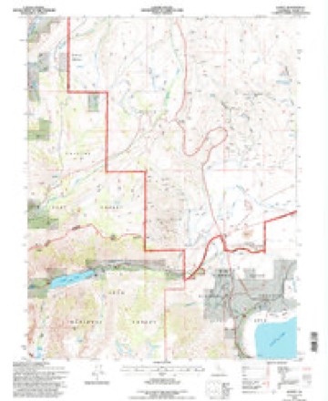
24 topographic sheets cover this place, the earliest surveyed in 1909 and the latest in 1994. It stands in the Mammoth Lakes census division. It lies in ZIP code area 93541. It stands on Dechambeau Creek. The Survey maps it on the Lundy quadrangle.
Then and now
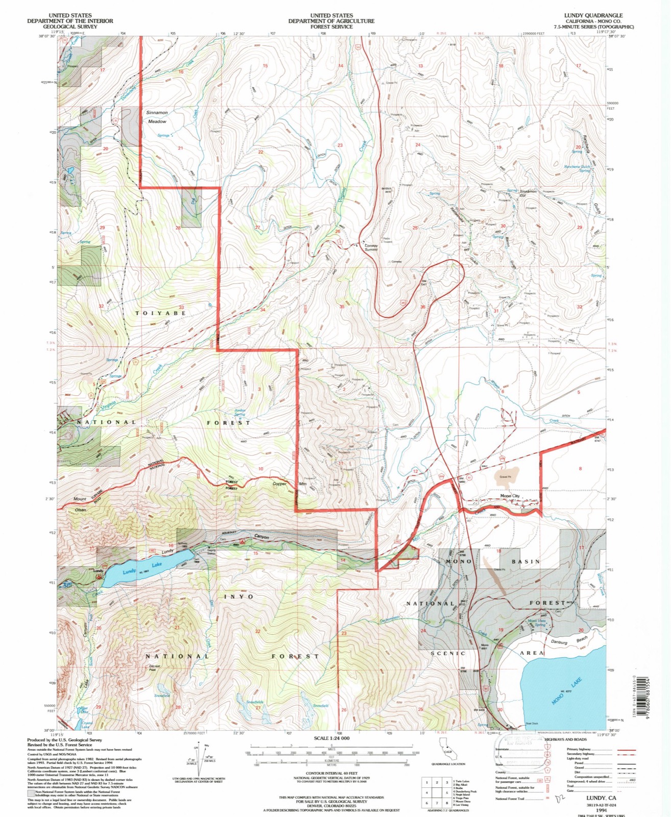
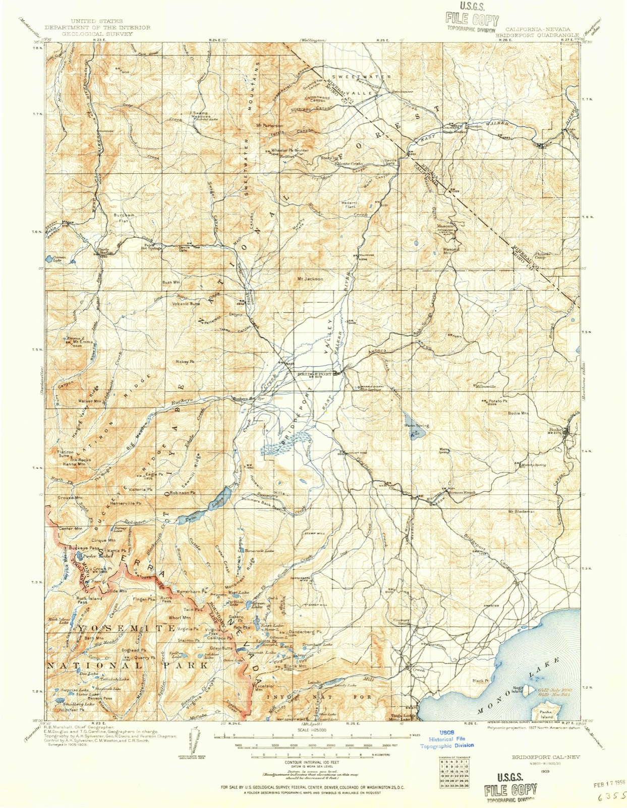
1909 to 1994The same ground, surveyed 85 years apart. Drag the handle to wipe between them. Both sheets are United States Geological Survey originals; neither has been altered.
Compare 1909 against another survey:
Topographic sheets covering this place
11 surveys from 24 printed sheetsMatched by testing this settlement's coordinate against the published boundary of every sheet in the United States Geological Survey's historical collection. Each opens the scanned sheet at the Survey.
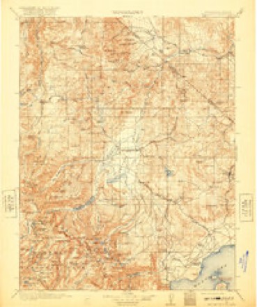
- 1909 USGS Bridgeport quadrangle1:125000
- 1911 USGS Bridgeport quadrangle1:125000, 7 printings
- 1920 USGS Bridgeport quadrangle1:125000
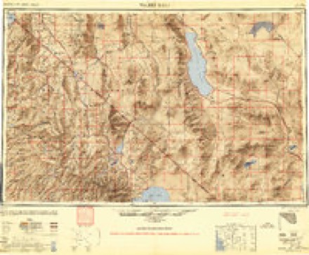
- 1948 USGS Walker Lake quadrangle1:250000, 2 printings
- 1957 USGS Walker Lake quadrangle1:250000, 4 printings
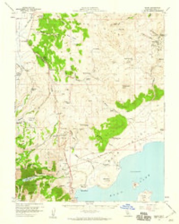
- 1958 USGS Bodie quadrangle1:62500, 3 printings
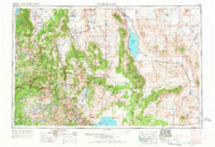
- 1962 USGS Walker Lake quadrangle1:250000
- 1964 USGS Walker Lake quadrangle1:250000, 2 printings
- 1985 USGS Bridgeport quadrangle1:100000
- 1986 USGS Lundy quadrangle1:24000
- 1994 USGS Lundy quadrangle1:24000
Fires near this place
64 since 1992Regional context, not property-specific evidence. The federal wildfire occurrence database lists 64 fires within 5 miles of Mono Lake between 1992 and 2020, burning about 842 acres in total. 35 started naturally. 1 was recorded as arson. Distance is straight-line from the map coordinates, so a fire counted here may appear on a neighbouring settlement's page as well.
| Reported cause | Fires |
|---|---|
| Natural | 35 |
| Missing data/not specified/undetermined | 10 |
| Power generation/transmission/distribution | 7 |
| Recreation and ceremony | 4 |
| Debris and open burning | 3 |
| Equipment and vehicle use | 2 |
| Smoking | 1 |
| Misuse of fire by a minor | 1 |
| Arson/incendiarism | 1 |
The most recent of them, most recent first, with the day each was reported and the service that recorded it.
| Date | Cause | Size | Reported by | Name on the report |
|---|---|---|---|---|
| 24 September 1994 | Natural | under an acre | Central California District | GARLIC II |
| 19 September 1992 | Debris and open burning | under an acre | Inyo National Forest | not named |
| 12 September 2014 | Equipment and vehicle use | 47 acres | Central California District | CONWAY |
| 6 August 1997 | Natural | 5.0 acres | Inyo National Forest | POINT |
| 4 August 2000 | Natural | under an acre | Inyo National Forest | LUNDY |
| 31 August 2018 | Missing data/not specified/undetermined | under an acre | Central California District | BYWAY |
| 30 August 1992 | Natural | under an acre | Inyo National Forest | not named |
| 3 August 2016 | Arson/incendiarism | 16 acres | Inyo National Forest | WILSON |
Settlements close enough to share some of these fires:
Mines and quarries near this place
10 of 30 shownRegional context, not property-specific evidence. The federal mineral resources record lists 30 workings within 5 miles of Mono Lake: 11 prospects, 10 past producers, 8 occurrences, 1 producer. 1 still produces. What was taken out: Gold, Copper, Zinc, Silver. Distance is straight-line from the map coordinates, so a quarry counted here may appear on a neighbouring settlement's page as well.
| Where | Site | Commodity | Status | Recorded |
|---|---|---|---|---|
| Black Point Cinder Mine | Pumice | Past Producer | ||
| Cinder Pit | Stone | Occurrence | ||
| Goleta Consolidated | Gold, Silver, Copper, Zinc | Past Producer | Gold, Malachite, Pyrite | |
| Goleta Mine | Gold, Silver, Copper, Lead | Prospect | ||
| Lake View Copper | Copper, Silver, Gold, Lead, Zinc | Prospect | ||
| Log Cabin and Sunrise Group | Gold, Silver, Lead | Past Producer | Galena, Gold, Hematite | |
| Montecito Mine | Gold, Silver, Lead | Occurrence | ||
| Old Glory Prospect | Lead, Zinc | Prospect | ||
| Unknown | Gemstone | Occurrence | Wollastonite | |
| Unnamed Hot Spring Near Black Pt. | Geothermal | Producer |
Storms near this place
12 since 2014Regional context, not property-specific evidence. The National Weather Service names Mono Lake in 12 storm reports between 2014 and 2024: 7 debris flow, 5 heavy rain. No death or injury is recorded in these reports. Each account below is quoted exactly as the forecast office filed it, from the NOAA Storm Events Database, and each date opens the federal record of that event.
| When | Event | Place named | Harm | What the report says |
|---|---|---|---|---|
| July 2024 | Debris Flow | Mono Lake | - | Law enforcement reported minor flooding/debris flow 1.0 mi S of Conway Summit, CA, with rocks and a large boulder in the northbound lane of US-395. |
| July 2024 | Heavy Rain | Mono Lake | - | A mesonet stations UNDC1(LUNDY) located 4.0 mi S of Conway Summit, CA, and CBVA (DRI) located 3.1 mi SW of Bridgeport, CA, reported a total rainfall amount of 1.72 inches and 0.75 inches respectively. |
| October 2021 | Debris Flow | Mono Lake | - | California Highway Patrol reported the left lane on us 395 at Conway Ranch Road is closed due to a large rock in the roadway. |
| October 2021 | Heavy Rain | Mono Lake | - | COOP and CoCoRahs observers, as well as Mesonet/ASOS sites, reported rainfall amounts ranging from 1.0-3.0 around Walker, CA, to the Lee Vining/Mono Lake area with 4.0-6.0 around the Crestview to Mammouth Lakes, CA region. |
| December 2021 | Heavy Rain | Mono Lake | - | CO-OP Observer, COCORAHS station (CA-MN-6), and mesonet sites reported heavy rain ranging from 0.55-0.65 in Lee Vining and up to 2.00 at mesonet site (CRVC 1) 1.0 mi SSW of Crestview, CA. |
| December 2019 | Heavy Rain | Mono Lake | - | HADS station ERYC1 at Ellery Lake reported 1.70 inches of rainfall in a 48-hour period from 1 December 0000PST to 2 December 2359PST. Station elevation of 9504 ft MSL. |
| July 2018 | Debris Flow | Mono Lake | - | California Department of Transportation (Caltrans) reported a debris flow just east of Tioga Pass on State Route 120 in Mono County, closing a three mile stretch of the road from US Highway 395 to the debris flow site. According to The Mercury News, a car was hit by a rock at 1600PST. Within 20 minutes, an active debris flow was declared. The road remained closed until 21 July 1930PST. No nearby gauges were available to estimate the rainfall amounts near the debris flow path. No damage/cleanup estimates were available. |
| July 2018 | Debris Flow | Mono Lake | - | California Highway Patrol indicated a two-lane road closure of Lundy Lake Road, about 5 miles northwest of Mono Lake, due to a rock slide/debris flow across the roadway. The Lundy Raws sensor recorded 0.75 inches of rain in a 3 hour time period before the slide occurred. No damage estimates were available. |
| May 2018 | Heavy Rain | Mono Lake | - | Mesonet station VGAC1, 3 miles west-southwest of Conway Summit reported 0.60 inches of rainfall from 20 May 2200PST to 21 May 1400PST. |
| October 2016 | Debris Flow | Mono Lake | - | A combination of steep terrain (cliff face) and significant rain caused a large rockfall onto Tioga Pass Road (CA 120), causing the shutdown of the road. The time of the rockfall is estimated and based around the time of the heavy rainfall. |
| July 2015 | Debris Flow | Mono Lake | - | A rock and mud slide was reported on highway 120 by the California Highway Patrol. |
| July 2014 | Debris Flow | Mono Lake | - | The California Highway Patrol (CHP) reported water covering Lundy Lake Road, with the Mono County Sheriff noting a large and deep mudslide over the road. CHP indicated that emergency crews were unable to reach an emergency call due to the road blockage. |
Nearest settlements
The eight closest, with where each one stands in the county. Distances are straight-line, computed from the Geographic Names Information System coordinates.
| Map | Place | Distance | Sheets |
|---|---|---|---|
| Mono City | 2.2 miles | 24 | |
| Lee Vining | 3.9 miles | 31 | |
| Lundy | 4.8 miles | 24 | |
| Virginia Lakes | 6.0 miles | 25 | |
| Bennettville (historical) | 7.5 miles | 32 | |
| Dunderberg Mill | 8.3 miles | 25 | |
| Dog Town (historical) | 11.4 miles | 24 | |
| Willow Springs | 12.7 miles | 24 |
Provenance
This settlement is recorded in the Geographic Names Information System as feature 2790799. The sheet list is computed by point-in-boundary test against the United States Geological Survey's historical topographic inventory. Both are works of the United States government and carry no copyright under 17 U.S.C. 105.
Wildfire. Short, Karen C. 2022. Spatial wildfire occurrence data for the United States, 1992-2020 [FPA_FOD_20221014]. 6th Edition. Fort Collins, CO: Forest Service Research Data Archive. https://doi.org/10.2737/RDS-2013-0009.6 Collected with United States Government funding and usable without additional permissions or fees.
Mines and quarries. USGS Mineral Resources Data System (MRDS) https://mrdata.usgs.gov/mrds/ A work of the United States government, no copyright under 17 U.S.C. 105.
Storms. NOAA National Centers for Environmental Information, Storm Events Database https://www.ncei.noaa.gov/stormevents/ A work of the United States government, no copyright under 17 U.S.C. 105. Narratives are quoted verbatim from the National Weather Service report and are not edited or summarised.