 Block
BlockNiland, California
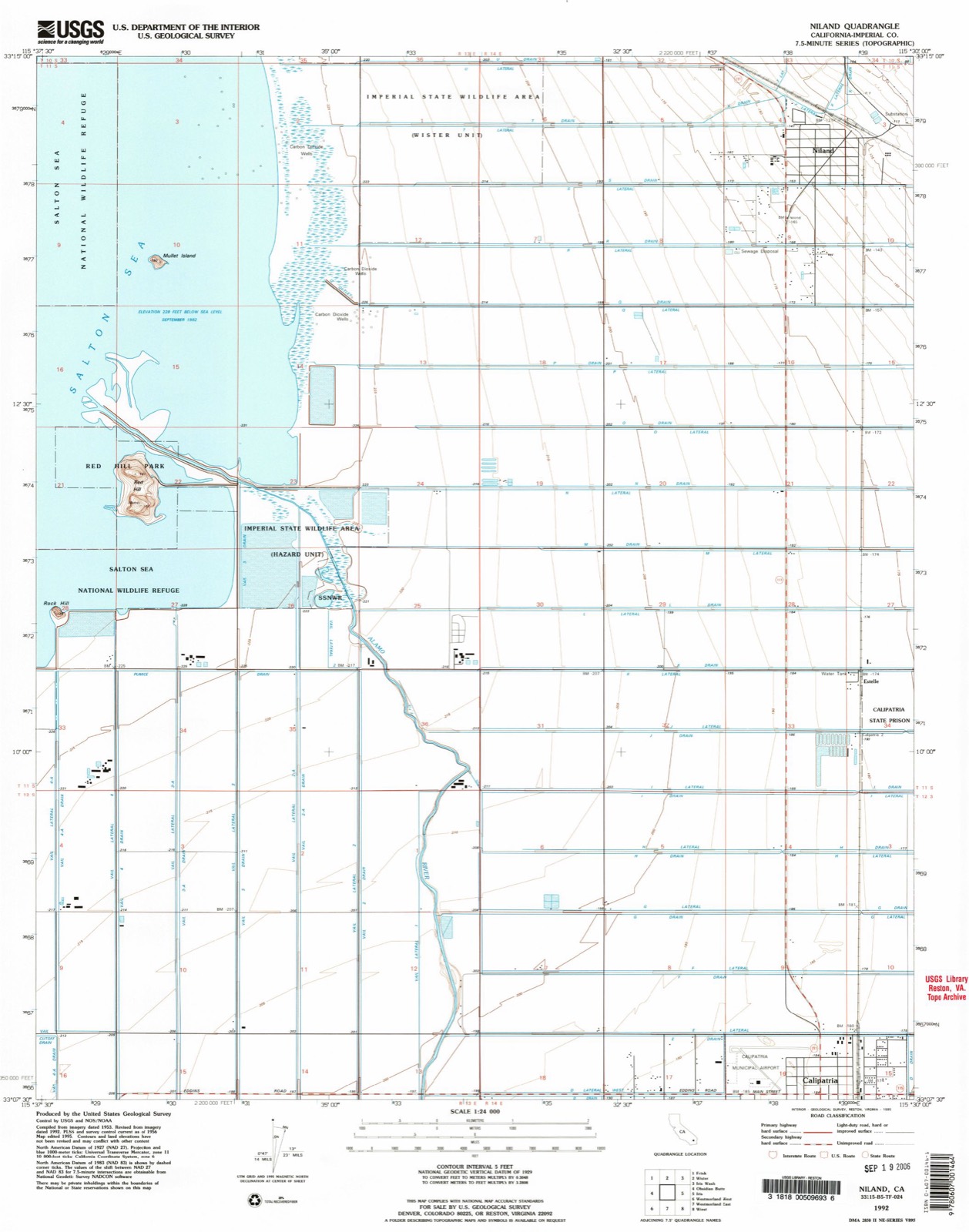
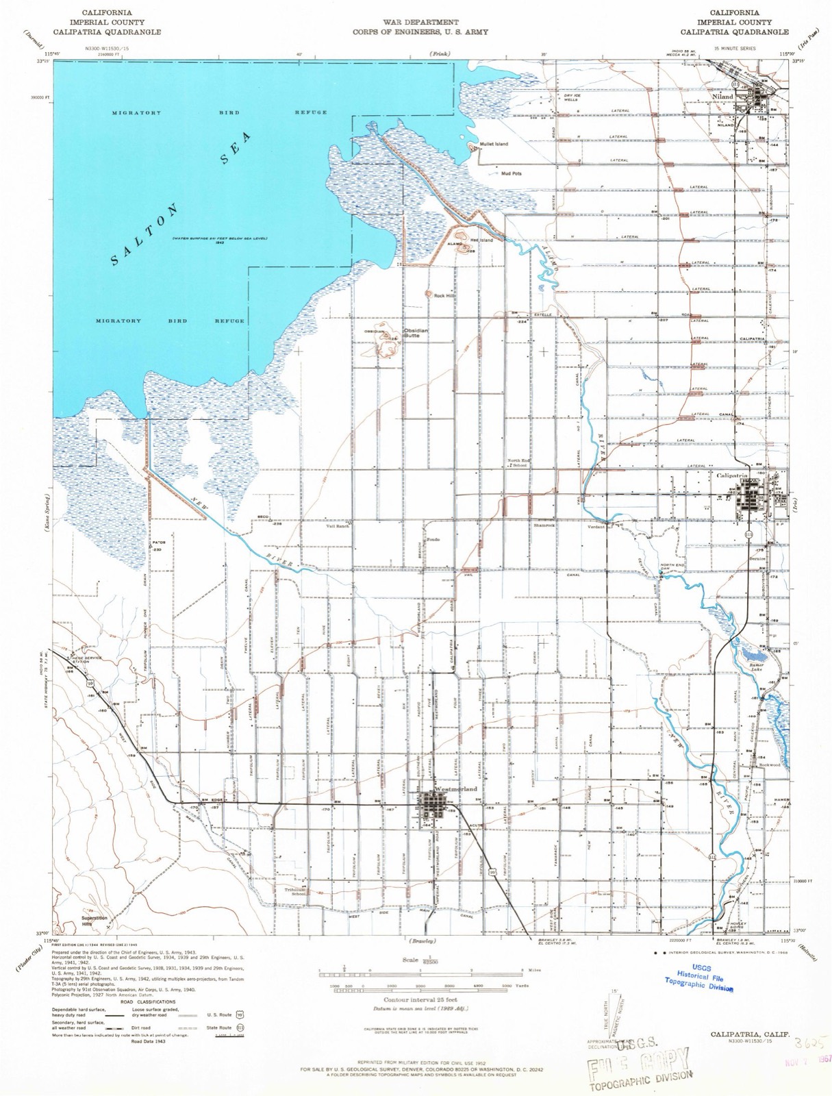
22 topographic sheets cover this place, the earliest surveyed in 1944 and the latest in 1992. It stands in the Calipatria-Westmorland census division. It lies in ZIP code area 92257. The Survey maps it on the Niland quadrangle. 756 people lived here at the 2020 count. It lies 141 feet below sea level.
Then and now
1944 to 1992The same ground, surveyed 48 years apart. Drag the handle to wipe between them. Both sheets are United States Geological Survey originals; neither has been altered.
Population over time
2 figuresNiland fell from 1,006 to 756 between 2010 and 2020. These are the recorded population figures Wikidata holds for this place, reached through the Geographic Names Information System number this page is keyed on rather than by name, so they belong to this place and not to another of the same name. Most are census counts, but not all are: an early figure may be a founding or settlement estimate, and an estimate published within five years of a census is left out. The change column is computed, and is left blank where more than 20 years separate a figure from the one before it, because a gap that long is not a change between two counts.
| Year | People | Change |
|---|---|---|
| 2010 | 1,006 | |
| 2020 | 756 | -250 (-25%) |
Topographic sheets covering this place
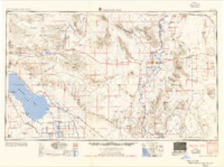
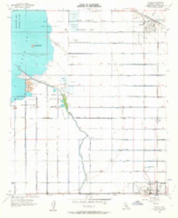
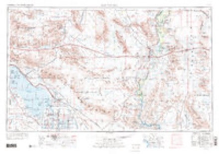
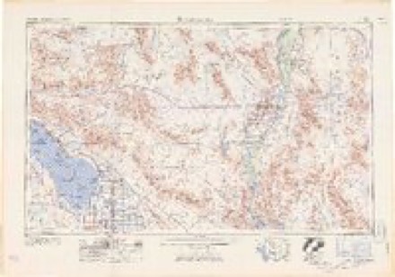
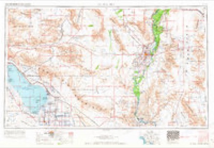
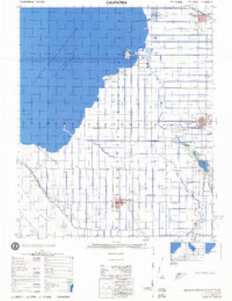
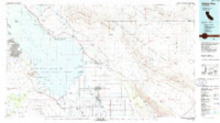
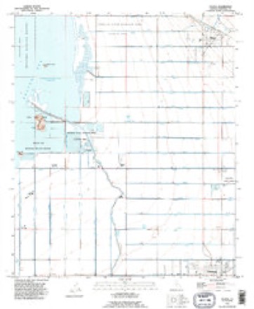
10 surveys from 22 printed sheetsMatched by testing this settlement's coordinate against the published boundary of every sheet in the United States Geological Survey's historical collection. Each opens the scanned sheet at the Survey.
- 1944 USGS Calipatria quadrangle1:62500, 4 printings
- 1954 USGS Salton Sea quadrangle1:250000
- 1955 USGS Salton Sea quadrangle1:250000, 2 printings
- 1956 USGS Niland quadrangle1:24000, 4 printings
- 1959 USGS Salton Sea quadrangle1:250000, 4 printings
- 1963 USGS Salton Sea quadrangle1:250000
- 1965 USGS Salton Sea quadrangle1:250000
- 1976 USGS Calipatria quadrangle1:50000
- 1985 USGS Salton Sea quadrangle1:100000, 2 printings
- 1992 USGS Niland quadrangle1:24000, 2 printings
Fires near this place
8 since 1993Regional context, not property-specific evidence. The federal wildfire occurrence database lists 8 fires within 5 miles of Niland between 1993 and 2020, burning about 266 acres in total. None started naturally. 2 were recorded as arson. Distance is straight-line from the map coordinates, so a fire counted here may appear on a neighbouring settlement's page as well.
| Reported cause | Fires |
|---|---|
| Missing data/not specified/undetermined | 4 |
| Arson/incendiarism | 2 |
| Debris and open burning | 1 |
| Smoking | 1 |
The most recent of them, most recent first, with the day each was reported and the service that recorded it.
| Date | Cause | Size | Reported by | Name on the report |
|---|---|---|---|---|
| 9 September 2020 | Missing data/not specified/undetermined | 23 acres | California Desert District | NILAND |
| 1 August 2017 | Missing data/not specified/undetermined | under an acre | California Desert District | FA CA CDD 011672 |
| 21 June 1995 | Debris and open burning | 45 acres | California Desert District | CANAL |
| 5 May 1993 | Smoking | 62 acres | California Desert District | GOAT |
| 15 May 1993 | Arson/incendiarism | 40 acres | California Desert District | NILAND |
| 10 May 1995 | Missing data/not specified/undetermined | 45 acres | California Desert District | GOAT |
| 20 November 2002 | Arson/incendiarism | 2.0 acres | California Desert District | NILAND |
| 7 October 2004 | Missing data/not specified/undetermined | 48 acres | Joshua Tree National Monument | SLAB |
Settlements close enough to share some of these fires:
Mines and quarries near this place
2 within 5 milesRegional context, not property-specific evidence. The federal mineral resources record lists 2 workings within 5 miles of Niland: 2 past producers. None of them still produces. What was taken out: Boron-Borates, Lithium, Chlorine, Copper, Lead, Silver, Zinc. Distance is straight-line from the map coordinates, so a quarry counted here may appear on a neighbouring settlement's page as well.
| Where | Site | Commodity | Status | Recorded |
|---|---|---|---|---|
| River Ranches No. 1 | Boron-Borates, Lithium, Chlorine, Copper, Lead, Silver, Zinc | Past Producer | ||
| Sportsman No. 1 | Boron-Borates, Lithium, Chlorine, Copper, Lead, Silver, Zinc | Past Producer |
Storms near this place
7 since 2004Regional context, not property-specific evidence. The National Weather Service names Niland in 7 storm reports between 2004 and 2025: 4 flash flood, 1 hail, 1 flood, 1 thunderstorm wind. No death or injury is recorded in these reports. Each account below is quoted exactly as the forecast office filed it, from the NOAA Storm Events Database, and each date opens the federal record of that event.
| When | Event | Place named | Harm | What the report says |
|---|---|---|---|---|
| September 2023 | Flash Flood | Niland | $30,000,000 | Widespread 1 to 2 inches of radar estimated rain fell in Niland and areas just east into the Chocolate Mountains. A large area of considerable runoff flowed through Niland and the surrounding area, as evident in reports and before and after Sentinel2 satellite images, with upwards of 6 inches to 1 foot of flowing water in some areas, per photos and videos. Major flash flooding impacts were experienced. The East Highline Canal east of Niland, was overcome with flood waters and silt, mainly north of of Flowing Wells Rd. The overflowing canal was first reported a little after 1600PDT and only exacerbated the flooding. Several roads became impassable, unsafe, and subsequently closed due to flood water. At least a few cars became stuck in flood water leading to swift water rescues by land and air. The exact number of rescues is unknown. In Niland, several photos and videos showed flooded streets and yards, with water coming up to homes and businesses. There were a few reports of water entering homes, but it is unknown how many homes were impacted. Also impacted in the area was agriculture, as several fields had flood water moving through them. It is unknown the extent of any damages to the agricultural fields or the exact number. Sentinel2 satellite images showed evidence of all the disturbed earth, deposited mud and silt, through Niland, the agricultural fields and surrounding areas. In a statement by Imperial Irrigation District, the impacts to East Highline Canal resulted in a delay of 133 water deliveries. Also the O Lateral canal, which branches from East Highline canal, suffered structural damage. The main highway through the area, Hwy-111, was flooded in several locations, which hampered relief efforts. The small town of Slab City, to the northeast of Niland, was cut off from the rest of the Imperial Valley due to the flooded roads. As a result of the significant impacts, the County of Imperial issued an emergency proclamation for additional and better resources. Red Cross assisted in relief and a couple shelters for evacuees were established. There were no injuries reported from this event and specifics on property and crop damage is unknown and thus grossly estimated. |
| July 2012 | Flood | Niland | $100,000 | Scattered thunderstorms developed across Imperial county during the late morning and then continued well into the day on July 13th. The storms generated heavy rain over central portions of the county, including Calipatria, and this led to areal flooding of roads, washes and low lying areas. Between 4 and 5 pm, a cluster of thunderstorms east of Calipatria produced 2 to 3 inches of rain based on radar estimates, highly increasing the threat of flooding. At approximately 10 pm, Imperial county emergency management personnel reported flooding into agricultural fields between Calipatria and Niland due to overflowing canals. Water was reported to be coming in from the east. Flood waters were affecting 24 homes in the Calipatria area, and there was a report of damage to the Highline Canal. In addition, Blair road at the entrance into the Calipatria State Prison was flooded. |
| September 2017 | Thunderstorm Wind | Niland | $40,000 | Scattered thunderstorms developed across portions of central Imperial County during the afternoon hours on September 8th, and some of the stronger storms produced gusty and damaging outflow winds which impacted the town of Niland located to the north of the Imperial Valley. At 1340PST a local emergency manager reported that gusty winds estimated to be as high as 65 mph blew down 5 power poles. The downed poles were located along Highway 111 in Niland. Power in town was reported to be out due to the downed poles. A Severe Thunderstorm Warning was in effect at the time of the damage; it was issued at 1323PST. |
| September 2025 | Flash Flood | Niland | - | Cuff Rd closed between Beal Rd and Coachella Canal Rd due to flooding. Time estimated from radar. No damages or injuries reported. |
| September 2023 | Flash Flood | Niland | - | Coachella Canal Rd, a dirt road, was closed between approximately Siphon 17 and Siphon 7 of the Coachella Canal due to flooding. No damages or injuries were reported. Timing estimated from radar. |
| February 2005 | Hail | Niland | - | Thunderstorms and brief heavy rain spread across parts of Imperial County. |
| December 2004 | Flash Flood | Niland | - | Heavy rains resulted in flooded roads and running washes and creeks. Near Bombay Beach, on the north shore of Salton Sea, homes were flooded and at least three vehicles became stranded in water. |
Nearest settlements
The eight closest, with where each one stands in the county. Distances are straight-line, computed from the Geographic Names Information System coordinates.
| Map | Place | Distance | Sheets |
|---|---|---|---|
| Mundo | 3.5 miles | 22 | |
| Estelle | 4.4 miles | 22 | |
| Iris | 6.8 miles | 22 | |
| Wister | 6.9 miles | 22 | |
| Calipatria | 7.9 miles | 22 | |
| Verdant | 8.7 miles | 20 | |
| Shamrock (historical) | 9.0 miles | 20 | |
| Bernice (historical) | 9.2 miles | 20 |
Elsewhere
Matched on this settlement's Geographic Names Information System number rather than its name, so it cannot be a different place of the same name in another state.
| Wikipedia article on Niland | An encyclopaedic summary. Its text is share-alike, so it is linked here rather than copied. |
| Wikidata item Q1606333 | The structured record the population and elevation above come from. Public domain (CC0). |
Provenance
This settlement is recorded in the Geographic Names Information System as feature 1652758. The sheet list is computed by point-in-boundary test against the United States Geological Survey's historical topographic inventory. Both are works of the United States government and carry no copyright under 17 U.S.C. 105.
Wildfire. Short, Karen C. 2022. Spatial wildfire occurrence data for the United States, 1992-2020 [FPA_FOD_20221014]. 6th Edition. Fort Collins, CO: Forest Service Research Data Archive. https://doi.org/10.2737/RDS-2013-0009.6 Collected with United States Government funding and usable without additional permissions or fees.
Mines and quarries. USGS Mineral Resources Data System (MRDS) https://mrdata.usgs.gov/mrds/ A work of the United States government, no copyright under 17 U.S.C. 105.
Storms. NOAA National Centers for Environmental Information, Storm Events Database https://www.ncei.noaa.gov/stormevents/ A work of the United States government, no copyright under 17 U.S.C. 105. Narratives are quoted verbatim from the National Weather Service report and are not edited or summarised.