 Block
BlockOcotillo Wells, California
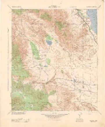
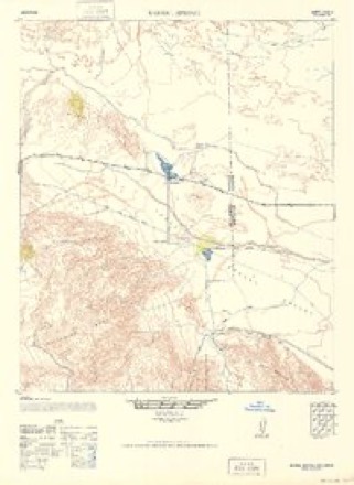
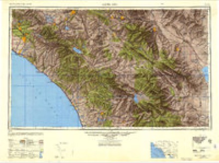
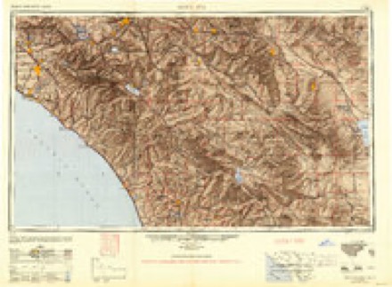
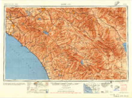
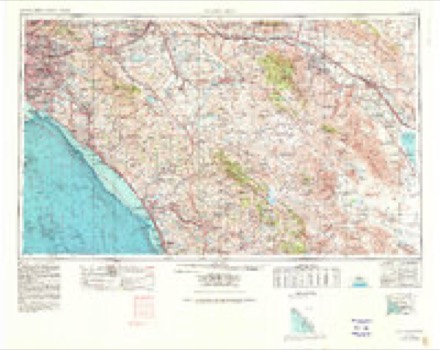
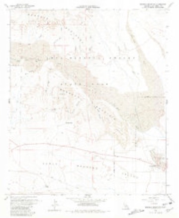
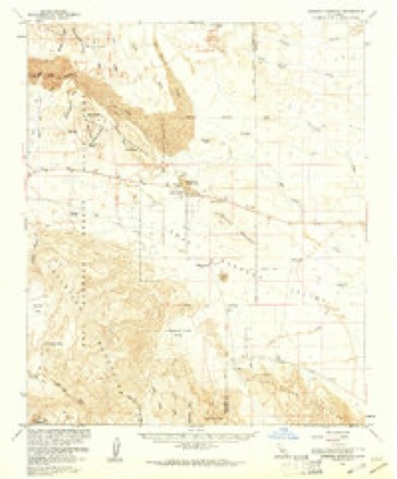
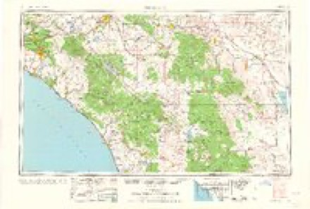
22 topographic sheets cover this place, the earliest surveyed in 1931 and the latest in 1982. It stands in the Borrego Springs census division. It lies in ZIP code area 92004. The Survey maps it on the Borrego Mountain quadrangle.
Then and now
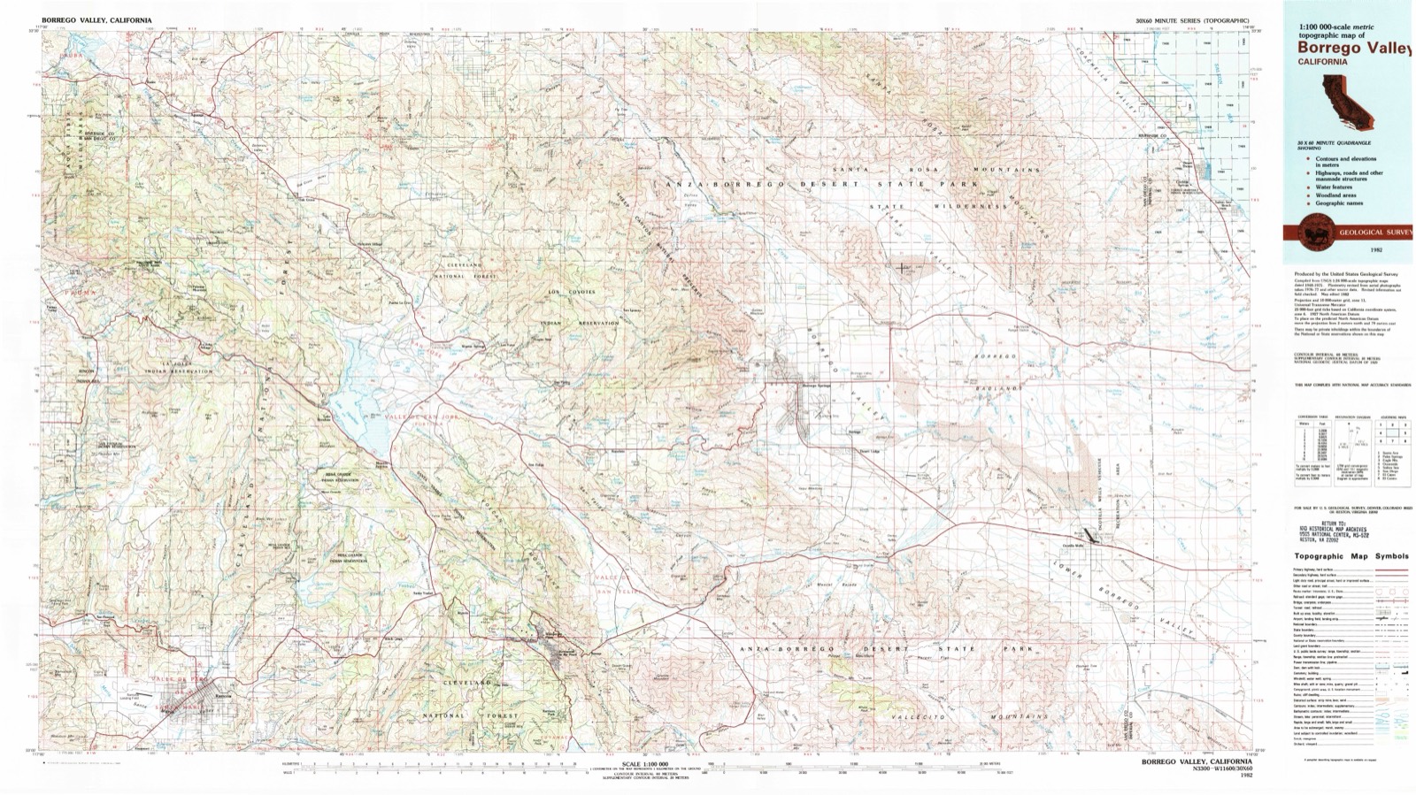
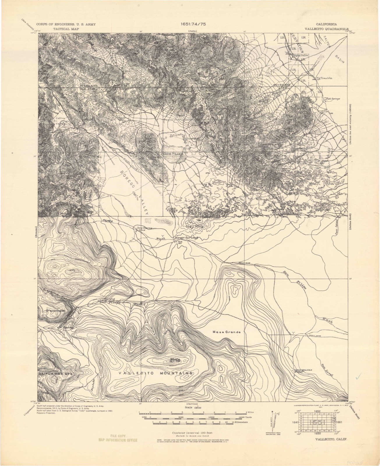
1931 to 1982The same ground, surveyed 51 years apart. Drag the handle to wipe between them. Both sheets are United States Geological Survey originals; neither has been altered.
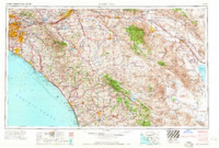
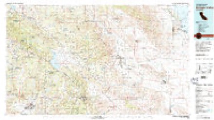
Topographic sheets covering this place
13 surveys from 22 printed sheetsMatched by testing this settlement's coordinate against the published boundary of every sheet in the United States Geological Survey's historical collection. Each opens the scanned sheet at the Survey.
- 1931 USGS Vallecito quadrangle1:125000
- 1942 USGS Barrel Spring quadrangle1:62500, 2 printings
- 1943 USGS Vallecito quadrangle1:125000
- 1947 USGS Barrel Spring quadrangle1:62500
- 1947 USGS Santa Ana quadrangle1:250000
- 1949 USGS Santa Ana quadrangle1:250000
- 1956 USGS Santa Ana quadrangle1:250000
- 1959 USGS Santa Ana quadrangle1:250000, 3 printings
- 1960 USGS Borrego Mountain quadrangle1:24000, 4 printings
- 1960 USGS Borrego Mountain quadrangle1:62500, 2 printings
- 1960 USGS Santa Ana quadrangle1:250000, 2 printings
- 1965 USGS Santa Ana quadrangle1:250000
- 1982 USGS Borrego Valley quadrangle1:100000, 2 printings
Fires near this place
3 since 2014Regional context, not property-specific evidence. The federal wildfire occurrence database lists 3 fires within 5 miles of Ocotillo Wells between 2014 and 2020, burning about 2 acres in total. None started naturally. None was recorded as arson. Distance is straight-line from the map coordinates, so a fire counted here may appear on a neighbouring settlement's page as well.
| Reported cause | Fires |
|---|---|
| Debris and open burning | 2 |
| Equipment and vehicle use | 1 |
The most recent of them, most recent first, with the day each was reported and the service that recorded it.
| Date | Cause | Size | Reported by | Name on the report |
|---|---|---|---|---|
| 28 August 2020 | Equipment and vehicle use | 1.0 acres | San Diego Unit | BLOW SAND HILL ANZA_BOR 2 |
| 8 February 2020 | Debris and open burning | under an acre | San Diego Unit | E HWY 78 ANZA_BORREGO 2 |
| 1 October 2014 | Debris and open burning | under an acre | San Diego Unit | SPLIT MOUNTAIN RD /E HWY |
Mines and quarries near this place
1 within 5 milesRegional context, not property-specific evidence. The federal mineral resources record lists 1 working within 5 miles of Ocotillo Wells: 1 occurrence. None of them still produces. What was taken out: Boron-Borates. Distance is straight-line from the map coordinates, so a quarry counted here may appear on a neighbouring settlement's page as well.
| Where | Site | Commodity | Status | Recorded |
|---|---|---|---|---|
| Benson Dry Lake | Boron-Borates | Occurrence |
Storms near this place
15 since 1999Regional context, not property-specific evidence. The National Weather Service names Ocotillo Wells in 15 storm reports between 1999 and 2024: 6 flash flood, 4 thunderstorm wind, 3 flood, 1 hail. No death or injury is recorded in these reports. Each account below is quoted exactly as the forecast office filed it, from the NOAA Storm Events Database, and each date opens the federal record of that event.
| When | Event | Place named | Harm | What the report says |
|---|---|---|---|---|
| September 2009 | Thunderstorm Wind | Ocotillo Wells | $100,000 | Imperial Irrigation District Energy reported 16 broken power poles and associated equipment along Split Mountain Road in San Diego County due to strong winds from the thunderstorm near Ocotillo Wells. |
| August 2024 | Flash Flood | Ocotillo Wells | $30,000 | Anza Borrego State Park reported, video taped and photographs flash flooding from Fish Creek and across Split Mountain Road. Runoff caused damage to paved road. NWS Kineros modeling predicted 4 to 5 feet water levels at the exit of Fish Creek canyons before Split mountain road on the San Diego County side. |
| September 1999 | Flood | Ocotillo Wells | $30,000 | A near stationary thunderstorm over the Vallecito Mountains dropped over four inches of rain in two hours. Sheet flow occurred along the east side of the mountains. Alma Creek overflowed and washed out half of the south bound lane of Split Mountain Road. Farther south at the junction of Matthew Canyon Wash and Fish Creek, a 200 yard wide section of the same road was washed out. |
| August 2000 | Flash Flood | Ocotillo Wells | $30,000 | no account filed |
| July 2011 | Thunderstorm Wind | Ocotillo Wells | $23,000 | Anza-Borrego State Park rangers reported three power poles down due to thudnerstorm wind gusts. |
| September 2009 | Flash Flood | Ocotillo Wells | $20,000 | A nearly stationary thunderstorm with heavy rain near the town of Ocotillo Wells caused flash flooding along the Fish Creek Wash and Split Mountain Road. Several power poles were down in the area, but this may have been attributed to high winds as well as the flooding. |
| September 2017 | Flash Flood | Ocotillo Wells | $5,000 | A state park ranger reported water up to 6 feet deep and 100 yards wide near the intersection of Salt Wash and Cutacross Trail. An additional photo from twitter showed minor road damage at Highway 78 and Fault Wash near Ocotillo Wells. |
| August 2017 | Flash Flood | Ocotillo Wells | $5,000 | Rain rates exceeding 1 inch per hour produced major flooding in the Fish Creek Wash. Flow filled the slot canyon, and deposited several feet of mud and debris at the mouth of the canyon. Several hikers were stranded, but no injuries occurred. |
| September 2022 | Flood | Ocotillo Wells | - | Borrego Salton Seaway / Arroyo Salado-Truckhaven Trail completely flooded out. Signage and Road Closed signs were placed. About 1 inch of rain fell in this area in 4 hours. |
| August 2021 | Heavy Rain | Ocotillo Wells | - | Ocotillo Wells reports 0.84 inches of rain. |
| September 2017 | Thunderstorm Wind | Ocotillo Wells | - | A state park ranger reported strong outflow winds from a thunderstorm with estimate peak gusts of 60 mph. |
| July 2012 | Hail | Ocotillo Wells | - | Marble to nickel sized hail reported from an intense thunderstorm near Ocotillo Wells. Heavy rain and a lot of cloud to ground lightning was also observed. |
| August 2012 | Flood | Ocotillo Wells | - | California Highway Patrol reported roadway flooding along county highway 22 (Borrego Salton Sea Way). |
| July 2012 | Flash Flood | Ocotillo Wells | - | Flooding reported on Split Mountain Road near Highway 78 in Ocotillo Wells. Source unknown. |
| August 2000 | Thunderstorm Wind | Ocotillo Wells | - | no account filed |
Nearest settlements
The eight closest, with where each one stands in the county. Distances are straight-line, computed from the Geographic Names Information System coordinates.
| Map | Place | Distance | Sheets |
|---|---|---|---|
| Desert Lodge | 11.2 miles | 22 | |
| Borrego | 11.8 miles | 22 | |
| Borrego Springs | 14.9 miles | 35 | |
| Mesquite Oasis | 16.1 miles | 23 | |
| Scissors Crossing | 18.4 miles | 24 | |
| Ranchita | 20.8 miles | 31 | |
| Banner | 22.4 miles | 34 | |
| San Ignacio | 23.2 miles | 35 |
Elsewhere
Matched on this settlement's Geographic Names Information System number rather than its name, so it cannot be a different place of the same name in another state.
| Wikipedia article on Ocotillo Wells | An encyclopaedic summary. Its text is share-alike, so it is linked here rather than copied. |
| Wikidata item Q3475156 | The structured record the population and elevation above come from. Public domain (CC0). |
Provenance
This settlement is recorded in the Geographic Names Information System as feature 255675. The sheet list is computed by point-in-boundary test against the United States Geological Survey's historical topographic inventory. Both are works of the United States government and carry no copyright under 17 U.S.C. 105.
Wildfire. Short, Karen C. 2022. Spatial wildfire occurrence data for the United States, 1992-2020 [FPA_FOD_20221014]. 6th Edition. Fort Collins, CO: Forest Service Research Data Archive. https://doi.org/10.2737/RDS-2013-0009.6 Collected with United States Government funding and usable without additional permissions or fees.
Mines and quarries. USGS Mineral Resources Data System (MRDS) https://mrdata.usgs.gov/mrds/ A work of the United States government, no copyright under 17 U.S.C. 105.
Storms. NOAA National Centers for Environmental Information, Storm Events Database https://www.ncei.noaa.gov/stormevents/ A work of the United States government, no copyright under 17 U.S.C. 105. Narratives are quoted verbatim from the National Weather Service report and are not edited or summarised.