 Block
BlockRanchita, California
31 topographic sheets cover this place, the earliest surveyed in 1903 and the latest in 1982. It stands in the Palomar-Julian census division. It lies in ZIP code area 92066. It lies near Camel Rock. The Survey maps it on the Ranchita quadrangle. It stands 4,065 feet above sea level.
Then and now
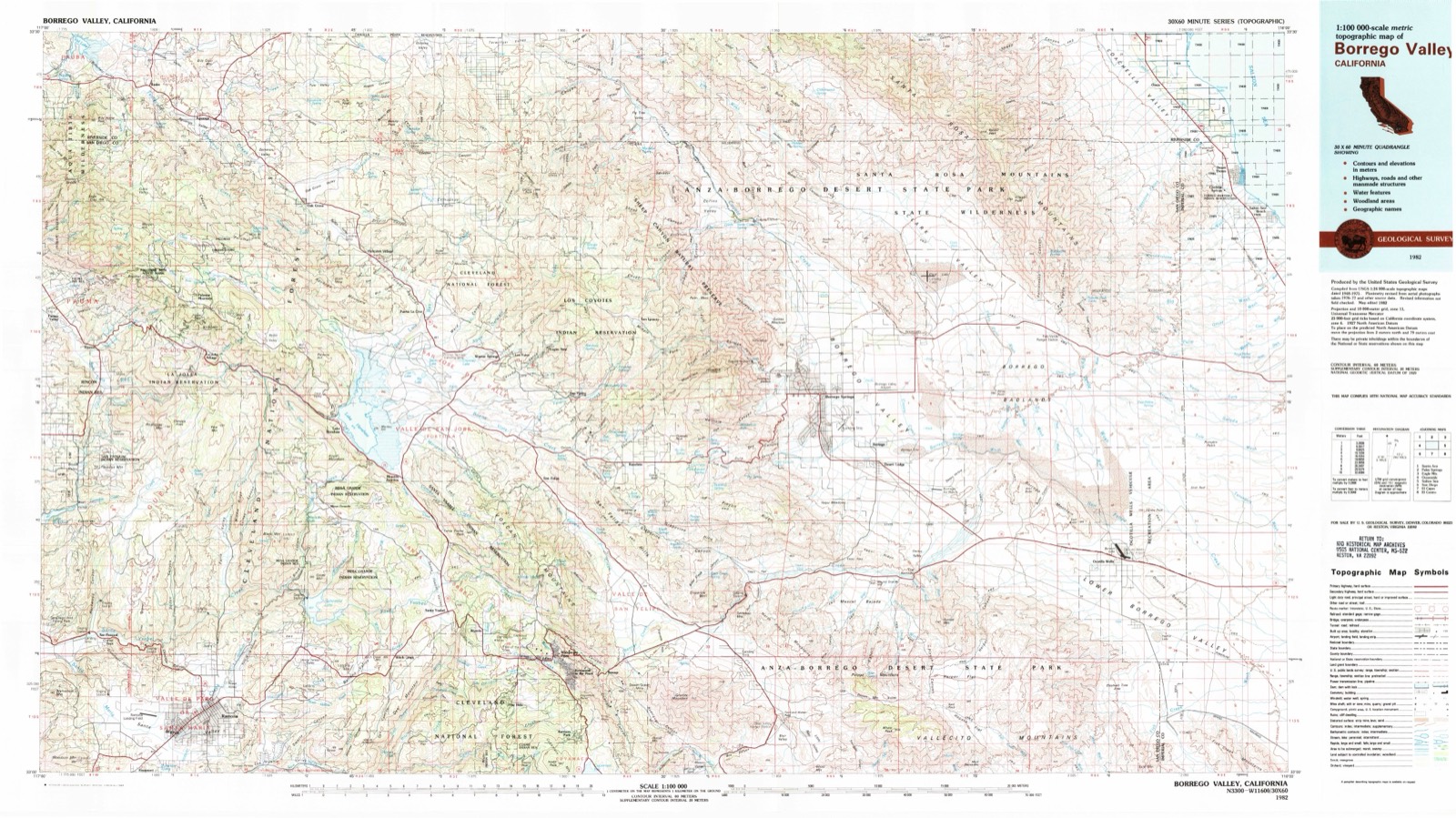
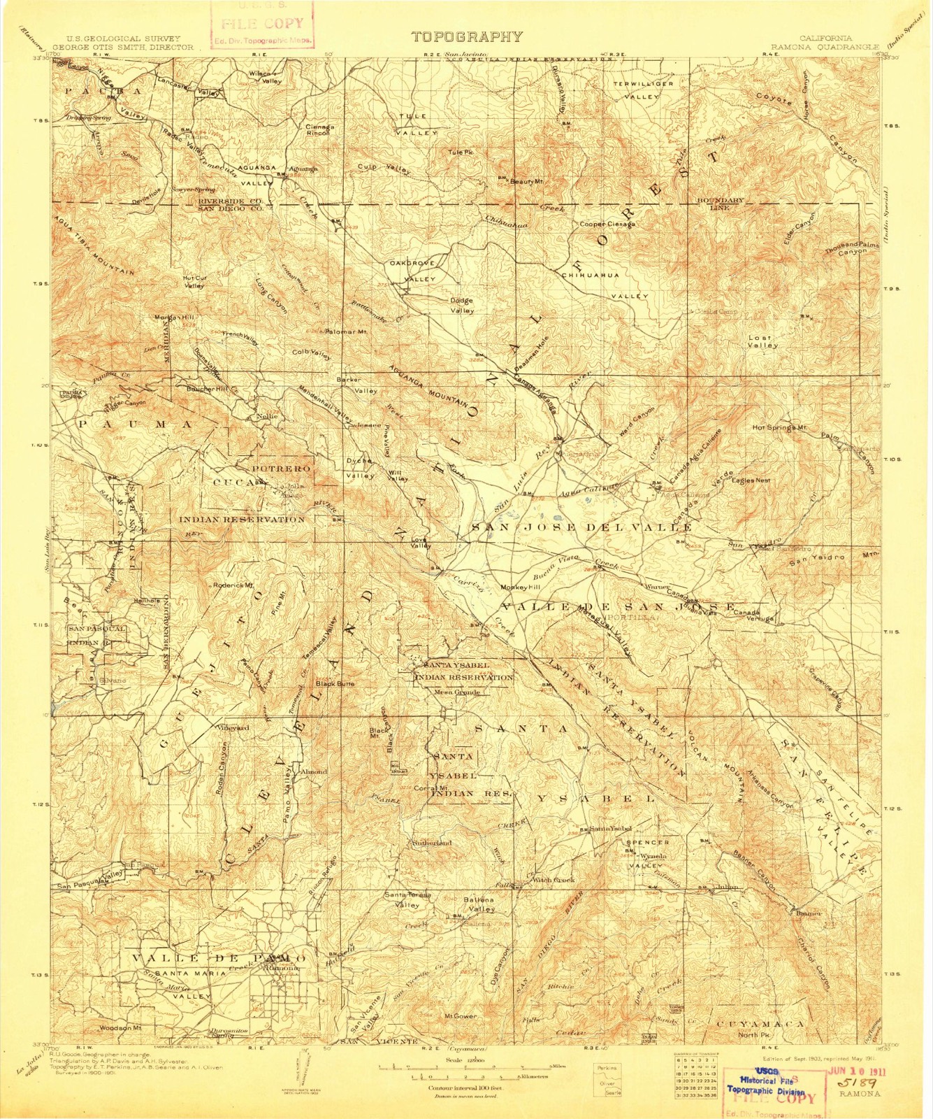
1903 to 1982The same ground, surveyed 79 years apart. Drag the handle to wipe between them. Both sheets are United States Geological Survey originals; neither has been altered.
Compare 1903 against another survey:
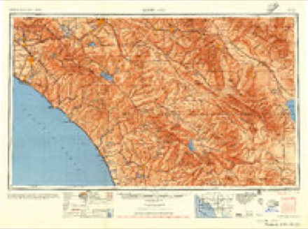
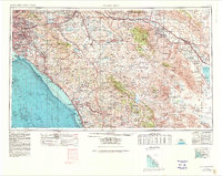
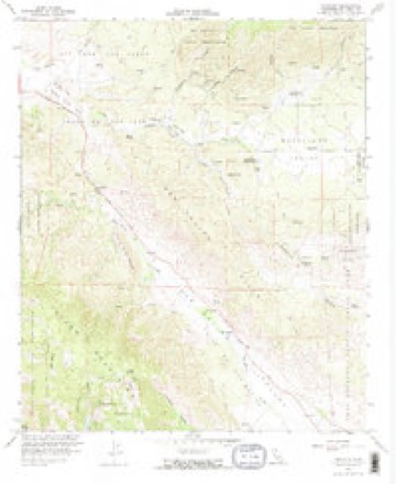
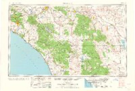
Topographic sheets covering this place
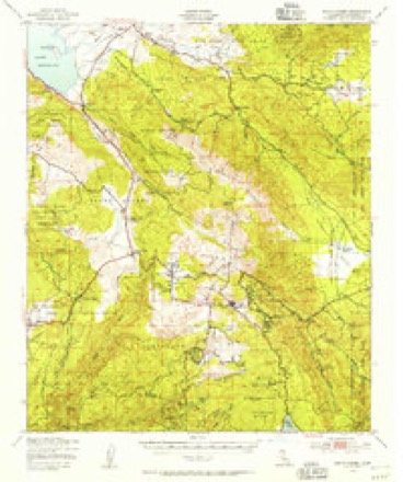
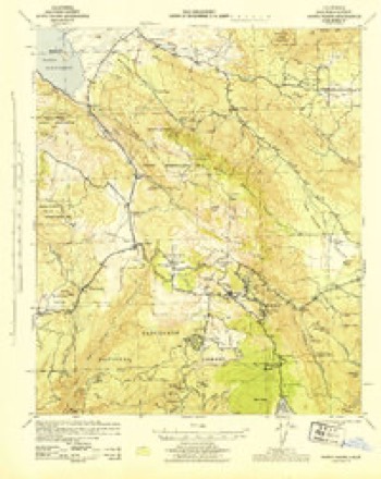
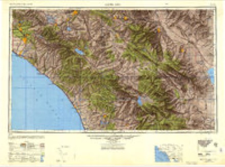
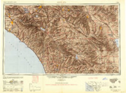
13 surveys from 31 printed sheetsMatched by testing this settlement's coordinate against the published boundary of every sheet in the United States Geological Survey's historical collection. Each opens the scanned sheet at the Survey.
- 1903 USGS Ramona quadrangle1:125000, 6 printings
- 1904 USGS Southern California Sheet No. 2 quadrangle1:250000, 5 printings
- 1939 USGS Santa Ysabel quadrangle1:62500, 2 printings
- 1943 USGS Santa Ysabel quadrangle1:62500
- 1947 USGS Santa Ana quadrangle1:250000
- 1949 USGS Santa Ana quadrangle1:250000
- 1956 USGS Santa Ana quadrangle1:250000
- 1959 USGS Santa Ana quadrangle1:250000, 3 printings
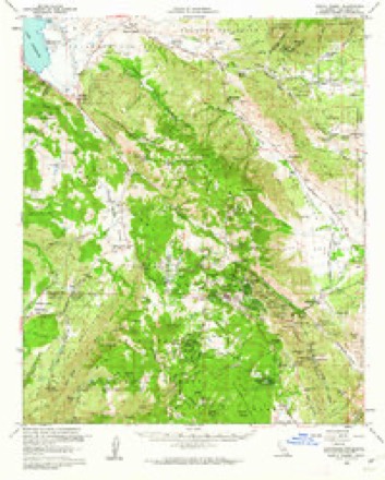
- 1960 USGS Ranchita quadrangle1:24000, 3 printings
- 1960 USGS Santa Ana quadrangle1:250000, 2 printings
- 1960 USGS Santa Ysabel quadrangle1:62500, 3 printings
- 1965 USGS Santa Ana quadrangle1:250000
- 1982 USGS Borrego Valley quadrangle1:100000, 2 printings
Fires near this place
58 since 1992Regional context, not property-specific evidence. The federal wildfire occurrence database lists 58 fires within 5 miles of Ranchita between 1992 and 2020, burning about 2,623 acres in total. 21 started naturally. 2 were recorded as arson. Distance is straight-line from the map coordinates, so a fire counted here may appear on a neighbouring settlement's page as well.
| Reported cause | Fires |
|---|---|
| Natural | 21 |
| Missing data/not specified/undetermined | 16 |
| Equipment and vehicle use | 12 |
| Debris and open burning | 4 |
| Recreation and ceremony | 2 |
| Arson/incendiarism | 2 |
| Smoking | 1 |
The most recent of them, most recent first, with the day each was reported and the service that recorded it.
| Date | Cause | Size | Reported by | Name on the report |
|---|---|---|---|---|
| 9 September 2006 | Equipment and vehicle use | 2.0 acres | San Diego Unit | YAQUI |
| 8 September 1996 | Natural | under an acre | San Diego Unit | FELIPE # 4 |
| 6 September 2013 | Natural | 13 acres | California Desert District | RED |
| 5 September 1994 | Natural | under an acre | San Diego Unit | RANCHITA |
| 25 September 2011 | Missing data/not specified/undetermined | 1.0 acres | San Diego Unit | MONTEZUMA VALLEY RD MP- 5 |
| 20 September 2005 | Natural | 3.5 acres | San Diego Unit | GRAPEVINE |
| 10 September 2000 | Natural | 1.0 acres | California Desert District | HOTSPRINGS |
| 9 August 2006 | Equipment and vehicle use | 1.5 acres | San Diego Unit | RANCHITA |
Settlements close enough to share some of these fires:
Mines and quarries near this place
10 of 26 shownRegional context, not property-specific evidence. The federal mineral resources record lists 26 workings within 5 miles of Ranchita: 10 occurrences, 6 prospects, 6 past producers, 4 producers. 4 still produce. What was taken out: Gold, Tungsten, Stone, Marble, Dimension. Distance is straight-line from the map coordinates, so a quarry counted here may appear on a neighbouring settlement's page as well.
| Where | Site | Commodity | Status | Recorded |
|---|---|---|---|---|
| Unnamed | Stone, Crushed/Broken | Occurrence | ||
| Unnamed Prospect | Phosphorus-Phosphates | Occurrence | ||
| Verruga Deposit | Stone, Marble, Dimension | Producer | Metamorphic | |
| Verruga Deposit | Stone, Marble, Dimension | Past Producer | ||
| Sentenac Deposit | Stone, Gold | Occurrence | ||
| Desert Star Mining Co | Tungsten | Past Producer | ||
| Desert Star Mining Co. | Tungsten | Occurrence | ||
| Long Deposit | Tungsten | Occurrence | Scheelite | |
| Long Deposit | Tungsten | Prospect | ||
| Payoff Mine | Tungsten | Past Producer | Scheelite |
Storms near this place
15 since 2005Regional context, not property-specific evidence. The National Weather Service names Ranchita in 15 storm reports between 2005 and 2022: 6 flash flood, 4 hail, 3 heavy rain, 1 thunderstorm wind. No death or injury is recorded in these reports. Each account below is quoted exactly as the forecast office filed it, from the NOAA Storm Events Database, and each date opens the federal record of that event.
| When | Event | Place named | Harm | What the report says |
|---|---|---|---|---|
| August 2005 | Flash Flood | Ranchita | $350,000 | Heavy rain over the Mataguay burn area triggered large mud flows that buried more than 4 miles of S2 in deep mud. Seven vehicles were trapped in the mud, and a swift water rescue was conducted when one of the vehicles was swept off the road. An estimated 20,000 cubic yards of mud came down onto the road, leaving a mess that took days to clean up. |
| August 2005 | Flash Flood | Ranchita | $40,000 | Highway S2 washed out in four places near San Felipe. |
| July 2005 | Flash Flood | Ranchita | $20,000 | Flash flooding and mud flows reported on San Felipe Rd at Montezuma Valley Rd in the old Matiguay burn area. |
| July 2005 | Thunderstorm Wind | Ranchita | $5,000 | The same thunderstorm that dropped 3/4 inch hail also produced estimated wind gusts over 60 mph in the town of Ranchita as well as near Montezuma Valley Rd. Doppler radar indicated a mesocyclone with this storm. |
| July 2005 | Flash Flood | Ranchita | $5,000 | Flash flooding between 1 and 2 feet deep and hail was reported at Montezuma Valley Rd. |
| September 2022 | Heavy Rain | Ranchita | - | Mesonet station RCHC1 Ranchita measured 4.62 inches of storm total rainfall. |
| August 2021 | Heavy Rain | Ranchita | - | The Ranchita RAWS measures 2.27 inches of rain, most which fell in two hours. |
| August 2014 | Flash Flood | Ranchita | - | CHP reports Montezuma Valley Road being completely flooded with debris everywhere. The eastbound lane of that road completely collapsed. A spotter just south of this location reported heavy rain and debris flows on highway S-2. |
| August 2012 | Flood | Ranchita | - | A spotter reported 2 to 3 inches of water flowing along part of Route 78 and County Road S3 (San Felipe Road). |A Borrego County Road Maintenance crew also reported water and debris flowing across San Felipe Road just north of Highway 78 between mile markers 12 and 14. |
| August 2008 | Flash Flood | Ranchita | - | Mud and sand washed across county road S2 at several locations in Shelter Valley, Blair Valley, Box Canyon, and Mason Valley. |
| August 2008 | Hail | Ranchita | - | Nickel size hail was observed and photographed approximately 3 miles west of Ranchita. |
| September 2008 | Hail | Ranchita | - | A trained spotter reported golf ball size hail in Ranchita. |
| July 2005 | Hail | Ranchita | - | Two reports of 3/4 hail were received as a severe thunderstorm moved over Ranchita. Hail fell from Ranchita to just northeast of Montezuma Valley Rd. |
| July 2005 | Heavy Rain | Ranchita | - | Flood Control reported 0.50 inches of rain in 10 minutes in a gage located at San Felipe Creek. |
| October 2005 | Hail | Ranchita | - | Dime to quarter size hail and frequent lightning was observed in Ranchita. |
Nearest settlements
The eight closest, with where each one stands in the county. Distances are straight-line, computed from the Geographic Names Information System coordinates.
| Map | Place | Distance | Sheets |
|---|---|---|---|
| San Ysidro | 4.1 miles | 35 | |
| San Felipe | 4.4 miles | 31 | |
| San Ignacio | 6.5 miles | 35 | |
| Eagles Nest | 6.8 miles | 35 | |
| Los Tules | 7.5 miles | 35 | |
| Warner Springs | 8.0 miles | 34 | |
| Scissors Crossing | 8.1 miles | 24 | |
| Borrego Springs | 8.1 miles | 35 |
Elsewhere
Matched on this settlement's Geographic Names Information System number rather than its name, so it cannot be a different place of the same name in another state.
| Wikipedia article on Ranchita | An encyclopaedic summary. Its text is share-alike, so it is linked here rather than copied. |
| Wikidata item Q7290809 | The structured record the population and elevation above come from. Public domain (CC0). |
Provenance
This settlement is recorded in the Geographic Names Information System as feature 247950. The sheet list is computed by point-in-boundary test against the United States Geological Survey's historical topographic inventory. Both are works of the United States government and carry no copyright under 17 U.S.C. 105.
Wildfire. Short, Karen C. 2022. Spatial wildfire occurrence data for the United States, 1992-2020 [FPA_FOD_20221014]. 6th Edition. Fort Collins, CO: Forest Service Research Data Archive. https://doi.org/10.2737/RDS-2013-0009.6 Collected with United States Government funding and usable without additional permissions or fees.
Mines and quarries. USGS Mineral Resources Data System (MRDS) https://mrdata.usgs.gov/mrds/ A work of the United States government, no copyright under 17 U.S.C. 105.
Storms. NOAA National Centers for Environmental Information, Storm Events Database https://www.ncei.noaa.gov/stormevents/ A work of the United States government, no copyright under 17 U.S.C. 105. Narratives are quoted verbatim from the National Weather Service report and are not edited or summarised.