 Block
BlockPerris, California
35 topographic sheets cover this place, the earliest surveyed in 1901 and the latest in 1983. It stands in the Perris Valley census division. It lies in ZIP code area 92570. The Survey maps it on the Perris quadrangle. 78,700 people lived here at the 2020 count. It stands 1,453 feet above sea level.
Research this city
Then and now
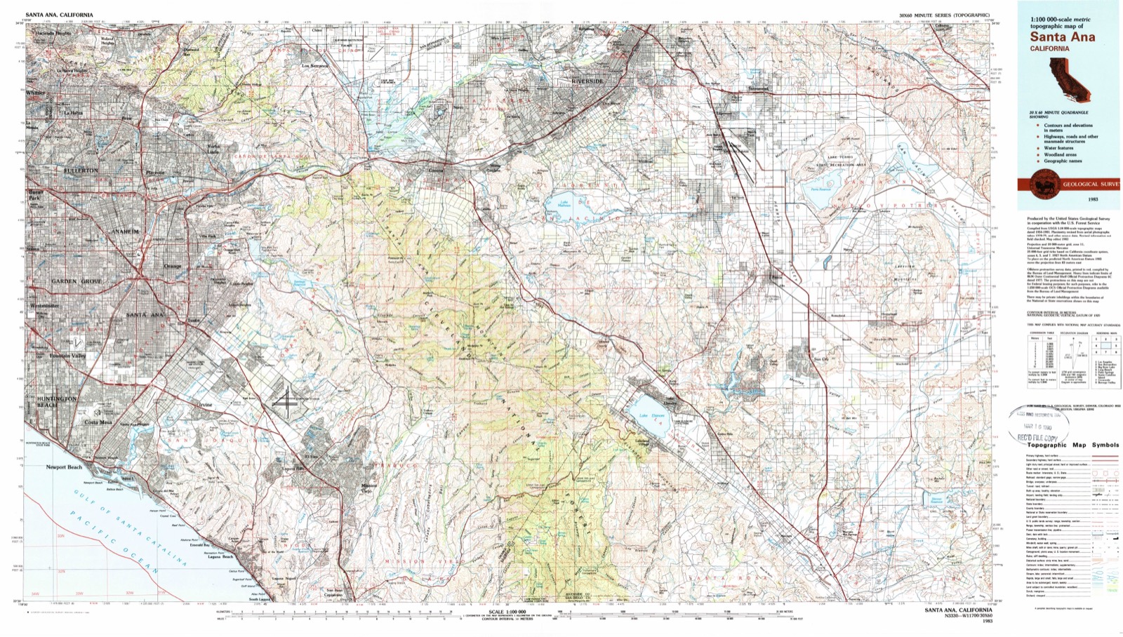
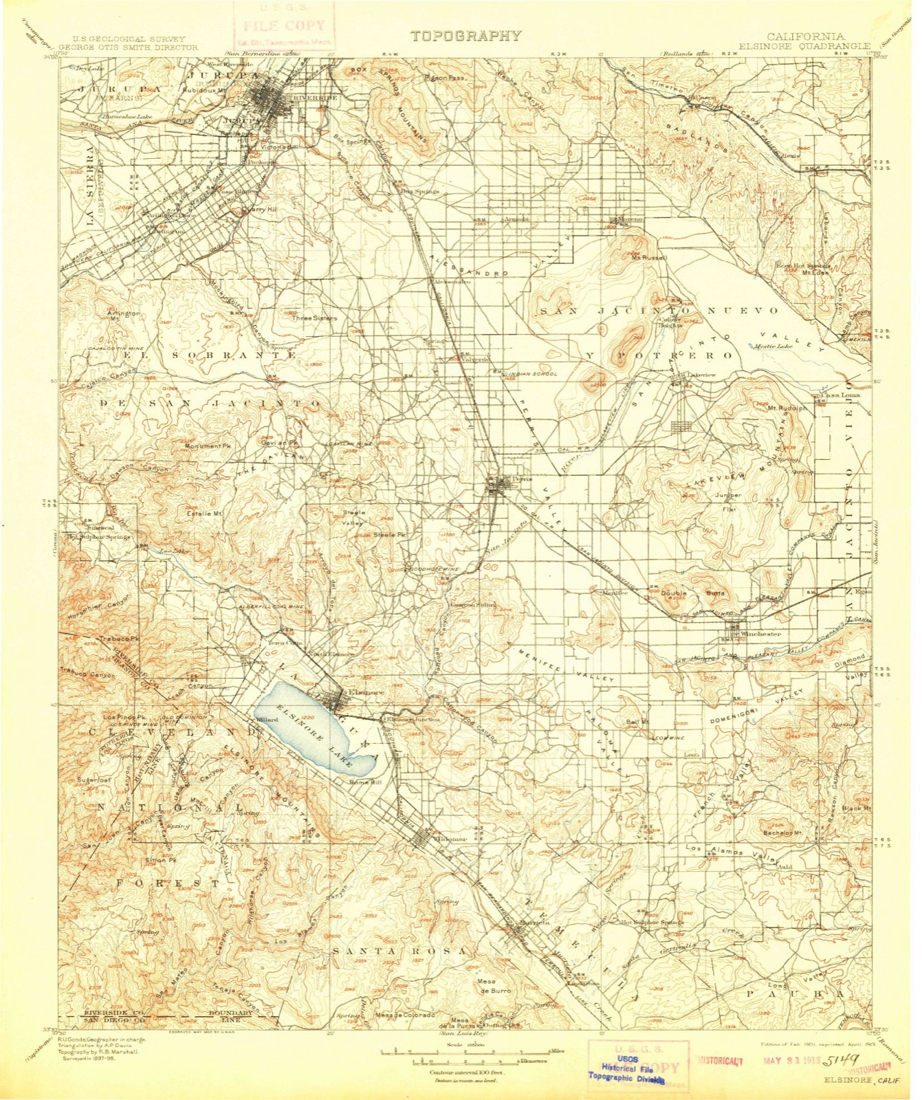
1901 to 1983The same ground, surveyed 82 years apart. Drag the handle to wipe between them. Both sheets are United States Geological Survey originals; neither has been altered.
Compare 1901 against another survey:
On record in Perris
Buildings and businesses the archive holds for this place. Each opens its own page, with the source record it came from.
On the National Register 2 records
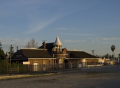 Perris Depotlisted 1994
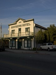 Southern Hotellisted 1992
Population over time
2 figuresPerris grew from 68,386 to 78,700 between 2010 and 2020. These are the recorded population figures Wikidata holds for this place, reached through the Geographic Names Information System number this page is keyed on rather than by name, so they belong to this place and not to another of the same name. Most are census counts, but not all are: an early figure may be a founding or settlement estimate, and an estimate published within five years of a census is left out. The change column is computed, and is left blank where more than 20 years separate a figure from the one before it, because a gap that long is not a change between two counts.
| Year | People | Change |
|---|---|---|
| 2010 | 68,386 | |
| 2020 | 78,700 | +10,314 (+15%) |
Topographic sheets covering this place
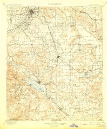
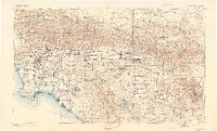
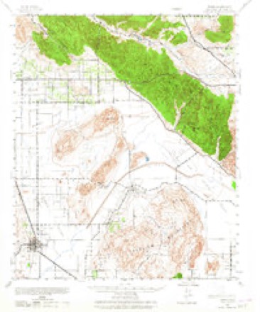
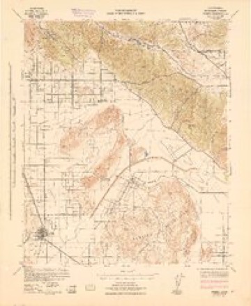
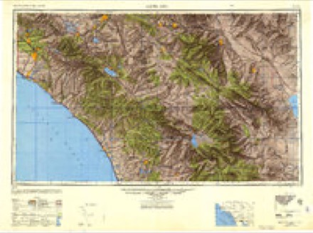
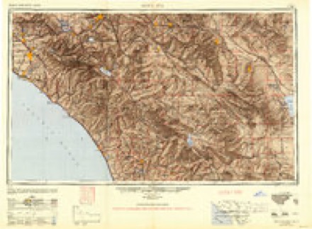
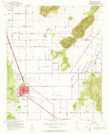
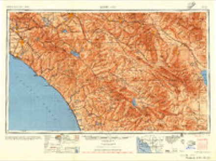
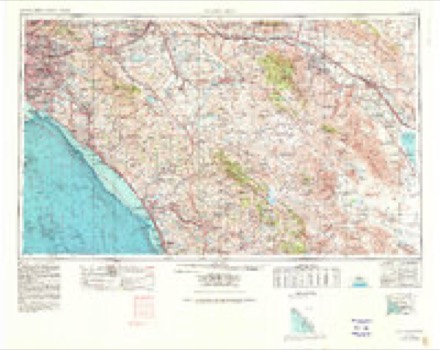
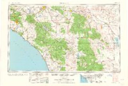
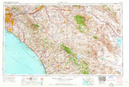
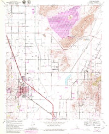
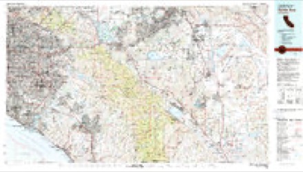
14 surveys from 35 printed sheetsMatched by testing this settlement's coordinate against the published boundary of every sheet in the United States Geological Survey's historical collection. Each opens the scanned sheet at the Survey.
- 1901 USGS Elsinore quadrangle1:125000, 8 printings
- 1901 USGS Southern California Sheet No. 1 quadrangle1:250000, 6 printings
- 1904 USGS Southern California Sheet No. 1 quadrangle1:250000, 2 printings
- 1942 USGS Perris quadrangle1:62500, 2 printings
- 1943 USGS Perris quadrangle1:62500
- 1947 USGS Santa Ana quadrangle1:250000
- 1949 USGS Santa Ana quadrangle1:250000
- 1953 USGS Perris quadrangle1:24000, 2 printings
- 1956 USGS Santa Ana quadrangle1:250000
- 1959 USGS Santa Ana quadrangle1:250000, 3 printings
- 1960 USGS Santa Ana quadrangle1:250000, 2 printings
- 1965 USGS Santa Ana quadrangle1:250000
- 1967 USGS Perris quadrangle1:24000, 4 printings
- 1983 USGS Santa Ana quadrangle1:100000

Fires near this place
2,109 since 1992Regional context, not property-specific evidence. The federal wildfire occurrence database lists 2,109 fires within 5 miles of Perris between 1992 and 2020, burning about 4,242 acres in total. 8 started naturally. 185 were recorded as arson. Distance is straight-line from the map coordinates, so a fire counted here may appear on a neighbouring settlement's page as well.
| Reported cause | Fires |
|---|---|
| Missing data/not specified/undetermined | 1081 |
| Equipment and vehicle use | 464 |
| Arson/incendiarism | 185 |
| Misuse of fire by a minor | 153 |
| Debris and open burning | 90 |
| Smoking | 74 |
| Recreation and ceremony | 24 |
| Firearms and explosives use | 17 |
| Power generation/transmission/distribution | 12 |
| Natural | 8 |
| Fireworks | 1 |
The most recent of them, most recent first, with the day each was reported and the service that recorded it.
| Date | Cause | Size | Reported by | Name on the report |
|---|---|---|---|---|
| 9 September 2012 | Missing data/not specified/undetermined | 1.0 acres | Riverside Unit | E MARKHAM ST /N PERRIS BL |
| 9 September 2011 | Missing data/not specified/undetermined | 1.0 acres | Riverside Unit | ELLIS AV GOOD |
| 9 September 2011 | Debris and open burning | 1.0 acres | Riverside Unit | GARZA RD / WITHERS RD |
| 9 September 2008 | Equipment and vehicle use | 1.0 acres | Riverside Unit | CARROLL |
| 9 September 2004 | Equipment and vehicle use | under an acre | Riverside Unit | LOCAL FIRE |
| 9 September 2004 | Missing data/not specified/undetermined | under an acre | California Desert District | TREE |
| 9 September 2003 | Equipment and vehicle use | under an acre | California Desert District | GOETZ |
| 9 September 2001 | Recreation and ceremony | 1.0 acres | Riverside Unit | STATE FIRE |
Settlements close enough to share some of these fires:
Mines and quarries near this place
10 of 33 shownRegional context, not property-specific evidence. The federal mineral resources record lists 33 workings within 5 miles of Perris: 15 past producers, 7 prospects, 6 producers, 5 occurrences. 6 still produce. What was taken out: Gold, Granite, Stone, Crushed/Broken, Manganese. Distance is straight-line from the map coordinates, so a quarry counted here may appear on a neighbouring settlement's page as well.
| Where | Site | Commodity | Status | Recorded |
|---|---|---|---|---|
| Good Hope | Gold, Silver | Past Producer | ||
| Gravel Pit | Sand and Gravel, Construction | Past Producer | ||
| Middlesworth Clay Deposit | Clay | Past Producer | ||
| Railroad Canyon | Silica | Occurrence | ||
| San Antonio Quarry | Stone, Dimension | Past Producer | ||
| Silt Deposit | Clay | Occurrence | ||
| Smith Sand Pit | Silica | Past Producer | ||
| Unnamed Metasandstone Quarry | Stone, Dimension | Past Producer | ||
| Black Bird Mine-East Group | Manganese | Prospect | 1918 | |
| Elsinore Manganese Deposits | Manganese | Occurrence | Rhodonite |
Storms near this place
32 since 2000Regional context, not property-specific evidence. The National Weather Service names Perris in 32 storm reports between 2000 and 2025: 11 thunderstorm wind, 5 flood, 5 flash flood, 4 funnel cloud. The reports record 2 injuries. Each account below is quoted exactly as the forecast office filed it, from the NOAA Storm Events Database, and each date opens the federal record of that event.
| When | Event | Place named | Harm | What the report says |
|---|---|---|---|---|
| February 2001 | Flood | Perris | 1 hurt, $60,000 | no account filed |
| July 2003 | Wildfire | Perris | 1 hurt | no account filed |
| January 2021 | Flood | Perris | $1,000,000 | Vehicle stuck in water on San Jacinto and Murrieta Rd in Perris., where a water rescue was conducted. |
| February 2003 | Flood | Perris | $100,000 | no account filed |
| September 2024 | Thunderstorm Wind | Perris | $50,000 | Socal Edison weather station on Ellis avenue recorded gust to 71 mph. Wind damage was observed during storm survey on September 9. WCM and new meteorologist surveyed area on September 10. |
| September 2024 | Thunderstorm Wind | Perris | $40,000 | California Highway Patrol reported numerous trees downed by wind along and near I-215 in Perris. A Socal Edison weather station recorded a gust to 71 mph on Ellis Avenue. Pea sized hail was also reported. |
| September 2015 | Thunderstorm Wind | Perris | $30,000 | CHP reported a power pole down with live wires in the roadway near the intersection of Cowie Avenue and Lopez Road. |
| August 2017 | Thunderstorm Wind | Perris | $25,000 | Downburst winds toppled power lines and downed multiple large trees blocking several roadways in Perris. |
| August 2012 | Thunderstorm Wind | Perris | $20,000 | On the west side of Perris, on Olive and Ellis Streets and just north of Highway 74, several small and large tree limbs down. Two power poles were broken by wind but remained leaning on Ellis Street just north of Highway 74. One rural street in that area was closed due to water about 12 inches deep. Estimated wind gusts were 50-55 mph for just this area. This damage was determined to be associated with a wet microburst from the severe storm in the area. |
| October 2004 | Flash Flood | Perris | $20,000 | Heavy rained caused the San Jacinto River to flood and several vehicles became stuck in flood waters along Dunlap and San Jacinto Avenues. |
| August 2005 | Flash Flood | Perris | $15,000 | no account filed |
| September 2024 | Thunderstorm Wind | Perris | $10,000 | Wind gusts from thunderstorms measured at 50 mph along Nuevo Road. |
| September 2024 | Thunderstorm Wind | Perris | $10,000 | Socal Edison weather station recorded wind gusts along SR 74 from thunderstorm. |
| October 2004 | Flash Flood | Perris | $5,000 | Swift moving water washed out a small portion of Highway 74 near Mapes Road. |
| November 2000 | Thunderstorm Wind | Perris | $2,500 | no account filed |
| September 2015 | Flood | Perris | $2,000 | CHP reported vehicle stuck in flood waters at Marshall Street and Lopez Road. |
| June 2015 | Lightning | Perris | $1,500 | CHP reported lightning striking a wooden power pole with the pole catching on fire. |
| August 2025 | Thunderstorm Wind | Perris | $1,000 | Report of a tree down blocking the Emerett Ln in Perris. Nearby SCE Orange Avenue station reported a peak wind gust of 41 mph at 420 PM. |
| July 2015 | Thunderstorm Wind | Perris | $500 | CHP reported a downed palm tree blocking the roadway. |
| August 2025 | Thunderstorm Wind | Perris | - | Mesonet station 4 miles ESE Perris recorded a 76 mph gust associated with thunderstorm outflow. Likely a microburst. |
| August 2025 | Heavy Rain | Perris | - | Mesonet station PRRSR Perris recorded 1.06 of rain within a few hours. |
| March 2024 | Flood | Perris | - | Two vehicles were submerged in water due to flooding at Mountain Ave and Marie Street after heavy rain and thunderstorms moved through the area. |
| March 2015 | Funnel Cloud | Perris | - | The public reported a brief cold air funnel over Perris. |
| September 2013 | Funnel Cloud | Perris | - | A ham radio operator reported 2 funnel clouds over Lake Perris. |
| August 2013 | Flash Flood | Perris | - | California Highway Patrol reported Orange Avenue from Murrieta Road to Evans Road, just northeast of Perris, was completely flooded and vehicles were not able to make it through. A nearby mesonet station recorded 0.69 inches of rain in 20 minutes. |
| August 2012 | Tornado (EF0) | Perris | - | A land spout tornado was associated with and southwest of the parent (non-supercell) thunderstorm that was over Nuevo, on the east side of Perris. The land spout appeared to be over the fields just east of or near Interstate 215. Separate wind damage from the parent thunderstorm was observed to the northeast over Nuevo on Menifee Road. |There was no apparent damage from the land spout itself. A spotter also sent in video of the land spout. |
| September 2012 | Tornado (EF0) | Perris | - | A land spout was observed at 1330 PST along interstate 215 and highway 74 in Perris. No funnel was observed at the cloud base, and the land spout remained nearly stationary. Pictures and a video were submitted by spotters. |
| August 2012 | Funnel Cloud | Perris | - | A funnel cloud was observed just south of Perris from approximately 1525 to 1535 PST on the 12th. The funnel was observed by a spotter located near Albert Hill, north of Lake Elsinore as the severe thunderstorm moved east along Highway 74. The funnel was not determined to be associated with the landspout east of Perris. |
| September 2011 | Funnel Cloud | Perris | - | Storm Chaser Will Wilkens captured a funnel cloud on video near Perris around 1440 PST. There was a strong thunderstorm in the area when the funnel was sighted. |
| August 2003 | Flash Flood | Perris | - | no account filed |
| August 2003 | Wildfire | Perris | - | no account filed |
| July 2001 | Wildfire | Perris | - | no account filed |
Nearest settlements
The eight closest, with where each one stands in the county. Distances are straight-line, computed from the Geographic Names Information System coordinates.
| Map | Place | Distance | Sheets |
|---|---|---|---|
| Ellis | 0.9 miles | 35 | |
| Rancho las Perris | 2.0 miles | 35 | |
| Good Hope | 2.4 miles | 40 | |
| Good Meadow | 3.2 miles | 40 | |
| Romoland | 3.8 miles | 35 | |
| Nuevo | 4.6 miles | 35 | |
| Val Verde | 4.7 miles | 40 | |
| Mead Valley | 5.0 miles | 40 |
Elsewhere
Matched on this settlement's Geographic Names Information System number rather than its name, so it cannot be a different place of the same name in another state.
| Wikipedia article on Perris | An encyclopaedic summary. Its text is share-alike, so it is linked here rather than copied. |
| Wikidata item Q983609 | The structured record the population and elevation above come from. Public domain (CC0). |
Provenance
This settlement is recorded in the Geographic Names Information System as feature 1652772. The sheet list is computed by point-in-boundary test against the United States Geological Survey's historical topographic inventory. Both are works of the United States government and carry no copyright under 17 U.S.C. 105.
Wildfire. Short, Karen C. 2022. Spatial wildfire occurrence data for the United States, 1992-2020 [FPA_FOD_20221014]. 6th Edition. Fort Collins, CO: Forest Service Research Data Archive. https://doi.org/10.2737/RDS-2013-0009.6 Collected with United States Government funding and usable without additional permissions or fees.
Mines and quarries. USGS Mineral Resources Data System (MRDS) https://mrdata.usgs.gov/mrds/ A work of the United States government, no copyright under 17 U.S.C. 105.
Storms. NOAA National Centers for Environmental Information, Storm Events Database https://www.ncei.noaa.gov/stormevents/ A work of the United States government, no copyright under 17 U.S.C. 105. Narratives are quoted verbatim from the National Weather Service report and are not edited or summarised.