 Block
BlockSan Ysidro, California
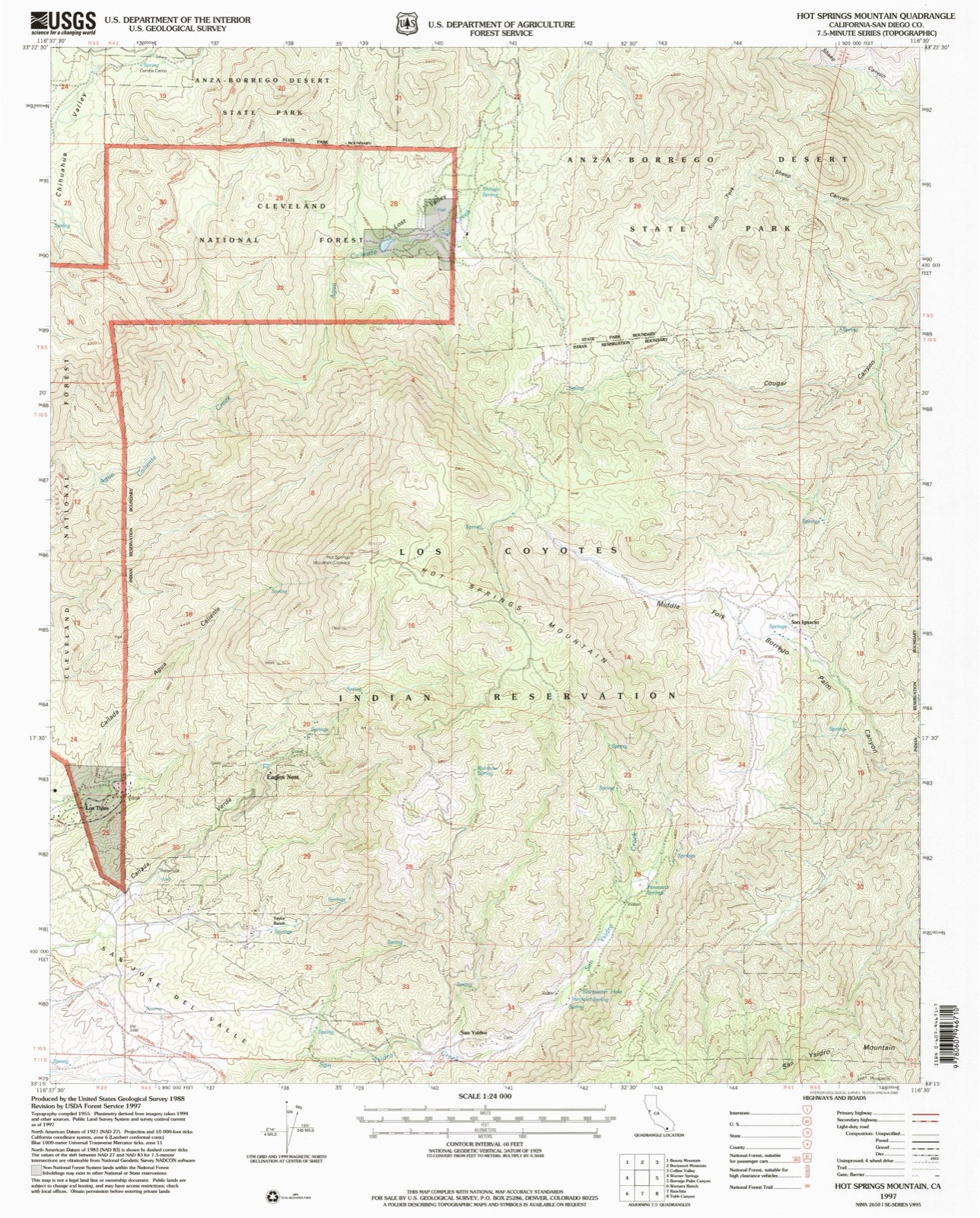
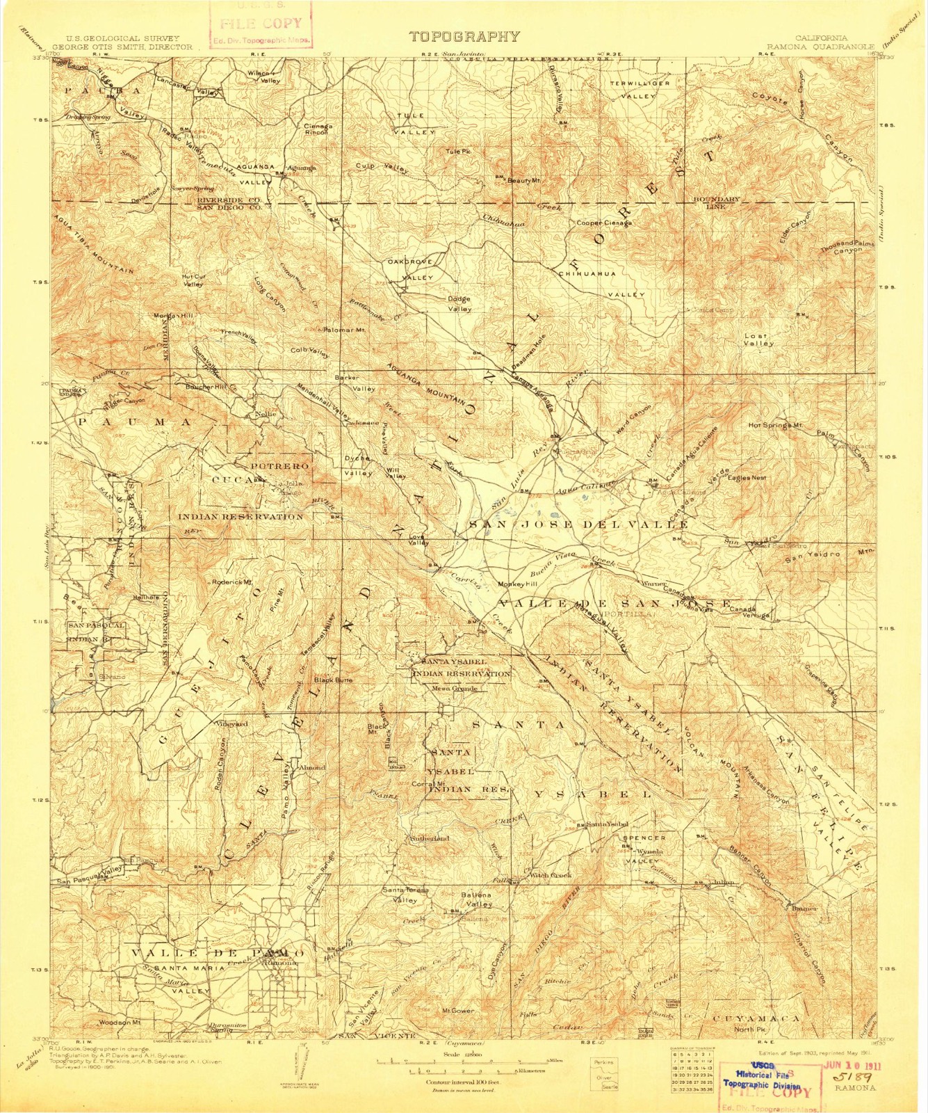
35 topographic sheets cover this place, the earliest surveyed in 1903 and the latest in 1997. It stands in the Palomar-Julian census division. It lies in ZIP code area 92086. The Survey maps it on the Hot Springs Mountain quadrangle.
Then and now
1903 to 1997The same ground, surveyed 94 years apart. Drag the handle to wipe between them. Both sheets are United States Geological Survey originals; neither has been altered.
Compare 1903 against another survey:
On record in San Ysidro
Buildings and businesses the archive holds for this place. Each opens its own page, with the source record it came from.
On the National Register 1 record
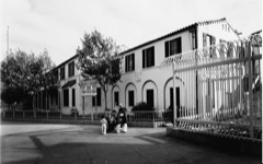 U.S. Inspection Station/U.S. Custom Houselisted 1983
Topographic sheets covering this place
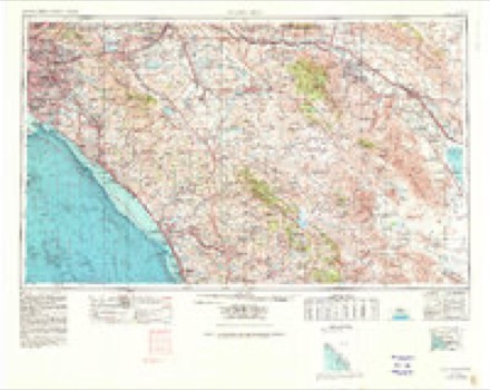
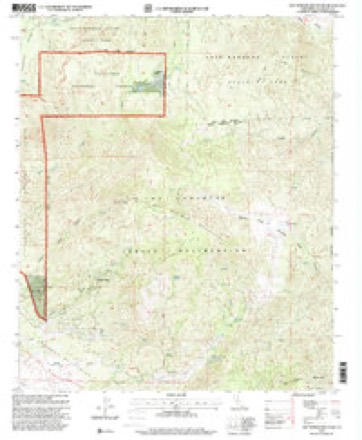
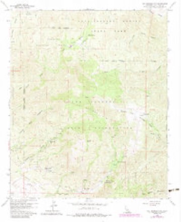
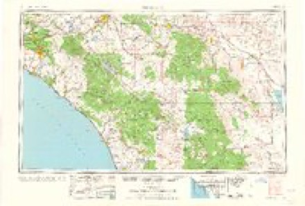
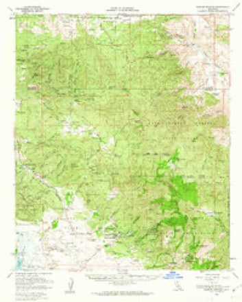
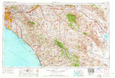
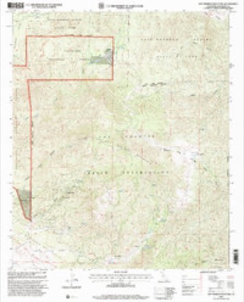
17 surveys from 35 printed sheetsMatched by testing this settlement's coordinate against the published boundary of every sheet in the United States Geological Survey's historical collection. Each opens the scanned sheet at the Survey.
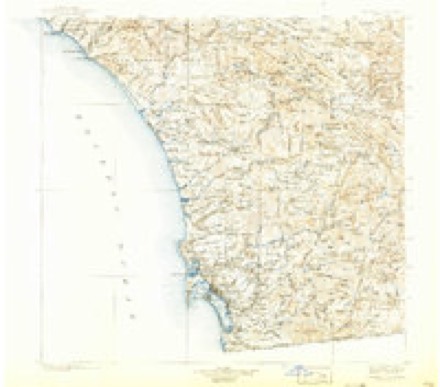
- 1903 USGS Ramona quadrangle1:125000, 6 printings
- 1904 USGS Southern California Sheet No. 2 quadrangle1:250000, 5 printings
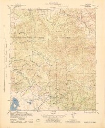
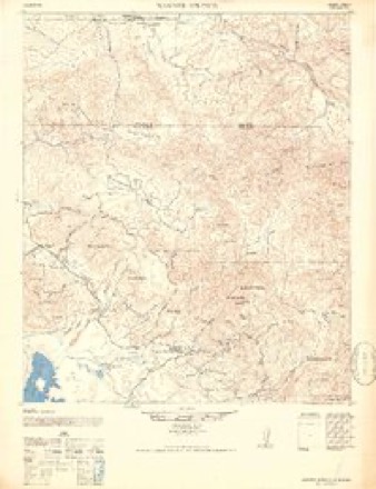
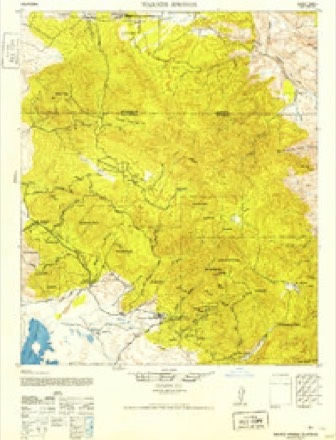
- 1939 USGS Warner Springs quadrangle1:62500
- 1943 USGS Warner Springs quadrangle1:62500
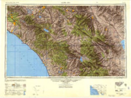
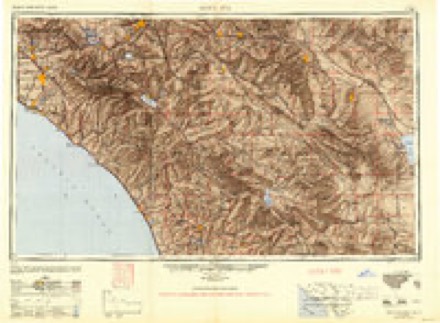
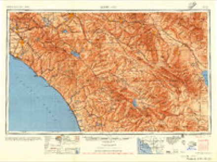
- 1947 USGS Santa Ana quadrangle1:250000
- 1947 USGS Warner Springs quadrangle1:62500
- 1949 USGS Santa Ana quadrangle1:250000
- 1952 USGS Warner Springs quadrangle1:62500
- 1956 USGS Santa Ana quadrangle1:250000
- 1959 USGS Santa Ana quadrangle1:250000, 3 printings
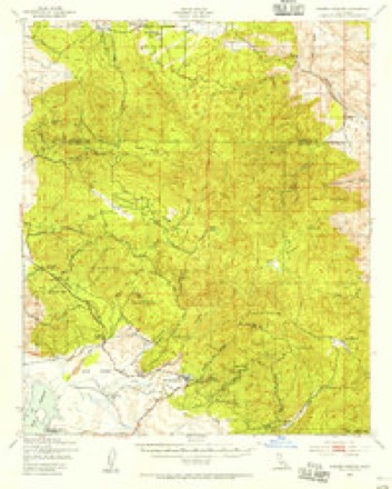
- 1960 USGS Hot Springs Mountain quadrangle1:24000
- 1960 USGS Hot Springs Mtn. quadrangle1:24000, 5 printings
- 1960 USGS Santa Ana quadrangle1:250000, 2 printings
- 1960 USGS Warner Springs quadrangle1:62500, 2 printings
- 1965 USGS Santa Ana quadrangle1:250000
- 1982 USGS Borrego Valley quadrangle1:100000, 2 printings
- 1997 USGS Hot Springs Mountain quadrangle1:24000
Fires near this place
74 since 1992Regional context, not property-specific evidence. The federal wildfire occurrence database lists 74 fires within 5 miles of San Ysidro between 1992 and 2020, burning about 15,384 acres in total. 21 started naturally. 1 was recorded as arson. Distance is straight-line from the map coordinates, so a fire counted here may appear on a neighbouring settlement's page as well.
| Reported cause | Fires |
|---|---|
| Missing data/not specified/undetermined | 24 |
| Natural | 21 |
| Equipment and vehicle use | 19 |
| Debris and open burning | 3 |
| Recreation and ceremony | 3 |
| Smoking | 1 |
| Fireworks | 1 |
| Misuse of fire by a minor | 1 |
| Arson/incendiarism | 1 |
The most recent of them, most recent first, with the day each was reported and the service that recorded it.
| Date | Cause | Size | Reported by | Name on the report |
|---|---|---|---|---|
| 9 September 2006 | Equipment and vehicle use | 2.0 acres | San Diego Unit | YAQUI |
| 5 September 1994 | Natural | under an acre | San Diego Unit | RANCHITA |
| 30 September 2010 | Missing data/not specified/undetermined | 4.0 acres | San Diego Unit | HOT SPRINGS COMPLEX |
| 29 September 1996 | Missing data/not specified/undetermined | under an acre | San Diego Unit | HOLE |
| 25 September 2011 | Missing data/not specified/undetermined | 1.0 acres | San Diego Unit | MONTEZUMA VALLEY RD MP- 5 |
| 14 September 2020 | Missing data/not specified/undetermined | under an acre | San Diego Unit | WARNER SPRINGS SCHOOL HEN |
| 14 September 2002 | Missing data/not specified/undetermined | 10 acres | San Diego Unit | COYOTE |
| 10 September 2000 | Natural | 1.0 acres | California Desert District | HOTSPRINGS |
Settlements close enough to share some of these fires:
Mines and quarries near this place
10 of 25 shownRegional context, not property-specific evidence. The federal mineral resources record lists 25 workings within 5 miles of San Ysidro: 10 occurrences, 6 prospects, 4 producers, 4 past producers. 4 still produce. What was taken out: Gold, Tungsten, Stone, Marble, Dimension. Distance is straight-line from the map coordinates, so a quarry counted here may appear on a neighbouring settlement's page as well.
| Where | Site | Commodity | Status | Recorded |
|---|---|---|---|---|
| Unnamed | Stone, Crushed/Broken | Occurrence | ||
| Unnamed Prospect | Phosphorus-Phosphates | Occurrence | ||
| Warners Hot Springs | Geothermal | Producer | ||
| Verruga Deposit | Stone, Marble, Dimension | Producer | Metamorphic | |
| Verruga Deposit | Stone, Marble, Dimension | Past Producer | ||
| Sentenac Deposit | Stone, Gold | Occurrence | ||
| Los Coyotes Prospect | Tungsten | Occurrence | Scheelite | |
| Los Coyotes Prospect | Tungsten | Prospect | ||
| Payoff Mine | Tungsten | Past Producer | Scheelite | |
| Payoff Mine | Tungsten | Past Producer |
Storms near this place
12 since 2000Regional context, not property-specific evidence. The National Weather Service names San Ysidro in 12 storm reports between 2000 and 2024: 6 flood, 3 flash flood, 1 wildfire, 1 debris flow. The reports record 3 deaths and 13 injuries. Each account below is quoted exactly as the forecast office filed it, from the NOAA Storm Events Database, and each date opens the federal record of that event.
| When | Event | Place named | Harm | What the report says |
|---|---|---|---|---|
| January 2021 | Flash Flood | San Ysidro | 1 killed, 8 hurt | San Diego fire department and rescue and U.S. Border Patrol report 8 people trapped in a flooding storm drain between Otay Mesa and San Ysidro. 7 people were helped to safety with one fatality. |
| February 2024 | Flood | San Ysidro | 1 killed | A 61 year old man drowned in the Tijuana River Channel on February 6 while attempting to cross the international border, following heavy rain in San Diego. San Diego Fire-Rescue swift water crews pulled the body from the river and despite attempted lifesaving measures, the man was pronounced dead at the scene. |
| February 2003 | Flood | San Ysidro | 1 killed | no account filed |
| December 2008 | Flash Flood | San Ysidro | 3 hurt, $250,000 | Significant flooding in the Tijuana River Valley resulted in the deaths of a Tijuana man and numerous ranch and farm animals. At least 21 people had to be rescued, including 6 by helicopter. Three men were taken to a hospital and treated for hypothermia. An estimated 70 horses were also rescued. Three horses drowned before they could be rescued and another horse was later euthanized due to a leg injury. Fifteen goats and an unknown number of dogs also died in the flood. One farmer lost $600,000 dollars worth of his crop while another lost $10,000 dollars worth of watermelons. The one human death occurred outside the forecast area in Tijuana, Mexico. The flash flood occurred when both the Tijuana River and a nearby flood control channel became dammed with with sediment, trash, and other debris. |
| March 2000 | Flood | San Ysidro | 2 hurt, $40,000 | no account filed |
| February 2017 | Flood | San Ysidro | $50,000 | Flooding in the Tijuana River Valley impacted agricultural areas and led to roadway closures. |
| January 2023 | Heavy Rain | San Ysidro | - | Heavy rain fell across much of San Diego County on January 1st. Per reports from NWS Employees and other trained spotters rainfall totals of 1-3 inches fell across much of the county through the evening hours on the 1st. |
| November 2019 | Flood | San Ysidro | - | Swift water rescue occurred on Otay Mesa Road for 2 people trapped in a car due to flooding around 0815 PST on November 20th. |
| November 2019 | Flood | San Ysidro | - | A swift water rescue occurred on Dairy Mart Road for 2 people in a truck at a low water crossing near the Tijuana River. |
| November 2019 | Debris Flow | San Ysidro | - | A large mudslide occurred on I-805 at the intersection of Hwy 905 in Otay Mesa. |
| November 2013 | Flash Flood | San Ysidro | - | The Tijuana River gage reported a rapid rise in flow between 1830 and 2100 PST...increasing by 2.6 feet during that time. |
| July 2002 | Wildfire | San Ysidro | - | no account filed |
Nearest settlements
The eight closest, with where each one stands in the county. Distances are straight-line, computed from the Geographic Names Information System coordinates.
| Map | Place | Distance | Sheets |
|---|---|---|---|
| Eagles Nest | 2.7 miles | 35 | |
| Los Tules | 3.5 miles | 35 | |
| Warner Springs | 4.0 miles | 34 | |
| Ranchita | 4.1 miles | 31 | |
| San Felipe | 4.2 miles | 31 | |
| San Ignacio | 4.3 miles | 35 | |
| Morettis Junction | 8.6 miles | 33 | |
| Borrego Springs | 10.1 miles | 35 |
Provenance
This settlement is recorded in the Geographic Names Information System as feature 1661395. The sheet list is computed by point-in-boundary test against the United States Geological Survey's historical topographic inventory. Both are works of the United States government and carry no copyright under 17 U.S.C. 105.
Wildfire. Short, Karen C. 2022. Spatial wildfire occurrence data for the United States, 1992-2020 [FPA_FOD_20221014]. 6th Edition. Fort Collins, CO: Forest Service Research Data Archive. https://doi.org/10.2737/RDS-2013-0009.6 Collected with United States Government funding and usable without additional permissions or fees.
Mines and quarries. USGS Mineral Resources Data System (MRDS) https://mrdata.usgs.gov/mrds/ A work of the United States government, no copyright under 17 U.S.C. 105.
Storms. NOAA National Centers for Environmental Information, Storm Events Database https://www.ncei.noaa.gov/stormevents/ A work of the United States government, no copyright under 17 U.S.C. 105. Narratives are quoted verbatim from the National Weather Service report and are not edited or summarised.