 Block
BlockSalton City, California
20 topographic sheets cover this place, the earliest surveyed in 1940 and the latest in 2002. It stands in the West Imperial census division. It lies in ZIP code area 92275. It stands on Biloxi Wash. The Survey maps it on the Truckhaven quadrangle. 5,155 people lived here at the 2020 count. It lies 125 feet below sea level.
Research this city
Then and now
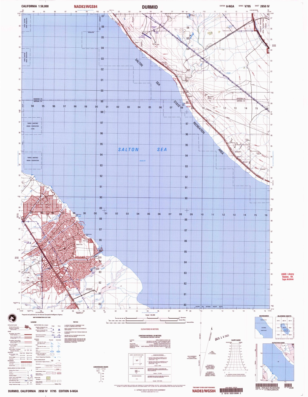
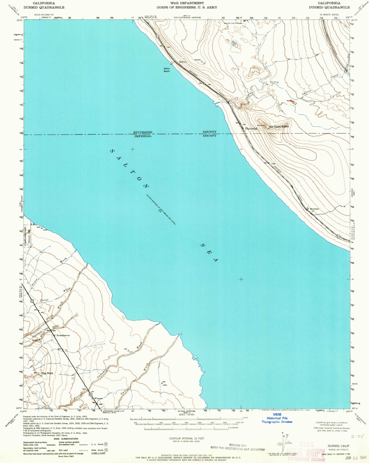
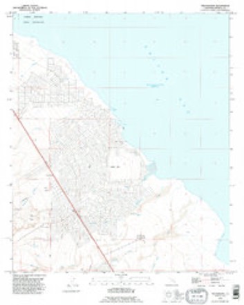
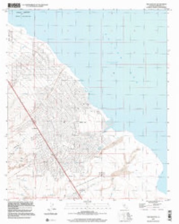
1940 to 2002The same ground, surveyed 62 years apart. Drag the handle to wipe between them. Both sheets are United States Geological Survey originals; neither has been altered.
Population over time
2 figuresSalton City grew from 3,763 to 5,155 between 2010 and 2020. These are the recorded population figures Wikidata holds for this place, reached through the Geographic Names Information System number this page is keyed on rather than by name, so they belong to this place and not to another of the same name. Most are census counts, but not all are: an early figure may be a founding or settlement estimate, and an estimate published within five years of a census is left out. The change column is computed, and is left blank where more than 20 years separate a figure from the one before it, because a gap that long is not a change between two counts.
| Year | People | Change |
|---|---|---|
| 2010 | 3,763 | |
| 2020 | 5,155 | +1,392 (+37%) |
Topographic sheets covering this place
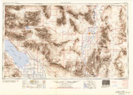
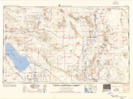
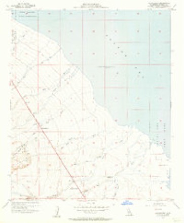
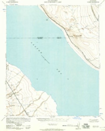
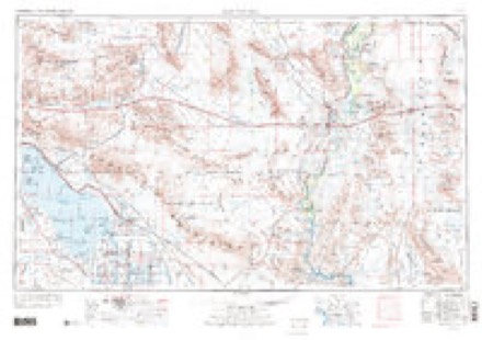
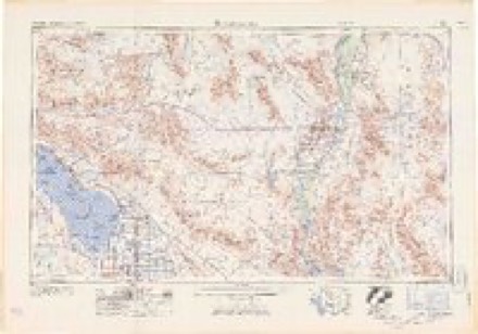
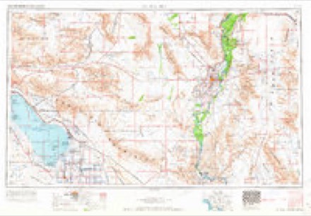
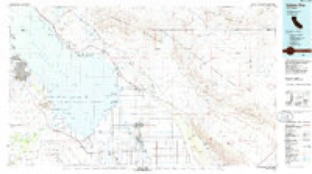
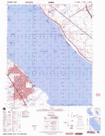
13 surveys from 20 printed sheetsMatched by testing this settlement's coordinate against the published boundary of every sheet in the United States Geological Survey's historical collection. Each opens the scanned sheet at the Survey.
- 1940 USGS Durmid quadrangle1:62500
- 1944 USGS Durmid quadrangle1:62500
- 1954 USGS Salton Sea quadrangle1:250000
- 1955 USGS Salton Sea quadrangle1:250000, 2 printings
- 1956 USGS Truckhaven quadrangle1:24000, 3 printings
- 1957 USGS Durmid quadrangle1:62500
- 1959 USGS Salton Sea quadrangle1:250000, 4 printings
- 1963 USGS Salton Sea quadrangle1:250000
- 1965 USGS Salton Sea quadrangle1:250000
- 1985 USGS Salton Sea quadrangle1:100000, 2 printings
- 1992 USGS Truckhaven quadrangle1:24000
- 1998 USGS Truckhaven quadrangle1:24000
- 2002 USGS Durmid quadrangle1:50000
Fires near this place
2 since 1996Regional context, not property-specific evidence. The federal wildfire occurrence database lists 2 fires within 5 miles of Salton City between 1996 and 2014, burning about 1 acre in total. None started naturally. None was recorded as arson. Distance is straight-line from the map coordinates, so a fire counted here may appear on a neighbouring settlement's page as well.
| Reported cause | Fires |
|---|---|
| Equipment and vehicle use | 1 |
| Missing data/not specified/undetermined | 1 |
The most recent of them, most recent first, with the day each was reported and the service that recorded it.
| Date | Cause | Size | Reported by | Name on the report |
|---|---|---|---|---|
| 30 June 1996 | Equipment and vehicle use | under an acre | San Diego Unit | SOUTH GRADE |
| 20 April 2014 | Missing data/not specified/undetermined | under an acre | California Desert District | TREADWELL |
Settlements close enough to share some of these fires:
Mines and quarries near this place
4 within 5 milesRegional context, not property-specific evidence. The federal mineral resources record lists 4 workings within 5 miles of Salton City: 3 producers, 1 prospect. 3 still produce. What was taken out: Sand and Gravel, Construction. Distance is straight-line from the map coordinates, so a quarry counted here may appear on a neighbouring settlement's page as well.
| Where | Site | Commodity | Status | Recorded |
|---|---|---|---|---|
| Hazard Fish Springs Pit | Sand and Gravel, Construction | Producer | ||
| Salt Paving Co Deposit | Sand and Gravel, Construction | Prospect | ||
| Salton Paving Co. Deposit | Sand and Gravel, Construction | Producer | Sedimentary | |
| Truckhaven Material Pit | Sand and Gravel, Construction | Producer |
Storms near this place
22 since 1998Regional context, not property-specific evidence. The National Weather Service names Salton City in 22 storm reports between 1998 and 2025: 14 flash flood, 5 thunderstorm wind, 2 flood, 1 heavy rain. The reports record 1 injury. Each account below is quoted exactly as the forecast office filed it, from the NOAA Storm Events Database, and each date opens the federal record of that event.
| When | Event | Place named | Harm | What the report says |
|---|---|---|---|---|
| August 2025 | Thunderstorm Wind | Salton City | 1 hurt, $50,000 | A semi truck was blown over along Highway 86, injuring the truck driver. A power pole and power lines were also reported down in the area. |
| August 2025 | Flash Flood | Salton City | $2,500,000 | Significant flash flooding occurred along Highway 86 near Highway 78, leaving numerous motorists stranded on the flooded roadway. According to reports, up to 200 motorists were left stranded along Highway 86, with videos showing floodwaters that appeared to be around 3 to 5 feet deep over the roadway. Videos and images showed vehicles floating on the roadway with several vehicles almost completely submerged by the floodwaters. Multiple motorists were left stranded on top of their vehicles before being rescued. Portions of the roadway were also washed out by the flooding. No injuries or fatalities were reported. |
| October 2015 | Thunderstorm Wind | Salton City | $100,000 | Strong thunderstorms developed just to the west of the Salton Sea during the early morning hours on October 15th, and they moved quickly towards the north-northeast. As the storms raced to the northeast they produced gusty and damaging outflow winds estimated to be at least 60 mph in strength. According to the California Department of Highways, at about 0040PST, gusty outflow winds blew down between 10 and 15 power poles along State Route 86 at the Black Diamond Road. The damaged power poles were located about 6 miles northwest of the town of Salton City. |
| August 2025 | Thunderstorm Wind | Salton City | $20,000 | Multiple power poles and power lines were reported down along Highway 78, going across the lanes of the roadway. No injuries were reported. |
| August 2024 | Flash Flood | Salton City | $10,000 | Video showing flash flooding in multiple spots along Split Mountain Rd, with most significant flooding at the Fish Creek Wash crossing. The road was washed out at this point and floodwaters were reportedly as deep as 4-6 feet based on sediment flow and depth of the wash. No injuries were reported. |
| August 2023 | Flash Flood | Salton City | $10,000 | Flash flooding was reported in Salton City along Seaview Drive, which has a low water crossing through a wash. According to local media reports, a mother and her two children had to be rescued after their vehicle became stuck in a wash. No injuries were reported. |
| September 2023 | Thunderstorm Wind | Salton City | $7,000 | A semi-truck rolled over on Highway 86 due to strong winds and blocked both lanes of traffic. Winds were estimated at 60 mph. No injuries were reported, but medical was called to the scene. |
| July 2012 | Flash Flood | Salton City | $5,000 | Scattered thunderstorms developed across northwest Imperial county during the early afternoon hours on July 13th. The storms persisted in the area for several hours and produced locally heavy rainfall in the area to the west of Salton Sea. At 427 pm, the California Highway Patrol reported the closure of State Route 78, west of the junction with highway 86, due to flooding. In addition, there were reports of several vehicles trapped in running washes as well as flooding across other area roadways. |
| September 2022 | Flash Flood | Salton City | $3,000 | Highway 78 east of Ocotillo Wells was closed due to flooding and debris on the road. No injuries were reported. |
| January 2024 | Flood | Salton City | $500 | Box Canyon Road closed between Interstate 10 and the All-American Canal due to flooding causing light mud and debris flow. No damages were reported. |
| June 2025 | Flash Flood | Salton City | - | Video showed Fish Creek Wash experienced flooding, making a low water crossing along Split Mountain Road impassable. Timing estimated from radar. No damages nor injuries were reported. |
| August 2025 | Flash Flood | Salton City | - | A portion of Split Mountain Road at Fish Creek Wash was washed out due to flooding. Time estimated based on radar. |
| January 2024 | Flood | Salton City | - | Flooding reported along State Route 86 in the area of Red Earth Casino. No damages or injuries were reported. |
| August 2023 | Flash Flood | Salton City | - | A social media video showed that a low water crossing along Marina Drive in Salton City was impassable due to flooding. No injuries were reported. |
| August 2022 | Flash Flood | Salton City | - | S22(Borrego-Salton roadway) was closed due to flooding. Timing estimated from radar. No damages or injuries were reported. |
| September 2022 | Flash Flood | Salton City | - | About 6 inches approximately of flowing water was observed across Dolphin Drive in Salton City. No damages or injuries were reported. |
| July 2021 | Flash Flood | Salton City | - | Heavy rain caused flash flooding in Salton City with flood waters collecting in Truckhaven and Coral washes. California Highway Patrol reported flood waters were crossing Nile Drive near Atlantic Boulevard, resulting in the closure of the road. No damages or injuries reported. |
| August 2021 | Flash Flood | Salton City | - | The California Highway Patrol reported water and debris across SR 86 at Willow Wash, making the road impassable. No injuries were reported. |
| November 2019 | Flash Flood | Salton City | - | A powerful Pacific low pressure system still developing over the desert southwest interacted with significant moisture to produce widespread moderate to heavy rain across the western portion of Imperial County during the afternoon hours on November 28th. Isolated thunderstorms were embedded within the areas of rain, locally enhancing rain totals. The heavy rain resulted in an episode of flash flooding on the western side of the Salton Sea. According to local law enforcement, flash flooding resulted in the closure of highway 86 about 5 miles southeast of the town of Winona. Instead of a flash flood warning, an areal flood advisory was in effect at the time of the flooding. There were no reports of accidents due to the flash flooding. |
| September 2013 | Flash Flood | Salton City | - | Thunderstorms developed across far west central portions of Imperial county during the afternoon hours on September 7th, and they affected areas to the west of the Salton Sea. Due to the very moist and unstable nature of the atmosphere, the storms produced very heavy rain, with rain rates in excess of 2 inches per hour at times. The heavy rain led to flash flooding to the west of the Salton Sea, affecting motorists on Highway 86 southeast of Winona. According to local law enforcement, flooding was reported along Highway 86 just 1/2 mile north of the junction with Highway 78. The flooding closed one of the southbound lanes leading to very slow traffic movement. A Flash Flood Warning was issued for west central Imperial county at 1556PST and it remained in effect until 1900PST. No accidents or injuries were reported due to the flash flooding. |
| January 2010 | Heavy Rain | Salton City | - | Two inches of rain was reported during a 3 hour period. |
| September 1998 | Thunderstorm Wind | Salton City | - | Large tree uprooted, power poles downed and awnings blown off of structures in the Salton Sea Beach area. |
Nearest settlements
The eight closest, with where each one stands in the county. Distances are straight-line, computed from the Geographic Names Information System coordinates.
| Map | Place | Distance | Sheets |
|---|---|---|---|
| Truckhaven | 1.1 miles | 20 | |
| Squeaky Springs (historical) | 2.8 miles | 20 | |
| Salton Sea Beach | 6.0 miles | 29 | |
| Coolidge Springs | 8.3 miles | 29 | |
| Desert Shores | 8.5 miles | 29 | |
| Bertram | 10.7 miles | 21 | |
| Bombay Beach | 12.5 miles | 22 | |
| Pope | 13.2 miles | 22 |
Elsewhere
Matched on this settlement's Geographic Names Information System number rather than its name, so it cannot be a different place of the same name in another state.
| Wikipedia article on Salton City | An encyclopaedic summary. Its text is share-alike, so it is linked here rather than copied. |
| Wikidata item Q426341 | The structured record the population and elevation above come from. Public domain (CC0). |
Provenance
This settlement is recorded in the Geographic Names Information System as feature 1853413. The sheet list is computed by point-in-boundary test against the United States Geological Survey's historical topographic inventory. Both are works of the United States government and carry no copyright under 17 U.S.C. 105.
Wildfire. Short, Karen C. 2022. Spatial wildfire occurrence data for the United States, 1992-2020 [FPA_FOD_20221014]. 6th Edition. Fort Collins, CO: Forest Service Research Data Archive. https://doi.org/10.2737/RDS-2013-0009.6 Collected with United States Government funding and usable without additional permissions or fees.
Mines and quarries. USGS Mineral Resources Data System (MRDS) https://mrdata.usgs.gov/mrds/ A work of the United States government, no copyright under 17 U.S.C. 105.
Storms. NOAA National Centers for Environmental Information, Storm Events Database https://www.ncei.noaa.gov/stormevents/ A work of the United States government, no copyright under 17 U.S.C. 105. Narratives are quoted verbatim from the National Weather Service report and are not edited or summarised.