 Block
BlockSeven Oaks, California
36 topographic sheets cover this place, the earliest surveyed in 1901 and the latest in 1996. It stands in the Big Bear census division. It lies in ZIP code area 92305. It lies near Converse Flats. The Survey maps it on the Big Bear Lake quadrangle.
Then and now
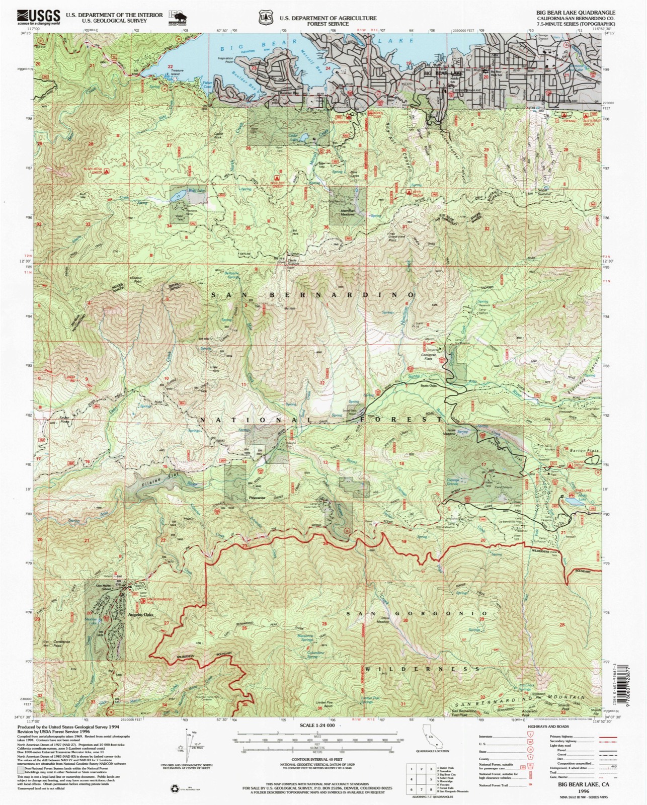
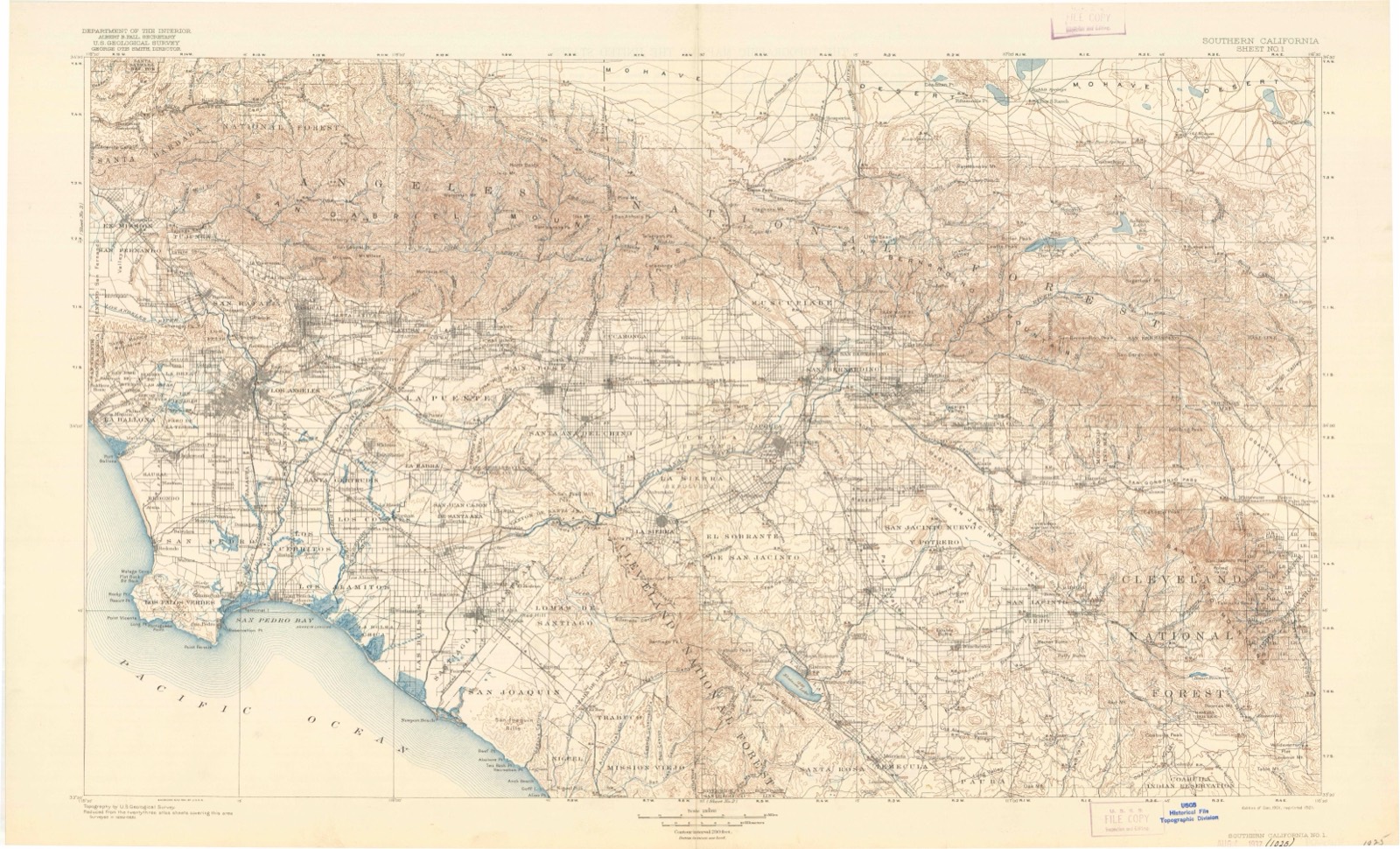
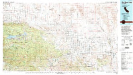
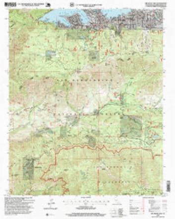
1901 to 1996The same ground, surveyed 95 years apart. Drag the handle to wipe between them. Both sheets are United States Geological Survey originals; neither has been altered.
Compare 1901 against another survey:
Topographic sheets covering this place
13 surveys from 36 printed sheetsMatched by testing this settlement's coordinate against the published boundary of every sheet in the United States Geological Survey's historical collection. Each opens the scanned sheet at the Survey.
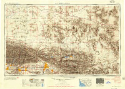
- 1901 USGS Southern California Sheet No. 1 quadrangle1:250000, 6 printings
- 1902 USGS San Gorgonio quadrangle1:125000, 8 printings
- 1904 USGS Southern California Sheet No. 1 quadrangle1:250000, 2 printings
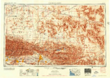
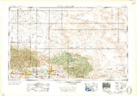
- 1953 USGS San Bernardino quadrangle1:250000, 2 printings
- 1954 USGS San Gorgonio Mountain quadrangle1:62500, 5 printings
- 1956 USGS San Bernardino quadrangle1:250000
- 1957 USGS San Bernardino quadrangle1:250000
- 1958 USGS San Bernardino quadrangle1:250000
- 1959 USGS San Bernardino quadrangle1:250000
- 1966 USGS San Bernardino quadrangle1:250000
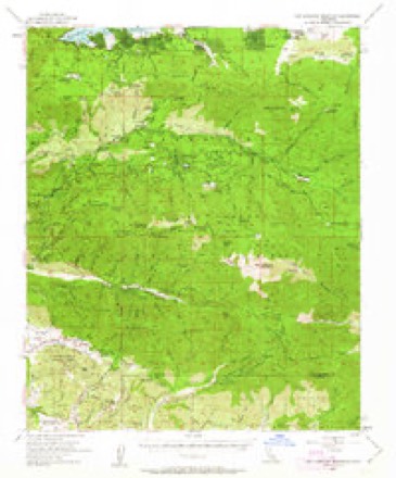
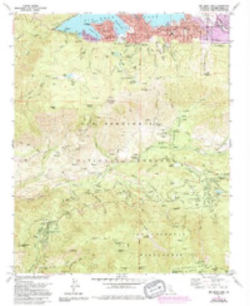
- 1970 USGS Big Bear Lake quadrangle1:24000, 6 printings
- 1982 USGS Big Bear Lake quadrangle1:100000
- 1996 USGS Big Bear Lake quadrangle1:24000

Fires near this place
295 since 1992Regional context, not property-specific evidence. The federal wildfire occurrence database lists 295 fires within 5 miles of Seven Oaks between 1992 and 2020, burning about 51,765 acres in total. 97 started naturally. 8 were recorded as arson. Distance is straight-line from the map coordinates, so a fire counted here may appear on a neighbouring settlement's page as well.
| Reported cause | Fires |
|---|---|
| Missing data/not specified/undetermined | 100 |
| Natural | 97 |
| Recreation and ceremony | 48 |
| Equipment and vehicle use | 13 |
| Arson/incendiarism | 8 |
| Debris and open burning | 7 |
| Misuse of fire by a minor | 7 |
| Smoking | 7 |
| Other causes | 6 |
| Power generation/transmission/distribution | 2 |
The most recent of them, most recent first, with the day each was reported and the service that recorded it.
| Date | Cause | Size | Reported by | Name on the report |
|---|---|---|---|---|
| 7 September 2016 | Missing data/not specified/undetermined | 2.0 acres | San Bernardino National Forest | FLAT |
| 7 September 2013 | Natural | under an acre | San Bernardino National Forest | JENKS |
| 6 September 2013 | Natural | under an acre | San Bernardino National Forest | GRINELL |
| 6 September 2013 | Natural | under an acre | San Bernardino National Forest | SUGARLOAF 2 |
| 6 September 1993 | Misuse of fire by a minor | under an acre | San Bernardino National Forest | not named |
| 5 September 1992 | Missing data/not specified/undetermined | under an acre | San Bernardino National Forest | not named |
| 4 September 2003 | Natural | under an acre | San Bernardino National Forest | SUGARLOAF#2 |
| 30 September 2014 | Missing data/not specified/undetermined | under an acre | San Bernardino National Forest | JUNIPER |
Settlements close enough to share some of these fires:
Mines and quarries near this place
3 within 5 milesRegional context, not property-specific evidence. The federal mineral resources record lists 3 workings within 5 miles of Seven Oaks: 2 prospects, 1 occurrence. None of them still produces. What was taken out: Uranium, Gold. Distance is straight-line from the map coordinates, so a quarry counted here may appear on a neighbouring settlement's page as well.
| Where | Site | Commodity | Status | Recorded |
|---|---|---|---|---|
| Unnamed Prospect | Gold | Prospect | ||
| Rocky Point Claim | Uranium | Occurrence | ||
| Thirsty King Prospect | Uranium | Prospect |
Storms near this place
8 since 2015Regional context, not property-specific evidence. The National Weather Service names Seven Oaks in 8 storm reports between 2015 and 2025: 4 flash flood, 2 heavy rain, 1 debris flow, 1 flood. No death or injury is recorded in these reports. Each account below is quoted exactly as the forecast office filed it, from the NOAA Storm Events Database, and each date opens the federal record of that event.
| When | Event | Place named | Harm | What the report says |
|---|---|---|---|---|
| July 2021 | Flash Flood | Seven Oaks | $10,000 | Significant debris flow occurred 1:30 to 2:00 pm on July 30 on Highway 38 along northern portions of the El Dorado burn scar. CalTrans reports road closure both directions on Highway 38 from Glass Road to Seven Oaks due to rock and mudslides on roadway. Restriction from Forest Falls to Lake Williams Drive. Radar has large thunderstorms over Highway 38 and Upper Santa Ana watershed estimated 2 to 2.5 inches of rain on radar in Frog Creek, Barton Creek and South Fork Santa Ana River.||Most significant flows occurred between PM 24.1 and 25.2, where boulders up to 1 m in diameter (potentially up to 2 m) moved. Net anchors initially held and restrained the initial surge of debris, but the volume eventually overtopped the nets and filled catchment basins. Debris overtopped a catchment basin at VAR EF0094 (west fork of the creek) and flowed onto the highway, resulting in a debris flow 150 feet wide and 5 feet deep.|||Vehicles reported stuck and road is impassable at 3 locations. Highway 38 was closed for 7 hours due to several areas of debris flows. Large rocks, logs, mud and boulders being removed. Some damage reported to road. 4300 cubic yards or 400 truckloads were removed from Highway 38. |
| September 2025 | Heavy Rain | Seven Oaks | - | Mesonet station CVEC1 near Seven Oaks reported 1.17 inches of rain. |
| August 2023 | Flash Flood | Seven Oaks | - | Thirty residents in Seven Oaks were cut off from rescue after the Santa Ana River overflowed and Glass Road was damaged. One person was missing at the time of report, potentially washed into Barton Creek. Seven Oaks Road was closed for Emergency Crews. |
| August 2022 | Flood | Seven Oaks | - | Mud and water crossing Highway 38. Highway remained closed for emergency repairs and drainage debris removal. Enhanced debris flow and runoff from the El Dorado Burn Scar. Video shared via CalTrans 8. |
| July 2022 | Flash Flood | Seven Oaks | - | Debris and rocks across Highway 38 at Hill Ranch Road, where there was also water flowing across the road. Vehicles stuck on roadway, requiring rescue. |
| July 2022 | Flash Flood | Seven Oaks | - | Highway 38 closed between Valley of the Falls to Lake Williams. Multiple cars stuck, requiring rescue west of Jenks Lake. |
| July 2022 | Heavy Rain | Seven Oaks | - | Rainfall of 0.8 inch. Mesonet station CVNC1 Seven Oaks. |
| July 2015 | Debris Flow | Seven Oaks | - | Officials at the Lake Fire and CHP reported several debris flows; one consisting mostly of ash, 4 to 12 inches deep on Highway 38 at the South Fork of the Santa Ana River, as well as one 4 to 5 inches of mud and debris over another portion of the highway. The debris flow near the South Fork was located near one of the fire's highest impact areas, with an estimated 0.33 inches of rain falling on that basin, resulting in the debris flow. |
Nearest settlements
The eight closest, with where each one stands in the county. Distances are straight-line, computed from the Geographic Names Information System coordinates.
| Map | Place | Distance | Sheets |
|---|---|---|---|
| The Pines (historical) | 0.5 miles | 36 | |
| Pinezanita | 2.6 miles | 36 | |
| Big Bear Lake | 4.0 miles | 36 | |
| Boulder Bay | 4.1 miles | 36 | |
| Angelus Oaks | 4.6 miles | 36 | |
| Moonridge | 4.6 miles | 34 | |
| Glen Martin | 4.7 miles | 36 | |
| Minnelusa | 5.6 miles | 35 |
Provenance
This settlement is recorded in the Geographic Names Information System as feature 1661426. The sheet list is computed by point-in-boundary test against the United States Geological Survey's historical topographic inventory. Both are works of the United States government and carry no copyright under 17 U.S.C. 105.
Wildfire. Short, Karen C. 2022. Spatial wildfire occurrence data for the United States, 1992-2020 [FPA_FOD_20221014]. 6th Edition. Fort Collins, CO: Forest Service Research Data Archive. https://doi.org/10.2737/RDS-2013-0009.6 Collected with United States Government funding and usable without additional permissions or fees.
Mines and quarries. USGS Mineral Resources Data System (MRDS) https://mrdata.usgs.gov/mrds/ A work of the United States government, no copyright under 17 U.S.C. 105.
Storms. NOAA National Centers for Environmental Information, Storm Events Database https://www.ncei.noaa.gov/stormevents/ A work of the United States government, no copyright under 17 U.S.C. 105. Narratives are quoted verbatim from the National Weather Service report and are not edited or summarised.