California within the United StatesSan Bernardino County within California
What the record shows
16 places in this county were surveyed for fire insurance: San Bernardino, Colton, Ontario, Redlands, Rialto, Chino, Needles, Highland, Cucamonga, Fontana, Barstow, Upland, Victorville, Bryn Mawr, Loma Linda, Mentone, between 1885 and 1952.
84 fire insurance atlases survive for the county. Topographic coverage is national; fire insurance survey reached only incorporated places with something worth insuring.
10,988 topographic sheet readings cover the county's settlements.
98 properties here are on the National Register of Historic Places: 41 buildings, 35 structures, 20 districts, 1 site and 1 object.
10 of the 98 listings were added during the 1970s.
The Geographic Names Information System records 382 populated places in this county; 381 are covered by at least one topographic sheet.
What happened here
1 accounts
Among them: Indian Depredations. These passages come from the
identified county-history source books. Each inset names its own source
and opens the exact section it comes from.
Early in 1851 a party of Utes from Salt Lake made a raid into the southern country, and stole a number of horses, including 130 which were the property of one of the Lugos, owners of the San Bernardino Rancho. The Indians were pursued by some twenty Californians, and one of this party was killed during a volley of rifle- balls fired by the marauders from an ambuscade on the Mohave.
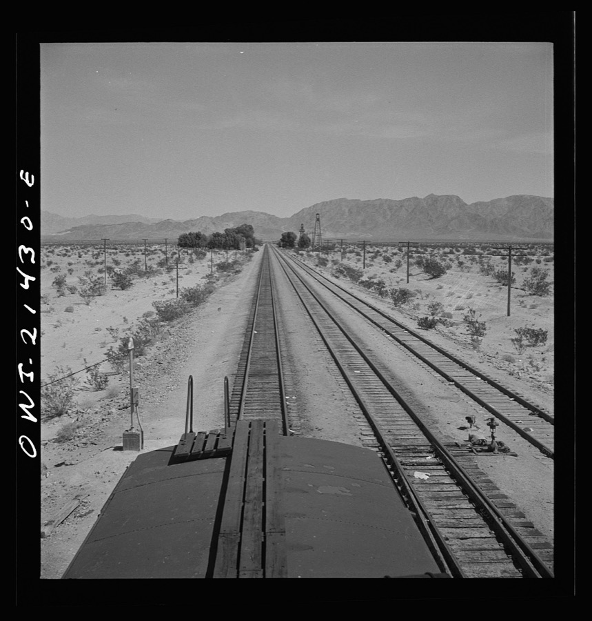
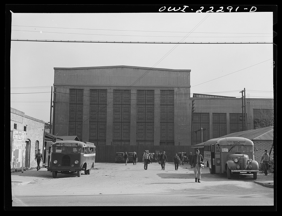
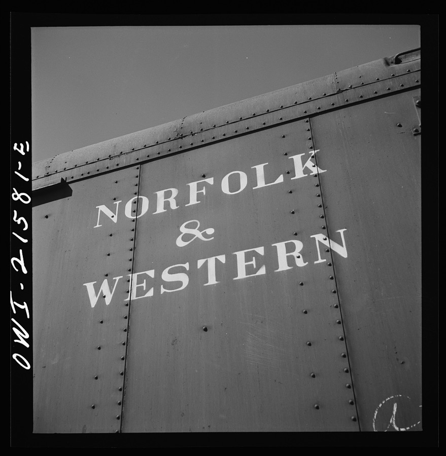
Taken for the Office of War Information and
the Farm Security Administration, who photographed the country between
1935 and 1944. Works of United States government photographers, with no
known restriction on use. Each opens its catalogue record.
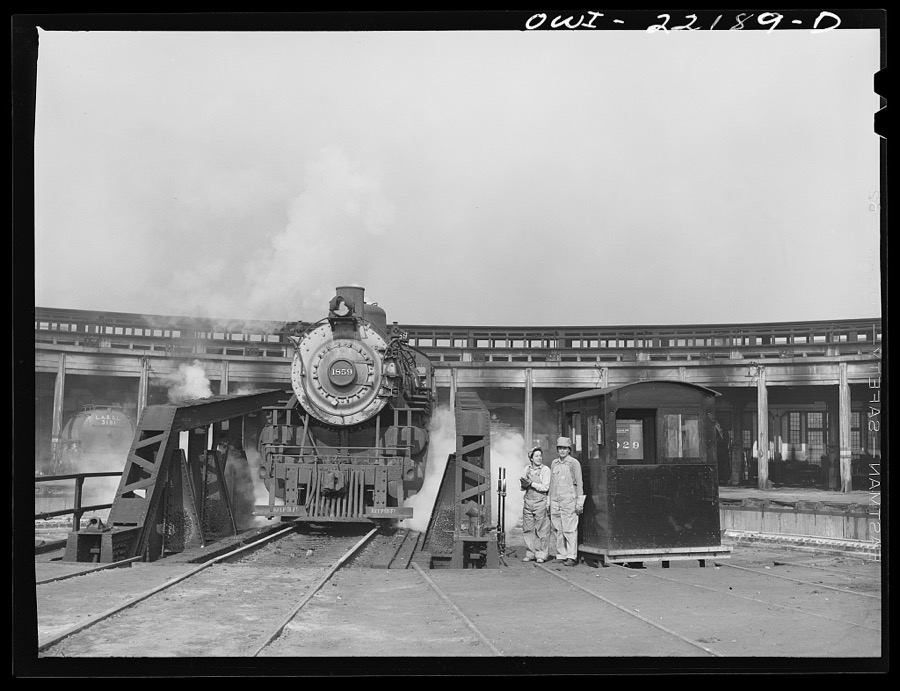
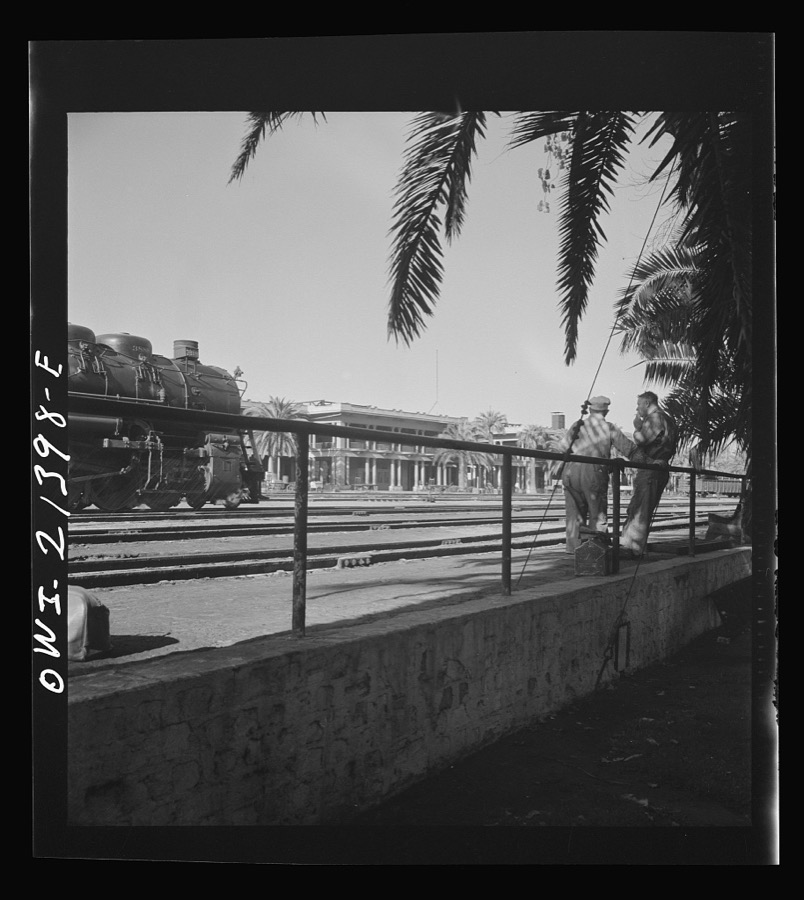
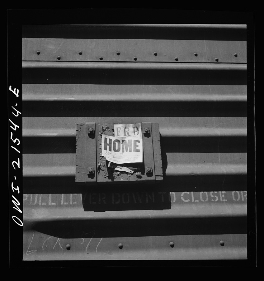
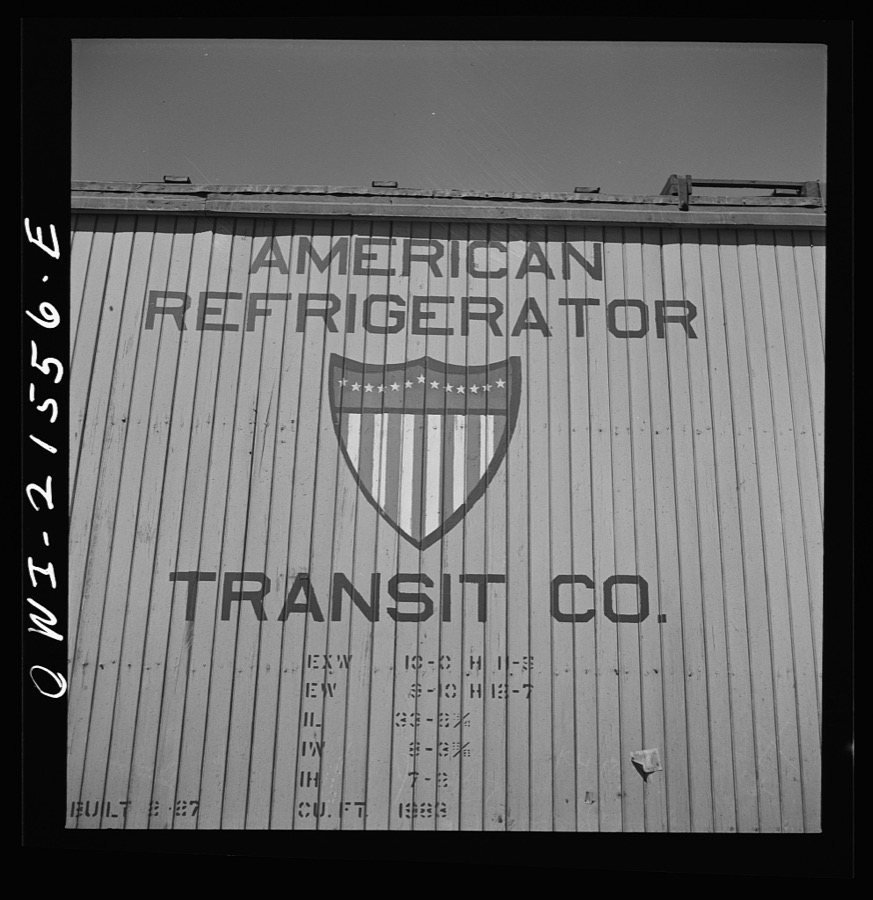
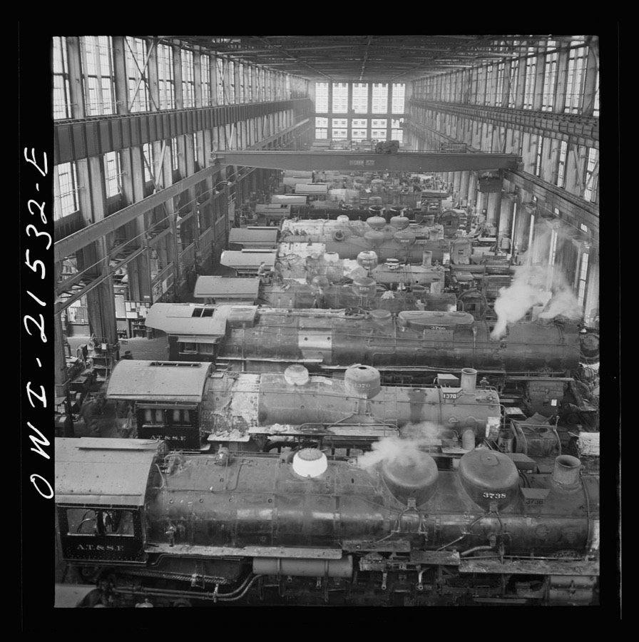
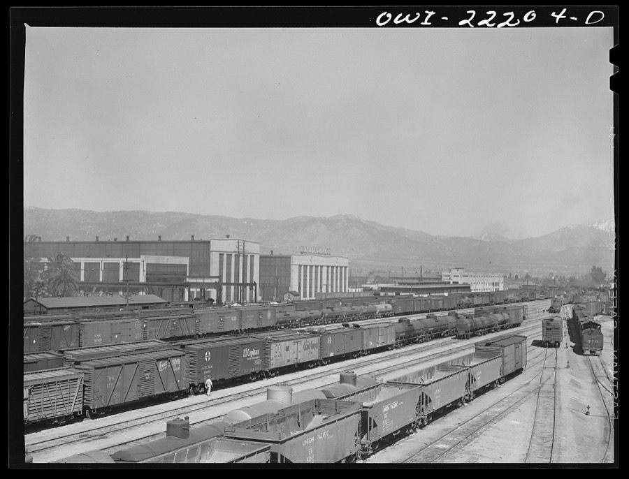
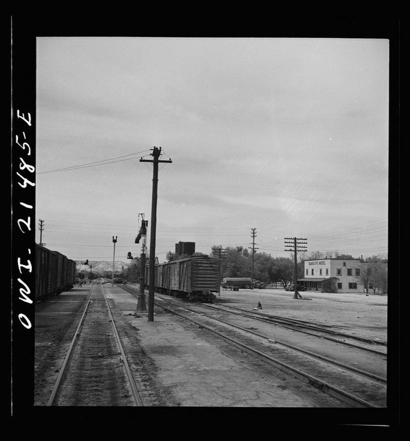
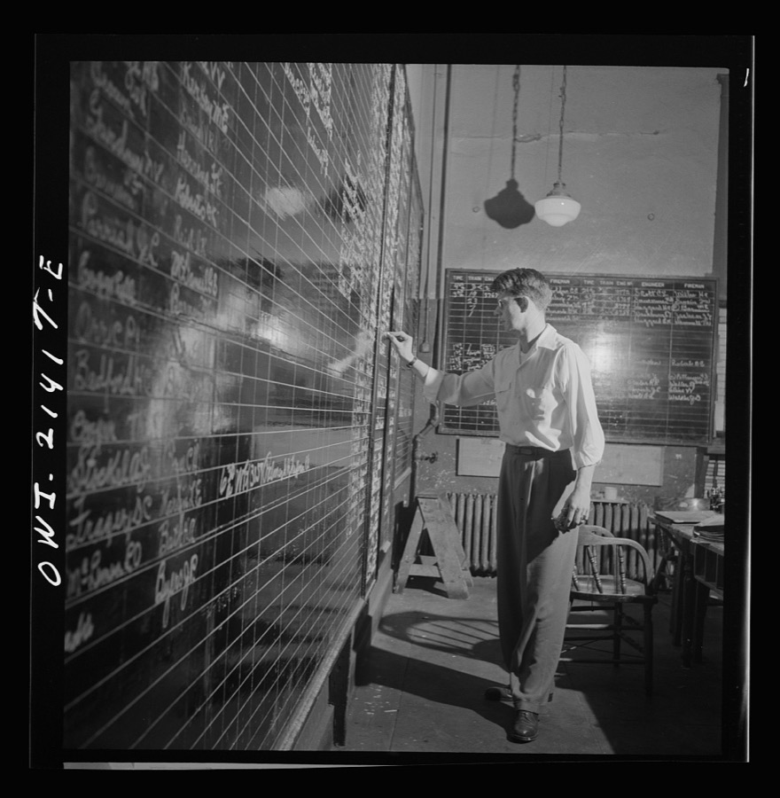
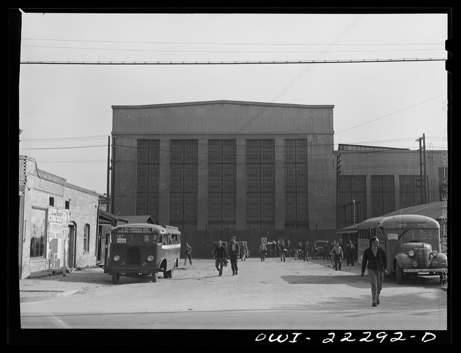
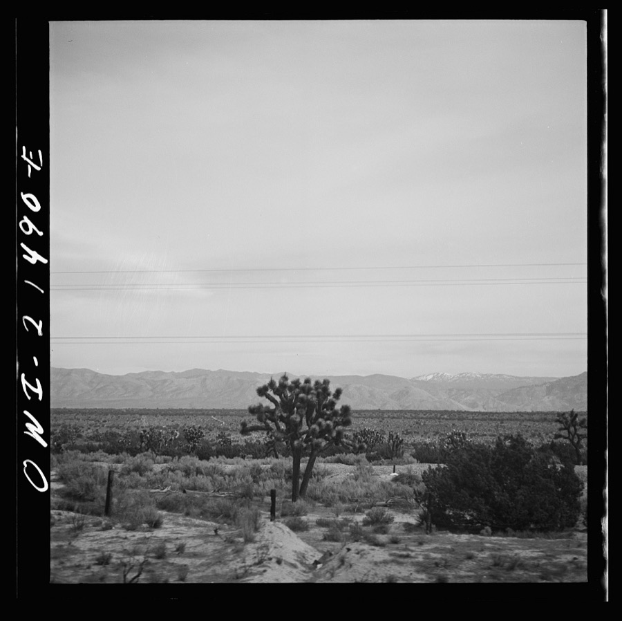
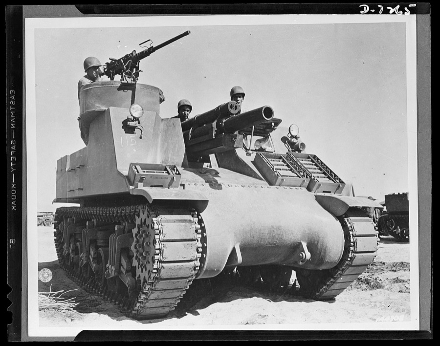
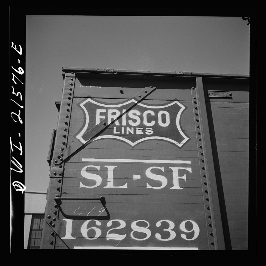
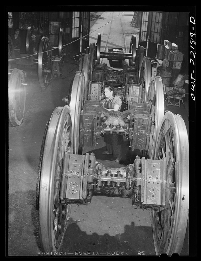
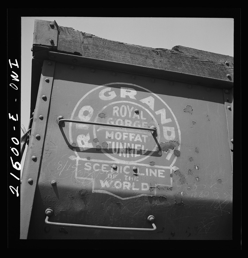
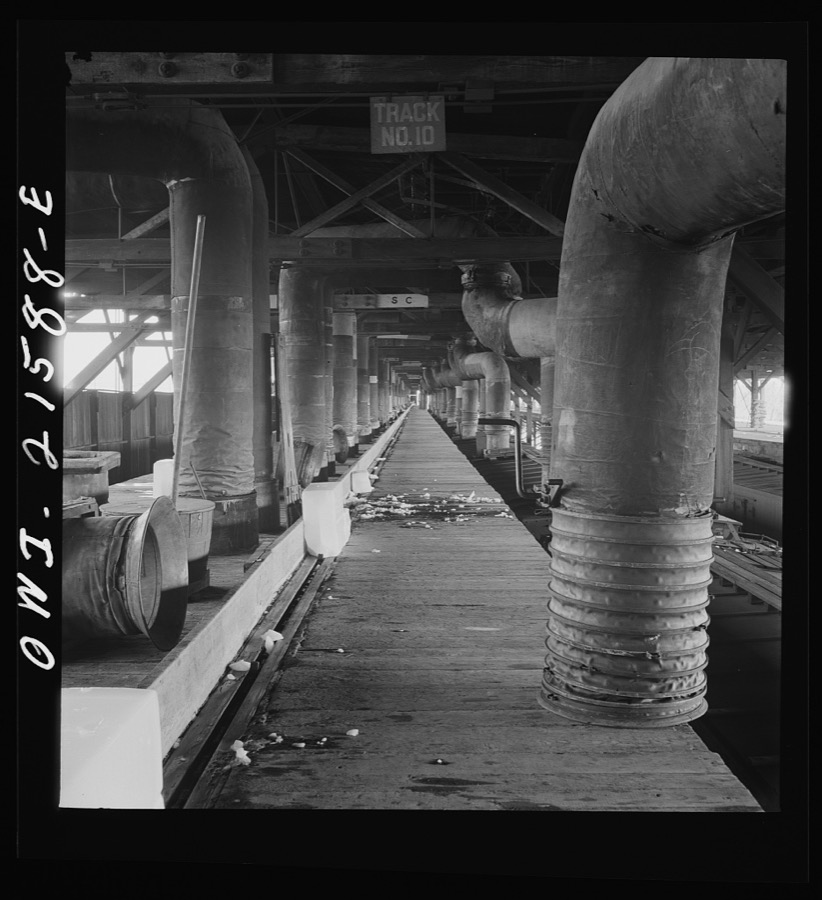
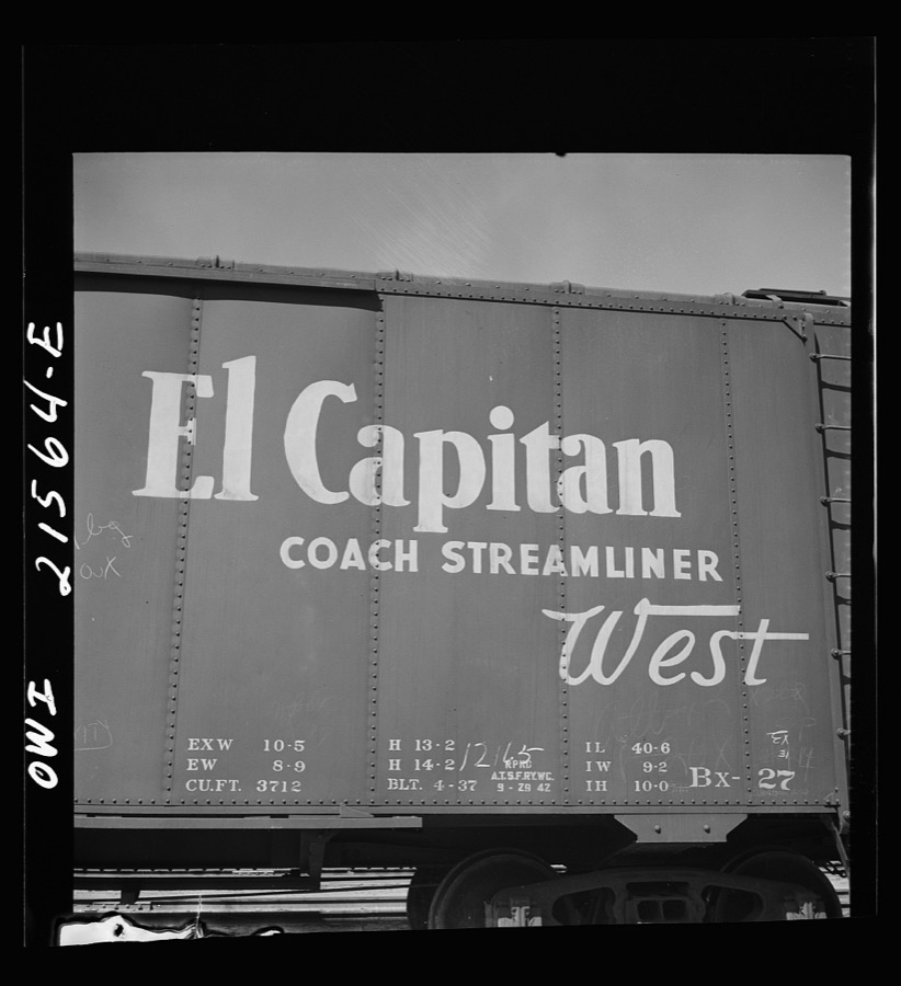
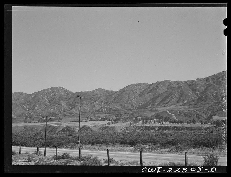
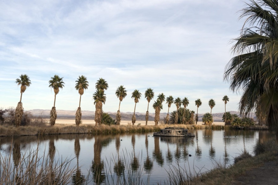
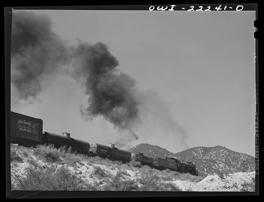
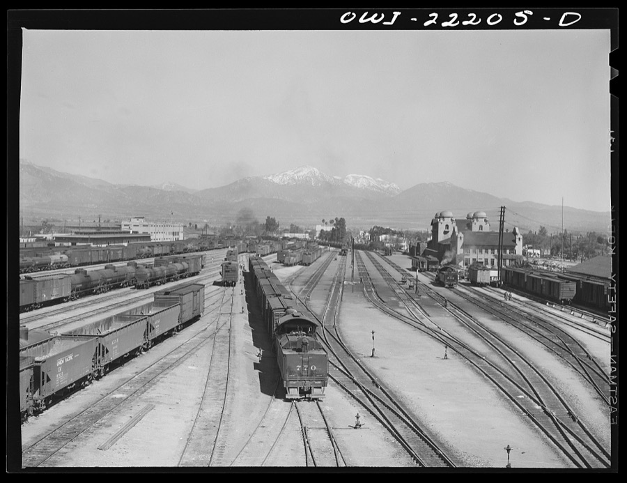
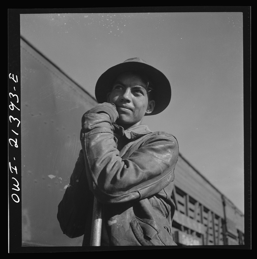
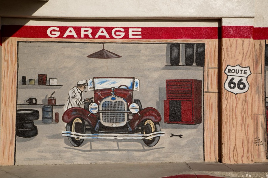
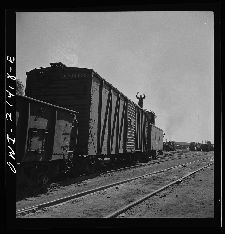
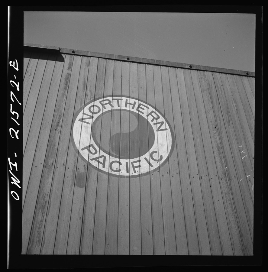
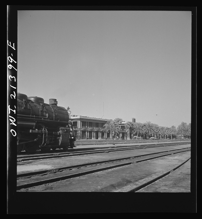
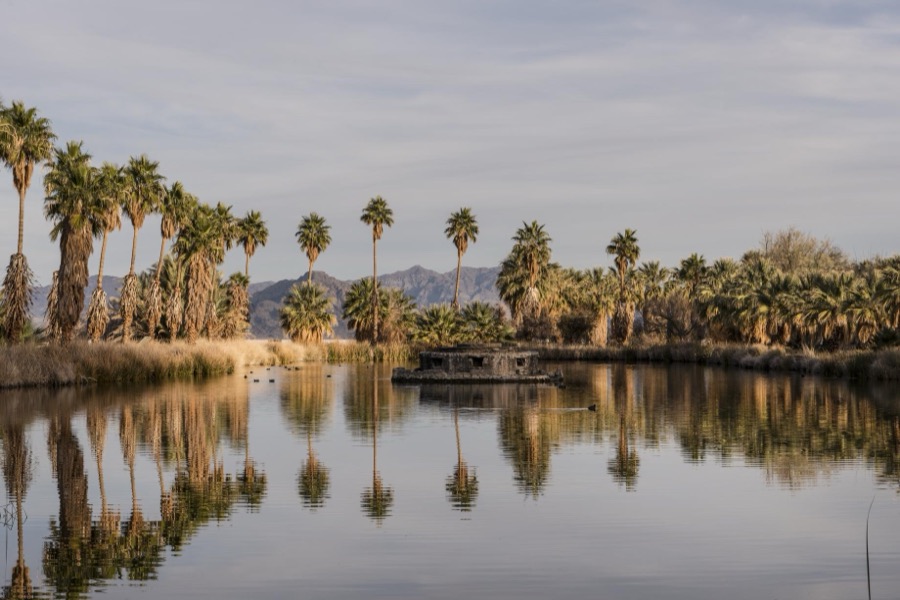
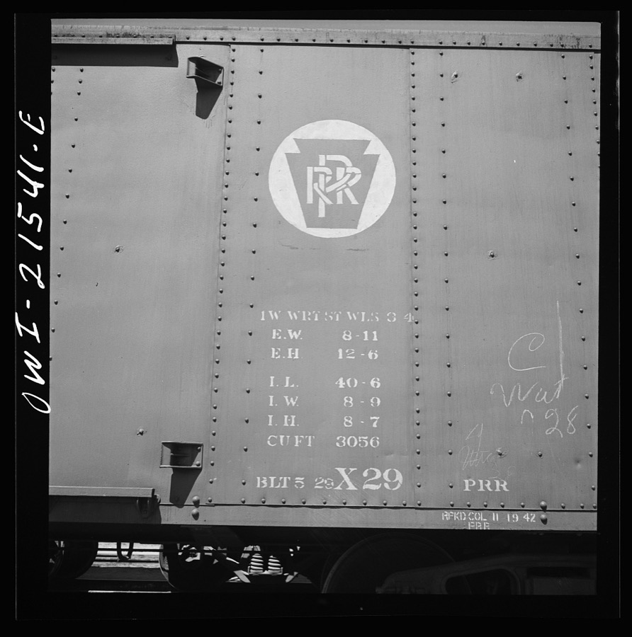
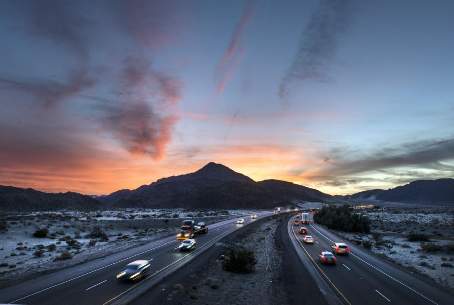
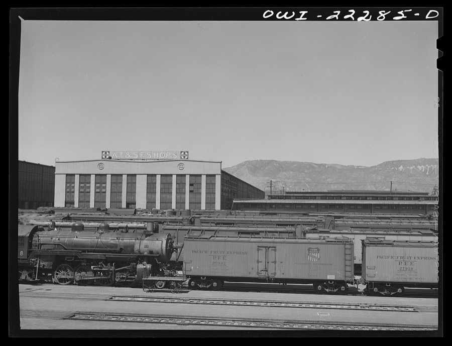
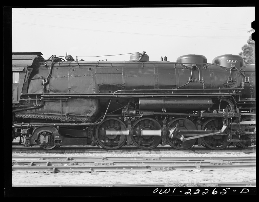
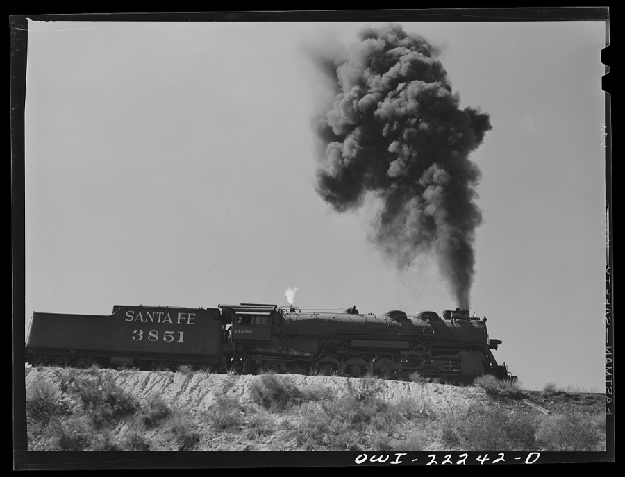
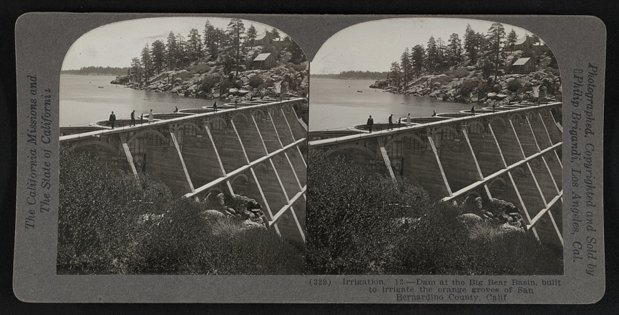
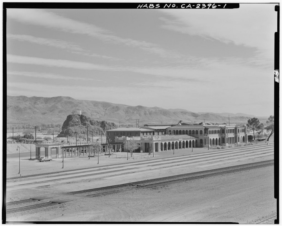
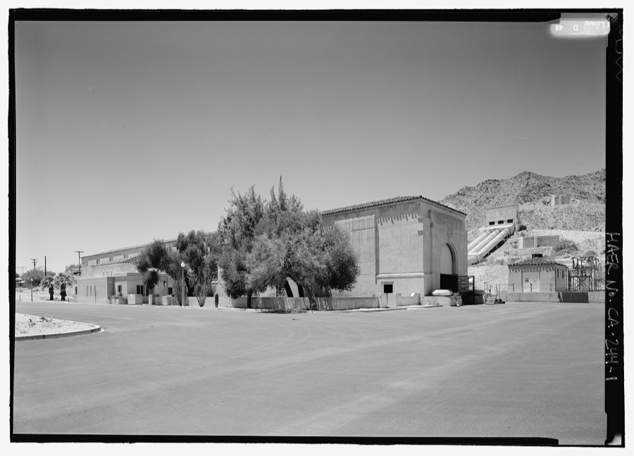
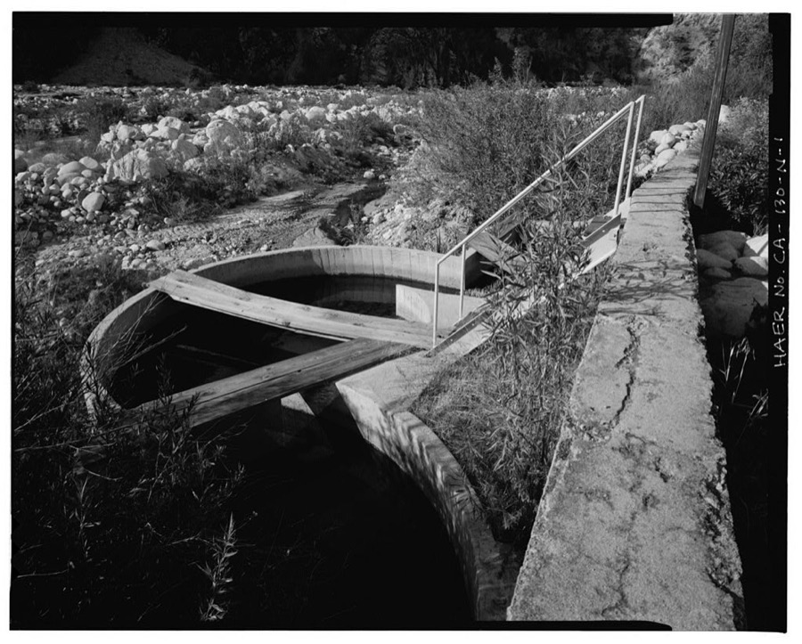
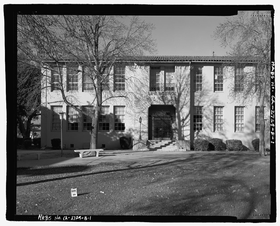
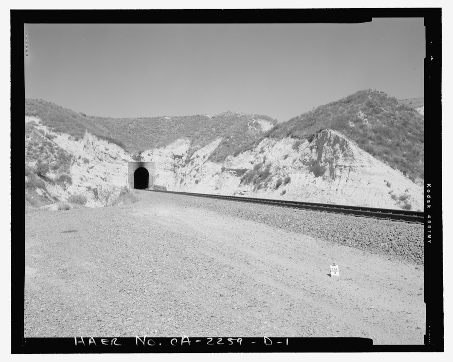
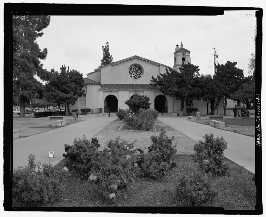
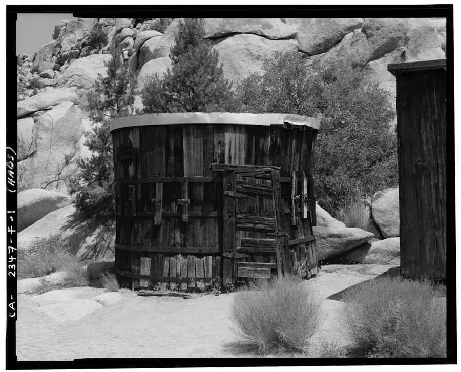
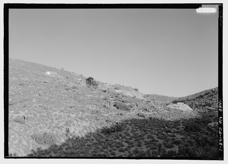
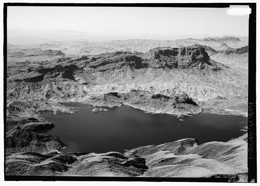
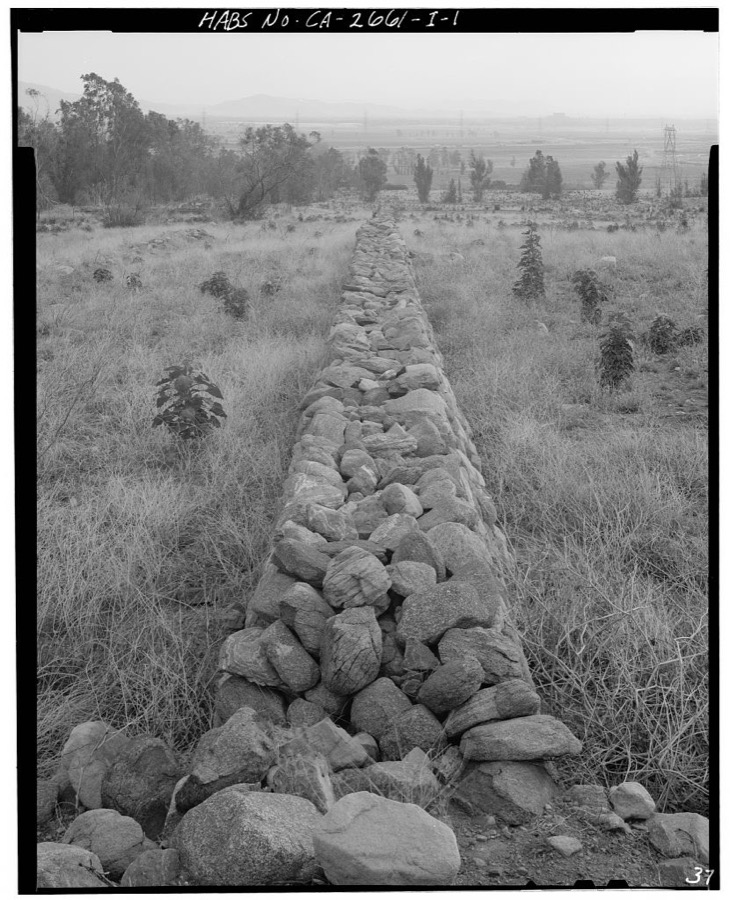
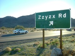
San Bernardino, California. An engine on the transfer table at the Atchison, Topeka and Santa Fe Railroad roundhouse Delano, Jack, 1943. Library of CongressNeedles, California. A general view showing Harvey House and the depot in the Atchison, Topeka and Santa Fe Railroad yards Delano, Jack, 1943. Library of CongressSan Bernardino, California. A sign on a freight car indicating that it should be sent back to its own railroad Delano, Jack, 1943. Library of CongressSan Bernardino, California. Data on a car of the American Refrigerator Transit Company Delano, Jack, 1943. Library of CongressSan Bernardino, California. A general view in the Atchison, Topeka, and Santa Fe Railroad locomotive shops Delano, Jack, 1943. Library of CongressSan Bernardino, California. General view of part of the Atchison, Topeka and Santa Fe Railroad yard Delano, Jack, 1943. Library of CongressVictorville, California. Going through the town on the Atchison, Topeka and Santa Fe Railroad between Barstow and San Bernardino, California Delano, Jack, 1943. Library of CongressNeedles, California. The call board in the Atchison, Topeka, and Santa Fe Railroad crew dispatcher's office Delano, Jack, 1943. Library of CongressSan Bernardino, California. Men coming out of work at the end of a day's shift at the Atchison, Topeka and Santa Fe Railroad Delano, Jack, 1943. Library of CongressVictorville (vicinity), California. Climbing the mountains on the Atchison, Topeka and Santa Fe Railroad between Barstow and San Bernardino, California. Note the Joshua trees Delano, Jack, 1943. Library of CongressThe M-7 is the Army's newest tank destroyer and is really a "killer." Being tested for desert warfare at Iron Mountains, California. It carries both a 105mm Howitzer and a 50 caliber gun. Lieutenant M. Hutchison of Enterprise, Alabama is at the extreme right. Corporal L. Roberts from Graham, Texas is at post behind the Howitzer. Corporal Downing, whose home is Dekalb, Missouri, is in the turret United States. Office of War Information, 1940. Library of CongressSan Bernardino, California. A symbol on a freight car of the Saint Louis and San Francisco Railway (Frisco Lines) Delano, Jack, 1943. Library of CongressSan Bernardino, California. Carmen Honesto, cleaning the driver wheels to go on an Atchison, Topeka and Santa Fe Railroad passenger engine which operates between Los Angeles and Kansas City Delano, Jack, 1943. Library of CongressSan Bernardino, California. A sign on a car of the Denver and Rio Grande Western Railroad Delano, Jack, 1943. Library of CongressSan Bernardino, California. Cars being precooled at the ice plant. Air at a temperature of twenty degrees Fahrenheit is blown through the cars for twenty minutes in one direction, then in the other. Shippers specify the number of hours precooling required for their product Delano, Jack, 1943. Library of CongressSan Bernardino, California. A freight car of the Atchison, Topeka and Santa Fe Railroad Delano, Jack, 1943. Library of CongressSan Bernardino (vicinity), California. Vineyards on the "benches" at the foothills of the mountains along the Atchison, Topeka and Santa Fe Railroad Delano, Jack, 1943. Library of CongressSan Bernardino, California. An emblem on a Chicago and Great Western Railroad freight car Delano, Jack, 1943. Library of CongressTall palms surrounding an artificial pond called "Lake Tuendae" at the Desert Studies Center at the tiny settlement of Zzyzx, near Baker and adjacent to the Mojave National Preserve in southeast California Highsmith, Carol M, 2012. Library of CongressSan Bernardino, California. Missouri Pacific Railroad freight car Delano, Jack, 1943. Library of CongressCajon, California. Atchison, Topeka, and Santa Fe Railroad train going up the steep grade from San Bernardino to Summit Delano, Jack, 1943. Library of CongressSan Bernardino, California. General view of part of the Atchison, Topeka and Santa Fe Railroad yard Delano, Jack, 1943. Library of CongressNeedles, California. Young Indian worker employed on a section gang working on the tracks in the Atchison, Topeka and Santa Fe Railroad yards Delano, Jack, 1943. Library of CongressGarage, Route 66 mural in Needles, California Highsmith, Carol M, 2012. Library of CongressBarstow, California. Brakeman, Charles M. Dawes, being wakened to go to work by the caller at the reading room in the Atchison, Topeka, and Santa Fe Railroad yard Delano, Jack, 1943. Library of CongressNeedles, California. A brakeman giving the highball as the train is about to leave the Atchison, Topeka, and Santa Fe Railroad yard Delano, Jack, 1943. Library of CongressSan Bernardino, California. An emblem on the freight car of the Northern Pacific Railroad Delano, Jack, 1943. Library of CongressNeedles, California. A general view showing Harvey House and the depot in the Atchison, Topeka and Santa Fe Railroad yards Delano, Jack, 1943. Library of CongressCadez, California. Leaving on the Atchison, Topeka, and Santa Fe Railroad between Needles and Barstow, California Delano, Jack, 1943. Library of CongressSan Bernardino, California. Men coming out of work at the end of a day's shift at the Atchison, Topeka and Santa Fe Railroad Delano, Jack, 1943. Library of CongressSan Bernardino, California. A sign on a car of the Norfolk and Western Railroad Delano, Jack, 1943. Library of CongressTall palms surrounding an artificial pond called "Lake Tuendae" at the Desert Studies Center at the tiny settlement of Zzyzx, near Baker and adjacent to the Mojave National Preserve in southeast California Highsmith, Carol M, 2012. Library of CongressSan Bernardino, California. A Pennsylvania Railroad freight car, built in June 1929, showing the exterior width, the exterior height, the interior length, the interior width, the interior height, and cubic foot volume Delano, Jack, 1943. Library of CongressSunset over the Soda Mountains and the Barstow Freeway (Interstate Highway 15) east of Baker, California Highsmith, Carol M, 2012. Library of CongressSan Bernardino, California. Part of the yards of the Atchison, Topeka and Santa Fe Railroad Delano, Jack, 1943. Library of CongressSan Bernardino, California. A completely overhauled engine being run on the slip track at the Atchison, Topeka, and Santa Fe Railroad shops. This is done to break the engine in. Note that due to the greased track, the engine is standing still while the wheels are spinning Delano, Jack, 1943. Library of CongressCajon, California. Atchison, Topeka, and Santa Fe Railroad train going up the steep grade from San Bernardino to Summit Delano, Jack, 1943. Library of CongressIrrigation. 12.--Dam at the Big Bear Basin, built to irrigate the orange groves of San Bernardino, Calif Brigandi, Philip, 1924. Library of CongressCasa Del Desierto, 685 North First Avenue, Barstow, San Bernardino County, CA Photographer not recorded. Library of CongressIron Mountain Pump Plant, South of Danby Lake, north of Routes 62 & 177 junction, Rice, San Bernardino County, CA Photographer not recorded. Library of CongressSanta Ana River Hydroelectric System, Sandbox, SAR-1 Bypass, Redlands, San Bernardino County, CA Photographer not recorded. Library of CongressSan Bernardino Valley College, Life Science Building, 701 South Mount Vernon Avenue, San Bernardino, San Bernardino County, CA Photographer not recorded. Library of CongressBurlington Northern Santa Fe Railroad, Cajon Subdivision, Tunnel No. 1, Between Cajon Summit and Keenbrook, Devore, San Bernardino County, CA Photographer not recorded. Library of CongressSan Bernardino Valley College, Auditorium, 701 South Mount Vernon Avenue, San Bernardino, San Bernardino County, CA Photographer not recorded. Library of CongressDesert Queen Ranch, Tack House, Twentynine Palms, San Bernardino County, CA Photographer not recorded. Library of CongressLost Horse Gold Mill, Twentynine Palms, San Bernardino County, CA Photographer not recorded. Library of CongressCopper Basin Reservoir & Dam, 2.5 miles west of Gene Pump Plant, Parker Dam, San Bernardino County, CA Photographer not recorded. Library of CongressSainsevain Property, Fieldstone Wall, 14804 Summit Avenue, Fontana, San Bernardino County, CA Photographer not recorded. Library of Congress
Places on the National Register
98
Every property in this county listed on the
National Register of Historic Places, with the year it was listed and the
federal nomination document.
Selected from the Digital Public Library
of America's 191 image records catalogued for this county. Every
one shown here carries a public-domain status or a licence that permits
reuse on a site that carries advertising; non-commercial, share-alike
and restricted images are excluded. The selection is spread across the
county's towns (at most eight per town), so no single institution's
bulk upload crowds out the rest. Each opens the holding library's
record, and
the complete set at the
Digital Public Library of America is one click away.
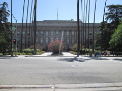
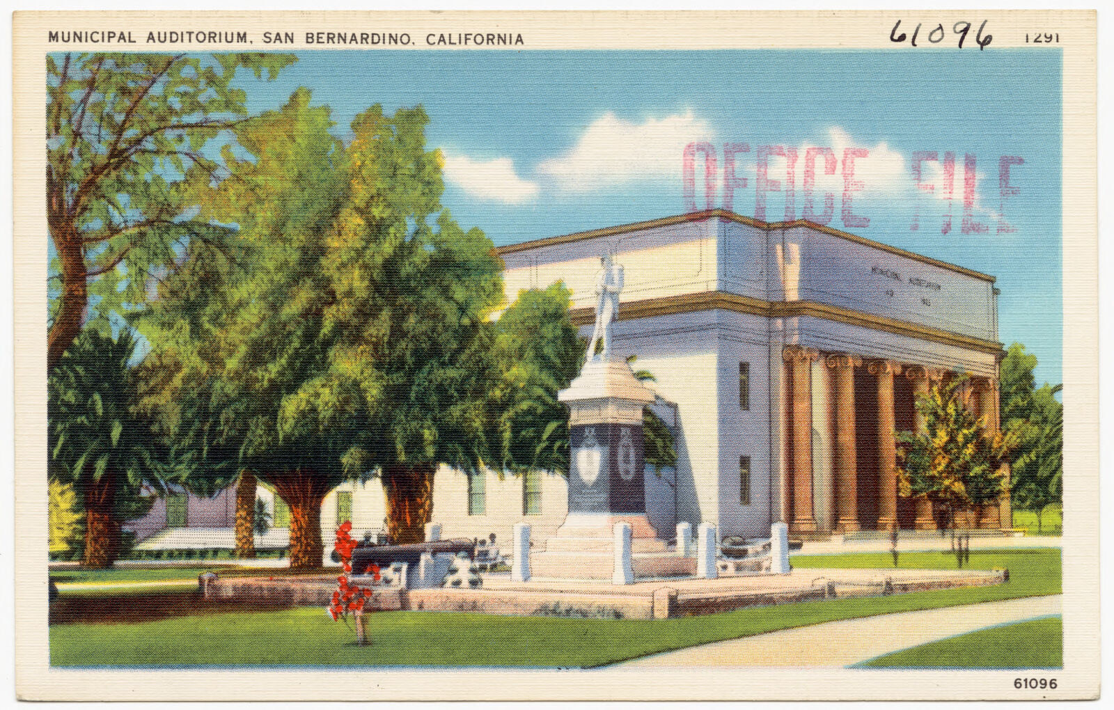
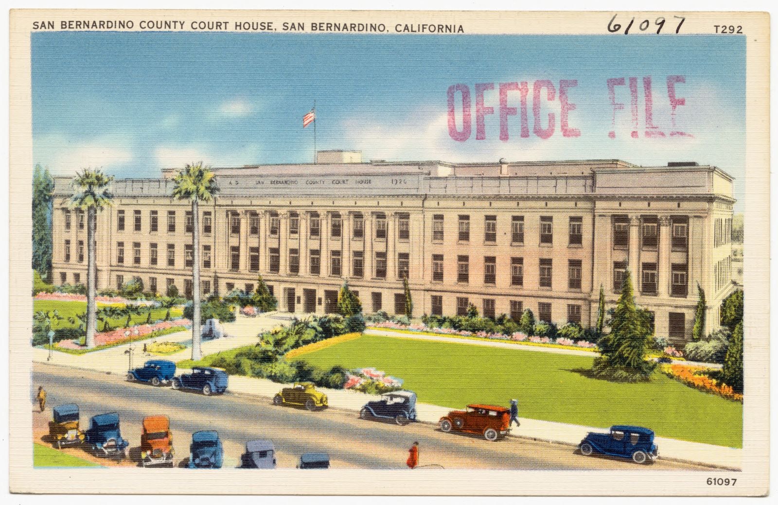
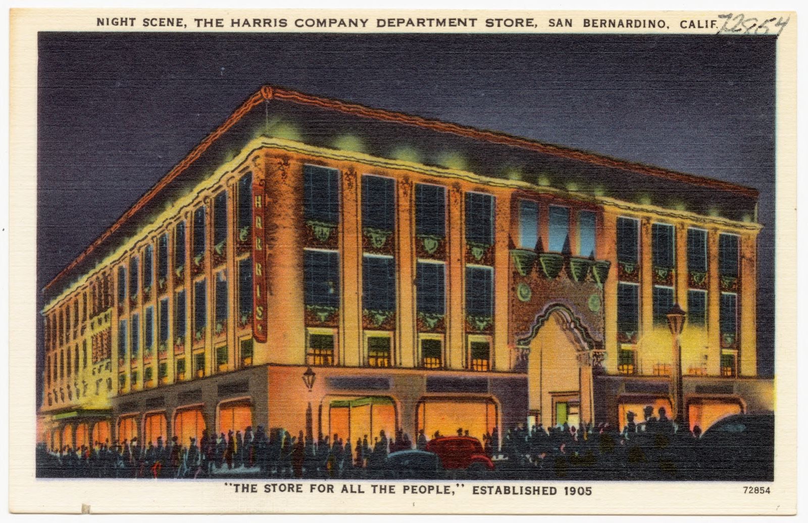
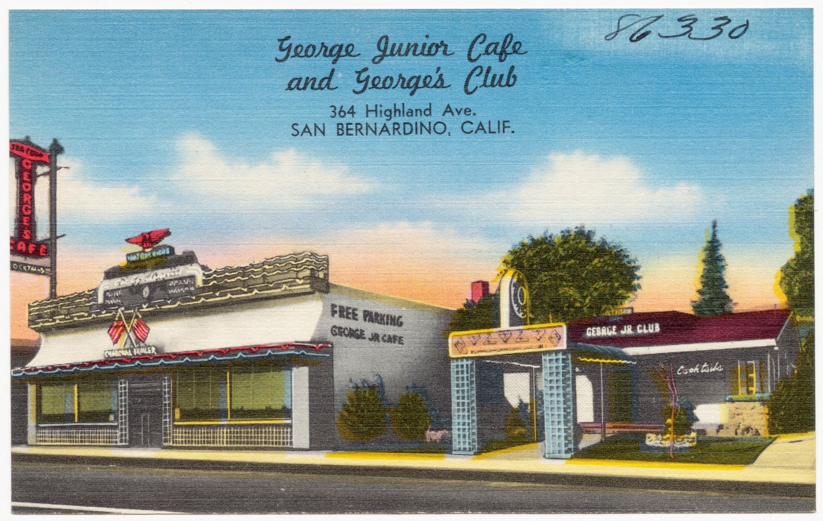
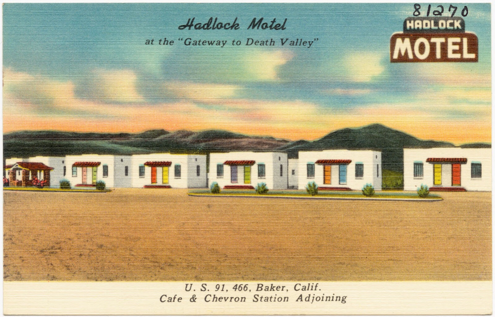
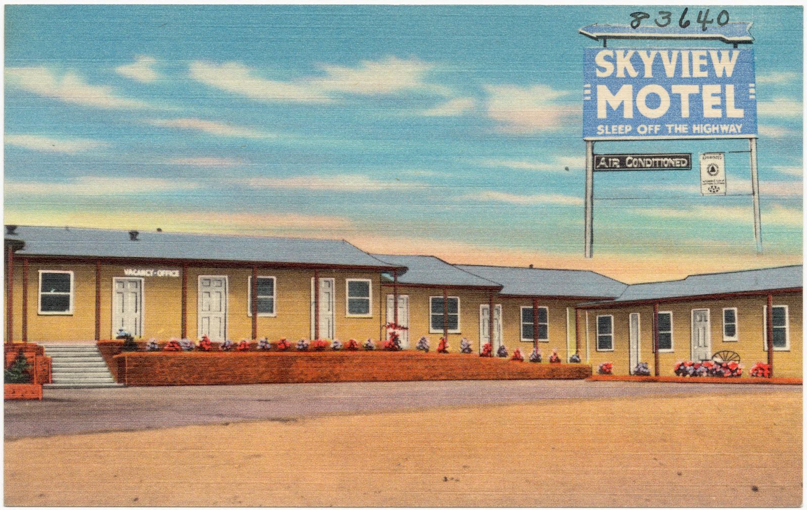
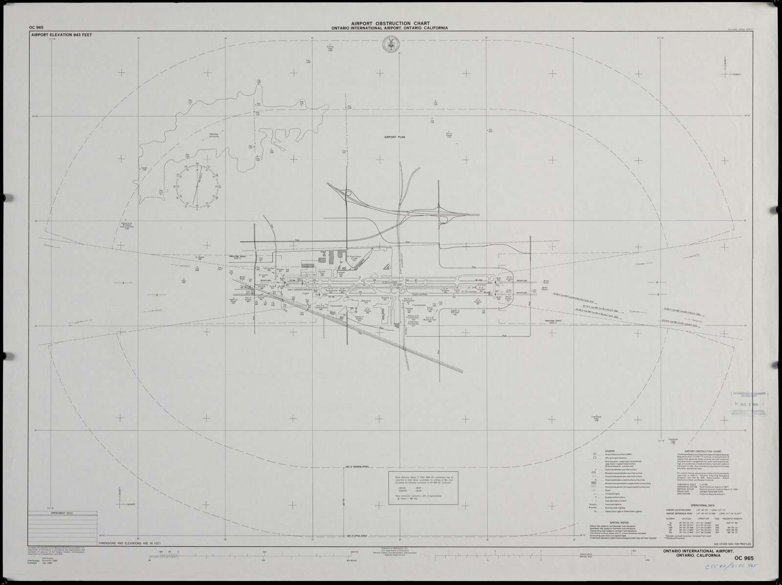
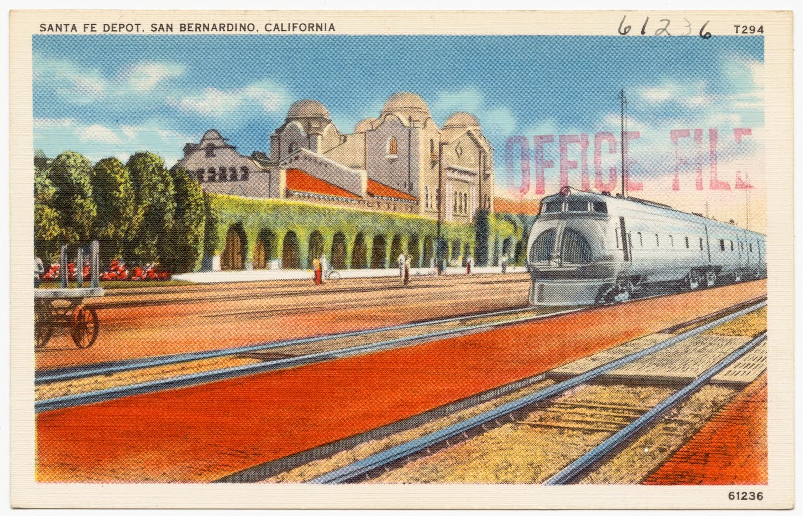
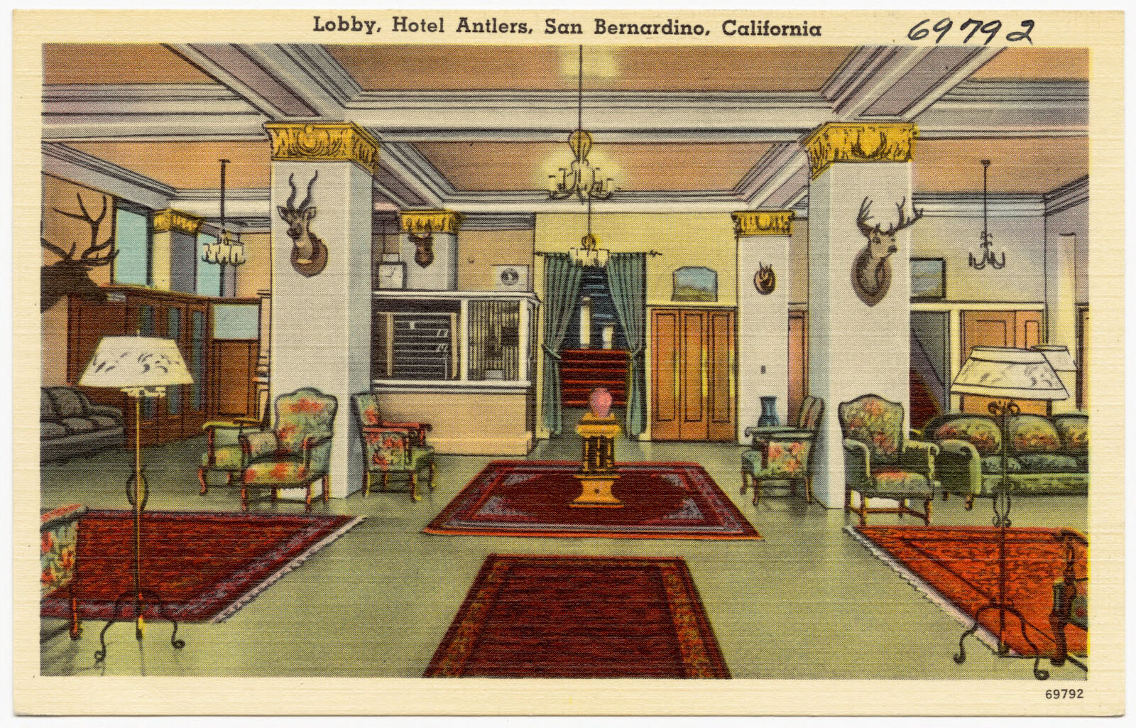
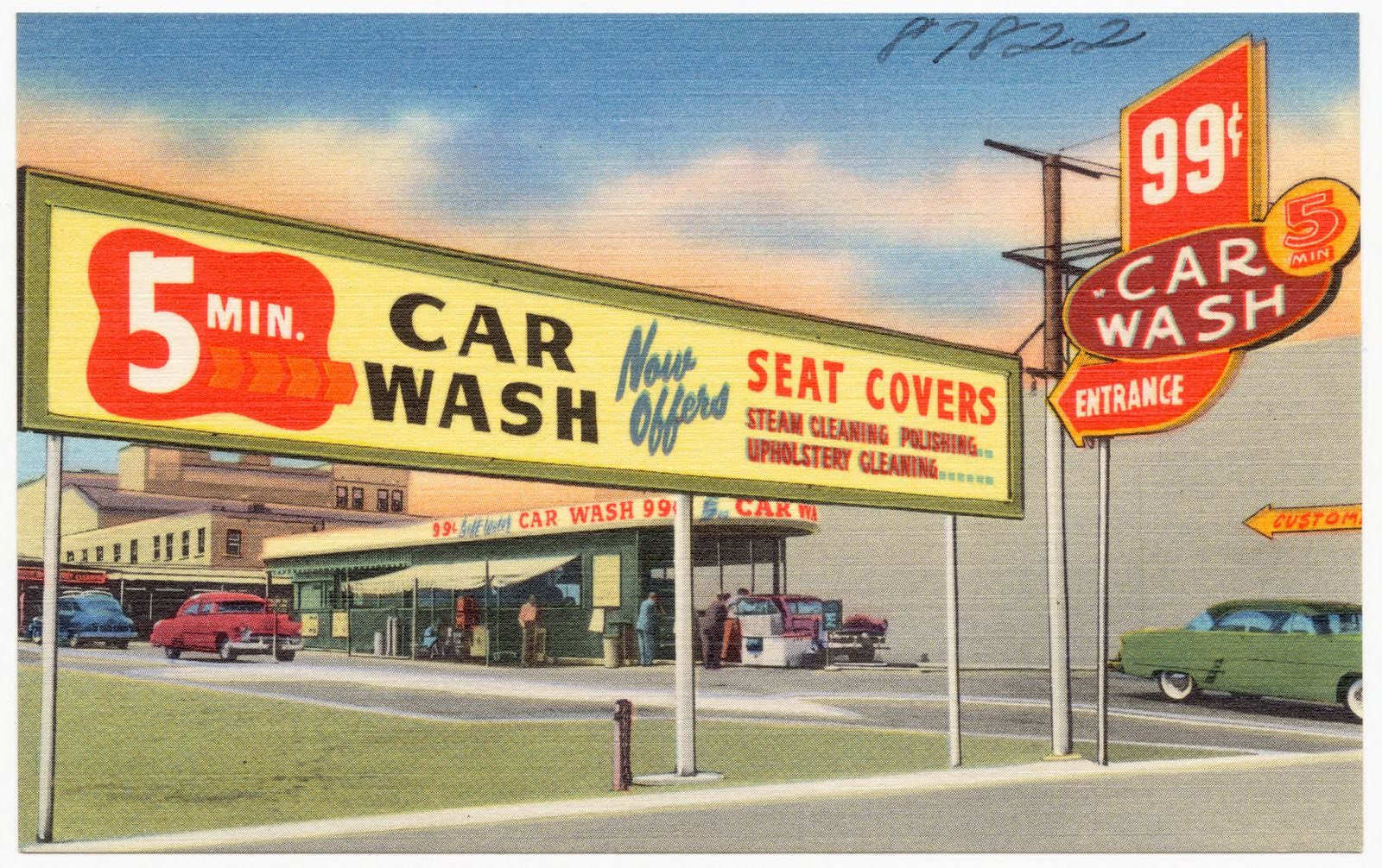
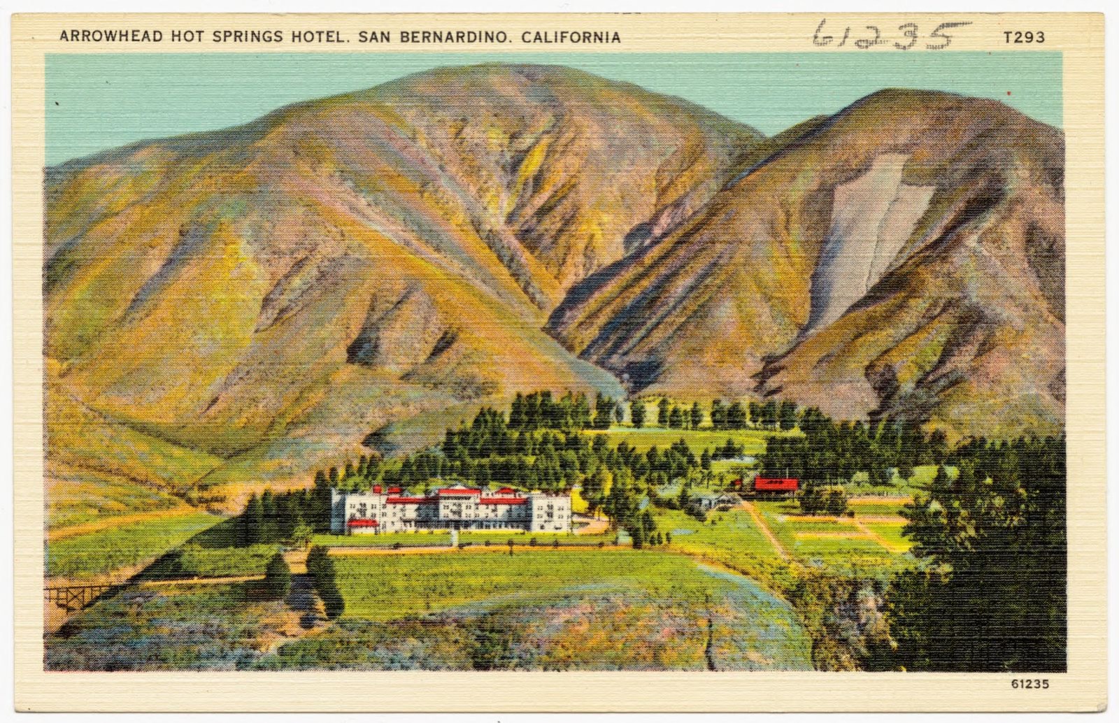
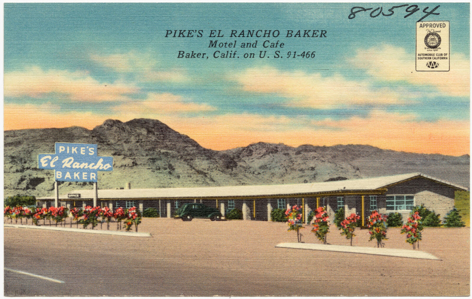
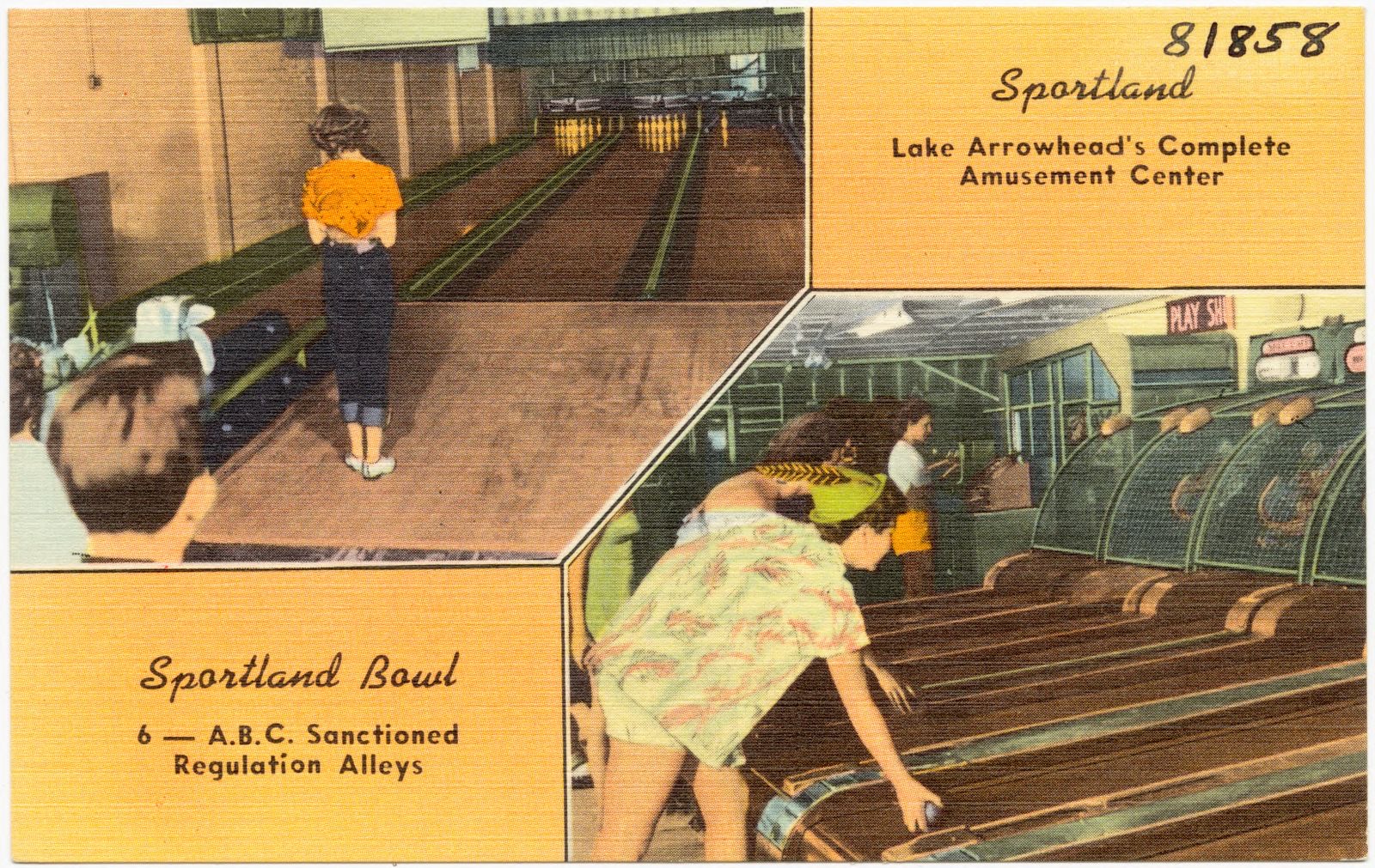
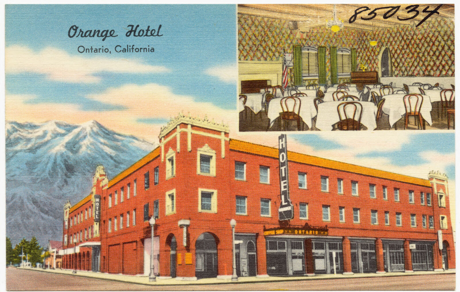
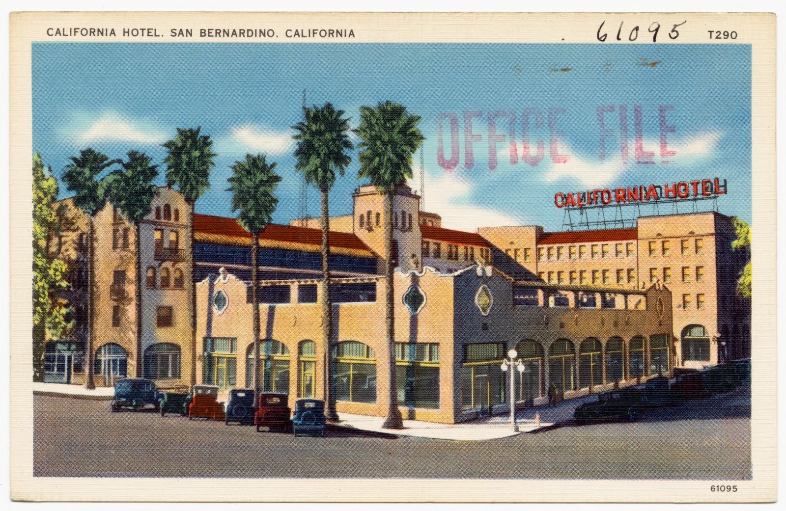
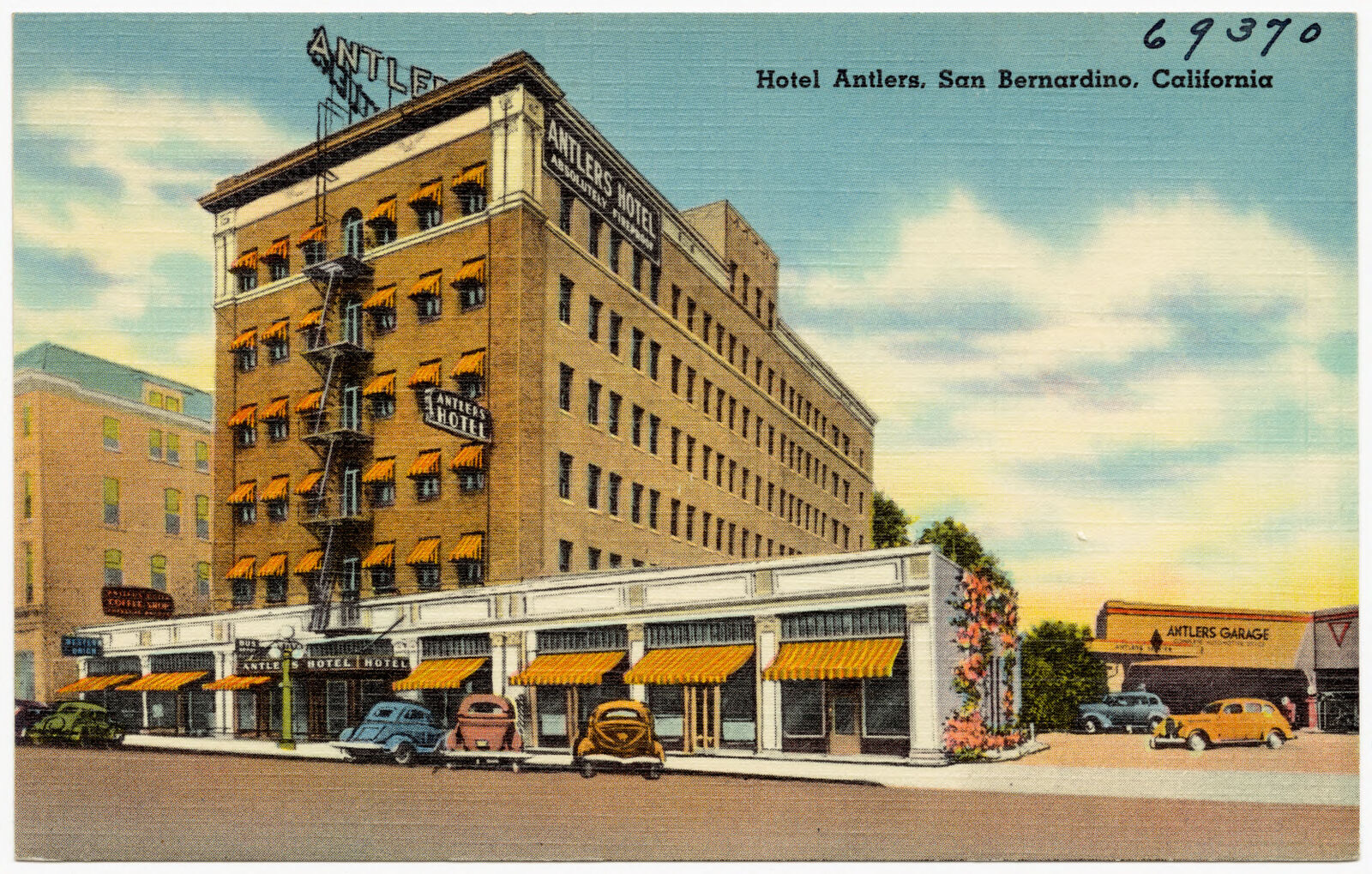
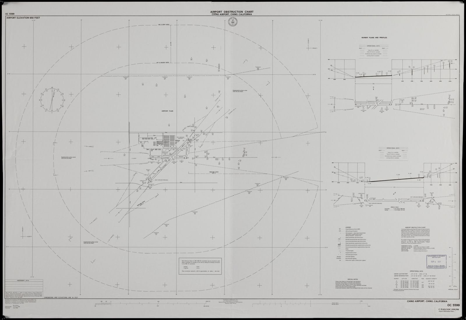
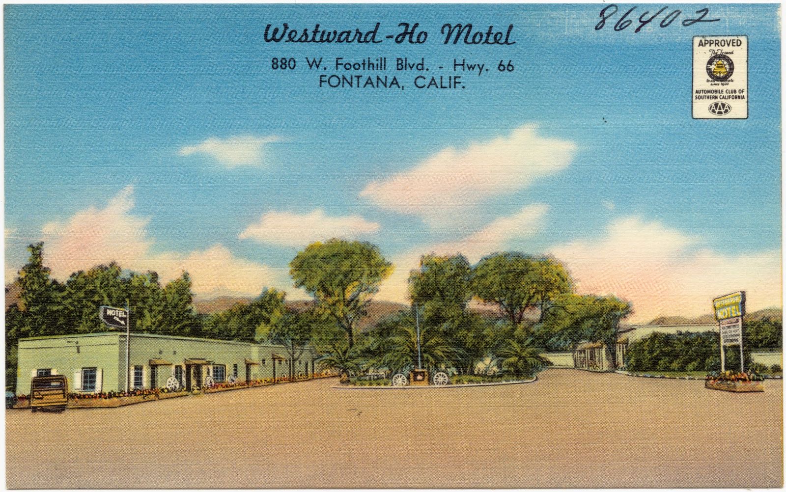
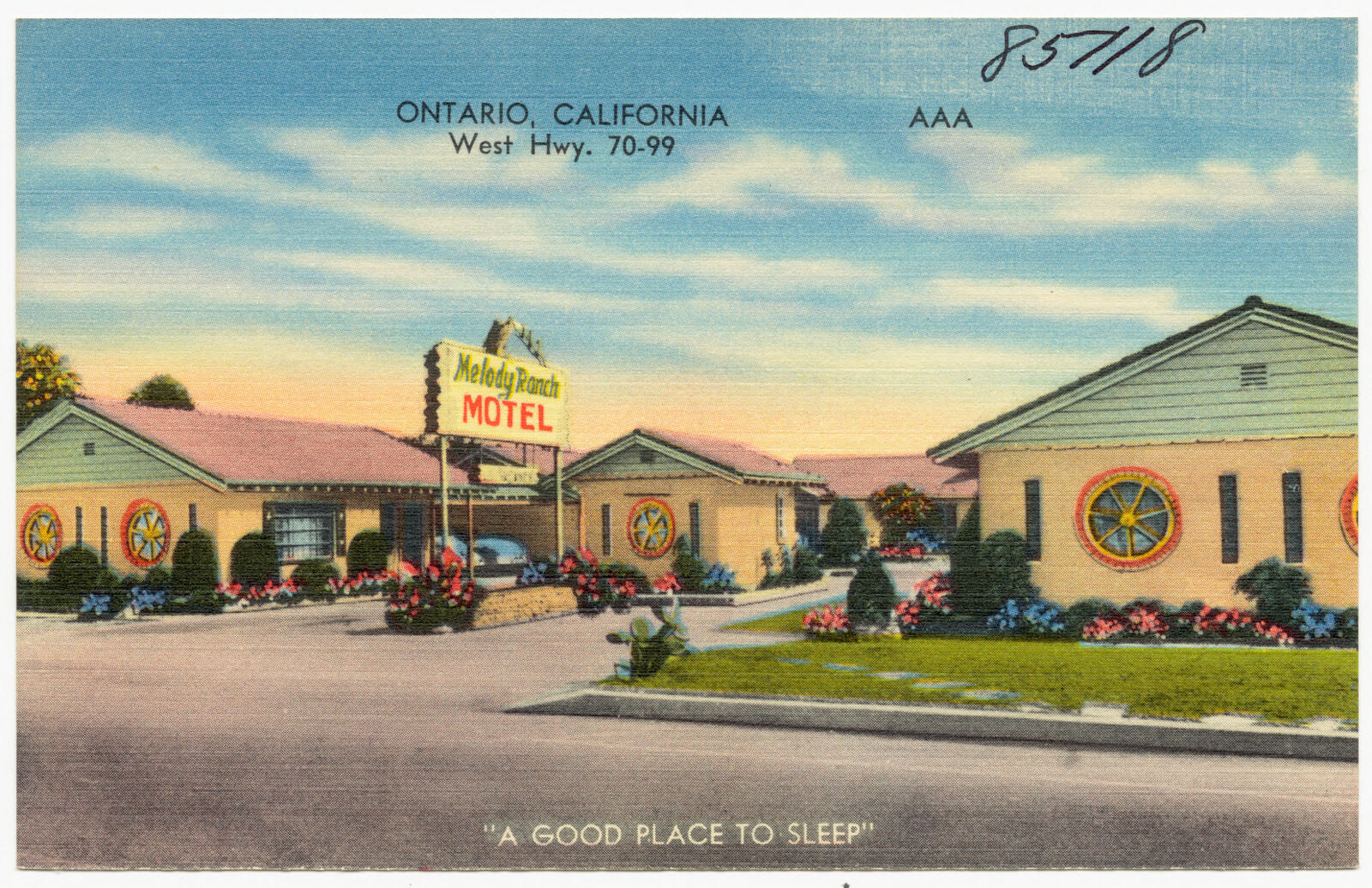
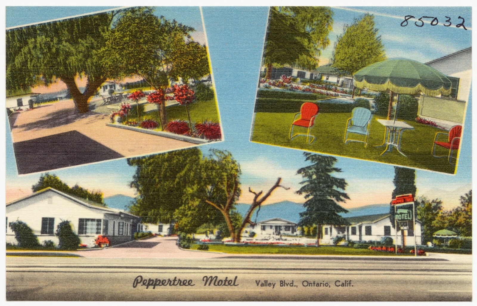
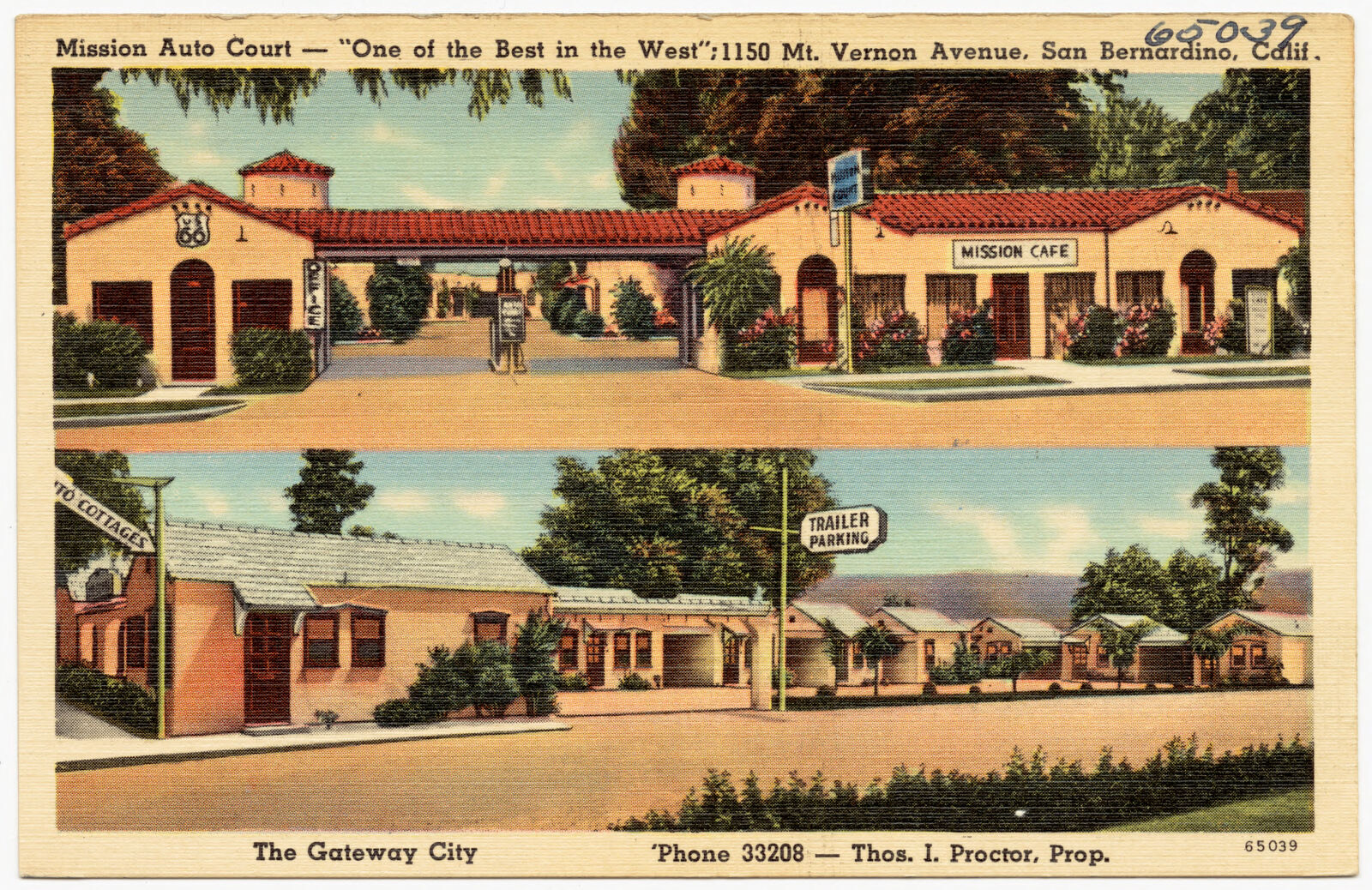
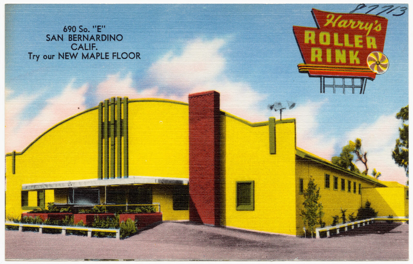
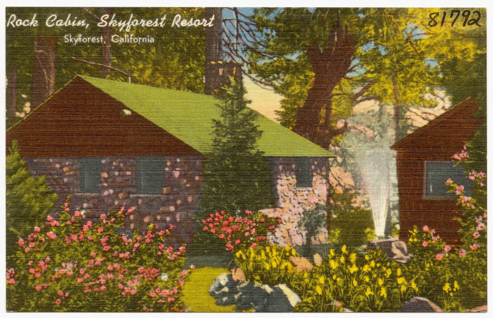
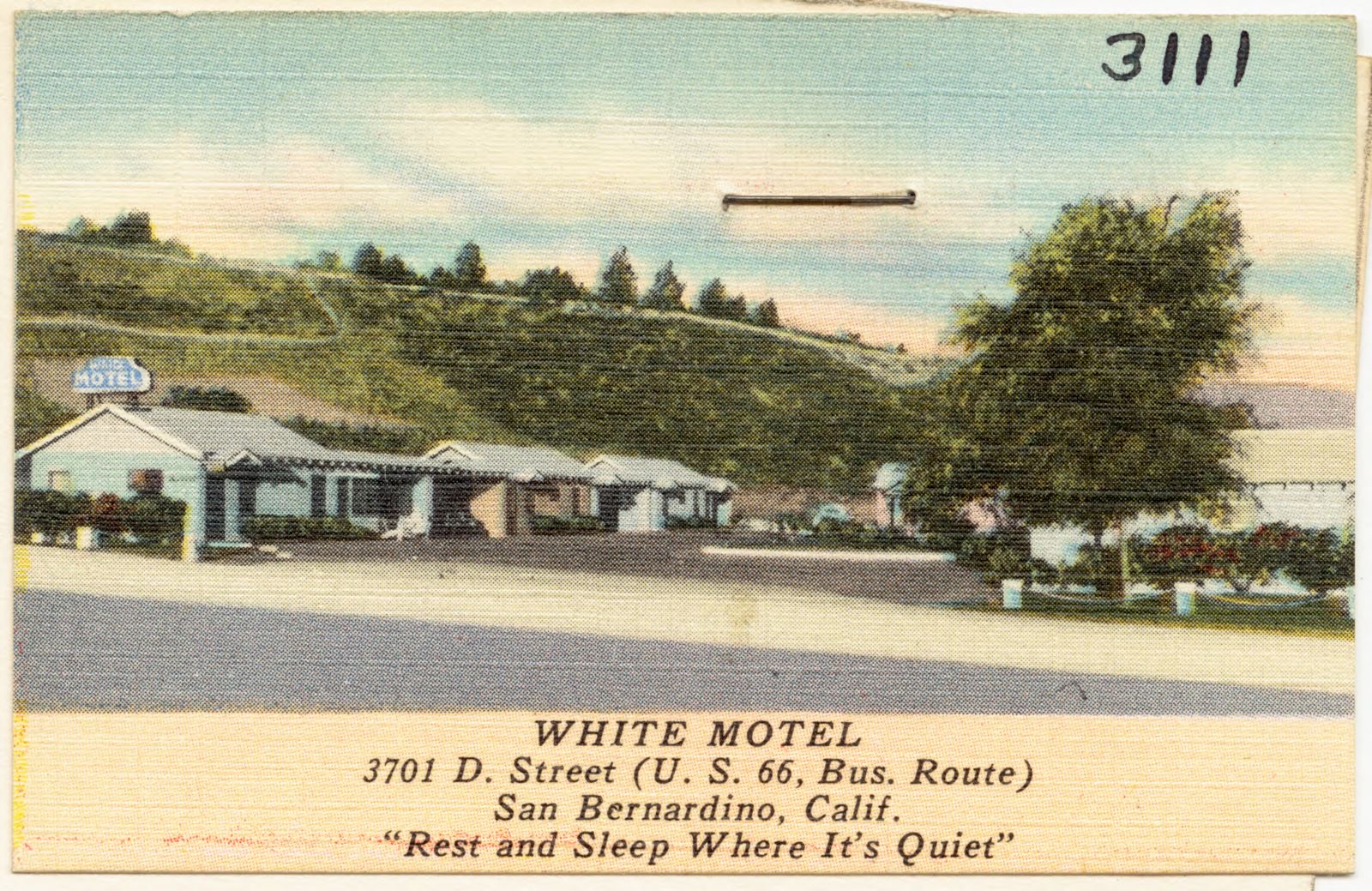
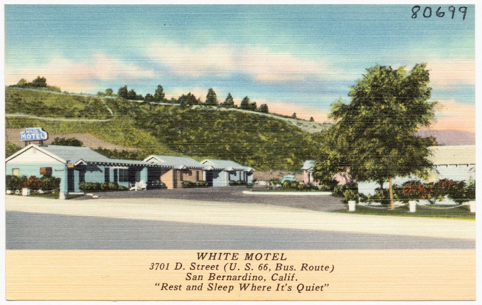
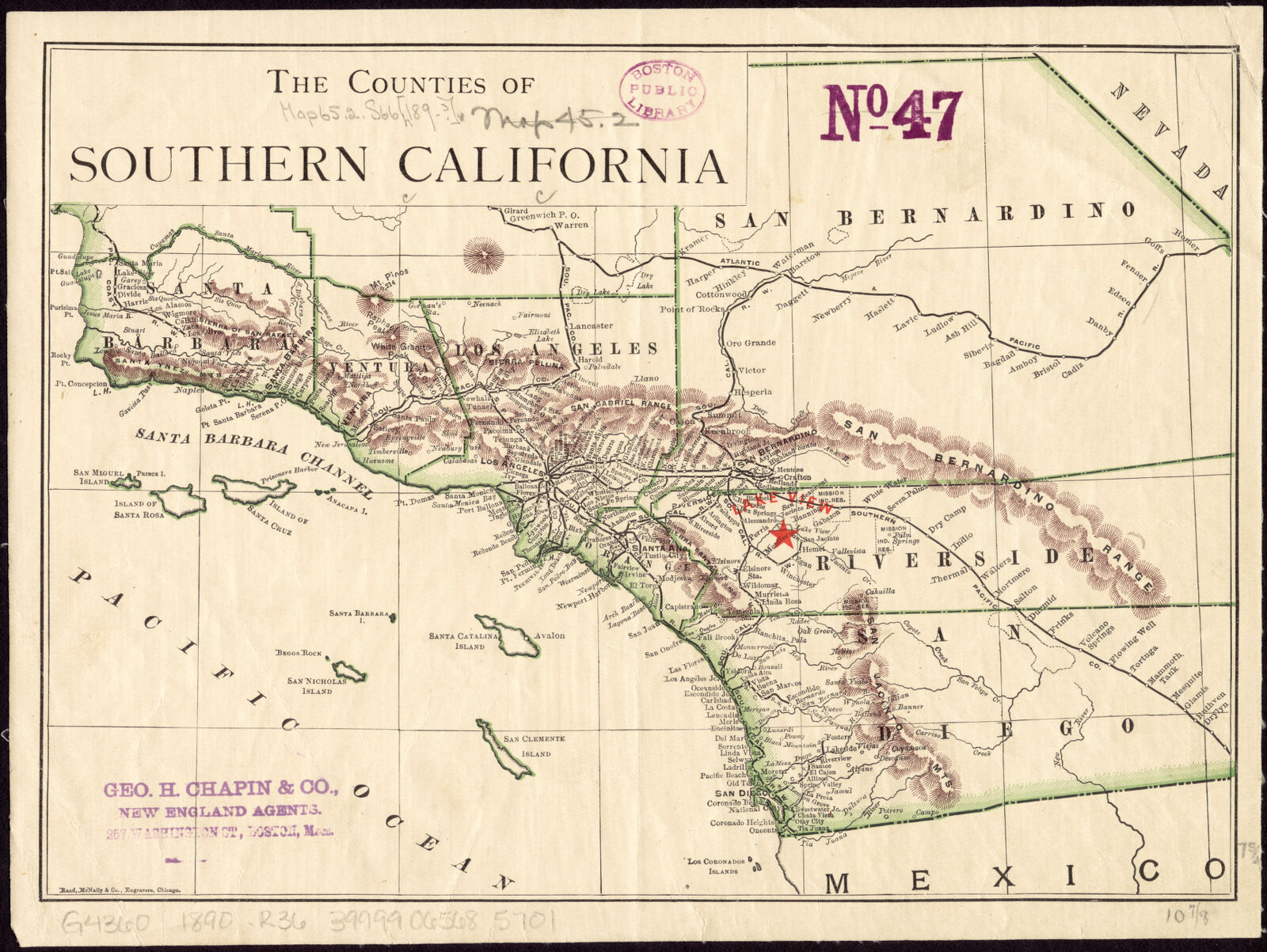
Municipal Auditorium, San Bernardino, California. Boston Public Library, via the Digital Public Library of America.San Bernardino County Court House, San Bernardino, California. Boston Public Library, via the Digital Public Library of America.Night Scene, The Harris Company Department Store, San Bernardino, Calif.. Boston Public Library, via the Digital Public Library of America.George Junior Café and George's Club, 364 Highland Ave., San Bernardino, Calif.. Boston Public Library, via the Digital Public Library of America.Hadlock Motel at the "Gateway to Death Valley". Boston Public Library, via the Digital Public Library of America.Skyview Motel. Boston Public Library, via the Digital Public Library of America.Airport obstruction chart, OC 965, Ontario International Airport, Ontario, California. United States. National Ocean Service, Boston Public Library, via the Digital Public Library of America.Santa Fe Depot, San Bernardino, California. Boston Public Library, via the Digital Public Library of America.Lobby, Hotel Antlers, San Bernardino, California. Boston Public Library, via the Digital Public Library of America.5 Min. Car Wash. Boston Public Library, via the Digital Public Library of America.Arrowhead Hot Springs Hotel, San Bernardino, California. Boston Public Library, via the Digital Public Library of America.Pike's El Rancho Baker, Motel and Café. Boston Public Library, via the Digital Public Library of America.Sportland, Lake Arrowhead's complete amusement center. Boston Public Library, via the Digital Public Library of America.Orange Hotel, Ontario, California. Boston Public Library, via the Digital Public Library of America.California Hotel, San Bernardino, California. Boston Public Library, via the Digital Public Library of America.Hotel Antlers, San Bernardino, California. Boston Public Library, via the Digital Public Library of America.Airport obstruction chart, OC 5599, Chino Airport, Chino, California. United States. National Ocean Service, Boston Public Library, via the Digital Public Library of America.Westward-Ho Motel, 880 W. Foothill Blvd, - Hwy. 66, Fontana, Calif.. Boston Public Library, via the Digital Public Library of America.Melody Rancy Motel, Ontario, California, West Hwy. 70-99. Boston Public Library, via the Digital Public Library of America.Peppertree Motel, Valley Blvd., Ontario, Calif.. Boston Public Library, via the Digital Public Library of America.Mission Auto Court -- "One of the Best in the West." 1150 Mt. Vernon Avenue, San Bernardino, Calif.. Boston Public Library, via the Digital Public Library of America.Harry's Roller Rink, 690 So. "E" San Bernardino, Calif.. Boston Public Library, via the Digital Public Library of America.Rock Cabin, Skyforest Resort, Skyforest, California. Boston Public Library, via the Digital Public Library of America.White Motel, 3701 D. Street (U. S. 66, Bus. Route), San Bernardino, Calif., "Rest and sleep where it's quiet". Boston Public Library, via the Digital Public Library of America.White Motel, 3701 D. Street (U. S. 66, Bus. Route), San Bernardino, Calif., "Rest and sleep where it's quiet". Boston Public Library, via the Digital Public Library of America.The counties of Southern California. Rand McNally and Company, Boston Public Library, via the Digital Public Library of America.
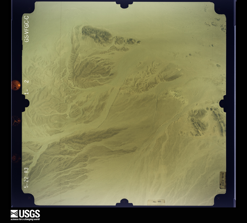
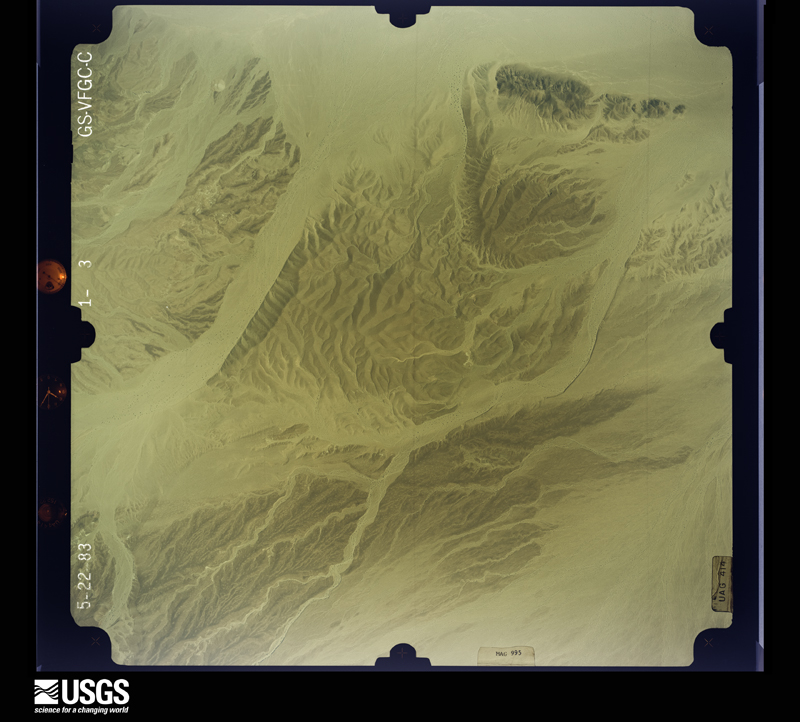
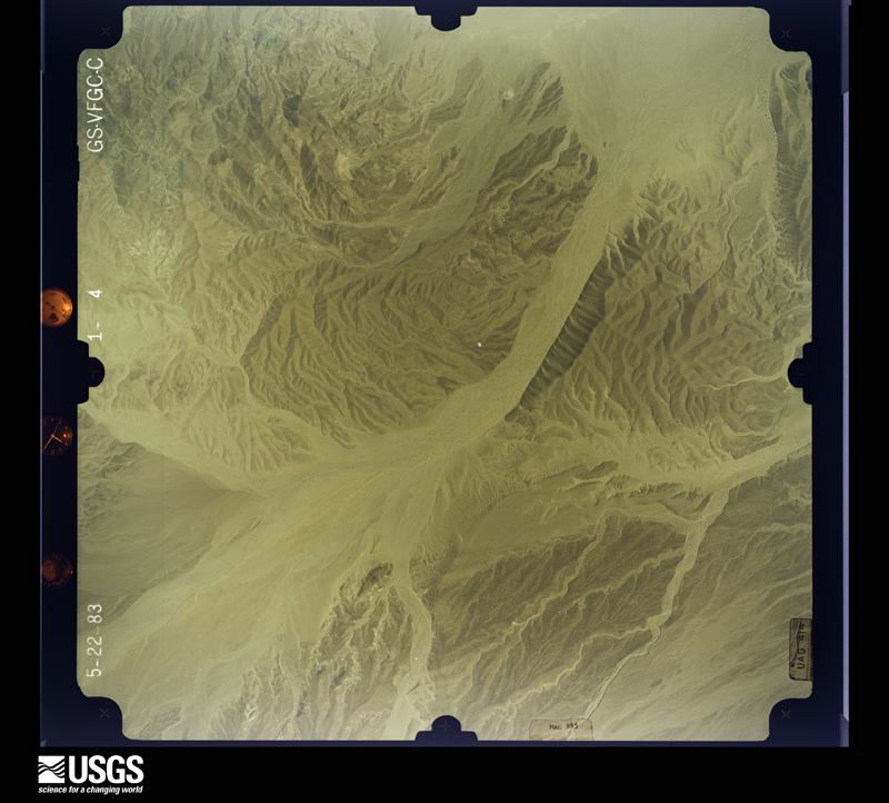
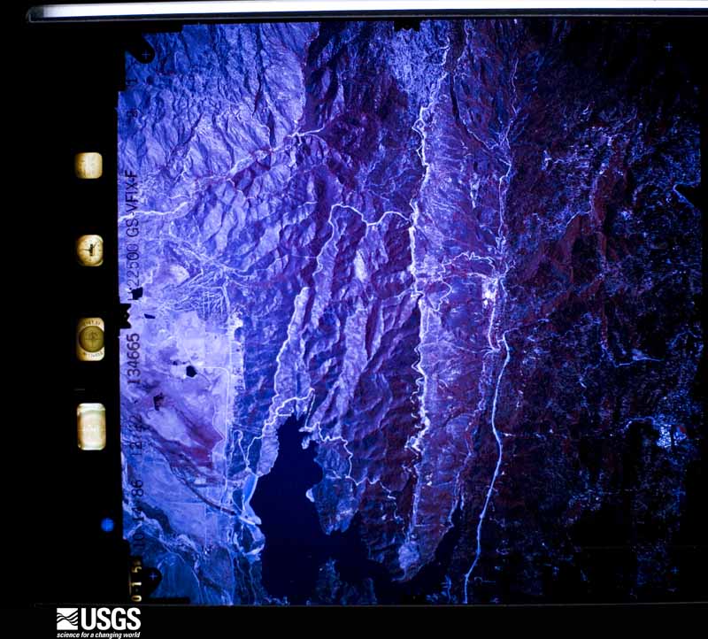
The county from the air
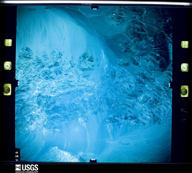
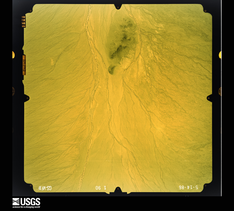
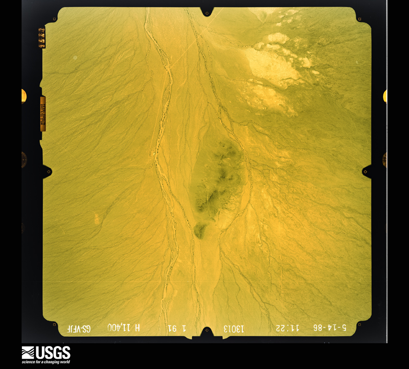
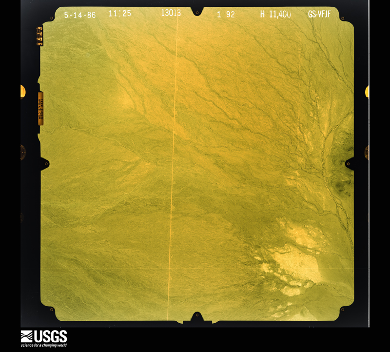
48 shown
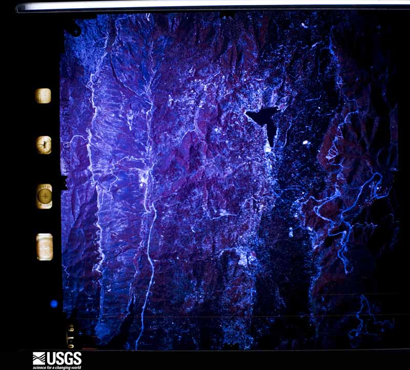
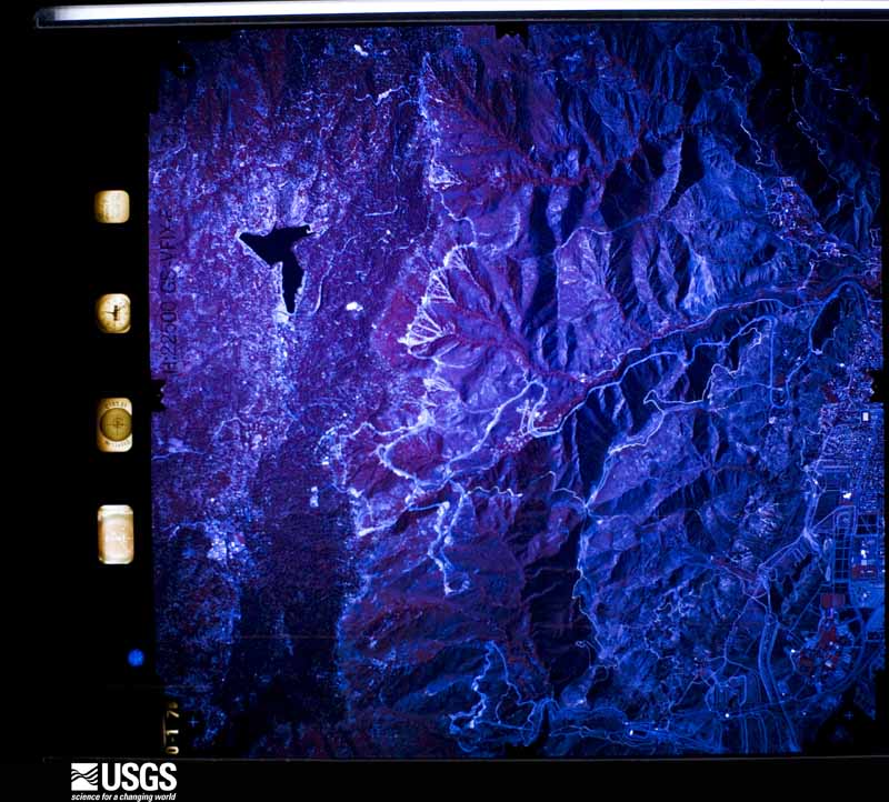
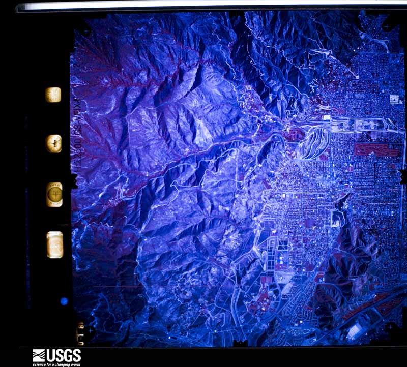
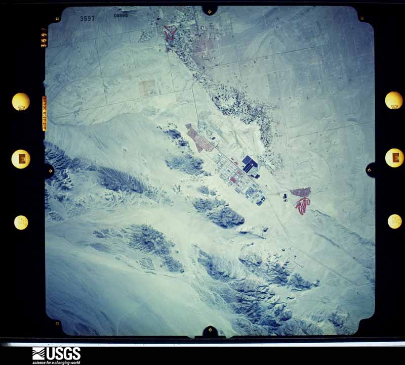
Flown by the U.S. Geological Survey
between 1937 and 1989, the Aerial Photo Single Frames collection is
the definitive mid-century view of the land: fields, roads and rivers
as the camera saw them. The Survey holds 43,244 frames inside the
rectangle that bounds this county; the 48 frames below were taken over
the county itself, chosen across the decades of flights (at most four
a year from that rectangle), so one flight cannot crowd out the rest.
The full set is free to browse and download at
EarthExplorer under the dataset Aerial Photo Single
Frames.
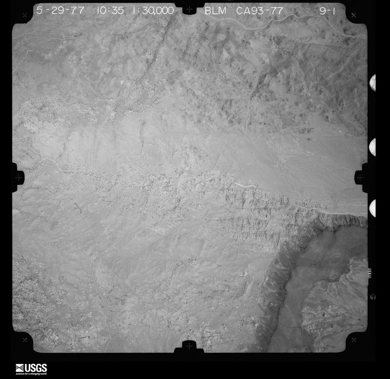
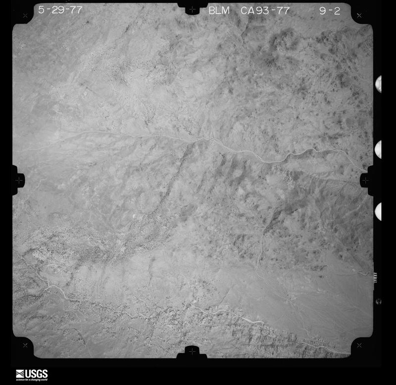
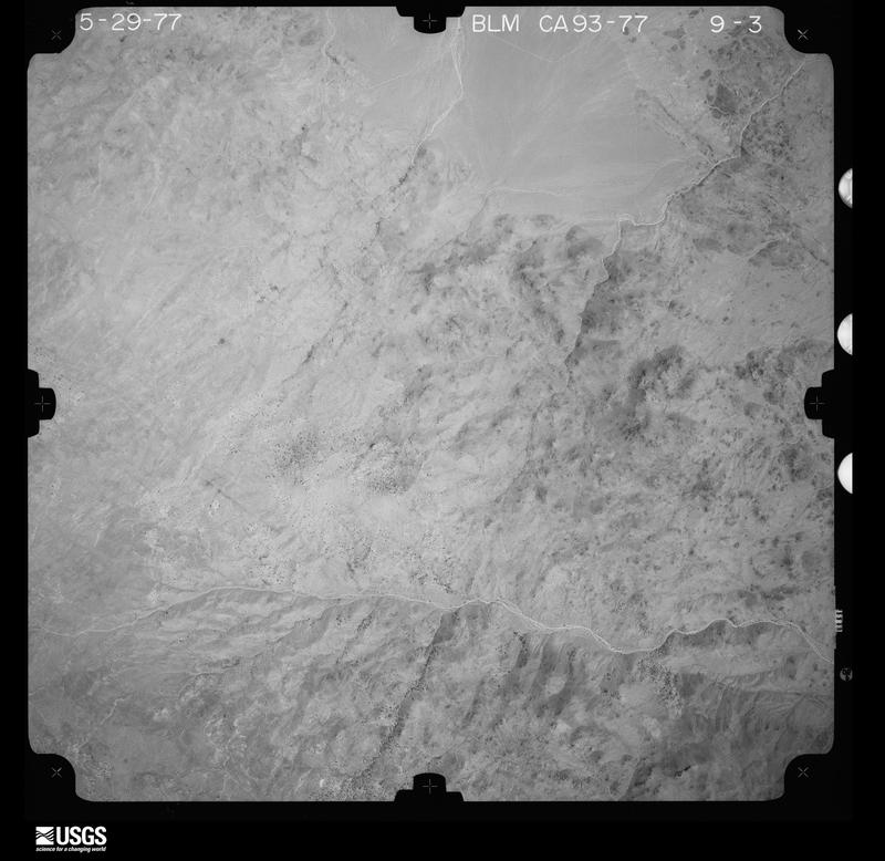
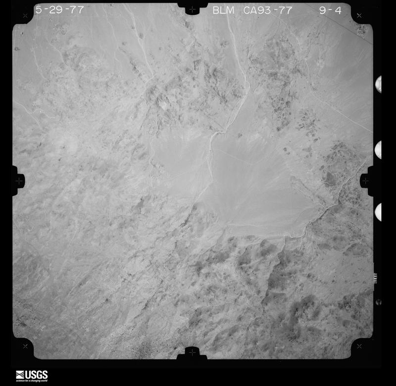
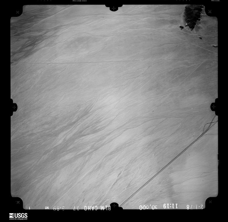
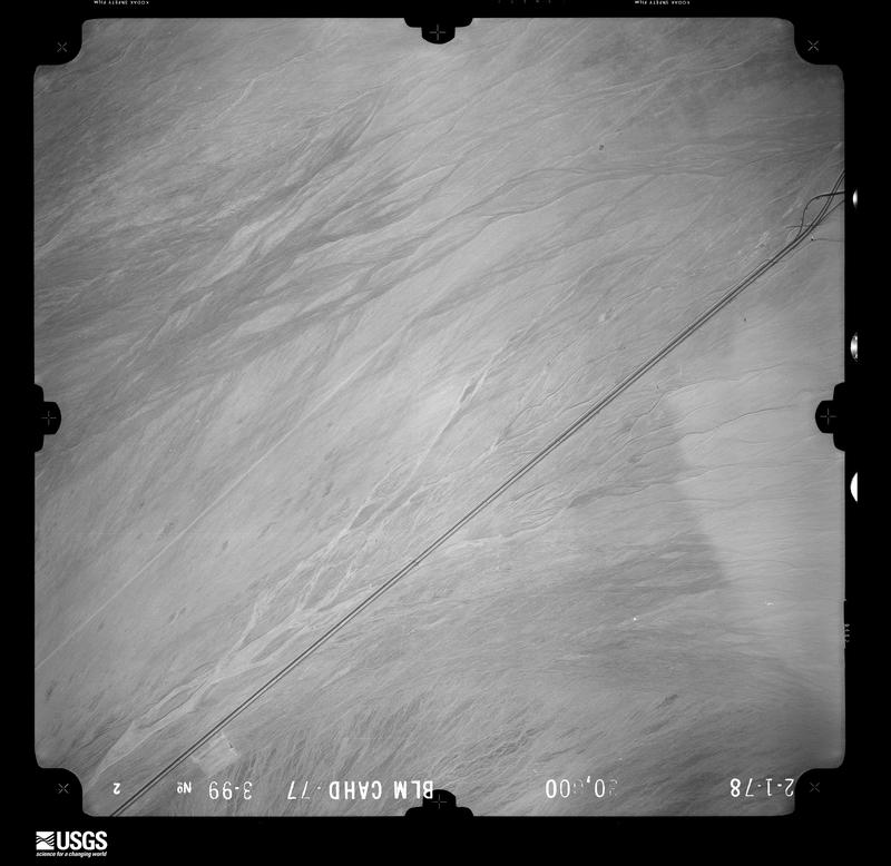
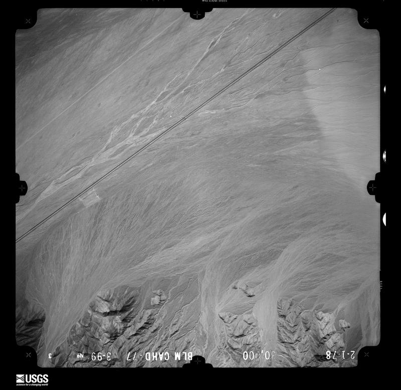
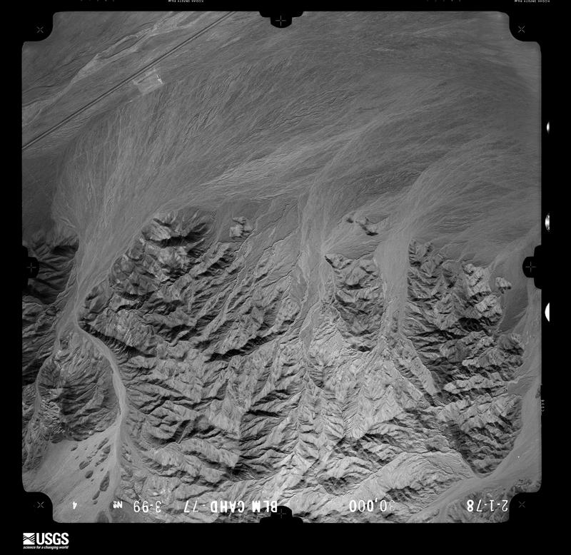
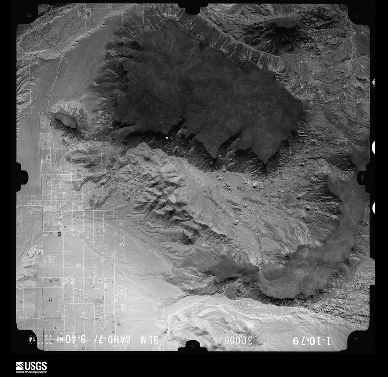
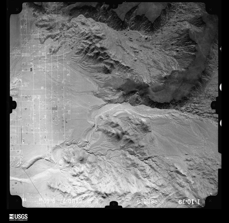
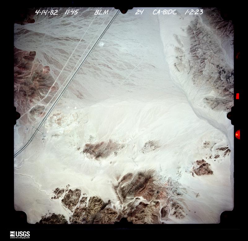
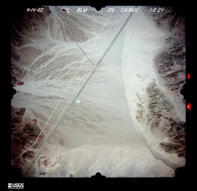
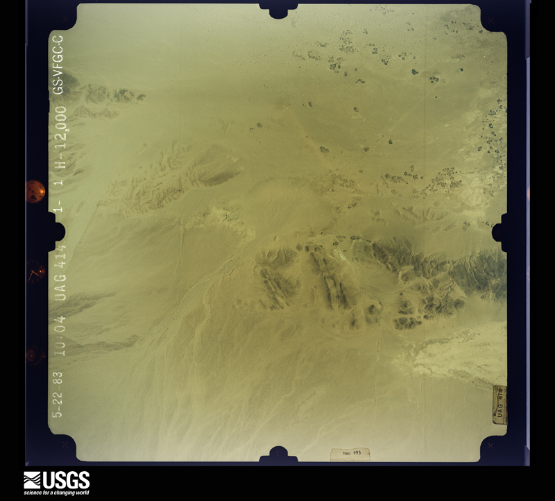
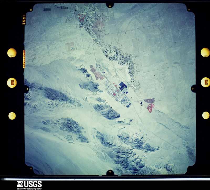
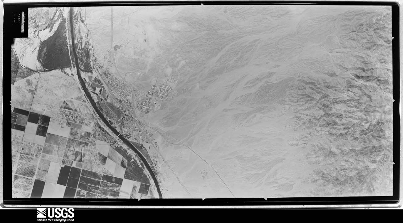
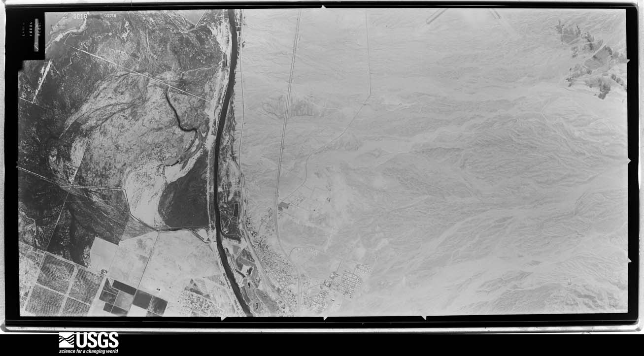
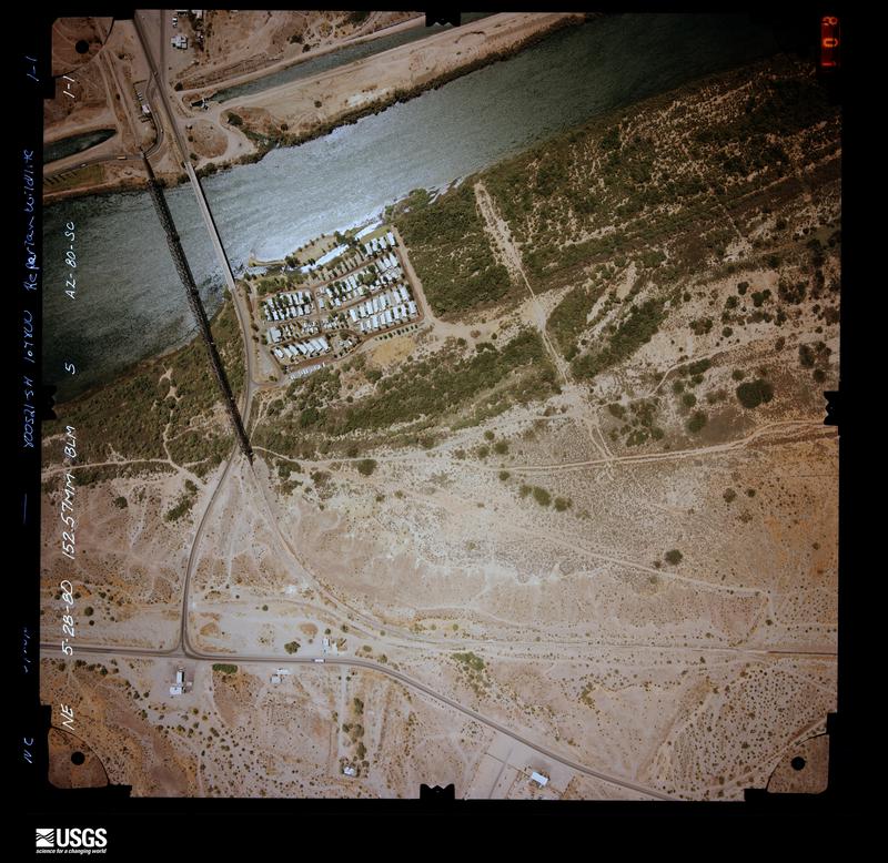
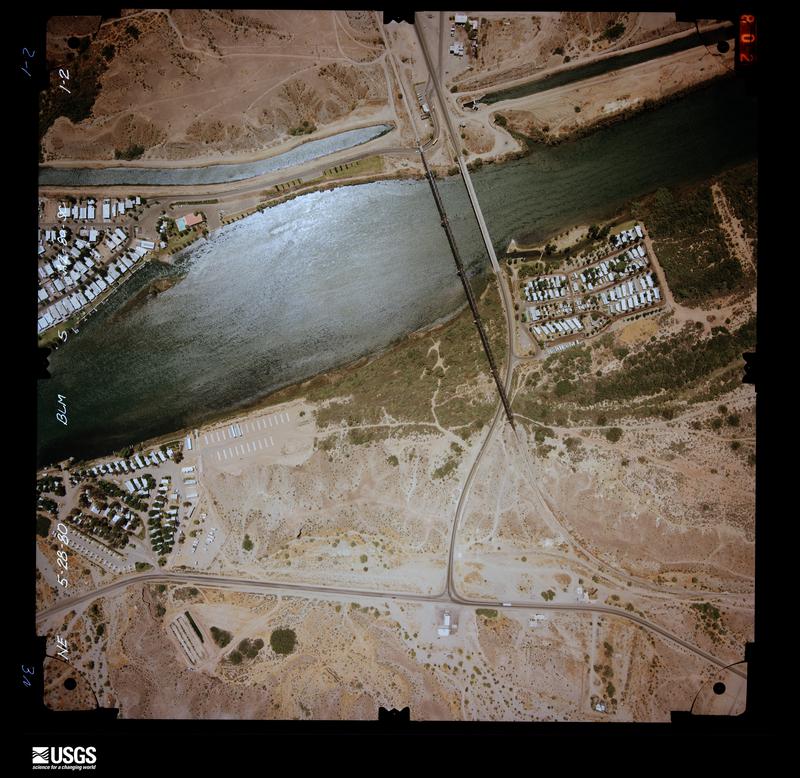
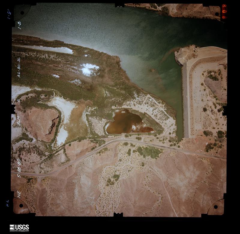
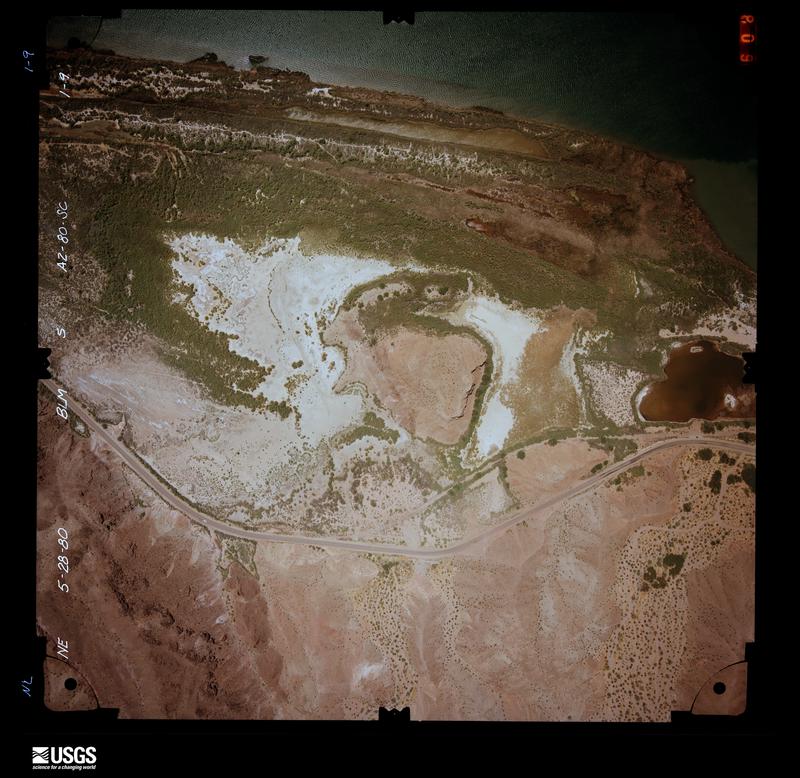
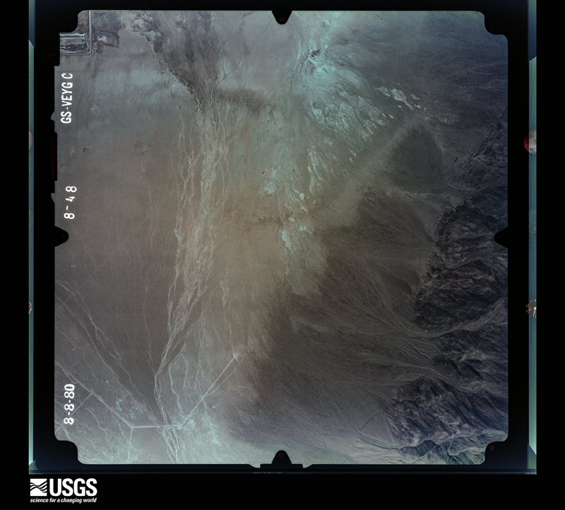
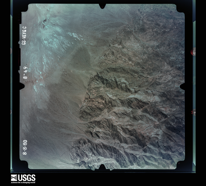
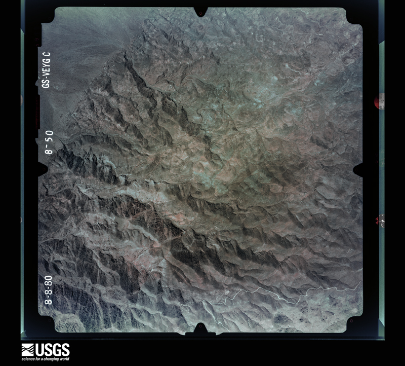
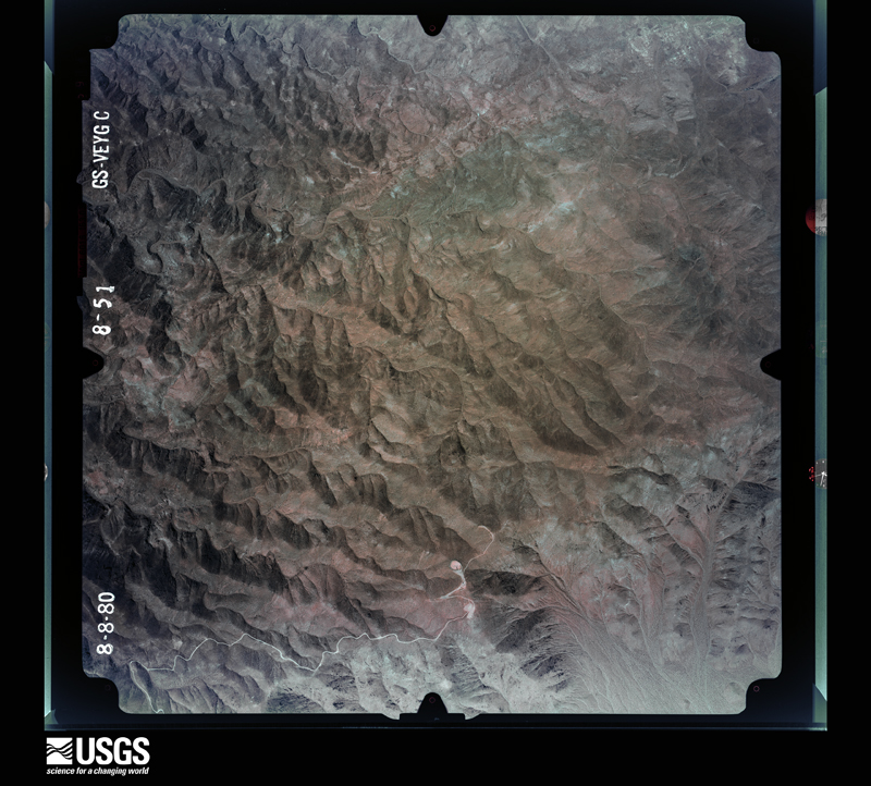
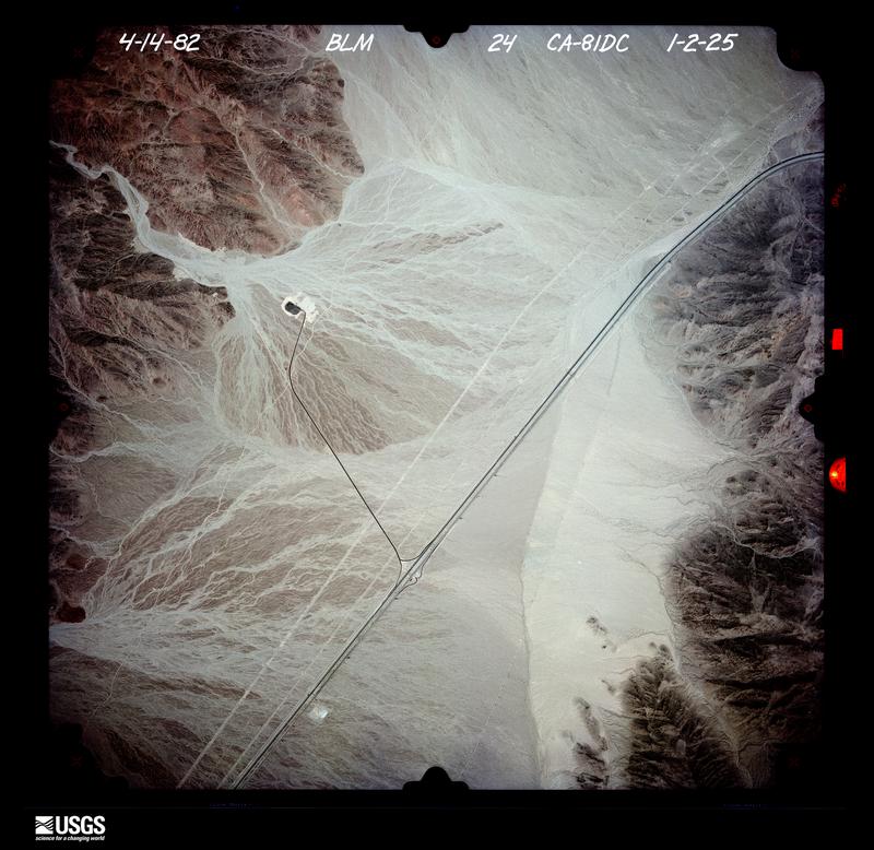
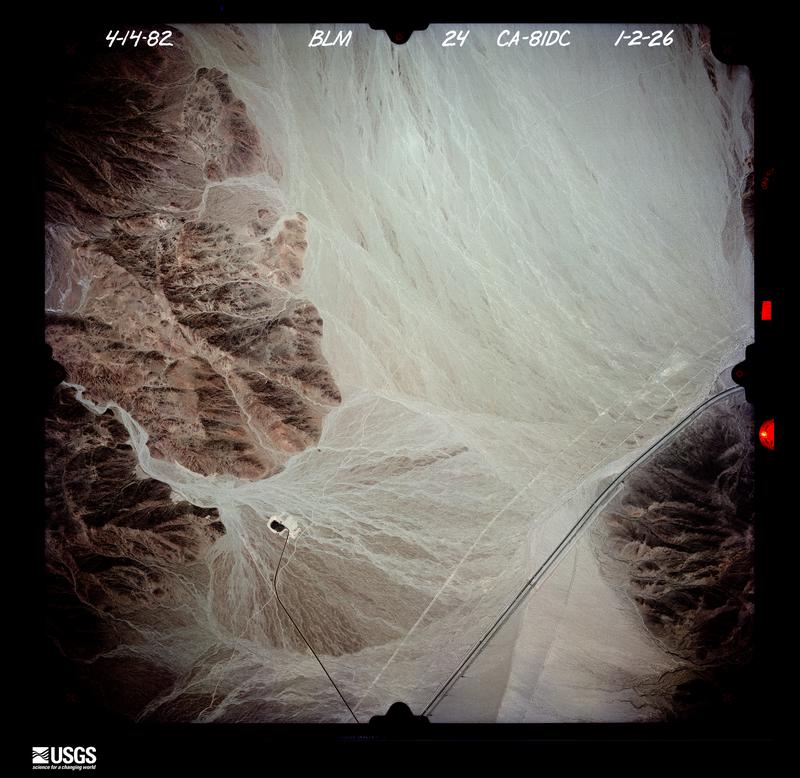
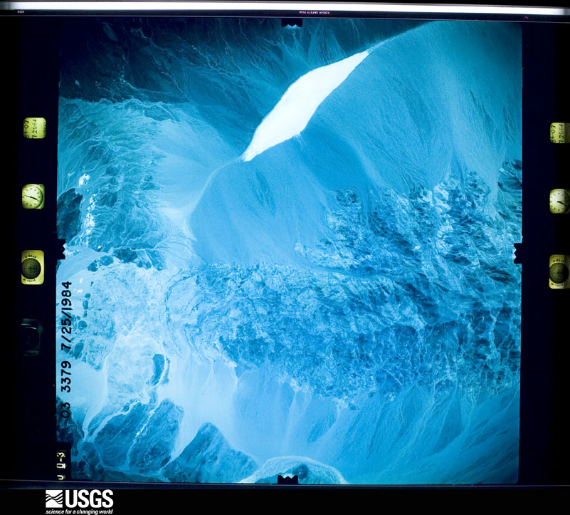
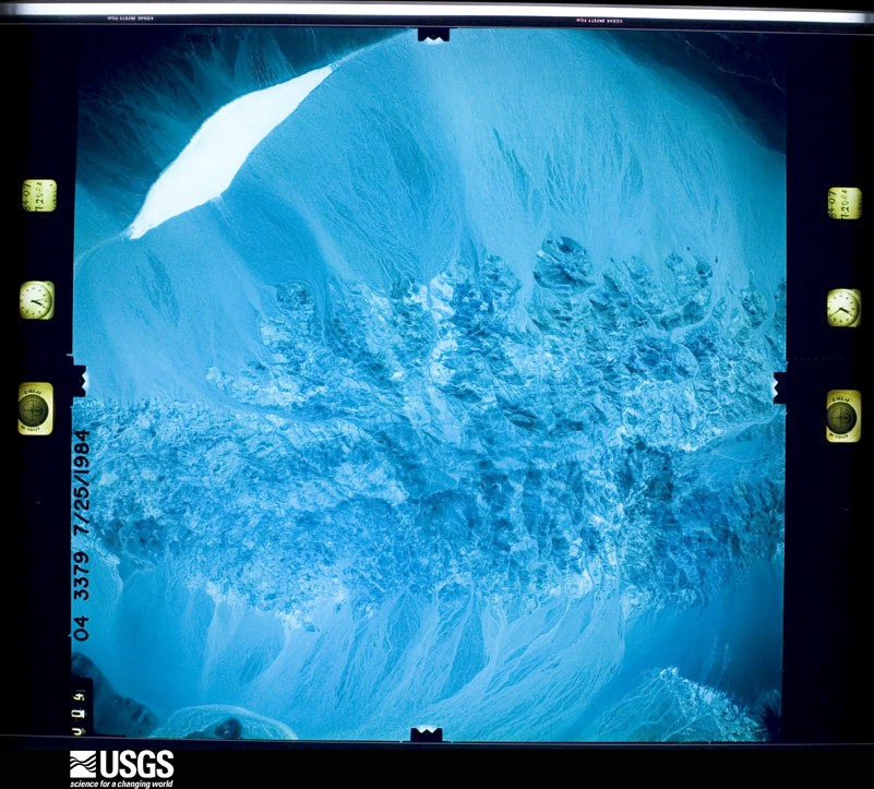
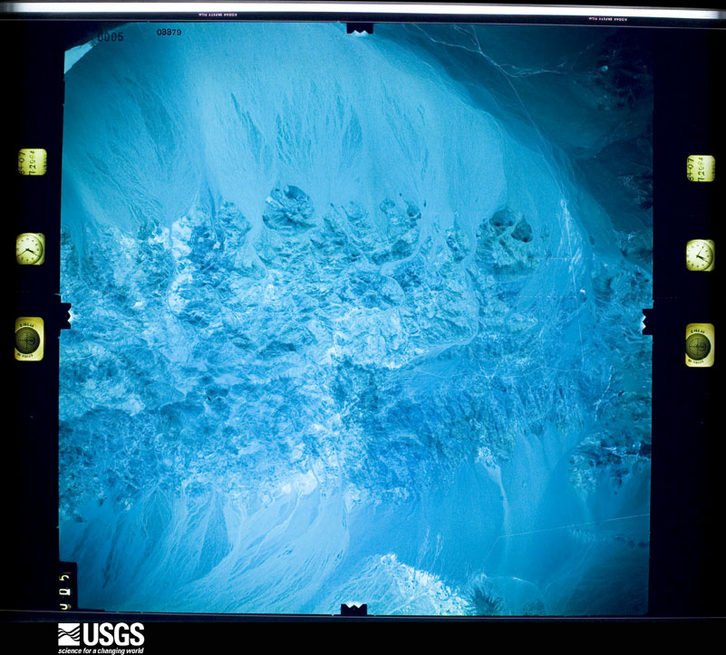
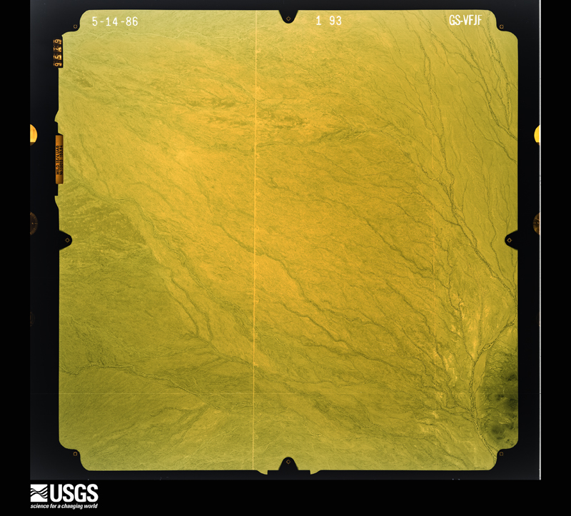
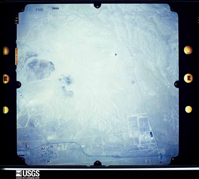
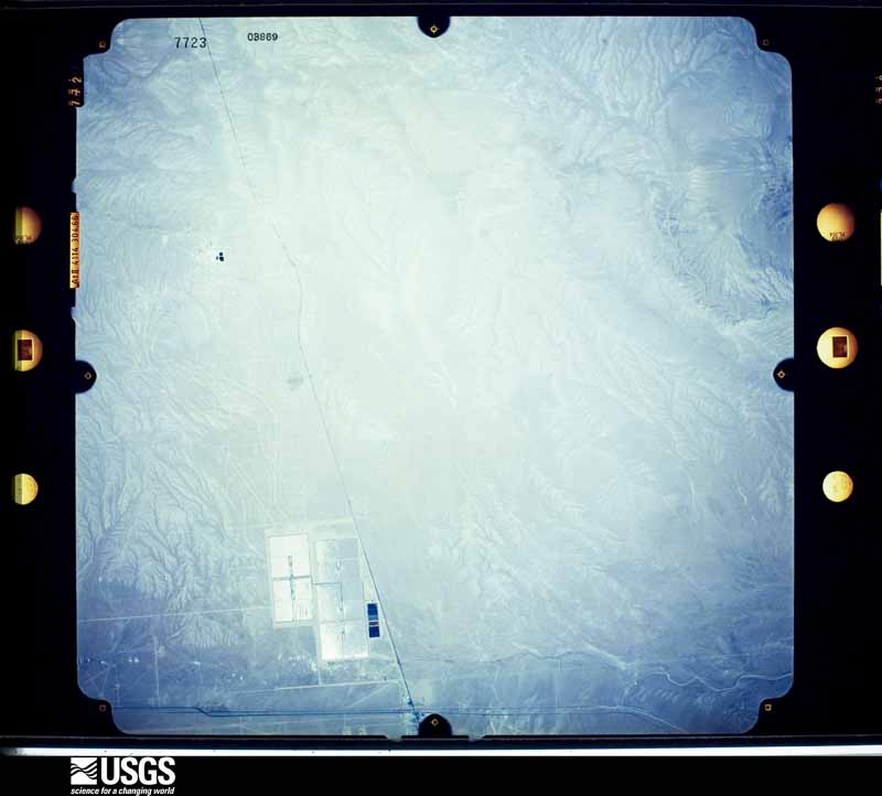
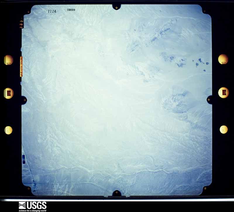
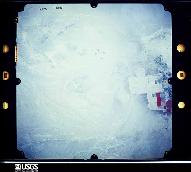
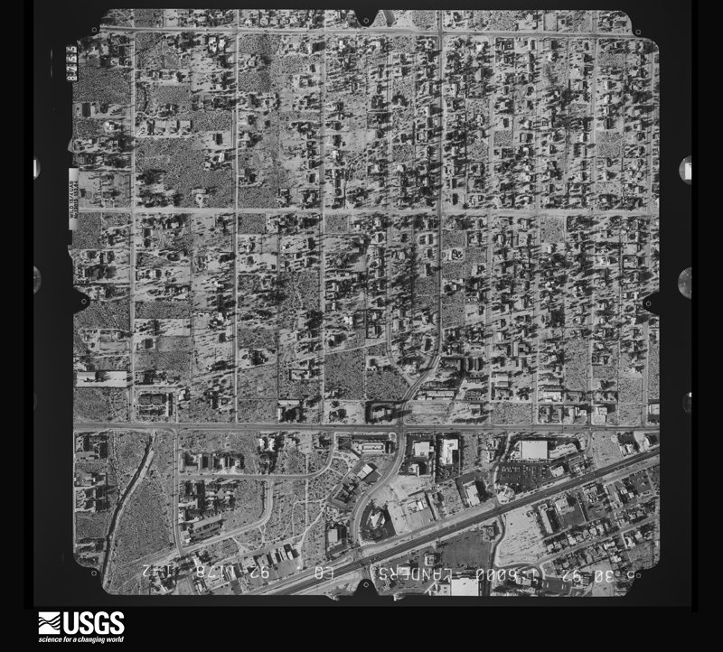
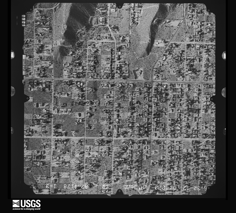
1977-05-29, scale 1:30000. U.S. Geological Survey aerial photograph.1977-05-29, scale 1:30000. U.S. Geological Survey aerial photograph.1977-05-29, scale 1:30000. U.S. Geological Survey aerial photograph.1977-05-29, scale 1:30000. U.S. Geological Survey aerial photograph.1978-02-01, scale 1:30000. U.S. Geological Survey aerial photograph.1978-02-01, scale 1:30000. U.S. Geological Survey aerial photograph.1978-02-01, scale 1:30000. U.S. Geological Survey aerial photograph.1978-02-01, scale 1:30000. U.S. Geological Survey aerial photograph.1979-01-10, scale 1:30000. U.S. Geological Survey aerial photograph.1979-01-10, scale 1:30000. U.S. Geological Survey aerial photograph.1982-04-14, scale 1:24000. U.S. Geological Survey aerial photograph.1982-04-14, scale 1:24000. U.S. Geological Survey aerial photograph.1983-05-22, scale 1:24000. U.S. Geological Survey aerial photograph.1983-05-22, scale 1:24000. U.S. Geological Survey aerial photograph.1983-05-22, scale 1:24000. U.S. Geological Survey aerial photograph.1983-05-22, scale 1:24000. U.S. Geological Survey aerial photograph.1985-08-01, scale 1:40000. U.S. Geological Survey aerial photograph.1985-08-01, scale 1:40000. U.S. Geological Survey aerial photograph.1985-08-01, scale 1:40000. U.S. Geological Survey aerial photograph.1985-08-01, scale 1:40000. U.S. Geological Survey aerial photograph.1987-11-19, scale 1:70000. U.S. Geological Survey aerial photograph.1987-11-19, scale 1:70000. U.S. Geological Survey aerial photograph.1979-04-19, scale 1:33000. U.S. Geological Survey aerial photograph.1979-04-19, scale 1:32333. U.S. Geological Survey aerial photograph.1980-05-28, scale 1:5000. U.S. Geological Survey aerial photograph.1980-05-28, scale 1:5000. U.S. Geological Survey aerial photograph.1980-05-28, scale 1:5000. U.S. Geological Survey aerial photograph.1980-05-28, scale 1:5000. U.S. Geological Survey aerial photograph.1981-06-01, scale 1:24000. U.S. Geological Survey aerial photograph.1981-06-01, scale 1:24000. U.S. Geological Survey aerial photograph.1981-06-01, scale 1:24000. U.S. Geological Survey aerial photograph.1981-06-01, scale 1:24000. U.S. Geological Survey aerial photograph.1982-04-14, scale 1:24000. U.S. Geological Survey aerial photograph.1982-04-14, scale 1:24000. U.S. Geological Survey aerial photograph.1984-07-26, scale 1:41000. U.S. Geological Survey aerial photograph.1984-07-26, scale 1:41000. U.S. Geological Survey aerial photograph.1984-07-26, scale 1:41000. U.S. Geological Survey aerial photograph.1984-07-26, scale 1:42000. U.S. Geological Survey aerial photograph.1986-05-14, scale 1:24400. U.S. Geological Survey aerial photograph.1986-05-14, scale 1:24400. U.S. Geological Survey aerial photograph.1986-05-14, scale 1:24400. U.S. Geological Survey aerial photograph.1986-05-14, scale 1:24400. U.S. Geological Survey aerial photograph.1989-05-30, scale 1:65000. U.S. Geological Survey aerial photograph.1989-05-30, scale 1:65000. U.S. Geological Survey aerial photograph.1989-05-30, scale 1:65000. U.S. Geological Survey aerial photograph.1989-05-30, scale 1:65000. U.S. Geological Survey aerial photograph.1992-06-30, scale 1:6000. U.S. Geological Survey aerial photograph.1992-06-30, scale 1:6000. U.S. Geological Survey aerial photograph.
Weather records
150 stations, 124 gages
The thermometers that kept this county's weather, and the gages that measured the flow of its streams, as the federal records hold them. The extremes below are measured values from those records, not estimates.
NEEDLES1888 to 1940, hottest 345.6 C, coldest -7.8 C
Who lived here in 1950, one enumeration
district at a time, as the Census Bureau described each district.
Each row opens its official National Archives result, with Population
Schedules and ED Maps available there.
36-2Atolia Judicial Township: Atolia-Red Mountain, unincorporated Bounded by 1/2 mile offset north of and parallel to U.S. Hwy. 395; 1/2 mile offset east of and parallel to U.S. Hwy. 395; A line due west to jct. of Unnamed Rd., and U.S. Hwy. 395, Unnamed Rd., Unnamed Rd. extended; County line
36-3Atolia Judicial Township - That part outside Atolia-Red Mountain unincorporated (See separate map for boundaries of Atolia-Red Mountain)
36-5Barstow Judicial Township: Barstow city: Barstow city - That part Bounded by City limits; City limits; Atchison, Topeka and Santa Fe Railroad; City limits
36-6Barstow city - That part Bounded by Atchison, Topeka and Santa Fe Railroad; 1st, Hutchison, 3rd; Main (State Hwy. 66); City limits
36-7Barstow city - That part Bounded by Atchison, Topeka and Santa Fe Railway Co.; City limits; Main ( State Hwy. 66); 3rd, Hutchison, 1st
36-8Barstow city - That part Bounded by Main (State Hwy. 66); City limits; City limits; Bear Valley Rd.
36-9Barstow city - That part Bounded by Main (State Hwy. 66); Bear Valley Rd.; Fredricks, 2nd, Buena Vista; May
36-10Barstow city - That part Bounded by Main (State Hwy. 66); May; Buena Vista, A Lane, Flora Ave., G, City limits; City limits
36-11Barstow city - That part Bounded by Flora Ave., A Lane, Buena Vista, 2nd, Fredricks; Bear Valley Rd.; City limits; City limits, G
36-12Barstow Judicial Township - That part north of U.S. Hwy. 466 and U.S. Hwy. 66, outside Barstow city and excluding parts of Muroc Air Force Base, including Muroc Flight Test Base and U.S. Marine Corp Storage and Repair Depot in This Enumeration District
36-13Muroc Air Force Base, including Muroc Flight Test Base - That part in Barstow Judicial Township (Remainder of Muroc Air Force Base, including Muroc Flight Test Base is in Kern and Los Angeles counties)
36-14U.S. Marine Corps Storage and Repair Depot (In Barstow Judicial Township)
36-15Barstow Judicial Township - That part excluding parts of the Muroc Air Force Base including Muroc Flight Test Base and U.S. Marine Corps Storage and Repair Depot in this Enumeration District Bounded by U.S. Hwy. 466, Barstow city limits, U.S. Hwy. 66; Judicial Township line; Judicial Township line, Range line between R. 2 and 3 W., North line of sections 25, 26, 27 and 28 (pt.) T. 9 N. R. 3 W., Mojave River, Township line between T. 8 and 9 N., Judicial Township line; County line
36-16Barstow Judicial Township - That part Bounded by Township line between T. 8 and 9 N., Mojave River, North line of sections 28 (pt.), 27, 26 and 25 T. 9 N. R. 3 W.; Range line between R. 2 and 3 W.; Judicial Township line; Judicial Township line
36-18Belleville Judicial Township: Belleville Judicial Township excluding Daggett U.S. Marine Corps Storage and Repair Depot and that part of Yermo Annex U.S. Marine Corps Depot of Supplies in this Judicial Township
36-19Dagget Annex U.S. Marine Corps Storage and Repair Depot (In Belleville Judicial Township) .
36-20Yermo Annex U.S. Marine Corps Depot of Supplies - That part in Belleville Judicial Township (Remainder of Yermo Annex U.S. Marine Corps Depot of Supplies is in Yermo township)
36-21Bloomington Judicial Township: Bloomington Judicial Township - That part Bounded by Judicial Township line; Judicial Township line; Slover Ave.; Cedar Ave., Orange, Larch Ave., Colton Ave., Spruce Ave.
36-22Bloomington Judicial Township - That part Bounded by Judicial Township line; Spruce Ave.; Pomona Ave., Larch Ave., Union Pacific Railroad (Pacific Electric Railway), Cedar Ave., Grove Pl., Linden Ave., Marigold Ave., Locust Ave., State Hwy. 26 (Colton Ave.); Alder Ave., San Bernardino Ave. (Manning), Laurel Ave.
36-23Bloomington Judicial Township - That part Bounded by Judicial Township line; Laurel Ave.; San Bernardino Ave. (Manning); Alder Ave.
36-24Bloomington Judicial Township - That part Bounded by Judicial Township line; Sierra Ave. (Magnolia); Holly Dr.; Juniper Ave.
36-25Bloomington Judicial Township - That part Bounded by Judicial Township line, Juniper Ave., Holly Dr., Sierra Ave. (Magnolia), Judicial Township line; Palmetto Ave.; Marigold Ave., Sierra Ave. (Magnolia), State Hwy. 26 (Colton Ave.); Oleander Ave.
36-26Bloomington Judicial Township - That part Bounded by Judicial Township line; Alder Ave.; Southern Pacific Railroad; Sierra Ave. (Magnolia), Marigold Ave., Palmetto Ave.
36-27Bloomington Judicial Township - That part Bounded by State Hwy. 26 (Colton Ave.), Locust Ave., Marigold Ave.; Linden Ave.; New Hwy. 99, Locust Ave., Taylor Ave.; Alder Ave.
36-28Bloomington Judicial Township - That part Bounded by Grove Pl.; Cedar Ave., State 26 (Colton Ave.), Church, Orange, Cedar; Slover Ave.; Linden Ave., Orange, Orchard, New Hwy. 99., Linden Ave.
36-29Bloomington Judicial Township - That part Bounded by Union Pacific Railroad (Pacific Electric Railway), Larch Ave., Pomona Ave.; Spruce Ave., State Hwy. 26 (Colton Ave.), Larch Ave.; Orange; Church, State Hwy. 26 (Colton Ave.)
36-30Bloomington Judicial Township - That part Bounded by Slover Ave.; Judicial Township line; Judicial Township line, Jurupa Ranch line; Union Pacific Railroad (Pacific Electric Railway)
36-31Bloomington Judicial Township - That part Bounded by Southern Pacific Railroad, Alder Ave., Taylor Ave., Locust Ave., New Hwy. 99; Orchard, Orange, Linden Ave., Slover Ave., Union Pacific Railroad (Pacific Electric Railway); Santa Ana Ave.; Sierra Ave. (Magnolia)
36-32Bloomington Judicial Township - That part Bounded by Judicial Township line; Oleander Ave., U.S. Hwy. 99, Sierra Ave.; Southern Pacific Railroad; Live Oak Ave.
36-33Bloomington Judicial Township - That part Bounded by Judicial Township line; Live Oak Ave.; Southern Pacific Railroad; Judicial Township line
36-34Bloomington Judicial Township - That part Bounded by Southern Pacific Railroad; Live Oak Ave., Live Oak Ave. extended; County line; Judicial Township line
36-35Bloomington Judicial Township - That part Bounded by Southern Pacific Railroad; Sierra Ave., Jurupa Ave., Poplar; County line; Live Oak Ave. extended, Live Oak Ave.
36-36Bloomington Judicial Township - That part Bounded by Jurupa Ave., Sierra Ave., Santa Ana Ave.; Union Pacific Railroad, Jurupa Ranch line, Judicial Township line; County line; Poplar
36-37Calzona Judicial Township: Calzona Judicial Township - That part in Chemehuevi Indian Reservation
36-38Calzona Judicial Township - That part outside Chemehuevi Indian Reservation and Colorado Indian Reservation
36-39Calzona Judicial Township - That part in Colorado Indian Reservation (Remainder of Colorado Indian Reservation is in Riverside County and Yuma County, Arizona)
36-40Chino Judicial Township: Chino city: Chino city - That part Bounded by City limits; City limits; Riverside Dr.; Central Ave.
36-41Chino city - That part Bounded by City limits; Central Ave.; C; 4th, Riverside Dr., Telephone Ave.
36-42Chino city - That part Bounded by City limits; Telephone Ave., Riverside Dr., 4th; C, 1st, Riverside Dr.; City limits
36-43Chino city - That part Bounded by Riverside Dr.; 1st, C, 4th; Chino Ave.; City limits
36-44Chino city - That part Bounded by C; Central Ave.; G; 5th, Chino Ave., 4th
36-45Chino city - That part Bounded by Riverside Dr.; City limits; Chino Ave., 15th, D.; Central Ave.
36-46Chino city - That part excluding California Institution For Men (part) Bounded by D, 15th, Chino Ave.; City limits; City limits; Central Ave.
36-47California Institution For Men - That part in Chino city (Remainder of California Institution For Men is in Chino Judicial Township)
36-48Chino city - That part Bounded by Chino Ave., 5th, G; Central Ave.; City limits; City limits
36-49Chino Judicial Township - That part Bounded by Judicial Township line; Judicial Township line, County line; County line; State Hwy. 77, State Hwy. 192
36-50Chino Judicial Township - That part excluding that part of California Institution For Men in this Judicial Township Bounded by Judicial Township line; State Hwy. 192; State Hwy. 192, State Hwy. 77; State Hwy. 77, Central Ave., Chino city limits, Central Ave.
36-51California Institution For Men - That part in Chino Judicial Township (part) (Remainder of California Institution For Men is in Chino city)
36-52Chino Judicial Township - That part Bounded by Judicial Township line; Central Ave., Chino city limits; Chino Ave., State Hwy. 77; County line
36-53BChino Judicial Township - That part Bounded by Chino Ave., Chino city limits; Central Ave., State Hwy. 77, County line; County line; Pipeline Ave. extended, Pipeline Ave
36-53AChino Judicial Township - That part Bounded by County line, State Hwy. 77, Chino Ave.; Pipeline Ave., Pipeline Ave. extended; County line; County line
36-54Colton Judicial Township: Colton city: Colton city - That part Bounded by City limits; City limits, Mt. Vernon Ave., City limits, Mt. Vernon Ave.; Pepper, Bordwell Ave., Laurel; Atchison, Topeka and Santa Fe Railroad
36-55Colton city - That part Bounded by City limits; Atchison, Topeka and Santa Fe Railroad; C; City limits
36-56Colton city - That part Bounded by Laurel, Bordwell Ave., Pepper; Mt. Vernon Ave.; C; Atchison, Topeka and Santa Fe Railroad
36-57Colton city - That part Bounded by City limits; City limits, Olive Ave.; Olive Ave.; Mt. Vernon Ave., City limits, Mt. Vernon Ave.
36-58Colton city - That part Bounded by Olive Ave., City limits; City limits; City limits; Sperry Dr., Colton Ave., Fairview Ave.
36-59Colton city - That part Bounded by Olive Ave.; Fairview Ave., Colton Ave., Sperry Dr.; City limits, C; Mt. Vernon Ave.
36-60Colton city - That part Bounded by C; City limits; City limits; Mt. Vernon Ave.
36-61Colton city - That part Bounded by C; Mt. Vernon Ave.; G; 9th
36-62Colton city - That part Bounded by G; Mt. Vernon Ave., City limits; Southern Pacific Railroad; Pacific Electric & Southern Pacific Railroad, 9th
36-63Colton city - That part Bounded by C; 9th; Southern Pacific Railroad; Atchison, Topeka and Santa Fe Railroad
36-64Colton city - That part Bounded by C; Atchison, Topeka and Santa Fe Railroad; Southern Pacific Railroad; 3rd, E, 4th
36-65Colton city - That part Bounded by C; 4th, E, 3rd; Southern Pacific Railroad; City limits
36-66Colton city - That part Bounded by Southern Pacific Railroad; 4th, O, 3rd; Georgia; City limits
36-67Colton city - That part Bounded by Southern Pacific Railroad; Atchison, Topeka and Santa Fe Railroad; City limits; City limits, Georgia, 3rd, O, 4th
36-68Colton city - That part Bounded by Southern Pacific Railroad; Pacific Electric & Southern Pacific Railroad; N, N extended; Atchison, Topeka and Santa Fe Railroad
36-69Colton city - That part Bounded by N extended, N; Pacific Electric & Southern Pacific Railroad; City limits; Atchison, Topeka and Santa Fe Railroad
36-70Colton city - That part Bounded by Southern Pacific Railroad; City limits; M, 11th, O; Pacific Electric & Southern Pacific Railroad
36-71Colton city - That part Bounded by O, 11th, M; City limits; City limits; Pacific Electric & Southern Pacific Railroad
36-72Colton Judicial Township - That part Bounded by Judicial Township line; Judicial Township line; Riverside Redlands Rd. (Central Ave.), Riverside Bluff Rd. (Pigeon Pass), Palm Ave.; State Hwy. 43, La Cadena Dr., Colton city limits, New Mt. Vernon Ave., Mt. Vernon Ave., State Hwy. 26 (Colton Ave.), Colton city limits
36-73Colton Judicial Township - That part Bounded by Colton city limits, State Hwy. 26; Mt. Vernon Ave.; New Mt. Vernon Ave.; Colton city limits
36-74Colton Judicial Township - That part outside Colton city comprising County Area A located between Colton and San Bernardino cities
36-75Colton Judicial Township - That part comprising County Area B completely surrounded by Colton city
36-76Colton Judicial Township - That part outside Colton city comprising County Area C located between Colton and San Bernardino cities
36-77Colton Judicial Township - That part outside Colton city comprising County Area D located between Colton and San Bernardino cities
36-78Colton Judicial Township - That part outside Colton city comprising County Area E located between Colton and San Bernardino cities and bounded on the west by Colton - Bloomington Judicial Township line
36-79Colton Judicial Township - That part Bounded by San Bernardino Ave., Cypress Ave., C, Grand Ave., Colton city limits; Colton city limits; State Hwy. 26 (Colton Ave.); Hermosa Ave., C, Jackson
36-80Colton Judicial Township - That part Bounded by Southern Pacific Railroad; Colton city limits; Branch of Southern Pacific Railroad
36-81Colton Judicial Township - That part Bounded by Colton city limits; La Cadena Dr.; La Cadena Dr., La Cadena Dr. extended, Fogg extended, Fogg; Old Riverside Rd.
36-82Colton Judicial Township - That part Bounded by Colton city limits; Colton city limits, Grand Ave., C, Cypress Ave., San Bernardino Ave., (Olive), Jackson, C, Hermosa Ave., State Hwy. 26 (Colton Ave.), Colton city limits, Southern Pacific Railroad, Branch of Southern Pacific Railroad, Colton city limits, Old Riverside Rd., Fogg, Fogg extended, State Hwy. 43; County line; County line, Judicial Township line
36-83Colton Judicial Township - That part Bounded by Palm Ave., Riverside Bluff Rd. (Pigeon Pass), Riverside Redlands Rd. (Central Ave.); Judicial Township line; County line; State Hwy. 43
36-85Crestline-Cedar pines, unincorporated - That part Bounded by State Hwy. 188; State Hwy. 188; Main Rd.; Crest Rd.
36-86Crestline-Cedar Pines, unincorporated - That part Bounded by Judicial Township line, State Hwy. 188; Crest Rd., Canyon Rd., Main Rd., State Hwy. 188, A line extending south from junction of State Hwy. 43 and State Hwy. 188 to Judicial Township line; Judicial Township line; Judicial Township line
36-89Cucamonga Judicial Township - That part Bounded by Judicial Township line; Judicial Township line; State Hwy. 190; Judicial Township line
36-90Cucamonga Judicial Township - That part Bounded by State Hwy. 190; Judicial Township line; U.S. Hwy. 66; Judicial Township line
36-91Cucamonga Judicial Township - That part outside the unincorporated place of Cucamonga (See separate map for boundaries of Cucamonga) Bounded by U.S. Hwy. 66; Judicial Township line; State Hwy. 26, Judicial Township line; Judicial Township line
36-92Cucamonga Judicial Township - That part Bounded by Judicial Township line, State Hwy. 26, Judicial Township line; Judicial Township line, County line; County line; Judicial Township line
36-94Fontana Judicial Township: Fontana Judicial Township - That part Bounded by Judicial Township line; Judicial Township line; Foothill Blvd. (San Bernardino Ave.); Palmetto Ave., Baseline Ave., Mango Ave.
36-95Fontana Judicial Township - That part Bounded by Judicial Township line; Mango Ave., Baseline Ave., Palmetto Ave.; Foothill Blvd. (San Bernardino Ave.), Sierra Ave. (Magnolia Ave.), Reed, Juniper Ave., Barbee, Cypress Ave., Foothill Blvd. (San Bernardino Ave.); Citrus Ave.
36-96Fontana Judicial Township - That part Bounded by Barbee, Juniper Ave., Reed; Sierra Ave. (Magnolia); Foothill Blvd. (San Bernardino Ave.); Cypress Ave.
36-97Fontana Judicial Township - That part Bounded by Foothill Blvd. (San Bernardino Ave.); Oleander Ave.; Fontana Ave.; Citrus Ave.
36-98Fontana Judicial Township - That part Bounded by Foothill Blvd. ( San Bernardino Ave.); Cypress Ave.; Judicial Township line; Oleander Ave., Athol, Fontana Ave.
36-99Fontana Judicial Township - That part Bounded by Foothill Blvd. (San Bernardino Ave.); Mango Ave.; Seville Ave., Juniper Ave., Pacific Electric Railway; Cypress Ave.
36-100Fontana Judicial Township - That part Bounded by Pacific Electric Railway, Juniper Ave., Seville Ave.; Mango Ave.; Valencia Ave., Sierra Ave. (Magnolia), Orange Way; Cypress Ave.
36-101Fontana Judicial Township - That part Bounded by Orange Way; Juniper Ave.; Judicial Township line; Cypress Ave.
36-102Fontana Judicial Township - That part Bounded by Orange Way; Sierra Ave. (Magnolia); Judicial Township line; Juniper Ave.
36-103Fontana Judicial Township Bounded by Valencia Way; Mango Ave.; Judicial Township line; Sierra Ave. (Magnolia)
36-104Fontana Judicial Township - That part Bounded by Orange Way, Palmetto Ave., Atchison, Topeka and Santa Fe Railroad; Alder Ave.; Judicial Township line; Mango Ave.
36-105Fontana Judicial Township - That part Bounded by Seville Ave. (Pacific Electric Railway); Alder Ave.; Atchison, Topeka and Santa Fe Railway, Palmetto Ave., Orange Way; Mango Ave.
36-106Fontana Judicial Township - That part Bounded by Foothill Blvd. (San Bernardino Ave.); Alder Ave.; Seville Ave. (Pacific Electric Railway); Mango Ave.
36-107Fontana Judicial Township - That part Bounded by Foothill Blvd. (San Bernardino Ave.); Judicial Township line; Atchison, Topeka and Santa Fe Railroad; Alder Ave.
36-108Fontana Judicial Township - That part Bounded by Atchison, Topeka and Santa Fe Railroad; Judicial Township line; Judicial Township line; Alder Ave.
36-109Fontana Judicial Township - That part Bounded by Judicial Township line; Citrus Ave.; U.S. Hwy. 66; Judicial Township line
36-110Fontana Judicial Township - That part Bounded by Judicial Township line, U.S. Hwy. 66; Cherry; Judicial Township line; Judicial Township line
36-111Fontana Judicial Township - That part Bounded by U.S. 66; Citrus Ave., Athol, Oleander Ave.; Judicial Township line; Cherry
36-114AHighland Judicial Township - That part in San Manuel Indian Reservation comprising south one half of Section 20
36-114AHighland Judicial Township - That part in San Manuel Indian Reservation comprising south one half of Section 20
36-114BHighland Judicial Township - That part outside that part of San Manuel Indian Reservation in Highland Judicial Township comprising south one half of Section 20
36-120Highland Judicial - That part Bounded by 9th, McKinley, Cypress, Lankershim, Cypress; Grand Dr.; 6th; Judicial Township line
36-121Highland Judicial Township - That part Bounded by 6th, Grand Dr., Cypress, Victoria, Sparks, Cunningham, Cypress, Central, Base Line Ave.; Palm Ave., Judicial Township line; Judicial Township line; San Bernardino Air Force Base boundaries, 3rd (Dickey or City Creek Rd.), Judicial Township line
36-122Highland Judicial Township - That part Bounded by 3rd (Dickey or City Creek Rd.); San Bernardino Air Force Base Boundary; Judicial Township line
36-125Mission Judicial Township: Mission Judicial Township - That part Bounded by Judicial Township line; Judicial Township line; Judicial Township line, Terracina Blvd, Barton Ave.; California
36-126Mission Judicial Township - That part Bounded by Central Ave., San Mateo Dr., San Juan Dr., Barton Ave., Terracina Blvd.; Judicial Township line; County line; Judicial Township line
36-127Mission Judicial Township - That part Bounded by Judicial Township line; California; Barton Ave.; Mountain View, State Hwy. 26 (Colton Ave.), Richardson, Evans, Curtis Ave., Davidson, Richardson, Atchison, Topeka and Santa Fe Railway, Mountain View Ave., San Bernardino Ave., Richardson, Victoria Ave., Tippecanoe Ave.
36-128Mission Judicial Township - That part Bounded by Victoria Ave., Richardson, San Bernardino Ave.; Mountain View Ave.; Atchison, Topeka and Santa Fe Railway, Richardson, Hardt; Tippecanoe Ave.
36-129Mission Judicial Township - That part Bounded by Hardt; Richardson, Davidson, Curtis; Evans, Richardson, Davidson; Ferree
36-130Mission Judicial Township - That part Bounded by Hardt; Ferree; Rosewood Dr.; Orchard Dr., Laurelwood Dr., Tippecanoe Ave.
36-131Mission Judicial Township - That part Bounded by Judicial Township line; Tippecanoe Ave., Laurelwood Dr., Orchard Dr., Rosewood Dr., Ferree, Davidson, Richardson; State Hwy. 26 (Colton Ave.); Tri-City Airport Boundary, Judicial Township line
36-132Mission Judicial Township - That part Bounded by Tri-City Airport Boundary; Tri-City Airport Boundary; State Hwy. 26 (Colton Ave.); Judicial Township line
36-133Mission Judicial Township - That part Bounded by State Hwy. 26 (Colton Ave.), San Timoteo Creek; Gage Canal; Southern Pacific Railroad; Judicial Township line
36-134Mission Judicial Township - That part Bounded by State Hwy. 26 (Colton Ave.), Anderson, Southern Pacific Railroad, San Bernardino extended, San Bernardino, Unnamed street, Evans, Stewart, San Juan Dr.; Central Ave.; Judicial Township line, Southern Pacific Railroad, Gage Canal, San Timoteo Creek
36-135Mission Judicial Township - That part Bounded by State Hwy. 26 (Colton Ave.); Poplar; San Timoteo Creek; Anderson
36-136Mission Judicial Township - That part Bounded by San Timoteo Creek; San Timoteo Creek, Leuven, Benton; Southern Pacific Railroad; Anderson
36-137Mission Judicial Township - That part Bounded by State Hwy. 26 (Colton Ave.); Mountain View Ave.; Barton Ave., Benton, Prospect Ave.; Anderson, Mound, Anderson, Southern Pacific Railroad, Benton, Leuven, San Timoteo Creek, Poplar
36-138Mission Judicial Township - That part Bounded by Southern Pacific Railroad; Anderson, Mound; Mound, Central Ave. San Juan Dr., Stewart, Evans, Unnamed street, San Bernardino, San Bernardino extended
36-139Loma Linda Sanitorium and Hospital (In Mission Judicial Township)
36-140Mission Judicial Township - That part Bounded by Central Ave., Mound, Anderson, Prospect Ave.; Benton; Barton, San Juan Dr., San Mateo Dr.; San Mateo Dr.
36-141Needles Judicial Township: Needles city: Needles city - That part Bounded by City limits; City limits; Atchison, Topeka and Santa Fe Railway; No. L extended, No. L
36-142Needles city - That part Bounded by City limits; No. L, No. L extended; Atchison, Topeka and Santa Fe Railway; City limits
36-143Needles city - That part Bounded by Atchison, Topeka and Santa Fe Railway, F extended, F, 3rd, E, Downey Ave., H, Hill Ave., D, Cibola, B, Desnok; City limits; City limits; City limits
36-144Needles city - That part Bounded by Atchison, Topeka and Santa Fe Railway; Acoma, C, 3rd; F, F extended
36-145Needles city - That part Bounded by Downey Ave., E, 3rd; C; Cibola, D, Hill Ave.; H
36-146Needles city - That part Bounded by Acoma, Acoma extended; Atchison, Topeka and Santa Fe Railroad, City limits; Desnok; B, Cibola, C
36-147Needles Judicial Township - That part in Fort Mojave Indian Reservation
36-147Needles Judicial Township - That part in Fort Mojave Indian Reservation
36-148Needles Judicial Township - That part outside Needles city and the Chemehuevi and Fort Mojave Indian Reservations
36-149Needles Judicial Township - That part in Chemehuevi Indian Reservation (Remainder of Chemehuevi Indian Reservation is in Calzona Twp.)
36-150Ontario Judicial Township: Ontario city: Ontario city - That part Bounded by City limits; City limits; 5th; Euclid Ave.
36-151Ontario city - That part Bounded by City limits; Euclid Ave.; I; City limits
36-152Ontario city - That part Bounded by 5th; Campus Ave.; I; Euclid Ave.
36-153Ontario city - That part Bounded by 5th, City limits; City limits; City limits, I; Campus Ave.
36-154Ontario city - That part Bounded by I; City limits; G; Campus Ave.
36-155Ontario city - That part Bounded by I; Campus Ave.; G; Euclid Ave.
36-156Ontario city - That part Bounded by I; Euclid Ave.; D; Vine
36-157Ontario city - That part Bounded by I; Vine Ave.; D, San Antonio Ave., A; City limits
36-158Ontario city - That part Bounded by D; Euclid Ave.; A; San Antonio Ave.
36-159Ontario city - That part Bounded by G; Cherry Ave.; A; Euclid Ave.
36-160Ontario city - That part Bounded by G; Berlyn Ave.; D; Cherry Ave.
36-161Ontario city - That part Bounded by G; City limits; D; Berlyn Ave.
36-162Ontario city - That part Bounded by City limits; City limits; Southern Pacific Railroad; Cucamonga Ave., A, Virginia Ave.
36-163Ontario city - That part Bounded by D; Virginia Ave.; A; Allyn Ave.
36-164Ontario city - That part Bounded by D; Allyn Ave.; A; Miramonte Ave.
36-165Ontario city - That part Bounded by D; Miramonte Ave.; A; Cherry Ave.
36-166Ontario city - That part Bounded by A; Cucamonga Ave.; Southern Pacific Railroad; Euclid Ave.
36-167Ontario city - That part Bounded by A; Euclid Ave.; Southern Pacific Railroad; City limits
36-168Ontario city - That part Bounded by Southern Pacific Railroad; Vine Ave., Dessau, Euclid Ave.; City limits; City limits
36-169Ontario city - That part Bounded by Southern Pacific Railroad; Euclid Ave.; Dessau; Vine Ave.
36-170Ontario city - That part Bounded by Southern Pacific Railroad; Sultana Ave.; Dessau; Euclid Ave.
36-171Ontario city - That part Bounded by Southern Pacific Railroad; Campus Ave., Grove, Bon View Ave.; California Blvd.; Sultana Ave.
36-172Ontario city - That part Bounded by Southern Pacific Railroad; Cucamonga Ave., Old City limits; California Blvd., Bon View Ave., Grove; Campus Ave.
36-173Ontario city - That part Bounded by Southern Pacific Railroad; City limits; City limits; Cucamonga Ave.
36-174Ontario city - That part Bounded by California Blvd.; City limits; Belmont; Sultana Ave.
36-175Ontario city - That part Bounded by Dessau, Sultana Ave., Belmont; City limits; City limits; Euclid Ave.
36-176Ontario Judicial Township - That part north of U.S. Hwy. 99, outside Ontario city
36-177Ontario Judicial Township - That part south of U.S. Hwy. 99, outside Ontario city
36-178Oro Grande Judicial Township: Oro Grande Judicial Township - That part excluding Victorville Air Force Base
36-179Victorville Air Force Base (In Oro Grande Judicial Township)
36-180Redlands Judicial Township: Redlands city: Redlands city - That part Bounded by City limits; City limits; E. Colton Ave., Cook, Sylvan Blvd., University, E. Colton Ave.; Church
36-181Redlands city - That part Bounded by City limits; City limits, Church; E. Lugonia Ave., Herald, E. Brockton Ave.; Orange, City Limits
36-182Redlands city - That part Bounded by City limits; Orange; W. Lugonia Ave.; City limits
36-183Redlands city - That part Bounded by W. Lugonia Ave.; Lawton; W. Colton Ave.; City limits
36-184Redlands city - That part Bounded by W. Lugonia Ave.; Webster; W. Colton Ave.; Lawton
36-185Redlands city - That part Bounded by W. Lugonia Ave.; Orange; W. Colton Ave.; Webster
36-186Redlands city - That part Bounded by E. Lugonia Ave.; Church; E. Colton Ave.; Orange, E. Brockton Ave., Herald
36-187Redlands city - That part Bounded by E. Colton Ave., University, Sylvan Blvd., Cook, E. Colton Ave.; Atchison, Topeka and Santa Fe Railroad; Church
36-188Redlands city - That part Bounded by E. Colton Ave.; Church; E. Central Ave., U.S. Hwy. 99; Orange
36-189Redlands city - That part Bounded by W. Colton Ave.; Orange; U.S. Hwy. 99; 1st
36-190Redlands city - That part Bounded by W. Colton Ave.; 1st; U.S. Hwy. 99; City limits
36-191Redlands city - That part Bounded by U.S. Hwy. 99; Orange; Citrus Ave., Brookside Ave.; City limits
36-192Redlands city - That part Bounded by U.S. Hwy. 99, Central Ave.; Church; E. Fern; Cajon, Orange
36-193Redlands city - That part Bounded by Atchison, Topeka and Santa Fe Railroad; City limits; Citrus Ave.; Church
36-194Redlands city - That part Bounded by Citrus Ave.; City limits; Mariposa Dr.; Garden, Franklin Ave., Cajon, E. Palm Ave.
36-195Redlands city - That part Bounded by Citrus Ave.; E. Palm Ave.; U.S. Hwy. 99, Church
36-196Redlands city - That part Bounded by E. Fern; U.S. Hwy. 99; E. Palm Ave.; Cajon
36-197Redlands city - That part Bounded by Brookside Ave., Citrus Ave.; Orange, Cajon; W. Olive Ave.; Center
36-198Redlands city - That part Bounded by Brookside Ave.; Center; W. Olive Ave.; San Mateo
36-199Redlands city - That part Bounded by W. Olive Ave.; Center; W. Fern Ave.; San Mateo
36-200Redlands city - That part Bounded by W. Olive Ave.; Cajon; W. Fern Ave.; Center
36-201Redlands city - That part Bounded by W. Fern Ave.; Cajon; W. Palm Ave.; Center
36-202Redlands city - That part Bounded by W. Fern Ave.; Center; W. Palm Ave.; San Mateo
36-203Redlands city - That part Bounded by Brookside Ave., San Mateo, W. Palm Ave.; Center, Crescent Ave., Alessandro Rd.; City limits; City limits
36-204Redlands city - That part Bounded by W. Palm Ave.; Cajon, Franklin Ave., Garden, Mariposa Dr., City limits; City limits; Alessandro Rd., Crescent Ave., Center
36-205BRedlands Judicial Township - That part north of San Bernardino Pase Line
36-205CRedlands Judicial Township - That part west of Greenspot Rd., Florida, Garnet Ave., and Garnet Ave. extended outside Redlands city.
36-205ARedlands Judicial Township - That part Bounded by San Bernardino Base Line; Judicial Township line; Judicial Township line; Garnet Ave. extended, Garnet Ave., Florida, Greenspot Rd.
36-206Redlands Judicial Township - That part Bounded by San Bernardino Ave., Beryl Ave. extended, Capri Ave.; Crafton Ave.; Mentone Ave., Olivine Ave., Nice Ave., Beryl Ave., Florence Ave.; Turquoise Ave.
36-207Redlands Judicial Township - That part Bounded by San Bernardino Ave.; Turquoise Ave.; Florence Ave., Opal Ave., Nice Ave., Atchison, Topeka and Santa Fe Railroad, Naples Ave.; Redlands city limits
36-208Redlands Judicial Township - That part Bounded by Naples Ave., Atchison, Topeka and Santa Fe Railroad, Nice Ave., Opal Ave., Florence Ave., Beryl Ave., Nice Ave., Olivine Ave., Mentone Ave.; Crafton Ave.; 5th Ave.; Redlands city limits
36-209Rialto Judicial Township: Rialto city: Rialto city - That part Bounded by City limits; City limits; Pacific Electric Railway; Riverside Ave.
36-210Rialto city - That part Bounded by City limits; Riverside Ave.; Pacific Electric Railway; City limits
36-211Rialto city - That part Bounded by Pacific Electric Railway; Riverside Ave.; City limits; City limits
36-212Rialto city - That part Bounded by Pacific Electric Railway; City limits; City limits; Riverside Ave.
36-213Rialto Judicial Township - That part outside Rialto city
36-214San Bernardino Judicial Township: Lake Arrowhead, unincorporated: Lake Arrowhead, unincorporated - That part Bounded by Judicial Township line; State Hwy. 59, North Shore Dr.; Judicial Township line; Judicial Township line
36-215Lake Arrowhead, unincorporated - That part Bounded by North Shore Dr., State Hwy. 59, Judicial Township line; Judicial Township line; Judicial Township line, State Hwy. 189; Judicial Township line, North Shore Dr.
36-216Lake Arrowhead, unincorporated - That part Bounded by State Hwy. 189; Judicial Township line; Judicial Township line, Rim of the World Dr.; Judicial Township line
36-217ASan Bernardino Judicial Township - That part outside that part of San Manuel Indian Reservation in San Bernardino Judicial Township comprising north one-half of Section 20.
36-217BSan Bernardino Judicial Township - That part in San Manuel Indian Reservation comprising north one-half of Section 20.
36-218Arrowhead Springs Hotel and Spa (In San Bernardino Judicial Township)
36-219San Bernardino Judicial Township - That part Bounded by Judicial Township line; State Hwy. 43, San Bernardino city limits; San Bernardino city limits, 42nd, 2nd Ave., Hill Dr., Cypress Dr., Reservoir Rd.; San Bernardino city limits
36-220San Bernardino Judicial Township - That part Bounded by State Hwy. 66, Judicial Township line; Judicial Township line, San Bernardino city limits; San Bernardino city limits; Union Pacific Railroad and Atchison, Topeka and Santa Fe Railway, Ogden, U.S. Hwy. 66
36-221ASan Bernardino Judicial Township - That part Bounded by Judicial Township line; Judicial Township line, U.S. Hwy. 66; 2nd, Gray, Gray extended; Judicial Township line
36-221BSan Bernardino Judicial Township - That part Bounded by 2nd; U.S. Hwy. 66, Ogden, Macy, Kern, Nolan, State, Blake, Macy, Darby, Duffy, Mallory, Macy, Adams, State; Highland Ave.; Judicial Township line, Gray extended, Gray
36-222San Bernardino Judicial Township - That part Bounded by Hill Dr.; 3rd Ave.; San Bernardino city limits; San Bernardino city limits, 42nd, Cypress Dr.
36-223San Bernardino Judicial Township - That part Bounded by Hill, 2nd Ave., 42nd, San Bernardino; San Bernardino city limits, 1st Ave.; 40th, San Bernardino city limits; San Bernardino city limits, 3rd Ave.
36-224San Bernardino Judicial Township - That part Bounded by San Bernardino city limits; San Bernardino city limits; San Bernardino city limits; San Bernardino city limits, 40th, 1st Ave.
36-225San Bernardino Judicial Township - That part comprising County Area F completely surrounded by San Bernardino city
36-226San Bernardino Judicial Township - That part comprising County Area G completely surrounded by San Bernardino city
36-227San Bernardino Judicial Township - That part outside Area H Bounded by Avery, Del Rosa Ave., Foothill Dr.; Judicial Township line; Highland Ave., San Bernardino city limits; San Bernardino city limits (See Enumeration District map for boundaries of Area H)
36-228San Bernardino Judicial Township - That part comprising Area H Bounded by Marshall Blvd.; Del Rosa Ave.; Date; Park Ave., Atchison, Topeka and Santa Fe Railroad, Loma Ave., Olive, Mountain Ave.
36-229San Bernardino Judicial Township - Those parts comprising three County areas I completely surrounded by San Bernardino city
36-230San Bernardino Judicial Township - That part Bounded by Highland Ave.; Del Rosa Ave.; Pacific, Barton, Base Line Ave.; San Bernardino city limits
36-231San Bernardino Judicial Township - That part Bounded by Highland Ave.; Judicial Township line; Pacific; Del Rosa Ave.
36-232San Bernardino Judicial Township - That part Bounded by Pacific; Judicial Township line; Base Line Ave.; Glasgow Ave., Bessant, Dwight Way
36-233San Bernardino Judicial Township - That part Bounded by Pacific; Dwight way, Bessant, Glasgow Ave.; Base Line Ave.; Conejo Dr.
36-234San Bernardino Judicial Township - That part Bounded by Pacific; Conejo Dr.; Base Line Ave.; Barton
36-235San Bernardino Township - That part Bounded by San Bernardino city limits; San Bernardino city limits; 9th; San Bernardino city limits
36-236San Bernardino Judicial Township - That part Bounded by 9th; San Bernardino city limits; 6th; San Bernardino city limits
36-237San Bernardino Judicial Township - That part Bounded by San Bernardino city limits, Base line Ave.; Tippecanoe Ave. (Stiles); 6th; San Bernardino city limits
36-238San Bernardino Judicial Township - That part Bounded by Base Line Ave.; Golondrina Dr., 9th, Elm; 6th; Tippecanoe Ave. (Stiles)
36-239San Bernardino Judicial Township - That part Bounded by Base Line Ave.; Judicial Township line; 6th; Elm, 9th, Golondrina Dr.
36-240San Bernardino Judicial Township - That part Bounded by 6th; Sterling; 3rd; Tippecanoe Ave. (Stiles)
36-241San Bernardino Judicial Township - That part Bounded by San Bernardino city limits, 6th; Tippecanoe Ave.; 4th; Pedley Rd.
36-242San Bernardino Judicial Township - That part Bounded by 6th, San Bernardino city limits; Pedley Rd.; 4th; San Bernardino city limits
36-243San Bernardino Judicial Township - That part Bounded by 4th; Tippecanoe Ave. (Stiles); 3rd; San Bernardino city limits
36-244San Bernardino Judicial Township - That part Bounded by 3rd; Lena Rd.; Cardiff; San Bernardino city limits
36-245San Bernardino Judicial Township - That part Bounded by 3rd; Tippecanoe Ave.; 2nd; Lena Rd.
36-246San Bernardino Judicial Township - That part Bounded by 2nd; Tippecanoe Ave.; Cardiff Ave.; Lena Rd.
36-247San Bernardino Judicial Township - That part excluding San Bernardino Air Force Base Bounded by Cardiff Ave., Tippecanoe Ave., 3rd, Judicial Township line; Judicial Township line; San Bernardino Air Force Base Boundary, Pacific Electric Railway, Sierra View Ave., Santa Fe, Valley View Ave., Central Ave.; Waterman Ave., San Bernardino city limits
36-248San Bernardino Air Force Base - That part in this Judicial Township (Remainder of San Bernardino Air Force Base is in Highland Judicial Township)
36-249San Bernardino Judicial Township - That part Bounded by San Bernardino Air Force Base Boundary; Judicial Township line; Tippecanoe Ave.
36-250San Bernardino Judicial Township - That part Bounded by Pacific Electric Railway (San Bernardino-Redlands Line); Tippecanoe Ave.; Judicial Township line, Pioneer, Clevenger Dr., Central Ave.; Valley View Ave., Santa Fe, Sierra View Ave.
36-251San Bernardino Judicial Township - That part Bounded by Central Ave.; Waterman Ave.; Dumas Dr.; Washington Ave.
36-252San Bernardino Judicial Township - That part Bounded by San Bernardino city limits, Waterman Ave., Central Ave., Washington Ave., Dumas Dr., Waterman Ave., Central Ave.; Clevenger Dr., Pioneer; Judicial Township line; San Bernardino city limits
36-253San Bernardino Judicial Township - That part comprising County Area J completely surrounded by San Bernardino city
36-254San Bernardino Judicial Township - That part comprising County Area K completely surrounded by San Bernardino city
36-255San Bernardino Judicial Township - That part comprising County Area L located between San Bernardino and Colton cities
36-256San Bernardino Judicial Township - That part Bounded by Lytle Creek, Lincoln Ave. extended, Lincoln Ave., State, Washington Ave., California, El Cajon Rd., A line extended from the intersection of Wilson Ave. and El Cajon Rd. to San Bernardino city limits; San Bernardino city limits; San Bernardino city limits; Judicial Township line
36-257San Bernardino Judicial Township - That part Bounded by Mesa; California; Washington Ave., State, Lincoln Ave., Lincoln Ave. extended; Lytle Creek, Highland Ave., State, Adams, Macy
36-258San Bernardino Judicial Township - That part Bounded by Darby, State, Mallory; California; Mesa, Macy, Mallory; Duffy
36-259San Bernardino Judicial Township - That part Bounded by Ogden, El Cajon Rd.; California; Mallory, State, Darby; Macy, Blake, State, Nolan, Kern, Macy
36-260Trona Judicial Township: Trona, unincorporated: Trona, unincorporated - That part Bounded by Sage, Telescope Ave., Unnamed street ;Trona - Ballarat Rd. (County road); Lupine; Argus Ave.
36-261Trona, unincorporated - That part Bounded by Lupine; Trona - Ballarat Rd. (County road); Argus Ave.; Argus Ave.
36-262Trona, unincorporated - That part Bounded by Argus Ave.; Trona - Ballarat Rd. (County road); Unnamed street; A northeasterly line from Unnamed street to intersection of Sage and Argus Ave. through Cooling Tower No. 7
36-263Trona, unincorporated - That part Bounded by Unnamed street; Trona Railroad; B extended, B, Trona - Westend Rd. (County road), A; 8th, A northeasterly line from intersection of 8th and D to intersection of 5th and H, H, a northeasterly line from intersection of 2nd and H to Unnamed street
36-264Trona Judicial Township - That part outside the unincorporated place of Trona (See separate map for boundaries of Trona) and excluding that part of U.S. Naval Ordnance Test Station in this Judicial Township
36-265Trona Judicial Township - That part outside the unincorporated place of Trona (See separate map for boundaries of Trona) and excluding that part of U.S. Naval Ordinance Test Station in this Judicial Township
36-266BTwenty-Nine Palms Judicial Township - That part Bounded by Victorville Rd., Twenty-Nine Palms Rd., Section line between R.6E. and R.5E.; County line; Judicial Township line; Show separately Twenty-Nine Palms Indian Reservation
36-266ATwenty-Nine Palms Judicial Township - That part outside Twentynine Nine Palms, unincorporated (See separate map for boundaries of Twentynine Palms) Bounded by Judicial Township line; Judicial Township line; County line; Section line between R.6E. and R.5E., Twenty-Nine Palms Rd., Victorville Rd., Judicial Township line; Show separately Twenty-Nine Palms Indian Reservation
36-267Upland Judicial Township: Upland city: Upland city - That part Bounded by City limits; City limits; 17th; Euclid Ave.
36-268Upland city - That part Bounded by City limits; Euclid Ave.; U.S. Hwy. 66 (Foothill Blvd. or 12th), City limits; City limits
36-269Upland city - That part Bounded by 17th; City limits; U.S. Hwy. 66 (Foothill Blvd. or 12th); Euclid Ave.
36-270Upland city - That part Bounded by U.S. Hwy. 66 (Foothill Blvd. or 12th); City limits; Arrow Hwy. (10th); Campus Ave.
36-271Upland city - That part Bounded by U.S. Hwy. 66 (Foothill Blvd. or 12th); Campus Ave.; Arrow Hwy. (10th); 3rd Ave., 11th, 2nd Ave.
36-272Upland city - That part Bounded by U.S. Hwy. 66 (Foothill Blvd. or 12th); 2nd Ave., 11th, 3rd Ave.; Arrow Hwy. (10th); Euclid Ave.
36-273Upland city - That part Bounded by U.S. Hwy. 66 (Foothill Blvd. or 12th); Euclid Ave.; Santa Fe Railroad; City limits
36-274Upland city - That part Bounded by Arrow Hwy. (10th); 2nd Ave.; Santa Fe Railroad; Euclid Ave.
36-275Upland city - That part Bounded by Arrow Hwy. (10th); Campus Ave.; Santa Fe Railroad; 2nd Ave.
36-276Upland city - That part Bounded by Arrow Hwy. (10th); City limits; 9th; Campus Ave.
36-277Upland city - That part Bounded by 9th; City limits; City limits, Santa Fe Railroad; Campus Ave.
36-278Upland city - That part Bounded by Southern Pacific Railroad; City limits; City limits; Euclid Ave.
36-279Upland city - That part Bounded by Southern Pacific Railroad; Euclid Ave.; City limits; City limits
36-280Upland Judicial Township - That part outside Upland City
36-282Victor Judicial Township: Lucerne Valley, unincorporated Bounded by Unnamed road; Unnamed road; Unnamed road; unnamed road, State Hwy. #33, Unnamed road
36-283Victorville, unincorporated Victorville, unincorporated - That part Bounded by Atchison, Topeka and Santa Fe Railroad; Mojave River; 6th extended, 6th, D, 7th; B, 1st, (D.) U.S. Hwy. 66
36-284Victorville, unincorporated - That part Bounded by North line of Section 9, T. 5 N. - R. 4 W.; U.S. Hwy. 66, (D.), 1st, B, U.S. Hwy. 66 (7th), Forest Ave., Hesperia Dr.; Victor, Victor extended; West line of section 9 T. 5 N. R 4 W.
36-285Victorville, unincorporated - That part Bounded by U.S. Hwy. 66 (7th), D, 6th, 6th extended; Mojave River; Victor extended; Hesperia Dr.
36-286CVictor Judicial Township - That part north of township line between townships 5 and 6N. and west of Menages Rd., State Hwy. 43 and U.S. Hwy. 66, outside the unincorporated place of Victorville (See separate map for boundaries of Victorville unincorporated)
36-286BVictor Judicial Township - That part Bounded by Township line between townships 5 and 6N.; Big Bear Rd., Unnamed road, Unnamed road; State Hwy. 43; State Hwy. 43, Menages Rd.
36-286AVictor Judicial Township - That part south of township line between townships 5 and 6N. and east of Big Bear Rd. and State Hwy. 43, outside unincorporated place of Lucerne Valley (See separate map for boundaries of Lucern Valley, unincorporated)
36-287Victor Judicial Township - That part east of U.S. Hwy. 66 and south of State Hwy. 43 outside the unincorporated places of Lucerne Valley and Victorville (See separate maps for boundaries of Lucerne Valley and Victorville)
36-288Yermo Judicial Township: Yermo, unincorporated Bounded by 1/2 mile offset line north of and parallel to State Hwy. 31; Unnamed road extended, Unnamed road, a line extended south from angle of unnamed road; 1/2 mile offset line south of and parallel to State Hwy. 31; A line due north 1/2 mile to junction of State Hwy. 31 and unnamed road, A line due north 1/2 mile from junction of State Hwy. 31 and unnamed road
36-289Yermo Judicial Township - That part outside the unincorporated place of Yermo (See separate map for boundaries of Yermo) and excluding that part of Yermo Annex U.S. Marine Corps Depot of Supplies in this Judicial Township
36-290Yermo Annex U.S. Marine Corps Depot of Supplies - That part in Yermo Township (Remainder of Yermo Annex U.S. Marine Corps Depot of Supplies is in Belleville Township)
36-291San Francisco city - That part of Assembly District 22 (Tract A-19-part), comprising Harcourt Hotel in Block 3
36-292Yucaipa, unincorporated - That part Bounded by Date; Bryant; Ave. E; 2nd Ave.
36-293Yucaipa Judicial Township - That part outside the unincorporated of place of Yucaipa (See separate map for the boundaries Yucaipa) Bounded by Judicial Township line; Judicial Township line; County line; Bryant, Ave. E., Fremont, Date Ave., 2nd, Yucaipa Blvd., Redlands Blvd., U.S. Hwy. 99, Judicial Township line
36-295Bear Valley Judicial Township: Big Bear City, unincorporated Bounded by State Hwy. 43 and 18, Hill Ave., Unnamed street, Holcomb Ave., Pinyon Lane extended, Pinyon Lane, Larkview Ave., Baldwin Lake Dr.; Line Oak Pl. extended, Baldwin Lake, Bufflehead Dr. extended, Bufflehead Dr., E. Big Pear Blvd., Shore Dr.; Half section line Sections 13, 14, and 15, T 2 N, R.1 E.; Division Lane, Division Lane extended, Division Lane
36-298Fawnskin, unincorporated Bounded by Half Section line Sections 11 and 12, T 2 N., R. 1 W.; Canyon Rd., Unnamed Street, Lake Shore Dr., Lake Shore Dr., extended; Grant Bay; Grant Creek, State Hwy. 43 and 18, Sioux Dr., Rim of the World Dr.
36-299Twentynine Palms Judicial Township: Twentynine Palms, unincorporated: Twentynine Palms, unincorporated - That part Bounded by Sunnyslope Ter., La Pas Rd., Two Mile Dr., Mesquite Springs Rd., Siesta Rd., Lazy Joe Lane, Two Mile Dr., Unnamed road, Homestead Rd., Adobe Rd., Desert Dunes Dr.; Palo Verde Trail, White Sands Way, Aztec Trail, Two Mile Dr., Utah Trail; Twenty-Nine Palms Hwy., Morongo Ave., Twenty-Nine Palms Hwy.; Lupine Ave., Gorgonio, Encelia Ave., Yucaipa, Lupine Ave.
36-300Twentynine Palms, unincorporated - That part Bounded by Twenty-Nine Palms Hwy., Morongo Ave., Twenty-Nine Palms Hwy.; Montevista Way, Ocotillo Dr., Maude Adams, Yingling Ave., Araby extended, Araby, Araby extended, Araby, Araby extended, Base line Ave., Bagdad; Morning Ave., Gold Park, Palm Vista Dr., Cottonwood Dr., Adobe Rd., Sullivan Rd., Split Rock Ave., Foothill Dr., Bullion Rd., Bullion Rd. extended, Sullivan Rd., Datura Rd., Sullivan Rd., Sullivan Rd. extended, El Sol Ave., Foothill Dr.; Morongo Ave., Old Dale Rd., Mojave Ave.
36-301Highland Judicial Township - That part Bounded by Atlantic Ave., Palm Ave., Atchison, Topeka and Santa Fe Railway, Pacific; Church Ave.; Norwood; Palm Ave., Retaining Wall, Cole Ave., Pacific, Orange
71-1San Bernardino city: San Bernardino city - That part of Ward 1 (Area A-part) Bounded by 9th; City limits; 5th; Sierra Way. This Enumeration District consists of the following blocks: 354, 355
71-2San Bernardino city - That part of Ward 1 (Area A-part) Bounded by 9th; Sierra Way; 7th; Arrowhead Ave. This Enumeration District consists of the following blocks: 348, 349, 350, 351, 352, 353
71-3San Bernardino city - That part of Ward 1 (Area A-part) Bounded by 9th; Arrowhead Ave.; 6th; D. This Enumeration District consists of the following blocks: 345, 346, 347, 363
71-4San Bernardino city - That part of Ward 1 (Area A-part) Bounded by 9th; D; 6th; E. This Enumeration District consists of the following blocks: 343, 344, 364
71-5San Bernardino city - That part of Ward 1 (Area B-part), excluding California Hotel in block 374 Bounded by 6th; E; 5th; G. This Enumeration District consists of the following blocks: 373, 374 - part
71-6San Bernardino city - That part of Ward 1 (Area B) comprising California Hotel in Block 374
71-7San Bernardino city - That part of Ward 1 (Area A-part) Bounded by 6th; Arrowhead Ave.; 5th; E. This Enumeration District consists of the following blocks: 361, 362, 365, 366
71-8San Bernardino city - That part of Ward 1 (Area A-part) Bounded by 7th; Sierra Way; 5th; Arrowhead Ave. This Enumeration District consists of the following blocks: 356, 357, 358, 359, 360
71-9San Bernardino city - That part of Ward 1 (Area A-part) Bounded by 5th; City limits; 3rd; Arrowhead Ave. This Enumeration District consists of the following blocks: 369, 370, 371, 372, 373, 374, 375, 376, 377, 378, 379, 380, 381, 382, 383, 384
71-10San Bernardino city - That part of Ward 1 (Area A-part) excluding Antlers Hotel in Block 389 Bounded by 5th; Arrowhead Ave.; Rialto Ave.; E. This Enumeration District consists of the following blocks: 367, 368, 385, 386, 387, 388, 389-part, 390, 407, 408, 409, 410
71-11San Bernardino city - That part of Ward 1 (Area A-part) comprising Antlers Hotel in Block 389
71-12San Bernardino city - That part in Ward 1 (Area B-part) Bounded by 5th; E; 4th; G. This Enumeration District consists of the following blocks: 375, 380, 381
71-13San Bernardino city - That part of Ward 1 (Area A-part) Bounded by 3rd City limits Rialto Ave. Arrowhead Ave. This Enumeration District consists of the following blocks: 391, 392, 393, 394, 395, 396, 397, 398, 399, 400, 401, 402, 403, 404, 405, 406, 449
71-14San Bernardino city - That part of Ward 1 (Area A-part) Bounded by Rialto Ave.; City limits; City limits; Sierra Way. This Enumeration District consists of the following blocks: 426, 427, 429, 430, 432, 433, 434
71-15San Bernardino city - That part of Ward 1 (Area A-part) Bounded by Rialto Ave.; Sierra Way, City limits; City limits; City limits, Arrowhead Ave. This Enumeration District consists of the following blocks: 420, 421, 422, 423, 424, 425, 435, 436, 437, 446, 447, 448
71-16San Bernardino city - That part of Ward 1 (Area A-part) Bounded by Rialto Ave.; Arrowhead Ave.; City limits; E. This Enumeration District consists of the following blocks: 411, 412, 413, 414, 415, 416, 417, 418, 419, 438, 439, 440, 441, 442, 443, 444, 445
71-17San Bernardino city - That part of Ward 2 (Area A-part) Bounded by 16th, Ward line, City limits; City limits; City limits, Base Line; Sepulveda Ave., 15th, Sierra Way. This Enumeration District consists of the following blocks: 269S, 270, 271, 272, 273, 294, 295, 296, 297, 298, 332, 333
71-18San Bernardino city - That part of Ward 2 (Area A-part) Bounded by 16th, Sierra Way, 15th; Sepulveda Ave.; Base Line; Mountain View Ave. This Enumeration District consists of the following blocks: 274, 288, 289, 290, 291, 292, 293, 299, 300, 301, 302
71-19San Bernardino city - That part of Ward 2 (Area A-part) Bounded by 16th; Mountain View Ave.; Base Line; Arrowhead Ave. This Enumeration District consists of the following blocks: 275, 276, 284, 285, 286, 287, 303
71-20San Bernardino city - That part of Ward 2 (Area A-part) Bounded by 16th; Arrowhead Ave.; Base Line; E. This Enumeration District consists of the following blocks: 277, 278, 279, 280, 281, 282, 283, 304, 305, 306
71-21San Bernardino city - That part of Ward 2 (Area B-part) Bounded by 16th; E; Base Line; G. This Enumeration District consists of the following blocks: 206, 207, 208, 209, 210, 211, 212, 213, 214, 228, 229, 230, 231
71-22San Bernardino city - That part of Ward 2 (Area B-part) Bounded by 16th; G; Base Line; I. This Enumeration District consists of the following blocks: 204, 205, 215, 227
71-23San Bernardino city - That part of Ward 2 (Area B-part) Bounded by Base Line; G; 9th; I. This Enumeration District consists of the following blocks: 235, 236, 237, 238, 278, 279, 280, 281, 282, 283, 284, 285
71-24San Bernardino city - That part of Ward 2 (Area B-part) Bounded by Base Line; E; 9th; G. This Enumeration District consists of the following blocks: 232, 233, 234, 286, 287, 288, 289, 290
71-25San Bernardino city - That part of Ward 2 (Area A-part) Bounded by Base Line; Arrowhead Ave.; 9th; E. This Enumeration District consists of the following blocks: 307, 308, 309, 310, 311, 312, 313, 340, 341, 342
71-26San Bernardino city - That part of Ward 2 (Area A-part) Bounded by Base Line; Sierra Way; 9th; Arrowhead Ave. This Enumeration District consists of the following blocks: 314, 315, 316, 317, 318, 319, 320, 321, 338, 339
71-27San Bernardino city - That part of Ward 2 (Area A-part) Bounded by Base Line; City limits; 10th; Sierra Way. This Enumeration District consists of the following blocks: 322, 323, 324, 325, 326, 327, 328, 329, 330, 331
71-28San Bernardino city - That part of Ward 2 (Area A-part) Bounded by 10th; City limits; 9th; Sierra Way. This Enumeration District consists of the following blocks: 334, 335, 336, 337
71-29San Bernardino city - That part of Ward 3 (Area B-part) Bounded by 9th E 8th I. This Enumeration District consists of the following blocks: 291, 292, 293, 294, 295
71-30San Bernardino city - That part of Ward 3 (Area B-part) Bounded by 8th; E; 6th; G. This Enumeration District consists of the following blocks: 322, 323, 324, 325, 326, 327
71-31San Bernardino city - That part of Ward 3 (Area B-part) Bounded by 8th; G; 5th; H. This Enumeration District consists of the following blocks: 321, 328, 329, 371, 372
71-32San Bernardino city - That part of Ward 3 (Area B-part) Bounded by 8th; H; 5th; I. This Enumeration District consists of the following blocks: 319, 320, 330, 331, 369, 370
71-33San Bernardino city - That part of Ward 3 (Area B-part) Bounded by 5th; G; 4th; I. This Enumeration District consists of the following blocks: 382, 387, 388
71-34San Bernardino city - That part of Ward 3 (Area B-part) Bounded by 4th; E; 2nd; G. This Enumeration District consists of the following blocks: 376, 377, 378, 379, 406, 407, 408
71-35San Bernardino city - That part of Ward 3 (Area B-part) Bounded by 4th; G; 2nd; I. This Enumeration District consists of the following blocks: 383, 384, 385, 386, 400, 401, 402, 403, 404, 405
71-36San Bernardino city - That part of Ward 3 (Area B-part) Bounded by 3rd; I; Rialto Ave.; K. This Enumeration District consists of the following blocks: 393, 394, 395, 396, 397, 398, 399, 417, 418, 419
71-37San Bernardino city - That part of Ward 3 (Area B-part) Bounded by 3rd; K; Rialto Ave.; Mt. Vernon Ave. This Enumeration District consists of the following blocks: 391, 392, 420, 421, 422, 423, 424, 425
71-38San Bernardino city - That part of Ward 3 (Area B-part) Bounded by City limits, 4th, Ward line; I, 3rd, K, 3rd, Mt. Vernon Ave., Lytle Creek, City limits, Atchison, Topeka & Santa Fe Railroad; City limits; City limits, Rancho Ave. This Enumeration District consists of the following blocks: 389S, 390, 426, 427, 428, 429, 430, 431, 432, 461, 462, 463, 464, 465, 467, 468, 469, 470, 471, 480, 481, 482
71-39San Bernardino city - That part of Ward 3 (Area B-part) Bounded by City limits; Rancho Ave., City limits; City limits; City limits. This Enumeration District consists of the following blocks: 433, 434, 435, 436, 437, 438, 439, 440, 441, 442, 443, 444, 445, 446, 447, 448, 449, 450, 451, 452, 453, 454, 455, 456, 457, 458, 459, 460
71-40San Bernardino city - That part of Ward 3 (Area B-part) Bounded by Lytle Creek; Mt. Vernon Ave.; Mill; Atchison, Topeka & Santa Fe Railroad, City limits. This Enumeration District consists of the following blocks: 466, 472, 473, 474, 475, 476, 477, 478, 479
71-41San Bernardino city - That part of Ward 3 (Area B-part) Bounded by Lytle Creek; I; Mill; Mt. Vernon Ave. This Enumeration District consists of the following blocks: 488, 489, 490, 491, 492, 493, 494, 505, 506, 507
71-42San Bernardino city - That part of Ward 3 (Area B-part) Bounded by Rialto Ave.; I; Lytle Creek; Mt. Vernon Ave. This Enumeration District consists of the following blocks: 483, 484, 485, 486, 487, 495, 496, 497, 498, 499, 500, 501, 502, 503, 504
71-43San Bernardino city - That part of Ward 3 (Area B-part) Bounded by 2nd; E; Mill; I. This Enumeration District consists of the following blocks: 409, 410, 411, 412, 413, 414, 415, 416, 508, 509, 510, 511, 512, 513, 514, 515
71-44San Bernardino city - That part of Ward 3 (Area B-part) Bounded by Mill; City limits; City limits; Colton Ave., I, City limits, I. This Enumeration District consists of the following blocks: 516, 517, 518, 519, 520, 521, 522, 523, 524, 555, 556, 557, 558, 559, 560
71-45San Bernardino city - That part of Ward 3 (Area B-part) Bounded by Mill; I, City limits; Hazel Ave., K, Richardson Ave.; City limits. This Enumeration District consists of the following blocks: 525, 526, 527, 528, 529, 530, 531, 532, 533, 534, 535, 536, 537
71-46San Bernardino city - That part of Ward 3 (Area B-part) Bounded by Richardson Ave., K, Hazel Ave.; City limits, I, Colton Ave.; City limits; City limits. This Enumeration District consists of the following blocks: , 538, 539, 540, 541, 542, 543, 544, 545, 546, 547, 548, 549, 550, 551, 552, 553, 554, 562
71-47San Bernardino city - That part of Ward 4 (Area A-part) Bounded by City limits; City limits; Marshall Blvd., City limits, Marshall Blvd., City limits, Marshall Blvd.; Arrowhead Ave., Thompson Pl., Mayfield Ave., City limits. This Enumeration District consists of the following blocks: 1, 2, 3, 4, 5, 6, 7, 8, 9, 10, 11, 12, 13, 14, 15, 16, 17, 18, 19, 20, 21, 22, 23, 24, 25, 26, 27, 28, 29, 30, 31, 32, 33, 34, 35, 36, 37, 38, 39, 40, 41, 42, 43, 44, 45, 46, 47, 48, 49, 50, 51, 52, 53, 54, 55, 56, 57, 58, 59, 60, 61, 62, 63, 64, 65, 66, 67, 68, 77, 78, 79, 80, 81, 82, 83, 84, 85, 86, 87, 88, 89, 90, 91, 92, 93, 94, 95, 96, 97, 98, 99, 100, 101, 102, 103, 104, 105
71-48San Bernardino city - That part of Ward 4 (Area A-part) Bounded by City limits; Mayfield Ave., Thompson Pl., Arrowhead Ave.; Marshall Blvd.; E. This Enumeration District consists of the following blocks: 67, 69, 70, 71, 72, 73, 74, 75, 76, 106, 107, 108, 109, 110, 111, 112, 113
71-49San Bernardino city - That part of ward 4 (Area B-part) Bounded by City limits; E; Marshall Blvd.; G. This Enumeration District consists of the following blocks: 16, 17, 18, 19, 20, 28, 29, 30, 31, 32, 33
71-50San Bernardino city - That part of Ward 4 (Area B-part) Bounded by City limits; G; Marshall Blvd., I, I extended, Ward line; City limits. This Enumeration District consists of the following blocks: 1, 2, 3, 4, 5, 6, 7, 8, 9, 10, 11, 12, 13, 14, 15, 21, 22, 23, 24, 25, 26, 27, 34, 35, 36, 37, 38
71-51San Bernardino city - That part of Ward 4 (Area B-part) Bounded by Marshall Blvd.; G; Atchison, Topeka & Santa Fe Railroad; I. This Enumeration District consists of the following blocks: 56, 57, 58, 65, 66, 67, 68, 73, 74, 75, 76, 83, 84, 85, 96, 97, 561
71-52San Bernardino city - That part of Ward 4 (Area B-part) Bounded by Atchison, Topeka & Santa Fe Railroad; G; Highland Ave.; I. This Enumeration District consists of the following blocks: 82, 98, 99, 100, 105, 106, 107, 108, 112, 113, 114
71-53San Bernardino city - That part of Ward 4 (Area B-part) Bounded by Marshall Blvd.; E; Highland Ave.; G. This Enumeration District consists of the following blocks: 59, 60, 61, 62, 63, 64, 77, 78, 79, 80, 81, 101, 102, 103, 104, 109, 110, 111
71-54San Bernardino city - That part of Ward 4 (Area A-part) Bounded by Marshall Blvd.; Arrowhead Ave.; 28th; E. This Enumeration District consists of the following blocks: 114, 115, 116, 117, 118, 119, 120, 121, 186, 187, 188, 189, 190, 191, 192
71-55San Bernardino city - That part of Ward 4 (Area A-part) Bounded by 28th; Arrowhead Ave.; Highland Ave.; E. This Enumeration District consists of the following blocks: 193, 194, 195, 196, 197, 221, 222, 223, 224, 227, 228
71-56San Bernardino city - That part of Ward 4 (Area A-part) Bounded by 29th, Mountain View Ave., 29th; Waterman Ave., 28th, Sepulveda Ave., 27th, Sepulveda Ave.; Highland Ave.; Arrowhead Ave. This Enumeration District consists of the following blocks: 164, 167, 168, 171, 172, 175, 176, 180, 181, 185, 198, 199, 200, 201, 202, 203, 204, 215, 216, 217, 218, 219, 220, 225, 226
71-57San Bernardino city - That part of Ward 4 (Area A-part) Bounded by Marshall Blvd.; Waterman Ave.; 29th, Mountain View Ave., 29th; Arrowhead Ave. This Enumeration District consists of the following blocks: 122, 123, 124, 125, 126, 127, 128, 129, 130, 131, 165, 166, 169, 170, 173, 174, 177, 178, 179, 182, 183, 184
71-58San Bernardino city - That part of Ward 4 (Area A-part) excluding two County areas between Atchison, Topeka & Santa Fe Railroad and Highland Ave. and completely surrounded by San Bernardino city limits Bounded by Marshall Blvd., City limits, Marshall Blvd., City limits, Marshall Blvd.; City limits; Highland Ave., City limits, Highland Ave.; Sepulveda Ave., 27th, Sepulveda Ave., 28th, Waterman Ave. This Enumeration District consists of the following blocks: 132, 133, 134, 135, 136, 137, 138, 139, 140, 141, 142, 143, 144, 145, 146, 147, 148, 149, 150, 151, 152, 153, 154, 155, 156, 157, 158, 159, 160, 161, 162, 163, 205, 206, 207, 208, 209, 210, 211, 214, 451, 452
71-59San Bernardino city - That part of Ward 4 (Area A-part) Bounded by City limits, Highland Ave., City limits; City limits, Ward line; Ward line, 16th; Waterman Ave. This Enumeration District consists of the following blocks: 212, 213, 268, 269N
71-60San Bernardino city - That part of Ward 4 (Area A-part) Bounded by Highland Ave.; Waterman Ave.; 19th, Sierra Way, 18th; Mountain View Ave. This Enumeration District consists of the following blocks: 234, 235, 236, 237, 238, 239, 240, 241, 242, 243, 244, 247, 248, 249
71-61San Bernardino city - That part of Ward 4 (Area A-part) Bounded by 18th, Sierra Way, 19th; Waterman Ave.; 16th; Mountain View Ave. This Enumeration District consists of the following blocks: 245, 246, 263, 264, 265, 266, 267
71-62San Bernardino city - That part of Ward 4 (Area A-part) Bounded by Highland Ave.; Mountain View Ave.; 16th; Arrowhead Ave. This Enumeration District consists of the following blocks: 232, 233, 250, 251, 252, 253, 260, 261, 262
71-63San Bernardino city - That part of Ward 4 (Area A-part) Bounded by Highland Ave.; Arrowhead Ave.; 16th; E. This Enumeration District consists of the following blocks: 229, 230, 231, 254, 255, 256, 257, 258, 259, 260
71-64San Bernardino city - That part of Ward 4 (Area B-part) Bounded by Highland Ave.; E ;19th, G, Campus Way; I. This Enumeration District consists of the following blocks: 149, 150, 151, 152, 153, 154, 155, 156, 157, 159, 160
71-65San Bernardino city - That part of Ward 4 (Area-B-part) Bounded by Campus Way, G, 19th; E; 16th; I. This Enumeration District consists of the following blocks: 158, 161, 162, 163, 164, 165, 166, 167, 168, 169, 170, 171
71-66San Bernardino city - That part of Ward 4 (Area-B-part) Bounded by Marshall Blvd.; I; Highland Ave.; Lincoln Dr., 27th, Ladera Rd. Marshall Blvd. This Enumeration District consists of the following blocks: 53, 54, 55, 69, 70, 71, 72, 86, 87, 88, 93, 94, 95, 115, 116, 117
71-67San Bernardino city - That part of Ward 4 (Area-B-part) Bounded by City limits, Ward line; I extended, I, Marshall Blvd., Ladera Rd., 27th, Lincoln Dr.; Highland Ave.; Mt. Vernon Ave. This Enumeration District consists of the following blocks: 12S, 40, 41, 42, 50, 51, 52, 89, 90, 91, 92, 118, 119, 120, 121, 122, 123
71-68San Bernardino city - That part of Ward 5 (Area B-part) Bounded by City limits; Mt. Vernon Ave.; Highland Ave.; City limits. This Enumeration District consists of the following blocks: 43, 44, 45, 46, 47, 48, 49, 124, 125, 126, 127, 128, 129, 130, 131
71-69San Bernardino city - That part of Ward 5 (Area B-part) Bounded by Highland Ave.; I; 16th; City limits. This Enumeration District consists of the following blocks: 132, 133, 134, 135, 136, 137, 138, 139, 140, 141, 142, 143, 144, 145, 146, 147, 148, 172, 173, 174, 175, 176, 177, 178
71-70San Bernardino city - That part of Ward 5 (Area B-part) Bounded by 16th; I; 14th; Massachusetts Ave. This Enumeration District consists of the following blocks: 192, 193, 194, 195, 196, 197, 198, 199, 200, 201, 202, 203
71-71San Bernardino city - That part of Ward 5 (Area B-part) Bounded by 16th; Massachusetts Ave., 14th, I; Base Line; Garner Ave. This Enumeration District consists of the following blocks: 188, 189, 190, 191, 216, 217, 218, 219, 220, 221, 225, 226
71-72San Bernardino city - That part of Ward 5 (Area B-part) Bounded by 16th; Garner Ave.; Base Line; City limits. This Enumeration District consists of the following blocks: 179, 180, 181, 182, 183, 184, 185, 186, 187, 222, 223, 224
71-73San Bernardino city - That part of Ward 5 (Area B-part) Bounded by City limits, Base Line; Muscott; 9th, City limits; City limits. This Enumeration District consists of the following blocks: 250, 251, 252, 253, 254, 255, 256, 257, 258, 259, 260, 261
71-74San Bernardino city - That part of Ward 5 (Area B-part) Bounded by Base Line; Mt. Vernon Ave.; 9th; Muscott. This Enumeration District consists or the following blocks: 244, 245, 246, 247, 248, 249, 262, 263, 264, 265, 266, 267
71-75San Bernardino city - That part of Ward 5 (Area B-part) Bounded by Base Line; I; 9th; Mt. Vernon Ave. This Enumeration District consists of the following blocks: 239, 240, 241, 242, 243, 268, 269, 270, 271, 272, 273, 274, 275, 276, 277
71-76San Bernardino city - That part of Ward 5 (Area B-part) Bounded by 9th; I; 7th; Perris. This Enumeration District consists of the following blocks: 296, 297, 298, 316, 317, 318
71-77San Bernardino city - That part of Ward 5 (Area B-part) Bounded by 9th; Perris; 7th; Penn. This Enumeration District consists of the following blocks: 299, 300, 301, 313, 314, 315
71-78San Bernardino city - That part of Ward 5 (Area B-part) Bounded by 9th; Penn; 7th; Mt. Vernon Ave. This Enumeration District consists of the following blocks: 302, 303, 311, 312
71-79San Bernardino city - That part of Ward 5 (Area B-part) Bounded by City limits, 9th; Mt. Vernon Ave.; 7th; City limits. This Enumeration District consists of the following blocks: 304, 305, 306, 307, 308, 309, 310
71-80San Bernardino city - That part of Ward 5 (Area B-part) Bounded by 7th; Pico Ave.; 6th, Tia Juana, 5th; City limits. This Enumeration District consists of the following blocks: 343, 344, 345, 346, 347, 348
71-81San Bernardino city - That part of Ward 5 (Area B-part) Bounded by 6th; Pico Ave.; 5th; Tia Juana. This Enumeration District consists of the following blocks: 352, 353, 354, 355, 356
71-82San Bernardino city - That part of Ward 5 (Area B-part) Bounded by 7th; Mt. Vernon Ave.; 5th; Pico Ave. This Enumeration District consists of the following blocks: 341, 342, 357, 358, 359, 360
71-83San Bernardino city - That part of Ward 5 (Area B-part) Bounded by 7th; Garner Ave., 5th, Mt. Vernon Ave. This Enumeration District consists of the following blocks: 339, 340, 361, 362
71-84San Bernardino city - That part of Ward 5 (Area B-part) Bounded by 7th, L, 5th, Garner Ave. This Enumeration District consists of the following blocks: 337, 338, 363, 364
71-85San Bernardino city - That part of Ward 5 (Area B-part) Bounded by 7th; J; 5th; L. This Enumeration District consists of the following blocks: 334, 335, 336, 365, 366
71-86San Bernardino city - That part of Ward 5 (Area B-part) Bounded by 7th; I; 5th; J. This Enumeration District consists of the following blocks: 332, 333, 367, 368
71-87San Bernardino city - That part of Ward 5 (Area B-part) Bounded by 5th; I; Ward line; Mt. Vernon Ave. This Enumeration District consists of the following block: 389N
71-88San Bernardino city - That part of Ward 5 (Area B-part) Bounded by 5th; Mt. Vernon Ave.; 4th, City limits; City limits. This Enumeration District consists of the following block: 349, 350, 351
Wildfire,
1992 to 2020
12,404 fires
Every wildfire the federal occurrence
database records inside this county: 12,404 of them, burning
about 808,895 acres. 1,272 started naturally and 1,080 were recorded as arson. Each settlement page carries the fires within
five miles of it.
Reported cause
Fires
Missing data/not specified/undetermined
5119
Equipment and vehicle use
2473
Natural
1272
Arson/incendiarism
1080
Misuse of fire by a minor
650
Recreation and ceremony
516
Debris and open burning
465
Smoking
435
Other causes
107
Power generation/transmission/distribution
101
Railroad operations and maintenance
88
Fireworks
72
Firearms and explosives use
26
The five largest, by the area the report
gives. Two of them were set deliberately.
Date
Cause
Size
Reported by
Name on the report
25 October 2003
Arson/incendiarism
91,281 acres
San Bernardino National Forest
OLD
28 August 1999
Missing data/not specified/undetermined
65,000 acres
San Bernardino National Forest
WILLOW
22 June 2005
Natural
63,436 acres
Mojave National Preserve
WILDHORSE
9 July 2006
Natural
61,700 acres
California Desert District
SAWTOOTH
21 October 2003
Arson/incendiarism
59,788 acres
San Bernardino National Forest
GRAND PRIX
17 June 2015
Missing data/not specified/undetermined
51,000 acres
San Bernardino National Forest
LAKE
15 August 2020
Natural
43,273 acres
Mojave National Preserve
DOME
16 August 2016
Missing data/not specified/undetermined
36,274 acres
San Bernardino National Forest
BLUE CUT
Every settlement page carries the fires within five
miles of it - see the settlement index below.
Storms,
1954 to 2026
60 of 1,642 shown
The
NOAA Storm Events Database holds
1,642 reports for this county, causing 37 deaths, 188 injuries and about $1,457,488,150 in recorded property damage.
Each settlement page carries the reports that name it.
Kind of event
Reports
Flash Flood
836
Thunderstorm Wind
197
Flood
160
Heavy Rain
124
Wildfire
90
Hail
67
Lightning
63
Debris Flow
50
Tornado
33
Funnel Cloud
16
Dust Devil
4
Strong Wind
2
The most serious of them, by death, then
injury, then recorded damage. The accounts are quoted exactly as the
forecast office filed them.
A flash flood from a stationary thunderstorm just south of Twentynine Palms swept a car off the road killing two people inside the car and a good Samaritan who tried to rescue them.
Ontario Fire department reported 6 person in the swiftwater channel in John Galvin park where the channel begins near I-10. Rainfall rates of 0.50 to 0.75 inches per hour had occurred from 7 am to 9 am in Ontario and Rancho Cucamonga. 3 persons were rescued. 3 more person were later found drowned in a retaining pond which was filled 15 to 20 feet high with storm runoff water. The bodies were not found until several days later due the water being too deep and low visibility. Multiple agencies were involved in the week long recovery efforts. The channel runs south past Ontario airport to where it reached the storage collection ponds on East Philadelphia Street. Search and rescue in Cucamonga Channel reported by CalOES and Ontario Fire Department. As many as 10 people experiencing homelessness were swept away as a surge of water occurred following 2 hours of heavy rain. Five people were immediately rescued, one person immediately reported deceased, with two additional bodies recovered (one of November 14, the other on November 16).
A Ford F-250 with two occupants was swept away by flood waters while crossing Mill Creek at Chino Corona Rd. One male occupant was rescued after he was found hypothermic and clinging to a tree. The 25 year-old female driver was found dead about one mile downstream the following morning. Barricades had been placed across the road to prevent vehicles from crossing the creek, but an investigation later revealed that someone had illegally removed the barricades prior to the incident.
A tow truck driver was in the process of hooking up a winch to a stalled vehicle when lightning struck. The driver of the stalled car was killed and the tow truck driver was taken to the hospital.
Heavy thunderstorms associated with remnant moisture from post-tropical cyclone Kay produced torrential rain over the Apple and El Dorado burn scars on the afternoon of September 12. Multiple debris flows occurred following torrential one-hour rainfall rates exceeding debris flow guidance from the USGS and CAGS. Two of the debris flows traveled several miles including the Banning Canyon wash showing debris logs and ash water. The most impactful debris flow occurred in Forest Falls and Oak Glen, where the flow traveled at least 3 miles down Oakland Road with 4 foot boulders, logs over-topping the road with several feet of mud, with several power poles destroyed. Another highly impactful debris flow formed in Forest Falls on Prospect Road, where large boulders, black water and logs took out trees and damaged several homes. Another debris flow occurred 0.5 mile away on Valley of the Falls Road, producing a 12-foot wall of dirt and rocks. An additional debris flow occurred on State Highway Route 38 just before Angeles Oaks. These flows are the most significant that have occurred since the fires in 2020. An estimated 30 homes were damaged and three vehicles were moved and damaged.||The following are recorded rain amounts from the same region:|Raywood Flats, 6 NNW Forest Falls: 2.44 inch in 1 hour and 2.75 inch for the day, resulting in the full closure of Highway 38.||Mesonet Station Yucc1 Little San Gorgonio Peak Yucaipa Ridge, 2 SE Forest Falls: 1.06 inch in 60 minutes.||Mesonet Station FFPC1, 1.5 W Forest Falls: 1.93 inch.
Severe flooding impacted much of Joshua Tree. Many roads were covered with water, mud, and rocks. Several homes were flooded, including one which was destroyed. A one year old boy was swept away in his back yard before being rescued. One man died when his vehicle was swept down a flooded wash.
Numerous roads and intersections were flooded in Yucca Valley and Joshua Tree, at least four homes were flooded, at least four vehicles were stranded, and at least six swift water rescues occurred. One man was killed when his vehicle was swept away by flood waters.
Heavy rains over the San Bernardino Mountains caused a torrent of mud and water to run down Lytle Creek. More than three feet of mud was deposited on Glen Helen Rd and Lytle Creek. One car was swept away and burried in the mud. No one was in the car at the time. A week later on October 26, the body of a 49 year-old man was found tangled in mud and trees near the Lytle Creek ranger station. It appears likely that this man was swept away in the flood waters from the October 20 storm.
A wind gust from a thunderstorm snapped a pine tree along the 400 block of Catalina Road near Avalon Drive in Big Bear Lake. The tree fell on a passing vehicle, crushing the car and killing the driver.
A was 40 year old female was struck and killed by lightning around 1530 PST while she was standing under a tree along the 8600 block of Bennett Avenue in Fontana. Some concrete nearby may have also been damaged due to the strike.||Six men were leaning against a metal fence near Electric Avenue and 40th Street in San Bernardino when lightning struck nearby. All six appeared to have suffered electrical burns. Four of the six were administered medical treatment by firefighters as a precaution.
Waves estimated to be six feet high swept across Lake Havasu due to severe thunderstorm winds. Multiple boaters in distress were rescued from their crafts and from the water. One person was trapped under a capsized craft near the Havasu Landing Casino and drowned.
A flash flood at Mill Creek crossing...40 feet wide and 8 to 12 inches deep. The head of the flash flood was 3 to 4 feet deep. From Victor Valley news group: flood waters overtook a couple hiking. An off-duty sheriff's deputy heard the couple calling for help and was able to save the young woman, but the man was swept away. The body of the victim, a Rancho Cucamonga man in his 20s, was found shortly after 1800 PST.
CHP reported a flooded wash with multiple cars stuck in the area. 4 inches of rain recorded in gauge within 2 hours on the steep slope of big Mt Baldy. A hiker parked their car in the small town of Mt Baldy and hiked to the top. Hail and lightning caused them to go back down the mountain early. They used the dry creek to go back|down and were swept away in a flash flood over 10 feet, per NWS Storm Survey of high water marks on trees. The hiker's car was found the next|day during the NWS Storm Survey. The car was destroyed and the person drowned somewhere along the middle or bottom of the creek, just on the San Bernardino County side. LA County Fire department led the search and rescue. Since Mt Baldy|town, where the car was parked, is in San Bernardino County they ended up having a unified command with Los Angeles County, San Bernardino Fire, and Town of|Mt Baldy. At least 2 vehicles were towed out of the creek. We were told at the survey that the cars were on the Los Angeles County side of the mountain but washed downstream, and across the San Bernardino County side of the mountain, where the one fatality of a 48-yr old man from El Segundo, occurred.
Numerous streets in the Chino area were flooded with several inches or more of water after nearly a week of intense rainfall. A 67 year old woman from Pasadena drove her car around a barricade near Chino on Christmas night. The water was deep enough that her car floated about 150 feet down the road, then sank in 10 feet of water. A 39 year old man, owner of a nearby business, jumped into the water and broke the car's sunroof to pull the woman out. He attempted CPR, but she later died at a local hospital.
A strong dust devil caused 14 injuries at a church gathering at Montera Elementary School when several large tents were lofted into the air. Two people were taken to the hospital. Skies were clear at the time with temperatures in the 90s.
A wild fire that began near Highway 138, traveled north and consumed 4035 acres due to hot dry weather and erratic 20 mph winds. Twenty eight sheep and goats were killed; 2 firefighters injured; 250 residents forced to evacuate; 2 mobile homes, a garage, a barn, 2 sheds, and several cars were destroyed. Ten air tankers, seven helicopters, and 1001 firefighters fought to bring the fire under control.
Flash flooding in eastern Victorville and in the Spring Valley Lake vicinity trapped many vehicles in rapidly rising water which in some places was "neck deep." Spring Valley Lake was especially hard hit with damage to many homes along Autumn Leaves Ave. The lakes $100,000 white sand beach was also washed away by the flood waters. Many businesses along Hesperia Rd. near Bear Valley Rd. were inundated with water and there was significant damage done to business computers and furniture. Flood waters eight feet deep covered the BNSF railroad tracks and forced a hault to train traffic. The result was a 60 train backup that extended well into the Cajon Pass.
Thunderstorm winds blew the roofs off two restaurants, damaged several roofs of homes, blew down some signs and at least 50 power poles, and blew down several trees in and around Needles. One person was injured when a roof collapsed.
The Survey's mineral resources record
lists 4,158 workings inside this county. 173 still produce and 3,985 are closed or unrecorded. Each
settlement page carries the workings within five miles of it.
Commodity
Workings
Gold
1592
Silver
596
Copper
546
Tungsten
236
Lead
184
Iron
147
Gold, Silver
129
Sand and Gravel, Construction
122
Barium-Barite
118
Uranium
94
Limestone, General
89
Copper, Silver
84
Zinc
81
Stone, Crushed/Broken
66
The least common of them first, because a
county's hundredth gravel pit says nothing its first ten did not.
An Illustrated History of Southern California : Embracing the Counties of San Diego, San Bernardino, Los Angeles and Orange, and the Peninsula of Lower California, from the Earliest Period of Occupancy to the Present Time; Together with Glimpses of Their Prospects; Also, Full-page Portraits of Some of Their Eminent Men, and Biographical Mention of Many of Their Pioneers and of Prominent Citizens of To-day (1890)
An Illustrated History of Southern California : Embracing the Counties of San Diego, San Bernardino, Los Angeles and Orange, and the Peninsula of Lower California, from the Earliest Period of Occupancy to the Present Time; Together with Glimpses of Their Prospects; Also, Full-page Portraits of Some of Their Eminent Men, and Biographical Mention of Many of Their Pioneers and of Prominent Citizens of To-day (1890)
An Illustrated History of Southern California : Embracing the Counties of San Diego, San Bernardino, Los Angeles and Orange, and the Peninsula of Lower California, from the Earliest Period of Occupancy to the Present Time; Together with Glimpses of Their Prospects; Also, Full-page Portraits of Some of Their Eminent Men, and Biographical Mention of Many of Their Pioneers and of Prominent Citizens of To-day (1890)
An Illustrated History of Southern California : Embracing the Counties of San Diego, San Bernardino, Los Angeles and Orange, and the Peninsula of Lower California, from the Earliest Period of Occupancy to the Present Time; Together with Glimpses of Their Prospects; Also, Full-page Portraits of Some of Their Eminent Men, and Biographical Mention of Many of Their Pioneers and of Prominent Citizens of To-day (1890)
Southern California, Comprising the Counties of Imperial, Los Angeles, Orange, Riverside, San Bernardino, San Diego, Ventura; (1914)
781 words
Every populated place in the county
382
Named settlements recorded in the Geographic Names
Information System, each with the topographic sheets covering it. Villages,
hamlets and abandoned places alike. Each is shown with the nearest named
watercourse or landform and the survey quadrangle it falls on. The 16 places that were also surveyed for fire insurance come first, with the number of atlases and photographs held for them.
The complete index, with nothing left out.
Each of these is a separate record with its own page: a federal survey
report, or the case file that argued a property on to the National
Register. Both are public domain and reproduced word for word.
Topographic sheets. USGS Historical Topographic Map Collection, county index, measured from the bulk metadata.
Fire insurance maps. Library of Congress Sanborn collection, faceted to this county.
Photographs. Each place queried individually against the Library of Congress Prints and Photographs search.
Wildfire. Short, Karen C. 2022. Spatial wildfire occurrence data for the United States, 1992-2020 [FPA_FOD_20221014]. 6th Edition. Fort Collins, CO: Forest Service Research Data Archive. https://doi.org/10.2737/RDS-2013-0009.6 Collected with United States Government funding and usable without additional permissions or fees.
Mines and quarries. USGS Mineral Resources Data System (MRDS) https://mrdata.usgs.gov/mrds/ A work of the United States government, no copyright under 17 U.S.C. 105.
Storms. NOAA National Centers for Environmental Information, Storm Events Database https://www.ncei.noaa.gov/stormevents/ A work of the United States government, no copyright under 17 U.S.C. 105. Narratives are quoted verbatim from the National Weather Service report and are not edited or summarised.
 Block