 Block
BlockWalker, California
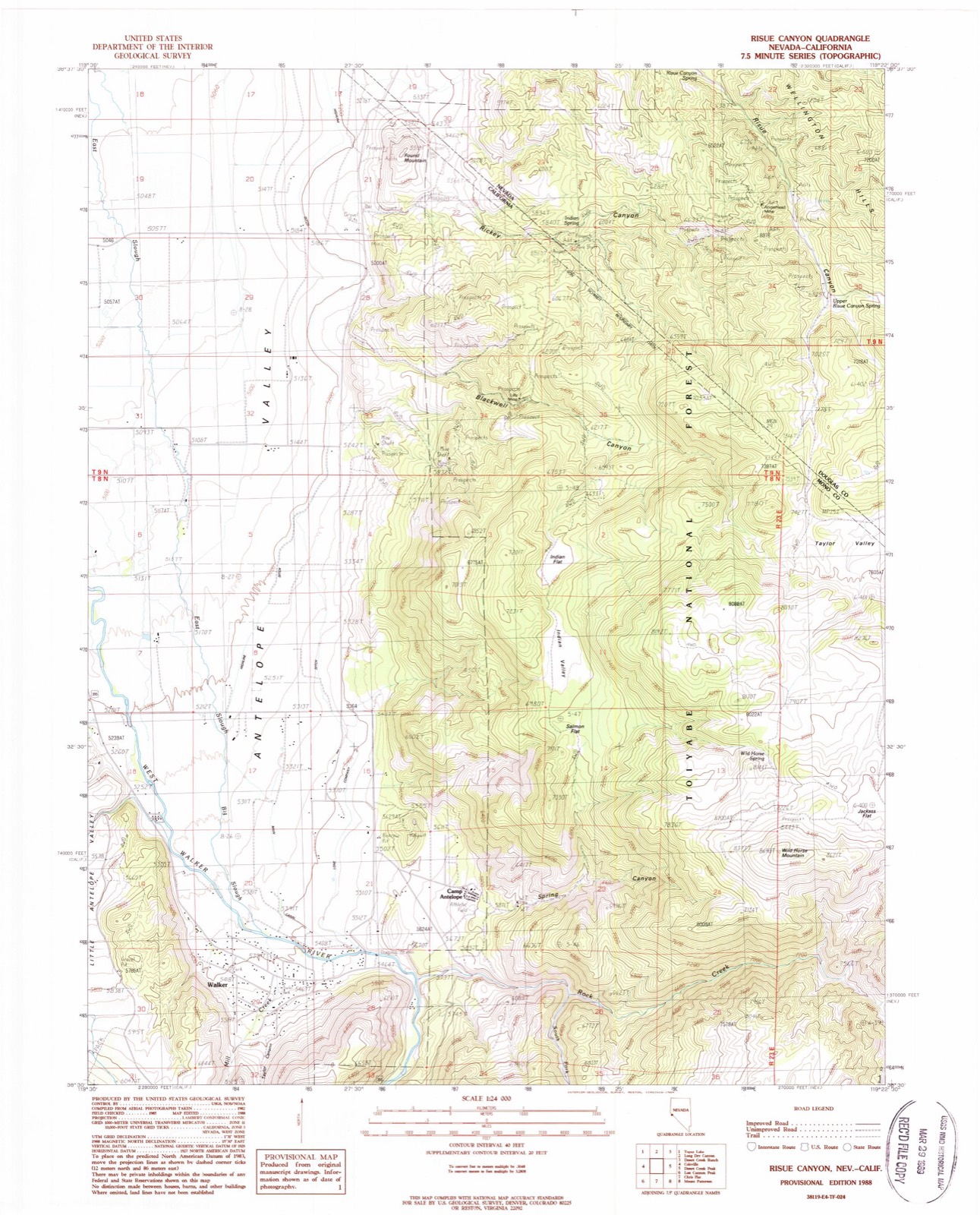
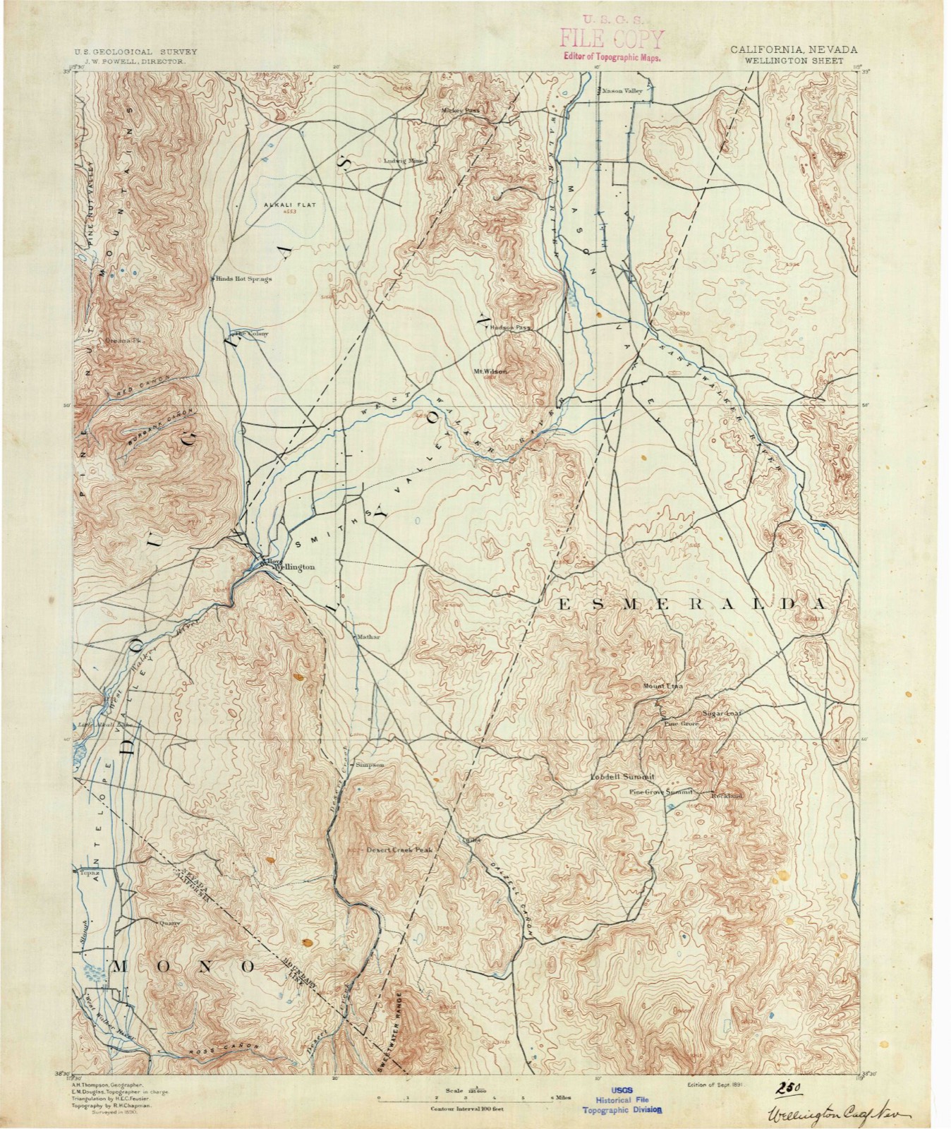
22 topographic sheets cover this place, the earliest surveyed in 1891 and the latest in 1988. It stands in the North Mono census division. It lies in ZIP code area 96107. It stands on Mill Creek. The Survey maps it on the Risue Canyon quadrangle. 704 people lived here at the 2020 count. It stands 5,404 feet above sea level.
Research this city
Then and now
1891 to 1988The same ground, surveyed 97 years apart. Drag the handle to wipe between them. Both sheets are United States Geological Survey originals; neither has been altered.
Population over time
2 figuresWalker fell from 721 to 704 between 2010 and 2020. These are the recorded population figures Wikidata holds for this place, reached through the Geographic Names Information System number this page is keyed on rather than by name, so they belong to this place and not to another of the same name. Most are census counts, but not all are: an early figure may be a founding or settlement estimate, and an estimate published within five years of a census is left out. The change column is computed, and is left blank where more than 20 years separate a figure from the one before it, because a gap that long is not a change between two counts.
| Year | People | Change |
|---|---|---|
| 2010 | 721 | |
| 2020 | 704 | -17 (-2%) |
Topographic sheets covering this place
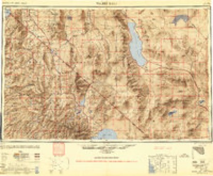
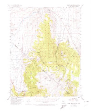
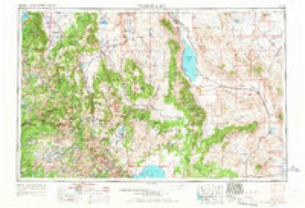
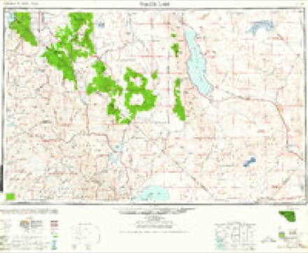
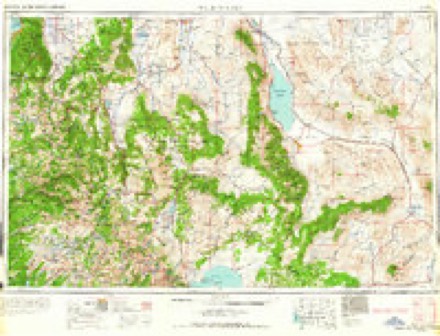
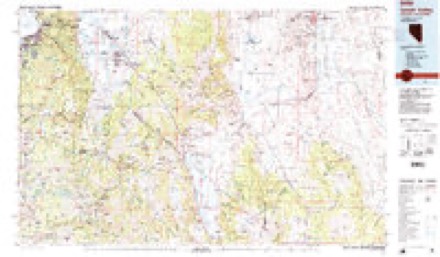
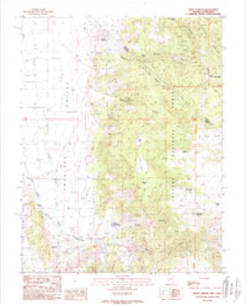
9 surveys from 22 printed sheetsMatched by testing this settlement's coordinate against the published boundary of every sheet in the United States Geological Survey's historical collection. Each opens the scanned sheet at the Survey.
- 1891 USGS Wellington quadrangle1:125000
- 1893 USGS Wellington quadrangle1:125000, 6 printings
- 1948 USGS Walker Lake quadrangle1:250000, 2 printings
- 1956 USGS Desert Creek Peak quadrangle1:62500, 3 printings
- 1957 USGS Walker Lake quadrangle1:250000, 4 printings
- 1962 USGS Walker Lake quadrangle1:250000
- 1964 USGS Walker Lake quadrangle1:250000, 2 printings
- 1985 USGS Smith Valley quadrangle1:100000, 2 printings
- 1988 USGS Risue Canyon quadrangle1:24000
Fires near this place
71 since 1992Regional context, not property-specific evidence. The federal wildfire occurrence database lists 71 fires within 5 miles of Walker between 1992 and 2020, burning about 28,934 acres in total. 45 started naturally. 2 were recorded as arson. Distance is straight-line from the map coordinates, so a fire counted here may appear on a neighbouring settlement's page as well.
| Reported cause | Fires |
|---|---|
| Natural | 45 |
| Missing data/not specified/undetermined | 11 |
| Debris and open burning | 5 |
| Recreation and ceremony | 4 |
| Equipment and vehicle use | 2 |
| Arson/incendiarism | 2 |
| Fireworks | 1 |
| Smoking | 1 |
The most recent of them, most recent first, with the day each was reported and the service that recorded it.
| Date | Cause | Size | Reported by | Name on the report |
|---|---|---|---|---|
| 24 September 1992 | Debris and open burning | under an acre | Humboldt-Toiyabe National Forest | not named |
| 22 September 2008 | Missing data/not specified/undetermined | under an acre | Central California District | HAY |
| 20 September 1996 | Recreation and ceremony | under an acre | Humboldt-Toiyabe National Forest | MOUNTAIN GATE |
| 19 September 1994 | Natural | under an acre | Humboldt-Toiyabe National Forest | USFS 074 |
| 12 September 2009 | Natural | under an acre | Humboldt-Toiyabe National Forest | ANTELOPE |
| 12 September 2009 | Natural | under an acre | Central California District | PATRICIA |
| 8 August 2001 | Natural | under an acre | Humboldt-Toiyabe National Forest | LITTLE ANTELOPE |
| 6 August 1997 | Natural | 33 acres | Humboldt-Toiyabe National Forest | CAMP |
Settlements close enough to share some of these fires:
Mines and quarries near this place
10 of 30 shownRegional context, not property-specific evidence. The federal mineral resources record lists 30 workings within 5 miles of Walker: 17 occurrences, 5 unknowns, 4 past producers, 3 prospects. 1 still produces. What was taken out: Tungsten, Molybdenum, Gold, Gold, Silver, Lead. Distance is straight-line from the map coordinates, so a quarry counted here may appear on a neighbouring settlement's page as well.
| Where | Site | Commodity | Status | Recorded |
|---|---|---|---|---|
| Al Mono Mine | Gold, Silver, Lead | Past Producer | ||
| Contact Mine | Silver, Lead | Prospect | ||
| Deposit | Barium-Barite | Occurrence | Barite | |
| Unknown | REE | Occurrence | ||
| Unknown | Magnesite | Occurrence | Magnetite | |
| Unknown | Gemstone | Occurrence | Tourmaline | |
| West Walker River Canyon | Uranium | Occurrence | ||
| Al Mono | Gold, Silver, Lead | Past Producer | Gold | |
| Al Mono Mine | Gold, Silver, Lead | Producer | ||
| Golden Gate | Gold, Tungsten | Past Producer | Gold, Pyrite, Scheelite |
Storms near this place
42 since 1997Regional context, not property-specific evidence. The National Weather Service names Walker in 42 storm reports between 1997 and 2025: 25 heavy rain, 7 debris flow, 2 funnel cloud, 2 hail. The reports record 1 injury. Each account below is quoted exactly as the forecast office filed it, from the NOAA Storm Events Database, and each date opens the federal record of that event.
| When | Event | Place named | Harm | What the report says |
|---|---|---|---|---|
| July 2019 | Lightning | Walker | 1 hurt | A mechanic working for a California Department of Transportation contractor was|struck by lightning on the afternoon of 25 July in Mono County. The incident happened at 1515PST at a maintenance yard at Sonora Junction. The mechanic had exited his pickup truck and lightning hit the truck and him. His injuries were not life-threatening according to the news report. |
| July 2021 | Debris Flow | Walker | $41,000 | Extensive road damage in the Golden Gate Canyon area west of Walker, CA in the Slink Fire burn area from heavy thunderstorm rainfall. Several large boulders were dislodged and entire hillsides were eroded way from heavy rains. Damage estimates unavailable. |
| May 2006 | Flood | Walker | $20,000 | no account filed |
| July 2006 | Flash Flood | Walker | $5,000 | Heavy rainfall caused flash flooding 5 miles east of Walker. Wildland firefighters reported that some livestock were lost. |
| July 2010 | Flash Flood | Walker | $1,000 | Desert Creek flows north out of the Sweetwater Mountains of eastern Mono County. The Desert Creek gauge along the creek indicated a rapid spike to near flood stage between 1900PST and 2200PST. Meanwhile, radar indicated over 2 inches of rainfall. This gauge, the heavy rainfall, and a report of flooding over Desert Creek Road in southern Lyon County indicated likely areas of flash flooding along creeks coming out of the Sweetwater Mountains. |
| February 2025 | Heavy Rain | Walker | - | A CocoRAHS station (CA-MN-8 Walker) located 2.0 mi ENE of Walker, CA, and AWOS station (KBAN-Bridgeport-MCMWTC) located 3.0 mi NE of Leavitt Meadows, CA, reported a total rainfall amount of 2.23 inches and 2.00 inches respectively. |
| May 2025 | Thunderstorm Wind | Walker | - | Peak outflow gust at Mill Canyon RAWS. |
| August 2025 | Heavy Rain | Walker | - | Over one inch of rainfall was reported at the Lobdell Lake SNOTEL. No flooding was observed. |
| August 2025 | Debris Flow | Walker | - | Local law enforcement reported a mudslide with a big-rig stuck on southbound Highway 395. |
| August 2024 | Heavy Rain | Walker | - | Mesonet station (LELC1-SNOTEL) located 3.7 mi S of Sonora Pass, CA, reported a 24 hour rainfall storm total of 0.50 inches. |
| July 2024 | Debris Flow | Walker | - | The public reported a debris flow located 5.0 mi SSE of Walker, CA, that included a small rockslide in the Walker Canyon due to heavy rainfall the day before in the area. |
| July 2024 | Debris Flow | Walker | - | Law enforcement reported mud, dirt , and rock around Lat/Lon: 38.388461, -119.452176 about 2.0 mi north of the Sonora junction of SR108/US-395. |
| January 2023 | Heavy Rain | Walker | - | Mesonet station (LOBC1-SNOTEL) located 8.4 mi S of Walker, CA and mesonet station (SRAC1-SNOTEL) located 2.0 mi SE of Sonora Pass, CA reported 24 hour heavy rainfall totals of 3.6 and 3.4 inches respectively during the period from 12/31/22 through 1/1/23. |
| November 2023 | Heavy Rain | Walker | - | A mesonet station (LELC1-SNOTEL) located 3.7 mi S of Sonora Pass, CA, a mesonet station (SDWC1-SNOTEL) located 5.4 mi N of Leavitt Meadows, CA, and mesonet station (LOBC1-SNOTEL) located 8.4 mi SE of Walker, CA, reported rainfall storm totals of 1.00 inch, 0.80 inches, and 0.50 inches respectively. |
| December 2023 | Heavy Rain | Walker | - | Mesonet stations (LVTC1) located 1.1 mi S of Leavitt Meadows, CA (SNOTEL), (LELC1) located 3.7 mi S of Sonora Pass, CA (SNOTEL), and (LOBC1) located 8.4 mi SE of Walker, CA (SNOTEL) reported 24hr rainfall storm totals of 1.1 inches, 1.0 inches, and 0.5 inches respectively. |
| August 2022 | Heavy Rain | Walker | - | Mesonet station (LVTC1) located 1.1 mi S of Leavitt Meadows (SNOTEL) reported 0.60 inches total rainfall. |
| August 2022 | Heavy Rain | Walker | - | AWOS station (KBAN) located at the Marine Corp Mountain Warfare Training Center (MCMWTC) reported heavy rainfall total of 1.49 inches. |
| December 2022 | Heavy Rain | Walker | - | Mesonet station (LOBC1-SNOTEL) located 8.4 mi S of Walker, CA, and mesonet station (SRAC1-SNOTEL) located 2.0 mi SE of Sonora Pass, CA reported 24 hour heavy rainfall totals of 3.6 and 3.4 inches respectively during the period from 12/31/22 through 1/1/23. |
| July 2021 | Debris Flow | Walker | - | CHP reported mud and debris flooding across the road at Highway 395 and Sonora Junction (Highway 108). |
| July 2021 | Heavy Rain | Walker | - | Post fire weather station reported 0.91 inches of rain during the days thunderstorms. |
| January 2019 | Heavy Rain | Walker | - | ASOS BAN, 3 miles north-northeast of Leavitt Meadows reported 1.57 inches of rainfall in a 24 hour period from 16 January 0352PST to 17 January 0352PST. |
| May 2019 | Flood | Walker | - | Local Law Enforcement reported some minor roadway flooding across US Highway 395 near Bootleg Campground due to heavy rain. The campground is located in the Boot Fire scar. No damage information was available. |
| June 2019 | Hail | Walker | - | California Highway Patrol reported that approximately 20 cars were stuck over Sonora Pass due to accumulating hail a few inches deep at approximately 16 June 1530PST. The pass was closed overnight due to the incident. |
| July 2019 | Heavy Rain | Walker | - | RAWS, 3 miles east of Coleville (elevation 5440 feet) reported 0.54 inches of rainfall in a 4-hour period from 25 July 1448PST to 1848PST. |
| December 2019 | Heavy Rain | Walker | - | SNOTEL station LELC1 at Leavitt Lake reported 4.50 inches of rainfall in a 48-hour period from 1 December 0000PST to 2 December 2359PST. Station elevation of 9602 ft MSL. |
| July 2018 | Heavy Rain | Walker | - | Mesonet station SRAC1, Sonora Pass (elevation 8772 feet) reported 0.70 inches of rainfall in a 24-hour period from 13 July 2000PST to 14 July 2000PST. |
| March 2018 | Heavy Rain | Walker | - | Mesonet station LOBC1, 8 miles southeast of Walker reported 0.80 inches of rain from 13 March 1700PST to 14 March 0400PST. |
| March 2018 | Heavy Rain | Walker | - | Mesonet station SRAC1, Sonora Pass reported 1.00 inch of rain from 13 March 0900PST to 14 March 0400PST. |
| March 2018 | Heavy Rain | Walker | - | Mesonet station SRAC1, Sonora Pass reported 1.00 inch of rain from 13 March 0900PST to 14 March 0400PST. |
| July 2018 | Heavy Rain | Walker | - | NRAWS 13, located within the Slinkard Fire burn scar (elevation 7451 feet) reported 1.09 inches of rainfall in just over a 5-hour period from 20 July 1207PST to 1722PST. |
| March 2018 | Heavy Rain | Walker | - | Mesonet station LVTC1, Leavitt Meadows reported 5.20 inches of storm total rainfall from 20 March 0600PST to 23 March 0600PST. |
| March 2018 | Heavy Rain | Walker | - | Mesonet station LELC1, 3 miles south-southeast of Sonora Pass reported 1.50 inches of storm total rainfall from 20 March 0600PST to 23 March 0600PST. |
| April 2018 | Heavy Rain | Walker | - | Mesonet station SRAC1, Sonora Pass (elevation 8772 feet) reported 2.30 inches of rainfall in a 24 hour period from 6 April 0900PST to 7 April 0900PST. |
| April 2018 | Heavy Rain | Walker | - | Mesonet station LVTC1, Leavitt Meadows (elevation 7197 feet) reported 1.60 inches of rainfall during a 24 hour time period from 6 April 0900PST to 7 April 0900PST. |
| July 2018 | Debris Flow | Walker | - | California Highway Patrol reported a debris flow containing trees and boulders crossing California Highway 89 below Monitor Pass. A series of thunderstorms moved over the Slinkard Fire burn scar and produced 0.26 inches of rainfall in just over a 2-hour period from 21 July 1337PST to 1552PST at the RAWS located within the burn scar. Over an inch of rain fell on the burn scar the two days prior to the debris flow, which saturated the soil. No damage/cleanup estimates were available. |
| May 2018 | Heavy Rain | Walker | - | Portable RAWS NCRC1, 1 mile west-northwest of Topaz Lake (elevation 7451 feet) reported 0.27 inches of rainfall in 15 minutes from 21 May 1652PST to 1727PST, just before two debris flows were reported beneath the Slinkard Fire burn scar. A total of 0.90 inches of rainfall was reported in a two and a half hour time period from 21 May 1652PST to 1922PST. |
| May 2018 | Debris Flow | Walker | - | A collapsing core within a thunderstorm produced heavy rainfall over the Slinkard burn scar west of Topaz Lake, Nevada, which caused two pronounced debris flows off the burn scar onto U.S. Highway 395 near the California/Nevada state line. The debris flows were up to 5 feet deep in a few places and closed the highway for over 18 hours while crews removed the flow. The portable RAWS site above the Slinkard Fire burn scar (NCRC1; elevation 7451 feet) recorded 0.27 inches of rainfall in 15 minutes at the time two debris flows were reported (21 May 1727PST). A total of 0.90 inches of rainfall eventually fell on the burn scar in a two and a half hour time period from 21 May 1652PST to 1922PST. No cleanup estimates were available from the California Department of Transportation. |
| July 2004 | Heavy Rain | Walker | - | A total of 1.00 inch of rain fell in an hour in Coleville. |
| August 1999 | Funnel Cloud | Walker | - | A spotter reported a funnel cloud southwest of the town of Walker. |
| September 1997 | Funnel Cloud | Walker | - | A weather spotter reported a funnel cloud 10 miles southeast of Walker over the Sweetwater Mountains. The funnel cloud dissipated after about five minutes. |
| July 2004 | Hail | Walker | - | no account filed |
| August 2001 | Heavy Rain | Walker | - | no account filed |
Nearest settlements
The eight closest, with where each one stands in the county. Distances are straight-line, computed from the Geographic Names Information System coordinates.
| Map | Place | Distance | Sheets |
|---|---|---|---|
| Coleville | 3.9 miles | 28 | |
| Topaz | 7.5 miles | 28 | |
| Sonora Junction | 11.6 miles | 28 | |
| Fales Hot Springs | 12.0 miles | 28 | |
| Belfort | 13.0 miles | 26 | |
| Lower Town | 21.5 miles | 25 | |
| Upper Town | 22.0 miles | 25 | |
| Bridgeport | 22.1 miles | 24 |
Elsewhere
Matched on this settlement's Geographic Names Information System number rather than its name, so it cannot be a different place of the same name in another state.
| Wikipedia article on Walker | An encyclopaedic summary. Its text is share-alike, so it is linked here rather than copied. |
| Wikidata item Q4017799 | The structured record the population and elevation above come from. Public domain (CC0). |
Provenance
This settlement is recorded in the Geographic Names Information System as feature 251928. The sheet list is computed by point-in-boundary test against the United States Geological Survey's historical topographic inventory. Both are works of the United States government and carry no copyright under 17 U.S.C. 105.
Wildfire. Short, Karen C. 2022. Spatial wildfire occurrence data for the United States, 1992-2020 [FPA_FOD_20221014]. 6th Edition. Fort Collins, CO: Forest Service Research Data Archive. https://doi.org/10.2737/RDS-2013-0009.6 Collected with United States Government funding and usable without additional permissions or fees.
Mines and quarries. USGS Mineral Resources Data System (MRDS) https://mrdata.usgs.gov/mrds/ A work of the United States government, no copyright under 17 U.S.C. 105.
Storms. NOAA National Centers for Environmental Information, Storm Events Database https://www.ncei.noaa.gov/stormevents/ A work of the United States government, no copyright under 17 U.S.C. 105. Narratives are quoted verbatim from the National Weather Service report and are not edited or summarised.