Block
BlockFrom the record
One of 98 National Register listings published here for San Bernardino County · listed in 2009 · category: Building.
Sources: the case file at the National Archives · the National Register database, National Park Service
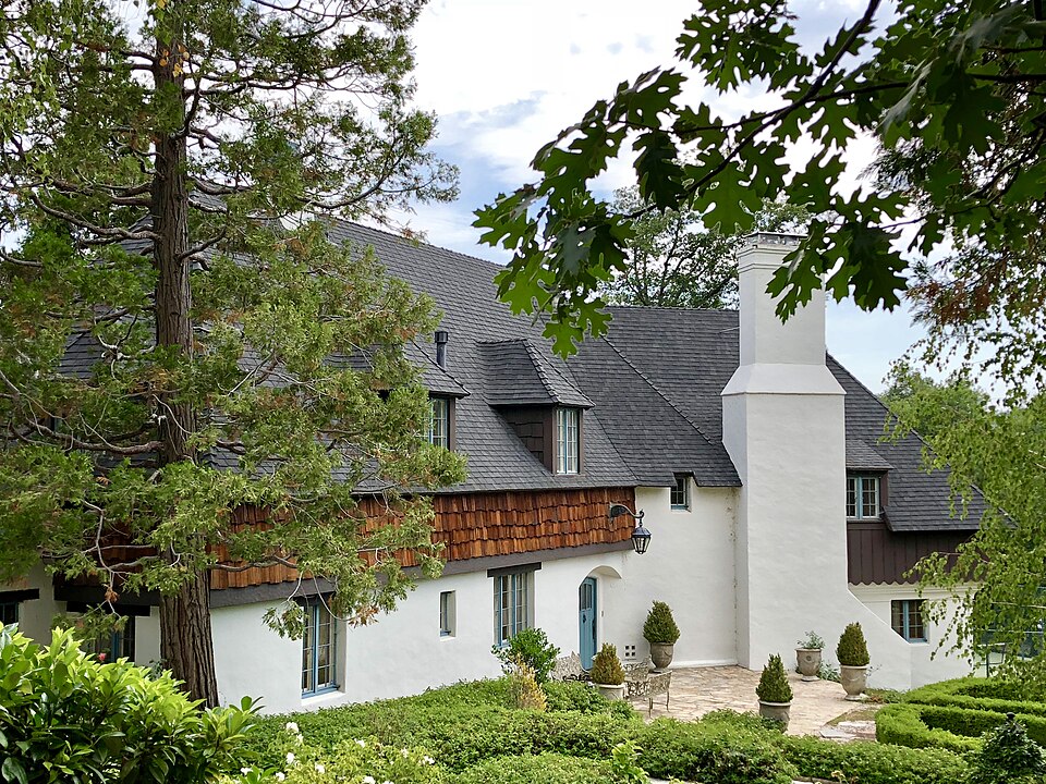
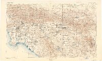
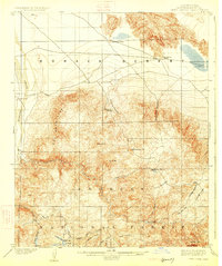
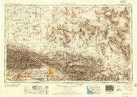
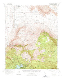
Listed on the National Register of Historic Places in 2009. 13 historic topographic surveys show this location, the earliest from 1901.
One of 98 National Register listings published here for San Bernardino County · listed in 2009 · category: Building.
Sources: the case file at the National Archives · the National Register database, National Park Service
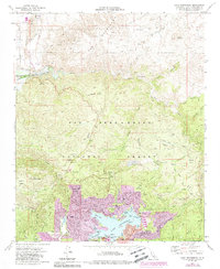
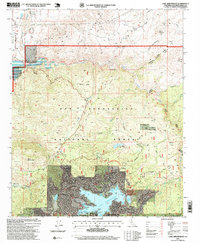
The ground this property stands on, surveyed 95 years apart. Drag the handle to wipe between them. Both sheets are United States Geological Survey originals; neither has been altered.
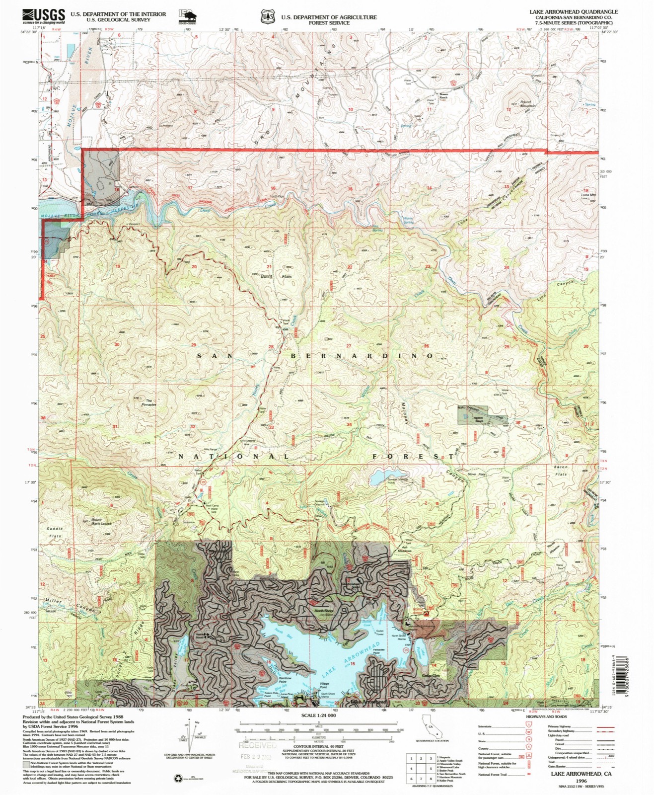
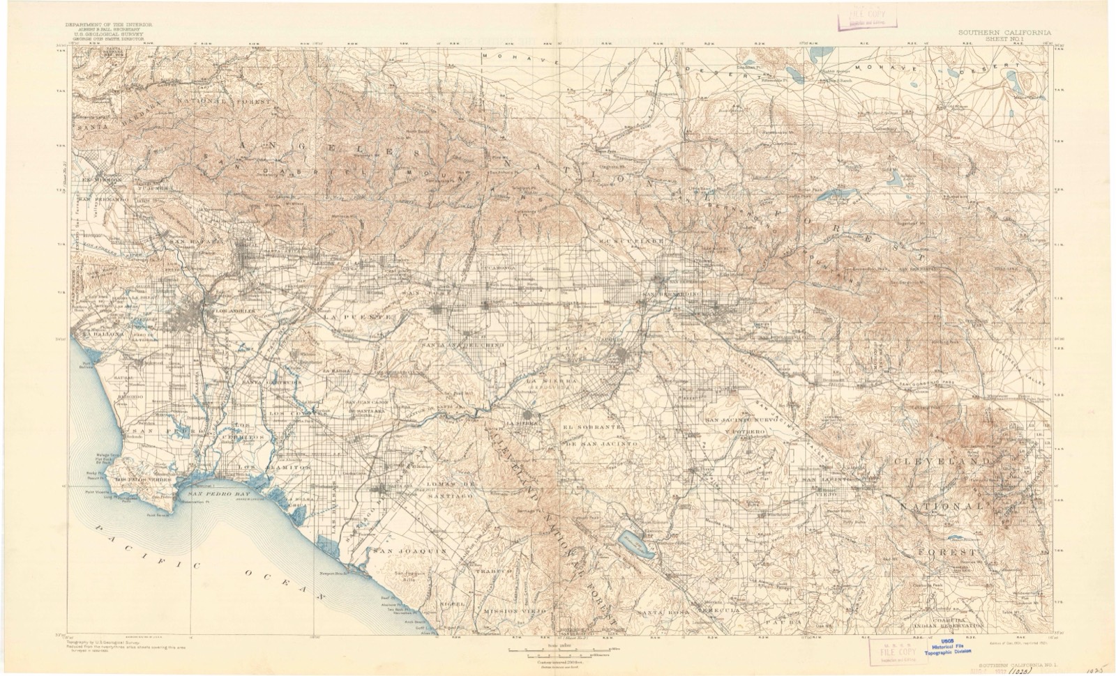
Regional context, not property-specific evidence. The federal wildfire occurrence database lists 471 fires within 5 miles of Shady Point between 1992 and 2020, burning about 83,425 acres in total. 44 started naturally. 21 were recorded as arson. Distance is straight-line from the map coordinates, so a fire counted here may appear on a neighbouring settlement's page as well.
| Reported cause | Fires |
|---|---|
| Missing data/not specified/undetermined | 202 |
| Natural | 44 |
| Equipment and vehicle use | 41 |
| Misuse of fire by a minor | 41 |
| Other causes | 39 |
| Recreation and ceremony | 35 |
| Smoking | 27 |
| Arson/incendiarism | 21 |
| Power generation/transmission/distribution | 11 |
| Debris and open burning | 7 |
| Fireworks | 3 |
The most recent of them, most recent first, with the day each was reported and the service that recorded it.
| Date | Cause | Size | Reported by | Name on the report |
|---|---|---|---|---|
| 9 September 2018 | Missing data/not specified/undetermined | under an acre | California Department of Forestry & Fire Protection | EMERALD |
| 9 September 2017 | Missing data/not specified/undetermined | under an acre | California Department of Forestry & Fire Protection | FERN DR TWIN_PEAKS |
| 9 September 2012 | Natural | under an acre | San Bernardino National Forest | DEEP |
| 9 September 2009 | Arson/incendiarism | under an acre | San Bernardino National Forest | SHORE |
| 9 September 2009 | Missing data/not specified/undetermined | under an acre | San Bernardino Unit | not named |
| 8 September 2010 | Missing data/not specified/undetermined | under an acre | San Bernardino National Forest | SEELEY |
| 8 September 1999 | Other causes | 1.0 acres | San Bernardino National Forest | SPYGLASS |
| 7 September 2014 | Recreation and ceremony | under an acre | San Bernardino National Forest | TORREY |
Regional context, not property-specific evidence. The federal mineral resources record lists 5 workings within 5 miles of Shady Point: 2 past producers, 1 unknown, 1 occurrence, 1 prospect. None of them still produces. What was taken out: Gold, Feldspar, Mica, Silica, Granite. Distance is straight-line from the map coordinates, so a quarry counted here may appear on a neighbouring settlement's page as well.
| Where | Site | Commodity | Status | Recorded |
|---|---|---|---|---|
| Bossard Nos. 1-24 | Gold, Beryllium, REE | Prospect | ||
| Carmine Claim | Granite | Unknown | ||
| Heaps Peak Quarry | Stone, Crushed/Broken | Past Producer | ||
| Keystone and Lucky Jim | Feldspar, Mica, Silica | Past Producer | ||
| Discovery | Gold | Occurrence |
Regional context, not property-specific evidence. The National Weather Service names Lake Arrowhead, the town this property stands in, in 24 storm reports between 1999 and 2025: 9 flash flood, 6 heavy rain, 4 wildfire, 2 flood. The reports record 2 deaths and 10 injuries. Each account below is quoted exactly as the forecast office filed it, from the NOAA Storm Events Database, and each date opens the federal record of that event.
| When | Event | Place named | Harm | What the report says |
|---|---|---|---|---|
| February 2000 | Heavy Rain | Lake Arrowhead | 2 killed, 3 hurt, $400,000 | no account filed |
| August 1999 | Wildfire | Lake Arrowhead | 6 hurt, $2,000,000 | no account filed |
| January 2000 | Wildfire | Lake Arrowhead | 1 hurt, $30,000 | no account filed |
| January 2005 | Flash Flood | Lake Arrowhead | $1,700,000 | no account filed |
| January 2005 | Flash Flood | Lake Arrowhead | $500,000 | no account filed |
| February 2004 | Flash Flood | Lake Arrowhead | $30,000 | no account filed |
| October 2000 | Wildfire | Lake Arrowhead | $30,000 | no account filed |
| July 2001 | Flood | Lake Arrowhead | $20,000 | no account filed |
| July 2018 | Lightning | Lake Arrowhead | $10,000 | Two cloud-to-ground strikes occurred outside of a rain shaft. Highway Patrol reported brush fire start just west of Lake Arrowhead. Other strikes were detected just to the east and also outside of the main rain shaft near Big Bear Lake. |
| October 2021 | Debris Flow | Lake Arrowhead | $5,000 | Hospital Road and State Route 173 roadway damage reported from heavy rain. 1.18 inches rainfall in 3 hours reported nearby. |
| February 2006 | Flash Flood | Lake Arrowhead | $5,000 | Heavy rain caused mud and rocks to wash across highway 18 between Lake Gregory Rd and Bailey Rd. |
| January 2005 | Flash Flood | Lake Arrowhead | $5,000 | no account filed |
| January 2005 | Flash Flood | Lake Arrowhead | $1,000 | no account filed |
| February 2025 | Heavy Rain | Lake Arrowhead | - | A report taken from Lake arrowhead at 5200 feet had 6.96 inches of total rainfall. |
| February 2025 | Heavy Rain | Lake Arrowhead | - | Mesonet station CGLC1 2.9 N Running Springs reported a total precipitation of 6.38 inches. |
| January 2023 | Flood | Lake Arrowhead | - | The Department of Highways reported water flowing over Highway 173 at Arrowhead Lake Road, with a vehicle stuck in the floodwaters. The area had received 4.99 inch of rain in the previous 24 hours, with rainfall totals of 5.83 inches for the event. |
| October 2022 | Heavy Rain | Lake Arrowhead | - | Heavy rain from thunderstorms occurred across the San Bernardino County Mountains on October 11. The following are measured rainfall from the region:||Mesonet station YUCC1 Yucaipa Ridge measured rainfall of 1.62 inch.|Mesonet station CAGC1 measured rainfall of 0.87 inch.||In addition, a trained spotter reported 1.44 inch of rain as well as minor hail accumulation on roadways near Lake Arrowhead. |
| September 2022 | Flash Flood | Lake Arrowhead | - | Heavy rain associated with residual moisture from post-tropical cyclone Kay occurred during the afternoon on September 12 in the San Bernardino County Mountains. Rain amounts of 1.5 to 3 inches occurred in the region. The Department of Highways reported a flash flood near Crestline, with multiple vehicles stuck in flood water on Lake Drive at Forest Shade Drive. The following are measured rain amounts from various Mesonet sites:||Mesonet Station FW1313, 1 WNW Running Springs: 3.58 inch.|Strawberry Peak, 3 WSW Lake Arrowhead: 2.88 inch.|Heaps Peak RAWS, 3 NW Running Springs: 2.68 inch.|Mesonet Station CRQC1, 1 SSW Lake Arrowhead: 1.74 inch.|Mesonet Station PPOC1 Panorama Point, 2 SSW Crestline: 1.66 inch.|Mesonet Station FW0025 Lake Arrowhead South, 1 SE Lake Arrowhead: 1.52 inch. |
| October 2021 | Heavy Rain | Lake Arrowhead | - | Heavy rain occurred across the area with storm totals mainly 1 to 2 inches. The Lake Arrowhead area received the highest amounts, with stations reporting over 2.5 inches of rain in total. The Lytle creek and Lake Arrowhead areas received some impressive rainfall rates, some measuring near 0.85 inches of rain in one hour. |
| November 2014 | Lightning | Lake Arrowhead | - | Lightning on the 17th eventually ignited the Strawberry Fire just southwest of Lake Arrowhead, with the aid of offshore winds. |
| March 2012 | Heavy Rain | Lake Arrowhead | - | Several rock and mud slides on Highway 18 between Lake Gregory and Running Springs due to heavy rain throughout the afternoon and evening. |
| January 2005 | Flash Flood | Lake Arrowhead | - | no account filed |
| August 2005 | Flash Flood | Lake Arrowhead | - | no account filed |
| August 2001 | Wildfire | Lake Arrowhead | - | no account filed |
United States Geological Survey topographic sheets whose coverage includes this point. Matched by taking the coordinate the National Park Service records for this property, then testing that coordinate against the published boundary of every sheet.
| National Archives record | The nomination case file for reference 09000804 in Record Group 79. |
| San Bernardino County | All 98 listed properties in this county. |