BlockBefore

Davis Mill

Listed on the National Register of Historic Places in 2010. 14 historic topographic surveys show this location, the earliest from 1891.

From the record

“The Davis Mill is a historic stamp mill located off of North Bloomfield Road northeast of Nevada City, California. The mill served the Randolph Mine, a small gold mine run by the Davis family, from 1915 to 1940.”

Wikipedia article Davis Mill (Nevada City, California), CC BY-SA 4.0.

One of 22 National Register listings published here for Nevada County · listed in 2010 · category: Building.

Sources: the Wikipedia article · the case file at the National Archives · the National Register database, National Park Service · the Wikipedia article
The listing

  • What is counted as historic. The nomination lists 1 building as contributing to the listing.
  • Address. off North Bloomfield Road; 3 miles NE of Nevada City, Nevada City, 95959
  • When was it listed? April 2010
  • Category. building
  • Census division. Nevada City
  • National Register reference number. 10000157 - the number the National Park Service assigned this property when it was listed, and the key its nomination file is catalogued under at the National Archives.

Then and now

1891 to 2000

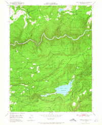
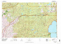
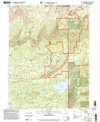
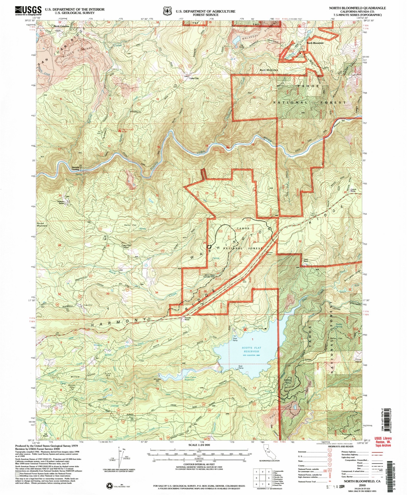
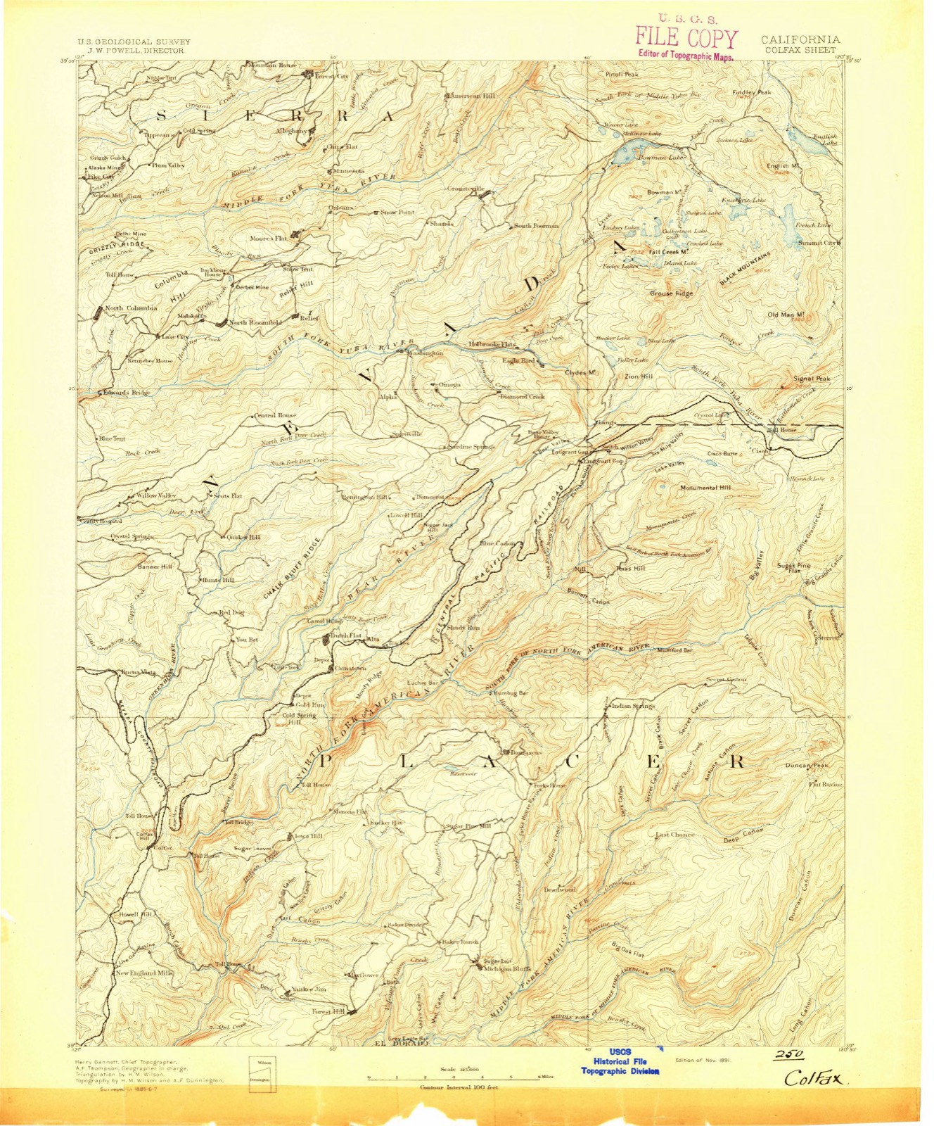
The ground this property stands on, surveyed 109 years apart. Drag the handle to wipe between them. Both sheets are United States Geological Survey originals; neither has been altered.

Topographic sheet covering Davis Mill, surveyed 2000
Topographic sheet covering Davis Mill, surveyed 1891

Fires near this property

491 since 1992

Regional context, not property-specific evidence. The federal wildfire occurrence database lists 491 fires within 5 miles of Davis Mill between 1992 and 2020, burning about 461 acres in total. 8 started naturally. 28 were recorded as arson. Distance is straight-line from the map coordinates, so a fire counted here may appear on a neighbouring settlement's page as well.

Reported cause Fires
Missing data/not specified/undetermined185
Debris and open burning117
Equipment and vehicle use80
Arson/incendiarism28
Misuse of fire by a minor21
Recreation and ceremony21
Smoking15
Power generation/transmission/distribution13
Natural8
Other causes3

The most recent of them, most recent first, with the day each was reported and the service that recorded it.

DateCause SizeReported by Name on the report
8 September 2007Missing data/not specified/undetermined1.0 acresCentral California DistrictUNNAMED FIRE 1886
7 September 2019Equipment and vehicle useunder an acreNevada-Yuba-Placer Unit5 MILE
7 September 2014Missing data/not specified/undetermined8.0 acresNevada-Yuba-Placer UnitPASQUALE
7 September 2006Missing data/not specified/undetermined12 acresCentral California DistrictPURDON
6 September 2009Missing data/not specified/undeterminedunder an acreCalifornia Department of Forestry & Fire Protectionnot named
5 September 2008Missing data/not specified/undetermined9.0 acresNevada-Yuba-Placer UnitCANYON
5 September 1999Arson/incendiarismunder an acreTahoe National ForestGRAVE
5 September 1994Equipment and vehicle useunder an acreNevada-Yuba-Placer UnitINSLEY

Every fire recorded in Nevada County

Mines and quarries near this property

10 of 530 shown

Regional context, not property-specific evidence. The federal mineral resources record lists 530 workings within 5 miles of Davis Mill: 223 past producers, 205 occurrences, 91 unknowns, 7 producers. 7 still produce. What was taken out: Gold, Chromium, Copper, Silver. Distance is straight-line from the map coordinates, so a quarry counted here may appear on a neighbouring settlement's page as well.

Where SiteCommodity StatusRecorded
Banner and CentralGold, Copper, Silver, Lead, TungstenPast ProducerGold
Canada HillGold, Silver, Copper, Zinc, Lead, Antimony, Arsenic, TinPast ProducerChalcopyrite, Galena, Gold, Pyrite, Sphalerite, Stibnite
Champion Con QtzGold, Silver, Copper, Lead, ZincPast ProducerUnderground
Gold HillGold, Copper, Lead, ZincPast ProducerChalcopyrite, Galena, Gold, Pyrite, Sphalerite
HusseyCopper, Lead, Silver, GoldPast Producer
MountaineerGold, Silver, Lead, Zinc, CopperPast ProducerChalcopyrite, Gold, Pyrite
MurchieGold, Lead, Copper, Silver, ZincPast ProducerGalena, Gold, Pyrite, Sphalerite
Murchie MineGold, Copper, Lead, Silver, ZincPast Producer
NationalGold, Lead, Zinc, Copper, ArsenicPast ProducerGold
North Banner CoGold, Lead, Molybdenum, SilverUnknown

Every working recorded in Nevada County

Storms near this property

9 since 2013

Regional context, not property-specific evidence. The National Weather Service names Nevada City, the town this property stands in, in 9 storm reports between 2013 and 2025: 5 flood, 3 heavy rain, 1 thunderstorm wind. No death or injury is recorded in these reports. Each account below is quoted exactly as the forecast office filed it, from the NOAA Storm Events Database, and each date opens the federal record of that event.

WhenEvent Place namedHarm What the report says
February 2017FloodNevada City$3,560,000HWY 49 was closed north of Nevada City, from Newtown Rd. to Tyler Foote Rd. due to multiple slip outs.
December 2016FloodNevada City$30,000Roadway flooding was reported in Nevada County as creeks went over their banks. This also included flooding into a downtown Nevada City garage and into residential backyards.
February 2023Thunderstorm WindNevada City$10,000A power outage in Nevada City affected 1,278 customers on the east side of Hwy 20 and another 54 on Cement Hill.
December 2025FloodNevada City-California Highway Patrol reported a mud and rock slide on N Bloomfield Road between Wet Hill and Highway 49 from heavy rain.
February 2024FloodNevada City-California Highway Patrol reported completely flooded roads along Highway 49 northbound at State Route 20.
September 2019Heavy RainNevada City-The public reported mud and rocks in the roadway on highway 49 between Nevada City on the South Yuba River. Time is estimated by radar.
September 2019FloodNevada City-The local news paper reported that multiple members of the public were sending in reports of localized street flooding in Nevada City. This particular point does not necessarily reflect the exact location of flooding and the time of this report is based on radar and observations.
December 2016Heavy RainNevada City-An emergency manager in Nevada City reported heavy rain, 7.26 over 24 hours.
September 2013Heavy RainNevada City-Showers developed in a southwest to northeast line from southwest of Stockton area to northeast of Quincy. Trained spotters reported 1.50 of heavy rainfall as convective showers trained over the area all day long on Sept 2nd. Flooding was reported at 10:43 am PST along Highway 49 in Alta Sierra. Flooding was also reported at 10:46 am PST along Highways 49 and 20 in Nevada City. Rain continued through the early morning Sept. 3rd.

Every storm recorded in Nevada County

Maps showing this location

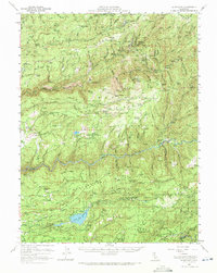
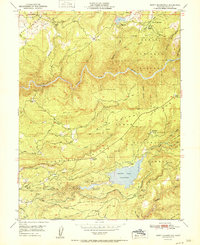
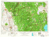
14 surveys

United States Geological Survey topographic sheets whose coverage includes this point. Matched by taking the coordinate the National Park Service records for this property, then testing that coordinate against the published boundary of every sheet.

Listed places nearby

6 within 8 miles

Other National Register properties close enough to walk or drive between, ordered by distance from this one. Both positions come from the same geocoding pass that matched these properties to their map sheets.

Photograph PropertyDistance Listed
Martin Luther Marsh House1.9 miles1973
Nevada City Free Public Library2.3 miles1990
Ott's Assay Office2.4 miles1975
Nevada Brewery2.4 miles1985
Nevada City Downtown Historic District2.4 miles1985
National Exchange Hotel2.5 miles1973

Sources for this property

National Archives recordThe nomination case file for reference 10000157 in Record Group 79.
Wikipedia articleCommunity-written account of this property, licensed CC BY-SA.
Nevada CountyAll 22 listed properties in this county.

Provenance

  • Listing record. National Park Service National Register of Historic Places, listed-properties dataset, current to 2026-05-22.
  • Map join. Address geocoded through the United States Census geocoder, then tested against the published boundary of every sheet in the USGS Historical Topographic Map Collection.
  • How this page is made. Listing fields come from federal records; map-sheet coverage is a labelled coordinate-to-boundary calculation, not a source-field claim.
  • Wildfire. Short, Karen C. 2022. Spatial wildfire occurrence data for the United States, 1992-2020 [FPA_FOD_20221014]. 6th Edition. Fort Collins, CO: Forest Service Research Data Archive. https://doi.org/10.2737/RDS-2013-0009.6 Collected with United States Government funding and usable without additional permissions or fees.
  • Mines and quarries. USGS Mineral Resources Data System (MRDS) https://mrdata.usgs.gov/mrds/ A work of the United States government, no copyright under 17 U.S.C. 105.
  • Storms. NOAA National Centers for Environmental Information, Storm Events Database https://www.ncei.noaa.gov/stormevents/ A work of the United States government, no copyright under 17 U.S.C. 105. Narratives are quoted verbatim from the National Weather Service report and are not edited or summarised.