California within the United StatesNevada County within California
Explore by year
What the record shows
5 places in this county were surveyed for fire insurance: Grass Valley, Nevada City, Truckee, Floriston, North Bloomfield, between 1885 and 1948.
18 fire insurance atlases survive for the county. Topographic coverage is national; fire insurance survey reached only incorporated places with something worth insuring.
4,480 topographic sheet readings cover the county's settlements.
22 properties here are on the National Register of Historic Places: 14 buildings, 4 districts, 2 structures and 2 sites.
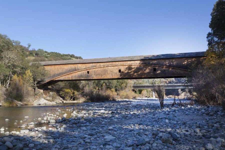
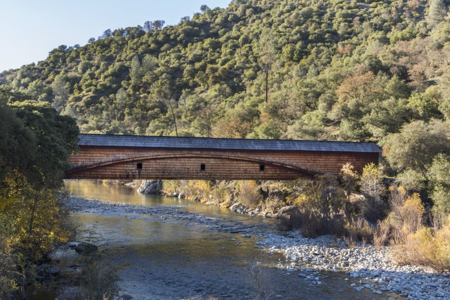
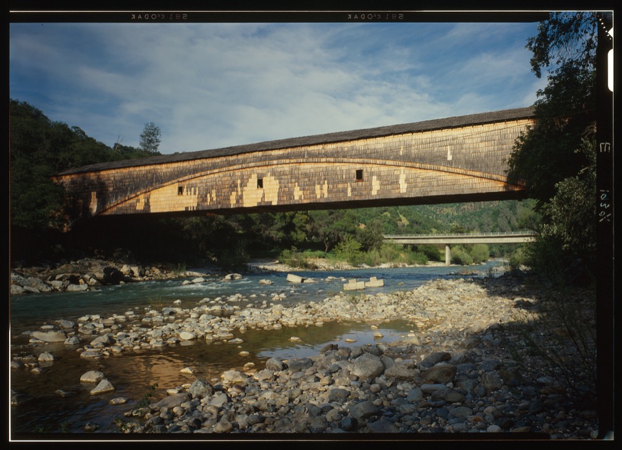
1 of them is a covered bridge.
9 of the 22 listings were added during the 1970s.
The Geographic Names Information System records 144 populated places in this county; 144 are covered by at least one topographic sheet.
What happened here
1 accounts
Among them: The Hungry Convention At Geass Valley Ey Old Block. These passages come from the
identified county-history source books. Each inset names its own source
and opens the exact section it comes from.
The Hungry Convention At Geass Valley Ey Old Block
The winter of 1852-53 was very severe. The roads, being new, were at times impassable on account of mud, the sloughs were full of water and unbridged, and at one time, a period of ten days elapsed when communication between the mines of Nevada county and Sacramento City was totally suspended. In consequence of this forced non-intercourse, provisions and supplies failed to arrive, while the stocks on hand, of the merchants, were dwindling down "to the shortest pan," and anxiety was manifested on all hands for future supplies, provisions advanced to nearly starving prices.
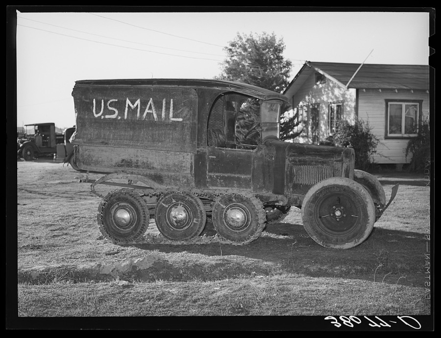
Taken for the Office of War Information and
the Farm Security Administration, who photographed the country between
1935 and 1944. Works of United States government photographers, with no
known restriction on use. Each opens its catalogue record.
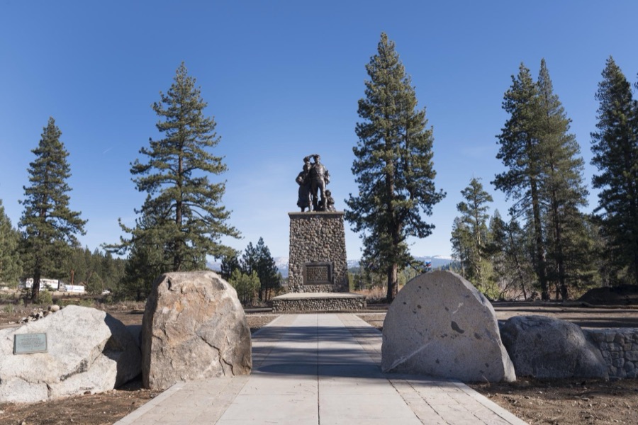
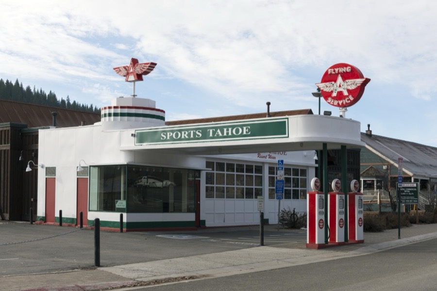
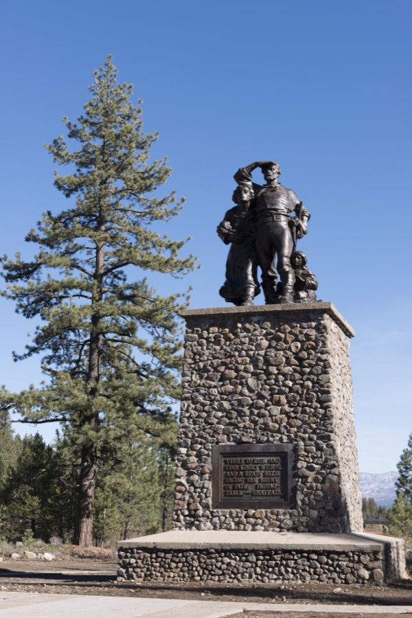
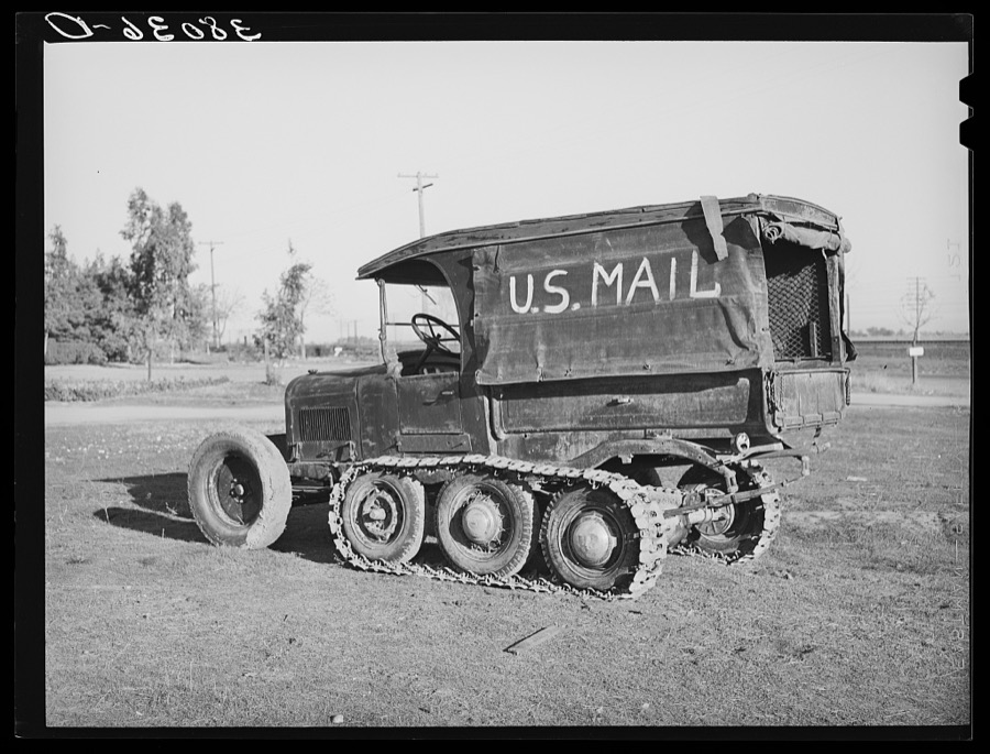
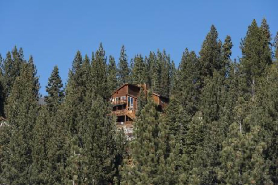
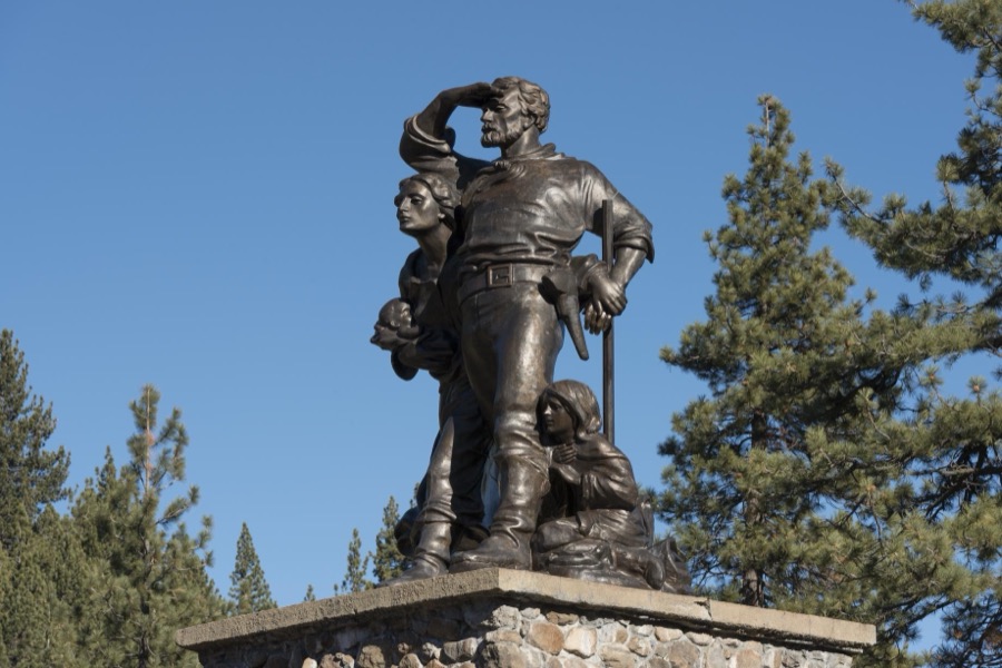
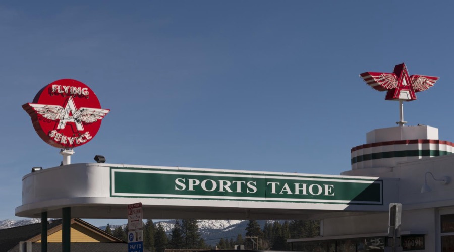
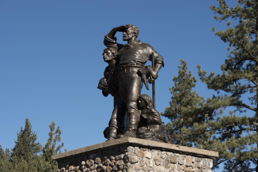
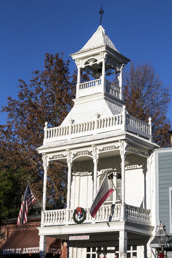
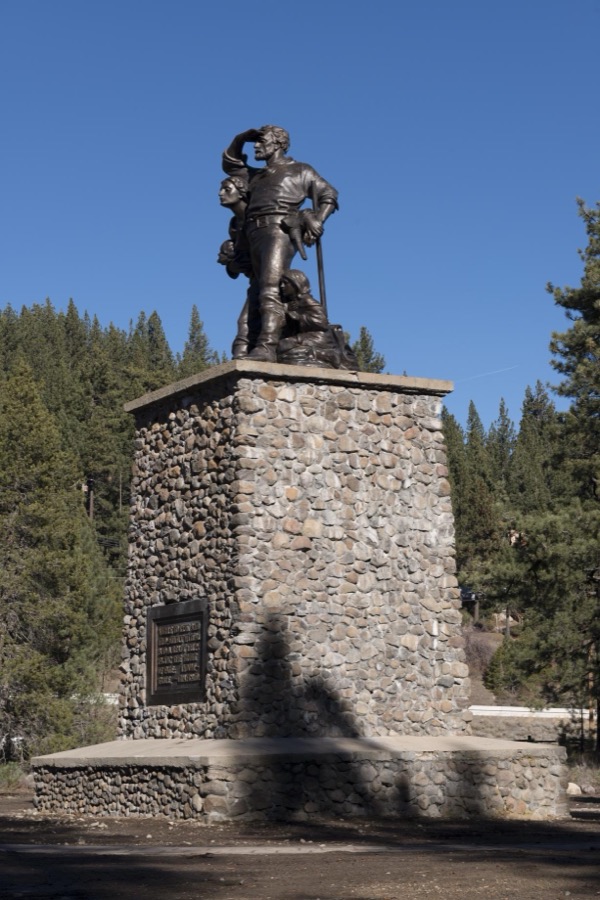
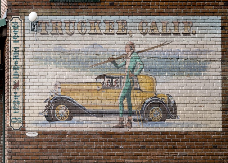
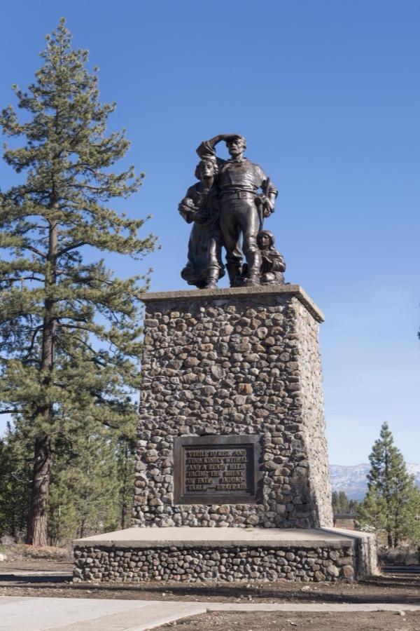
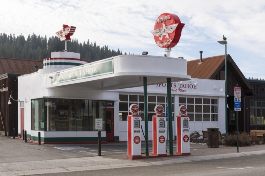
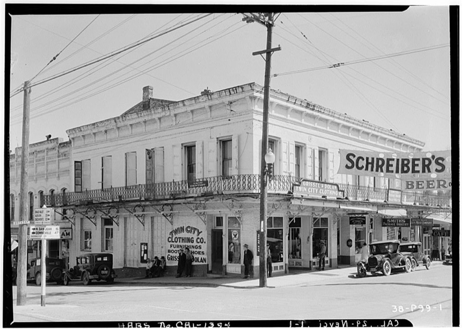
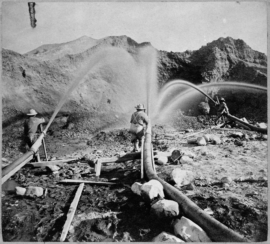
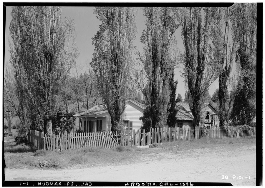
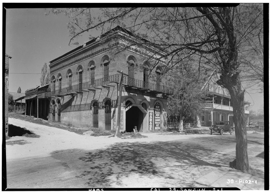
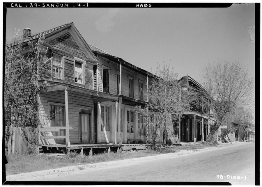
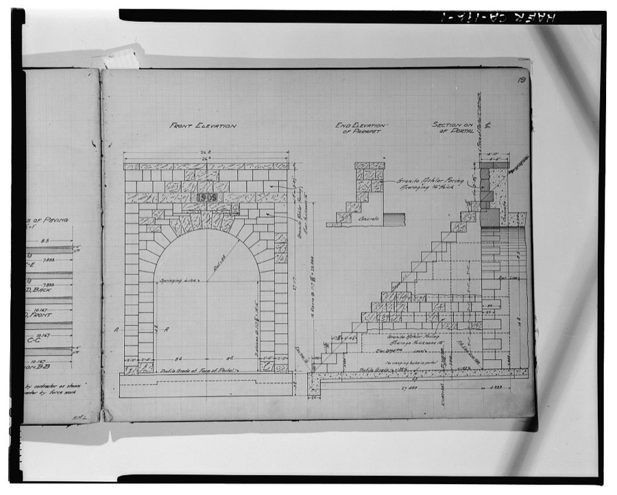
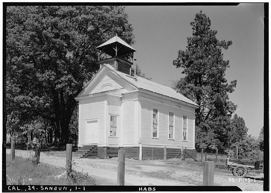
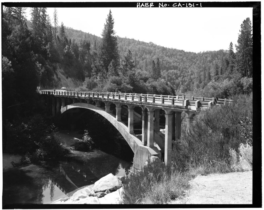
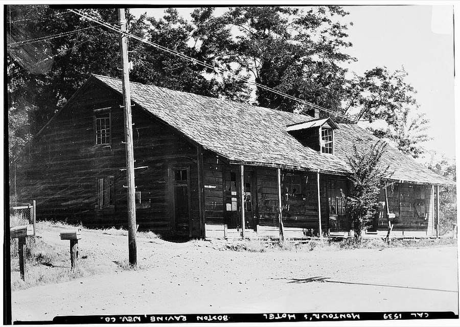
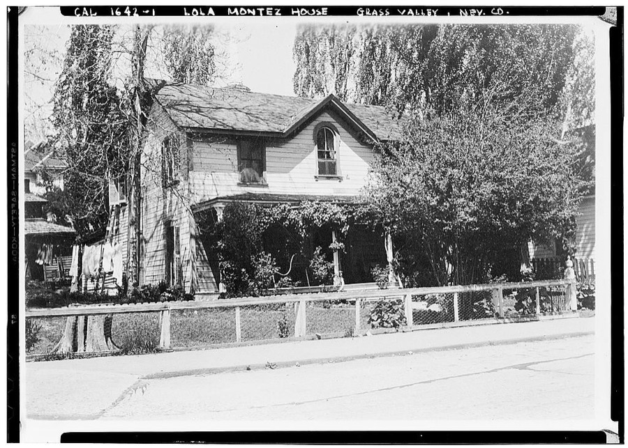
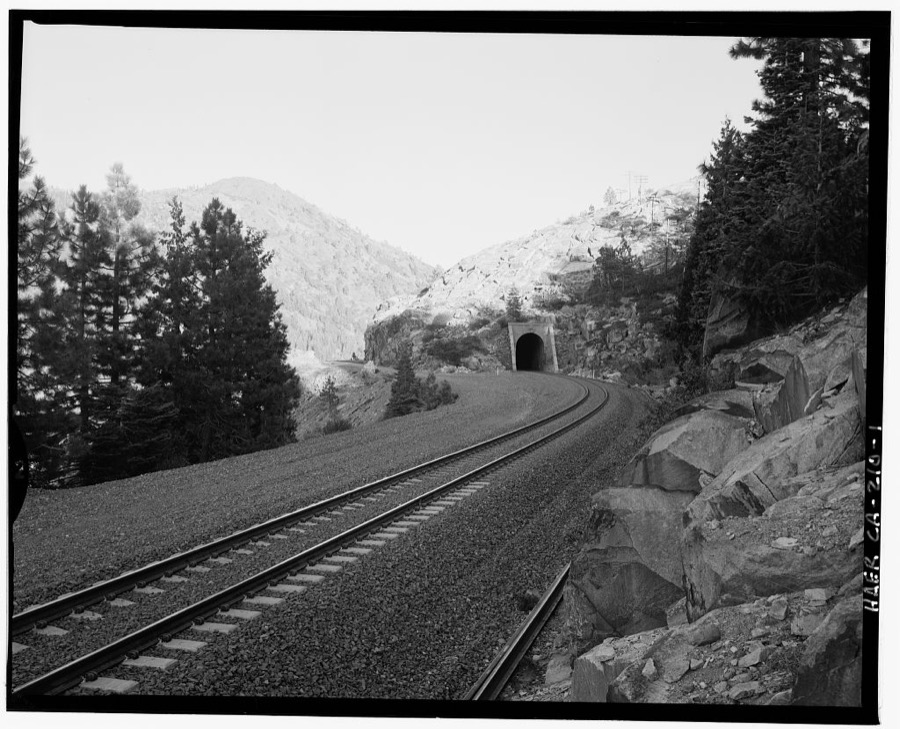
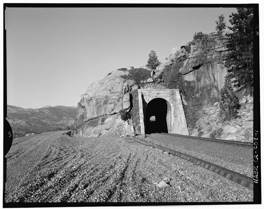
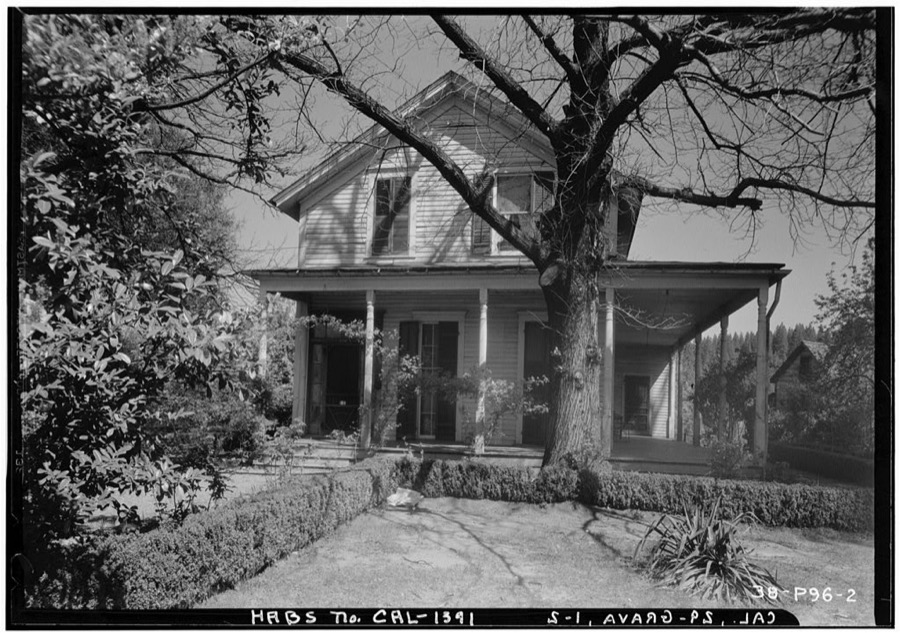
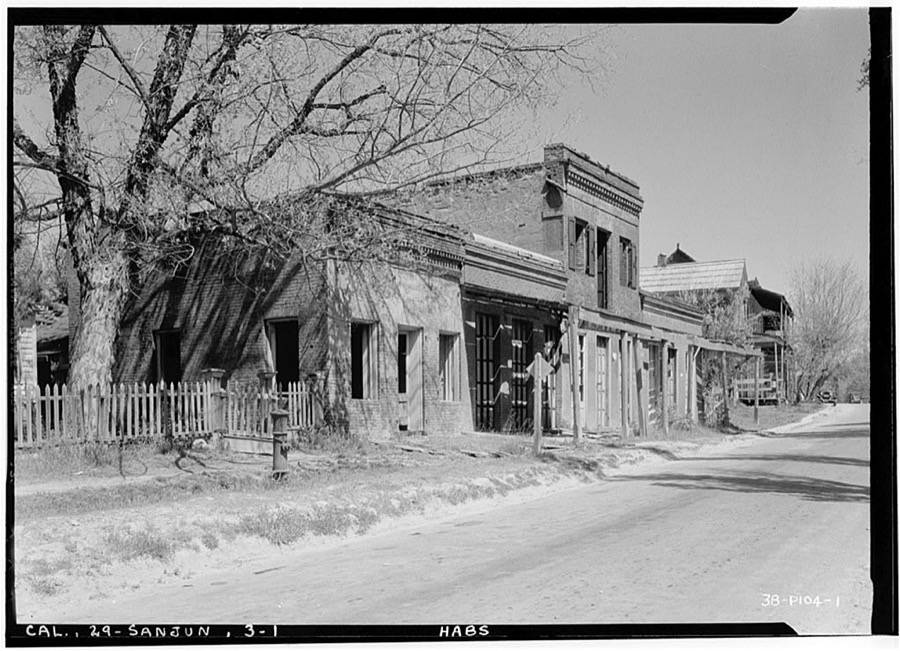
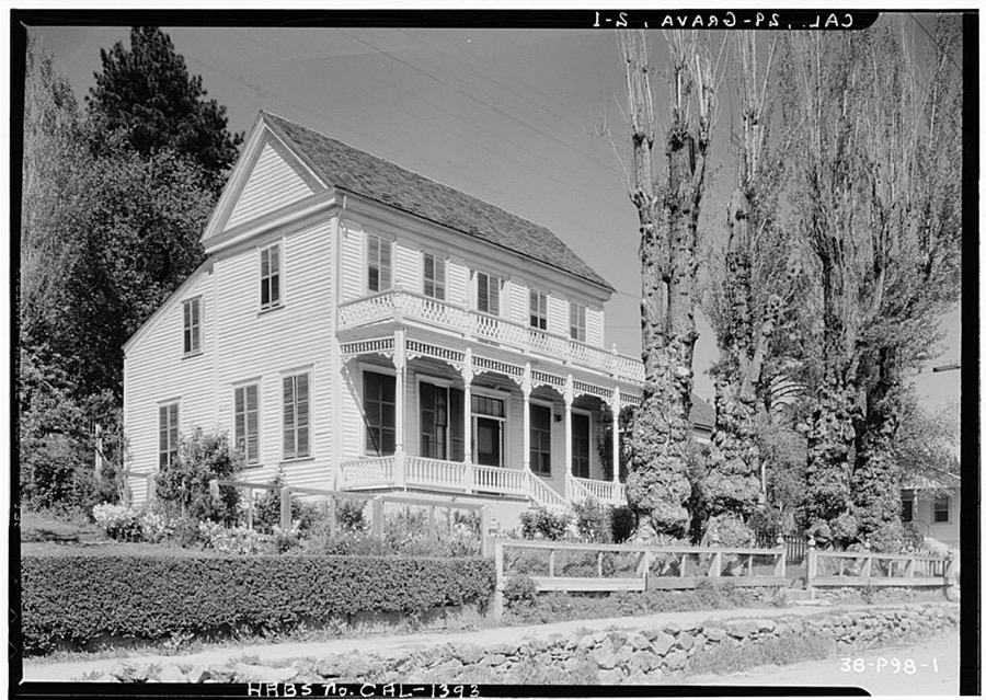
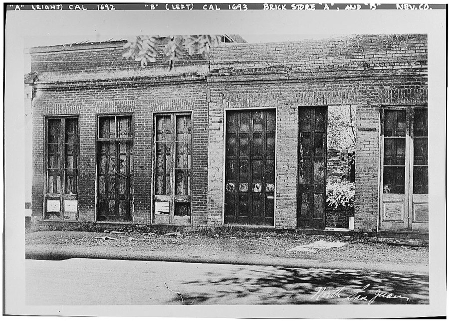
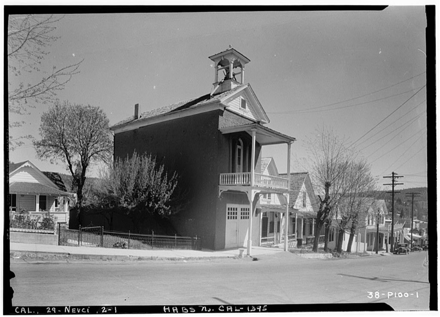
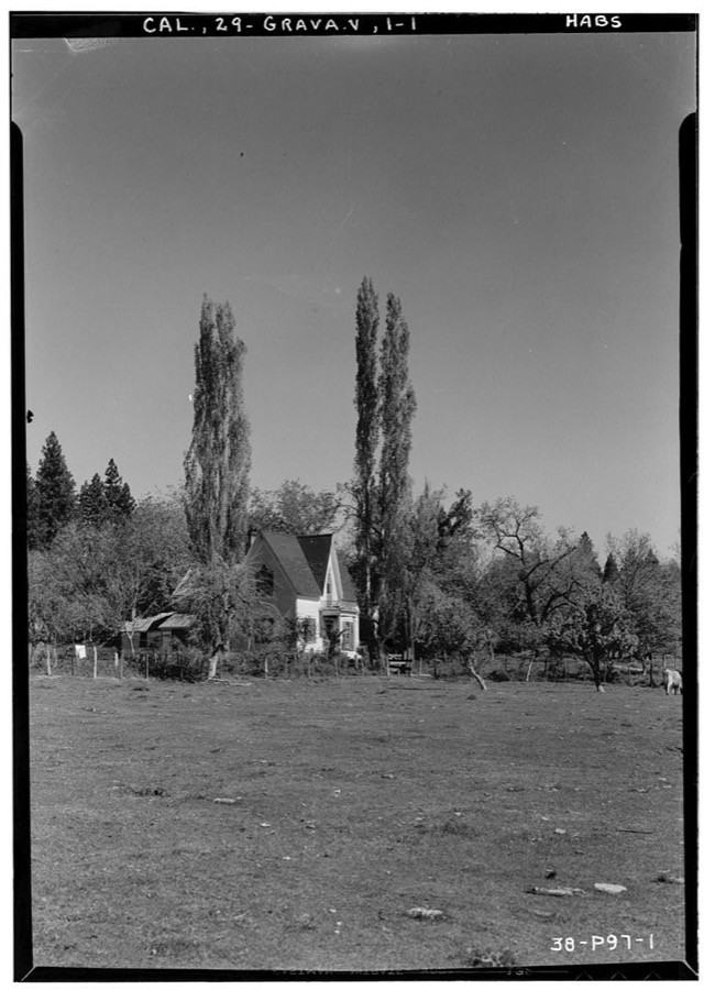
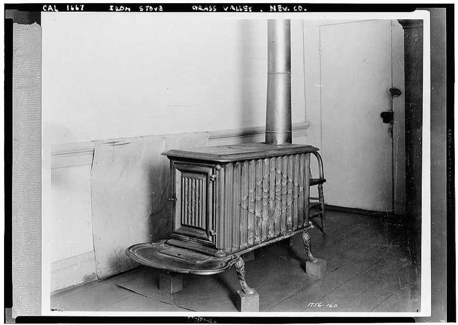
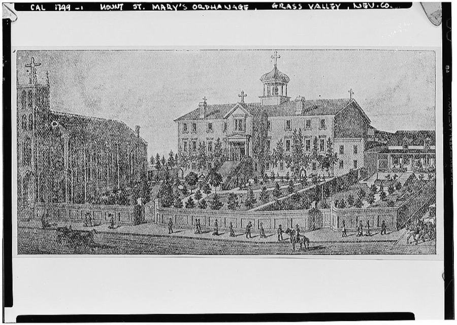
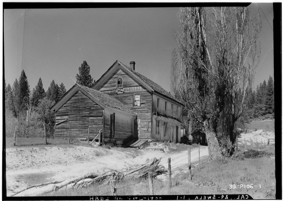
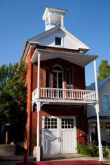
Flying A Service sign in Truckee, an unincorporated town in Nevada County, California, a few miles north of Lake Tahoe Highsmith, Carol M, 2012. Library of CongressSports Tahoe sign in Truckee, an unincorporated town in Nevada County, California, a few miles north of Lake Tahoe Highsmith, Carol M, 2012. Library of Congress[Bridgeport Covered Bridge over the Yuba River, Nevada County, California Highsmith, Carol M, 2012. Library of CongressSports Tahoe in Truckee, an unincorporated town in Nevada County, California, a few miles north of Lake Tahoe Highsmith, Carol M, 2012. Library of CongressThe Donner Party memorial in Truckee, an unincorporated town in Nevada County, California, a few miles north of Lake Tahoe Highsmith, Carol M, 2012. Library of CongressU.S. mail truck used in snowy mountain sections of Nevada County, California Lee, Russell, 1940. Library of CongressA wooden house nestled in the trees in Truckee, California Highsmith, Carol M, 2012. Library of CongressDonner Pass memorial in Truckee, an unincorporated town in Nevada County, California, a few miles north of Lake Tahoe Highsmith, Carol M, 2012. Library of CongressSports Tahoe sign in Truckee, an unincorporated town in Nevada County, California, a few miles north of Lake Tahoe Highsmith, Carol M, 2012. Library of CongressDonner Pass memorial in Truckee, an unincorporated town in Nevada County, California, a few miles north of Lake Tahoe Highsmith, Carol M, 2012. Library of CongressFlying A Service sign in Truckee, an unincorporated town in Nevada County, California, a few miles north of Lake Tahoe Highsmith, Carol M, 2012. Library of Congress[Bridgeport Covered Bridge over the Yuba River, Nevada County, California Highsmith, Carol M, 2012. Library of CongressFirehouse in Nevada City, the county seat of Nevada County, California, northeast of Sacramento Highsmith, Carol M, 2012. Library of CongressThe Donner Party memorial in Truckee, an unincorporated town in Nevada County, California, a few miles north of Lake Tahoe Highsmith, Carol M, 2012. Library of CongressMural: Real Estate and Land Co. in Truckee, an unincorporated town in Nevada County, California, a few miles north of Lake Tahoe Highsmith, Carol M, 2012. Library of CongressThe Donner Party memorial in Truckee, an unincorporated town in Nevada County, California, a few miles north of Lake Tahoe Highsmith, Carol M, 2012. Library of CongressSports Tahoe in Truckee, an unincorporated town in Nevada County, California, a few miles north of Lake Tahoe Highsmith, Carol M, 2012. Library of CongressU.S. mail truck used in snowy mountain sections of Nevada County, California Lee, Russell, 1940. Library of CongressBroad & North Pine Streets (Store), Nevada City, Nevada County, CA Photographer not recorded. Library of CongressHydraulic mining near French Corral, Nevada County Lawrence & Houseworth, publisher, 1866. Library of CongressHouse, North San Juan, Nevada County, CA Photographer not recorded. Library of CongressCapwell & Furth Store, Main Street, North San Juan, Nevada County, CA Photographer not recorded. Library of CongressMain Street (Frame Buildings), North San Juan, Nevada County, CA Photographer not recorded. Library of CongressCentral Pacific Transcontinental Railroad, Sacramento to Nevada state line, Sacramento, Sacramento County, CA Photographer not recorded. Library of CongressMethodist Episcopal Church, Flume Street, North San Juan, Nevada County, CA Photographer not recorded. Library of CongressFreeman's Crossing Bridge, Spanning Middle Fork of Yuba River at CA State Highway 49, North San Juan, Nevada County, CA Photographer not recorded. Library of CongressMorateur's Hotel & Store, Mill Street, Grass Valley, Nevada County, CA Photographer not recorded. Library of CongressLola Montez House, 248 Mill Street, Grass Valley, Nevada County, CA Photographer not recorded. Library of CongressCentral Pacific Transcontinental Railroad, Tunnel No. 37, Milepost 177.79, Yuba Pass, Nevada County, CA Photographer not recorded. Library of CongressCentral Pacific Transcontinental Railroad, Tunnel No. 36, Milepost 176.92, Yuba Pass, Nevada County, CA Photographer not recorded. Library of CongressFinney-Watt House, 506 Linden Street, Grass Valley, Nevada County, CA Photographer not recorded. Library of CongressMain Street (Brick Buildings), North San Juan, Nevada County, CA Photographer not recorded. Library of CongressBridgeport Covered Bridge, Spanning South Fork of Yuba River at bypassed section of Pleasant Valley Road (originally Virginia Turnpike) in South Yuba River State Park , Bridgeport, Nevada County, CA Photographer not recorded. Library of CongressThomas House, 220 North School Street, Grass Valley, Nevada County, CA Photographer not recorded. Library of CongressBrick Stores A & B, Mill Street, Grass Valley, Nevada County, CA Photographer not recorded. Library of CongressFire House No. 2, Broad Street, Nevada City, Nevada County, CA Photographer not recorded. Library of CongressTaylor-Barker House, 653 Linden Street, Grass Valley, Nevada County, CA Photographer not recorded. Library of CongressIron Stove, Grass Valley, Nevada County, CA Photographer not recorded. Library of CongressMount St. Mary's Academy, Church & Chapel Street, Grass Valley, Nevada County, CA Photographer not recorded. Library of CongressHotel & Store, Sweetland, Nevada County, CA Photographer not recorded. Library of Congress
Places on the National Register
22
Every property in this county listed on the
National Register of Historic Places, with the year it was listed and the
federal nomination document.
Drawn when these were printed as
single large sheets: the town seen from the air, and the county
divided into its farms with every owner named. Each opens the
original at the Library of Congress.
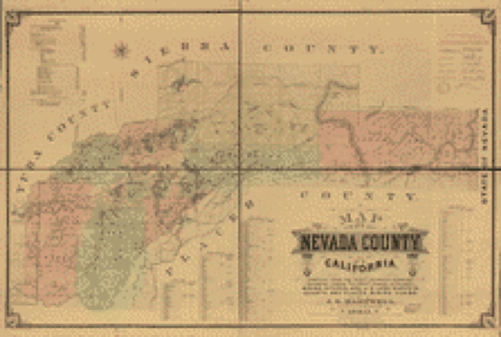
Land ownership map (1880) - Map of Nevada County, California. Library of Congress.
Photographs from libraries nationwide
2 of 11 shown
Selected from the Digital Public Library
of America's 11 image records catalogued for this county. Every
one shown here carries a public-domain status or a licence that permits
reuse on a site that carries advertising; non-commercial, share-alike
and restricted images are excluded. The selection is spread across the
county's towns (at most eight per town), so no single institution's
bulk upload crowds out the rest. Each opens the holding library's
record, and
the complete set at the
Digital Public Library of America is one click away.
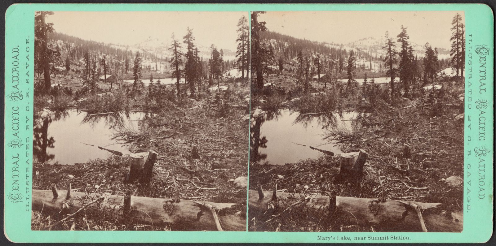
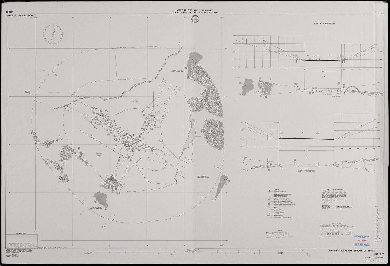
Mary's Lake, near Summit Station. Savage, C. R. (Charles Roscoe), 1832-1909, Boston Public Library, via the Digital Public Library of America.Airport obstruction chart, OC 6021, Truckee-Tahoe Airport, Truckee, California. United States. National Ocean Service, Boston Public Library, via the Digital Public Library of America.
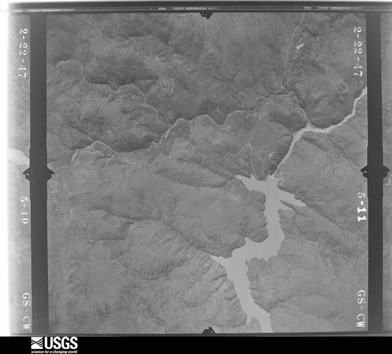
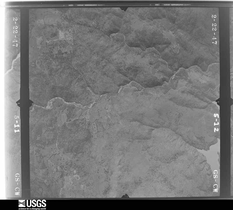
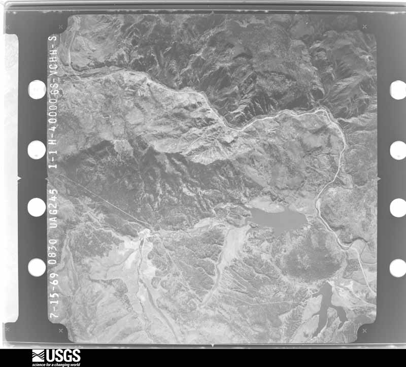
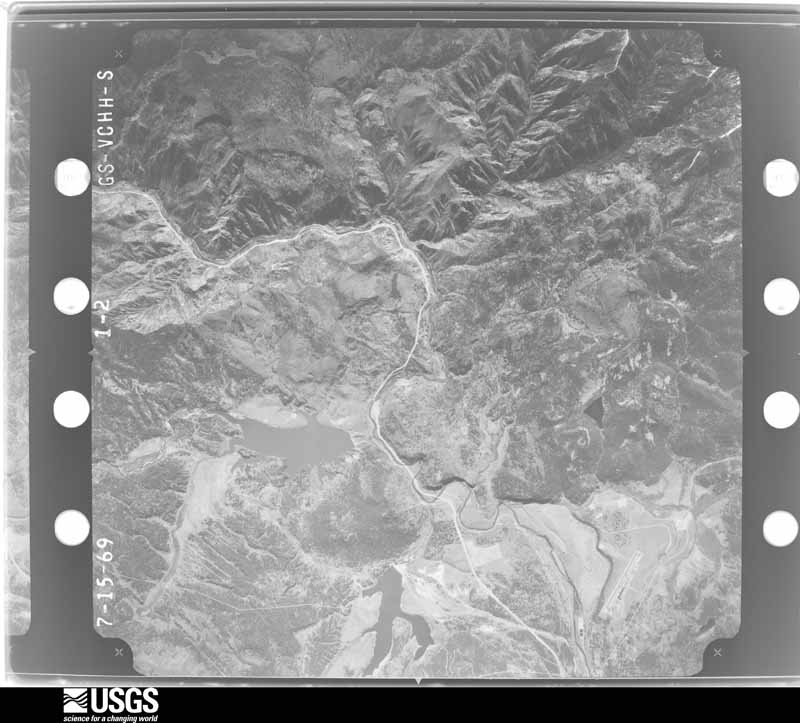
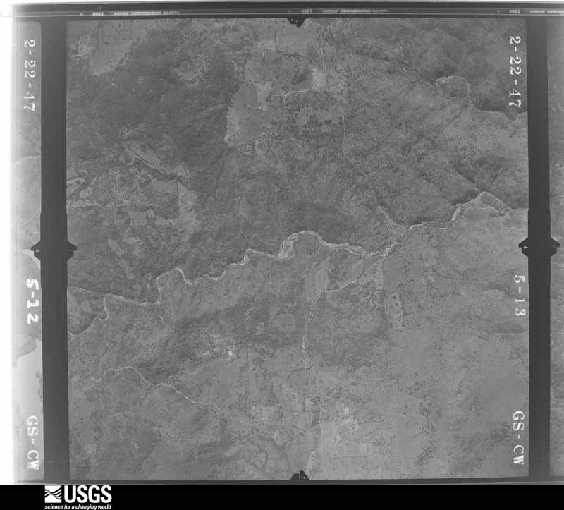
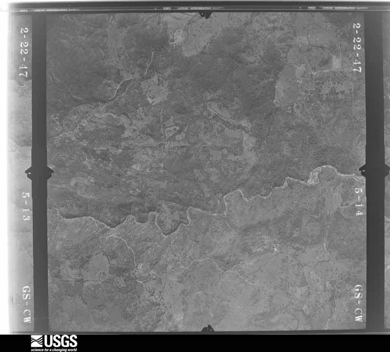
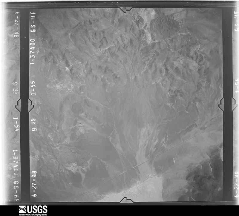
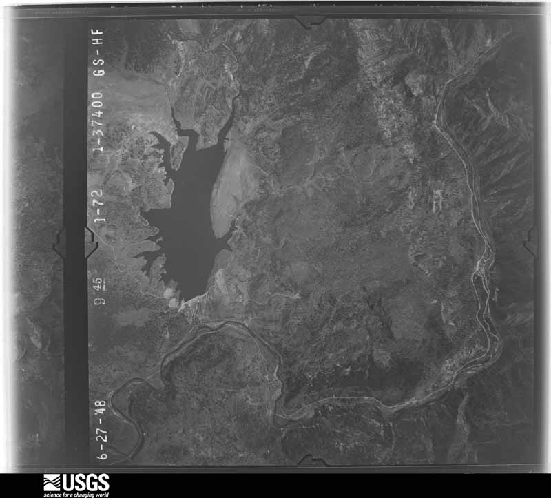
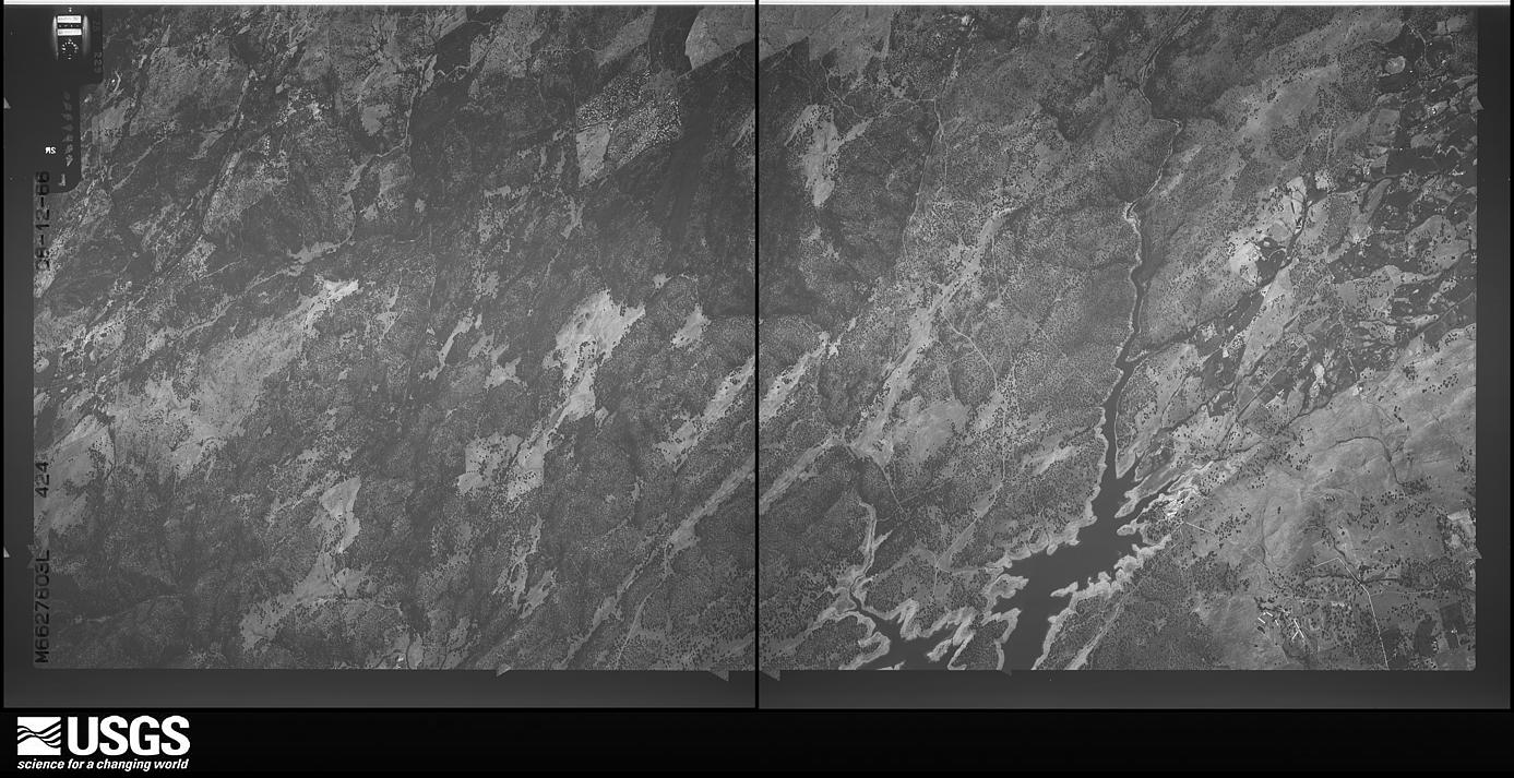
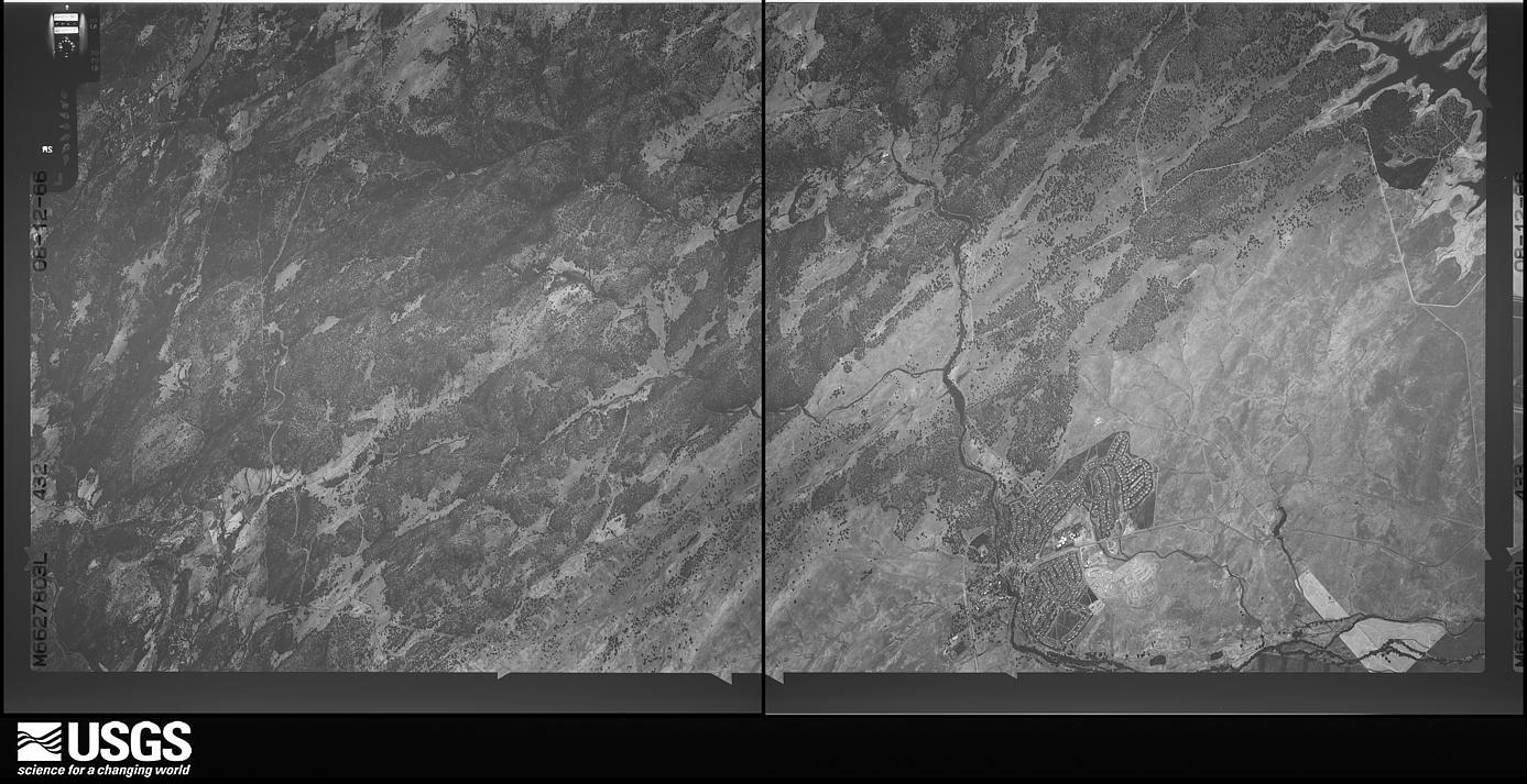
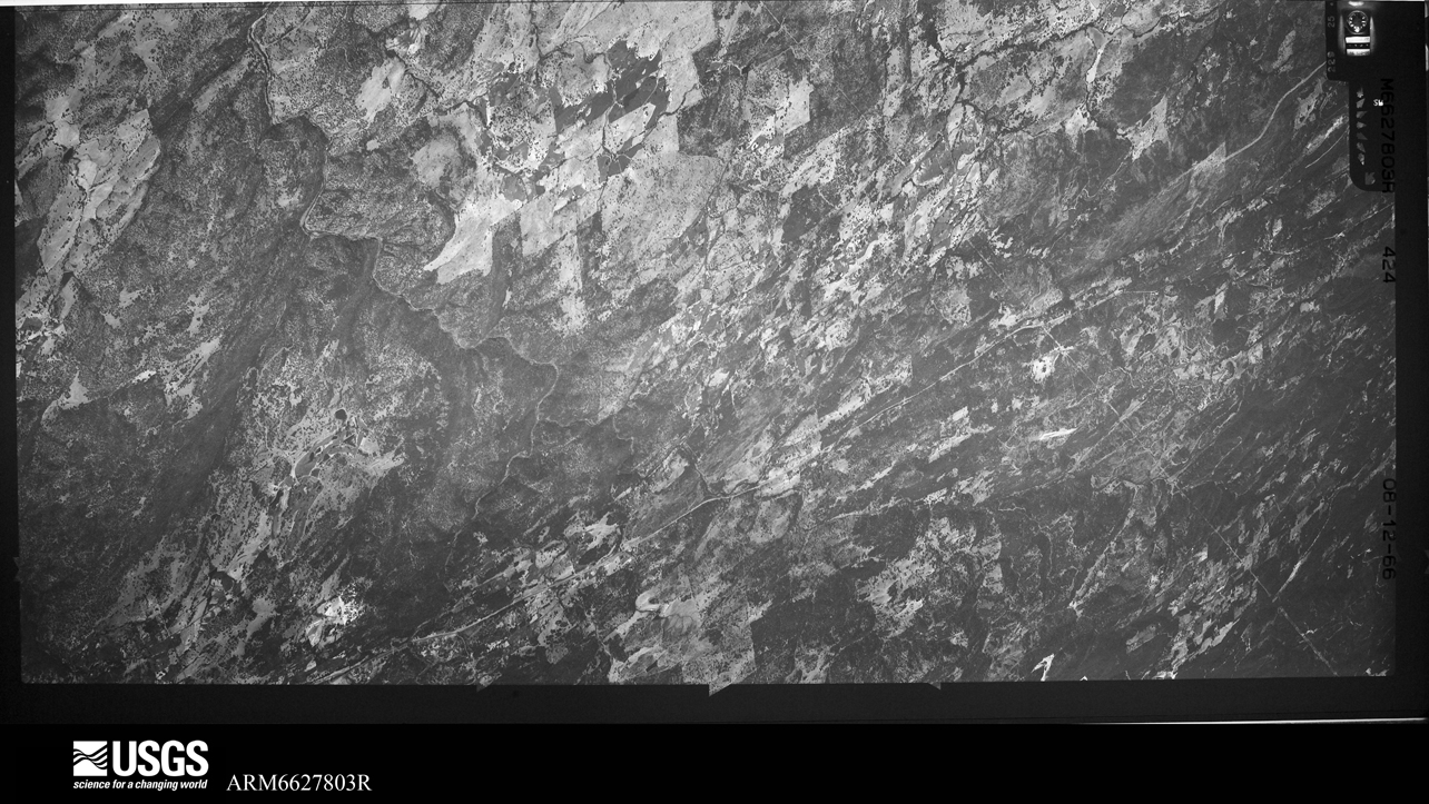
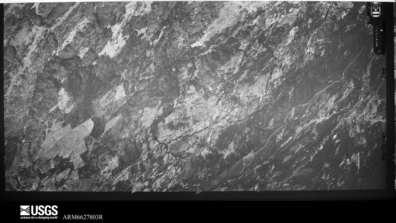
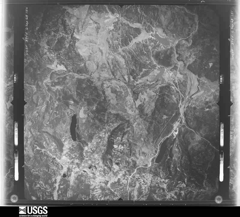
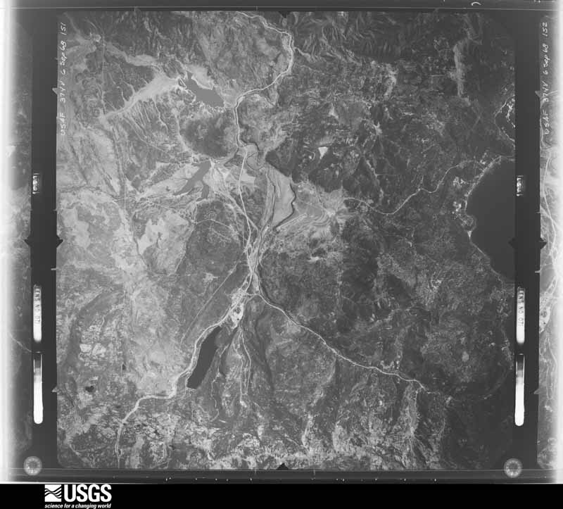
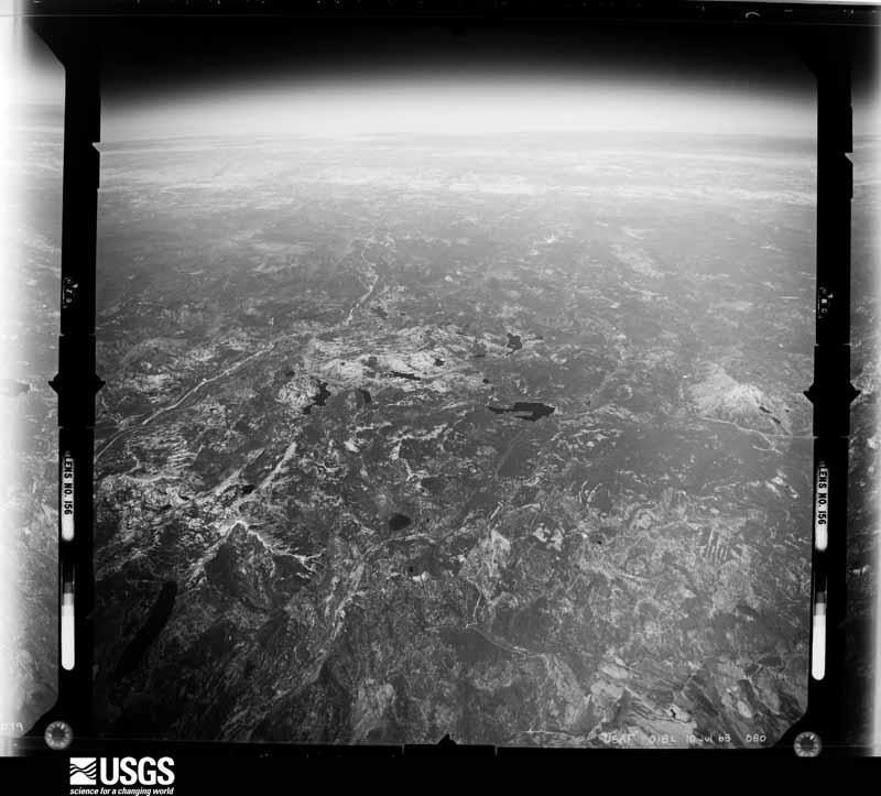
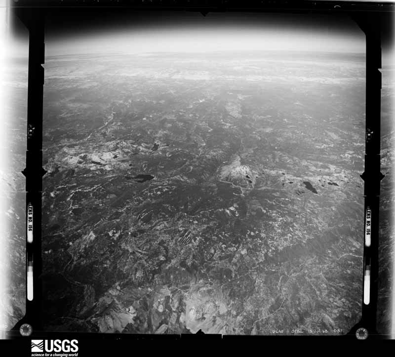
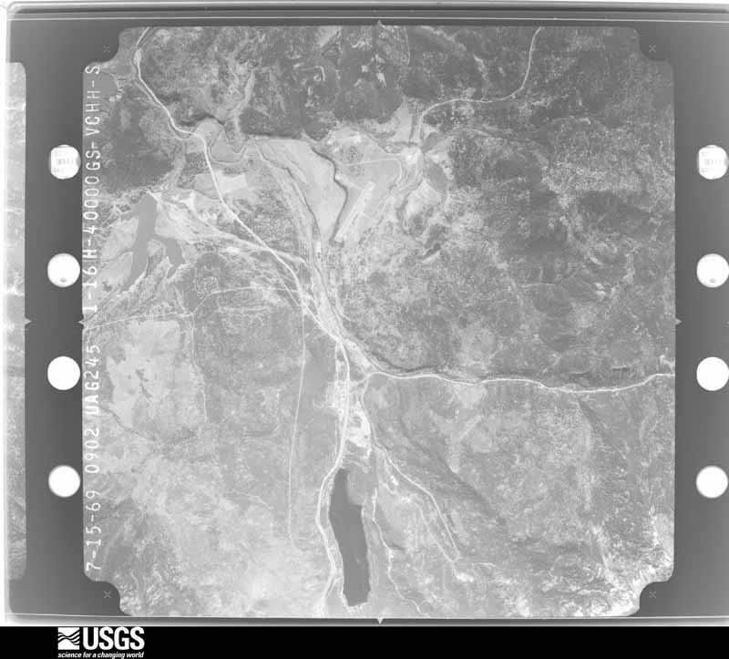
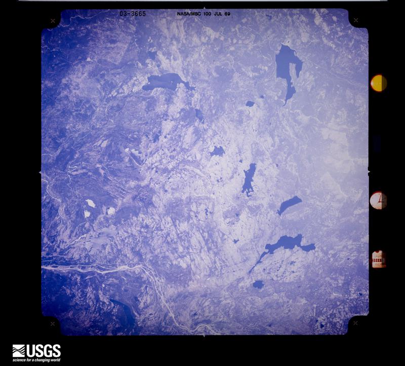
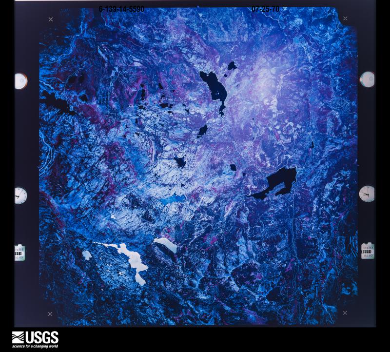
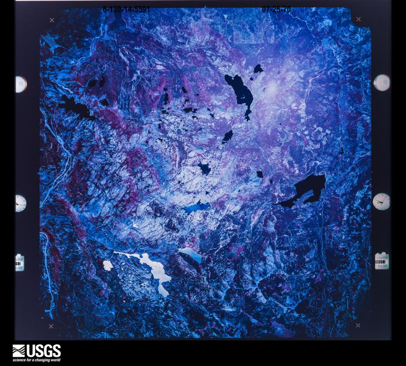
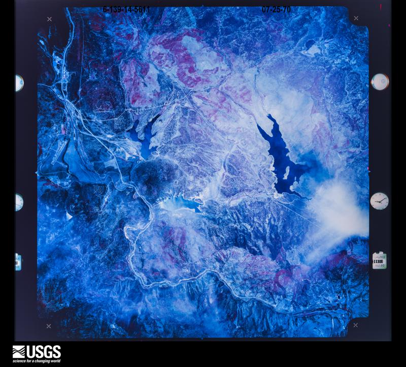
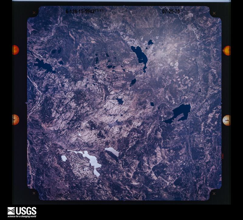
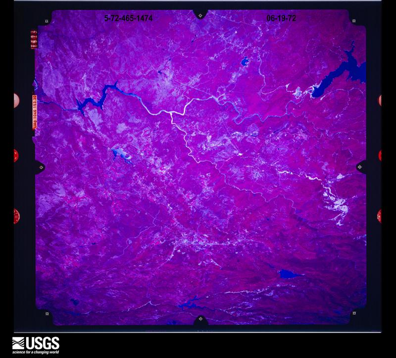
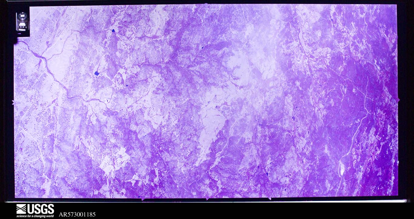
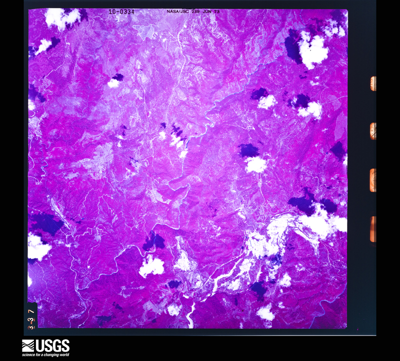
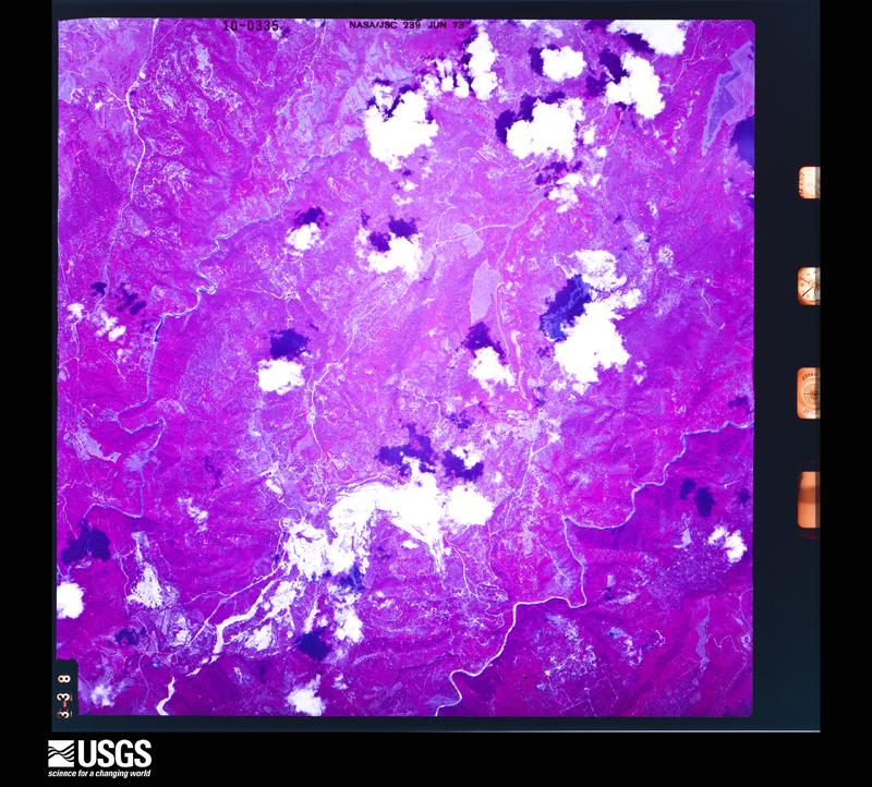
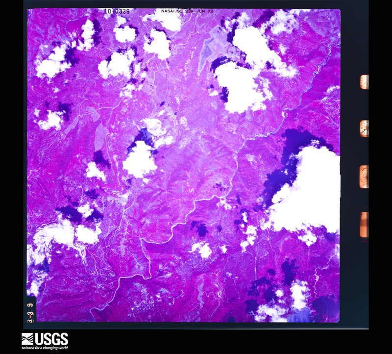
The county from the air
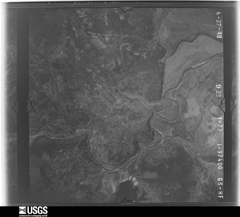
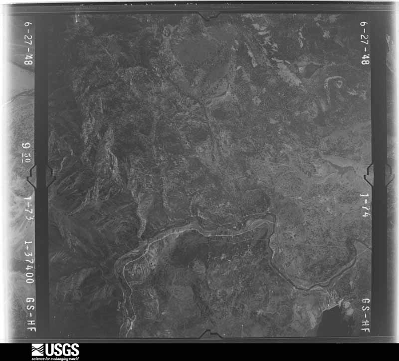
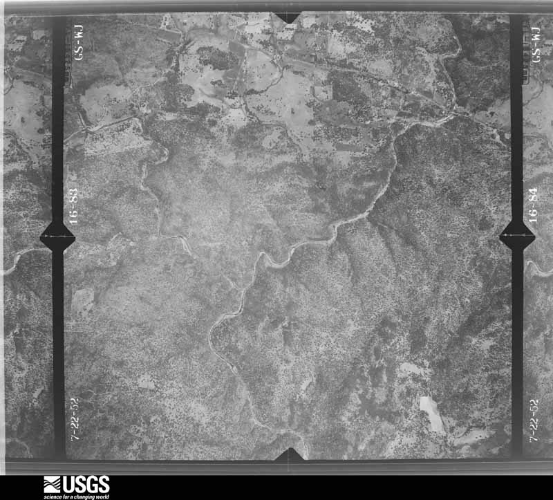
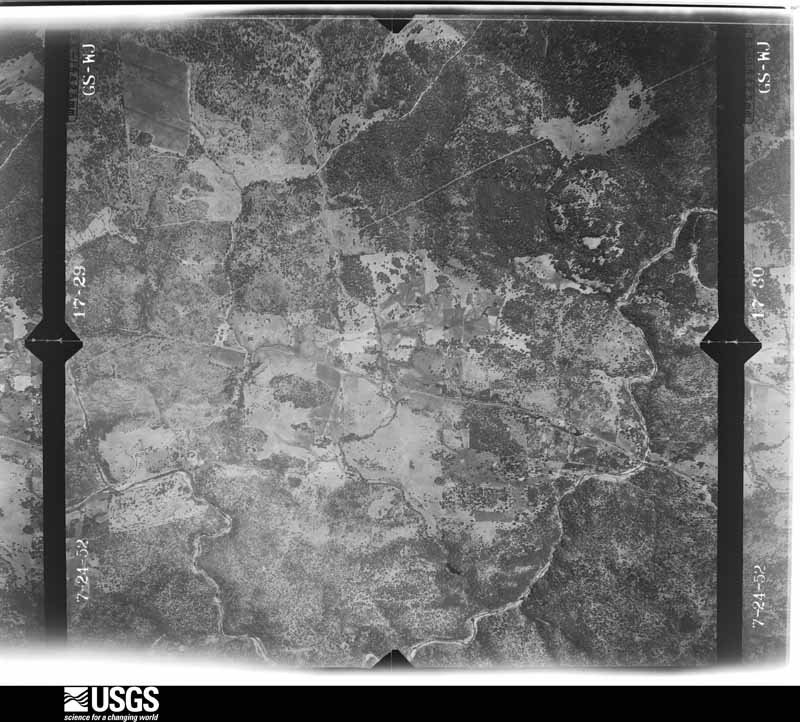
48 shown
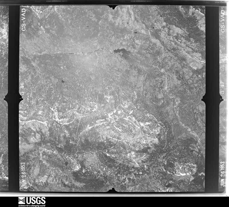
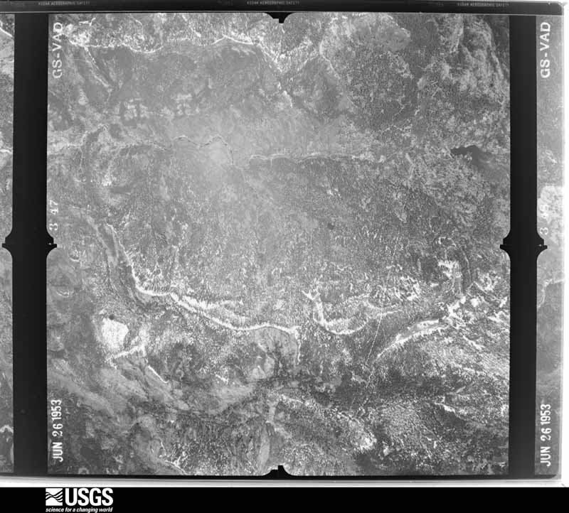
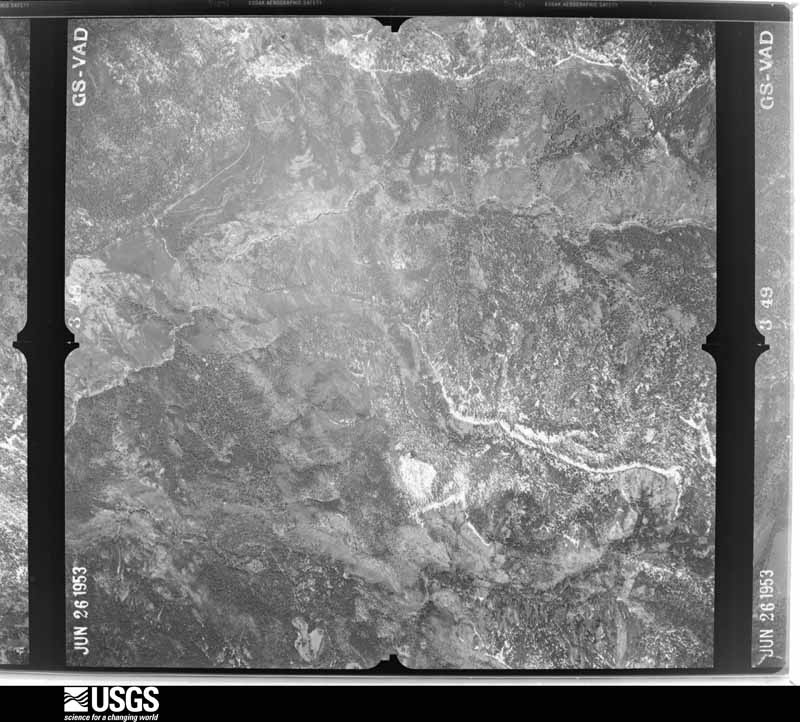
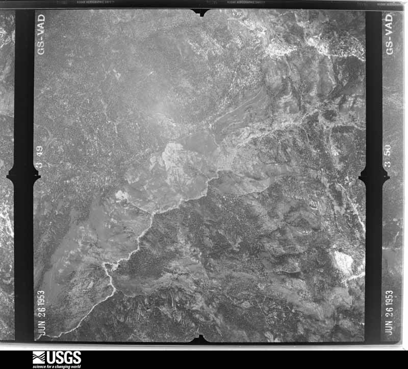
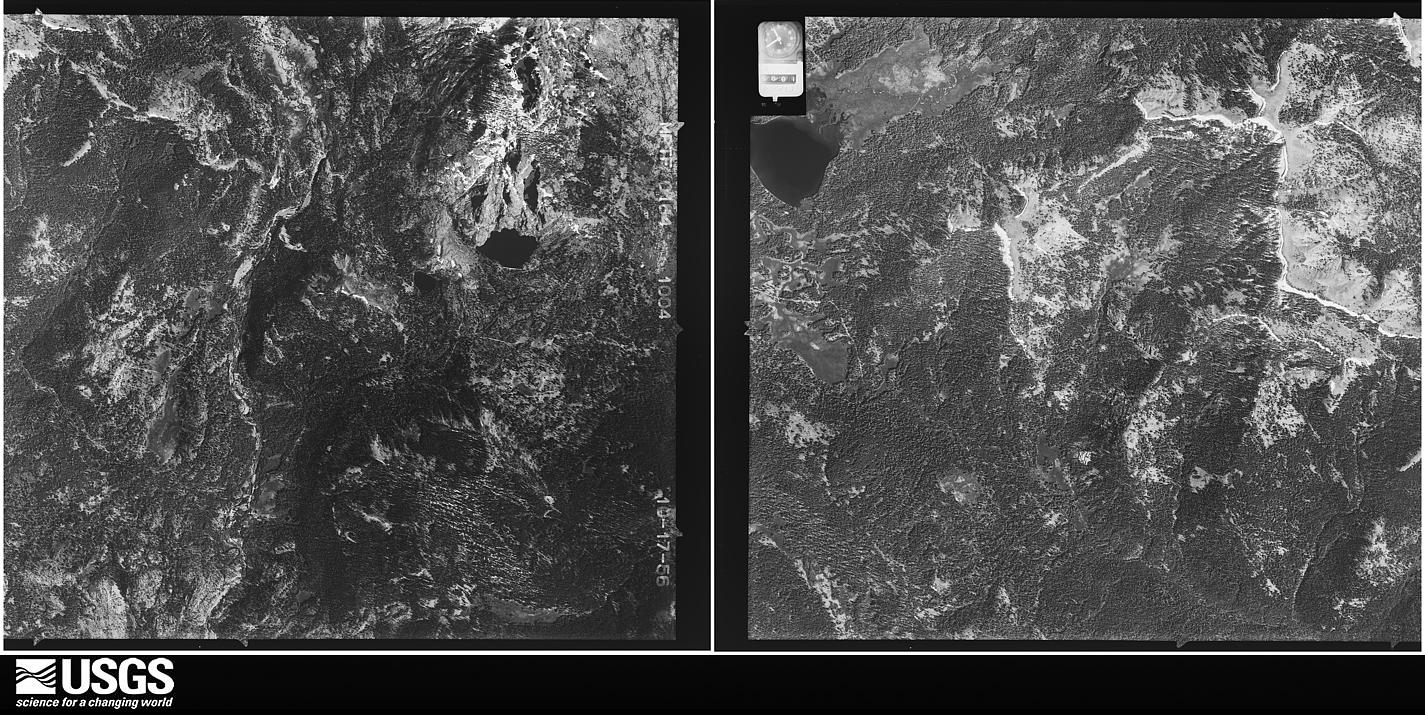
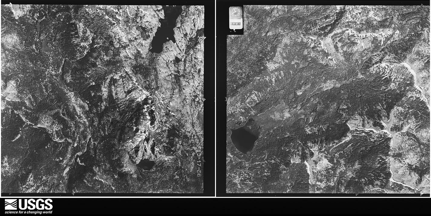
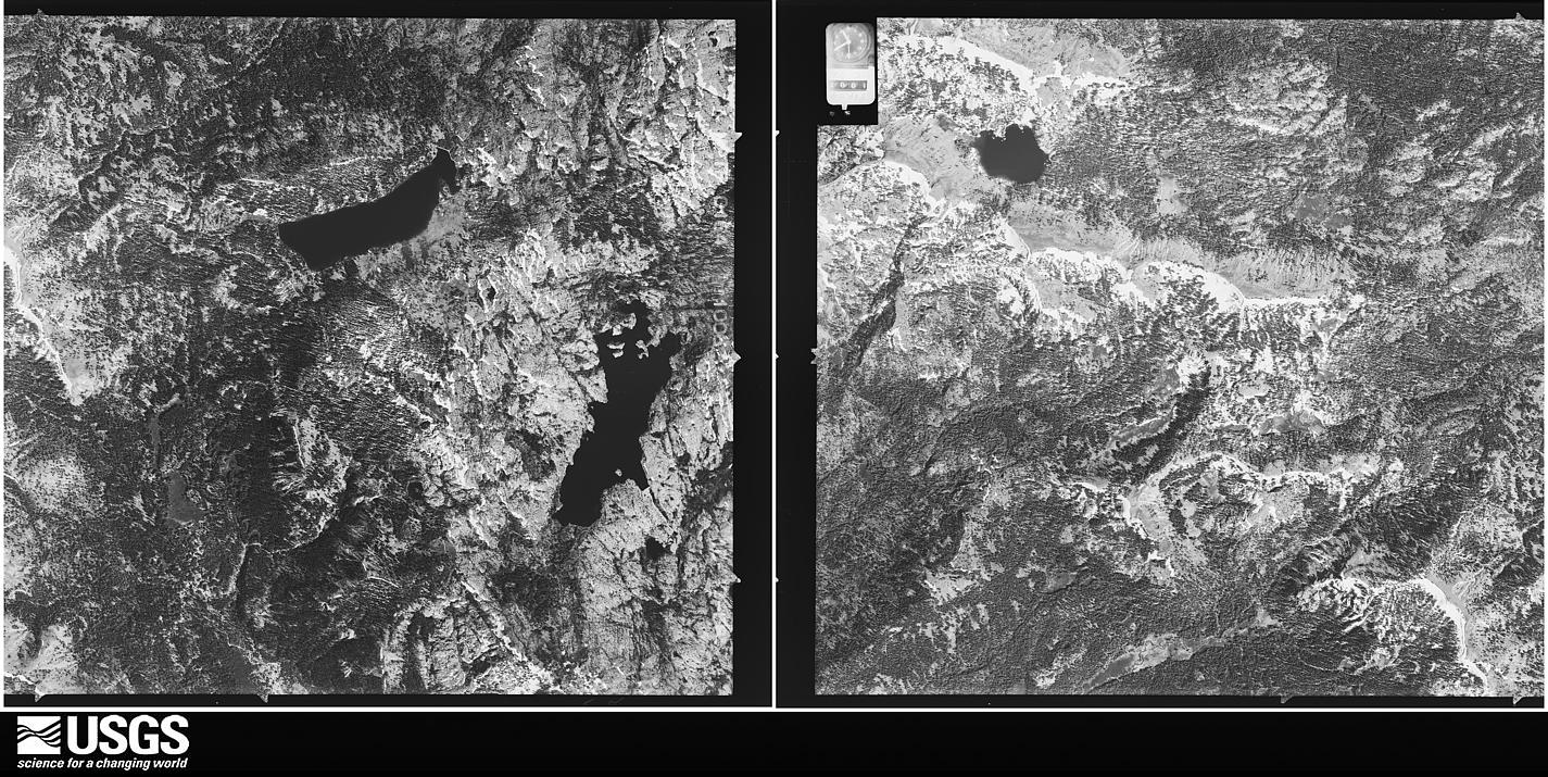
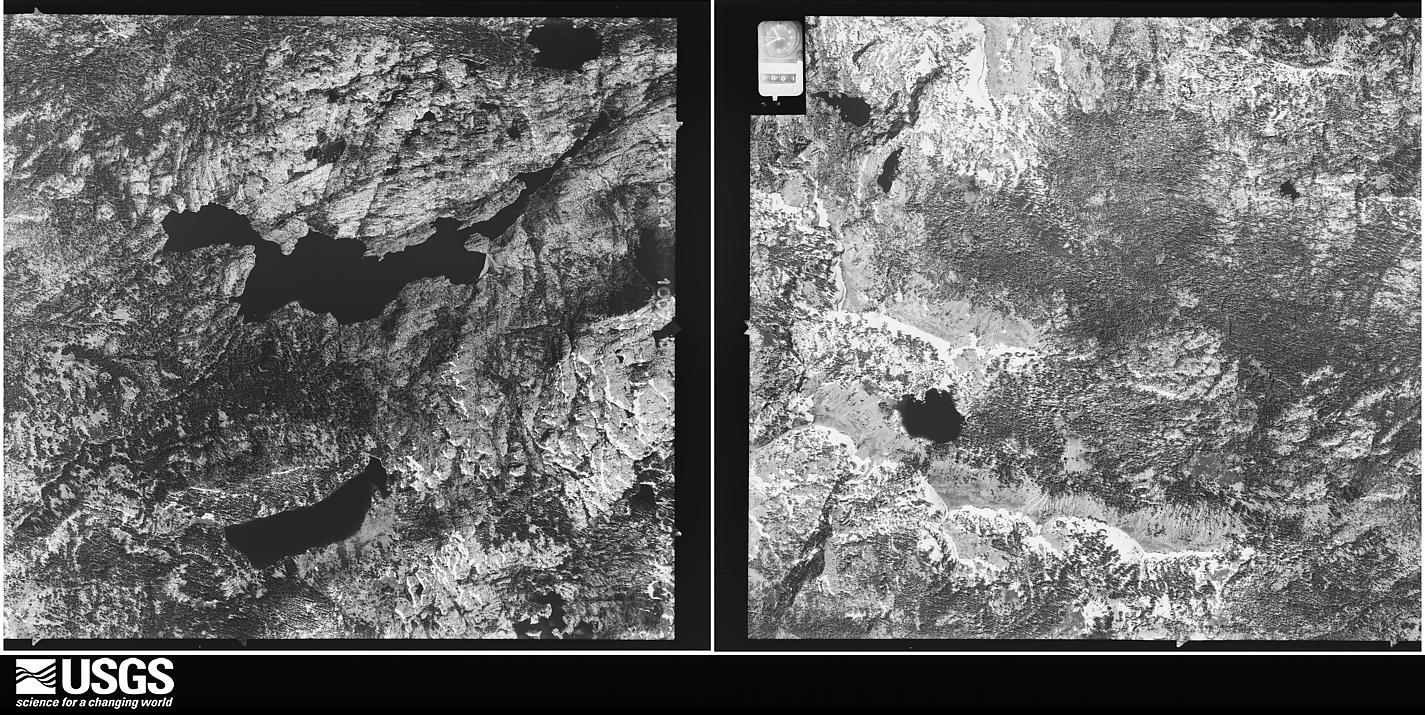
Flown by the U.S. Geological Survey
between 1937 and 1989, the Aerial Photo Single Frames collection is
the definitive mid-century view of the land: fields, roads and rivers
as the camera saw them. The Survey holds 4,567 frames inside the
rectangle that bounds this county; the 48 frames below were taken over
the county itself, chosen across the decades of flights (at most four
a year from that rectangle), so one flight cannot crowd out the rest.
The full set is free to browse and download at
EarthExplorer under the dataset Aerial Photo Single
Frames.
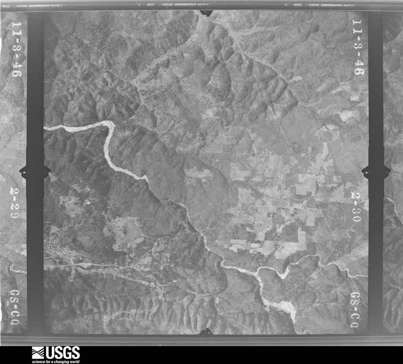
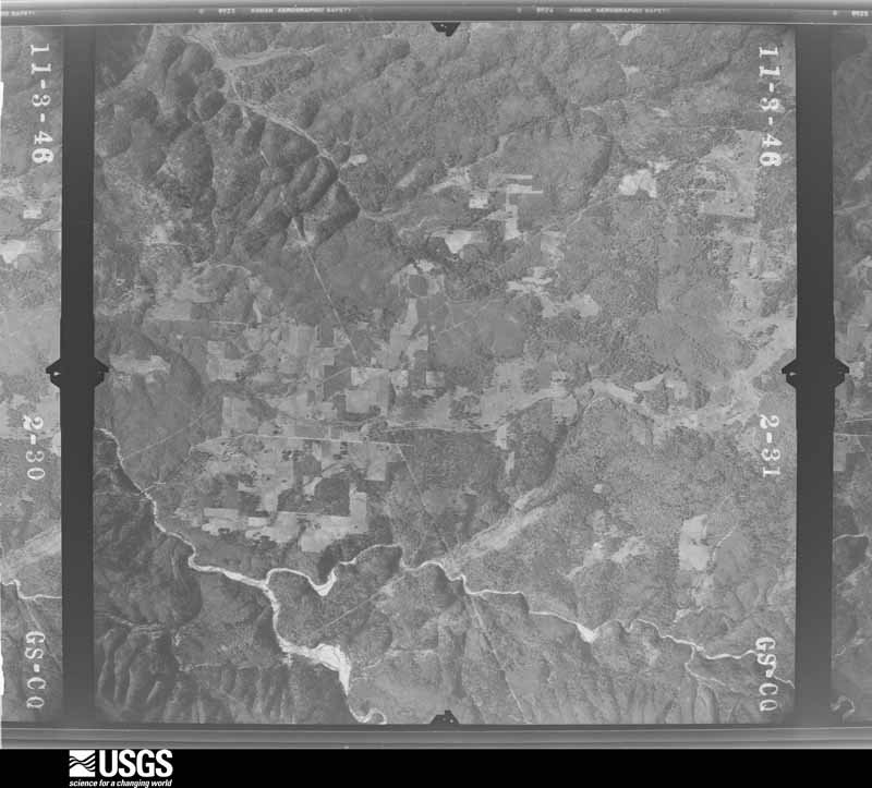
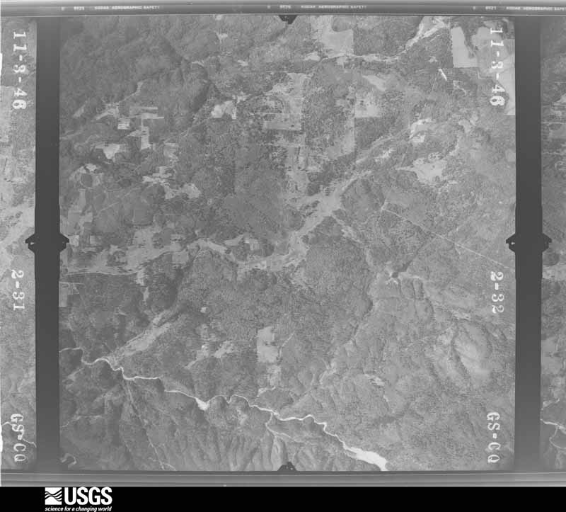
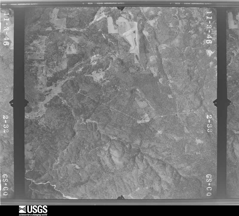
1947-02-01, scale 1:28400. U.S. Geological Survey aerial photograph.1947-02-01, scale 1:28400. U.S. Geological Survey aerial photograph.1969-07-15, scale 1:80000. U.S. Geological Survey aerial photograph.1969-07-15, scale 1:80000. U.S. Geological Survey aerial photograph.1946-11-27, scale 1:37400. U.S. Geological Survey aerial photograph.1946-11-27, scale 1:37400. U.S. Geological Survey aerial photograph.1946-11-27, scale 1:37400. U.S. Geological Survey aerial photograph.1946-11-27, scale 1:37400. U.S. Geological Survey aerial photograph.1947-02-01, scale 1:28400. U.S. Geological Survey aerial photograph.1947-02-01, scale 1:28400. U.S. Geological Survey aerial photograph.1948-06-01, scale 1:37400. U.S. Geological Survey aerial photograph.1948-06-01, scale 1:37400. U.S. Geological Survey aerial photograph.1948-06-01, scale 1:37400. U.S. Geological Survey aerial photograph.1948-06-01, scale 1:37400. U.S. Geological Survey aerial photograph.1952-07-15, scale 1:23600. U.S. Geological Survey aerial photograph.1952-07-15, scale 1:23600. U.S. Geological Survey aerial photograph.1953-06-27, scale 1:37400. U.S. Geological Survey aerial photograph.1953-06-27, scale 1:37400. U.S. Geological Survey aerial photograph.1953-06-27, scale 1:37400. U.S. Geological Survey aerial photograph.1953-06-27, scale 1:37400. U.S. Geological Survey aerial photograph.1956-10-17, scale 1:32500. U.S. Geological Survey aerial photograph.1956-10-17, scale 1:32500. U.S. Geological Survey aerial photograph.1956-10-17, scale 1:32500. U.S. Geological Survey aerial photograph.1956-10-17, scale 1:32500. U.S. Geological Survey aerial photograph.1966-08-12, scale 1:23330. U.S. Geological Survey aerial photograph.1966-08-12, scale 1:23330. U.S. Geological Survey aerial photograph.1966-08-12, scale 1:23330. U.S. Geological Survey aerial photograph.1966-08-12, scale 1:23330. U.S. Geological Survey aerial photograph.1968-06-01, scale 1:142000. U.S. Geological Survey aerial photograph.1968-06-01, scale 1:142000. U.S. Geological Survey aerial photograph.1968-07-01, scale 1:122000. U.S. Geological Survey aerial photograph.1968-07-01, scale 1:122000. U.S. Geological Survey aerial photograph.1969-07-15, scale 1:80000. U.S. Geological Survey aerial photograph.1969-07-18, scale 1:118232. U.S. Geological Survey aerial photograph.1970-07-25, scale 1:120784. U.S. Geological Survey aerial photograph.1970-07-25, scale 1:120784. U.S. Geological Survey aerial photograph.1970-07-25, scale 1:116890. U.S. Geological Survey aerial photograph.1970-07-25, scale 1:118031. U.S. Geological Survey aerial photograph.1971-10-22, scale 1:174000. U.S. Geological Survey aerial photograph.1971-10-22, scale 1:174000. U.S. Geological Survey aerial photograph.1972-04-14, scale 1:130006. U.S. Geological Survey aerial photograph.1972-04-14, scale 1:130006. U.S. Geological Survey aerial photograph.1972-04-14, scale 1:130006. U.S. Geological Survey aerial photograph.1972-06-19, scale 1:130006. U.S. Geological Survey aerial photograph.1973-05-21, scale 1:32501. U.S. Geological Survey aerial photograph.1973-06-03, scale 1:66360. U.S. Geological Survey aerial photograph.1973-06-03, scale 1:66360. U.S. Geological Survey aerial photograph.1973-06-03, scale 1:66360. U.S. Geological Survey aerial photograph.
Weather records
65 stations, 62 gages
The thermometers that kept this county's weather, and the gages that measured the flow of its streams, as the federal records hold them. The extremes below are measured values from those records, not estimates.
GRASS VALLEY1893 to 1966, hottest 43.9 C, coldest -12.2 C
NEVADA CITY1893 to 2026, hottest 43.9 C, coldest -28.3 C
BOWMAN DAM1896 to 2026, hottest 38.9 C, coldest -18.9 C
LAKE SPAULDING1902 to 2003, hottest 40.0 C, coldest -25.6 C
TRUCKEE RS1904 to 2009, hottest 38.3 C, coldest -33.3 C
Who lived here in 1950, one enumeration
district at a time, as the Census Bureau described each district.
Each row opens its official National Archives result, with Population
Schedules and ED Maps available there.
29-1Grass Valley Judicial Township: Grass Valley city: Grass Valley city - That part Bounded by City limits; City limits; E. Main; N. Auburn, Washington
29-2Grass Valley city - That part Bounded by City limits; Washington, N. Auburn; W. Main, Carpenter, City limits; City limits
29-3Grass Valley city - That part Bounded by W. Main; S. Auburn, Neal, Mill; Walsh; City limits, Carpenter
29-4Grass Valley city - That part Bounded by E. Main; City limits; Colfax Ave.; S. Auburn
29-5Grass Valley city - That part Bounded by Colfax Ave.; City limits; City limits; S. Auburn
29-6Grass Valley city - That part Bounded by Neal; S. Auburn; Park Ave., Marshall, Empire, Whiting; Mill
29-7Grass Valley city - That part Bounded by Walsh; Mill; Chapel, Rhode Island, Brighton; Minnie, City limits
29-8Grass Valley city - That part Bounded by City limits, Minnie, Brighton, Rhode Island, Chapel; Mill; City limits; City limits
29-9Grass Valley city - That part Bounded by Whiting, Empire, Marshall, Park Ave.; S. Auburn; City limits; Mill
29-10AGrass Valley Judicial Township - That part Bounded by Union Hill Rd., Unnamed road, Judicial Township line; County line; State Hwy. 25
29-10BGrass Valley Judicial Township - That part Bounded by Maryland Rd.; Unnamed road; Union Hill Rd.; Grass Valley city limits
29-11Grass Valley Judicial Township - That part Bounded by Judicial Township line; Maryland Rd., Grass Valley city limits, State Hwy. 15; Rough and Ready - Mt. View Rd.
29-12Grass Valley Judicial Township - That part Bounded by South Fork Yuba River (Judicial Township line); Judicial Township line, Rough and Ready - Mt. View Rd., State Hwy. 15, Grass Valley city limits, Sheridan - Grass Valley Rd.; Sheridan - Grass Valley Rd.; County line
29-13Grass Valley Judicial Township - That part Bounded by Grass Valley city limits; State Hwy. 17; County line; County line, Sheridan - Grass Valley Rd.
29-14Grass Valley Judicial Township - That part Bounded by State Hwy. 25; State Hwy. 25, County line; County line; State Hwy. 17, Grass Valley city limits
29-15Meadow Lake Judicial Township: Truckee, Unincorporated Truckee, unincorporated - That part Bounded by old delimited unincorporated place boundaries
29-16Meadow Lake Judicial Township - That part east of State Hwy. 83 outside Truckee, unincorporated (See separate map for boundaries of Truckee)
29-17Meadow Lake Judicial Township - That part west of State Hwy. 83 outside Truckee, unincorporated (See separate map for boundaries of Truckee)
29-18Nevada Judicial Township: Nevada City: Nevada city - That part Bounded by City limits; City limits; Deer Creek; Main
29-19Nevada city - That part Bounded by City limits; Main; Deer Creek; City limits
29-20Nevada city - That part Bounded by Deer Creek; Gold Run; City limits; City limits
29-21Nevada city - That part Bounded by Deer Creek; City limits; City limits; Gold Run
29-22Nevada Judicial Township - That part Bounded by County line; Judicial Township line; County line, State Hwy. 15, Washington Rd., South Fork Yuba River, Judicial Township line; County line
29-23Nevada Judicial Township - That part Bounded by South Fork Yuba River; Washington Rd., State Hwy. 15, County line; Judicial Township line, Nevada city - Red Dog Rd., Nevada City limits, State Hwy. 25; Judicial Township line; Show separately Nevada City Indian Rancheria
29-24Nevada Judicial Township - That part Bounded by State Hwy. 25, Nevada City limits, Nevada city - Red Dog Rd.; Judicial Township line; Judicial Township line; Judicial Township line
29-25Truckee, unincorporated - That part Bounded by U.S. Hwy. 40; Old delimited unincorporated place boundary, Southern Pacific Railroad; 1/2 section line of Sections 11 and 14, T. 17N., R. 16E.; County line; State Hwy. 89
29-26Truckee, unincorporated - That part Bounded by Offset line 1/4 Mile North of and parallel to U.S. Hwy. 40 to a point Northeast of junction of Keiser Ave. and U.S. Hwy. 40.; Old delimited unincorporated place boundary; U.S. Hwy. 40; North-South line through Donner Monument
Wildfire,
1992 to 2020
3,874 fires
Every wildfire the federal occurrence
database records inside this county: 3,874 of them, burning
about 20,977 acres. 325 started naturally and 134 were recorded as arson. Each settlement page carries the fires within
five miles of it.
Reported cause
Fires
Missing data/not specified/undetermined
1229
Debris and open burning
778
Equipment and vehicle use
705
Recreation and ceremony
343
Natural
325
Misuse of fire by a minor
142
Arson/incendiarism
134
Smoking
113
Power generation/transmission/distribution
83
Other causes
12
Fireworks
7
Railroad operations and maintenance
3
The five largest, by the area the report
gives. None of them was recorded as arson.
Date
Cause
Size
Reported by
Name on the report
15 August 2009
Missing data/not specified/undetermined
2,600 acres
Nevada-Yuba-Placer Unit
not named
21 June 2008
Natural
2,420 acres
Tahoe National Forest
FALL
25 July 2015
Missing data/not specified/undetermined
2,304 acres
Nevada-Yuba-Placer Unit
LOWELL
11 August 1994
Equipment and vehicle use
1,300 acres
Tahoe National Forest
HIRSCHDALE
21 June 2008
Natural
1,230 acres
Tahoe National Forest
SCOTCHMAN
9 October 2017
Missing data/not specified/undetermined
880 acres
Nevada-Yuba-Placer Unit
LOBO
17 August 2020
Missing data/not specified/undetermined
705 acres
Nevada-Yuba-Placer Unit
JONES
1 June 2020
Equipment and vehicle use
670 acres
Nevada-Yuba-Placer Unit
FREEMAN LN GRASS_VALLEY_
Every settlement page carries the fires within five
miles of it - see the settlement index below.
Storms,
1957 to 2026
60 of 126 shown
The
NOAA Storm Events Database holds
126 reports for this county, causing 1 death, 1 injury and about $6,903,000 in recorded property damage.
Each settlement page carries the reports that name it.
Kind of event
Reports
Heavy Rain
63
Flood
25
Hail
18
Debris Flow
7
Thunderstorm Wind
4
Flash Flood
4
Lightning
3
Tornado
1
Dust Devil
1
The most serious of them, by death, then
injury, then recorded damage. The accounts are quoted exactly as the
forecast office filed them.
A 71-yr-old man was struck and killed by lightning during an early morning thunderstorm at Donner Memorial State Park just west of Truckee, CA. He had been camping with family in the Park and was outside in an area of tall trees.
The California Highway Patrol reported large boulders on Interstate 80 just west of the Donner Lake Interchange. A pickup truck ran into one of the boulders resulting in an injury.
Rocks, mud, and a tree across the roadway on Highway 49. The roadway was unpassable due to numerous slides on both sides of the South Yuba River Bridge.
Interstate 80 was closed because of a large mudslide approximately 5 miles east of Truckee. The mudslide occurred at around 3 am on December 31st, blocking both directions on the Interstate. California Highway 89 was also closed due to a mudslide. Donner Creek caused flooding of some buildings in Truckee. This was the second largest flood of record on Donner Creek. California Highway 89 was closed across Nevada County from Truckee to the Sierra County line.
Interstate 80 was closed in both directions over the Sierra Nevada near Donner Lake. CalTrans and CHP reported a 60 foot mudslide at 6 pm due to a mudslide. Interstate 80 was shut down for 17 hours west bound, 14 hours east bound, until CalTrans removed the debris.
A large mudslide near the Donner Lake Interchange on Interstate 80 caused the closure of the freeway. The westbound lanes closed at 1802PST, followed by the eastbound lanes (downed power lines) at 1918PST. The road was completely closed between Kingvale and Truckee until 0520PST on the 9th when it was opened for local traffic and law enforcement. The freeway was fully opened at 1040PST on the 9th. The damage estimate was obtained from a preliminary damage assessment from CALTRANS.
Heavy rain on steep terrain caused a debris flow which covered around a 300 foot portion of Interstate 80 on the westbound side with up to 8 inches of mud and debris. The interstate was closed for about 30 minutes on the eastbound side and several hours on the westbound side. At least 6 weeks of rehabilitation to prevent further debris flows was required on the shoulder and steep terrain near the freeway.
Roadway flooding was reported in Nevada County as creeks went over their banks. This also included flooding into a downtown Nevada City garage and into residential backyards.
Ice jamming under Soda Springs Rd. caused the road to be flooded for several hours. The Serene Lakes community was inaccessible until road crews cleared the ice jam.
Six to 8 inches of mud and debris covered the westbound lanes of Interstate 80. The westbound lanes of the interstate between the Nevada state line and the Farad exit were closed until 2100PST. One lane of eastbound I-80 was also closed (to allow westbound traffic to turn around).
The Rainbow Lodge experienced basement flooding as the South Fork of the Yuba River rose out of its banks. This damaged tools and other items in the basement.
A COOP observer station (BOCC1 - Boca Reservoir) located 1.0 mi SSW of Boca Reservoir, CA, a CoCORAHS station (CA-NV-51 Truckee) located 2.0 mi N of Truckee, CA, and a CO-OP Observer station (FARC1 Floriston) located 2.0 mi NNW of Floriston, CA, reported 24 hour rainfall/liquid totals of 3.22 inches, 2.98 inches, and 2.52 inches respectively.
A CoCORAHS station (CA-NV-51 Truckee) located 2.0 mi N of Truckee, CA, and a CO-OP Observer station (BOCC1) located 1.0 mi SSW of Boca Reservoir, CA, reported 24 hour rainfall/liquid totals of 1.0 inches and 0.68 inches respectively.
California Highway Patrol reported a rock slide from heavy rain blocking the road in the southbound lane of Pleasant Valley Road near South Yuba River State Park.
A Local Official located at 6.0 mi W of Truckee, CA, a CoCORAHS station (CA-NV-51 Truckee) located 2.0 mi N of Truckee, CA, and a CO-OP Observer located 3.0 mi E of Truckee, CA, at the Truckee-Tahoe Airport (KTVL) reported 24 hour rainfall/liquid totals of 2.07 inches, 1.14 inches, and 0.96 inches respectively.
COCORAHS Station (CA-NV-51) located 2.0 mi N Truckee, CA, and CO-OP observer located 1.0 mi SSW of Boca Reservoir, CA, reported 24 hour heavy rainfall totals of 5.57 and 4.62 inches respectively during the period from 12/31/22 through 1/1/23.
A CoCoRahs station (CA-NV-51) located 1.6 mi N of Truckee, CA, reported a rainfall storm total of 0.59 inches, as well as 0.5 inches of snow. A mesonet station (DNRC1) located 1.9 mi NE of Donner Peak, CA, and a local official located at the Central Sierra Snow Lab, CA, reported rainfall storm totals of 1.12 inches and 2.20 respectively.
A COCORAHS (NV-WH-47 Truckee) located 1.0 mi NW of Glenshire-Devonshire, CA, and a CO-OP Observer (FARC1) located 2.0 mi NNW of Floriston, CA, reported 24 hour rainfall totals of 0.43, and 0.48 inches respectively.
The California Highway Patrol-Truckee reported the closure of portions of Donner Pass Road (Old Highway 40) due to a rock slide/large boulder in the road between Sugar Bowl and Truckee after thunderstorms brought locally heavy rain the day before.
The CHP Truckee reported flooding located 1.0 mi N of Boca Reservoir that included mud along with the fall of rocks/boulders up to 5 feet diameter onto Stampede Meadows Rd. near Boca Springs road.
COCORAHS station CA-NV-47 (5.9 mi ENE of Truckee or 1.0 mi NW of Glenshire-Devonshire ) and mesonet station FW8247 Truckee (Glenshire-Devonshire) reported heavy rainfall amounts of 0.73 and 0.79 inches respectively.
COCORAHS Station (CA-NV-51) located 2.0 mi N Truckee, CA, and CO-OP observer located 1.0 mi SSW of Boca Reservoir, CA, reported 24 hour heavy rainfall totals of 5.57 and 4.62 inches respectively during the period from 12/31/22 07:00 LST through 1/1/23 07:00 LST.
Two boulders blocked state route 49 near Nevada City, CA reported by CHP. Reported storm total rainfall amounts in the area were in excess of 3 inches.
California Highway Patrol reported ton of rocks and water come off the mountain side of old 40, (Donner Pass Rd between Truckee and Donner Summit.) the road is now closed as it is not safe to pass due to erosion and falling debris.
COOP and CoCoRahs observers, trained spotters, and Mesonet/ASOS sites reported rainfall amounts ranging from 1.0-3.0 in the area of Glenshire-Devonshire/Donner Peak, CA, and 4.0-6.0 in and around Truckee, CA.
Heavy rain and flooding was reported in Nevada County. Reported storm totals reached 12.19 south of HWY 50 near White Cloud camp ground to 12.81 inches in Grass Valley.
Mesonet station DNRC1, near Donner Lake reported 0.90 inches of rainfall in a 24 hour period from 27 March 0900PST to 28 March 0900PST. Mesonet elevation 5924 feet MSL.
SNOTEL near Independence Lake reported 4.50 inches of rainfall in a 48-hour period from 1 December 0000PST to 2 December 2359PST. Station elevation of 8337 ft MSL.
AWOS TRK, Truckee-Tahoe Airport reported 0.79 inches of rainfall in a 24 hour period from 27 March 0455PST to 28 March 0455PST. AWOS elevation 5900 feet MSL.
CO-OP Observer station TRK at Truckee-Tahoe Airport reported 1.71 inches of rainfall in a 24-hour period from 7 December 0749PST to 8 December 0749PST at an elevation of 5900 feet MSL. The rain was mixed with very wet snow. 3 inches of snowfall was also recorded during this time period.
CO-OP Observer station BOCC1 1 mile south-southwest of Boca Reservoir reported 1.95 inches of rainfall in a 48-hour period from 6 December 0800PST to 8 December 0800PST at an elevation of 5575 feet MSL.
Mines and
quarries
2,289 recorded
The Survey's mineral resources record
lists 2,289 workings inside this county. 70 still produce and 2,219 are closed or unrecorded. Each
settlement page carries the workings within five miles of it.
Commodity
Workings
Gold
2005
Copper
106
Silver
83
Chromium
81
Manganese
31
Iron
18
Lead
17
Gold, Silver
17
Sand and Gravel, Construction
14
Lead, Zinc
13
Arsenic
11
Platinum, Silver
10
Lead, Copper
8
Molybdenum
8
The least common of them first, because a
county's hundredth gravel pit says nothing its first ten did not.
History of Nevada County, California; with Illustrations Descriptive of Its Scenery, Residences, Public Buildings, Fine Blocks, and Manufactories .. (1880)
Nevada County, State of California : the Home of Deep Producing Gold Mines and Prolific Fruit Orchards (1915)
4,234 words
The county's history books
214,251 words
One book written about this county, cut here
where the book itself is cut, at its printed chapters: 30 chapters in all.
Every chapter is public domain, machine-read from the scan and
reproduced complete. A chapter already given under one of the county's
towns is not repeated in this list.
History of Nevada County, California; with Illustrations Descriptive of Its Scenery, Residences, Public Buildings, Fine Blocks, and Manufactories .. (1880)
Named settlements recorded in the Geographic Names
Information System, each with the topographic sheets covering it. Villages,
hamlets and abandoned places alike. Each is shown with the nearest named
watercourse or landform and the survey quadrangle it falls on. The 5 places that were also surveyed for fire insurance come first, with the number of atlases and photographs held for them.
The complete index, with nothing left out.
Each of these is a separate record with its own page: a federal survey
report, or the case file that argued a property on to the National
Register. Both are public domain and reproduced word for word.
Topographic sheets. USGS Historical Topographic Map Collection, county index, measured from the bulk metadata.
Fire insurance maps. Library of Congress Sanborn collection, faceted to this county.
Photographs. Each place queried individually against the Library of Congress Prints and Photographs search.
Wildfire. Short, Karen C. 2022. Spatial wildfire occurrence data for the United States, 1992-2020 [FPA_FOD_20221014]. 6th Edition. Fort Collins, CO: Forest Service Research Data Archive. https://doi.org/10.2737/RDS-2013-0009.6 Collected with United States Government funding and usable without additional permissions or fees.
Mines and quarries. USGS Mineral Resources Data System (MRDS) https://mrdata.usgs.gov/mrds/ A work of the United States government, no copyright under 17 U.S.C. 105.
Storms. NOAA National Centers for Environmental Information, Storm Events Database https://www.ncei.noaa.gov/stormevents/ A work of the United States government, no copyright under 17 U.S.C. 105. Narratives are quoted verbatim from the National Weather Service report and are not edited or summarised.
 Block