Block
BlockFrom the record
One of 90 National Register listings published here for Riverside County · listed in 2018 · category: Building.
Sources: the National Register database, National Park Service
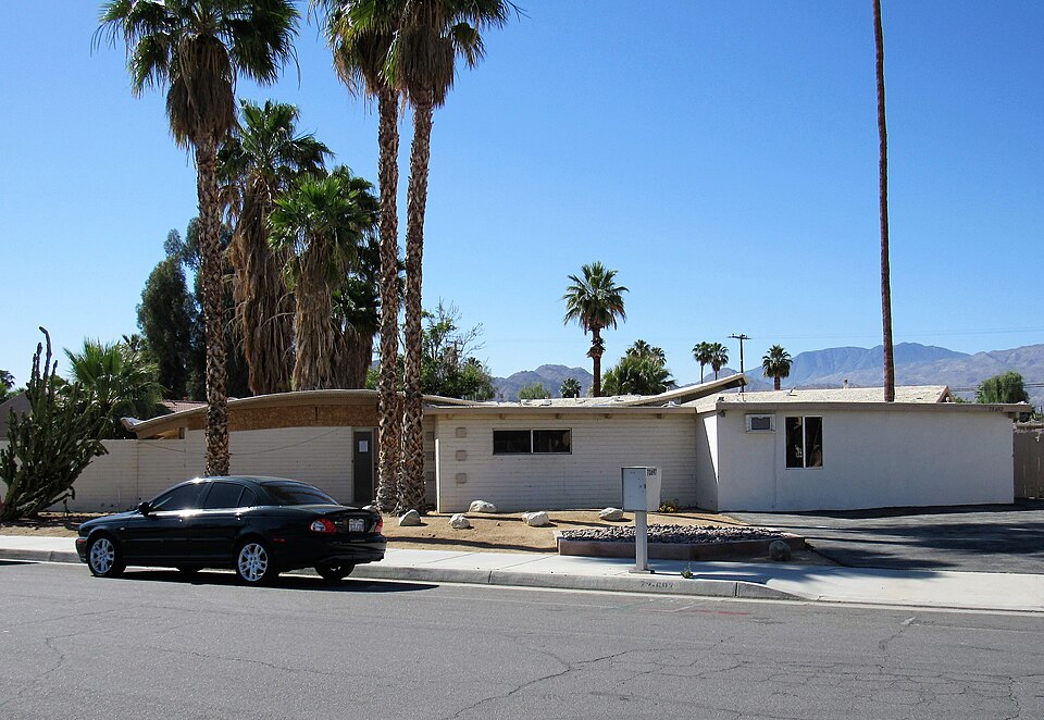
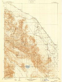
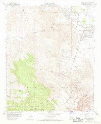
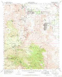
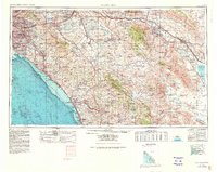
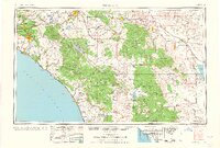
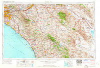
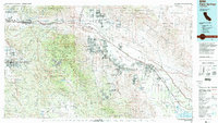
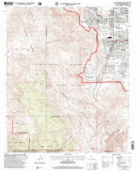
Listed on the National Register of Historic Places in 2018. 13 historic topographic surveys show this location, the earliest from 1904.
One of 90 National Register listings published here for Riverside County · listed in 2018 · category: Building.
Sources: the National Register database, National Park Service
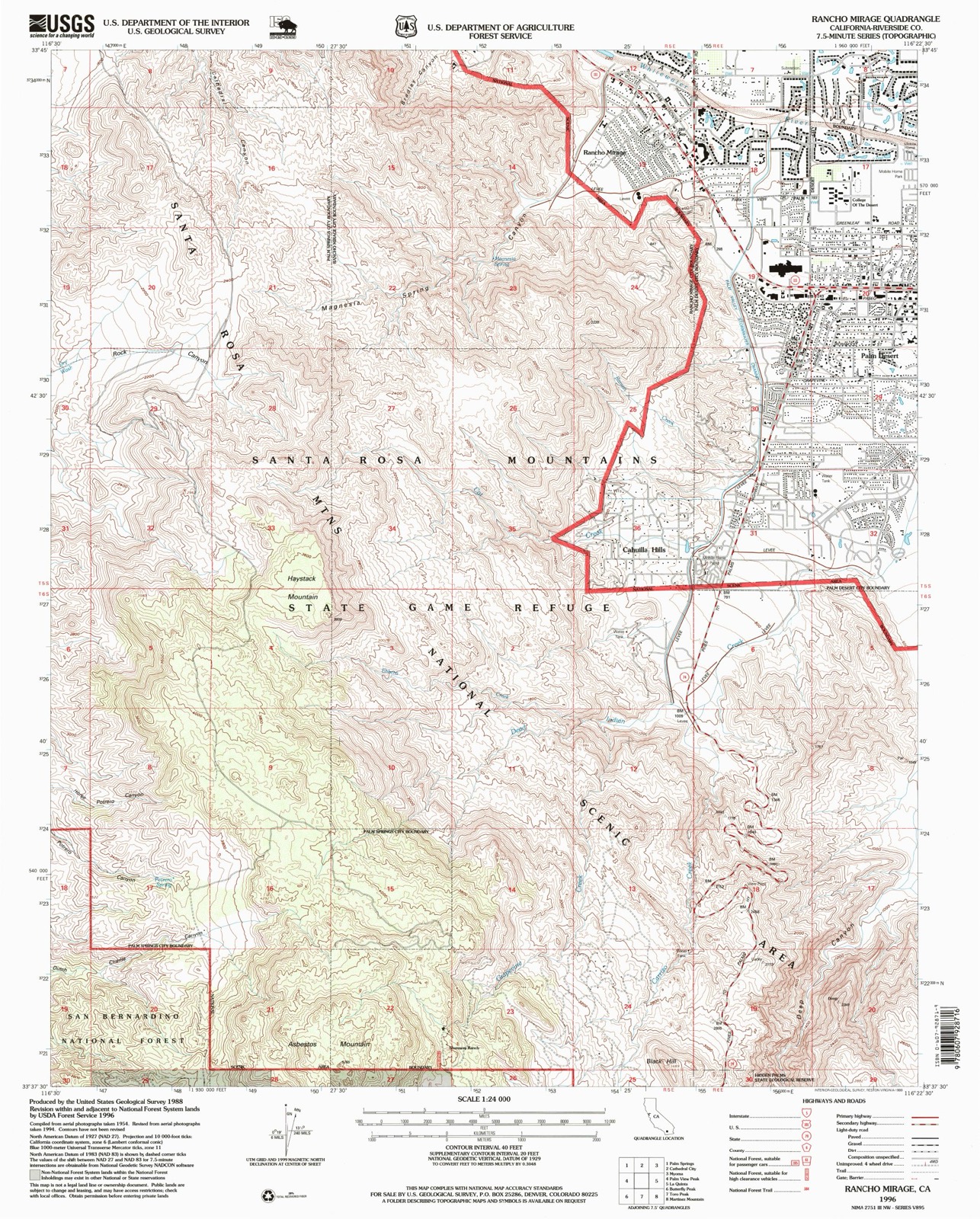
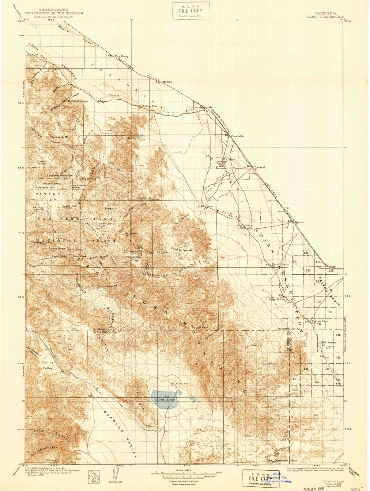
The ground this property stands on, surveyed 92 years apart. Drag the handle to wipe between them. Both sheets are United States Geological Survey originals; neither has been altered.
Regional context, not property-specific evidence. The federal wildfire occurrence database lists 674 fires within 5 miles of Miles C. Bates House between 1992 and 2020, burning about 6,067 acres in total. 18 started naturally. 71 were recorded as arson. Distance is straight-line from the map coordinates, so a fire counted here may appear on a neighbouring settlement's page as well.
| Reported cause | Fires |
|---|---|
| Missing data/not specified/undetermined | 343 |
| Equipment and vehicle use | 117 |
| Arson/incendiarism | 71 |
| Smoking | 47 |
| Misuse of fire by a minor | 40 |
| Natural | 18 |
| Debris and open burning | 17 |
| Recreation and ceremony | 16 |
| Power generation/transmission/distribution | 4 |
| Railroad operations and maintenance | 1 |
The most recent of them, most recent first, with the day each was reported and the service that recorded it.
| Date | Cause | Size | Reported by | Name on the report |
|---|---|---|---|---|
| 7 September 2017 | Natural | under an acre | California Department of Forestry & Fire Protection | MONTEREY AV / SAGEWOOD DR |
| 7 September 2001 | Missing data/not specified/undetermined | under an acre | Coachella Valley National Wildlife Refuge | LOCAL |
| 7 September 2000 | Natural | under an acre | California Desert District | LOCAL FIRE |
| 6 September 2013 | Missing data/not specified/undetermined | 1.0 acres | Riverside Unit | ONE QUAIL PLACE APT PDES |
| 6 September 1993 | Equipment and vehicle use | under an acre | Riverside Unit | LOCAL |
| 5 September 2020 | Missing data/not specified/undetermined | under an acre | Riverside Unit | ARAPAHOE CI INDW |
| 5 September 2019 | Power generation/transmission/distribution | under an acre | Riverside Unit | CALIFORNIA DR PDES |
| 5 September 2019 | Arson/incendiarism | under an acre | Riverside Unit | MARLOWE CT PDES |
Regional context, not property-specific evidence. The federal mineral resources record lists 6 workings within 5 miles of Miles C. Bates House: 4 occurrences, 1 prospect, 1 past producer. None of them still produces. What was taken out: Tungsten, Asbestos, Sand and Gravel, Construction, Limestone, General. Distance is straight-line from the map coordinates, so a quarry counted here may appear on a neighbouring settlement's page as well.
| Where | Site | Commodity | Status | Recorded |
|---|---|---|---|---|
| Cameron Marble Co. | Limestone, General | Occurrence | ||
| Gravel Pit | Sand and Gravel, Construction | Past Producer | ||
| Serpentine Hill | Asbestos | Occurrence | ||
| Cottonwood | Tungsten | Occurrence | Scheelite | |
| Magnesium Canyon Tungsten Mine | Tungsten | Occurrence | Scheelite | |
| Magnesium Canyon Tungsten Mine | Tungsten | Prospect |
Regional context, not property-specific evidence. The National Weather Service names Palm Desert, the town this property stands in, in 17 storm reports between 1998 and 2025: 6 flash flood, 3 thunderstorm wind, 2 lightning, 2 debris flow. No death or injury is recorded in these reports. Each account below is quoted exactly as the forecast office filed it, from the NOAA Storm Events Database, and each date opens the federal record of that event.
| When | Event | Place named | Harm | What the report says |
|---|---|---|---|---|
| August 2013 | Flash Flood | Palm Desert | $200,000 | Widespread flooding was reported in the areas of Indio, Indian Wells and Palm Desert due to very heavy rain. The storm channels in Palm Desert, many of which flow through the middle of golf courses, were running swiftly. Large rocks up to soccer ball size and water up to 2 feet deep covered Fred Waring Drive in Indian Wells, stranding one vehicle. The intersections of Avenues 48 and 49 with Monroe and Madison Streets were both covered with a foot or more of water, stalling at least 3 vehicles. |
| October 2005 | Flash Flood | Palm Desert | $200,000 | Strong orographic lifting on the desert slopes of the mountains caused heavy rain and flash flooding at numerous locations in the Coachella Valley during the early morning hours of the 18th. Several roads were closed in Indio, Cathedral City, Palm Springs, Desert Hot Springs, and Thousand Palms. Residents were urged to boil their water as a precautionary measure after the Coachella Valley Water District's water system was damaged by the storm. Eight families at Tri Palm Estates in Thousand Palms were displaced because of flooding and mud. |
| August 2000 | Flash Flood | Palm Desert | $40,000 | no account filed |
| September 2006 | Flash Flood | Palm Desert | $35,000 | no account filed |
| July 2024 | Hail | Palm Desert | $20,000 | Video of large hail landing in a homeowners pool. Estimate 1 inch or quarter size. |
| September 2006 | Thunderstorm Wind | Palm Desert | $20,000 | no account filed |
| September 2017 | Lightning | Palm Desert | $10,000 | A lightning strike struck a palm tree, catching the tree and a residence on fire. |
| March 2020 | Lightning | Palm Desert | $5,000 | Riverside County Fire responded to a palm tree on fire next to a home. The tree was struck by lightning. |
| August 2000 | Thunderstorm Wind | Palm Desert | $5,000 | no account filed |
| July 2021 | Flash Flood | Palm Desert | $1,000 | Caltrans reports boulders in the roadway near Vista Point on SR 74. |
| September 2025 | Thunderstorm Wind | Palm Desert | - | SCE Painted Canyon Rd observation station reported wind gust of 62 mph. |
| October 2022 | Debris Flow | Palm Desert | - | Dirt, debris, and rocks on Palowet Drive at Highway 74. |
| July 2021 | Heavy Rain | Palm Desert | - | CoCoRaHS station CA-RV-72 Palm Desert 2.1 ENE reported 0.81 inch of heavy rain. |
| August 2018 | Debris Flow | Palm Desert | - | CHP reported boulders across the roadway on Highway 74 in Pinyon Pines near the fire station. No injuries or damages were reported. |
| August 2013 | Flash Flood | Palm Desert | - | The intersection of Paisano Road and Cholla Way was washed out and impassable with flash flooding occurring. |
| February 2001 | Funnel Cloud | Palm Desert | - | no account filed |
| October 1998 | Flood | Palm Desert | - | no account filed |
United States Geological Survey topographic sheets whose coverage includes this point. Matched by taking the coordinate the National Park Service records for this property, then testing that coordinate against the published boundary of every sheet.
Other National Register properties close enough to walk or drive between, ordered by distance from this one. Both positions come from the same geocoding pass that matched these properties to their map sheets.
| Photograph | Property | Distance | Listed |
|---|---|---|---|
 | Kenaston House | 3.2 miles | 2016 |
| National Archives record | The nomination case file for reference 100002238 in Record Group 79. |
| Riverside County | All 90 listed properties in this county. |