Block
BlockFrom the record
One of 98 National Register listings published here for San Bernardino County · listed in 2018 · category: Structure.
Sources: the National Register database, National Park Service · the Wikipedia article

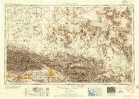
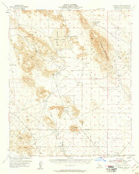
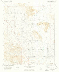
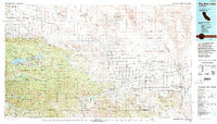
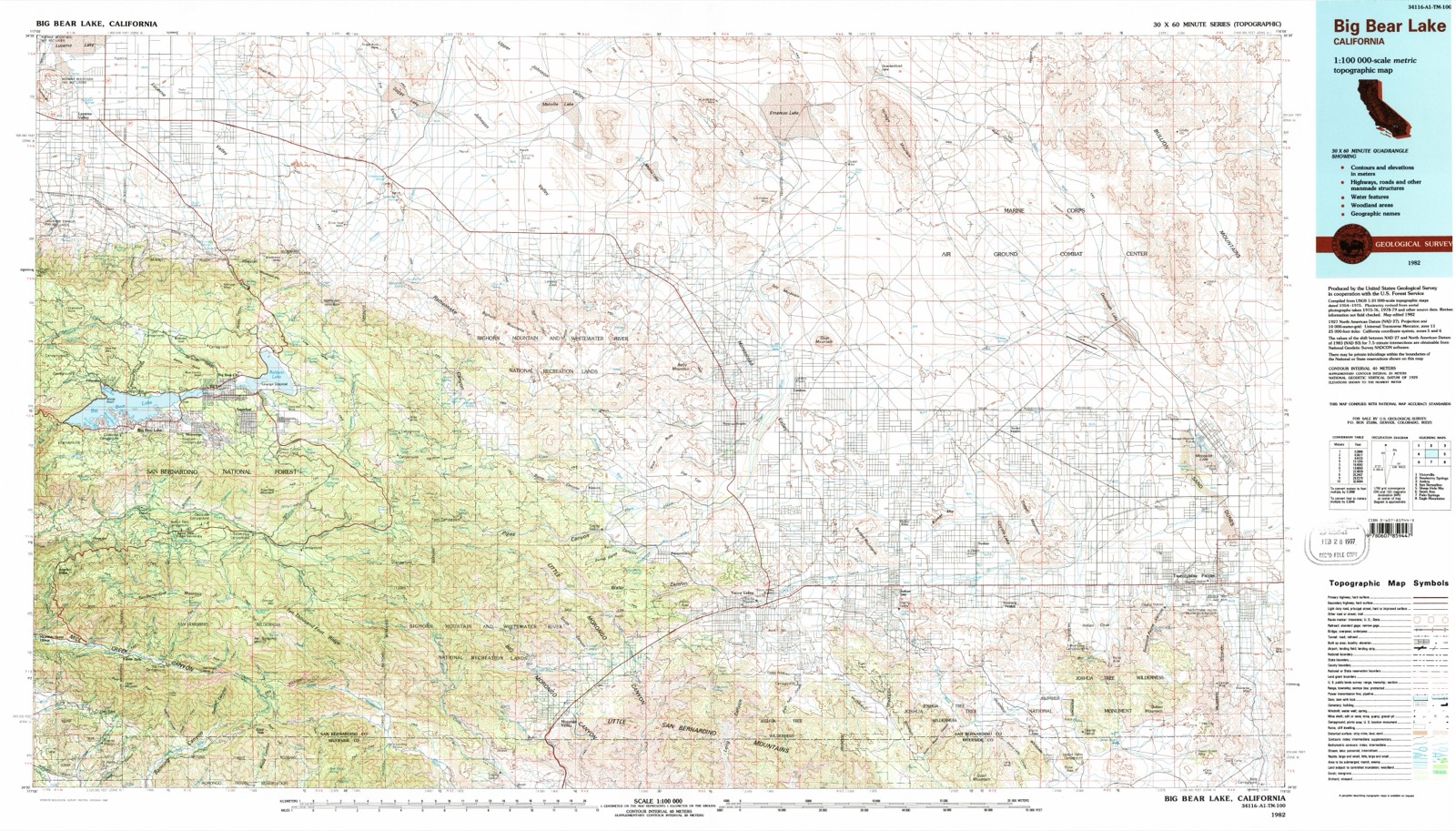
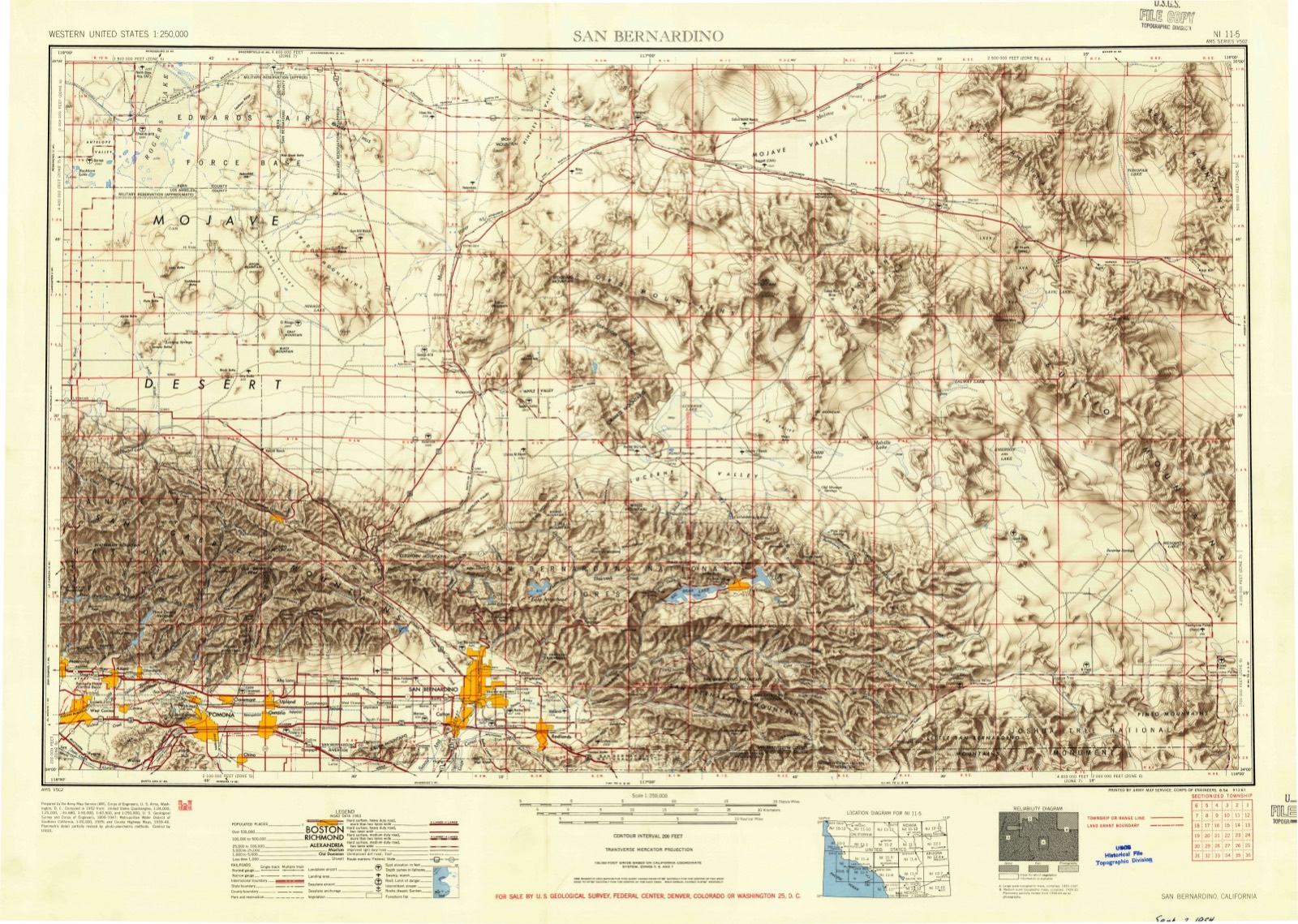
Listed on the National Register of Historic Places in 2018. 9 historic topographic surveys show this location, the earliest from 1953.
One of 98 National Register listings published here for San Bernardino County · listed in 2018 · category: Structure.
Sources: the National Register database, National Park Service · the Wikipedia article
The ground this property stands on, surveyed 29 years apart. Drag the handle to wipe between them. Both sheets are United States Geological Survey originals; neither has been altered.
Regional context, not property-specific evidence. The federal wildfire occurrence database lists 25 fires within 5 miles of Integratron between 1992 and 2020, burning about 121 acres in total. 2 started naturally. 2 were recorded as arson. Distance is straight-line from the map coordinates, so a fire counted here may appear on a neighbouring settlement's page as well.
| Reported cause | Fires |
|---|---|
| Missing data/not specified/undetermined | 12 |
| Debris and open burning | 3 |
| Arson/incendiarism | 2 |
| Natural | 2 |
| Smoking | 2 |
| Misuse of fire by a minor | 1 |
| Equipment and vehicle use | 1 |
| Power generation/transmission/distribution | 1 |
| Recreation and ceremony | 1 |
The most recent of them, most recent first, with the day each was reported and the service that recorded it.
| Date | Cause | Size | Reported by | Name on the report |
|---|---|---|---|---|
| 21 September 1998 | Missing data/not specified/undetermined | 1.0 acres | California Desert District | RICHY |
| 12 September 1998 | Missing data/not specified/undetermined | under an acre | California Desert District | PINE |
| 4 August 2020 | Missing data/not specified/undetermined | under an acre | California Desert District | DUMP |
| 29 August 1998 | Smoking | under an acre | San Bernardino Unit | SMALL SPOT |
| 17 August 2015 | Natural | under an acre | California Desert District | DUMP |
| 4 June 1998 | Equipment and vehicle use | under an acre | San Bernardino Unit | HOPI |
| 29 June 2005 | Missing data/not specified/undetermined | 9.1 acres | California Desert District | RECHE |
| 26 June 1998 | Recreation and ceremony | 4.0 acres | California Desert District | VALLIHI |
Regional context, not property-specific evidence. The federal mineral resources record lists 3 workings within 5 miles of Integratron: 2 occurrences, 1 unknown. None of them still produces. What was taken out: Manganese, Niobium (Columbium), Tantalum, REE, Thorium. Distance is straight-line from the map coordinates, so a quarry counted here may appear on a neighbouring settlement's page as well.
| Where | Site | Commodity | Status | Recorded |
|---|---|---|---|---|
| Rock Corral Area | Niobium (Columbium), Tantalum, REE, Thorium | Occurrence | Allanite, Euxenite | |
| Vivian Prospect | Manganese | Occurrence | ||
| Vivian Prospect | Manganese | Unknown | 1918 |
Regional context, not property-specific evidence. The National Weather Service names Landers, the town this property stands in, in 10 storm reports between 2011 and 2022: 7 flash flood, 1 hail, 1 lightning, 1 tornado. No death or injury is recorded in these reports. Each account below is quoted exactly as the forecast office filed it, from the NOAA Storm Events Database, and each date opens the federal record of that event.
| When | Event | Place named | Harm | What the report says |
|---|---|---|---|---|
| October 2018 | Flash Flood | Landers | $500,000 | Major flash flooding occurred in the Morongo Basin. A spotter recorded 2.27 inches of rain between midnight and 630 AM PDT. Many roads were flooded or washed out, and numerous vehicles, including a fire truck, were either washed off the roads or stuck in flood waters and/or mud. Three water lines were broken, leaving many customers without water for up to 36 hours. |
| October 2015 | Lightning | Landers | $10,000 | Lightning knocked out power to over 4000 customers and set fire to a palm tree between Landers and Twentynine Palms. |
| August 2013 | Flash Flood | Landers | $5,000 | Six to 12 inches of water and mud flowed across Highway 247 at Reche Road and also Belfield Blvd. at Encantado Blvd. in Landers. One vehicle was washed away. |
| October 2015 | Flash Flood | Landers | $2,000 | A vehicle was stuck in a flooded wash on Winter Road. |
| August 2022 | Flash Flood | Landers | $1,000 | The intersection of Lilac and Acoma was flooded. The spotter measured 0.66 of rain in 25 minutes. |
| June 2015 | Flash Flood | Landers | $1,000 | Water, rocks, and debris flowed over Linn Road and Belfield Boulevard. A nearby spotter reported half an inch of rain in less than half an hour. |
| July 2015 | Flash Flood | Landers | $1,000 | Water one foot deep flowed over Reche Road at Sunny Vista. |
| August 2012 | Flash Flood | Landers | $1,000 | Six inches of water along with rocks and debris flowed across Avalon Avenue between Winters and Aberdeen. |
| July 2015 | Tornado (EF0) | Landers | - | Two landspouts were photographed in open desert just north of Landers. No damage occurred. |
| September 2011 | Hail | Landers | - | no account filed |
United States Geological Survey topographic sheets whose coverage includes this point. Matched by taking the middle of the area the National Park Service maps for this listing, then testing that coordinate against the published boundary of every sheet.
| National Archives record | The nomination case file for reference 100002317 in Record Group 79. |
| Wikipedia article | Community-written account of this property, licensed CC BY-SA. |
| San Bernardino County | All 98 listed properties in this county. |