Block
BlockFrom the record
One of 90 National Register listings published here for Riverside County · listed in 2023 · category: District.
Sources: the National Register database, National Park Service
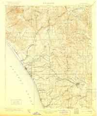
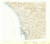
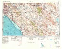
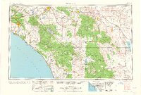
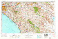
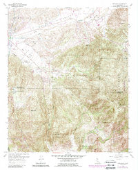
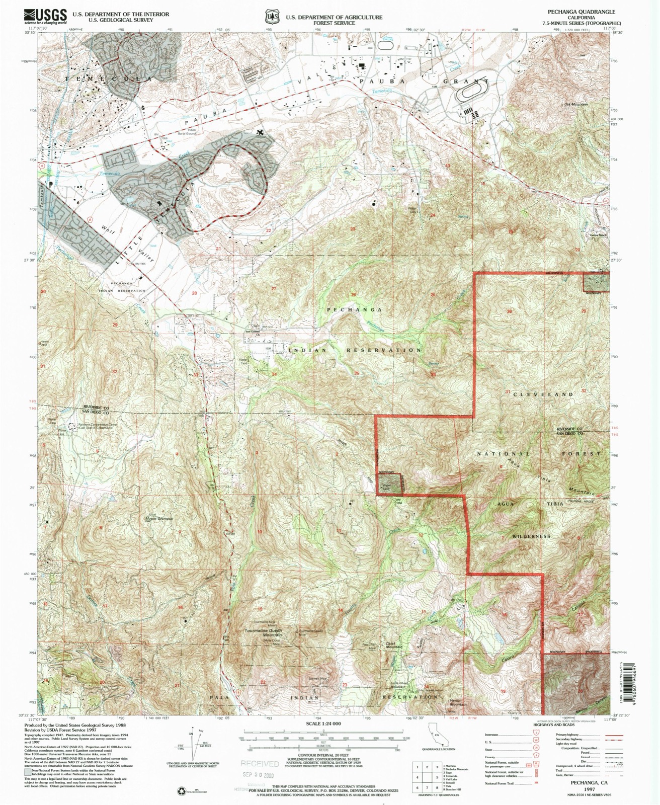
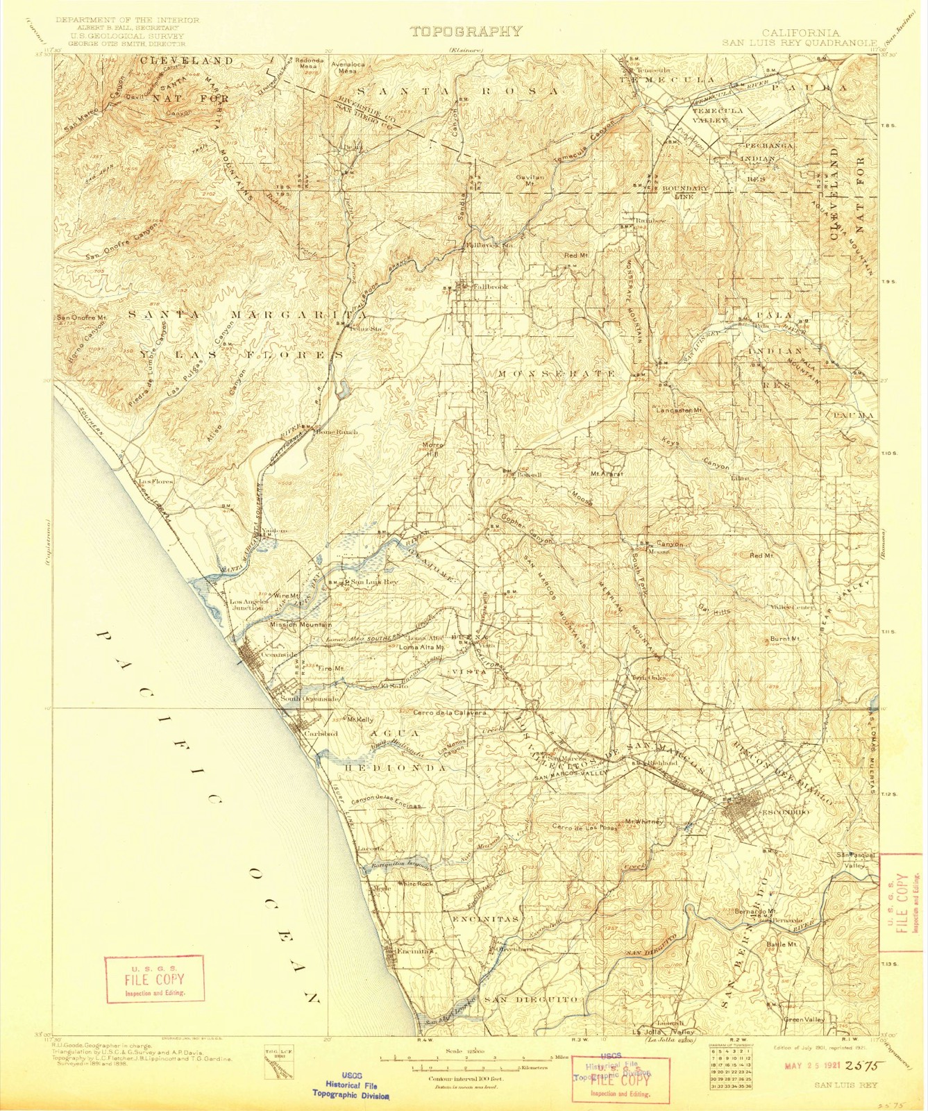
Listed on the National Register of Historic Places in 2023. 14 historic topographic surveys show this location, the earliest from 1901.
One of 90 National Register listings published here for Riverside County · listed in 2023 · category: District.
Sources: the National Register database, National Park Service
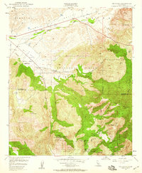
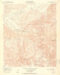
The ground this property stands on, surveyed 96 years apart. Drag the handle to wipe between them. Both sheets are United States Geological Survey originals; neither has been altered.
Regional context, not property-specific evidence. The federal wildfire occurrence database lists 772 fires within 5 miles of Wolf Store and Vail Ranch Headquarters between 1992 and 2020, burning about 26,026 acres in total. 5 started naturally. 72 were recorded as arson. Distance is straight-line from the map coordinates, so a fire counted here may appear on a neighbouring settlement's page as well.
| Reported cause | Fires |
|---|---|
| Missing data/not specified/undetermined | 382 |
| Equipment and vehicle use | 150 |
| Misuse of fire by a minor | 76 |
| Arson/incendiarism | 72 |
| Smoking | 46 |
| Debris and open burning | 31 |
| Natural | 5 |
| Power generation/transmission/distribution | 5 |
| Recreation and ceremony | 4 |
| Fireworks | 1 |
The most recent of them, most recent first, with the day each was reported and the service that recorded it.
| Date | Cause | Size | Reported by | Name on the report |
|---|---|---|---|---|
| 9 September 2019 | Arson/incendiarism | 1.0 acres | Riverside Unit | MORENO RD / OLD TOWN FRON |
| 9 September 2016 | Missing data/not specified/undetermined | under an acre | California Department of Forestry & Fire Protection | VIA NORTE TEM |
| 9 September 2011 | Missing data/not specified/undetermined | under an acre | Riverside Unit | MISSIONS |
| 8 September 2019 | Missing data/not specified/undetermined | under an acre | Riverside Unit | BLUE WATER WY TEM |
| 8 September 2019 | Missing data/not specified/undetermined | 1.0 acres | Riverside Unit | 6TH ST / OLD TOWN FRONT S |
| 8 September 2019 | Missing data/not specified/undetermined | under an acre | Riverside Unit | BUNKER DR TEM |
| 8 September 2005 | Equipment and vehicle use | under an acre | Riverside Unit | LOCAL FIRE |
| 8 September 1994 | Equipment and vehicle use | under an acre | Riverside Unit | LOCAL |
Regional context, not property-specific evidence. The federal mineral resources record lists 6 workings within 5 miles of Wolf Store and Vail Ranch Headquarters: 3 past producers, 2 occurrences, 1 producer. 1 still produces. What was taken out: Manganese, Stone, Dimension, Stone, Crushed/Broken, Granite. Distance is straight-line from the map coordinates, so a quarry counted here may appear on a neighbouring settlement's page as well.
| Where | Site | Commodity | Status | Recorded |
|---|---|---|---|---|
| Parkwest Industrial Center Pit | Stone, Crushed/Broken | Past Producer | ||
| Temecula Quarry | Stone, Dimension | Past Producer | ||
| Temecula Quarry | Granite | Past Producer | ||
| Temecula Sand Company Pit | Sand and Gravel, Construction | Producer | ||
| Machado Prospect | Manganese | Occurrence | ||
| Machado Prospect | Manganese | Occurrence |
Regional context, not property-specific evidence. The National Weather Service names Temecula, the town this property stands in, in 25 storm reports between 1999 and 2025: 6 wildfire, 6 flash flood, 4 flood, 4 heavy rain. The reports record 37 injuries. Each account below is quoted exactly as the forecast office filed it, from the NOAA Storm Events Database, and each date opens the federal record of that event.
| When | Event | Place named | Harm | What the report says |
|---|---|---|---|---|
| February 2003 | Heavy Rain | Temecula | 24 hurt, $250,000 | no account filed |
| August 2000 | Wildfire | Temecula | 9 hurt, $40,000 | no account filed |
| July 2000 | Wildfire | Temecula | 3 hurt | no account filed |
| July 2002 | Wildfire | Temecula | 1 hurt | no account filed |
| January 2005 | Flash Flood | Temecula | $5,000,000 | no account filed |
| February 2005 | Tornado (F1) | Temecula | $100,000 | no account filed |
| August 2017 | Thunderstorm Wind | Temecula | $50,000 | A severe downburst struck Temecula and Murrieta, winds overturned a big rig, downed trees, and damaged traffic signals. |
| February 2004 | Flash Flood | Temecula | $25,000 | no account filed |
| January 2005 | Flash Flood | Temecula | $15,000 | no account filed |
| September 2024 | Thunderstorm Wind | Temecula | $10,000 | Socal Edison weather station on Santa Margarita River preserve. This area was survey by WCM but could not find any wind damage. Local residents reported strong wind. |
| February 2004 | Flash Flood | Temecula | $10,000 | no account filed |
| June 2025 | Heavy Rain | Temecula | - | A public source reported heavy rain, with a measured 1.10 inches of rain within a brief period of time. |
| March 2023 | Flood | Temecula | - | Roads near the intersection of Anza Road and De Portola Road were shut down due to flowing water and a mud slide. A jeep vehicle required a rescue after it was stuck in 2 feet of flowing water and mud. About 1.4 inches of rain fell in this area in the previous 12 hours, with 1 inch falling in 6 hours. |
| March 2023 | Flood | Temecula | - | A trained spotter in Temecula shared a photo of a flooded road crossing near Murrieta Creek. |
| January 2021 | Heavy Rain | Temecula | - | Spotter reports 1.6 inches of heavy rainfall. |
| December 2020 | Flood | Temecula | - | CalTrans reports Interstate 15 South at Temecula Parkway/Highway 79 with mud and water in lanes 1 and 2. The area measured 1.5 to 1.9 inch rainfall in 24 hours. |
| December 2014 | Flash Flood | Temecula | - | CHP reported that the road needs to be closed due to flooding at Rancho California Road and Anza Road. |
| September 2013 | Flash Flood | Temecula | - | Roadway flooding 1/2 mile south of the SR79 and SR371 juncture. Several washes were flowing over the roadway with mud in the roadway. |
| February 2001 | Flood | Temecula | - | Heavy rain and runoff caused mud slides and street flooding across the southern end of the Inland Empire. Canyon Lake rose to within inches of overtopping Railroad Canyon Dam. |
| November 2003 | Funnel Cloud | Temecula | - | no account filed |
| April 2003 | Heavy Rain | Temecula | - | no account filed |
| July 2003 | Wildfire | Temecula | - | no account filed |
| June 2002 | Wildfire | Temecula | - | no account filed |
| July 2000 | Wildfire | Temecula | - | no account filed |
| April 1999 | Funnel Cloud | Temecula | - | no account filed |
United States Geological Survey topographic sheets whose coverage includes this point. Matched by taking the coordinate the National Park Service records for this property, then testing that coordinate against the published boundary of every sheet.
| National Archives record | The nomination case file for reference 100009030 in Record Group 79. |
| Riverside County | All 90 listed properties in this county. |