Block
BlockFrom the record
One of 22 National Register listings published here for Nevada County · category: Site.
Sources: the National Register database, National Park Service
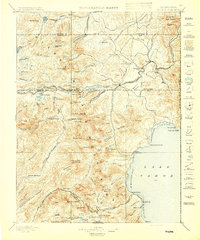
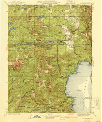
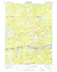
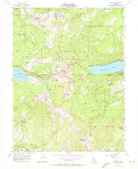
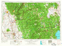
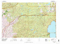
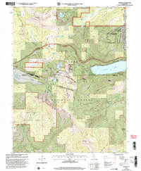
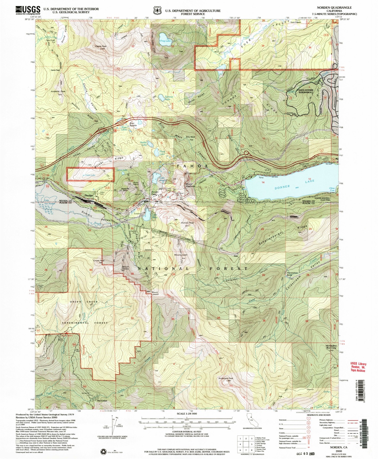
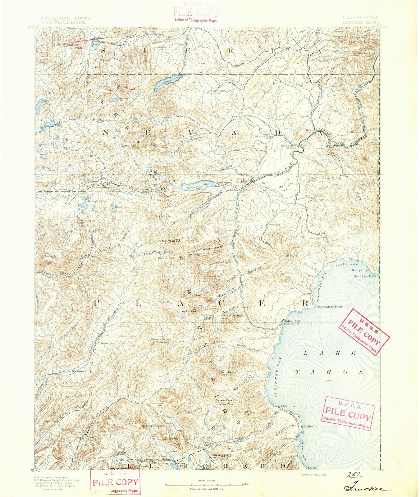
Listed on the National Register of Historic Places. 11 historic topographic surveys show this location, the earliest from 1891.
One of 22 National Register listings published here for Nevada County · category: Site.
Sources: the National Register database, National Park Service
The ground this property stands on, surveyed 109 years apart. Drag the handle to wipe between them. Both sheets are United States Geological Survey originals; neither has been altered.
Regional context, not property-specific evidence. The federal wildfire occurrence database lists 136 fires within 5 miles of Summit Camp between 1992 and 2020, burning about 494 acres in total. 38 started naturally. 4 were recorded as arson. Distance is straight-line from the map coordinates, so a fire counted here may appear on a neighbouring settlement's page as well.
| Reported cause | Fires |
|---|---|
| Missing data/not specified/undetermined | 51 |
| Natural | 38 |
| Recreation and ceremony | 14 |
| Equipment and vehicle use | 12 |
| Debris and open burning | 11 |
| Arson/incendiarism | 4 |
| Misuse of fire by a minor | 3 |
| Smoking | 3 |
The most recent of them, most recent first, with the day each was reported and the service that recorded it.
| Date | Cause | Size | Reported by | Name on the report |
|---|---|---|---|---|
| 9 September 2020 | Arson/incendiarism | 100 acres | Nevada-Yuba-Placer Unit | SKI AREA BOREAL TRUCKEE_F |
| 9 September 2016 | Missing data/not specified/undetermined | under an acre | California Department of Forestry & Fire Protection | EDIE |
| 8 September 2020 | Arson/incendiarism | under an acre | Nevada-Yuba-Placer Unit | WB I80 AND SODA SPRINGS T |
| 5 September 2017 | Natural | under an acre | California Department of Forestry & Fire Protection | EUER |
| 5 September 2016 | Missing data/not specified/undetermined | under an acre | California Department of Forestry & Fire Protection | BOREAL |
| 28 September 2019 | Debris and open burning | under an acre | Nevada-Yuba-Placer Unit | SODA |
| 26 September 2019 | Missing data/not specified/undetermined | under an acre | Nevada-Yuba-Placer Unit | YUBA DR / SHORT RD |
| 26 September 2012 | Recreation and ceremony | under an acre | Tahoe National Forest | KNOB |
Regional context, not property-specific evidence. The federal mineral resources record lists 1 working within 5 miles of Summit Camp: 1 occurrence. None of them still produces. What was taken out: Uranium. Distance is straight-line from the map coordinates, so a quarry counted here may appear on a neighbouring settlement's page as well.
| Where | Site | Commodity | Status | Recorded |
|---|---|---|---|---|
| Castle Rock Lodes | Uranium | Occurrence |
Regional context, not property-specific evidence. The National Weather Service names Norden, the town this property stands in, in 11 storm reports between 2005 and 2025: 7 heavy rain, 3 debris flow, 1 flood. The reports record 1 injury. Each account below is quoted exactly as the forecast office filed it, from the NOAA Storm Events Database, and each date opens the federal record of that event.
| When | Event | Place named | Harm | What the report says |
|---|---|---|---|---|
| December 2016 | Debris Flow | Norden | 1 hurt, $2,000 | The California Highway Patrol reported large boulders on Interstate 80 just west of the Donner Lake Interchange. A pickup truck ran into one of the boulders resulting in an injury. |
| December 2005 | Flood | Norden | $1,000,000 | Interstate 80 was closed because of a large mudslide approximately 5 miles east of Truckee. The mudslide occurred at around 3 am on December 31st, blocking both directions on the Interstate. California Highway 89 was also closed due to a mudslide. Donner Creek caused flooding of some buildings in Truckee. This was the second largest flood of record on Donner Creek. California Highway 89 was closed across Nevada County from Truckee to the Sierra County line. |
| January 2017 | Debris Flow | Norden | $480,000 | A large mudslide near the Donner Lake Interchange on Interstate 80 caused the closure of the freeway. The westbound lanes closed at 1802PST, followed by the eastbound lanes (downed power lines) at 1918PST. The road was completely closed between Kingvale and Truckee until 0520PST on the 9th when it was opened for local traffic and law enforcement. The freeway was fully opened at 1040PST on the 9th. The damage estimate was obtained from a preliminary damage assessment from CALTRANS. |
| August 2025 | Heavy Rain | Norden | - | Thunderstorm rainfall total of 0.99 inches. The Donner Lake HADS near Truckee also reported 1.12 inches of rainfall. |
| November 2023 | Heavy Rain | Norden | - | A CoCoRahs station (CA-NV-51) located 1.6 mi N of Truckee, CA, reported a rainfall storm total of 0.59 inches, as well as 0.5 inches of snow. A mesonet station (DNRC1) located 1.9 mi NE of Donner Peak, CA, and a local official located at the Central Sierra Snow Lab, CA, reported rainfall storm totals of 1.12 inches and 2.20 respectively. |
| June 2023 | Debris Flow | Norden | - | The California Highway Patrol-Truckee reported the closure of portions of Donner Pass Road (Old Highway 40) due to a rock slide/large boulder in the road between Sugar Bowl and Truckee after thunderstorms brought locally heavy rain the day before. |
| March 2019 | Heavy Rain | Norden | - | Mesonet station DNRC1, near Donner Lake reported 0.90 inches of rainfall in a 24 hour period from 27 March 0900PST to 28 March 0900PST. Mesonet elevation 5924 feet MSL. |
| December 2018 | Heavy Rain | Norden | - | Mesonet DNRC1 near Donner Lake reported 1.37 inches of rainfall over a 24-hour period from 24 December 0700PST to 25 December 0700PST. |
| March 2018 | Heavy Rain | Norden | - | Mesonet station DNRC1, Donner Lake reported 1.01 inches of rain from 13 March 0345PST to 14 March 0500PST. |
| April 2018 | Heavy Rain | Norden | - | Mesonet station DNRC1, Donner Lake (elevation 5924 feet) reported 2.80 inches of rainfall in a 24 hour period from 6 April 0700PST to 7 April 0700PST. |
| November 2017 | Heavy Rain | Norden | - | HADS sensor at Donner Lake measured 4.80 inches of rain from 15 November 0830PST to 16 November 0830PST. |
United States Geological Survey topographic sheets whose coverage includes this point. Matched by taking the middle of the area the National Park Service maps for this listing, then testing that coordinate against the published boundary of every sheet.
Other National Register properties close enough to walk or drive between, ordered by distance from this one. Both positions come from the same geocoding pass that matched these properties to their map sheets.
| Photograph | Property | Distance | Listed |
|---|---|---|---|
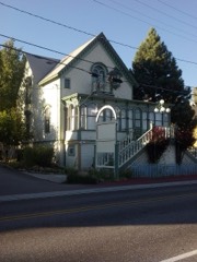 | Kruger House | 7.1 miles | 1982 |
| Truckee Veterans Memorial Building | 7.2 miles | 2021 | |
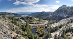 | Donner Camp | 7.4 miles | 1966 |
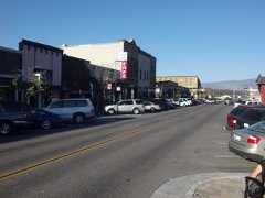 | Commercial Row-Brickelltown Historic District | 7.9 miles | 2009 |
| National Archives record | The nomination case file for reference 100011384 in Record Group 79. |
| Nevada County | All 22 listed properties in this county. |