Block
BlockFrom the record
One of 98 National Register listings published here for San Bernardino County · listed in 2012 · category: Building.
Sources: the case file at the National Archives · the National Register database, National Park Service
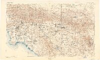
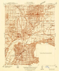
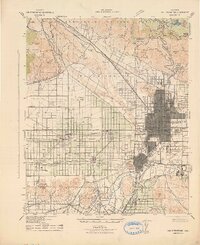
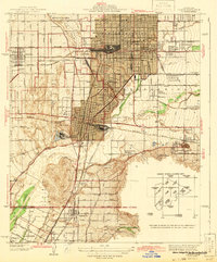
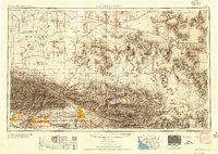
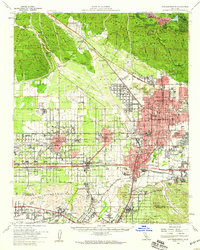
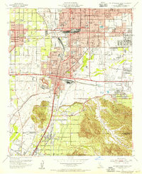
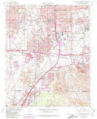
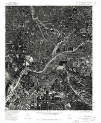
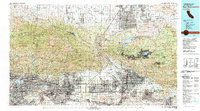
Listed on the National Register of Historic Places in 2012. 19 historic topographic surveys show this location, the earliest from 1896.
One of 98 National Register listings published here for San Bernardino County · listed in 2012 · category: Building.
Sources: the case file at the National Archives · the National Register database, National Park Service
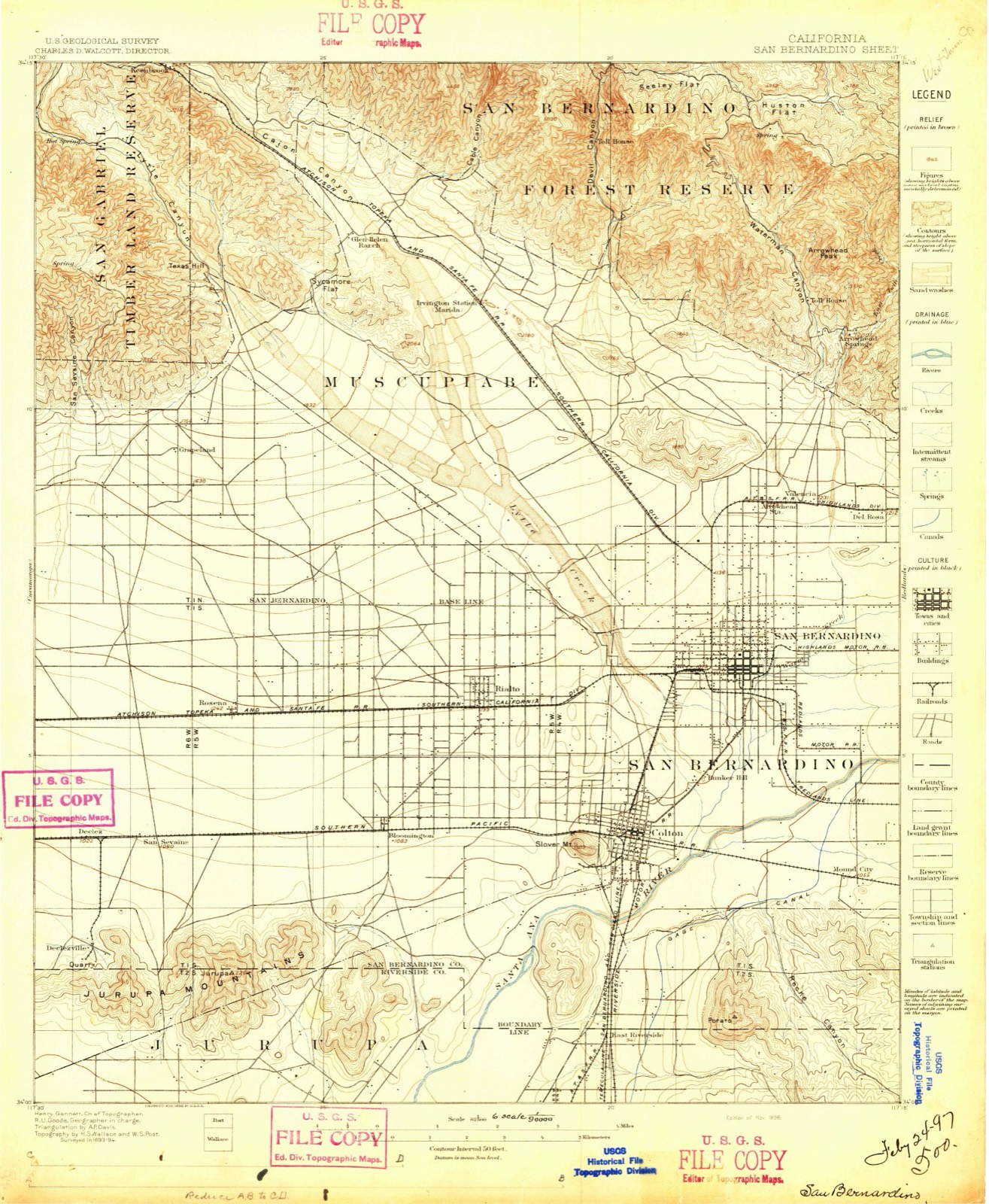
The ground this property stands on, surveyed 86 years apart. Drag the handle to wipe between them. Both sheets are United States Geological Survey originals; neither has been altered.
Regional context, not property-specific evidence. The federal wildfire occurrence database lists 759 fires within 5 miles of Wigwam Village No. 7 between 1992 and 2020, burning about 1,037 acres in total. 2 started naturally. 104 were recorded as arson. Distance is straight-line from the map coordinates, so a fire counted here may appear on a neighbouring settlement's page as well.
| Reported cause | Fires |
|---|---|
| Missing data/not specified/undetermined | 499 |
| Arson/incendiarism | 104 |
| Equipment and vehicle use | 63 |
| Misuse of fire by a minor | 38 |
| Smoking | 27 |
| Debris and open burning | 15 |
| Recreation and ceremony | 5 |
| Railroad operations and maintenance | 3 |
| Natural | 2 |
| Power generation/transmission/distribution | 2 |
| Other causes | 1 |
The most recent of them, most recent first, with the day each was reported and the service that recorded it.
| Date | Cause | Size | Reported by | Name on the report |
|---|---|---|---|---|
| 9 September 2018 | Missing data/not specified/undetermined | under an acre | California Department of Forestry & Fire Protection | not named |
| 9 September 2018 | Missing data/not specified/undetermined | under an acre | California Department of Forestry & Fire Protection | not named |
| 9 September 2018 | Missing data/not specified/undetermined | under an acre | California Department of Forestry & Fire Protection | not named |
| 7 September 2010 | Missing data/not specified/undetermined | 2.0 acres | California Department of Forestry & Fire Protection | not named |
| 7 September 2005 | Missing data/not specified/undetermined | under an acre | California Department of Forestry & Fire Protection | not named |
| 7 September 1993 | Recreation and ceremony | 1.0 acres | San Bernardino Unit | RAILROAD |
| 6 September 2007 | Missing data/not specified/undetermined | under an acre | California Department of Forestry & Fire Protection | not named |
| 6 September 2006 | Missing data/not specified/undetermined | under an acre | California Department of Forestry & Fire Protection | not named |
Regional context, not property-specific evidence. The federal mineral resources record lists 29 workings within 5 miles of Wigwam Village No. 7: 22 past producers, 7 producers. 7 still produce. What was taken out: Sand and Gravel, Construction, Limestone, General, Calcium, Marble, Dimension. Distance is straight-line from the map coordinates, so a quarry counted here may appear on a neighbouring settlement's page as well.
| Where | Site | Commodity | Status | Recorded |
|---|---|---|---|---|
| Colton Cement Plant | Limestone, General, Calcium, Cement Rock | Producer | ||
| Lytle Creek Pit A | Sand and Gravel, Construction, Limestone, General, Stone, Crushed/Broken | Past Producer | ||
| San Bernardino Plant | Limestone, Dimension | Producer | ||
| Santa Ana River Pit | Silica | Past Producer | ||
| Slover Mountain Quarry | Calcium, Marble, Dimension | Past Producer | ||
| Calif. Portland Cement Co. | Limestone, General | Past Producer | Sedimentary | |
| Colton Deposit | Limestone, General | Past Producer | ||
| San Bernadino Plant | Limestone, General | Producer | ||
| Bloomington Pit | Sand and Gravel, Construction | Past Producer | ||
| Colton Pit and Mill | Sand and Gravel, Construction | Past Producer | Sedimentary |
Regional context, not property-specific evidence. The National Weather Service names San Bernardino, the town this property stands in, in 24 storm reports between 1997 and 2024: 9 flash flood, 9 wildfire, 2 thunderstorm wind, 2 flood. The reports record 5 deaths and 8 injuries. Each account below is quoted exactly as the forecast office filed it, from the NOAA Storm Events Database, and each date opens the federal record of that event.
| When | Event | Place named | Harm | What the report says |
|---|---|---|---|---|
| October 2003 | Wildfire | San Bernardino | 4 killed, 5 hurt, $696,400,000 | no account filed |
| October 2004 | Flash Flood | San Bernardino | 1 killed, $100,000 | Heavy rains over the San Bernardino Mountains caused a torrent of mud and water to run down Lytle Creek. More than three feet of mud was deposited on Glen Helen Rd and Lytle Creek. One car was swept away and burried in the mud. No one was in the car at the time. A week later on October 26, the body of a 49 year-old man was found tangled in mud and trees near the Lytle Creek ranger station. It appears likely that this man was swept away in the flood waters from the October 20 storm. |
| June 2002 | Wildfire | San Bernardino | 3 hurt, $300,000 | no account filed |
| October 1997 | Flash Flood | San Bernardino | $2,500,000 | no account filed |
| October 1999 | Wildfire | San Bernardino | $550,000 | no account filed |
| October 2006 | Flash Flood | San Bernardino | $200,000 | no account filed |
| January 2002 | Wildfire | San Bernardino | $45,000 | no account filed |
| August 2017 | Thunderstorm Wind | San Bernardino | $35,000 | Severe winds downed a large tree (diameter > 2 ft) on a home in San Bernardino. A brief funnel cloud was also reported. |
| February 2004 | Flash Flood | San Bernardino | $30,000 | no account filed |
| February 2004 | Flash Flood | San Bernardino | $20,000 | no account filed |
| December 2004 | Flash Flood | San Bernardino | $15,000 | Mud and rock slide in upper Waterman Canyon. |
| February 2014 | Thunderstorm Wind | San Bernardino | $10,000 | The Press Enterprise reported a large tree fallen on North Macy Street in San Bernardino, crushing the front of a car. A line of showers with lightning was crossing the mountains and high deserts at the time. |Nearby, in Fontana, an emergency manager reported a roof collapse due to the gusty wind and rain. |
| February 2004 | Flash Flood | San Bernardino | $10,000 | no account filed |
| December 2006 | Lightning | San Bernardino | $2,000 | Lightning caused damage to three homes in San Bernardino. |
| February 2024 | Flood | San Bernardino | - | The off-ramp from I-215 South near Base Line St in San Bernardino was closed due to flooding. |
| March 2023 | Flood | San Bernardino | - | The intersection of I-210 and 5th street was flooded after 1.10 inches of rain had fallen in the area, over the course of 8 hours. |
| May 2015 | Funnel Cloud | San Bernardino | - | Funnel cloud reported near San Bernardino by a local resident. |
| August 2014 | Flash Flood | San Bernardino | - | CHP reported the east and west bound lanes of Interstate 210 were flooded. CHP also reported Marshall Boulevard flooded between Sterling and Arden Avenues, with vehicles stuck in the roadway. A couple hours later, the California Department of Forestry reported significant flooding in the city of Highland in the area of Baseline Road. Everyone was advised to shelter in place while they check for people stuck in water/mud. |
| September 2004 | Flash Flood | San Bernardino | - | Law enforcement reported Amboy Rd. was closed from Twentynine Palms to Sheep Hole Pass. Power lines were also down along with debris in the roadway. |
| January 1999 | Wildfire | San Bernardino | - | A 25 acre brush fire fanned by 30 mph winds, forced the evacation of 100 residents. |
| July 2003 | Wildfire | San Bernardino | - | no account filed |
| May 2002 | Wildfire | San Bernardino | - | no account filed |
| July 2002 | Wildfire | San Bernardino | - | no account filed |
| September 2001 | Wildfire | San Bernardino | - | no account filed |
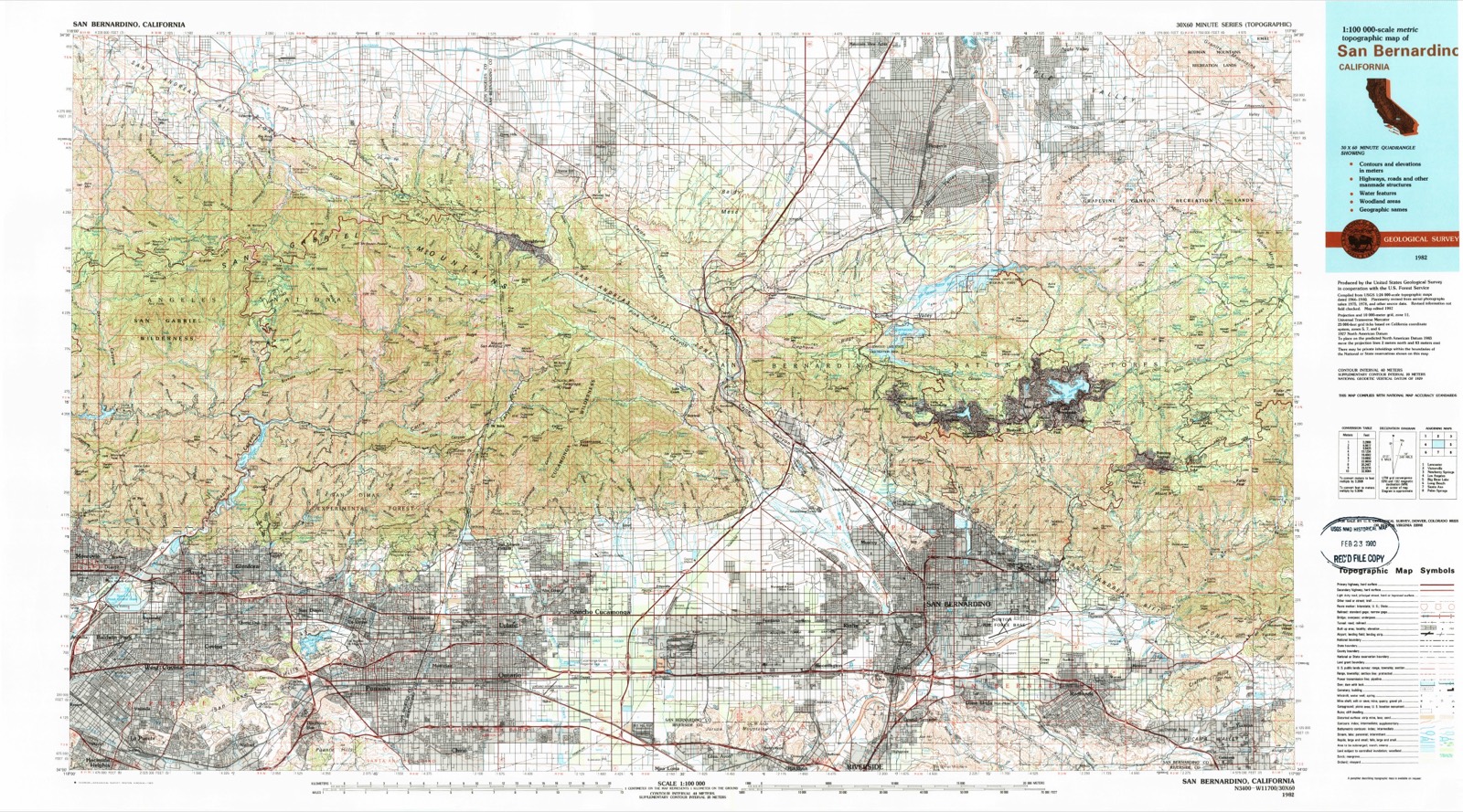
United States Geological Survey topographic sheets whose coverage includes this point. Matched by taking the middle of the area the National Park Service maps for this listing, then testing that coordinate against the published boundary of every sheet.
Other National Register properties close enough to walk or drive between, ordered by distance from this one. Both positions come from the same geocoding pass that matched these properties to their map sheets.
| Photograph | Property | Distance | Listed |
|---|---|---|---|
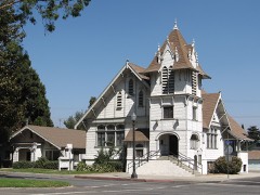 | First Christian Church of Rialto | 1.2 miles | 2003 |
| San Antonio Heights Grove House | 2.3 miles | 2024 | |
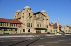 | Atchison, Topeka and Santa Fe Railway Passenger and Freight Depot | 2.3 miles | 2001 |
 | Carnegie Public Library Building | 3.1 miles | 1988 |
| US Post Office-Downtown Station | 3.3 miles | 1985 | |
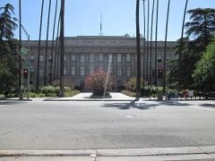 | San Bernardino County Court House | 3.3 miles | 1998 |
| National Archives record | The nomination case file for reference 11000957 in Record Group 79. |
| San Bernardino County | All 98 listed properties in this county. |