Block
BlockFrom the record
One of 90 National Register listings published here for Riverside County · listed in 2013 · category: District.
Sources: the National Register database, National Park Service
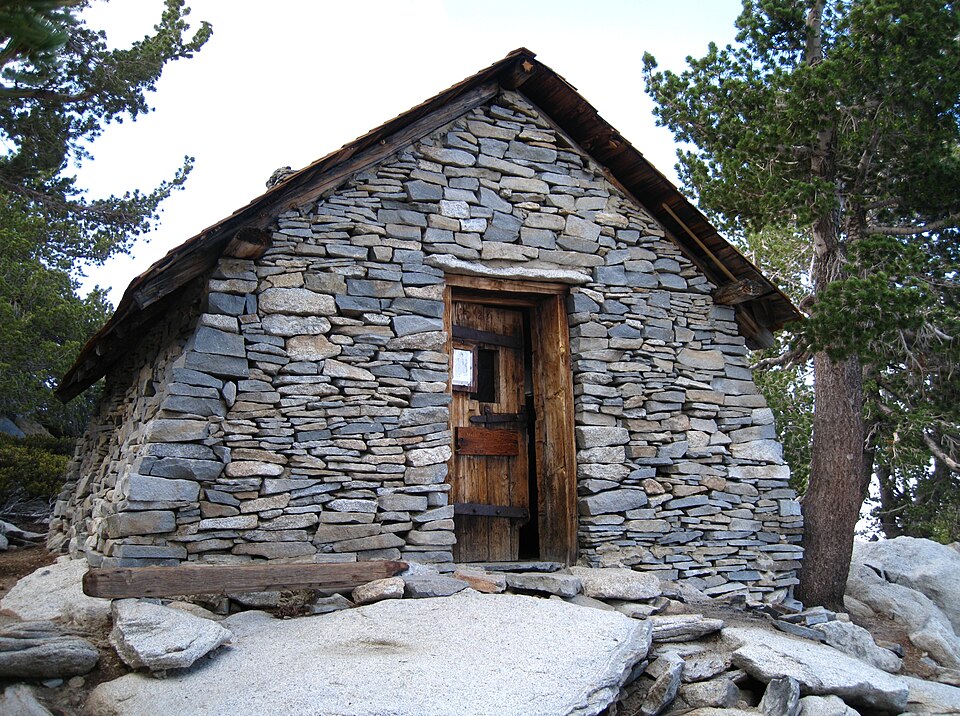
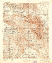
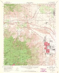
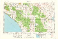
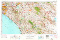
Listed on the National Register of Historic Places in 2013. 16 historic topographic surveys show this location, the earliest from 1901.
One of 90 National Register listings published here for Riverside County · listed in 2013 · category: District.
Sources: the National Register database, National Park Service
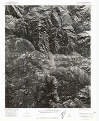
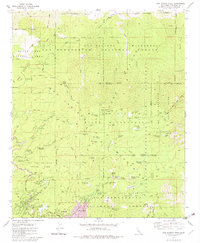
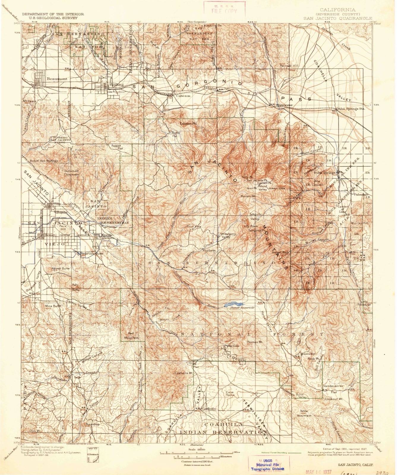
The ground this property stands on, surveyed 95 years apart. Drag the handle to wipe between them. Both sheets are United States Geological Survey originals; neither has been altered.
Regional context, not property-specific evidence. The federal wildfire occurrence database lists 264 fires within 5 miles of Mount San Jacinto State Park Historic District between 1992 and 2020, burning about 7,518 acres in total. 80 started naturally. 7 were recorded as arson. Distance is straight-line from the map coordinates, so a fire counted here may appear on a neighbouring settlement's page as well.
| Reported cause | Fires |
|---|---|
| Natural | 80 |
| Recreation and ceremony | 77 |
| Missing data/not specified/undetermined | 42 |
| Equipment and vehicle use | 20 |
| Debris and open burning | 10 |
| Other causes | 10 |
| Power generation/transmission/distribution | 8 |
| Arson/incendiarism | 7 |
| Misuse of fire by a minor | 5 |
| Smoking | 3 |
| Fireworks | 2 |
The most recent of them, most recent first, with the day each was reported and the service that recorded it.
| Date | Cause | Size | Reported by | Name on the report |
|---|---|---|---|---|
| 9 September 2000 | Natural | under an acre | San Bernardino National Forest | RIDGE |
| 8 September 2005 | Arson/incendiarism | 1.0 acres | Riverside Unit | STATE |
| 8 September 2000 | Natural | under an acre | San Bernardino National Forest | MARRION#2 |
| 7 September 2000 | Natural | under an acre | San Bernardino National Forest | ANTSELL |
| 6 September 2006 | Natural | under an acre | San Bernardino National Forest | FOSTER |
| 6 September 1994 | Natural | under an acre | San Bernardino National Forest | not named |
| 4 September 2020 | Recreation and ceremony | under an acre | San Bernardino National Forest | TOAST |
| 4 September 2019 | Smoking | under an acre | Riverside Unit | RIVERSIDE COUNTY PLAYGROU |
Regional context, not property-specific evidence. The federal mineral resources record lists 3 workings within 5 miles of Mount San Jacinto State Park Historic District: 2 occurrences, 1 prospect. None of them still produces. What was taken out: Feldspar, Silica, Kyanite, Iron. Distance is straight-line from the map coordinates, so a quarry counted here may appear on a neighbouring settlement's page as well.
| Where | Site | Commodity | Status | Recorded |
|---|---|---|---|---|
| Alert Ranch | Feldspar, Silica | Occurrence | ||
| Mineral Canyon Nos. 5-7 | Iron | Prospect | ||
| Unnamed Andalusite Occurrence | Kyanite | Occurrence |
Regional context, not property-specific evidence. The National Weather Service names Idyllwild, the town this property stands in, in 20 storm reports between 1999 and 2022: 10 flash flood, 5 heavy rain, 3 flood, 1 wildfire. The reports record 2 injuries. Each account below is quoted exactly as the forecast office filed it, from the NOAA Storm Events Database, and each date opens the federal record of that event.
| When | Event | Place named | Harm | What the report says |
|---|---|---|---|---|
| August 2008 | Hail | Idyllwild | 2 hurt | A severe thunderstorm developed over the Fern Valley area and significantly interfered with an ongoing search and rescue operation involving two injured climbers at Suicide Rock. Several eyewitness accounts from climbers on Suicide and Tahquitz Rocks, as well as from people involved in the ongoing SAR mission, describe hailstones ranging in size from marbles to walnuts. A rescue helicopter was forced to abort a rescue attempt of the climbers and make an emergency landing after the thunderstorm moved into the area. One of the injured climbers suffered additional contusions from the hail while another person received cuts. Please note that the severe thunderstorm did not move into the area until nearly two hours after the initial (non-weather related) rock climbing accident. |
| January 2005 | Flash Flood | Idyllwild | $150,000 | no account filed |
| January 2005 | Flash Flood | Idyllwild | $15,000 | no account filed |
| August 2008 | Flash Flood | Idyllwild | $10,000 | A severe thunderstorm east of Idyllwild produced flash flooding in a line from Suicide and Tahquitz Rocks to the Fern Valley area. A search and rescue mission involving two injured rock climbers was ongoing prior to the storm. Several people involved in the SAR mission describe significant runoff and flash flooding 3 feet deep carrying rocks and debris down the mountain. Many roads in Fern Valley were littered with large rocks and mud. |
| August 2000 | Flood | Idyllwild | $10,000 | no account filed |
| July 2005 | Flash Flood | Idyllwild | $5,000 | A flash flood in the Fern Valley area left boulders scattered across the road. |
| October 2022 | Flash Flood | Idyllwild | - | Department of Highways reported flooding at SR-74 E and Cranston Ranger Station at mile marker 49. Water covering the road, originating from the Fairview Fire burn scar. Mesonet station CNSC1 Cranston reported 1.03 inch of heavy rain within two hours. |
| August 2022 | Flash Flood | Idyllwild | - | More than 200 people were stranded at the Palm Springs Aerial Tramway as heavy rain in the San Jacinto Mountains and State Park caused impassible mudflows along the exit road from the valley station. Operations of Palm Springs said mud began flowing down east of the station onto the road. The flow appeared to be mostly mud, and not debris. Rainfall of 1.99 inches was measured at the Mt San Jacinto Peak RAWS site. |
| September 2022 | Heavy Rain | Idyllwild | - | Mesonet station VGRC1 Vista Grande reported 0.75 inch of rain in one hour. |
| September 2022 | Flood | Idyllwild | - | Flooding reported along Highway 243 in Pine Cove near Idyllwild, with small gravel and mud flows noted. Small hail (0.25 inch in diameter) was also reported. |
| July 2021 | Heavy Rain | Idyllwild | - | Automated weather station at fire station reports 1.5 inches of rain in 60 minutes. 0.66 inches in 15 minutes. |
| July 2021 | Heavy Rain | Idyllwild | - | San Jacinto raws received 1.44 inches of rain and 0.89 in 1 hour between 5 and 6 am. |
| October 2021 | Heavy Rain | Idyllwild | - | Moderate to heavy rain occurred across the region with parts of the Idyllwild area receiving amounts near 0.90 inches of rain in total. |
| September 2013 | Flash Flood | Idyllwild | - | California Highway Patrol reported a debris flow on Highway 74 at McCall Park Road. The water cleared out soon after and left behind debris on the road...such as rocks and sticks. The nearby Keenwild mesonet recorded 0.47 inches of rain during this time. |
| September 2004 | Flash Flood | Idyllwild | - | A thunderstorm dropped 1.15" of rain in one hour in the Pine Cove area. Some sheet flow and rock slides were observed along Hwy 74 east of Lake Hemet. |
| July 1999 | Flood | Idyllwild | - | Thunderstorms accompanied by heavy downpours caused street flooding in Idyllwild and San Jacinto. Also several motor vehicle accidents on Highway 79, between Beaumont and San Jacinto, were attributed to heavy rain. |
| July 1999 | Flash Flood | Idyllwild | - | Over an inch of rain fell in 45 minutes. Flooding was observed along with wind gusts to 50 mph and pea size hail. |
| August 2004 | Heavy Rain | Idyllwild | - | no account filed |
| August 2003 | Flash Flood | Idyllwild | - | no account filed |
| September 2001 | Wildfire | Idyllwild | - | no account filed |
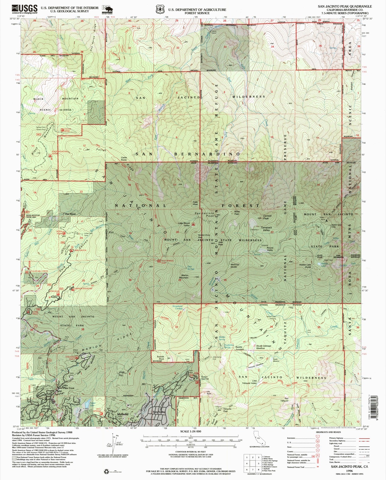
United States Geological Survey topographic sheets whose coverage includes this point. Matched by taking the middle of the area the National Park Service maps for this listing, then testing that coordinate against the published boundary of every sheet.
Other National Register properties close enough to walk or drive between, ordered by distance from this one. Both positions come from the same geocoding pass that matched these properties to their map sheets.
| Photograph | Property | Distance | Listed |
|---|---|---|---|
| Palm Springs Aerial Tramway Mountain Station | 2.2 miles | 2016 | |
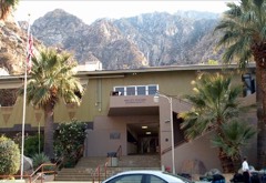 | Palm Springs Tramway Valley Station | 4.4 miles | 2015 |
| Donaldson Futuro | 4.8 miles | 2021 | |
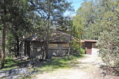 | Pearlman Mountain Cabin | 6.0 miles | 2016 |
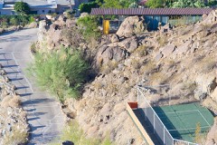 | Frey House II | 6.9 miles | 2015 |
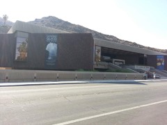 | Palm Springs Desert Museum | 7.1 miles | 2016 |
| National Archives record | The nomination case file for reference 13000416 in Record Group 79. |
| Riverside County | All 90 listed properties in this county. |