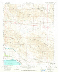
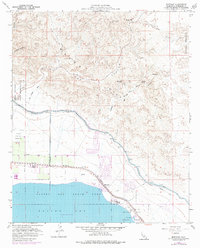
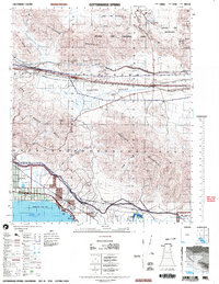
Listed on the National Register of Historic Places in 2015. 11 historic topographic surveys show this location, the earliest from 1940.
From the record
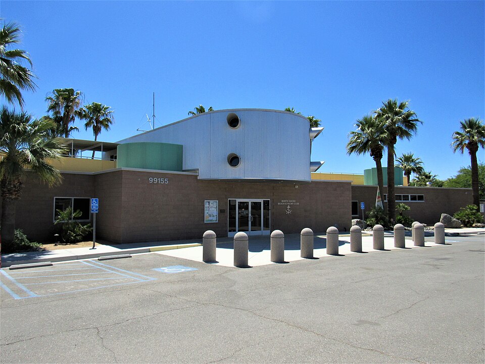
“The North Shore Beach and Yacht Club is an Albert Frey-designed building in North Shore, California. It opened in 1962 as part of a $2 million development along the northeastern shore of the Salton Sea, which would become California's largest marina..”
Wikipedia article North Shore Beach and Yacht Club, CC BY-SA 4.0.
One of 90 National Register listings published here for Riverside County · listed in 2015 · category: Building.
National Register reference number. 15000640 - assigned by the National Park Service when the property was listed.
Then and now
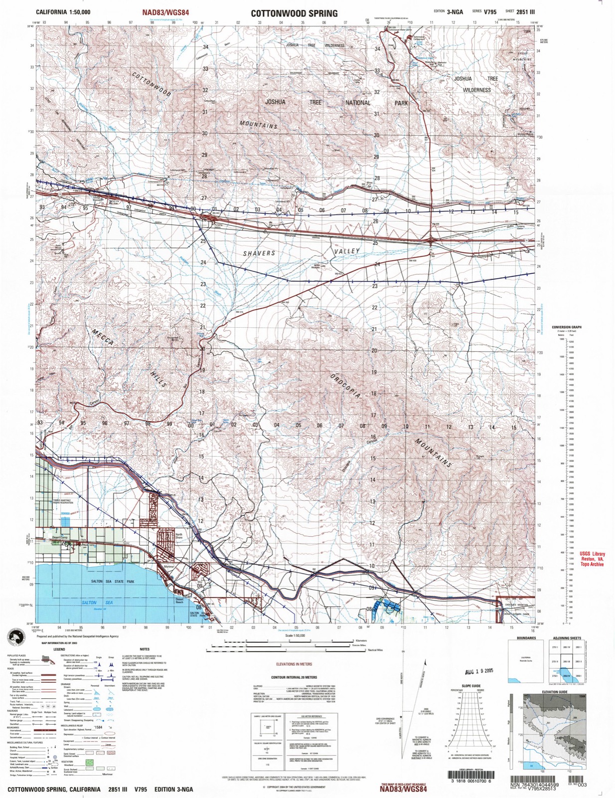
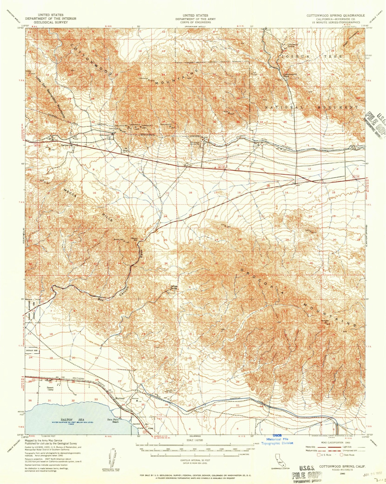
1940 to 2003
The ground this property stands on, surveyed
63 years apart. Drag the handle to wipe between them. Both sheets are
United States Geological Survey originals; neither has been altered.
19402003
Fires near this property
207 since 1992
Regional context, not property-specific
evidence. The
federal wildfire occurrence database
lists 207 fires within 5 miles of North Shore Yacht Club
between 1992 and 2020, burning about 312 acres in total. 1 started naturally. 28 were recorded as arson.
Distance is straight-line from the map coordinates, so a fire counted
here may appear on a neighbouring settlement's page as well.
Reported cause
Fires
Missing data/not specified/undetermined
121
Arson/incendiarism
28
Equipment and vehicle use
27
Debris and open burning
13
Misuse of fire by a minor
8
Smoking
5
Railroad operations and maintenance
2
Recreation and ceremony
2
Natural
1
The most recent of
them, most recent first, with the day each was reported and the service
that recorded it.
Date
Cause
Size
Reported by
Name on the report
9 September 1992
Equipment and vehicle use
3.0 acres
Riverside Unit
LOCAL
6 September 2007
Missing data/not specified/undetermined
under an acre
California Desert District
UNNAMED FIRE 2717
5 September 2018
Missing data/not specified/undetermined
under an acre
California Department of Forestry & Fire Protection
Regional context, not property-specific
evidence. The federal mineral resources record lists
2 workings within 5 miles of North Shore Yacht Club: 2 past producers.
None of them still produces. What was taken out: Sand and Gravel, Construction. Distance is straight-line from the
map coordinates, so a quarry counted here may appear on a neighbouring
settlement's page as well.
Regional context, not property-specific
evidence. The National Weather Service names
Mecca, the town this property stands in, in 23 storm reports between 1999 and 2025: 13 flash flood, 3 thunderstorm wind, 2 wildfire, 2 heavy rain.
The reports record 5 injuries. Each account below is quoted exactly as the forecast office
filed it, from the NOAA Storm Events Database, and each date
opens the federal record of that event.
The damage was west of Highway 111 between 64th and 66th Avenues, paralleling Highway 86 towards the mountains, or approximately 3 1/2 miles. An emergency manager for the Imperial irrigation water district (IID) reported a total of 140 poles damaged, 30 of which were steel.
A thunderstorms produced radar estimated 2 to 4 inches of rain in Box Canyon near I-10 within Box Canyon. The runoff destroyed a dike operated by Coachella Valley Water District. The moisture was associated with pre Tropical Cyclone Rosa. The thunderstorm produced prolific lightning in the area. Box Canyon had a flash flood which drains from the little San Bernardino mountains. The water eventually drains into the Salton Sea. A vehicle travelling on Box Canyon road was swept away in the flash flood and the driver drowned (within PHX area of responsibility).
A stationary thunderstorm brought persistent heavy rain in Mecca between 0200 and 0800 PST, resulting in flash flooding of two mobile home parks. Approximately 15 to 20 mobile homes in the Duroville and Saint Anthony's mobile home parks were damaged. The American Red Cross set up an evacuation center at the Mecca Family and Farm Workers Services Facility for the approximately 1500 residents affected. A boil water message was issued for these locations as well. Saul Martinez Elementary School also reported water damage to 15 classrooms, the teachers' lounge and the administration building with 2 to 3 inches of water.
Strong gusty winds caused palm fronds to brush against electrical power lines and ignite near the intersection of Palm Island Drive and Highway 111. Wind gusts to 80 mph then fanned the flames into a 30 acre wild fire that affected the community of North Shore. One house, a garage, a small office building, a storage shed, two travel trailers, and eight vehicles were destroyed. Several residents were evacuated and one family was left homeless.
Fire department and rescue officials in Riverside County reported residential flooding of approximately 4 homes on the 91000 block of 5th Street in Mecca due to heavy downpours. No injuries reported and depth of flood waters was unknown.
Heavy rain from Tropical Storm Sergio resulted in flash flooding in the Coachella Valley. The runoff destroyed a dike operated by the Coachella Valley Water District for a second time.
Law enforcement reported two large palm trees fell onto the road at 77th and Harrison, as well as a power pole that fell onto a vehicle near 70th and Pierce Streets.
Radar estimated 2 to 2.5 inches of rainfall at the mouth of Box Canyon which caused flash flooding at the entrance of Box Canyon Road and along Painted Canyon Road. There were a couple vehicles involved with the flooding which caused a road closure. Located south of I-10 and north of Highway 111.
Strong thunderstorm winds resulted in roof damage at the Galilee Center, used as a shelter for people who had lost power the day before. The leaking roof prompted evacuation of the building.
Flooding occurred at 67959 Lincoln Avenue after about 1.80 inches of rain fell nearby. Flooding continued through at least 10:30 AM on September 2nd, per CalTrans.
Three to four feet of water accumulated on Box Canyon Road at Coachella Canal Road. Boulders were also in the road, causing Box Canyon Road to close at 4:45 PM local time.
Law enforcement reports a hard closure of the intersection of Tyler Street and 64th Street in Mecca, due to roadway flooding. Intersection closed due to roads being impassable.
The ALERT rain gauge at Kent Sea Farms recorded 5.51 inches of rain in 24 hours, 4.18 inches of which was in the past 12 hours. The vast majority of the rain fell between 0000 and 0700 PST.
Heavy rain resulted in flooding along 66th Avenue east of Johnson Avenue. County Road Department was dispatched to barricade the roads. |A short distance upstream, the Thermal airport measured 1.42 inches of rain between 0019 and 0316 PST, over an inch of which fell between 0019 and 0236 PST.
Heavy rain resulted in flooding along State Highway 111, just east of the intersection with Colfax Street. The roadway there was covered with 3 feet of water. |A mesonet station, at Kent Sea Farms, just west of this location recorded 3.38 inches of rain between 0050 and 0419 PST.
United States Geological Survey topographic
sheets whose coverage includes this point. Matched by taking the middle of the area the National Park Service maps for this listing, then
testing that coordinate against the published boundary of every sheet.
Listing record. National Park Service National Register of Historic Places, listed-properties dataset, current to 2026-05-22.
Map join. Address geocoded through the United States Census geocoder, then tested against the published boundary of every sheet in the USGS Historical Topographic Map Collection.
How this page is made. Listing fields come from federal records; map-sheet coverage is a labelled coordinate-to-boundary calculation, not a source-field claim.
Wildfire. Short, Karen C. 2022. Spatial wildfire occurrence data for the United States, 1992-2020 [FPA_FOD_20221014]. 6th Edition. Fort Collins, CO: Forest Service Research Data Archive. https://doi.org/10.2737/RDS-2013-0009.6 Collected with United States Government funding and usable without additional permissions or fees.
Mines and quarries. USGS Mineral Resources Data System (MRDS) https://mrdata.usgs.gov/mrds/ A work of the United States government, no copyright under 17 U.S.C. 105.
Storms. NOAA National Centers for Environmental Information, Storm Events Database https://www.ncei.noaa.gov/stormevents/ A work of the United States government, no copyright under 17 U.S.C. 105. Narratives are quoted verbatim from the National Weather Service report and are not edited or summarised.
 Block
Block