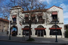
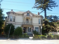
Photograph by Unknown author Unknown author, Public domain. Via
Wikimedia Commons.
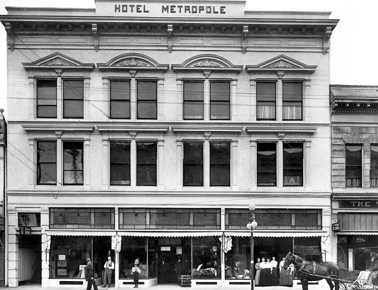
Hotel Metropole
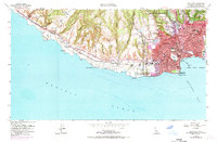
Built in 1908 (Italianate architecture). Listed on the National Register of Historic Places in 1979. 7 historic topographic surveys show this location, the earliest from 1948.
From the record
“The Hotel Metropole, built in 1908, was added to the National Register of Historical Places in 1979. It was demolished after being severely damaged in the 1989 Loma Prieta earthquake.”
Wikipedia article Hotel Metropole (Santa Cruz, California), CC BY-SA 4.0.
One of 42 National Register listings published here for Santa Cruz County · listed in 1979 · category: Building · built in 1908, Italianate architecture.
National Register reference number.79000553- the number the National Park Service assigned this property when it was listed, and the key its nomination file is catalogued under at the National Archives.
Then and now
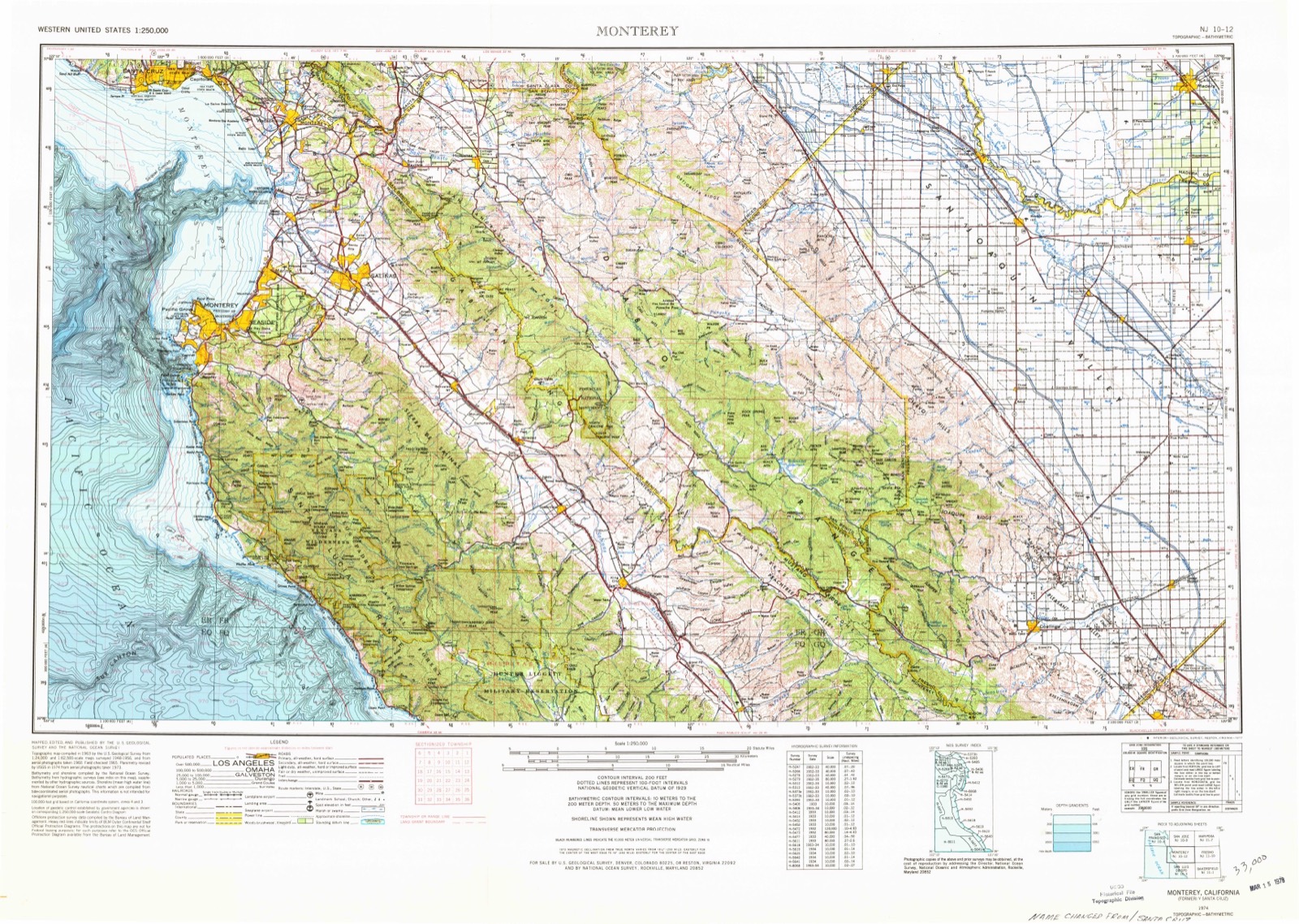
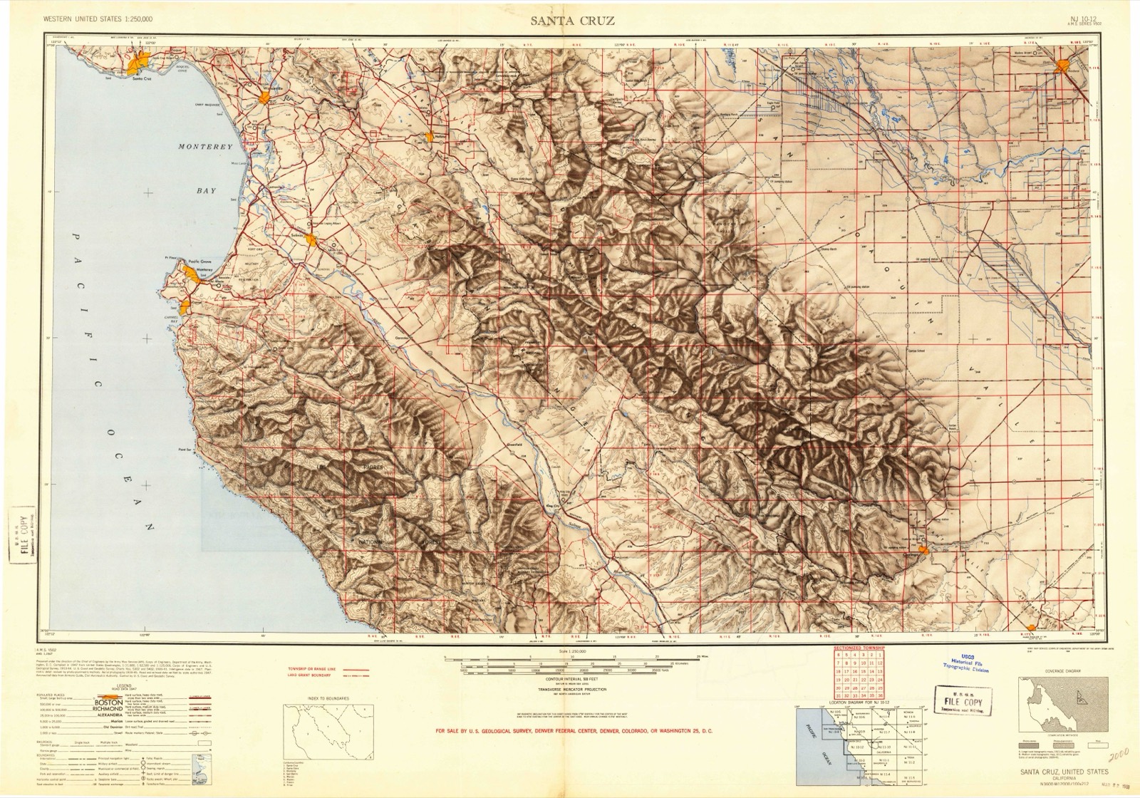
1948 to 1974
The ground this property stands on, surveyed
26 years apart. Drag the handle to wipe between them. Both sheets are
United States Geological Survey originals; neither has been altered.
19481974
Fires near this property
418 since 1992
Regional context, not property-specific
evidence. The
federal wildfire occurrence database
lists 418 fires within 5 miles of Hotel Metropole
between 1992 and 2020, burning about 162 acres in total. 1 started naturally. 55 were recorded as arson.
Distance is straight-line from the map coordinates, so a fire counted
here may appear on a neighbouring settlement's page as well.
Reported cause
Fires
Missing data/not specified/undetermined
212
Arson/incendiarism
55
Equipment and vehicle use
53
Smoking
31
Recreation and ceremony
30
Misuse of fire by a minor
18
Debris and open burning
12
Railroad operations and maintenance
3
Other causes
2
Power generation/transmission/distribution
1
Natural
1
The most recent of
them, most recent first, with the day each was reported and the service
that recorded it.
Date
Cause
Size
Reported by
Name on the report
9 September 2008
Missing data/not specified/undetermined
under an acre
California Department of Forestry & Fire Protection
not named
9 September 1994
Equipment and vehicle use
1.0 acres
San Mateo-Santa Cruz Unit
P.G.&E.#14
8 September 2006
Missing data/not specified/undetermined
under an acre
California Department of Forestry & Fire Protection
not named
6 September 2015
Missing data/not specified/undetermined
under an acre
San Mateo-Santa Cruz Unit
OAK
6 September 2010
Missing data/not specified/undetermined
under an acre
California Department of Forestry & Fire Protection
Regional context, not property-specific
evidence. The federal mineral resources record lists
21 workings within 5 miles of Hotel Metropole: 12 past producers, 5 occurrences, 3 producers, 1 unknown.
3 still produce. What was taken out: Sand and Gravel, Construction, Limestone, General, Clay, Gold. Distance is straight-line from the
map coordinates, so a quarry counted here may appear on a neighbouring
settlement's page as well.
Regional context, not property-specific
evidence. The National Weather Service names
Santa Cruz, the town this property stands in, in 17 storm reports between 1998 and 2025: 5 flood, 3 tornado, 3 hail, 2 heavy rain.
The reports record 1 death. Each account below is quoted exactly as the forecast office
filed it, from the NOAA Storm Events Database, and each date
opens the federal record of that event.
Heavy rain brought the San Lorenzo River close to the Santa Cruz Beach Boardwalk. Rushing water ripped apart a wooden staircase that goes down to the beach.
The Cypress Point Apartments at Felix Street in Santa Cruz flooded as a result of Neary Lagoon overflowing. Eight units were reported flooded, with five of those being occupied at the time. Report courtesy KION-TV Monterey-Salinas and KPIX-TV San Francisco.
Waterspout moved onshore along West Cliff Drive, just west of Woodrow Ave. As it moved onshore, it picked up a construction sign, and tossed it into the mailbox across the street. It also topped two agave cacti in the driveway, before hitting two trees, stripping several small and large limbs off of these trees before dissipating.
Waterspout crossed the Santa Cruz Wharf, striking the Dolphin Restaurant and removing approximately 35 percent of its roof. The tornado also moved several picnic tables a few feet from their original position. The Dolphin general manager said that it felt like an earthquake struck the building at the peak of the lunch hour, but that the tornado dissipated shortly after striking the wharf.
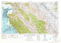
United States Geological Survey topographic
sheets whose coverage includes this point. Matched by taking the coordinate the National Park Service records for this property, then
testing that coordinate against the published boundary of every sheet.
Other National Register properties close
enough to walk or drive between, ordered by distance from this one. Both
positions come from the same geocoding pass that matched these properties
to their map sheets.
Listing record. National Park Service National Register of Historic Places, listed-properties dataset, current to 2026-05-22.
Map join. Address geocoded through the United States Census geocoder, then tested against the published boundary of every sheet in the USGS Historical Topographic Map Collection.
How this page is made. Listing fields come from federal records; map-sheet coverage is a labelled coordinate-to-boundary calculation, not a source-field claim.
Wildfire. Short, Karen C. 2022. Spatial wildfire occurrence data for the United States, 1992-2020 [FPA_FOD_20221014]. 6th Edition. Fort Collins, CO: Forest Service Research Data Archive. https://doi.org/10.2737/RDS-2013-0009.6 Collected with United States Government funding and usable without additional permissions or fees.
Mines and quarries. USGS Mineral Resources Data System (MRDS) https://mrdata.usgs.gov/mrds/ A work of the United States government, no copyright under 17 U.S.C. 105.
Storms. NOAA National Centers for Environmental Information, Storm Events Database https://www.ncei.noaa.gov/stormevents/ A work of the United States government, no copyright under 17 U.S.C. 105. Narratives are quoted verbatim from the National Weather Service report and are not edited or summarised.
 Block
Block