Block
BlockFrom the record
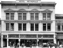
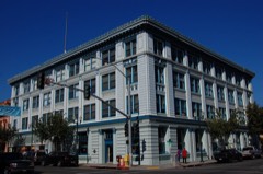
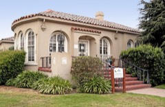
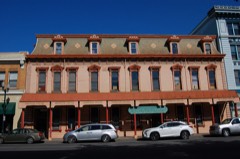
42 National Register listings published here, 1 of them a National Historic Landmark.
Sources: the National Register database, National Park Service
172 topographic sheets cover 78 settlements here, and 42 properties are on the National Register of Historic Places.
42 National Register listings published here, 1 of them a National Historic Landmark.
Sources: the National Register database, National Park Service
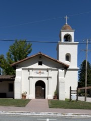
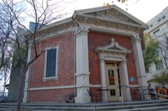
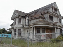
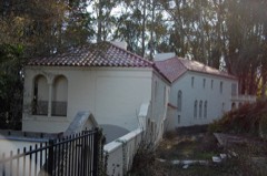
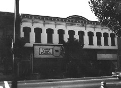
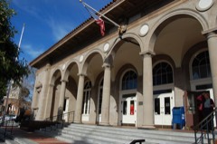
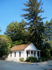
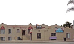
Every property in this county listed on the National Register of Historic Places, with the year it was listed and the federal nomination document.
Santa Cruz County has 2 covered bridges on the National Register. Each is a listed structure with a federal nomination on file.
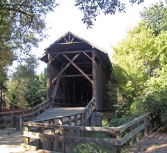 | Felton Covered Bridge | Listed 1973, 32 map sheets show this crossing |
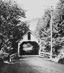 | Glen Canyon Covered Bridge | Listed 1984, 32 map sheets show this crossing |
Drawn when these were printed as single large sheets: the town seen from the air, and the county divided into its farms with every owner named. Each opens the original at the Library of Congress.
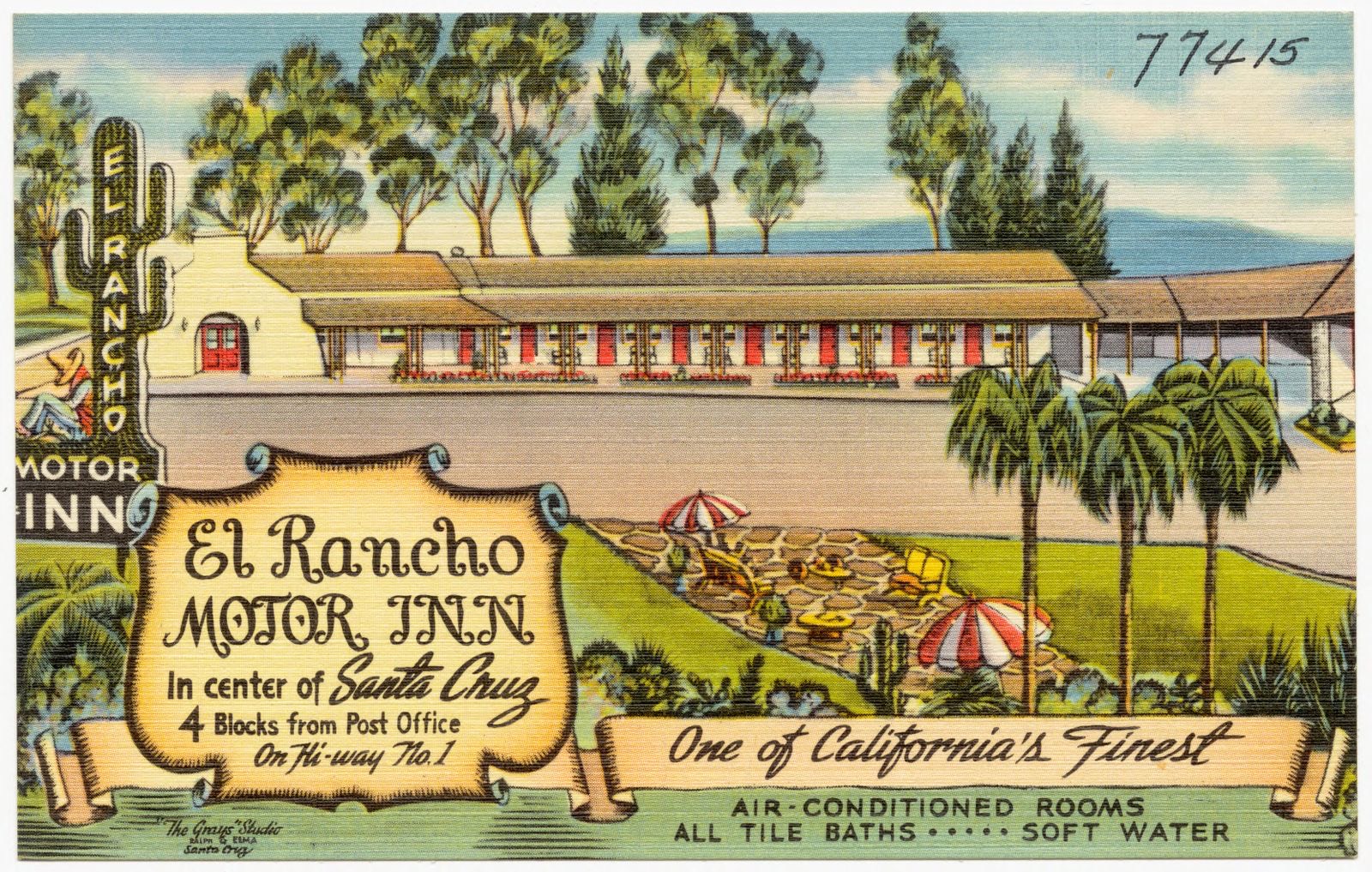
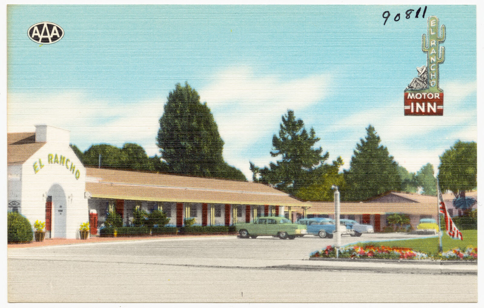
Selected from the Digital Public Library of America's 25 image records catalogued for this county. Every one shown here carries a public-domain status or a licence that permits reuse on a site that carries advertising; non-commercial, share-alike and restricted images are excluded. The selection is spread across the county's towns (at most eight per town), so no single institution's bulk upload crowds out the rest. Each opens the holding library's record, and the complete set at the Digital Public Library of America is one click away.
![Affectionate labor of fair hands to honor President McKinley -- presidential engine de[cor]ated by ladies of Santa Cruz, Cal., Boston Public Library - undated](assets/dpla_02eac721ae029819.jpg)

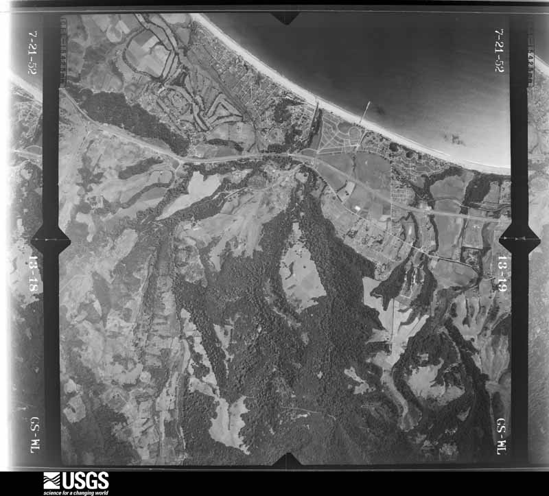
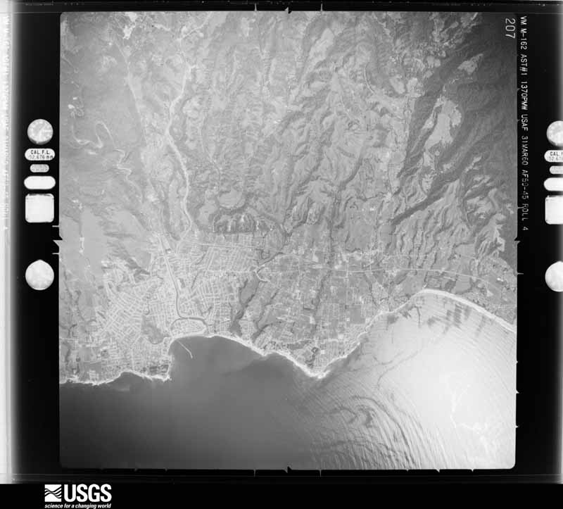
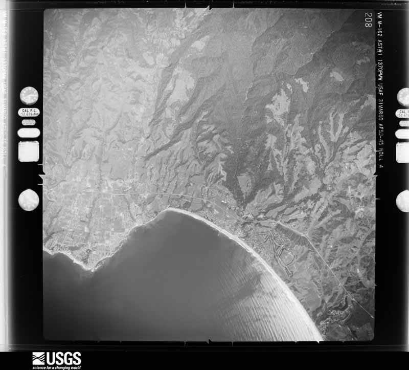
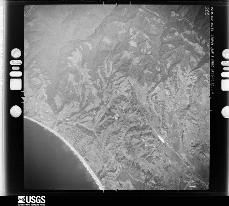
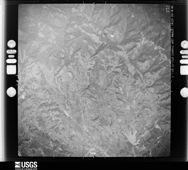
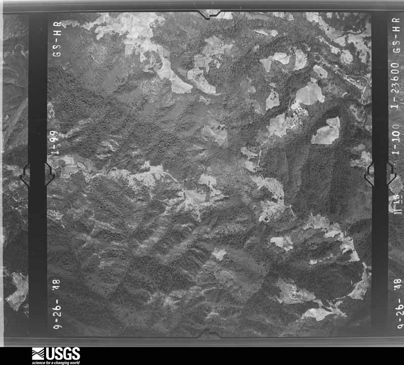
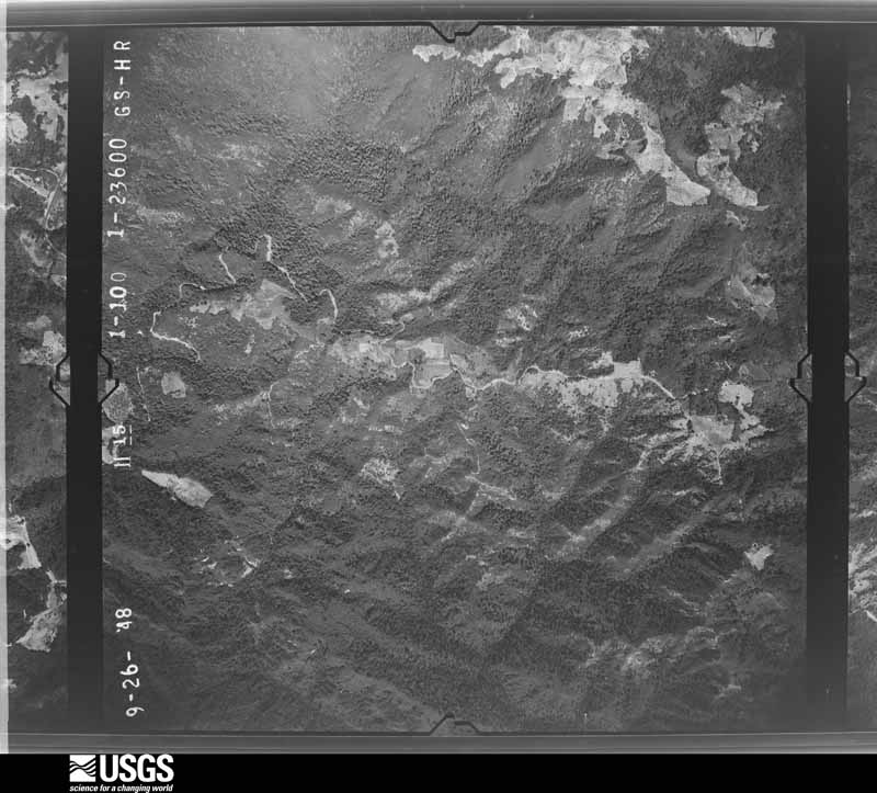
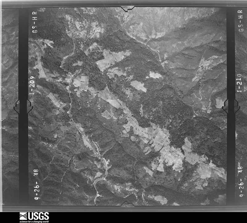
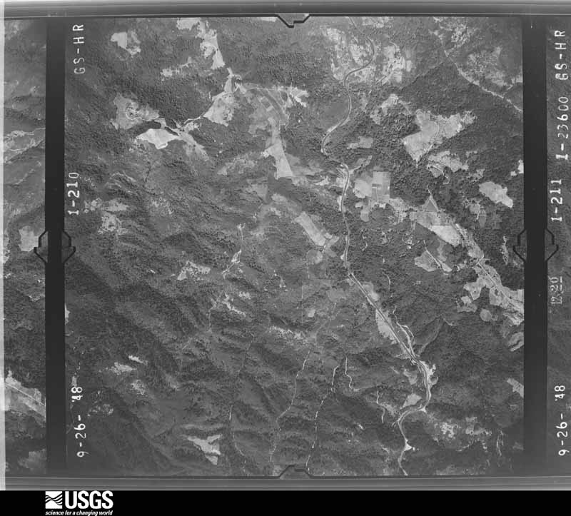
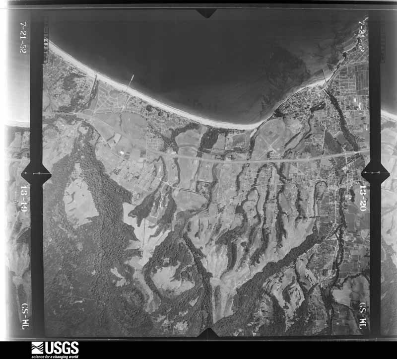
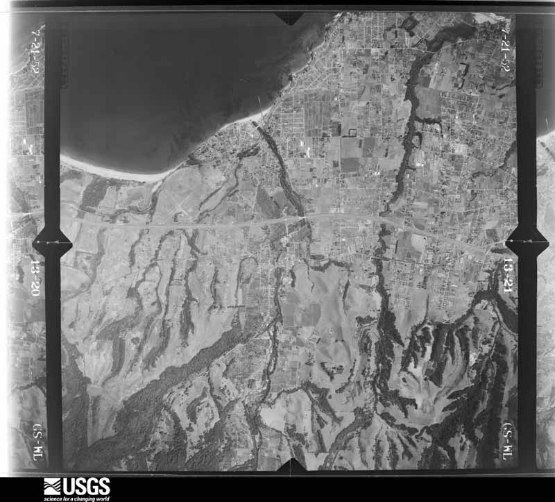
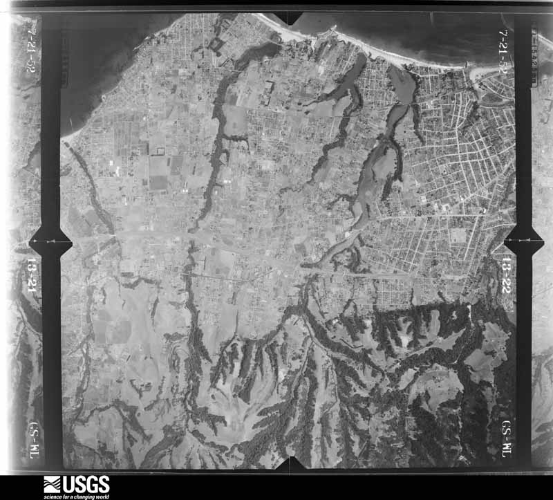
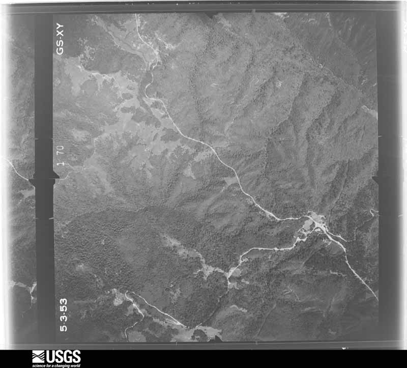
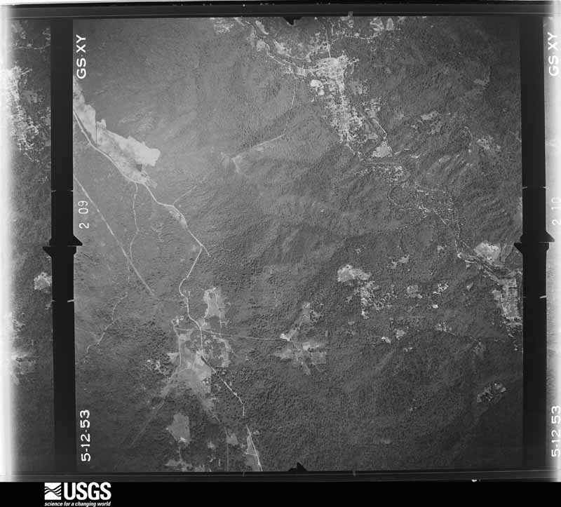
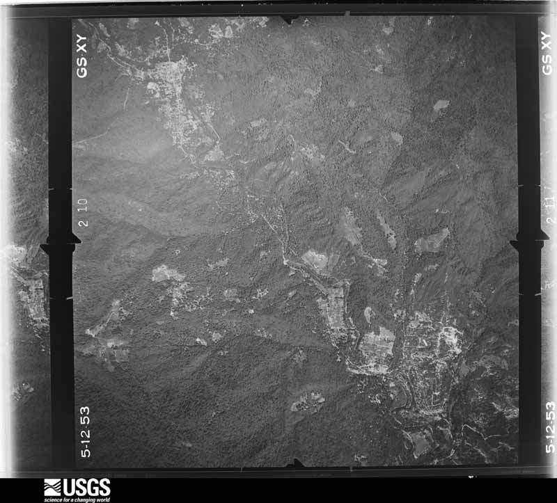
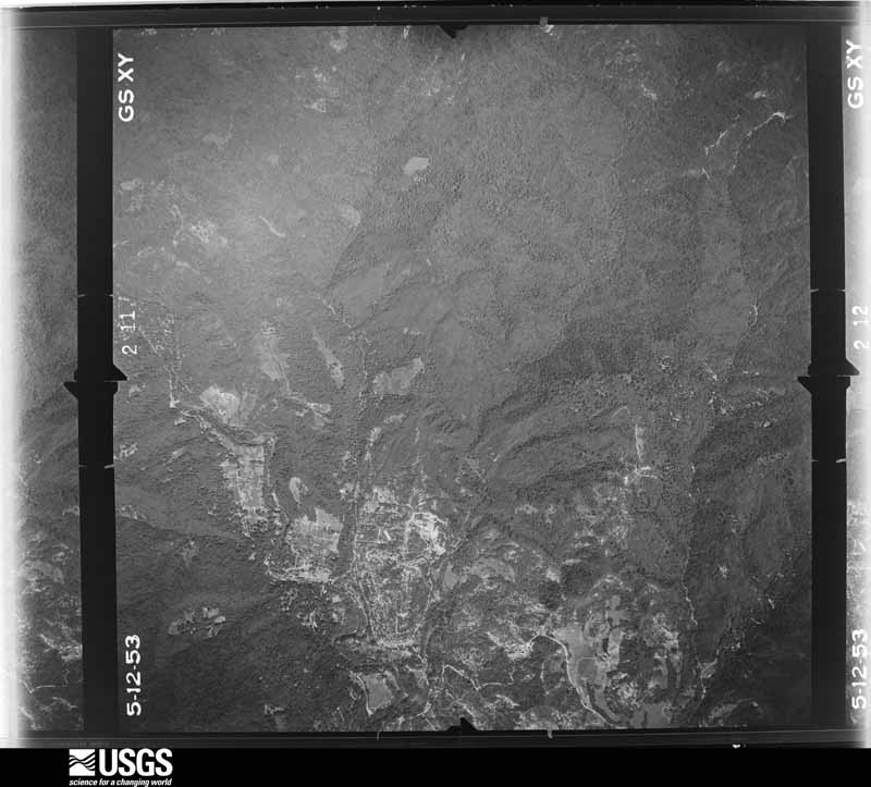
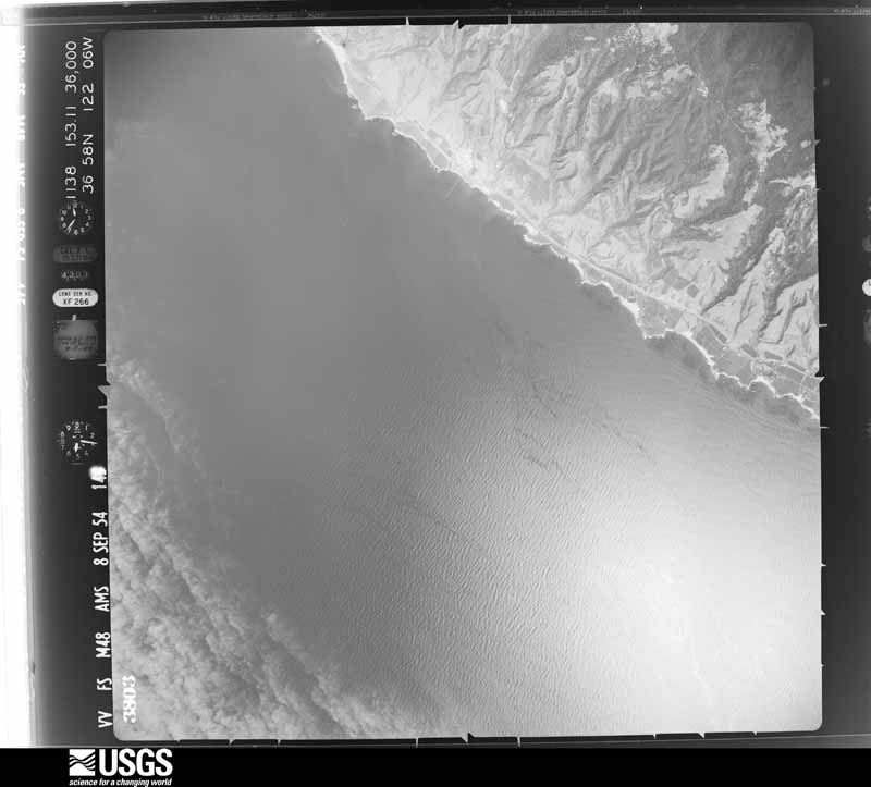
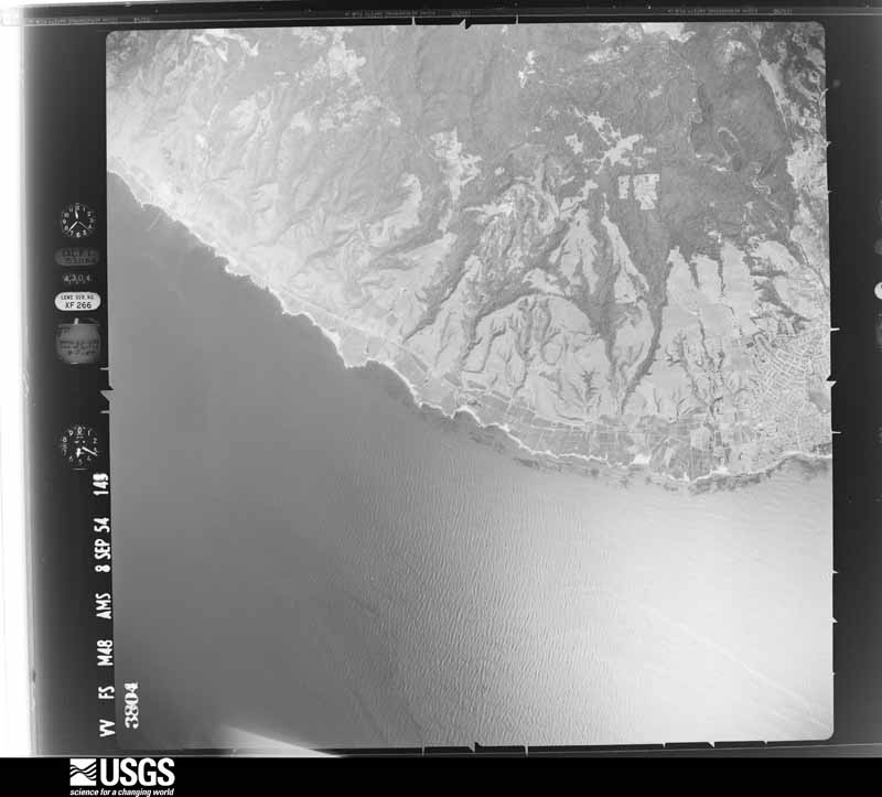
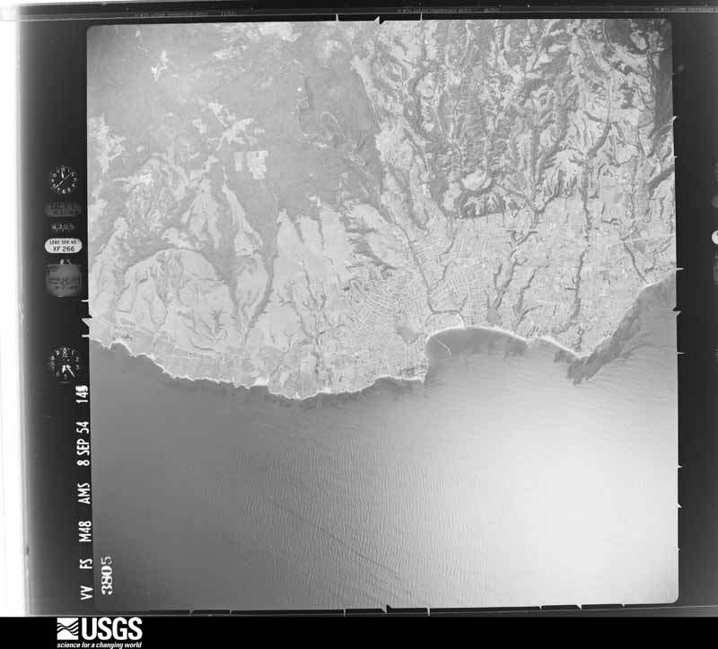
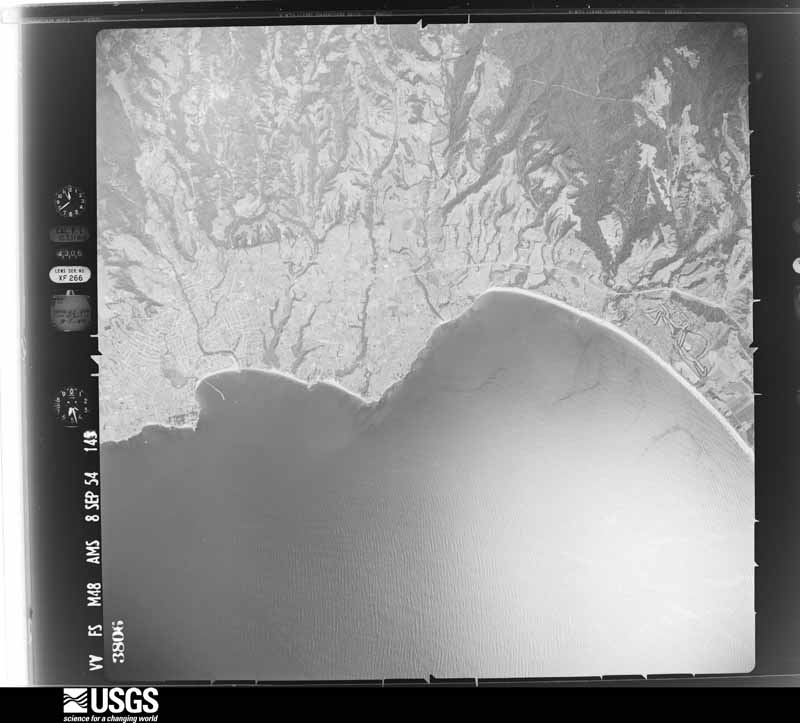
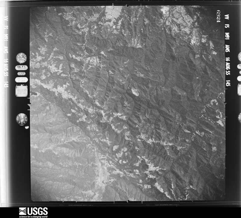
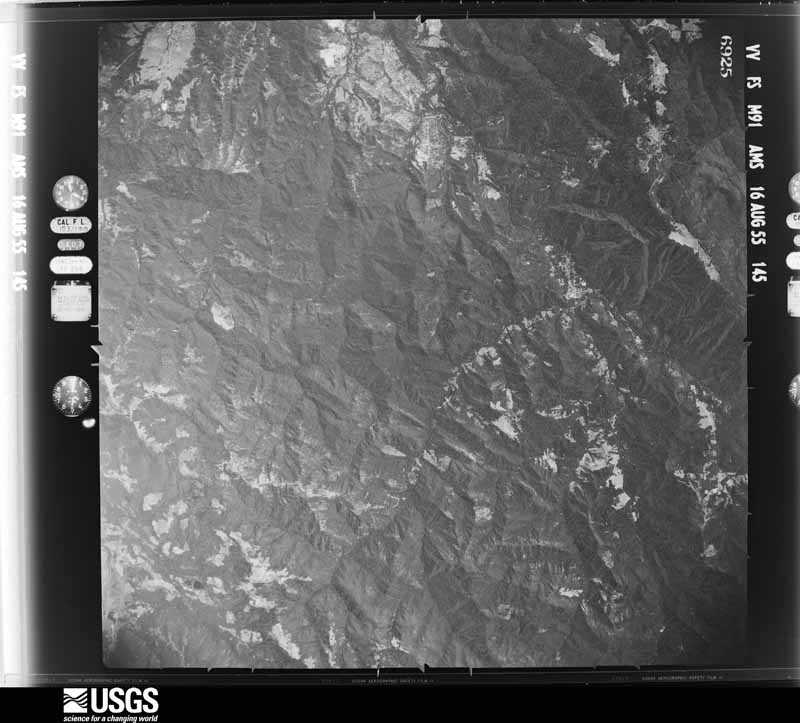
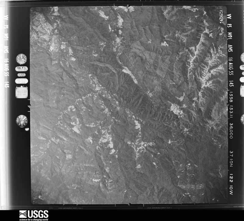
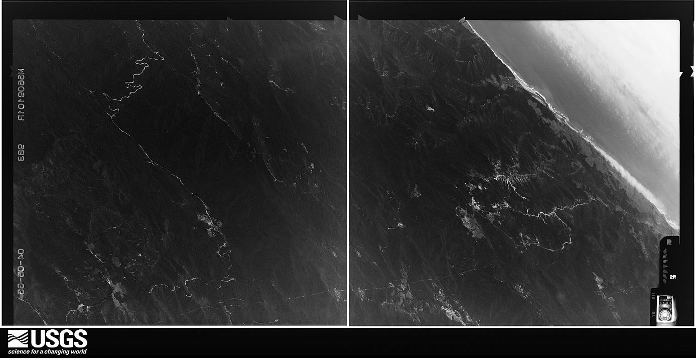
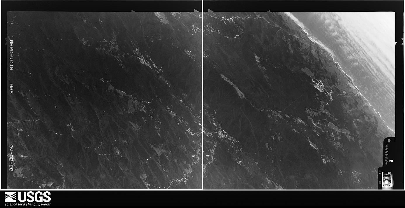
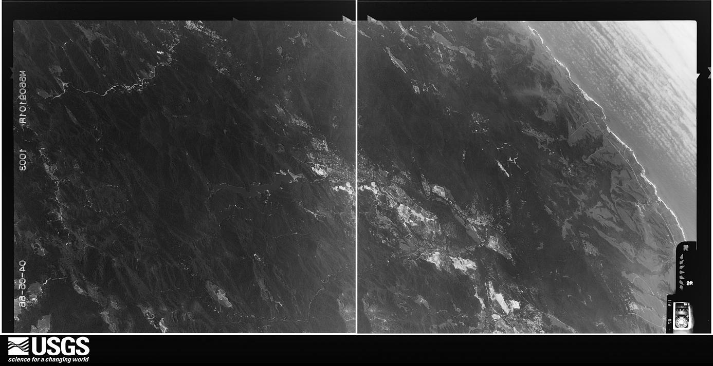
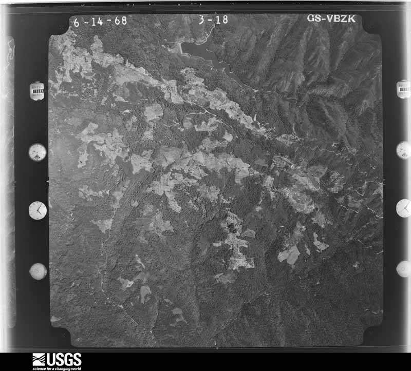
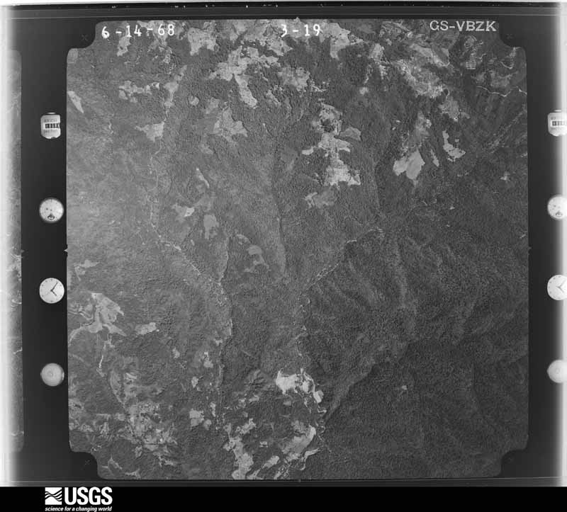
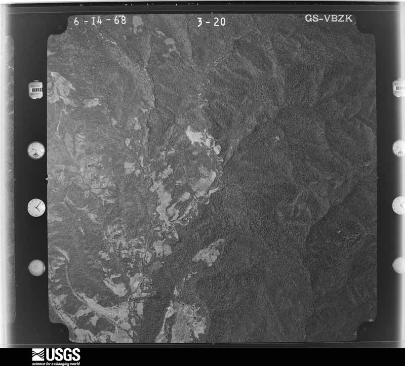
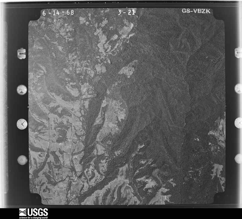
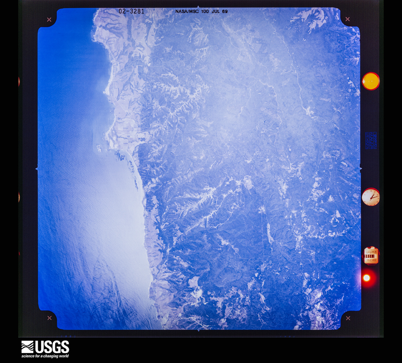
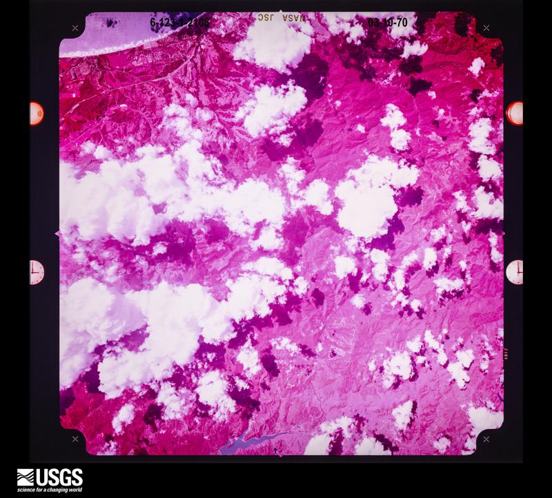
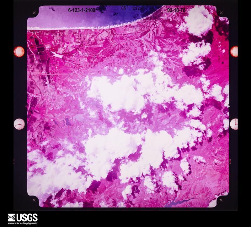
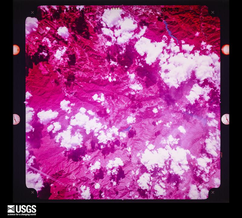
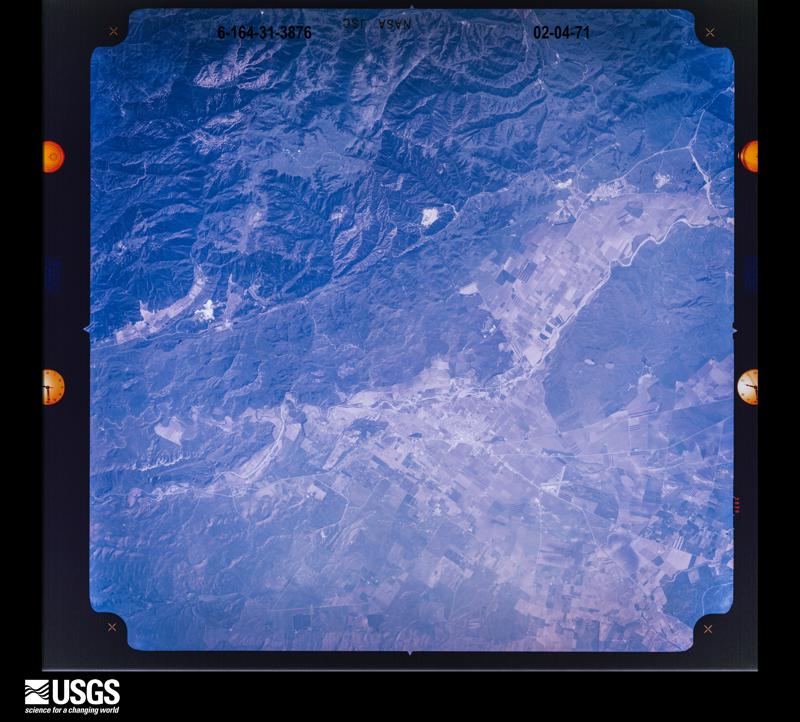
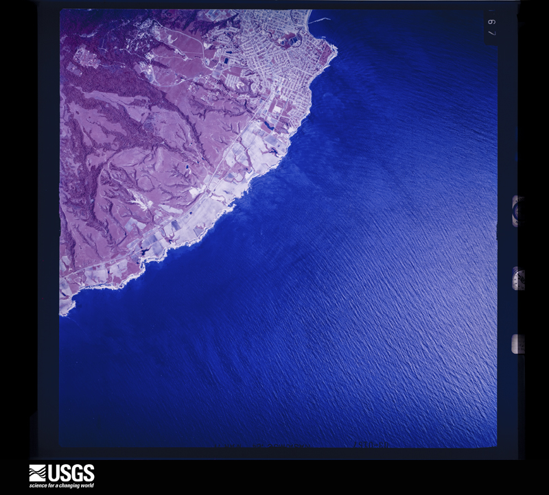
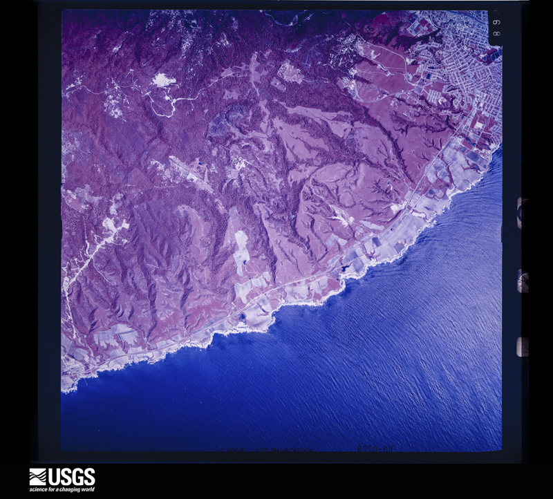
Flown by the U.S. Geological Survey between 1937 and 1989, the Aerial Photo Single Frames collection is the definitive mid-century view of the land: fields, roads and rivers as the camera saw them. The Survey holds 5,922 frames inside the rectangle that bounds this county; the 48 frames below were taken over the county itself, chosen across the decades of flights (at most four a year from that rectangle), so one flight cannot crowd out the rest. The full set is free to browse and download at EarthExplorer under the dataset Aerial Photo Single Frames.
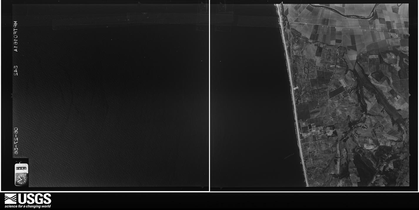
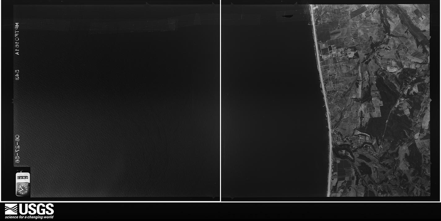

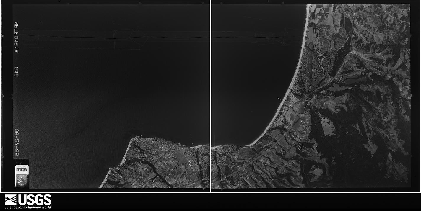
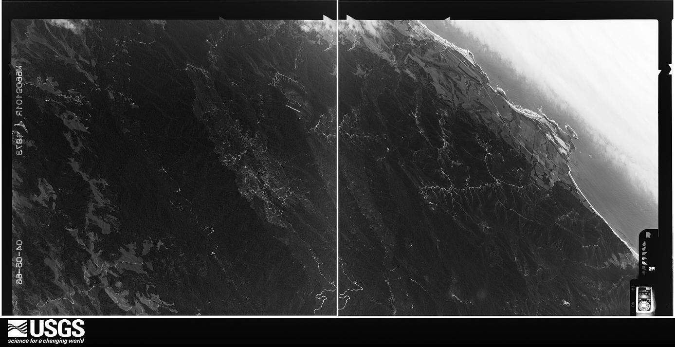






The thermometers that kept this county's weather, and the gages that measured the flow of its streams, as the federal records hold them. The extremes below are measured values from those records, not estimates.
Who lived here in 1950, one enumeration district at a time, as the Census Bureau described each district. Each row opens its official National Archives result, with Population Schedules and ED Maps available there.
Every wildfire the federal occurrence database records inside this county: 2,228 of them, burning about 11,900 acres. 16 started naturally and 176 were recorded as arson. Each settlement page carries the fires within five miles of it.
| Reported cause | Fires |
|---|---|
| Missing data/not specified/undetermined | 997 |
| Equipment and vehicle use | 493 |
| Debris and open burning | 198 |
| Arson/incendiarism | 176 |
| Misuse of fire by a minor | 108 |
| Recreation and ceremony | 105 |
| Smoking | 76 |
| Power generation/transmission/distribution | 49 |
| Natural | 16 |
| Other causes | 5 |
| Railroad operations and maintenance | 4 |
| Firearms and explosives use | 1 |
The five largest, by the area the report gives. One of them was set deliberately.
| Date | Cause | Size | Reported by | Name on the report |
|---|---|---|---|---|
| 12 August 2009 | Missing data/not specified/undetermined | 7,817 acres | San Mateo-Santa Cruz Unit | LOCKHEED |
| 20 June 2008 | Equipment and vehicle use | 630 acres | San Mateo-Santa Cruz Unit | TRABING |
| 11 June 2008 | Recreation and ceremony | 520 acres | San Mateo-Santa Cruz Unit | MARTIN FIRE |
| 16 August 2020 | Missing data/not specified/undetermined | 500 acres | San Mateo-Santa Cruz Unit | 3-13 WADDELL |
| 25 October 2009 | Missing data/not specified/undetermined | 490 acres | San Mateo-Santa Cruz Unit | LOMA IC |
| 16 October 2017 | Arson/incendiarism | 391 acres | California Department of Forestry & Fire Protection | BEAR |
| 16 August 2020 | Natural | 130 acres | San Mateo-Santa Cruz Unit | GREEN VALLEY RD PAJARO_V |
| 31 July 2008 | Missing data/not specified/undetermined | 100 acres | San Mateo-Santa Cruz Unit | MURPHY |
Every settlement page carries the fires within five miles of it - see the settlement index below.
The NOAA Storm Events Database holds 205 reports for this county, causing 7 deaths, 12 injuries and about $43,588,630 in recorded property damage. Each settlement page carries the reports that name it.
| Kind of event | Reports |
|---|---|
| Flood | 60 |
| Debris Flow | 51 |
| Flash Flood | 36 |
| Hail | 21 |
| Heavy Rain | 21 |
| Tornado | 8 |
| Thunderstorm Wind | 7 |
| Storm Surge/Tide | 1 |
The most serious of them, by death, then injury, then recorded damage. The accounts are quoted exactly as the forecast office filed them.
| When | Event | Place named | Harm | What the report says |
|---|---|---|---|---|
| October 1999 | Storm Surge/Tide | Capitola | 2 killed, 2 hurt, $1,000,000 | no account filed |
| March 2012 | Heavy Rain | Mission Spgs | 1 killed, 3 hurt, $15,000 | A fatal accident on the southbound lanes on SR 17 at Laurel Curve due to heavy rain. A 57 year old man lost control of his Nissan Sentra which slid from the southbound lanes into northbound traffic at 10:45 am. The Nissan struck a Chevy Suburban, spun around backward and bashed into a Toyota 4Runner which then collided with an Acura. |
| February 1998 | Flash Flood | Felton | 1 killed, $500,000 | Flash flood po San Lorenzo River from Felton to Santa Cruz. |
| March 2012 | Heavy Rain | Santa Cruz | 1 killed, $5,000 | A 35 year old man crashed his Volkswagon Touareg on the onramp to southbound Highway 1 at State Park Drive about 12:45 am. |
| March 2012 | Heavy Rain | Beulah Park | 1 killed, $5,000 | A fatal traffic accident as a 21 year old male died in a solo crash into a tree on Graham Hill Road early in the morning. |
| November 2012 | Flood | Soquel | 1 killed | A man drowned in the waters of Soquel Creek in Capitola during a heavy rainstorm that produced minor flooding of the creek. He drowned in a section of the creek in Perry Park at the rear of a grocery store on 809 Bay Avenue in Capitola. |
| December 2024 | Tornado (EF1) | Scotts Vly | 5 hurt, $10 | A Special Weather Statement was issued at 1:07 PM, followed by a Severe Thunderstorm Warning at 1:25 PM, for a strong thunderstorm that impacted western Santa Cruz County. Following the impact, social media videos and reports indicated that a tornado briefly touched down in the Scotts Valley region. A team from the National Weather Service San Francisco Bay Area conducted a storm survey in Scotts Valley. The team identified a swath of tornadic damage that began near the intersection of Mount Hermon Rd and Lockewood Ln and continued southeast along Mount Hermon Rd until just short of Kings Village Rd. A wide range of damage was observed including: downed trees, downed power poles, trees stripped of branches, numerous overturned vehicles, and damaged street signs. Based on these damage indicators the survey team assessed a maximum wind speed of 90 mph, which is a weak EF1 tornado. Five people, including a firefighter, were injured by the tornado, and six cars were turned over including a pickup truck from Cal Fire. |
| January 2016 | Debris Flow | Mt Hermon | 2 hurt, $5,000 | Rocks and mud flowed onto Highway 9 in Felton (near Felton Empire Road) early in the afternoon of January 22, 2016. The slide blocked the southbound lane of highway 9 and caused a traffic accident. Three vehicles were involved in the accident which occurred at 12:48 pm. There were two injuries in the accident. |
| March 2011 | Flash Flood | Soquel | $15,500,000 | Heavy rain overwhelmed a drainage pipe that runs underneath Pacific Cove Mobile Home Park, and then cascaded down Riverview Drive into the village causing damage to homes and businesses. |
| March 2011 | Heavy Rain | Cliffside | $9,800,000 | Officials in Santa Cruz County are estimating that heavy rain caused $8.3 million in damage to unincorporated areas of the County, including a slide near Scotts Valley that cut off access to more than 30 homes. Damage to the City of Santa Cruz is estimated at $1.5 million. |
| January 2017 | Hail | Santa Cruz | $5,000,000 | Damage dollar amounts is a low estimate. Impacts are not fully known, but any individual car crash would likely exceed this amount. |
| October 2009 | Flash Flood | Corralitos | $3,000,000 | A debris flow initiated in a seasonal stream bed rushing hundreds of feet downhill into a driveway and home on Upper Highland Road near Eureka Canyon Road. A car and one side of a home were buried in about nine feet of rock, dirt, wood chunks and water. The home was severely damaged and deemed unsafe and uninhabitable. Over thirty Santa Cruz county roads were closed and damaged in flash flooding and debris flows in the Santa Cruz Mountains. Two people were rescued from a vehicle when they got stuck in water along Eureka Canyon Road. |
| January 2006 | Flood | Countywide | $2,500,000 | no account filed |
| December 2005 | Flood | Countywide | $2,500,000 | no account filed |
| February 2000 | Flash Flood | Ben Lomond | $2,000,000 | no account filed |
| January 2008 | Flash Flood | Scotts Vly | $350,000 | Heavy rain caused flash flooding in the Santa Cruz Mountains with many roadways including Highway 9 closed for several hours. Rainwater submerged the hardwood gym floor at Scotts Valley High School causing $300,000 in damage. |
| March 2011 | Heavy Rain | Cliffside | $250,000 | Heavy rain caused numerous slides as well as downed trees and power lines. On March 24 the following areas were affected: Alta Via Road at Moonridge was closed because of a mudslide; Blue Ridge Drive was closed because of downed wires; Buzzard Lagoon Road past address 117 was closed because of a mudslide with downed trees and wires; Eureka Canyon Road was closed because of downed trees and wires; Glenwood Drive at Weston Drive was closed because of a slide; Glenwood Drive at Northridge Drive was closed because of a downed tree and wires; Nelson Road at address 231 was closed because of a mudslide and downed tree; a tree fell on a car on East Zayante Road near Quail Hollow Road; a tree fell on a Jeep near La Madrona Road and Sims Drive; Trees were reported to have fallen into houses at 401 Aptos Creek Road, 523 Santa Margarita Drive and the 400 block of Monterey Drive, all in Aptos and at a house on Moran Way and East Cliff Drive in Live Oak. |
| December 2001 | Tornado (F1) | Watsonville Muni Arp | $250,000 | A minor tornado was spawned from a line of convection across the Monterey bay that went ashore near Watsonville CA. The storm downed a power line by snapping off four poles, destroyed a green house and some trailers, then about a half a mile to the east tore the off off a barn as well as downing some mateure ( 5 feet in diameter) euclyptus trees. |
| February 1998 | Flash Flood | Santa Cruz | $250,000 | no account filed |
| March 2012 | Heavy Rain | Beulah Park | $200,000 | There were 39 traffic collisions in Santa Cruz County on Thursday due to heavy rain. Twentyone of the accidents occurred on Highway 17. |
| December 2012 | Debris Flow | Mission Spgs | $100,000 | Heavy rain triggered a mud and landslide that lead to a washout of Vine Hill Road. The road was completely closed for 4 days for repairs. |
| December 2001 | Hail | Watsonville Muni Arp | $100,000 | From the same storm system 3/4 inch hail was reported covering the ground 2 nm n of Watsonville. The hail damaged a large greenhouse. In a separate report there was golf ball sized hail reported in the same area. |
| March 2011 | Heavy Rain | Scotts Vly | $50,000 | A large tree fell and cleaved a house in two on the 400 block of Nelson Road outside Scotts Valley. |
| December 1998 | Tornado (F0) | Santa Cruz | $50,000 | no account filed |
| December 2012 | Tornado (EF0) | Ellicott | $40,000 | EF-0 tornado moved onshore from Monterey Bay into coastal Santa Cruz County in the early morning of December 22. The tornado caused tree damage and significant damage to commercial greenhouse structures at a large farm. Broken fiberglass panels and bent metal frame poles were observed at the greenhouse with debris thrown several dozen yards south of the damage path into adjacent fields. the tornado caused additional minor damage to 4 adjacent greenhouse structures. Debris was wrapped around electric poles south of the damage path. The greenhouse operators indicated that they lost 25 percent of their lisianthus flower crop, over 3,000 Gerbea crop, and 40,000 square feet of greenhouse space. Minor tree damage was observed along San Andreas Road nearby. Damage path was 1.07 miles and 20 yards wide. Damage consistent with an EF-0 tornado estimated at 75 MPH. |
| February 2011 | Heavy Rain | Big Basin | $20,000 | Heavy rain led to small stream flooding and minor rock slides in Santa Cruz County. Near Riverdale Boulevard north of Boulder Creek, water washed over a bridge at Highway 9 around 8:40 a.m. PST. Around 2:00 p.m. PST a minor rock slide was reported near Laurel Glen and Soquel San Jose Roads. And, about 3:50 p.m. PST another rock slide occurred on Highway 129 at Rogge Lane near Watsonville, which stopped traffic. |
| December 2012 | Flood | Mission Spgs | $15,000 | Road washed out at Vine Hill Road near Highway 17 due to flooding. |
| January 2011 | Heavy Rain | Ben Lomond | $15,000 | At approximately 5:00 p.m. PST, State Route 9 at Scenic Way, in the Santa Cruz area, was closed due to downed trees and power lines. The roadway reopened on January 3, 2011, at approximately 6:21 a.m. |
| January 2011 | Heavy Rain | Felton | $15,000 | At approximately 5:04 p.m. PST State Route 9 was closed from 1.2 miles north of Felton to 2.4 miles north of Felton due to downed power lines. The roadway reopened at 5:56 a.m. on January 3, 2011. |
| February 2009 | Flood | Aptos | $15,000 | A fatal accident occurred just after 4:00 p.m. on northbound Highway 1 near Rio Del Mar Boulevard when a car spun out on the wet highway, went over an embankment and struck a tree. The 29-year-old male driver sustained minor injuries while the 27-year-old female passenger was fatality injured. |
| December 2008 | Heavy Rain | Mesa Vlg | $15,000 | A wet mountain road caused a man to veer off highway 152 near Watsonville resulting in his death. |
| February 2015 | Debris Flow | San Lorenzo | $10,000 | Heavy rains of the past several days triggered a large mudslide. The mudslide blocked Highway 9. The road was closed between its intersection with Highway 35 and Highway 236. The slide occurred about 3:40 AM on that Monday morning and the road remained closed through 5:00 PM that Monday evening. Rainfall in the Santa Cruz Mountains was 5-7 inches for the 72 hours preceding this mudslide. |
| March 2012 | Heavy Rain | Santa Cruz | $3,500 | Heavy rain brought the San Lorenzo River close to the Santa Cruz Beach Boardwalk. Rushing water ripped apart a wooden staircase that goes down to the beach. |
| December 2012 | Flood | Mt Hermon | $2,500 | Evacuations to 50 homes in Felton on Sunday night. The San Lorenzo River flooded several streets, including Sylvan Way, River Road, Covered Bridge Road and Circle Road. Residents were able to return home around 11:00 PM that night. |
| February 1986 | Tornado (F0) | not stated | $2,500 | no account filed |
| December 2012 | Debris Flow | Felton | $1,000 | Heavy rain caused a mudslide which blocked the southbound lanes of Felton Empire Road, near Bonny Doon. |
| December 2012 | Debris Flow | Aptos | $1,000 | Highland Way in the Santa Cruz Mountains was blocked by a mudlside. The road was initially flooded due to heavy rain and then a mudslide ocurred shortly after. The slide blocked all traffic and closed the road. Public works estimated the road will be closed for one week. |
| December 2012 | Flash Flood | Soquel | $500 | Soquel Creek stream gauge near Soquel reported a water level of 15.04 feet. In this area, Flooding begins at 14.5 feet. This is the peak value of the flash flooding event. |
| December 2012 | Flash Flood | Freedom | $500 | The water levels on the Corralitos Creek at Freedom gauge reached 12.45 feet. Flooding begins at levels of 12.0 feet at this location. |
| December 2012 | Flash Flood | Soquel | $500 | Stream Gauge on Soquel Creek reported water levels on the creek had risen to 14.62 feet. Flooding on the Creek begins above 14.5 feet. |
| December 2012 | Flash Flood | Mt Hermon | $500 | The Big Trees gauge on the San Lorenzo River reached a level of 17.55 feet. Minor flooding in the area begins with levels above 17.0 feet at this location. |
| December 2012 | Flash Flood | Mt Hermon | $500 | The Big Trees gauge on the San Lorenzo River reached 20.41 feet. Flooding on the river at this locations begins with levels above 17.0 feet. |
| December 2012 | Flash Flood | Mt Hermon | $500 | The water level on the San Lorenzo River at the Big Trees Gauge reached 18.65 feet. Minor flooding begins at this location at levels above 17.0 feet. |
| January 2024 | Flood | Felton | $10 | A landslide was reported near Felton Empire Road and Fetherston Way. |
| January 2024 | Flood | Santa Cruz | $10 | The Cypress Point Apartments at Felix Street in Santa Cruz flooded as a result of Neary Lagoon overflowing. Eight units were reported flooded, with five of those being occupied at the time. Report courtesy KION-TV Monterey-Salinas and KPIX-TV San Francisco. |
| January 2024 | Flood | Santa Cruz | $10 | Standing water was reported across all lanes of Northbound California 1 at Morrissey Boulevard. |
| January 2024 | Flood | Twin Lakes | $10 | Water was reported on all three lanes of Northbound California 1 near La Fonda Ave and under the Soquel Bridge. |
| January 2024 | Flood | Santa Cruz | $10 | Street flooding was reported near High Street in Santa Cruz. |
| January 2024 | Flood | Swanton | $10 | Roadway flooding was reported at CA Highway 1 Southbound at Scott Creek. Water was reported across both lanes and vehicles were hydroplaning in the area. |
| March 2024 | Thunderstorm Wind | Ellicott | $10 | A NWS survey team found tree damage consistent with 70-80 mph straight line winds in the vicinity of Larkin Valley Road and Larkin Vista Lane. |
| February 2024 | Thunderstorm Wind | Wildwood | $10 | A 3 foot diameter tree fell onto the roadway at California Route 236 and China Grade Road. |
| April 2024 | Thunderstorm Wind | Capitola | $10 | A large pine tree was blown down near Soquel. |
| March 2023 | Hail | Scotts Vly | $10 | Social media report of accumulating pea-sized hail in Scotts Valley. |
| March 2023 | Flood | Soquel | $10 | North Main Street in Soquel was completely washed out near Pringle Lane, after heavy rain caused debris to block the Bates Creek culvert. A temporary repair was put into place on March 11. |
| January 2017 | Hail | Santa Cruz | $10 | Pea sized hail reported by spotter. |
| January 2026 | Flood | Paradise Park | - | Flooding was reported on both lanes of Empire Grade at the Santa Cruz Waldorf School. |
| January 2026 | Flood | Soquel | - | Roadway flooding was reported at the 4000 block of Soquel San Jose Road. |
| February 2025 | Flood | San Lorenzo | - | A slide partially blocked the northbound lanes of State Route 9 at Santa Cruz County mile marker 24. |
| February 2025 | Flood | Mesa Vlg | - | Roadway flooding caused a closure of Paulsen Road near Interlaken, with at least one vehicle reported stuck in water. |
| February 2025 | Flood | Twin Lakes | - | Around 6 inches of standing water were reported on northbound California Highway 1 at Morrissey Boulevard. |
The Survey's mineral resources record lists 72 workings inside this county. 20 still produce and 52 are closed or unrecorded. Each settlement page carries the workings within five miles of it.
| Commodity | Workings |
|---|---|
| Sand and Gravel, Construction | 28 |
| Stone, Crushed/Broken | 10 |
| Gold | 9 |
| Clay | 7 |
| Limestone, Dimension | 6 |
| Limestone, General | 5 |
| Granite | 5 |
| Iron | 2 |
| Titanium, Metal | 1 |
| Silver | 1 |
| Stone | 1 |
| Calcium | 1 |
| Titanium | 1 |
| Flagstone | 1 |
The least common of them first, because a county's hundredth gravel pit says nothing its first ten did not.
| Where | Site | Commodity | Status | Recorded |
|---|---|---|---|---|
| Aptos Placer | Iron, Titanium, Metal | Producer | Ilmenite, Magnetite | |
| Cabrillo Pit and Mill | Silver | Producer | ||
| Central Supply Co | Flagstone | Unknown | ||
| Davenport Cement Plant | Calcium | Producer | ||
| Felton Quarry | Stone | Producer | ||
| Triumph Steel Co | Titanium | Occurrence | ||
| Triumph Steel Co | Iron, Chromium, Titanium | Occurrence | ||
| Bachellor Ranch Quarry | Granite | Occurrence | ||
| Bonny Doon Limestone Quarry | Limestone, General | Producer | ||
| Calplatti Quarry | Limestone, General | Past Producer | Sedimentary | |
| Decomposed Granite Pit | Granite | Occurrence | ||
| Decomposed Granite Pit | Granite | Occurrence | ||
| Henry Cowell Lime & Cement Co | Limestone, General | Past Producer | Sedimentary | |
| Lone Star Industries Inc. | Limestone, General, Clay | Past Producer | ||
| Miller Quarry | Limestone, General | Past Producer | Sedimentary | |
| Olive Springs Quarry | Granite | Producer | ||
| Quarry | Granite | Occurrence | ||
| Henry Cowell Lime & Cement Co | Limestone, Dimension | Past Producer | ||
| Holmes Lime & Cement Co | Limestone, Dimension | Past Producer | ||
| Ixl Quarry | Limestone, Dimension | Past Producer | ||
| Unnamed Location | Limestone, Dimension | Occurrence | ||
| Unnamed Location | Limestone, Dimension | Occurrence | ||
| Unnamed Location | Limestone, Dimension | Occurrence | ||
| Davenport Cement Plant | Stone, Crushed/Broken, Clay | Producer | ||
| Jb King | Clay | Unknown | ||
| Neary Ranch | Clay | Occurrence | ||
| San Vicente Canyon | Stone, Crushed/Broken, Clay | Past Producer | ||
| Unnamed Location | Clay | Past Producer | Sedimentary | |
| Unnamed Location | Clay | Past Producer | ||
| Big Boulder Mine | Gold | Unknown | ||
| Gold Gulch | Gold | Unknown | ||
| Majors Creek | Gold | Unknown | ||
| Stribling Mine | Gold | Unknown | ||
| Twin Lakes Beach | Gold | Producer | ||
| Twin Lakes Beach | Gold | Past Producer | ||
| Unnamed Location | Gold | Occurrence | ||
| Unnamed Location | Gold | Occurrence | ||
| Waddell Creek | Gold | Occurrence | ||
| Bonny Doon Shale | Stone, Crushed/Broken | Producer | ||
| Decomposed Granite Pit | Stone, Crushed/Broken | Occurrence | ||
| Felton Pit | Stone, Crushed/Broken | Producer | ||
| Pacific Cement and Aggregate Co | Sand and Gravel, Construction, Stone, Crushed/Broken | Producer | ||
| Pacific Cement and Aggregates Inc | Sand and Gravel, Construction, Stone, Crushed/Broken | Producer | ||
| San Vincente Quarry | Stone, Crushed/Broken | Producer | ||
| Unnamed Location | Stone, Crushed/Broken | Occurrence | ||
| Unnamed Location | Stone, Crushed/Broken | Occurrence | ||
| Cabrillo Sand and Gravel Pit | Sand and Gravel, Construction | Producer | ||
| Felton No 2 Pit and Mill | Sand and Gravel, Construction | Past Producer | Sedimentary | |
| Geyer Pit | Sand and Gravel, Construction | Producer | ||
| Gibson Sand Fit | Sand and Gravel, Construction | Past Producer | Sedimentary | |
| Gibson Sand Pit | Sand and Gravel, Construction | Past Producer | ||
| Graham & Son | Sand and Gravel, Construction | Past Producer | Sedimentary | |
| Graham & Son | Sand and Gravel, Construction | Past Producer | ||
| Gravel Pit | Sand and Gravel, Construction | Occurrence | ||
| Henry J Kaiser | Sand and Gravel, Construction | Past Producer | ||
| Henry J Kaiser Co Inc | Sand and Gravel, Construction | Past Producer | Sedimentary | |
| Olympia Pit | Sand and Gravel, Construction | Producer | ||
| Olympia Sand Pit | Sand and Gravel, Construction | Past Producer | ||
| Pacific Cement and Aggregates Inc | Sand and Gravel, Construction | Past Producer | Sedimentary | |
| Pleasant Valley Excavation | Sand and Gravel, Construction | Past Producer | Sedimentary | |
| Pleasant Valley Excavation | Sand and Gravel, Construction | Past Producer | ||
| Quail Hollow | Sand and Gravel, Construction | Producer | ||
| Roach Sand & Gravel Plant | Sand and Gravel, Construction | Past Producer | Sedimentary | |
| Roach Sand & Gravel Plant | Sand and Gravel, Construction | Past Producer | ||
| Rubis Sand Pit | Sand and Gravel, Construction | Occurrence | ||
| Sand Pit | Sand and Gravel, Construction | Occurrence | ||
| Santa Cruz Aggregates | Sand and Gravel, Construction | Past Producer | Sedimentary | |
| Santa Cruz Aggregates | Sand and Gravel, Construction | Producer | ||
| Santa Cruz Sand Pit and Mill | Sand and Gravel, Construction | Producer | ||
| Titus Gravel Pit | Sand and Gravel, Construction | Occurrence | ||
| Unnamed Location | Sand and Gravel, Construction | Occurrence | ||
| Wilder Pit | Sand and Gravel, Construction | Producer |
Named settlements recorded in the Geographic Names Information System, each with the topographic sheets covering it. Villages, hamlets and abandoned places alike. Each is shown with the nearest named watercourse or landform and the survey quadrangle it falls on.
Santa Cruz census division · 95060 · On Carbonera Creek · Santa Cruz quadrangle
16 sheets, 1948 to 1974
Watsonville census division · 95076 · Near Green Valley · Watsonville West quadrangle
27 sheets, 1912 to 1995
Santa Cruz census division · 95003 · On Trout Creek · Soquel quadrangle
24 sheets, 1912 to 1983
Watsonville census division · 95076 · Near Bush Gulch · Watsonville West quadrangle
27 sheets, 1912 to 1995
San Lorenzo Valley census division · 95005 · On Love Creek · Felton quadrangle
32 sheets, 1902 to 1998
Santa Cruz census division · 95066 · Near Mount Roberta · Laurel quadrangle
24 sheets, 1916 to 1996
Santa Cruz census division · 95060 · On Uypi Creek · Felton quadrangle
32 sheets, 1902 to 1998
West Santa Cruz census division · 95060 · On Mill Creek · Davenport quadrangle
32 sheets, 1902 to 1997
San Lorenzo Valley census division · 95006 · On Boulder Creek · Castle Rock Ridge quadrangle
34 sheets, 1902 to 1997
San Lorenzo Valley census division · 95006 · On Bracken Brae Creek · Big Basin quadrangle
33 sheets, 1902 to 1997
San Lorenzo Valley census division · 95005 · On Manson Creek · Felton quadrangle
32 sheets, 1902 to 1998
San Lorenzo Valley census division · 95007 · On Clear Creek · Felton quadrangle
32 sheets, 1902 to 1998
Santa Cruz census division · 95066 · Near Scotts Valley · Felton quadrangle
32 sheets, 1902 to 1998
Santa Cruz census division · 95010 · On Soquel Creek · Soquel quadrangle
24 sheets, 1912 to 1983
San Lorenzo Valley census division · Near Mount Roberta · Laurel quadrangle
24 sheets, 1916 to 1996
No longer a settlement
Watsonville census division · 95076 · On Salsipuedes Creek · Watsonville West quadrangle
27 sheets, 1912 to 1995
Watsonville census division · 95076 · Near Eureka Canyon · Watsonville West quadrangle
27 sheets, 1912 to 1995
West Santa Cruz census division · 95017 · On San Vicente Creek · Davenport quadrangle
32 sheets, 1902 to 1997
West Santa Cruz census division · 95017 · On Agua Puerca Creek · Davenport quadrangle
32 sheets, 1902 to 1997
Santa Cruz census division · 95003 · Near Bean Hill · Loma Prieta quadrangle
23 sheets, 1916 to 1996
Santa Cruz census division · 95003 · On Trout Creek · Soquel quadrangle
24 sheets, 1912 to 1983
No longer a settlement
San Lorenzo Valley census division · 95018 · On Bull Creek · Felton quadrangle
32 sheets, 1902 to 1998
Santa Cruz census division · 95065 · Near Mount Roberta · Laurel quadrangle
24 sheets, 1916 to 1996
San Lorenzo Valley census division · 95006 · On Silver Creek · Big Basin quadrangle
33 sheets, 1902 to 1997
San Lorenzo Valley census division · 95006 · On Bracken Brae Creek · Big Basin quadrangle
33 sheets, 1902 to 1997
Watsonville census division · 95076 · On Casserly Creek · Watsonville West quadrangle
27 sheets, 1912 to 1995
San Lorenzo Valley census division · 95005 · On Manson Creek · Felton quadrangle
32 sheets, 1902 to 1998
San Lorenzo Valley census division · 95066 · Near Inspiration Point · Laurel quadrangle
24 sheets, 1916 to 1996
West Santa Cruz census division · 95060 · On Majors Creek · Santa Cruz OE W quadrangle
16 sheets, 1948 to 1974
Summit Road census division · 95033 · Near Skyland Ridge · Laurel quadrangle
24 sheets, 1916 to 1996
No longer a settlement
Watsonville census division · 95076 · On Casserly Creek · Watsonville East quadrangle
27 sheets, 1915 to 1995
Watsonville census division · 95076 · On Coward Creek · Watsonville East quadrangle
27 sheets, 1915 to 1995
Watsonville census division · 95076 · Near Bush Gulch · Watsonville West quadrangle
27 sheets, 1912 to 1995
Watsonville census division · 95076 · Near Larkins Valley · Watsonville West quadrangle
27 sheets, 1912 to 1995
Summit Road census division · 95033 · On Laurel Creek · Laurel quadrangle
24 sheets, 1916 to 1996
Santa Cruz census division · 95003 · Near Bush Gulch · Watsonville West quadrangle
27 sheets, 1912 to 1995
No longer a settlement
Santa Cruz census division · 95062 · Near Arana Gulch · Soquel quadrangle
24 sheets, 1912 to 1983
San Lorenzo Valley census division · 95018 · Near Eagle Dell Peak · Felton quadrangle
32 sheets, 1902 to 1998
Santa Cruz census division · 95065 · Near Blackburn Gulch · Laurel quadrangle
24 sheets, 1916 to 1996
No longer a settlement
West Santa Cruz census division · 95060 · On Majors Creek · Santa Cruz OE W quadrangle
16 sheets, 1948 to 1974
Santa Cruz census division · 95066 · On Ruins Creek · Felton quadrangle
32 sheets, 1902 to 1998
Santa Cruz census division · 95003 · Near Mangels Gulch · Soquel quadrangle
24 sheets, 1912 to 1983
Santa Cruz census division · 95041 · On Bean Creek · Felton quadrangle
32 sheets, 1902 to 1998
Santa Cruz census division · 95003 · Near Tannery Gulch · Soquel quadrangle
24 sheets, 1912 to 1983
No longer a settlement
Watsonville census division · 95076 · On Hanson Slough · Watsonville West quadrangle
27 sheets, 1912 to 1995
No longer a settlement
Santa Cruz census division · 95073 · On Hinckley Creek · Laurel quadrangle
24 sheets, 1916 to 1996
No longer a settlement
San Lorenzo Valley census division · 95018 · On Quail Hollow Creek · Felton quadrangle
32 sheets, 1902 to 1998
Santa Cruz census division · 95062 · On Soquel Creek · Soquel quadrangle
24 sheets, 1912 to 1983
Santa Cruz census division · 95060 · On Powder Mill Creek · Felton quadrangle
32 sheets, 1902 to 1998
Santa Cruz census division · 95060 · On Uypi Creek · Felton quadrangle
32 sheets, 1902 to 1998
West Santa Cruz census division · 95060 · On Majors Creek · Santa Cruz OE W quadrangle
16 sheets, 1948 to 1974
No longer a settlement
Watsonville census division · 95076 · Watsonville West quadrangle
27 sheets, 1912 to 1995
Watsonville census division · 95076 · Moss Landing quadrangle
26 sheets, 1912 to 1983
No longer a settlement
Santa Cruz census division · 95060 · On Carbonera Creek · Santa Cruz quadrangle
16 sheets, 1948 to 1974
No longer a settlement
Santa Cruz census division · 95060 · On Moore Creek · Santa Cruz quadrangle
16 sheets, 1948 to 1974
No longer a settlement
San Lorenzo Valley census division · 95006 · On Kings Creek · Big Basin quadrangle
33 sheets, 1902 to 1997
Summit Road census division · 95033 · On Laurel Creek · Laurel quadrangle
24 sheets, 1916 to 1996
San Lorenzo Valley census division · 95006 · On Kings Creek · Big Basin quadrangle
33 sheets, 1902 to 1997
Santa Cruz census division · 95066 · Near Hogsback · Felton quadrangle
32 sheets, 1902 to 1998
Santa Cruz census division · 95003 · On Aptos Creek · Soquel quadrangle
24 sheets, 1912 to 1983
San Lorenzo Valley census division · 95006 · On Logan Creek · Big Basin quadrangle
33 sheets, 1902 to 1997
Santa Cruz census division · 95003 · On Valencia Creek · Watsonville West quadrangle
27 sheets, 1912 to 1995
San Lorenzo Valley census division · 95006 · On Stapling Creek · Big Basin quadrangle
33 sheets, 1902 to 1997
Santa Cruz census division · 95060 · On Carbonera Creek · Santa Cruz quadrangle
16 sheets, 1948 to 1974
Santa Cruz census division · 95066 · In Scotts Valley · Felton quadrangle
32 sheets, 1902 to 1998
Santa Cruz census division · 95062 · On San Lorenzo River · Santa Cruz quadrangle
16 sheets, 1948 to 1974
Santa Cruz census division · 95003 · On Aptos Creek · Soquel quadrangle
24 sheets, 1912 to 1983
Santa Cruz census division · 95062 · On Soquel Creek · Soquel quadrangle
24 sheets, 1912 to 1983
Santa Cruz census division · 95073 · On Bates Creek · Soquel quadrangle
24 sheets, 1912 to 1983
West Santa Cruz census division · 95017 · On Little Creek · Davenport quadrangle
32 sheets, 1902 to 1997
Summit Road census division · 95033 · Near Skyland Ridge · Laurel quadrangle
24 sheets, 1916 to 1996
Santa Cruz census division · 95062 · Near Arana Gulch · Soquel quadrangle
24 sheets, 1912 to 1983
Watsonville census division · 95076 · On Salsipuedes Creek · Watsonville West quadrangle
27 sheets, 1912 to 1995
San Lorenzo Valley census division · 95006 · On Spring Creek · Big Basin quadrangle
33 sheets, 1902 to 1997
San Lorenzo Valley census division · 95018 · On Lompico Creek · Felton quadrangle
32 sheets, 1902 to 1998
The vanished settlements of Santa Cruz County: the places named above that are no longer on the map.