BlockBefore
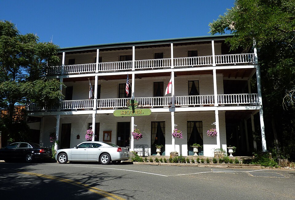
Photograph of St. George Hotel
Photograph by Bobak Ha'Eri, CC BY 3.0. Via Wikimedia Commons.

St. George Hotel

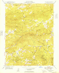
Listed on the National Register of Historic Places in 1984. 12 historic topographic surveys show this location, the earliest from 1889.

From the record

“George Hotel in Volcano, Amador County, California. It was built in 1867, after the two previous hotels burned.”

Wikipedia article St. George Hotel (Volcano, California), CC BY-SA 4.0.

One of 22 National Register listings published here for Amador County · listed in 1984 · category: Building.

Sources: the Wikipedia article · the case file at the National Archives · the National Register database, National Park Service · the Wikipedia article
The listing

  • What is counted as historic. The nomination lists 1 building as contributing to the listing.
  • Address. 2 Main St., Volcano, 95689
  • When was it listed? September 1984
  • Category. building
  • Census division. Pine Grove-Silver Lake
  • National Register reference number. 84000757 - the number the National Park Service assigned this property when it was listed, and the key its nomination file is catalogued under at the National Archives.

Then and now

1889 to 1993

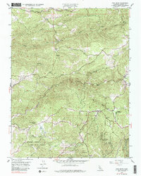
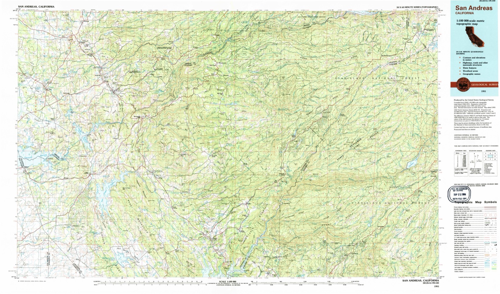
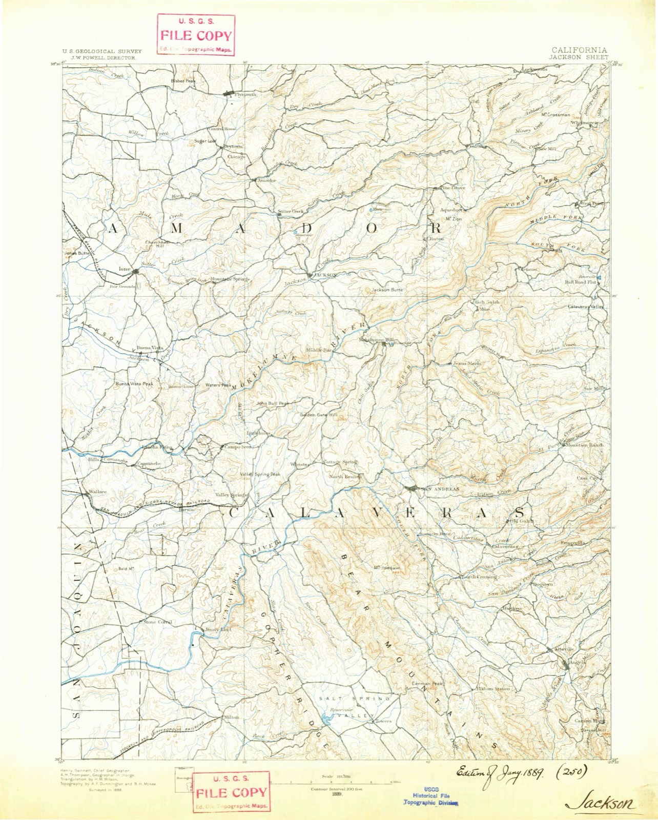
The ground this property stands on, surveyed 104 years apart. Drag the handle to wipe between them. Both sheets are United States Geological Survey originals; neither has been altered.

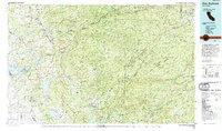
Topographic sheet covering St. George Hotel, surveyed 1993
Topographic sheet covering St. George Hotel, surveyed 1889

Fires near this property

419 since 1992

Regional context, not property-specific evidence. The federal wildfire occurrence database lists 419 fires within 5 miles of St. George Hotel between 1992 and 2020, burning about 467 acres in total. 13 started naturally. 28 were recorded as arson. Distance is straight-line from the map coordinates, so a fire counted here may appear on a neighbouring settlement's page as well.

Reported cause Fires
Debris and open burning130
Missing data/not specified/undetermined122
Equipment and vehicle use72
Arson/incendiarism28
Misuse of fire by a minor20
Power generation/transmission/distribution14
Natural13
Recreation and ceremony10
Smoking8
Other causes2

The most recent of them, most recent first, with the day each was reported and the service that recorded it.

DateCause SizeReported by Name on the report
6 September 2010Misuse of fire by a minorunder an acreAmador-El Dorado UnitEZELLA CT PIONEER
6 September 2004Equipment and vehicle use1.0 acresCentral California DistrictCHARLESTON
6 September 2002Equipment and vehicle useunder an acreAmador-El Dorado UnitDIAMOND
6 September 2002Missing data/not specified/undeterminedunder an acreCentral California DistrictPIONEER
6 September 1999Debris and open burningunder an acreCentral California DistrictKATHY
5 September 2012Debris and open burningunder an acreAmador-El Dorado UnitREDBERRY
5 September 1998Naturalunder an acreCentral California DistrictPATEL INC
4 September 2002Missing data/not specified/undetermined1.0 acresCentral California DistrictSHAKE

Every fire recorded in Amador County

Mines and quarries near this property

10 of 286 shown

Regional context, not property-specific evidence. The federal mineral resources record lists 286 workings within 5 miles of St. George Hotel: 125 occurrences, 68 past producers, 67 unknowns, 18 producers. 18 still produce. What was taken out: Gold, Manganese, Silver, Copper. Distance is straight-line from the map coordinates, so a quarry counted here may appear on a neighbouring settlement's page as well.

Where SiteCommodity StatusRecorded
AjaxSilver, Gold, LeadProducer
AjaxGold, Lead, SilverUnknown
Big Gulch ClaimGold, ManganeseProspect1940
Big PineSilver, Gold, Copper, LeadPast ProducerGold
Black WonderGold, Copper, Iron, LeadPast ProducerChalcopyrite, Galena, Gold, Pyrite
Clinton ConsolidatedGold, Silver, Iron, LeadPast ProducerGalena, Gold, Silver
Dane and MitchellFluorine-FluoriteUnknown
DefenderGold, Lead, Zinc, Copper, IronPast ProducerChalcopyrite, Galena, Gold, Pyrite, Sphalerite
Elmer Evans DepositStone, DimensionOccurrence
Jackass GulchAbrasiveUnknown

Every working recorded in Amador County

Maps showing this location

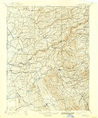
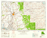
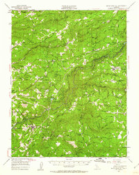
12 surveys

United States Geological Survey topographic sheets whose coverage includes this point. Matched by taking the coordinate the National Park Service records for this property, then testing that coordinate against the published boundary of every sheet.

Sources for this property

National Archives recordThe nomination case file for reference 84000757 in Record Group 79.
Wikipedia articleCommunity-written account of this property, licensed CC BY-SA.
Amador CountyAll 22 listed properties in this county.

Provenance

  • Listing record. National Park Service National Register of Historic Places, listed-properties dataset, current to 2026-05-22.
  • Map join. Address geocoded through the United States Census geocoder, then tested against the published boundary of every sheet in the USGS Historical Topographic Map Collection.
  • How this page is made. Listing fields come from federal records; map-sheet coverage is a labelled coordinate-to-boundary calculation, not a source-field claim.
  • Wildfire. Short, Karen C. 2022. Spatial wildfire occurrence data for the United States, 1992-2020 [FPA_FOD_20221014]. 6th Edition. Fort Collins, CO: Forest Service Research Data Archive. https://doi.org/10.2737/RDS-2013-0009.6 Collected with United States Government funding and usable without additional permissions or fees.
  • Mines and quarries. USGS Mineral Resources Data System (MRDS) https://mrdata.usgs.gov/mrds/ A work of the United States government, no copyright under 17 U.S.C. 105.