“Capture of the County Seat - Killing of Colonel Collyer - Loss of the County Seat - Bull Fight and Election - Mines - First School - Improvements in 1854 - Hanging Tree - Griswold Murder - Great Freshet 1861 - Great Fire 1862 - Flood and Loss of Life 1878 - Big Frolic - Celebration of Admission Day - Mokelumne River - Murphy's Gulch - Hunt's Gulch - Tunnel Hill - Butte Basin - Butte Mountain - Butte City - Marriage in High Life - The Gate - Ohio Hill - Slab City- Clinton - Spaulding's Invention.”
Chaptee Xxx Jackson - History of Amador County, California, with Illustrations and Biographical Sketches of Its Prominent Men and Pioneers (1881). Machine-read text.
22 National Register listings published here · the county-history sources tell 6 stories.
California within the United StatesAmador County within California
Explore by year
What the record shows
5 places in this county were surveyed for fire insurance: Jackson, Sutter Creek, Amador, Ione, Plymouth, between 1890 and 1930.
21 fire insurance atlases survive for the county. Topographic coverage is national; fire insurance survey reached only incorporated places with something worth insuring.
1,275 topographic sheet readings cover the county's settlements.
22 properties here are on the National Register of Historic Places: 14 buildings, 6 districts and 2 structures.
8 of the 22 listings were added during the 1970s.
The Geographic Names Information System records 44 populated places in this county; 44 are covered by at least one topographic sheet.
What happened here
6 accounts
Among them: Chaptee Xxxii Lancha Plana And Vicinity; Chaptee Xxxii 1 Volcano And Vicinity; Chaptee Xxxv North-Western Part Of The County. These passages come from the
identified county-history source books. Each inset names its own source
and opens the exact section it comes from.
Its Early Settlers - Cholera and Diarrhea - Judge Palmer's Bridge - Fires - First School - Notable Homicide - Bluff Mining - Open Sea - Chaparral Hill - Growth of the Town - Bonita Affair - Indian War - Butler Claim - Decline of the Town - Put's Bar and the Fruit Interest - Overflows - Townerville - Camp Opera - French Camp - Copper Centre.
As it Looked in '49 - Georgia Claim - Sharp Mining Broker - Rod. Stowell - Agriculture - Society - A Philosopher - Hydraulic Mining - Nature of the Gravel Deposits - China Gulch - Volcano Tunnel - Former Project of Lowering the Outlet - Fires - Largest Fire - Fire of 1865 - Year of Fires^ Burning of Hanford's Store - Miners' Joke - Nocturnal Visitor - Murder of Beck man - Lynch Law - Stage Robber ies - Miners' Library Association - Dramatic Societies - Russel's Hill - Fort John - Upper Rancheria - Aqueduct City - Contreras - Ashland - Grizzly Hill - Wheeler Dig gings - Plattsburg - How Named - Hunt's Gulch - Spanish Gulch - Whisky Slide - Large Crystal Caves 202 - 218
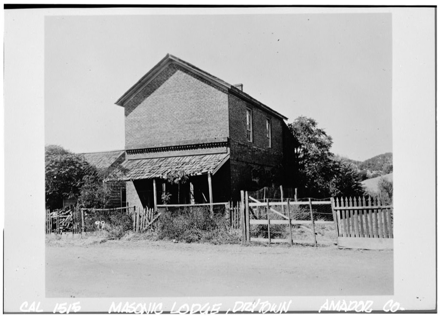
Drytown - Details of Settlement - First Justice of the Peace - Arrival of Families - Scurvy - Great Fire - Farming - Dry Creek - Rattlesnake Gulch - Mile Gulch - Murderers' Gulch - Forest Home - Arkansas Creek - Yankee Hill - Big Nugget - Willow Springs - Central House - Plymouth - Puckerville - Mineral Springs - Fires - Enterprise - Yeomet.
Capture of the County Seat - Killing of Colonel Collyer - Loss of the County Seat - Bull Fight and Election - Mines - First School - Improvements in 1854 - Hanging Tree - Griswold Murder - Great Freshet 1861 - Great Fire 1862 - Flood and Loss of Life 1878 - Big Frolic - Celebration of Admission Day - Mokelumne River - Murphy's Gulch - Hunt's Gulch - Tunnel Hill - Butte Basin - Butte Mountain - Butte City - Marriage in High Life - The Gate - Ohio Hill - Slab City- Clinton - Spaulding's Invention.
On November 7, 1857, Martin Van Buren Griswold was murdered under circumstances that attracted the attention of the people, not only of the county, but also throughout the State. Griswold was a daring, self-possessed, and powerful man, who crossed the plains to Oregon in 1848. On his arrival in Oregon he learned of the discovery of gold in California, and, with his usual decision of character, he immediately turned toward that place.
This was the largest deposit of the drift, belonging to the north and south rivers of the county. Here it seemed to have spread out into a large body, most of which was swept away by the subsequent glacier erosion. The remains of the ancient plain may be easily see around the base of Butte mountain, also on all the hills around.
Taken for the Office of War Information and
the Farm Security Administration, who photographed the country between
1935 and 1944. Works of United States government photographers, with no
known restriction on use. Each opens its catalogue record.
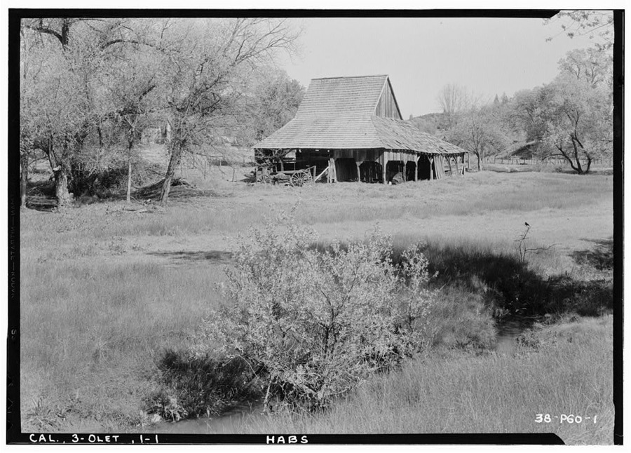
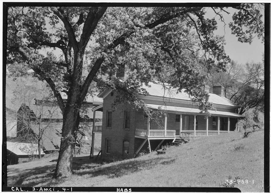
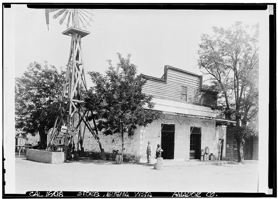
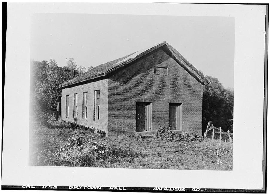
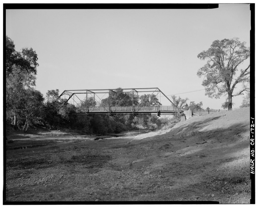
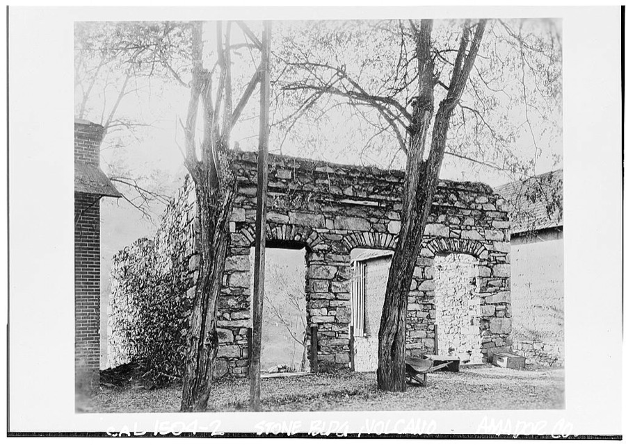
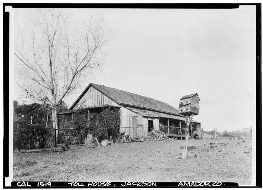
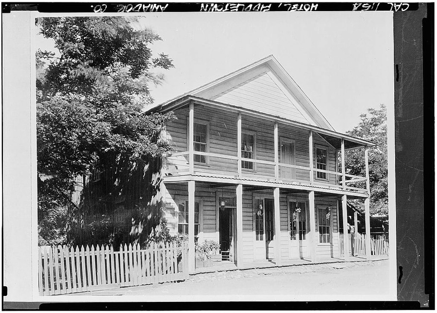
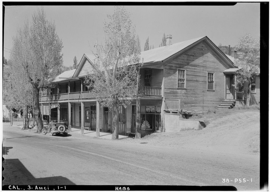
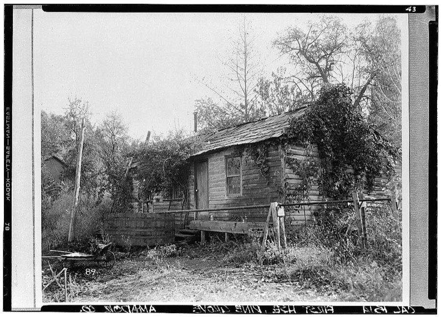
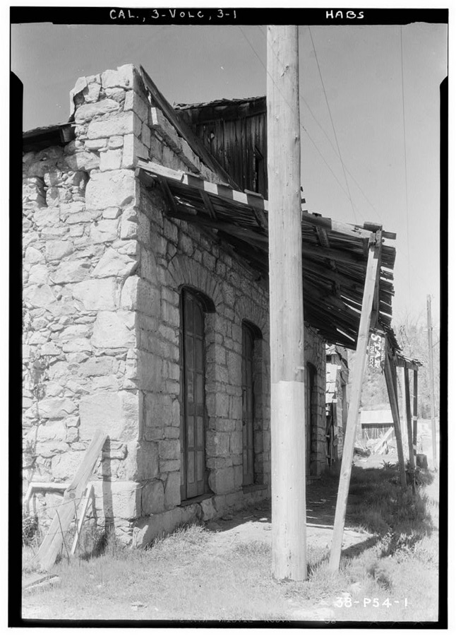
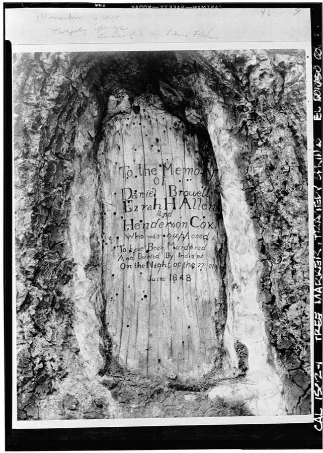
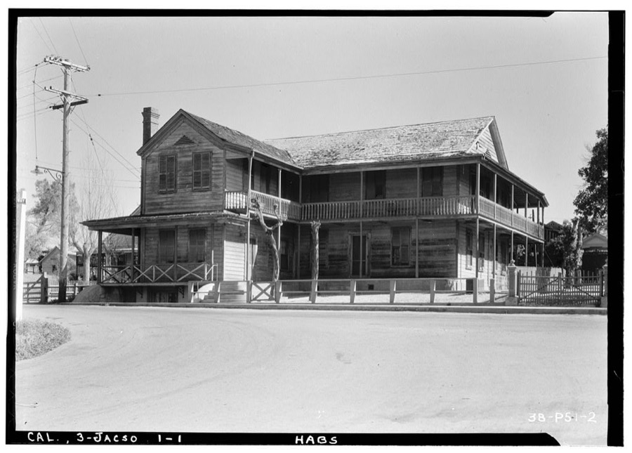
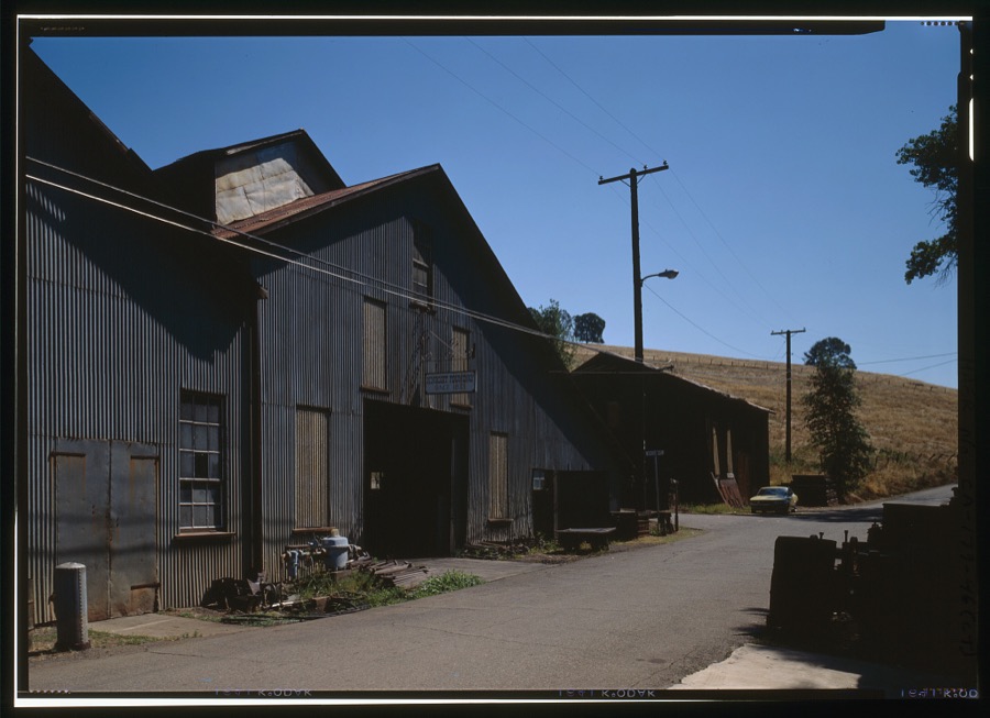
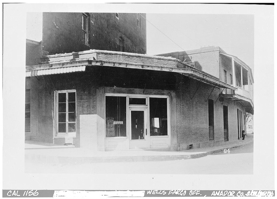
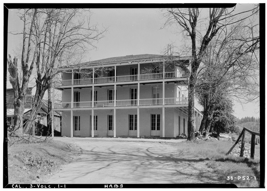
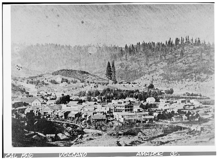
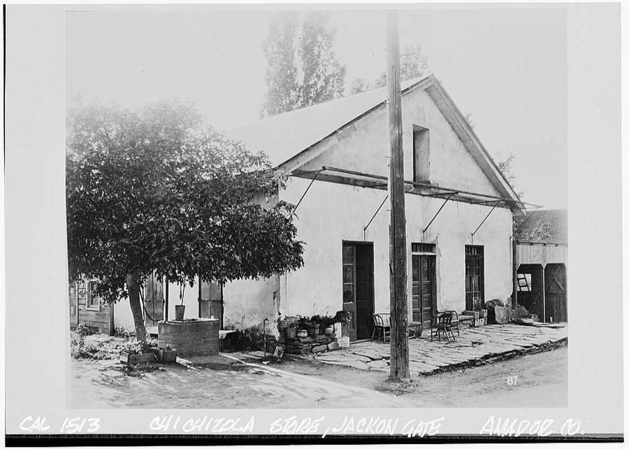
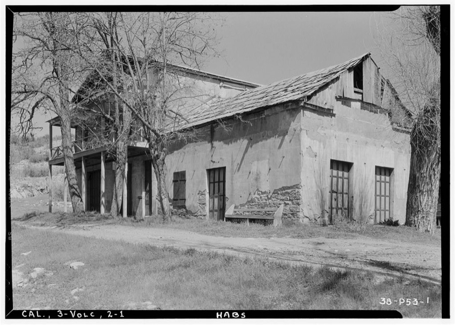
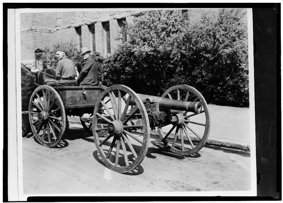
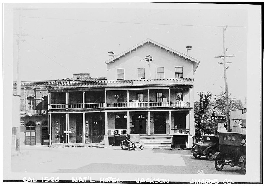
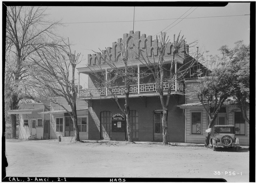
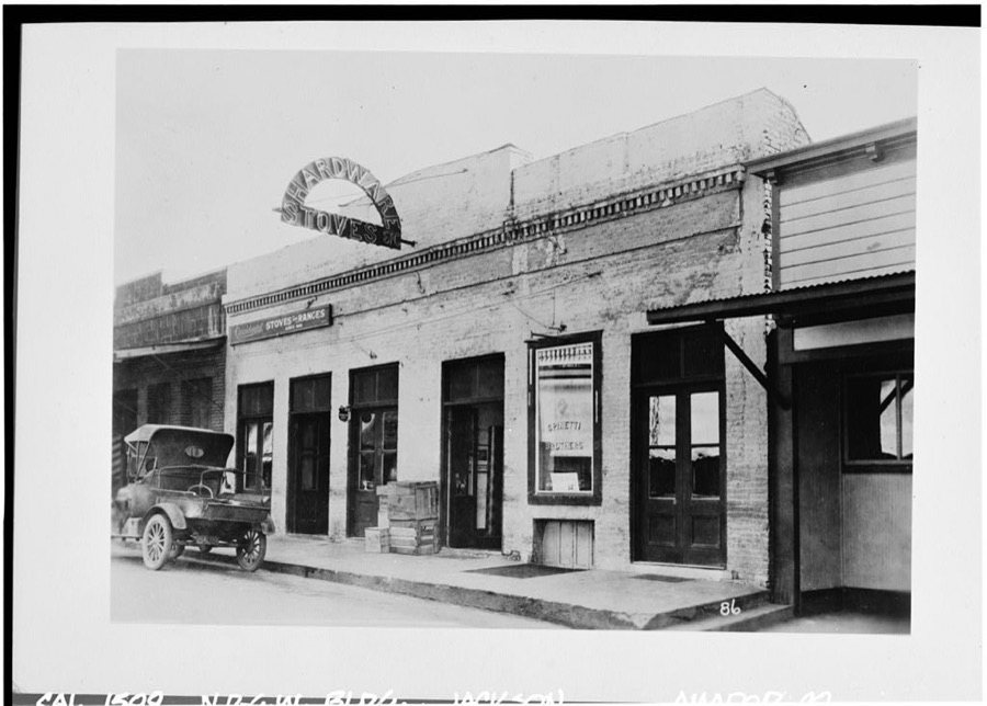
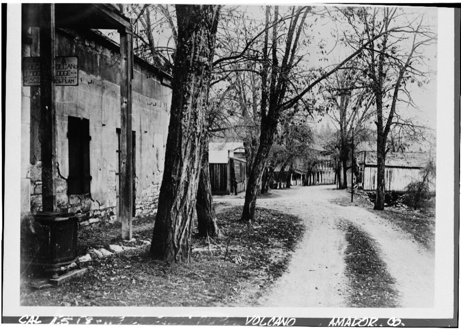
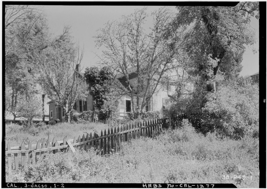
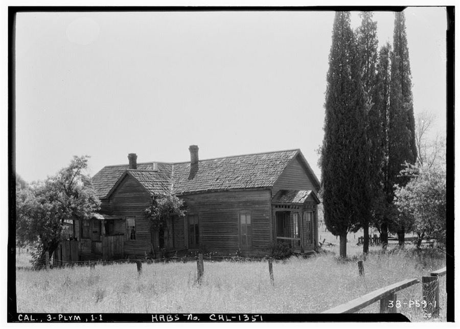
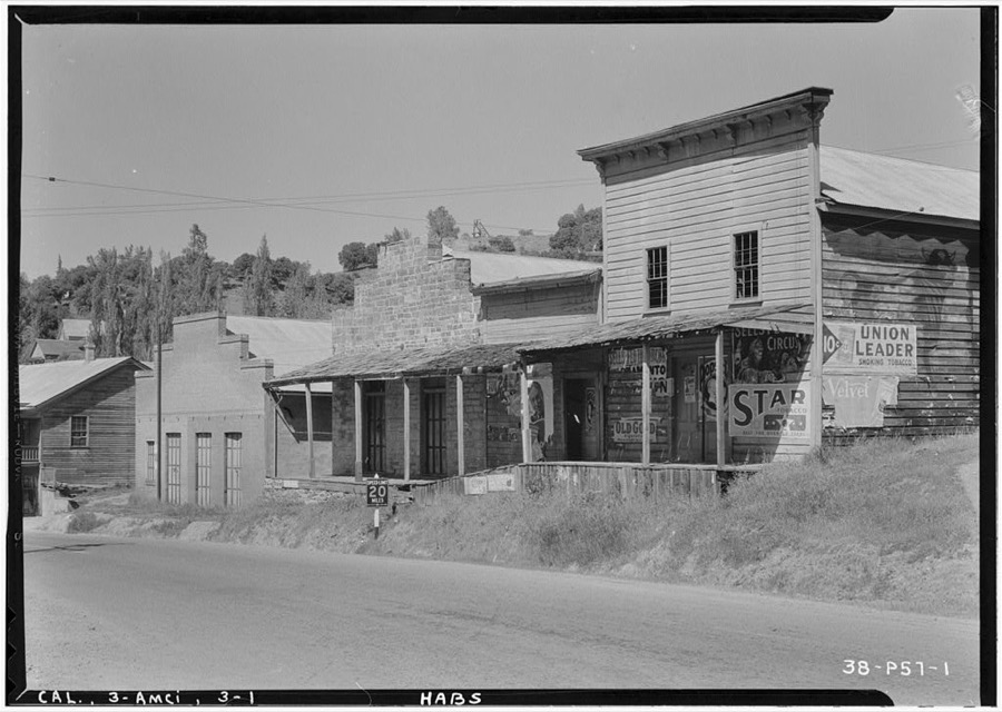
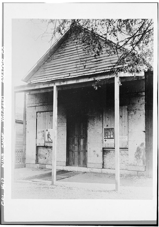
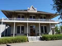
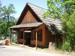
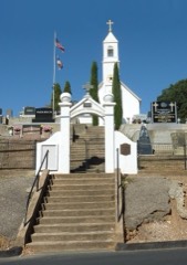
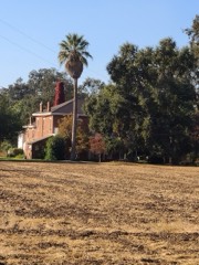
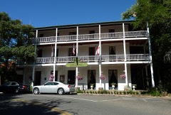
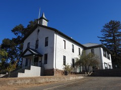
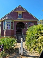
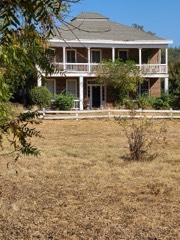
Frame Barn, Fiddletown, Amador County, CA Photographer not recorded. Library of CongressBrick House, Highway 49, Amador City, Amador County, CA Photographer not recorded. Library of CongressBuena Vista Stone Store, Lancha Plana & Jackson-Stockton Roads, Buena Vista, Amador County, CA Photographer not recorded. Library of CongressDrytown Hall, Drytown, Amador County, CA Photographer not recorded. Library of CongressDry Creek Bridge, Spanning Dry Creek at Cook Road, Ione, Amador County, CA Photographer not recorded. Library of CongressMain Street (Commercial Buildings, Stone Walls), Volcano, Amador County, CA Photographer not recorded. Library of CongressToll House, Jackson, Amador County, CA Photographer not recorded. Library of CongressSt. Charles Hotel, Fiddletown, Amador County, CA Photographer not recorded. Library of CongressAmador Hotel, Highway 49, Amador City, Amador County, CA Photographer not recorded. Library of CongressFirst House, Pine Grove, Amador County, CA Photographer not recorded. Library of CongressStone Store, Main Street, Volcano, Amador County, CA Photographer not recorded. Library of CongressCarved Tree Marker, Tragedy Spring (historical), Amador County, CA Photographer not recorded. Library of CongressHotel, Marcucci & Broadway, Jackson, Amador County, CA Photographer not recorded. Library of CongressKnight Foundry, 13 Eureka Street, Sutter Creek, Amador County, CA Photographer not recorded. Library of CongressWells Fargo Express Office, Jackson, Amador County, CA Photographer not recorded. Library of CongressSt. George Hotel, Main & National Streets, Volcano, Amador County, CA Photographer not recorded. Library of CongressVolcano, General View, Volcano, Amador County, CA Photographer not recorded. Library of CongressChichizola Store, Jackson Gate Road, Jackson, Amador County, CA Photographer not recorded. Library of CongressMasonic & I. O. O. F. Building, Main Street, Volcano, Amador County, CA Photographer not recorded. Library of Congress"Old Abe" Cannon, Volcano, Amador County, CA Photographer not recorded. Library of CongressNational Hotel, Main & Water Streets, Jackson, Amador County, CA Photographer not recorded. Library of CongressImperial Hotel, Highway 49, Amador City, Amador County, CA Photographer not recorded. Library of CongressNative Daughters of the Golden West Building, Jackson, Amador County, CA Photographer not recorded. Library of CongressAdams Express Company Building, Main & Consolation Streets, Volcano, Amador County, CA Photographer not recorded. Library of CongressBrick House, Jackson, Amador County, CA Photographer not recorded. Library of CongressMasonic Temple, Drytown, Amador County, CA Photographer not recorded. Library of CongressHouse, Plymouth, Amador County, CA Photographer not recorded. Library of CongressCommercial Buildings, Highway 49, Amador City, Amador County, CA Photographer not recorded. Library of CongressWine Shop, Volcano, Amador County, CA Photographer not recorded. Library of Congress
Places on the National Register
22
Every property in this county listed on the
National Register of Historic Places, with the year it was listed and the
federal nomination document.
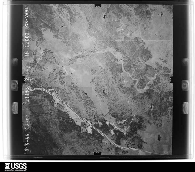
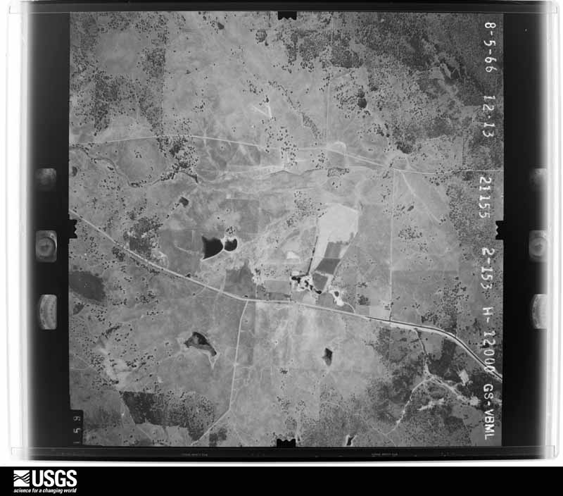
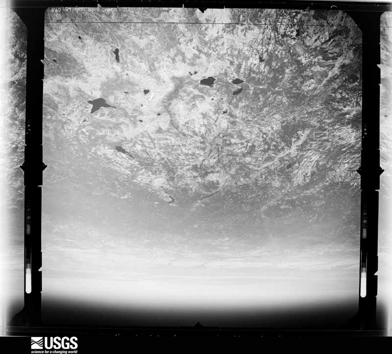
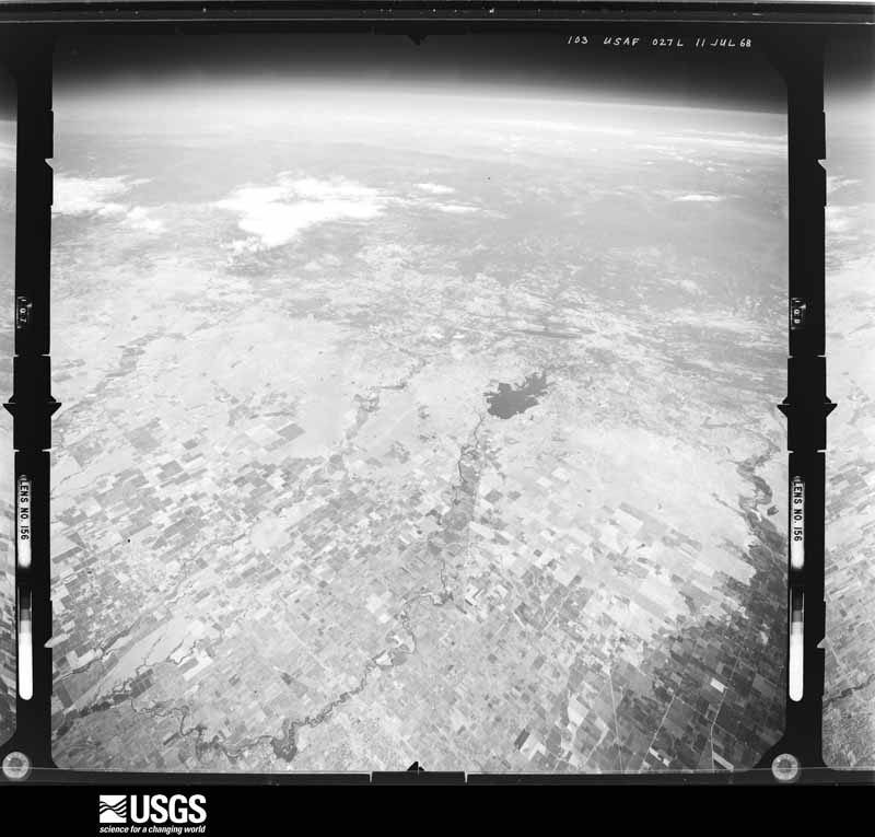
Drawn when these were printed as
single large sheets: the town seen from the air, and the county
divided into its farms with every owner named. Each opens the
original at the Library of Congress.
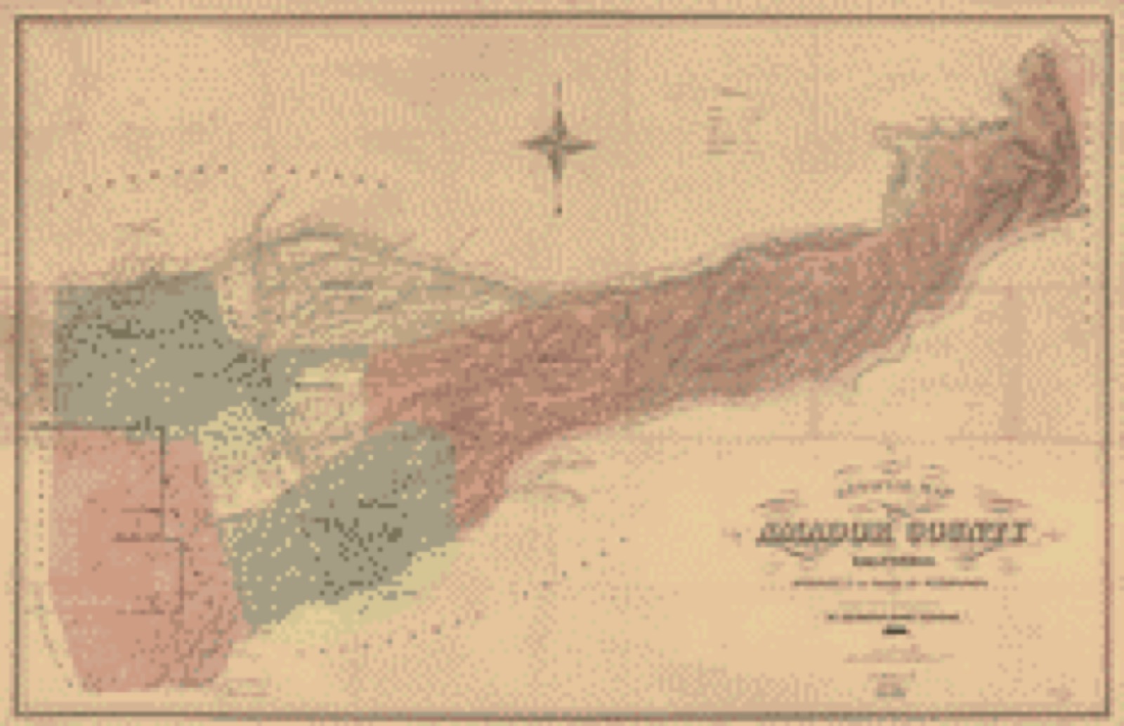
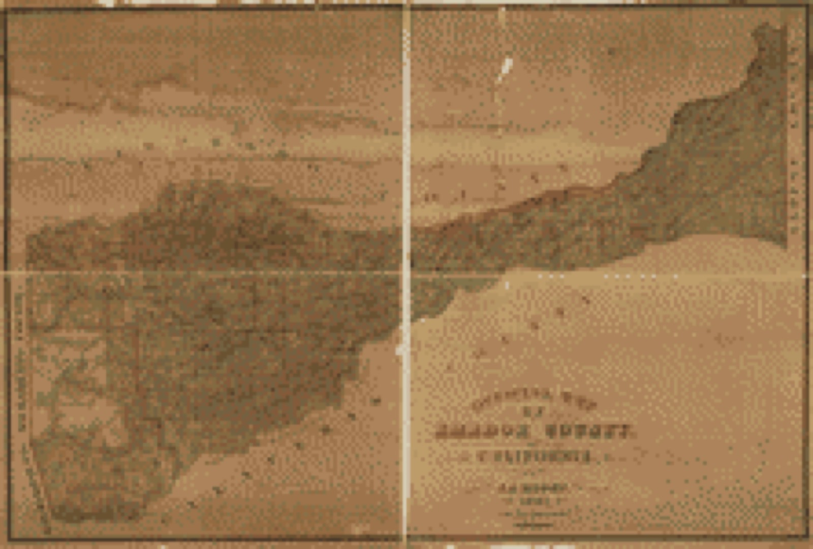
Land ownership map (1866) - Official map of Amador County, California. : approved by the Board of Supervisors. Library of Congress.Land ownership map (1881) - Official map of Amador County, California. Library of Congress.
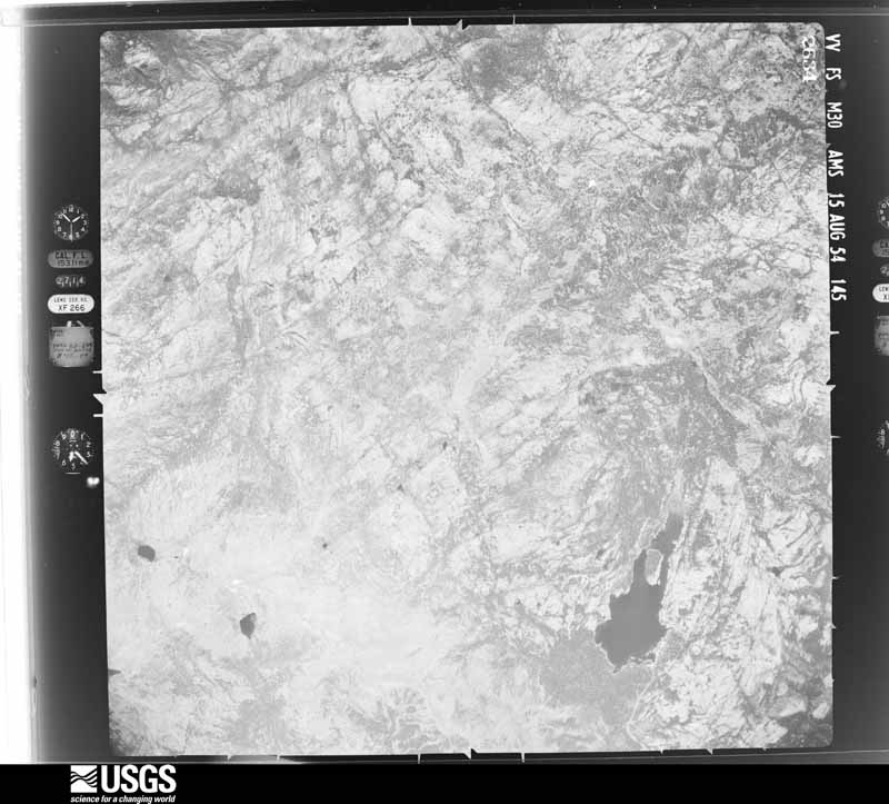
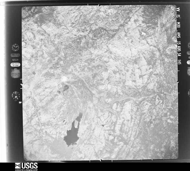
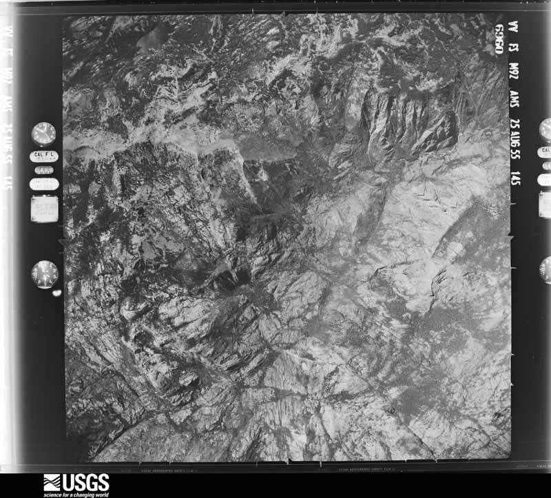
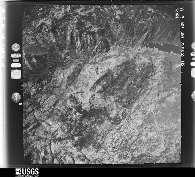
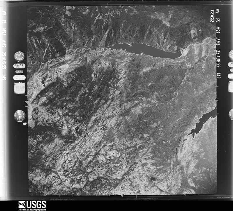
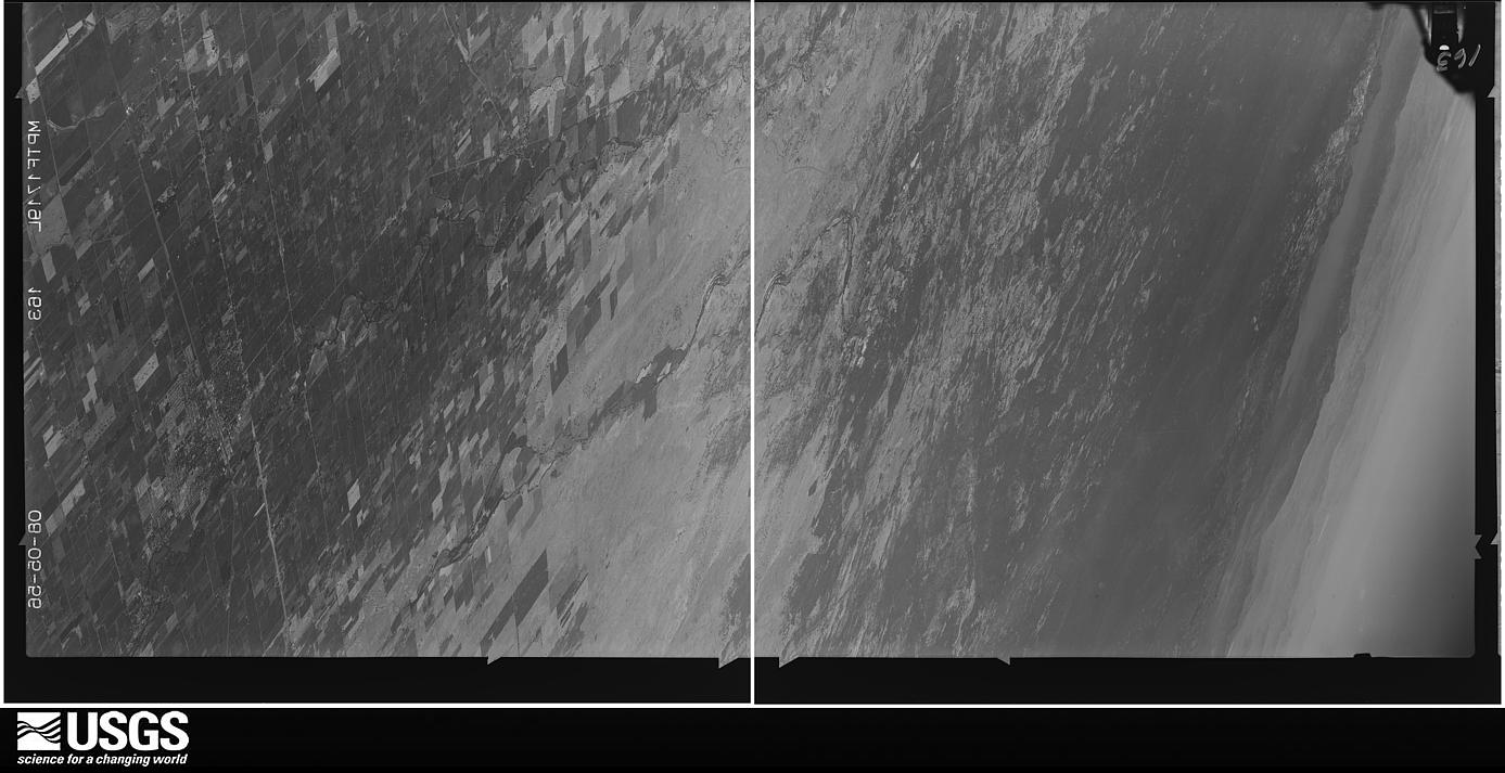
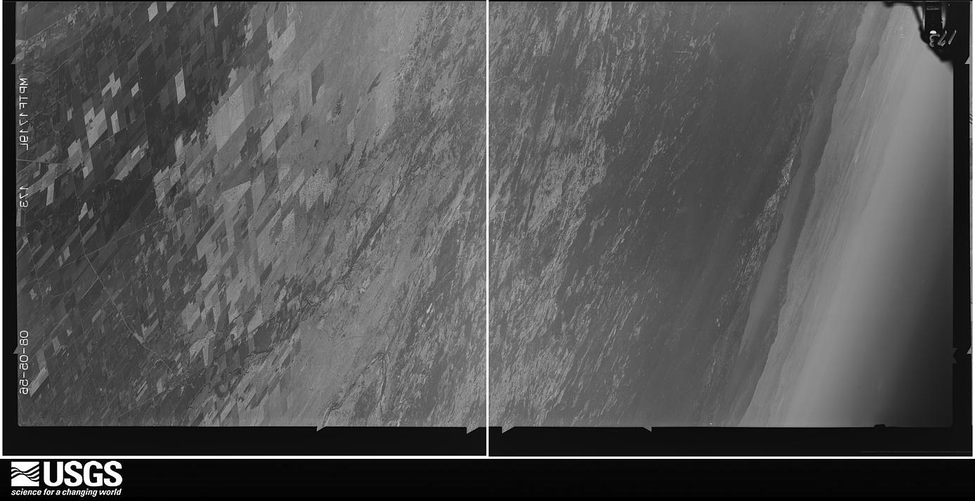
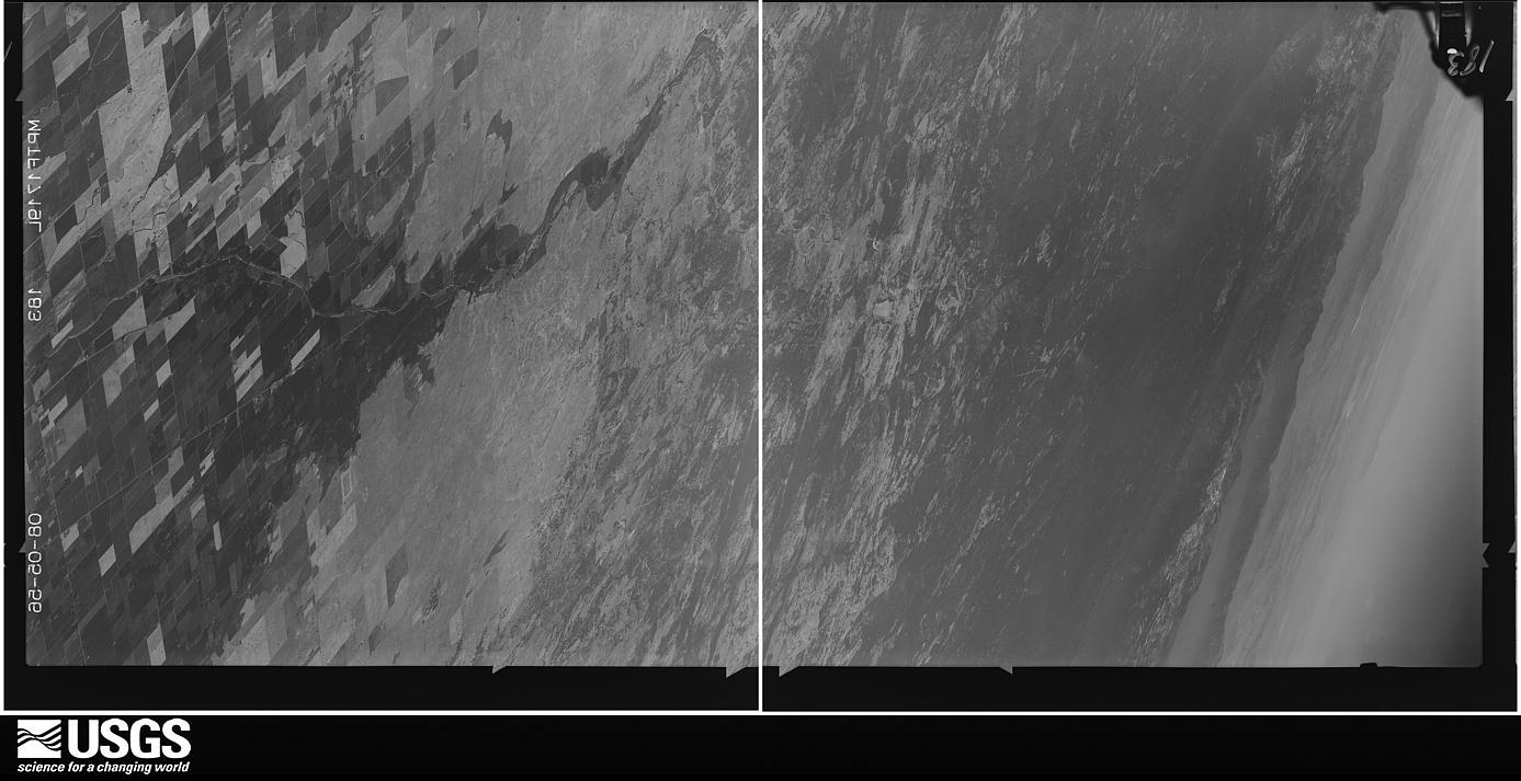
The county from the air
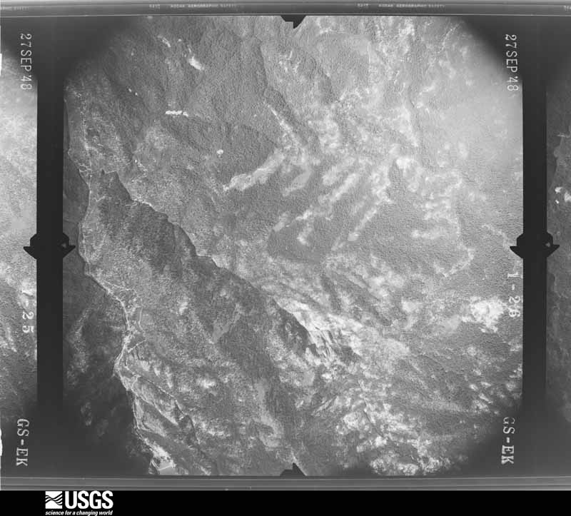
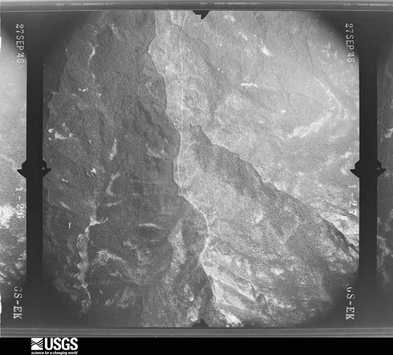
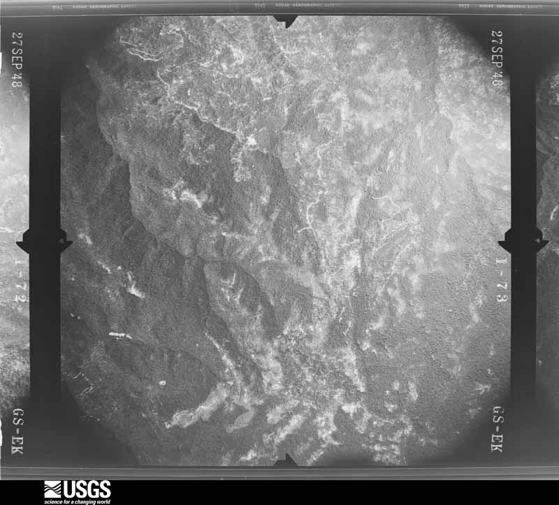
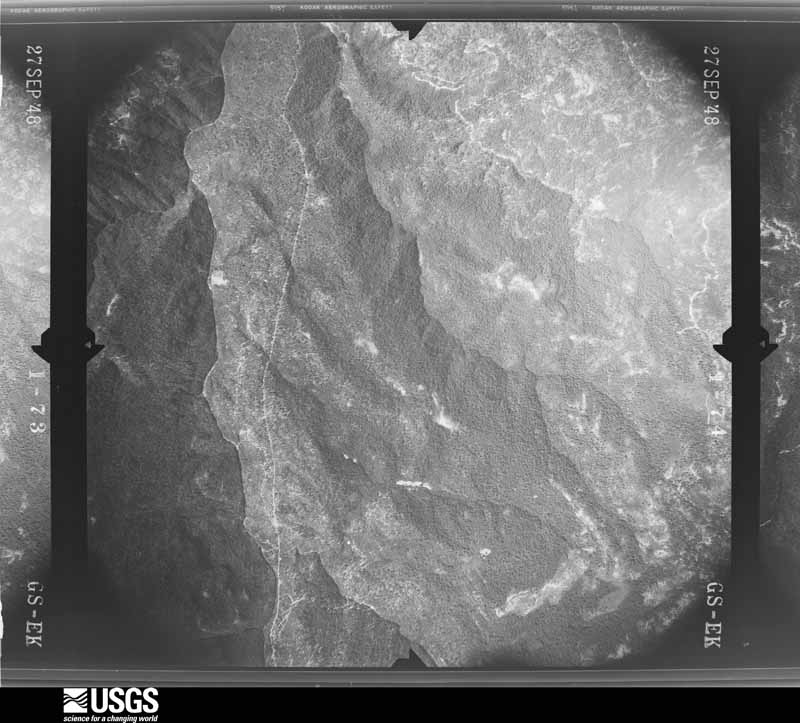
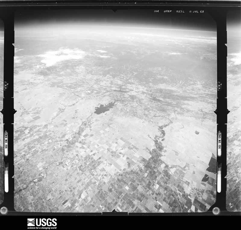
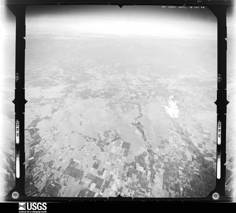
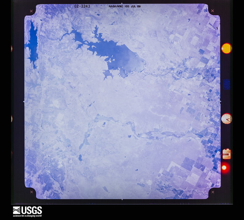
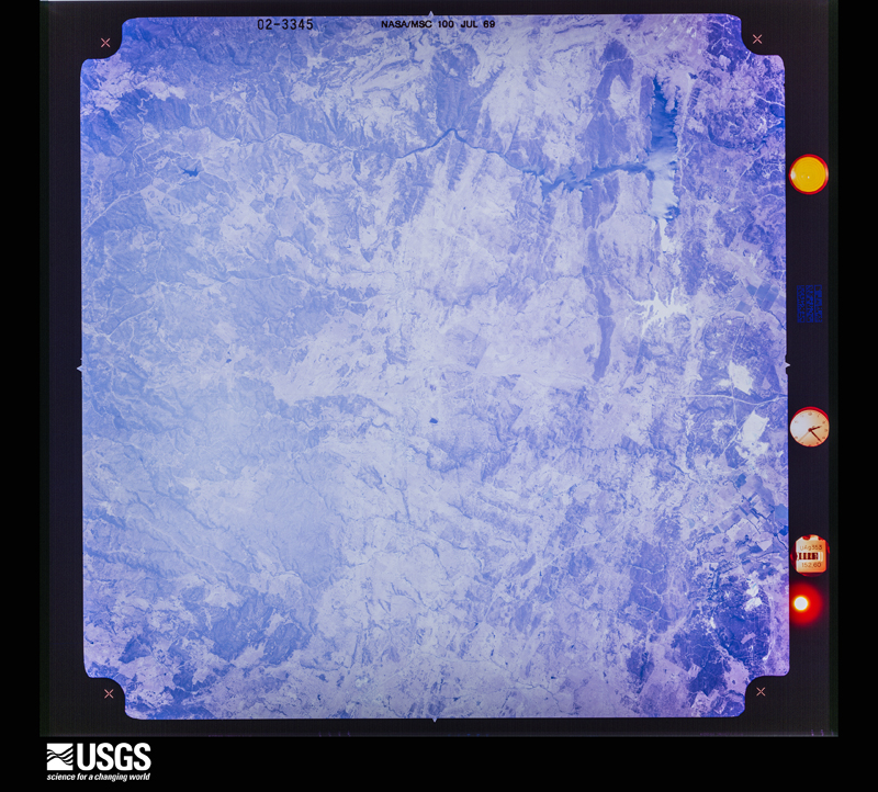
48 shown
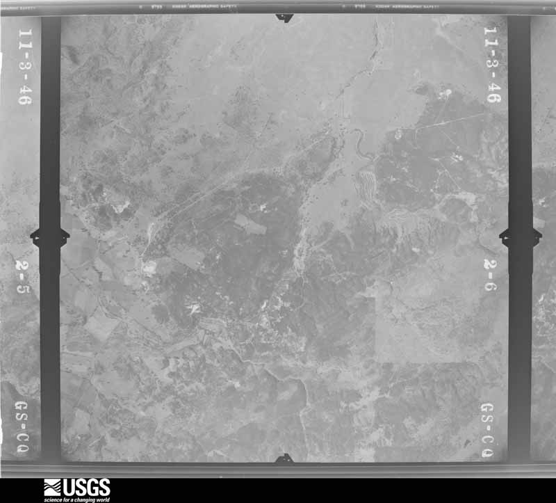
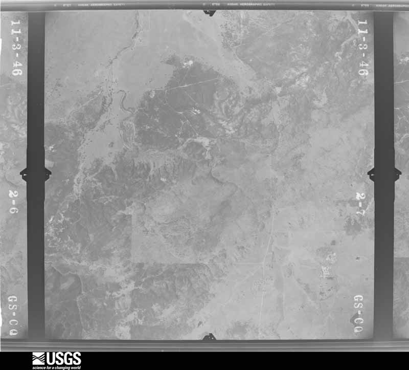
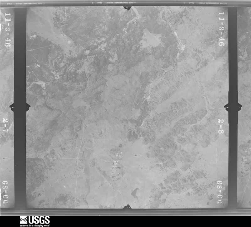
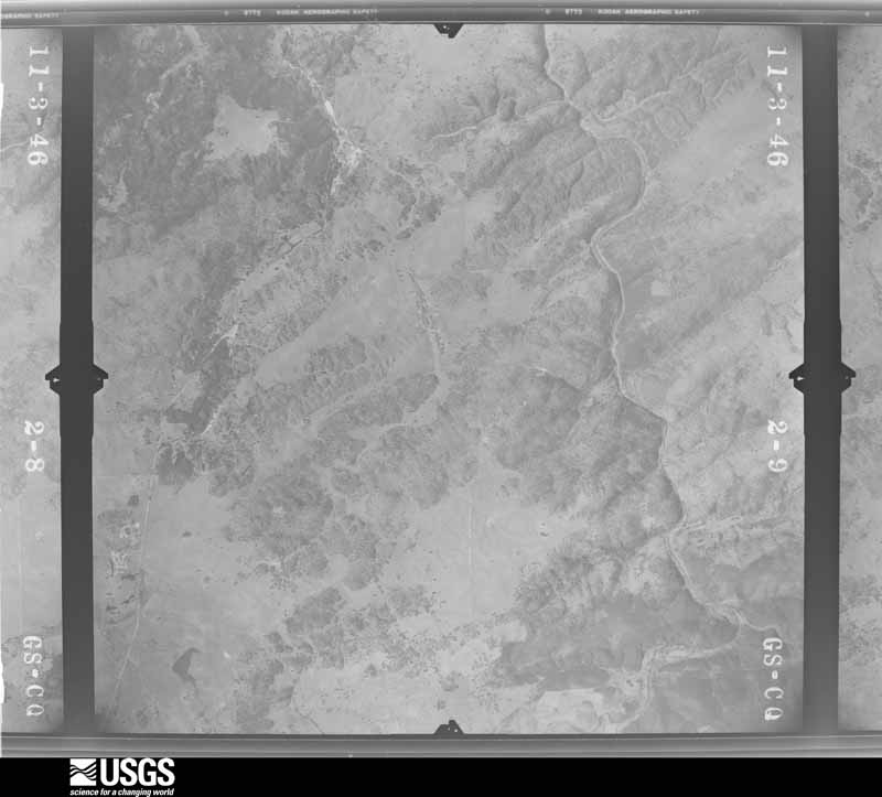
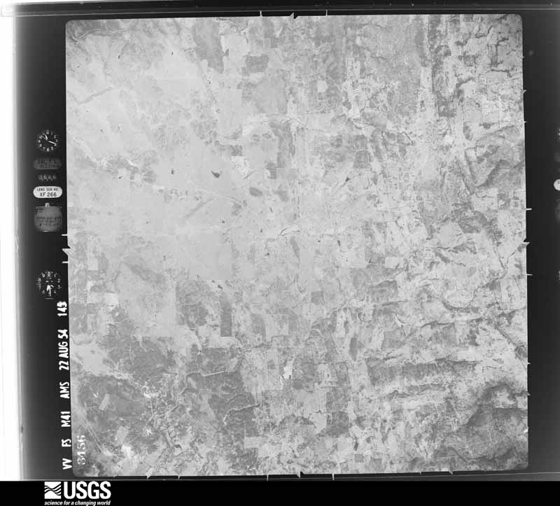
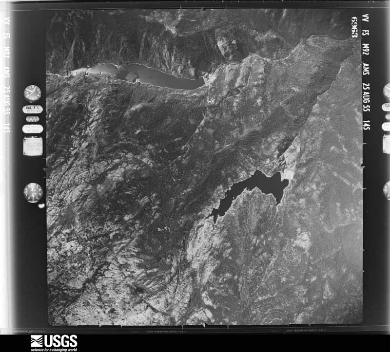
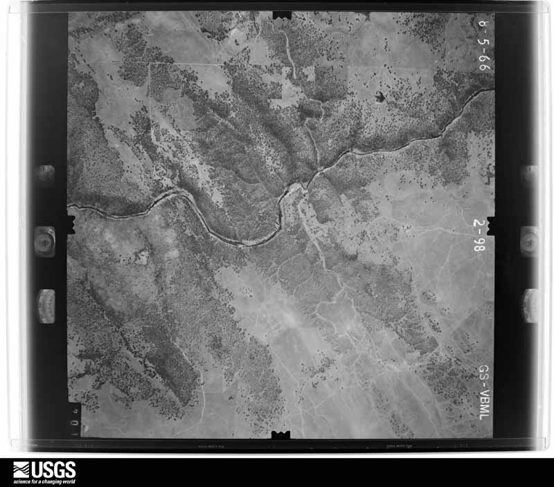
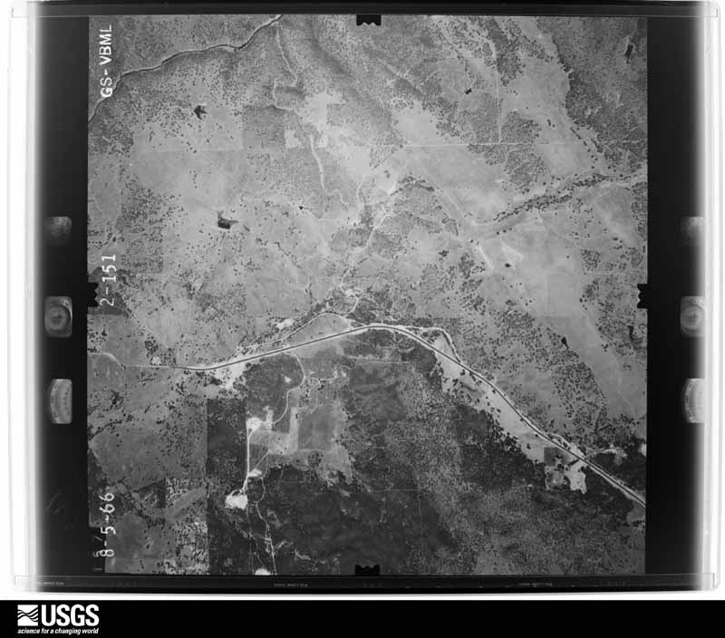
Flown by the U.S. Geological Survey
between 1937 and 1989, the Aerial Photo Single Frames collection is
the definitive mid-century view of the land: fields, roads and rivers
as the camera saw them. The Survey holds 3,122 frames inside the
rectangle that bounds this county; the 48 frames below were taken over
the county itself, chosen across the decades of flights (at most four
a year from that rectangle), so one flight cannot crowd out the rest.
The full set is free to browse and download at
EarthExplorer under the dataset Aerial Photo Single
Frames.
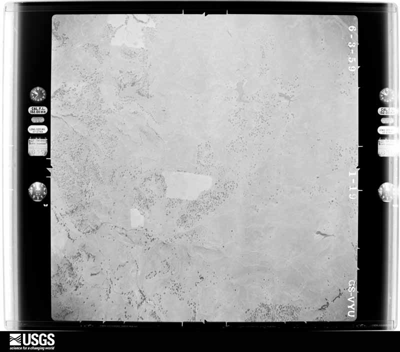
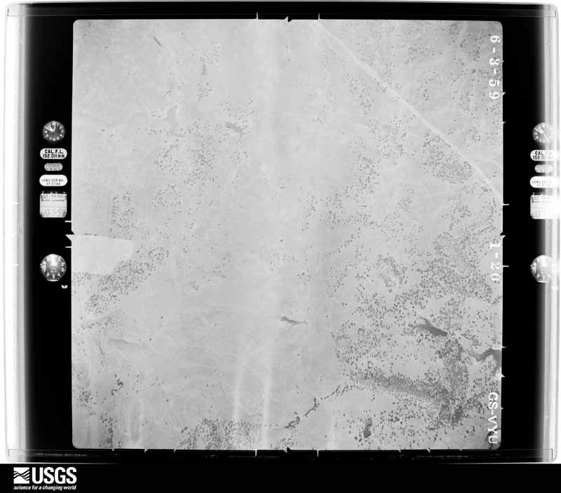
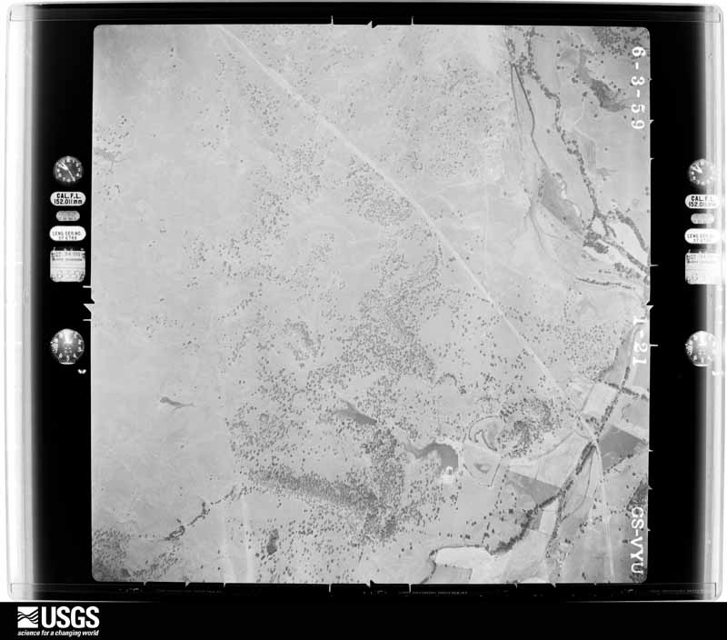
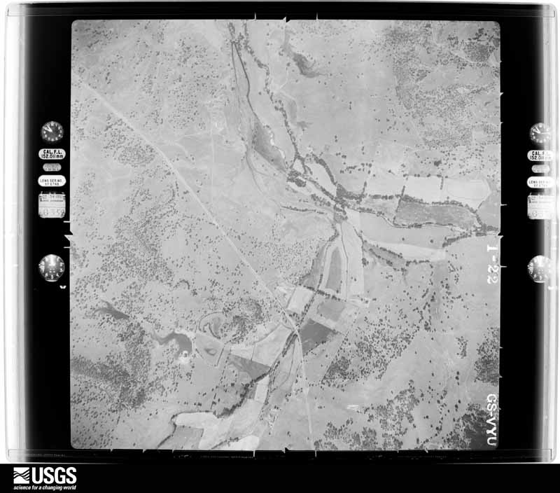
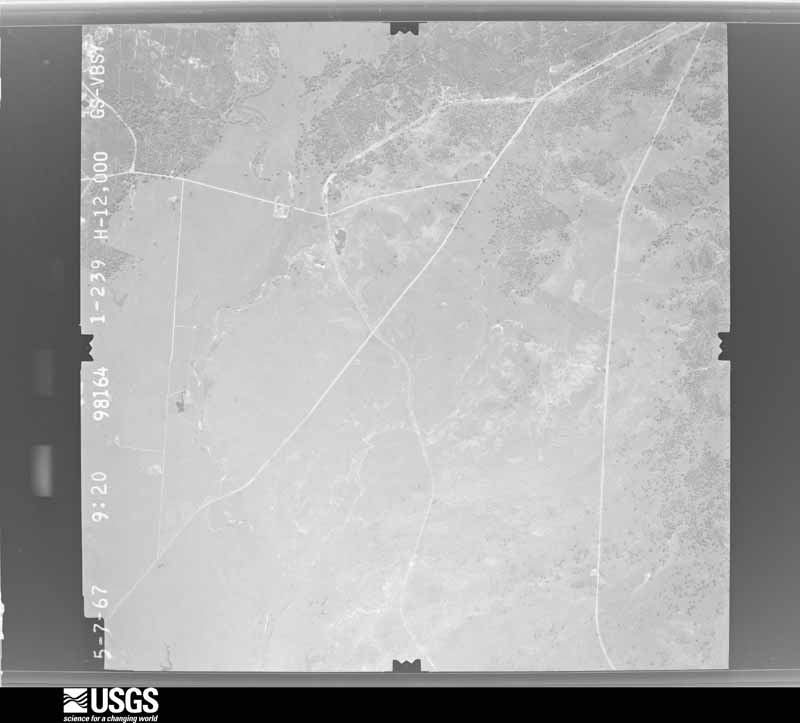
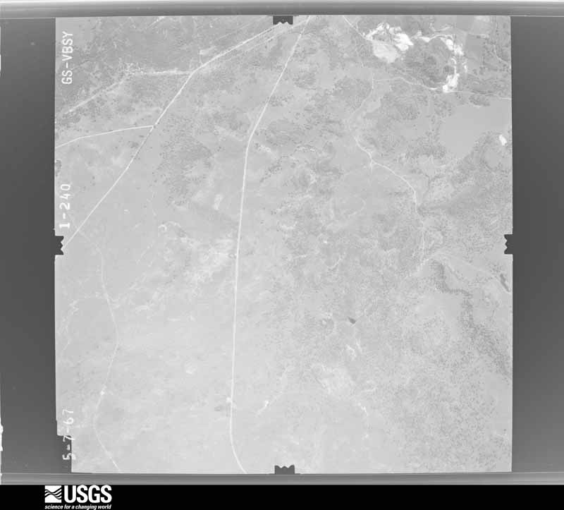
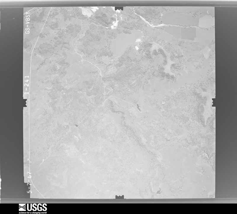
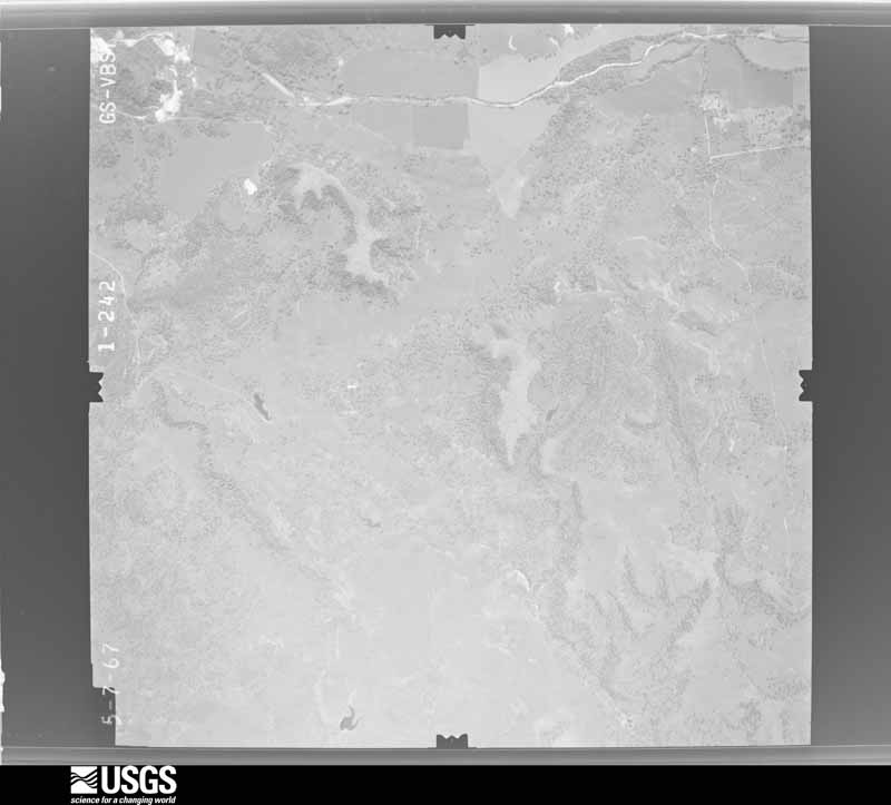
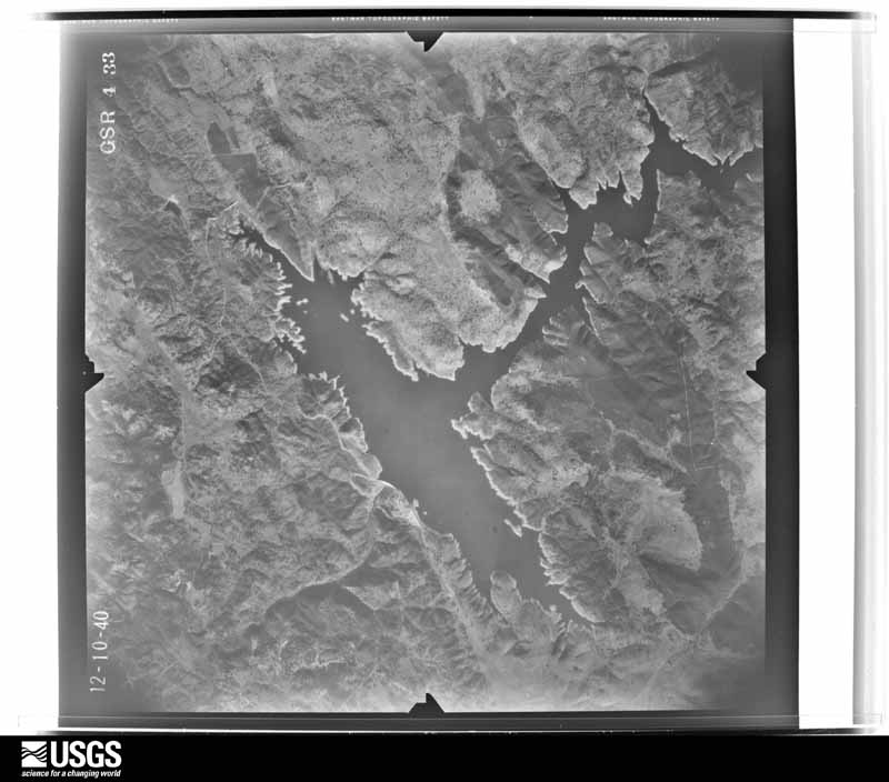
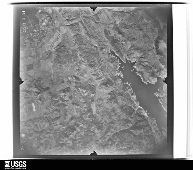
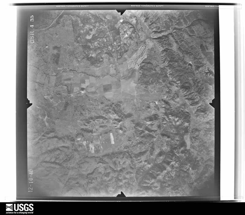
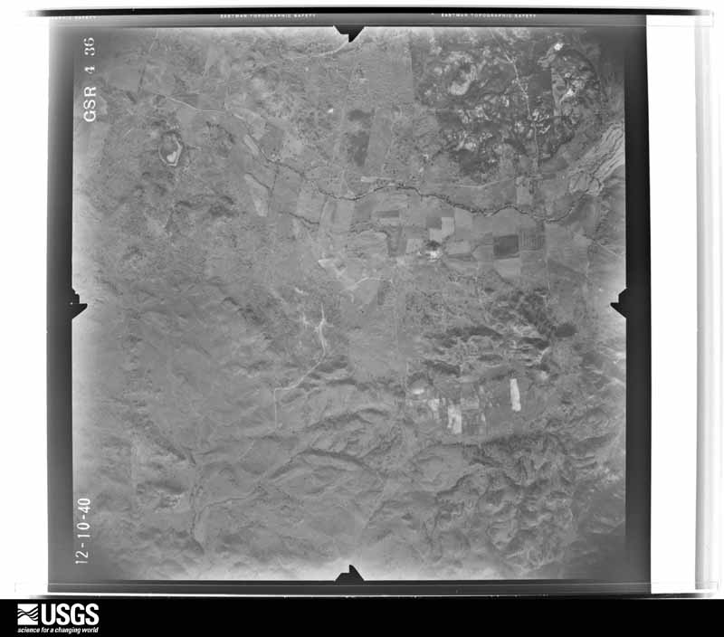
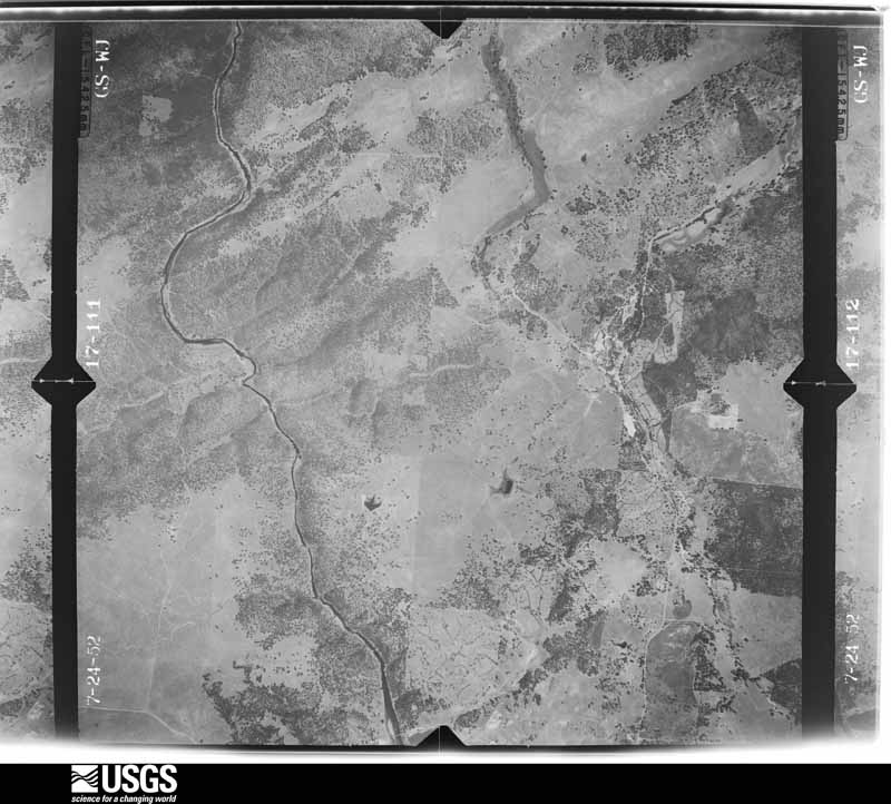
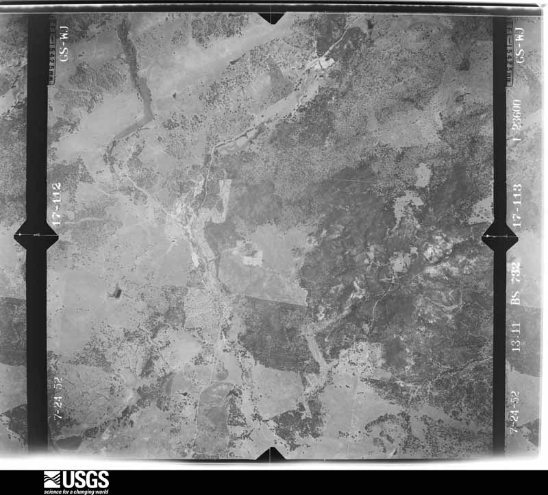
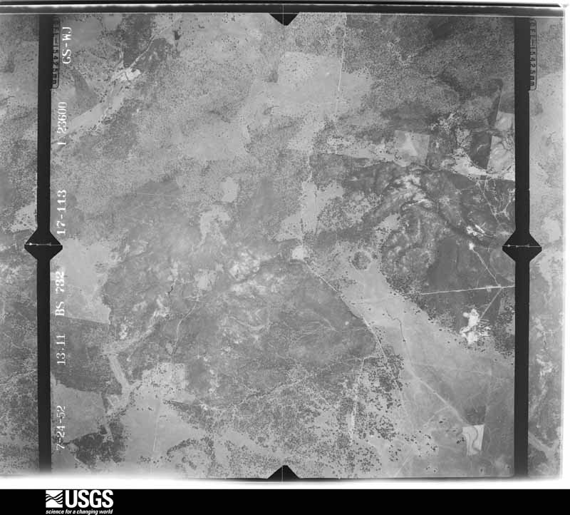
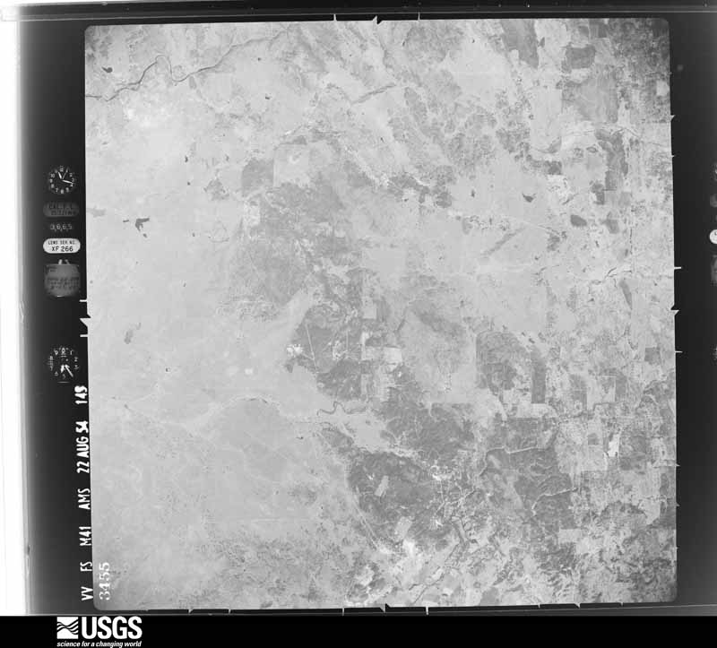
1954-08-15, scale 1:63000. U.S. Geological Survey aerial photograph.1954-08-15, scale 1:63000. U.S. Geological Survey aerial photograph.1955-08-25, scale 1:63000. U.S. Geological Survey aerial photograph.1955-08-25, scale 1:63000. U.S. Geological Survey aerial photograph.1955-08-25, scale 1:63000. U.S. Geological Survey aerial photograph.1956-08-05, scale 1:21670. U.S. Geological Survey aerial photograph.1956-08-05, scale 1:21670. U.S. Geological Survey aerial photograph.1956-08-05, scale 1:21670. U.S. Geological Survey aerial photograph.1959-06-03, scale 1:20000. U.S. Geological Survey aerial photograph.1959-06-03, scale 1:20000. U.S. Geological Survey aerial photograph.1959-06-03, scale 1:20000. U.S. Geological Survey aerial photograph.1959-06-03, scale 1:20000. U.S. Geological Survey aerial photograph.1967-05-07, scale 1:24000. U.S. Geological Survey aerial photograph.1967-05-07, scale 1:24000. U.S. Geological Survey aerial photograph.1967-05-07, scale 1:24000. U.S. Geological Survey aerial photograph.1967-05-07, scale 1:24000. U.S. Geological Survey aerial photograph.1940-12-10, scale 1:34680. U.S. Geological Survey aerial photograph.1940-12-10, scale 1:34680. U.S. Geological Survey aerial photograph.1940-12-10, scale 1:34680. U.S. Geological Survey aerial photograph.1940-12-10, scale 1:34680. U.S. Geological Survey aerial photograph.1946-11-27, scale 1:37400. U.S. Geological Survey aerial photograph.1946-11-27, scale 1:37400. U.S. Geological Survey aerial photograph.1946-11-27, scale 1:37400. U.S. Geological Survey aerial photograph.1946-11-27, scale 1:37400. U.S. Geological Survey aerial photograph.1948-10-21, scale 1:43200. U.S. Geological Survey aerial photograph.1948-10-21, scale 1:43200. U.S. Geological Survey aerial photograph.1948-10-21, scale 1:43200. U.S. Geological Survey aerial photograph.1948-10-21, scale 1:43200. U.S. Geological Survey aerial photograph.1952-07-15, scale 1:23600. U.S. Geological Survey aerial photograph.1952-07-15, scale 1:23600. U.S. Geological Survey aerial photograph.1952-07-15, scale 1:23600. U.S. Geological Survey aerial photograph.1954-08-22, scale 1:63000. U.S. Geological Survey aerial photograph.1954-08-22, scale 1:63000. U.S. Geological Survey aerial photograph.1955-08-25, scale 1:63000. U.S. Geological Survey aerial photograph.1966-08-05, scale 1:24000. U.S. Geological Survey aerial photograph.1966-08-05, scale 1:24000. U.S. Geological Survey aerial photograph.1966-08-05, scale 1:24000. U.S. Geological Survey aerial photograph.1966-08-05, scale 1:24000. U.S. Geological Survey aerial photograph.1968-07-01, scale 1:122000. U.S. Geological Survey aerial photograph.1968-07-01, scale 1:148000. U.S. Geological Survey aerial photograph.1968-07-01, scale 1:148000. U.S. Geological Survey aerial photograph.1968-07-01, scale 1:136000. U.S. Geological Survey aerial photograph.1969-07-17, scale 1:119654. U.S. Geological Survey aerial photograph.1969-07-17, scale 1:119654. U.S. Geological Survey aerial photograph.1969-07-17, scale 1:119654. U.S. Geological Survey aerial photograph.1969-07-17, scale 1:119654. U.S. Geological Survey aerial photograph.1970-07-24, scale 1:124000. U.S. Geological Survey aerial photograph.1970-07-24, scale 1:125660. U.S. Geological Survey aerial photograph.
Weather records
25 stations, 20 gages
The thermometers that kept this county's weather, and the gages that measured the flow of its streams, as the federal records hold them. The extremes below are measured values from those records, not estimates.
ELECTRA P H1903 to 1997, hottest 517.2 C, coldest -11.1 C
Who lived here in 1950, one enumeration
district at a time, as the Census Bureau described each district.
Each row opens its official National Archives result, with Population
Schedules and ED Maps available there.
3-1Judicial Township 1: Jackson city: Jackson city - That part Bounded by City limits; City limits; Court, Church, Unnamed st., Summit, Court, Main, Jackson Creek, City limits; City limits
3-2Jackson city - That part Bounded by Court, Summit, Unnamed st., Church, Court, City limits; City limits; City limits; Broadway, Jackson Creek, Main
3-3Jackson city - That part Bounded by Jackson Creek, Broadway; Broadway, City limits; City limits; City limits
3-4Judicial Township 1 - That part outside Jackson city; Show separately Jackson Indian Rancheria
3-5Judicial Township 2: Ione, unincorporated Bounded by State Hwy. 104, County rd. to Plymouth, Southeasterly line from jct. county road to Plymouth and Unnamed street to jct. Sutter Creek and 1st Northern Branch of Sutter Creek; So. Branch of Sutter Creek; Southern Pacific Railroad; State Hwy. 97, (Five Mile Drive), West Ione Cut Off rd.
3-6Judicial Township 2 - That part outside Ione, unincorporated, excluding Preston School of Industry and Youth Authority Diagnostic Clinic (See separate map for boundaries of Ione); Show separately Buena Vista Indian Rancheria
3-7Preston School of Industry and Youth Authority Diagnostic Clinic (In Judicial Township 2)
3-14Judicial Township 5 - That part outside Plymouth city
Wildfire,
1992 to 2020
1,847 fires
Every wildfire the federal occurrence
database records inside this county: 1,847 of them, burning
about 98,542 acres. 145 started naturally and 117 were recorded as arson. Each settlement page carries the fires within
five miles of it.
Reported cause
Fires
Missing data/not specified/undetermined
532
Equipment and vehicle use
429
Debris and open burning
387
Natural
145
Arson/incendiarism
117
Recreation and ceremony
91
Misuse of fire by a minor
45
Power generation/transmission/distribution
45
Smoking
41
Other causes
7
Fireworks
4
Railroad operations and maintenance
2
Firearms and explosives use
2
The five largest, by the area the report
gives. None of them was recorded as arson.
Date
Cause
Size
Reported by
Name on the report
9 September 2015
Missing data/not specified/undetermined
70,868 acres
Amador-El Dorado Unit
BUTTE
6 October 2004
Equipment and vehicle use
16,823 acres
Eldorado National Forest
POWER
13 June 2001
Equipment and vehicle use
2,240 acres
Amador-El Dorado Unit
JACKSON
6 July 2018
Equipment and vehicle use
825 acres
California Department of Forestry & Fire Protection
IRISH
6 July 2001
Missing data/not specified/undetermined
550 acres
Amador-El Dorado Unit
SIXTEEN
13 June 2008
Missing data/not specified/undetermined
400 acres
Amador-El Dorado Unit
ELECTRA
20 June 2004
Recreation and ceremony
354 acres
Eldorado National Forest
MOKE
11 July 2001
Debris and open burning
257 acres
Eldorado National Forest
SALT
Every settlement page carries the fires within five
miles of it - see the settlement index below.
Storms,
1998 to 2026
29 of 29 shown
The
NOAA Storm Events Database holds
29 reports for this county, causing no deaths, no injuries and about $153,000 in recorded property damage.
Each settlement page carries the reports that name it.
Kind of event
Reports
Flood
11
Heavy Rain
6
Funnel Cloud
3
Flash Flood
3
Thunderstorm Wind
3
Hail
2
Debris Flow
1
The most serious of them, by death, then
injury, then recorded damage. The accounts are quoted exactly as the
forecast office filed them.
Caltrans District 10 reported on Twitter that SR-49 was closed in Plymouth at Shenandoah Rd. due to flooding. The closure extended into El Dorado County. On the California Highway Patrol Incident log it was reported at 3:30 am that water was 2 ft deep and that at 5:40am the road was closed.
California Highway Patrol reported roadway flooding near Pioneer School this morning, at SR88 and Defender Grade Road. Some rainfall totals over 24 hours were 3.44 inches at Mount Zion, 3.10 inches at Fiddletown 3.5 SE and 2.88 inches at Pioneer.
Heavy rain and flooding was reported in Amador County. A CoCoRaHS near Pioneer, CA reported 10.78 inches of storm total rain and 9.77 inches was also reported north of HWY 88.
California Highway Patrol reported roadway flooding between State Route 88 and Raven Road in Pioneer, CA. Eastbound lanes are completely flooded. Westbound lanes are partially flooded.
Flooding reported on Highway 49, along South Ave. in Jackson for backs of houses near creek, possible flooded basements. Jackson Creek and Sutter Creek rose over banks. Three bridges shut down in the area.
Thunderstorms developed in Northern San Joaquin Valley and moved into the Southern Sacramento Valley and Motherlode. At approximately 1:00 AM PDT, a severe thunderstorm moved through Pioneer and dropped quarter size hail. A citizen reported the hail size and image to KCRA media.
The Survey's mineral resources record
lists 1,146 workings inside this county. 112 still produce and 1,034 are closed or unrecorded. Each
settlement page carries the workings within five miles of it.
Commodity
Workings
Gold
823
Clay
96
Silver
56
Copper
46
Manganese
35
Chromium
22
Stone, Crushed/Broken
20
Sand and Gravel, Construction
20
Stone, Dimension
13
Iron
11
Limestone, General
9
Kaolin
8
Gemstone
7
Silica
7
The least common of them first, because a
county's hundredth gravel pit says nothing its first ten did not.
History of Amador County, California, with Illustrations and Biographical Sketches of Its Prominent Men and Pioneers (1881)
747 words
The county's history books
272,850 words
One book written about this county, cut here
where the book itself is cut, at its printed chapters: 35 chapters in all.
Every chapter is public domain, machine-read from the scan and
reproduced complete. A chapter already given under one of the county's
towns is not repeated in this list.
History of Amador County, California, with Illustrations and Biographical Sketches of Its Prominent Men and Pioneers (1881)
Named settlements recorded in the Geographic Names
Information System, each with the topographic sheets covering it. Villages,
hamlets and abandoned places alike. Each is shown with the nearest named
watercourse or landform and the survey quadrangle it falls on. The 5 places that were also surveyed for fire insurance come first, with the number of atlases and photographs held for them.
The complete index, with nothing left out.
Each of these is a separate record with its own page: a federal survey
report, or the case file that argued a property on to the National
Register. Both are public domain and reproduced word for word.
Topographic sheets. USGS Historical Topographic Map Collection, county index, measured from the bulk metadata.
Fire insurance maps. Library of Congress Sanborn collection, faceted to this county.
Photographs. Each place queried individually against the Library of Congress Prints and Photographs search.
Wildfire. Short, Karen C. 2022. Spatial wildfire occurrence data for the United States, 1992-2020 [FPA_FOD_20221014]. 6th Edition. Fort Collins, CO: Forest Service Research Data Archive. https://doi.org/10.2737/RDS-2013-0009.6 Collected with United States Government funding and usable without additional permissions or fees.
Mines and quarries. USGS Mineral Resources Data System (MRDS) https://mrdata.usgs.gov/mrds/ A work of the United States government, no copyright under 17 U.S.C. 105.
Storms. NOAA National Centers for Environmental Information, Storm Events Database https://www.ncei.noaa.gov/stormevents/ A work of the United States government, no copyright under 17 U.S.C. 105. Narratives are quoted verbatim from the National Weather Service report and are not edited or summarised.
 Block