BlockBefore
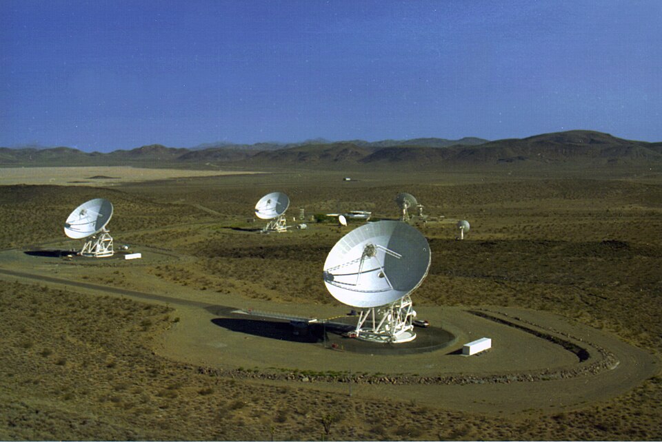
Photograph of Goldstone Deep Space Communications Complex
Photograph by NASA, Public domain. Via Wikimedia Commons.

Pioneer Deep Space Station

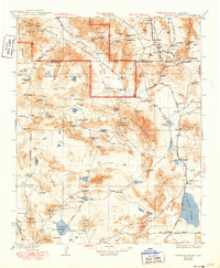
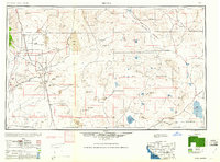
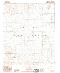
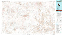
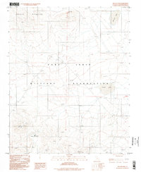
A National Historic Landmark. Built in 1958. Listed on the National Register of Historic Places in 1985. 11 historic topographic surveys show this location, the earliest from 1933.

From the record

“The Goldstone Deep Space Communications Complex (GDSCC), commonly called the Goldstone Observatory, is a satellite ground station located in Fort Irwin in the U.S. state of California. Operated by NASA's Jet Propulsion Laboratory (JPL), its main purpose is to track and communicate with interplanetary space missions.”

Wikipedia article Goldstone Deep Space Communications Complex, CC BY-SA 4.0.

One of 98 National Register listings published here for San Bernardino County · listed in 1985 · category: Structure · built in 1958 · a National Historic Landmark.

Sources: the Wikipedia article · the case file at the National Archives · the National Register database, National Park Service
The listing

  • Address. Goldstone Deep Space Communications Complex, Fort Irwin, 92310
  • When was it listed? October 1985
  • Category. structure
  • Census division. Newberry Springs-Baker
  • When was it built? 1958
  • National Register reference number. 85002813 - the number the National Park Service assigned this property when it was listed, and the key its nomination file is catalogued under at the National Archives.

Then and now

1933 to 1993

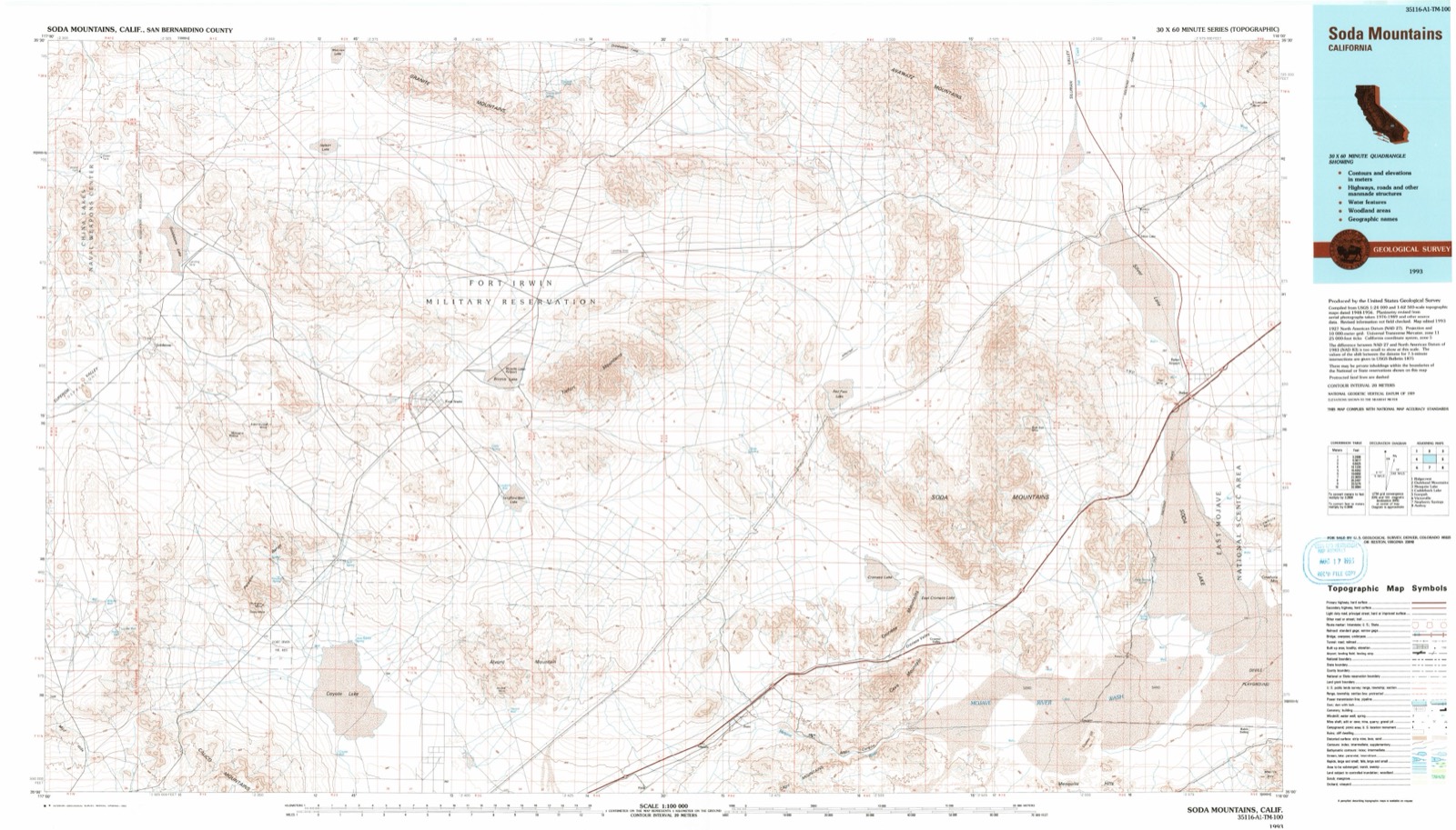
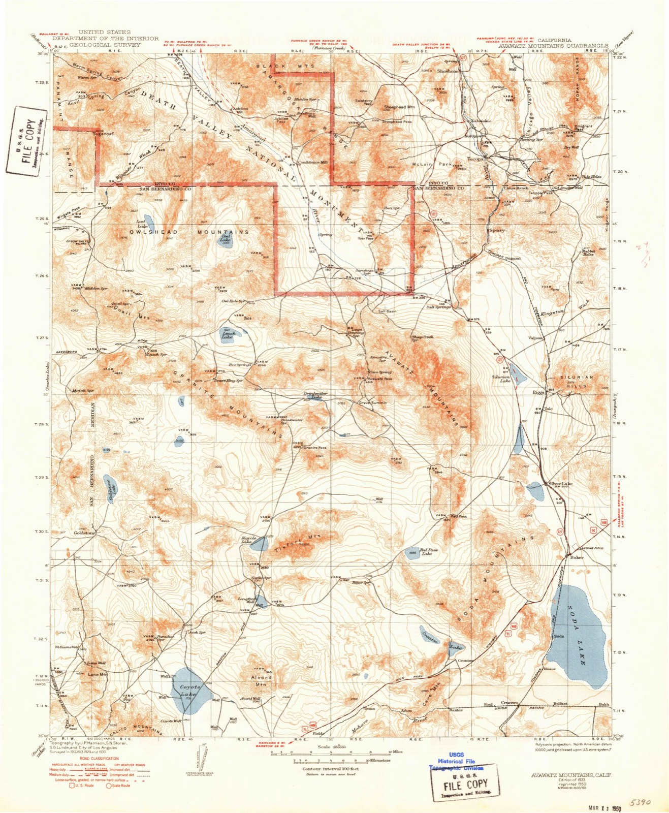
The ground this property stands on, surveyed 60 years apart. Drag the handle to wipe between them. Both sheets are United States Geological Survey originals; neither has been altered.

Topographic sheet covering Pioneer Deep Space Station, surveyed 1993
Topographic sheet covering Pioneer Deep Space Station, surveyed 1933

Maps showing this location

11 surveys

United States Geological Survey topographic sheets whose coverage includes this point. Matched by taking the middle of the area the National Park Service maps for this listing, then testing that coordinate against the published boundary of every sheet.

Sources for this property

National Archives recordThe nomination case file for reference 85002813 in Record Group 79.
Wikipedia articleCommunity-written account of this property, licensed CC BY-SA.
San Bernardino CountyAll 98 listed properties in this county.

Provenance

  • Listing record. National Park Service National Register of Historic Places, listed-properties dataset, current to 2026-05-22.
  • Map join. Address geocoded through the United States Census geocoder, then tested against the published boundary of every sheet in the USGS Historical Topographic Map Collection.
  • How this page is made. Listing fields come from federal records; map-sheet coverage is a labelled coordinate-to-boundary calculation, not a source-field claim.