 Block
Mack, Colorado
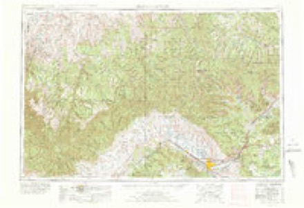
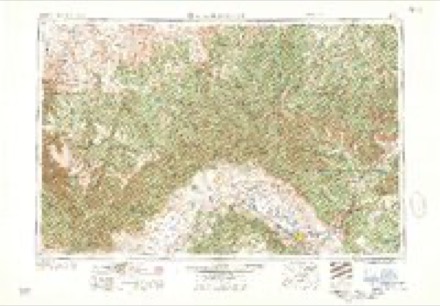
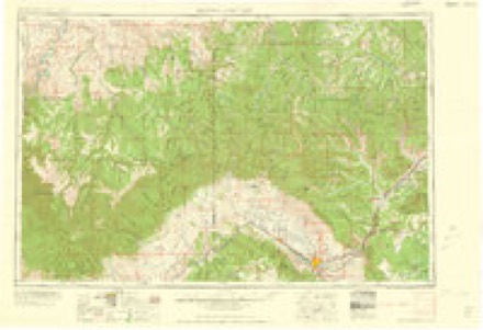
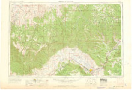
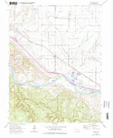
13 topographic sheets cover this place, the earliest surveyed in 1956 and the latest in 1981. It stands in the Fruita census division. It lies in ZIP code area 81525. The Survey maps it on the Mack quadrangle. It stands 4,521 feet above sea level.
Topographic sheets covering this place
8 surveys from 13 printed sheetsMatched by testing this settlement's coordinate against the published boundary of every sheet in the United States Geological Survey's historical collection. Each opens the scanned sheet at the Survey.
- 1956 USGS Grand Junction quadrangle1:250000, 2 printings
- 1959 USGS Grand Junction quadrangle1:250000
- 1960 USGS Grand Junction quadrangle1:250000, 2 printings
- 1962 USGS Grand Junction quadrangle1:250000
- 1962 USGS Mack quadrangle1:24000, 3 printings
- 1964 USGS Grand Junction quadrangle1:250000
- 1965 USGS Grand Junction quadrangle1:250000, 2 printings
- 1981 USGS Grand Junction quadrangle1:100000
Fires near this place
175 since 1992Regional context, not property-specific evidence. The federal wildfire occurrence database lists 175 fires within 5 miles of Mack between 1992 and 2020, burning about 4,400 acres in total. 36 started naturally. 1 was recorded as arson. Distance is straight-line from the map coordinates, so a fire counted here may appear on a neighbouring settlement's page as well.
| Reported cause | Fires |
|---|---|
| Missing data/not specified/undetermined | 84 |
| Natural | 36 |
| Smoking | 22 |
| Equipment and vehicle use | 10 |
| Railroad operations and maintenance | 8 |
| Recreation and ceremony | 7 |
| Debris and open burning | 6 |
| Arson/incendiarism | 1 |
| Misuse of fire by a minor | 1 |
The most recent of them, most recent first, with the day each was reported and the service that recorded it.
| Date | Cause | Size | Reported by | Name on the report |
|---|---|---|---|---|
| 5 September 2014 | Missing data/not specified/undetermined | under an acre | Lower Valley Fire Protection District | UNKNOWN |
| 30 September 2018 | Equipment and vehicle use | 12 acres | Lower Valley Fire Protection District | UNKNOWN |
| 3 September 2011 | Missing data/not specified/undetermined | 4.0 acres | Colorado State Forest Service-State Headquarters | LOMA |
| 27 September 2005 | Natural | under an acre | Northwest District, Grand Junction | 6AND50 RES |
| 2 September 2015 | Missing data/not specified/undetermined | under an acre | Lower Valley Fire Protection District | UNKNOWN |
| 17 September 2015 | Natural | under an acre | Lower Valley Fire Protection District | UNKNOWN |
| 16 September 2019 | Equipment and vehicle use | under an acre | Northwest District, Grand Junction | SALT CREEK |
| 15 September 2016 | Natural | under an acre | Lower Valley Fire Protection District | UNKNOWN |
Settlements close enough to share some of these fires:
Mines and quarries near this place
10 of 13 shownRegional context, not property-specific evidence. The federal mineral resources record lists 13 workings within 5 miles of Mack: 8 unknowns, 3 producers, 2 occurrences. 3 still produce. What was taken out: Sand and Gravel, Construction, Fire Clay (Refractory), Clay, Stone, Dimension. Distance is straight-line from the map coordinates, so a quarry counted here may appear on a neighbouring settlement's page as well.
| Where | Site | Commodity | Status | Recorded |
|---|---|---|---|---|
| Loma Rock Quarry | Stone, Dimension | Producer | ||
| Unk | Clay | Unknown | ||
| Unknown | Fire Clay (Refractory) | Occurrence | ||
| Unknown | Fire Clay (Refractory) | Occurrence | ||
| Unnamed Mine | Clay | Unknown | ||
| Gravel Pit | Sand and Gravel, Construction | Unknown | ||
| Gravel Pit | Sand and Gravel, Construction | Unknown | ||
| Gravel Pit | Sand and Gravel, Construction | Unknown | ||
| Loma Rock Quarry | Sand and Gravel, Construction | Unknown | ||
| Unknown | Sand and Gravel, Construction | Producer | Gravel |
Storms near this place
48 since 1997Regional context, not property-specific evidence. The National Weather Service names Mack in 48 storm reports between 1997 and 2025: 24 thunderstorm wind, 6 heavy rain, 5 flash flood, 4 tornado. No death or injury is recorded in these reports. Each account below is quoted exactly as the forecast office filed it, from the NOAA Storm Events Database, and each date opens the federal record of that event.
| When | Event | Place named | Harm | What the report says |
|---|---|---|---|---|
| May 2008 | Flood | Mack | $15,000 | Rivers, small streams, and creeks across much of Mesa County exceeded bankfull and caused minor flooding. Emergency Manager and weather spotter reports indicated low land flooding along portions of the Colorado River from DeBeque Canyon to the Utah State Line. The Interstate 70 median east of the Loma exit was flooded. Water lapped at the side of the westbound Interstate 70 bridge near the Loma Exit causing officials to close one lane in each direction for a period. Water covered a section of the westbound interstate lanes in DeBeque Canyon and near the Highway 65 cutoff. The Colorado River was out of its banks on both sides of the river in the Highway 340 Bridge area and encroached into an adjacent State Park campground. Portions of the Colorado Riverfront Trail in Grand Junction were closed due to high water. The Gunnison River was out of its banks and covered an access road to a construction company in the vicinity of the Department of Energy. |
| September 2003 | Hail | Mack | $10,000 | no account filed |
| September 2014 | Flash Flood | Mack | $5,000 | Heavy rainfall filled a reservoir and resulted in the overtopping of a privately owned dam which resulted in flash flood waters up to 5 feet deep below the dam. The top two to three feet of the dam was eroded by the water flow. |
| June 2011 | Thunderstorm Wind | Mack | $4,000 | Severe thunderstorm outflow winds were reported to have moved a pole barn about 5 feet off of it's foundation at a residence located 5 miles northwest of Mack. |
| June 2017 | Thunderstorm Wind | Mack | $3,000 | Several tents and outbuildings from a recent concert event were damaged at the Jam Ranch in Loma. |
| June 2008 | Flood | Mack | $3,000 | One lane of westbound Interstate 70 near the Loma exit was closed for a period of time due to high water. All islands in the Colorado River were underwater. Water was within 6 to 12 inches of the bottom of four bridges that cross the river. Flows on the river peaked on June 4 and 5. |
| August 2018 | Thunderstorm Wind | Mack | $2,000 | Estimated peak wind gust of 70 MPH. Winds produced damage to a large amount of roof shingles. |
| September 2025 | Thunderstorm Wind | Mack | - | The CoCoRaHS reported at Mack 5NW called in a report of a 61 mph wind gust at her location in association with a passing thunderstorm. No reports of injuries, damages, or fatalities were received in association with this event. |
| May 2025 | Thunderstorm Wind | Mack | - | The Colorado Department of Transportation mesonet station 070w001 Utah State Line recorded a wind gust to 62 mph at 5:06 PM MDT, associated with a thunderstorm moving off the higher terrain to the south over the Uncompahgre Plateau. No reports of damages, injuries, or fatalities were received. |
| September 2025 | Hail | Mack | - | At 908 MST on September 12, a CoCoRaHS observer reported 0.75 inch diameter hail 5 miles NW of Mack, Colorado. |
| August 2024 | Thunderstorm Wind | Mack | - | A thunderstorm that developed on the higher terrain of the western edge of the Uncompahgre Plateau moved over the Colorado Department of Transportation's Mesonet site 070w001 Utah State Line. This mesonet site recorded a wind gust to 61 mph with this storm, likely due to dry surface layers enhancing outflow winds. No reports of damages or injuries were received. |
| June 2024 | Thunderstorm Wind | Mack | - | A strong to severe thunderstorm moved through the far western portion of Mesa County in Colorado. A trained spotter measured a gust to 65 mph at her home, 5 miles northwest of Mack. In addition, an automated Colorado Department of Transportation mesonet site recorded a gust to 57 mph near the Utah state line on I-70. This is roughly 10 miles southwest of the spotter's location. No reports of wind damage were received. |
| May 2020 | Thunderstorm Wind | Mack | - | A trained weather spotter's automated instrument recorded a peak wind gust of 62 MPH from a severe thunderstorm. |
| May 2020 | Thunderstorm Wind | Mack | - | An automated weather station recorded a peak wind gust of 63 MPH from a severe thunderstorm. |
| June 2020 | Thunderstorm Wind | Mack | - | A trained spotter 5 miles northwest of Mack measured a peak wind gust of 69 mph. |
| August 2018 | Hail | Mack | - | Quarter-sized hail was observed at Highline Lake State Park. |
| August 2018 | Thunderstorm Wind | Mack | - | A trained weather spotter's anemometer recorded a peak wind gust of 69 MPH. The strong winds snapped two large cottonwood trees on their property. One was 100 feet tall and the other 70 feet tall. Both were approximately 7 feet in diameter. |
| August 2018 | Thunderstorm Wind | Mack | - | Wind gusts were estimated near 60 MPH at Highline Lake State Park with numerous tree limbs downed. |
| August 2018 | Thunderstorm Wind | Mack | - | A trained weather spotter's anemometer recorded a peak wind gust of 62 MPH. The strong winds brought down several large tree limbs. |
| October 2018 | Flash Flood | Mack | - | Thunderstorms between 8:30 and 9:00 AM MST produced heavy rainfall which felll on saturated soils and resulted in fast moving water that ran down drainages in areas west of Mack. The county emergency manager reported flood water 8 to 10 feet deep that flowed down West Salt Wash. |
| September 2017 | Thunderstorm Wind | Mack | - | A peak thunderstorm wind gust of 60 mph was measured by a trained spotter near Mack. |
| July 2016 | Heavy Rain | Mack | - | Showers and thunderstorms produced very heavy rainfall rates and resulted in a few inches of water that ran down a driveway. |
| June 2015 | Debris Flow | Mack | - | Heavy rainfall in the Mack area caused the West Salt Creek Wash to reach near or over bankfull conditions, flooding several pastures along the bank. |
| September 2014 | Flash Flood | Mack | - | Flash flooding was observed along the washes in western Mesa County including Salt Wash. |
| July 2014 | Flash Flood | Mack | - | Heavy rainfall along the West Salt Creek basin produced flash flooding along West Salt Creek. Flood waters extended about 60 feet beyond outside of the creek bank at a location approximately 5 miles northwest of Mack. |
| April 2012 | Thunderstorm Wind | Mack | - | A severe thunderstorm with severe outflow gusts occurred near Mack. |
| July 2012 | Thunderstorm Wind | Mack | - | Thunderstorm outflow winds gusted to 68 mph from the southwest producing areas of blowing dust and tree damage. |
| July 2011 | Thunderstorm Wind | Mack | - | Thunderstorm outflow gust up to 66 mph were measured 5 miles Northwest of Mack with lightweight objects in yard blown away. |
| July 2010 | Thunderstorm Wind | Mack | - | Thunderstorm outflow wind gusts to 58 mph were measured at a location about 5 miles north of Mack. |
| June 2009 | Thunderstorm Wind | Mack | - | Strong thunderstorm outflow winds blew down and tossed unsecured property. |
| June 2009 | Thunderstorm Wind | Mack | - | Strong thunderstorm outflow winds blew down a number of items at a volunteer spotter's residence. |
| January 2009 | Thunderstorm Wind | Mack | - | Unsecured items were blown over. |
| September 2007 | Heavy Rain | Mack | - | Runoff from heavy rain producing thunderstorms caused minor flooding as water flowed out of the banks of Salt Wash northwest of Mack. |
| September 2007 | Heavy Rain | Mack | - | Runoff from heavy rain caused West Salt Wash to flow out of its banks and cause minor flooding. |
| August 2007 | Heavy Rain | Mack | - | Rainfall of 1.16 inches occurred and caused Salt Wash to fill with water about 4 feet deep. |
| October 2006 | Flash Flood | Mack | - | Persistent heavy rain caused West Salt Wash to run full. The wash flooded outside its channel 5 miles northwest of Mack and covered pastureland. |
| December 2008 | Thunderstorm Wind | Mack | - | no account filed |
| September 2006 | Heavy Rain | Mack | - | no account filed |
| August 2005 | Tornado (F0) | Mack | - | no account filed |
| October 2004 | Tornado (F0) | Mack | - | no account filed |
| August 2004 | Heavy Rain | Mack | - | no account filed |
| June 2002 | Tornado (F0) | Mack | - | no account filed |
| July 2001 | Thunderstorm Wind | Mack | - | no account filed |
| April 2000 | Tornado (F0) | Mack | - | no account filed |
| April 2000 | Funnel Cloud | Mack | - | no account filed |
| June 2000 | Thunderstorm Wind | Mack | - | no account filed |
| June 1999 | Wildfire | Mack | - | no account filed |
| September 1997 | Funnel Cloud | Mack | - | no account filed |
Nearest settlements
The eight closest, with where each one stands in the county. Distances are straight-line, computed from the Geographic Names Information System coordinates.
Elsewhere
Matched on this settlement's Geographic Names Information System number rather than its name, so it cannot be a different place of the same name in another state.
| Wikipedia article on Mack | An encyclopaedic summary. Its text is share-alike, so it is linked here rather than copied. |
| Wikidata item Q6724166 | The structured record the population and elevation above come from. Public domain (CC0). |
Provenance
This settlement is recorded in the Geographic Names Information System as feature 174372. The sheet list is computed by point-in-boundary test against the United States Geological Survey's historical topographic inventory. Both are works of the United States government and carry no copyright under 17 U.S.C. 105.
Wildfire. Short, Karen C. 2022. Spatial wildfire occurrence data for the United States, 1992-2020 [FPA_FOD_20221014]. 6th Edition. Fort Collins, CO: Forest Service Research Data Archive. https://doi.org/10.2737/RDS-2013-0009.6 Collected with United States Government funding and usable without additional permissions or fees.
Mines and quarries. USGS Mineral Resources Data System (MRDS) https://mrdata.usgs.gov/mrds/ A work of the United States government, no copyright under 17 U.S.C. 105.
Storms. NOAA National Centers for Environmental Information, Storm Events Database https://www.ncei.noaa.gov/stormevents/ A work of the United States government, no copyright under 17 U.S.C. 105. Narratives are quoted verbatim from the National Weather Service report and are not edited or summarised.