 Block
Rio Blanco, Colorado
18 topographic sheets cover this place, the earliest surveyed in 1906 and the latest in 1981. It stands in the Meeker census division. It lies in ZIP code area 81650. The Survey maps it on the Rio Blanco quadrangle.
Topographic sheets covering this place
9 surveys from 18 printed sheetsMatched by testing this settlement's coordinate against the published boundary of every sheet in the United States Geological Survey's historical collection. Each opens the scanned sheet at the Survey.
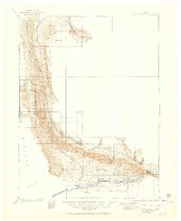
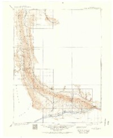
- 1906 USGS Grand Hogback quadrangle1:125000
- 1910 USGS Grand Hogback quadrangle1:125000, 3 printings
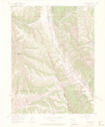
- 1952 USGS Rio Blanco quadrangle1:24000, 5 printings
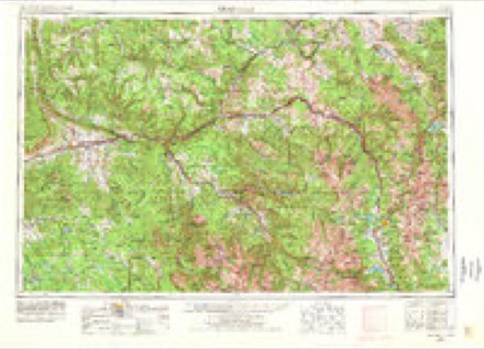
- 1957 USGS Leadville quadrangle1:250000, 2 printings
- 1959 USGS Leadville quadrangle1:250000
- 1960 USGS Leadville quadrangle1:250000, 2 printings
- 1962 USGS Leadville quadrangle1:250000
- 1964 USGS Leadville quadrangle1:250000
- 1981 USGS Glenwood Springs quadrangle1:100000, 2 printings
Fires near this place
9 since 1992Regional context, not property-specific evidence. The federal wildfire occurrence database lists 9 fires within 5 miles of Rio Blanco between 1992 and 2018, burning about 1,179 acres in total. 4 started naturally. None was recorded as arson. Distance is straight-line from the map coordinates, so a fire counted here may appear on a neighbouring settlement's page as well.
| Reported cause | Fires |
|---|---|
| Natural | 4 |
| Missing data/not specified/undetermined | 3 |
| Equipment and vehicle use | 1 |
| Debris and open burning | 1 |
The most recent of them, most recent first, with the day each was reported and the service that recorded it.
| Date | Cause | Size | Reported by | Name on the report |
|---|---|---|---|---|
| 18 September 2018 | Missing data/not specified/undetermined | under an acre | Northwest District, Craig | BEAR CREEK |
| 11 August 1992 | Natural | under an acre | Northwest District, Grand Junction | OLD TIMBER |
| 8 July 2017 | Natural | 43 acres | Northwest District, Craig | DEER GULCH |
| 8 July 1993 | Natural | under an acre | Northwest District, Grand Junction | W HARRIS |
| 30 July 1992 | Natural | 1.0 acres | Northwest District, Grand Junction | HARRIS GUL |
| 25 July 1994 | Missing data/not specified/undetermined | 1.0 acres | Northwest District, Grand Junction | GOVERNMENT |
| 5 June 2005 | Missing data/not specified/undetermined | under an acre | Colorado State Forest Service-State Headquarters | not named |
| 3 May 1998 | Debris and open burning | 150 acres | Northwest District, Craig | SCHUTTE |
Settlements close enough to share some of these fires:
Mines and quarries near this place
3 within 5 milesRegional context, not property-specific evidence. The federal mineral resources record lists 3 workings within 5 miles of Rio Blanco: 1 occurrence, 1 past producer, 1 unknown. None of them still produces. What was taken out: Sand and Gravel, Construction, Uranium, Vanadium. Distance is straight-line from the map coordinates, so a quarry counted here may appear on a neighbouring settlement's page as well.
| Where | Site | Commodity | Status | Recorded |
|---|---|---|---|---|
| Rio Blanco | Uranium, Vanadium | Past Producer | ||
| Unknown | Sand and Gravel, Construction | Occurrence | ||
| Unknown Gravel Pit | Sand and Gravel, Construction | Unknown |
Storms near this place
21 since 1996Regional context, not property-specific evidence. The National Weather Service names Rio Blanco in 21 storm reports between 1996 and 2025: 10 flash flood, 7 debris flow, 1 thunderstorm wind, 1 flood. The reports record 5 injuries. Each account below is quoted exactly as the forecast office filed it, from the NOAA Storm Events Database, and each date opens the federal record of that event.
| When | Event | Place named | Harm | What the report says |
|---|---|---|---|---|
| July 2005 | Flash Flood | Rio Blanco | 5 hurt, $80,000 | no account filed |
| July 2005 | Flash Flood | Rio Blanco | $20,000 | no account filed |
| July 1996 | Flash Flood | Rio Blanco | $12,000 | no account filed |
| September 2025 | Debris Flow | Rio Blanco | $5,000 | Law Enforcement reported a mudslide at Mile Marker 1.5 on Rio Blanco County Route 5, closing the road and requiring clearing. The debris was cleared within half an hour. This area is within the Lee Burn Scar. |
| August 2009 | Flash Flood | Rio Blanco | $5,000 | Flash flood waters flowed across Rio Blanco County Road 5 in several places with water over a foot deep in some spots. A large mudslide came down across the road near mile marker 18. It took two days to move mud and debris off and away from the road and to make repairs. Additionally, major soil erosion was reported on some privately owned ranch and farmland in the basin. |
| July 2022 | Debris Flow | Rio Blanco | $1,500 | A mudslide occurred along County Road 5 near mile marker 12 near Piceance Creek as a result of heavy rain from thunderstorms. |
| August 2025 | Debris Flow | Rio Blanco | - | This incident was reported to the NWS Grand Junction office by the NWS Incident Meteorologist assigned to the Lee Wildfire. Debris flowed across County Road 5 from due to heavy rain on the adjacent Lee burn scar. A tractor trailer attempted to drive through the debris flow and became stuck. The truck was eventually unstuck and the road was cleared. No damages or injuries or fatalities were reported. |
| August 2025 | Debris Flow | Rio Blanco | - | The NWS Incident Meteorologist assigned to the Lee Fire reported this event to NWS Grand Junction. Mud and debris were confirmed to be flowing across Rio Blanco County Road 5 at mile marker 6 and mile marker 12, making the road impassable. As a result, County Road 5 was closed from miles marker 12 to the intersection with Highway 13 for roughly half an hour. |
| August 2025 | Flash Flood | Rio Blanco | - | This incident was reported to NWS Grand Junction by the NWS Incident Meteorologist deployed to the Lee Wildfire. Water was reported as flowing over Highway 13 adjacent to the Lee Burn Scar, near the incident on County Road 5, and south of the town of Meeker. All of this water drains into the White River, and the gage on the White River below Meeker spiked from roughly 110 cfs to 1660 cfs, with a rise in water height of 3 feet. |
| August 2025 | Debris Flow | Rio Blanco | - | At approximately 1:18 PM MDT, a report reached NWS Grand Junction that heavy rain over the Lee Burn Scar had triggered a debris flow over Rio Blanco County Road 5 in the same area that had run on August 24th. This time, no vehicles were trapped and no other damage occurred, nor were any injuries or fatalities reported. |
| May 2020 | Hail | Rio Blanco | - | A severe thunderstorm produced large hail estimated to be the size of quarters southwest of Meeker. |
| August 2017 | Flash Flood | Rio Blanco | - | Heavy rainfall, with radar estimates of nearly two inches of total rain within about an hour on the Roan Plateau, produced flash flooding several feet deep which came down drainages and ran across farm fields before ending up in Piceance Creek. |
| August 2017 | Debris Flow | Rio Blanco | - | A mudslide occurred on County Road 5 near the intersection of Colorado Highway 13 as a result of heavy rains. |
| August 2016 | Debris Flow | Rio Blanco | - | A mudslide had occurred along County Road 5 after heavy rain fell in that area. |
| July 2011 | Flash Flood | Rio Blanco | - | A flash flood over 6 inches deep flowed across the Piceance Creek Road, aka County Road 5, and left several inches of mud on the road. |
| June 2005 | Heavy Rain | Rio Blanco | - | no account filed |
| September 2002 | Flood | Rio Blanco | - | no account filed |
| September 2001 | Thunderstorm Wind | Rio Blanco | - | no account filed |
| August 2001 | Flash Flood | Rio Blanco | - | no account filed |
| August 1999 | Flash Flood | Rio Blanco | - | no account filed |
| August 1997 | Flash Flood | Rio Blanco | - | no account filed |
Nearest settlements
The eight closest, with where each one stands in the county. Distances are straight-line, computed from the Geographic Names Information System coordinates.
| Map | Place | Distance | Sheets |
|---|---|---|---|
| Meeker | 20.8 miles | 16 | |
| Buford | 24.5 miles | 17 | |
| White River City | 28.5 miles | 11 | |
| Thornburgh | 35.0 miles | 17 | |
| Angora | 45.1 miles | 12 | |
| Rangely | 51.5 miles | 14 |
Provenance
This settlement is recorded in the Geographic Names Information System as feature 204656. The sheet list is computed by point-in-boundary test against the United States Geological Survey's historical topographic inventory. Both are works of the United States government and carry no copyright under 17 U.S.C. 105.
Wildfire. Short, Karen C. 2022. Spatial wildfire occurrence data for the United States, 1992-2020 [FPA_FOD_20221014]. 6th Edition. Fort Collins, CO: Forest Service Research Data Archive. https://doi.org/10.2737/RDS-2013-0009.6 Collected with United States Government funding and usable without additional permissions or fees.
Mines and quarries. USGS Mineral Resources Data System (MRDS) https://mrdata.usgs.gov/mrds/ A work of the United States government, no copyright under 17 U.S.C. 105.
Storms. NOAA National Centers for Environmental Information, Storm Events Database https://www.ncei.noaa.gov/stormevents/ A work of the United States government, no copyright under 17 U.S.C. 105. Narratives are quoted verbatim from the National Weather Service report and are not edited or summarised.