 Block
Snowmass, Colorado
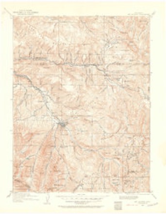
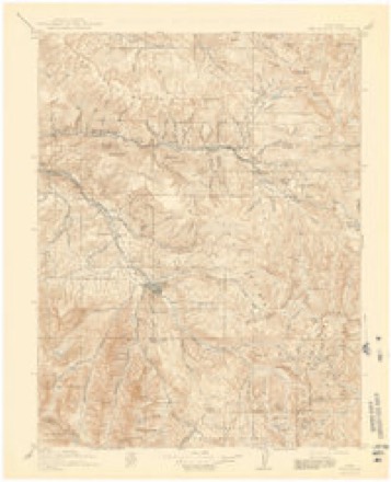
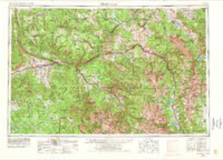
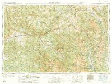
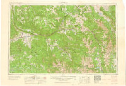
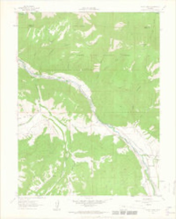
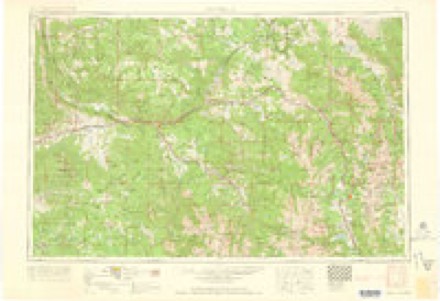
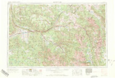
19 topographic sheets cover this place, the earliest surveyed in 1909 and the latest in 1983. It stands in the Snowmass Village census division. It lies in ZIP code area 81654. It stands on Snowmass Creek. The Survey maps it on the Woody Creek quadrangle. It stands 6,847 feet above sea level.
Topographic sheets covering this place
9 surveys from 19 printed sheetsMatched by testing this settlement's coordinate against the published boundary of every sheet in the United States Geological Survey's historical collection. Each opens the scanned sheet at the Survey.
- 1909 USGS Mount Jackson quadrangle1:125000, 2 printings
- 1911 USGS Mount Jackson quadrangle1:125000, 3 printings
- 1957 USGS Leadville quadrangle1:250000, 2 printings
- 1959 USGS Leadville quadrangle1:250000
- 1960 USGS Leadville quadrangle1:250000, 2 printings
- 1961 USGS Woody Creek quadrangle1:24000, 5 printings
- 1962 USGS Leadville quadrangle1:250000
- 1964 USGS Leadville quadrangle1:250000
- 1983 USGS Leadville quadrangle1:100000, 2 printings
Fires near this place
54 since 1992Regional context, not property-specific evidence. The federal wildfire occurrence database lists 54 fires within 5 miles of Snowmass between 1992 and 2020, burning about 3,230 acres in total. 32 started naturally. 1 was recorded as arson. Distance is straight-line from the map coordinates, so a fire counted here may appear on a neighbouring settlement's page as well.
| Reported cause | Fires |
|---|---|
| Natural | 32 |
| Missing data/not specified/undetermined | 16 |
| Power generation/transmission/distribution | 2 |
| Debris and open burning | 2 |
| Arson/incendiarism | 1 |
| Recreation and ceremony | 1 |
The most recent of them, most recent first, with the day each was reported and the service that recorded it.
| Date | Cause | Size | Reported by | Name on the report |
|---|---|---|---|---|
| 5 September 2008 | Missing data/not specified/undetermined | 4.0 acres | Northwest District, Grand Junction | EAGLE CO 11 |
| 3 September 1995 | Natural | under an acre | Northwest District, Grand Junction | ARBNEY HIL |
| 27 September 2018 | Power generation/transmission/distribution | under an acre | Basalt & Rural Fire Protection District | UNKNOWN |
| 26 September 2008 | Natural | under an acre | White River National Forest | TAYLOR RIDGE |
| 19 September 2018 | Missing data/not specified/undetermined | under an acre | Basalt & Rural Fire Protection District | UNKNOWN |
| 17 September 2018 | Missing data/not specified/undetermined | under an acre | Basalt & Rural Fire Protection District | UNKNOWN |
| 1 September 2011 | Natural | under an acre | Northwest District, Grand Junction | WOODY CREEK |
| 5 August 2009 | Natural | under an acre | Northwest District, Grand Junction | SNOWMASS CANYON |
Settlements close enough to share some of these fires:
Mines and quarries near this place
10 within 5 milesRegional context, not property-specific evidence. The federal mineral resources record lists 10 workings within 5 miles of Snowmass: 6 past producers, 4 occurrences. None of them still produces. What was taken out: Manganese, Stone, Crushed/Broken, Sand and Gravel, Construction, Pumice. Distance is straight-line from the map coordinates, so a quarry counted here may appear on a neighbouring settlement's page as well.
| Where | Site | Commodity | Status | Recorded |
|---|---|---|---|---|
| Homeward Bound | Stone, Crushed/Broken | Past Producer | ||
| Unknown | Sand and Gravel, Construction | Occurrence | Sand and Gravel | |
| Unknown | Pumice | Past Producer | ||
| Big Buck | Manganese | Past Producer | ||
| Big Buck Mine | Manganese | Occurrence | Vein | |
| Bionaz Group | Manganese | Past Producer | ||
| Bionaz Group | Manganese | Past Producer | Vein | |
| Panco Manganese Deposit | Manganese | Occurrence | Braunite | |
| Panco Manganese Deposit | Manganese | Occurrence | ||
| Panco Manganese Deposits | Manganese | Past Producer |
Storms near this place
22 since 1997Regional context, not property-specific evidence. The National Weather Service names Snowmass in 22 storm reports between 1997 and 2025: 8 flash flood, 5 thunderstorm wind, 3 flood, 2 hail. The reports record 1 death. Each account below is quoted exactly as the forecast office filed it, from the NOAA Storm Events Database, and each date opens the federal record of that event.
| When | Event | Place named | Harm | What the report says |
|---|---|---|---|---|
| May 2023 | Flood | Snowmass | 1 killed | The Roaring Fork River ran high and fast as a result of accelerated snowmelt. Rescuers were unable to resuscitate a person they recovered from the river near the Lazy Glen subdivision after strong, runoff-fueled currents carried the victim downstream roughly 1 1/2 to 2 miles. It did not appear the person had been in a water vessel like a boat or raft. The incident had the makings of someone falling into the river from its banks, but that wasnt a certainty. Age and gender of victim is unknown. |
| July 2006 | Flash Flood | Snowmass | $40,000 | no account filed |
| June 2011 | Flood | Snowmass | $10,000 | Area creeks across Pitkin County responded to rapid snowmelt and ran at elevated levels through much of June. Areas adjacent to the Crystal river were impacted through the middle part of the month when flood advisories were in effect for near bankfull conditions. The river also briefly spiked above flood stage on June 6th near Redstone. Low land flooding was reported along the Crystal river with water and debris reaching the bottom of several bridges between Restone and Carbondale. |
| September 1997 | Flash Flood | Snowmass | $3,000 | no account filed |
| August 2017 | Heavy Rain | Snowmass | $2,000 | A series of strong thunderstorms produced torrential rainfall in the Elk Run subdivision which resulted in water that flowed into several homes. A home on Red Tail Court took the brunt of water flowing off the hillside and had two feet of water in the lower level. Some of the streets in Elk Run were coated with as much as 6 inches of mud. Radar estimated 1 to 1.5 inches of rain fell throughout the day. |
| May 2023 | Flood | Snowmass | $1,000 | Warm temperatures increased snowmelt and caused flooding on the lower Prince Creek trails, which ran along Prince Creek. High water submerged bridges and led to damage on the trails. |
| July 2022 | Debris Flow | Snowmass | $500 | A debris flow several inches thick of mud and rocks occurred on portions of the Rio Grande Trail in Pitkin County as a result of heavy rain from thunderstorms. |
| May 2025 | Thunderstorm Wind | Snowmass | - | The Colorado Department of Transportation mesonet site 082w023 Basalt-Holland Hills recorded a wind gust to 75 mph at 1:58 PM MDT. This gust was associated with ongoing afternoon thunderstorms over the adjacent higher terrain. No reports of injuries, damages, or fatalities were received. |
| August 2025 | Debris Flow | Snowmass | - | As of approximately 10:10 AM MDT, two rock slides were reported to have occurred on Highway 82 in Snowmass Canyon. No road closures were reported, and no damages occurred. Road did have to be cleared. No injuries or fatalities were reported. |
| February 2022 | Flash Flood | Snowmass | - | Law Enforcement in Pitkin County reported an Ice Jam that was breaking up along the Roaring Fork River with large debris and chunks of ice flow downstream. |
| January 2022 | Flash Flood | Snowmass | - | Emergency Manager in Pitkin County reported an Ice Jam that was breaking up along the Roaring Fork River with large debris and chunks of ice flow downstream. |
| March 2022 | Flash Flood | Snowmass | - | The Roaring Fork Conservancy in Pitkin County reported an Ice Jam that was breaking up along the Roaring Fork River with large debris and chunks of ice flow downstream. |
| December 2021 | Flash Flood | Snowmass | - | Emergency Manager in Pitkin County reported an Ice Jam that was breaking up along the Roaring Fork River with large debris and chunks of ice flow downstream. |
| June 2020 | Thunderstorm Wind | Snowmass | - | Wind gusts estimated to be in the 60 to 65 mph range knocked over a large tree which blocked traffic in both directions on Emma Road near Mile Marker 3 on Colorado Highway 82. |
| January 2019 | Flash Flood | Snowmass | - | Emergency Manager in Pitkin County reported an Ice Jam that was breaking up along the Roaring Fork River with large debris and chunks of ice flow downstream. River gauges along the Roaring Fork River showed sudden rises from less than 1 foot to 1.5 feet and CFS increases from 7.33 CFS to near 45 CFS around midday on January 3rd and again on January 4th. |
| July 2019 | Flash Flood | Snowmass | - | Thunderstorms produced heavy rain south of Carbondale which resulted in some minor flash flooding along the Prince Creek Trail System. Radar estimated rainfall rates of 0.25 to 0.50 inches per hour. |
| July 2011 | Heavy Rain | Snowmass | - | Ranfall of 0.70 of an inch fell within 60 minutes and resulted in minor flooding. |
| May 2006 | Thunderstorm Wind | Snowmass | - | no account filed |
| May 2006 | Thunderstorm Wind | Snowmass | - | no account filed |
| May 2006 | Thunderstorm Wind | Snowmass | - | no account filed |
| July 2006 | Hail | Snowmass | - | no account filed |
| August 2000 | Hail | Snowmass | - | no account filed |
Nearest settlements
The eight closest, with where each one stands in the county. Distances are straight-line, computed from the Geographic Names Information System coordinates.
| Map | Place | Distance | Sheets |
|---|---|---|---|
| Wingo | 1.6 miles | 14 | |
| Emma | 4.6 miles | 14 | |
| Woody Creek | 6.8 miles | 19 | |
| Snowmass Village | 8.6 miles | 25 | |
| Aspen | 13.2 miles | 26 | |
| Lenado | 13.4 miles | 26 | |
| Meredith | 13.7 miles | 18 | |
| Thomasville | 15.2 miles | 18 |
Elsewhere
Matched on this settlement's Geographic Names Information System number rather than its name, so it cannot be a different place of the same name in another state.
| Wikipedia article on Snowmass | An encyclopaedic summary. Its text is share-alike, so it is linked here rather than copied. |
| Wikidata item Q3475865 | The structured record the population and elevation above come from. Public domain (CC0). |
Provenance
This settlement is recorded in the Geographic Names Information System as feature 179690. The sheet list is computed by point-in-boundary test against the United States Geological Survey's historical topographic inventory. Both are works of the United States government and carry no copyright under 17 U.S.C. 105.
Wildfire. Short, Karen C. 2022. Spatial wildfire occurrence data for the United States, 1992-2020 [FPA_FOD_20221014]. 6th Edition. Fort Collins, CO: Forest Service Research Data Archive. https://doi.org/10.2737/RDS-2013-0009.6 Collected with United States Government funding and usable without additional permissions or fees.
Mines and quarries. USGS Mineral Resources Data System (MRDS) https://mrdata.usgs.gov/mrds/ A work of the United States government, no copyright under 17 U.S.C. 105.
Storms. NOAA National Centers for Environmental Information, Storm Events Database https://www.ncei.noaa.gov/stormevents/ A work of the United States government, no copyright under 17 U.S.C. 105. Narratives are quoted verbatim from the National Weather Service report and are not edited or summarised.