 Block
Brookfield, Connecticut
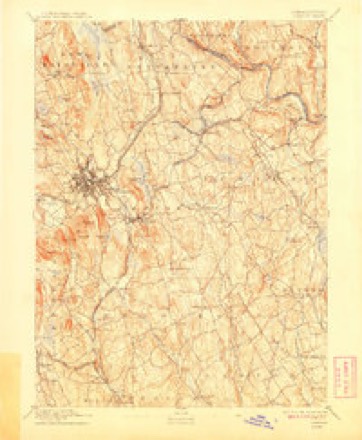
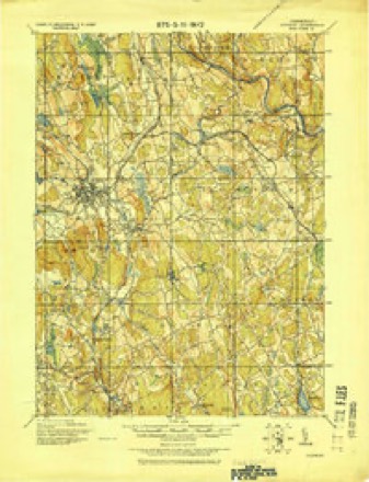
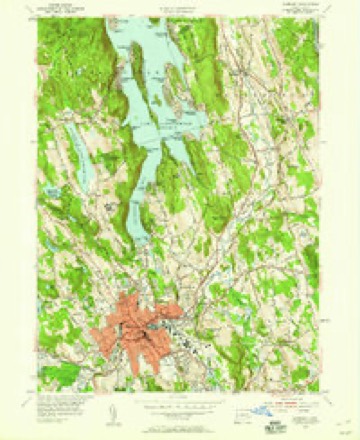
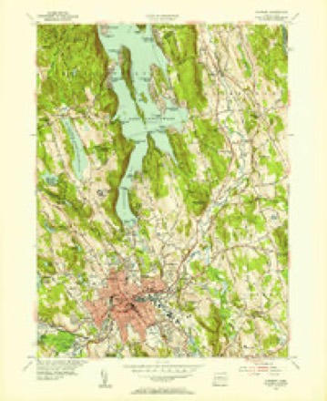
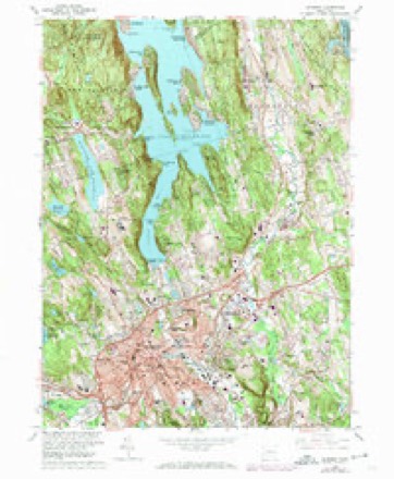
31 topographic sheets cover this place, the earliest surveyed in 1892 and the latest in 1986. It stands in Brookfield town. It lies in ZIP code area 06804. It stands on Limekiln Brook. The Survey maps it on the Danbury quadrangle.
Topographic sheets covering this place
11 surveys from 31 printed sheetsMatched by testing this settlement's coordinate against the published boundary of every sheet in the United States Geological Survey's historical collection. Each opens the scanned sheet at the Survey.
- 1892 USGS Danbury quadrangle1:62500, 11 printings
- 1915 USGS Danbury quadrangle1:62500
- 1947 USGS Hartford quadrangle1:250000, 2 printings
- 1948 USGS Hartford quadrangle1:250000, 2 printings
- 1953 USGS Danbury quadrangle1:24000
- 1953 USGS Danbury quadrangle1:31680
- 1961 USGS Hartford quadrangle1:250000
- 1962 USGS Hartford quadrangle1:250000, 3 printings
- 1963 USGS Danbury quadrangle1:24000, 4 printings
- 1965 USGS Hartford quadrangle1:250000, 2 printings
- 1986 USGS Bridgeport quadrangle1:100000, 3 printings






In the county-history sources
5,986 words on this townshipHistory of Fairfield County, Connecticut : with Illustrations and Biographical Sketches of Its Prominent Men and Pioneers, published 1881 names this settlement in its chapter on Brookfield Town. These are the passages that mention it, exactly as the scans read.
Brookfield is no exception to this general rule. There were beginnings of days and dawnings of history concerning which we must consent to remain much in ignorance. Could we successfully interrogate the years of dimness and uncertainty reaching backward from the time when the first settlers of the town (settlers of the English stock) built here their homes and here began their endeavors for thrift and comfort, w^e should find much, it is easy to believe, which, by its novelty and other elements of interest, would well reward our investigation.
Passage source: History of Fairfield County, Connecticut : with Illustrations and Biographical Sketches of Its Prominent Men and Pioneers, published 1881.
Newbury (now Brookfield) was constituted of portions of three adjacent towns, - viz.. New Milford, Newtown, and Danbury, these portions meeting at a common centre near the present residence of Mr. Abel Sherman. A rock, now blasted away, lying within limits now inclosed in Mr. Sherman's dooryard, was recognized at the "bound-stone" between these different towns, and of course the different sections of the newly-constructed society.
Passage source: History of Fairfield County, Connecticut : with Illustrations and Biographical Sketches of Its Prominent Men and Pioneers, published 1881.
Exactly when this first settlement took place it is difficult now to determine, there being no authentic record, although, in an old historical sermon preached in Danbury at the beginning of the present century by "Thomas Robbins, Candidate for the Gospel Ministry," it is assei'ted that " the first settlement of Danbury was begun in the summer of 1684," and elsewhere the statement is made : " The western part of the town, called ' Miry Brook,' and the eastern part (which now comprises a part of the town of Brookfield), were settled within a few years after the Centre," the centre of Danbury being evidently referred to.
Passage source: History of Fairfield County, Connecticut : with Illustrations and Biographical Sketches of Its Prominent Men and Pioneers, published 1881.
Machine-read from a century-old scan, so expect the errors a machine makes: misspelled names, dropped words, stray characters.
Read the whole chapter on Brookfield Town - it names this place 11 more 11 times.
Fires near this place
50 since 1999Regional context, not property-specific evidence. The federal wildfire occurrence database lists 50 fires within 5 miles of Brookfield between 1999 and 2020, burning about 69 acres in total. None started naturally. 5 were recorded as arson. Distance is straight-line from the map coordinates, so a fire counted here may appear on a neighbouring settlement's page as well.
| Reported cause | Fires |
|---|---|
| Missing data/not specified/undetermined | 36 |
| Arson/incendiarism | 5 |
| Debris and open burning | 3 |
| Railroad operations and maintenance | 3 |
| Recreation and ceremony | 1 |
| Equipment and vehicle use | 1 |
| Fireworks | 1 |
The most recent of them, most recent first, with the day each was reported and the service that recorded it.
| Date | Cause | Size | Reported by | Name on the report |
|---|---|---|---|---|
| 5 September 2015 | Missing data/not specified/undetermined | 25 acres | Connecticut Division of Forestry | not named |
| 19 September 2012 | Missing data/not specified/undetermined | under an acre | Connecticut Division of Forestry | BRIDGEWATER |
| 12 September 2020 | Missing data/not specified/undetermined | under an acre | Connecticut Division of Forestry | TOWN LINE ROAD |
| 4 August 2020 | Missing data/not specified/undetermined | 1.0 acres | Connecticut Division of Forestry | 55 ROCKY HILL ROAD |
| 26 August 2020 | Arson/incendiarism | under an acre | Connecticut Division of Forestry | 22 SUNSET DRIVE |
| 6 July 2009 | Missing data/not specified/undetermined | under an acre | Connecticut Division of Forestry | not named |
| 22 July 2016 | Fireworks | 11 acres | Connecticut Division of Forestry | LOVERS LEAP FIRE |
| 16 July 1999 | Arson/incendiarism | under an acre | Connecticut Division of Forestry | not named |
Settlements close enough to share some of these fires:
Mines and quarries near this place
10 of 25 shownRegional context, not property-specific evidence. The federal mineral resources record lists 25 workings within 5 miles of Brookfield: 16 past producers, 6 producers, 1 unknown, 1 prospect. 6 still produce. What was taken out: Sand and Gravel, Construction, Limestone, General, Stone, Crushed/Broken, Sulfur, Zinc, Lead. Distance is straight-line from the map coordinates, so a quarry counted here may appear on a neighbouring settlement's page as well.
| Where | Site | Commodity | Status | Recorded |
|---|---|---|---|---|
| Brookfield Lead Mine | Sulfur, Zinc, Lead | Past Producer | Metamorphosed Sedimentary | |
| Brookfield Mine | Lead | Past Producer | ||
| Limestone Quarry | Limestone, Dimension | Past Producer | ||
| Roxbury Falls Kyanite Occurrence | Kyanite | Occurrence | Metamorphic | |
| Treadwell Prospect | Granite | Prospect | ||
| Calcite Marble Rock Quarry No. Fk-004 | Limestone, General | Producer | ||
| Connecticut Agstone Co. Quarries | Stone, Crushed/Broken | Past Producer | ||
| Dolomitic Marble Rock Quarries No. Fk-001 | Limestone, General | Past Producer | Unknown | |
| E. Paul Kovacs Crushed Rock Products Quarry | Stone, Crushed/Broken | Producer | 1963 | |
| Andrew Gereg Pit | Sand and Gravel, Construction | Past Producer |
Storms near this place
1 since 1997Regional context, not property-specific evidence. The National Weather Service names Brookfield in 1 storm report in 1997: 1 thunderstorm wind. No death or injury is recorded in these reports. Each account below is quoted exactly as the forecast office filed it, from the NOAA Storm Events Database, and each date opens the federal record of that event.
| When | Event | Place named | Harm | What the report says |
|---|---|---|---|---|
| July 1997 | Thunderstorm Wind | Brookfield | - | no account filed |
Nearest settlements
The eight closest, with where each one stands in the county. Distances are straight-line, computed from the Geographic Names Information System coordinates.
| Map | Place | Distance | Sheets |
|---|---|---|---|
| Brookfield Center | 1.6 miles | 31 | |
| Candlewood Orchards | 1.7 miles | 31 | |
| Candlewood Shores | 1.7 miles | 31 | |
| Hawthorne Terrace | 2.0 miles | 31 | |
| Candlewood Isle | 2.5 miles | 31 | |
| Lattins Landing | 2.5 miles | 31 | |
| Cedar Heights | 2.7 miles | 31 | |
| Obtuse Hill | 2.8 miles | 32 |
Provenance
This settlement is recorded in the Geographic Names Information System as feature 205748. The sheet list is computed by point-in-boundary test against the United States Geological Survey's historical topographic inventory. Both are works of the United States government and carry no copyright under 17 U.S.C. 105.
Wildfire. Short, Karen C. 2022. Spatial wildfire occurrence data for the United States, 1992-2020 [FPA_FOD_20221014]. 6th Edition. Fort Collins, CO: Forest Service Research Data Archive. https://doi.org/10.2737/RDS-2013-0009.6 Collected with United States Government funding and usable without additional permissions or fees.
Mines and quarries. USGS Mineral Resources Data System (MRDS) https://mrdata.usgs.gov/mrds/ A work of the United States government, no copyright under 17 U.S.C. 105.
Storms. NOAA National Centers for Environmental Information, Storm Events Database https://www.ncei.noaa.gov/stormevents/ A work of the United States government, no copyright under 17 U.S.C. 105. Narratives are quoted verbatim from the National Weather Service report and are not edited or summarised.