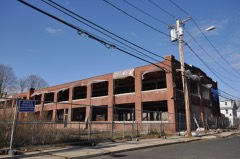
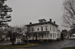
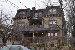
BlockBefore

Fairfield County, Connecticut

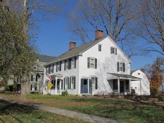
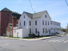
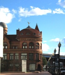
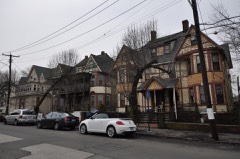
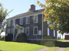
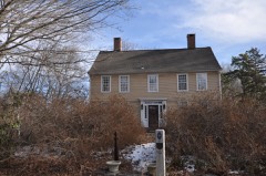
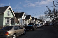
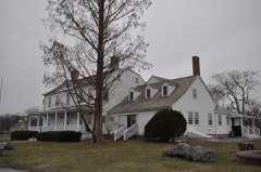
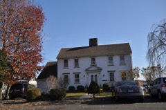
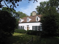
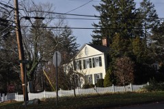
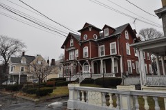
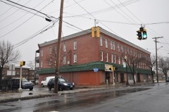
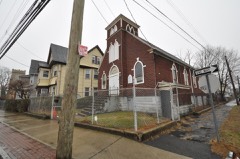
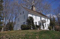
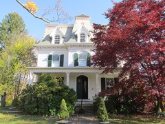
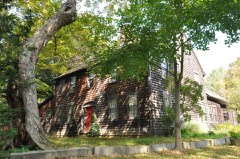
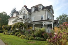
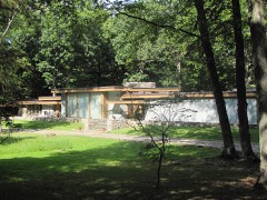
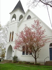
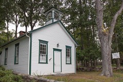
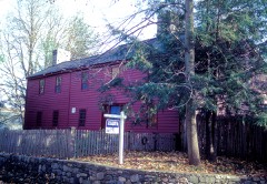
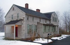
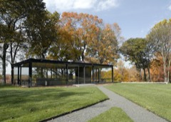
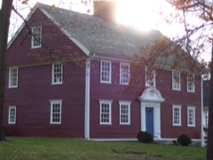
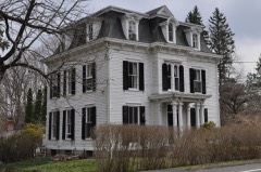
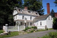
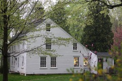
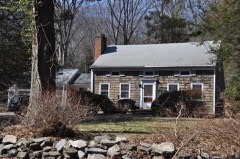
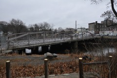
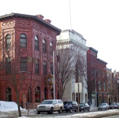
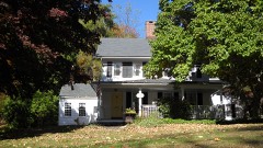
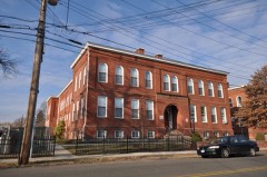
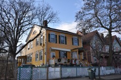
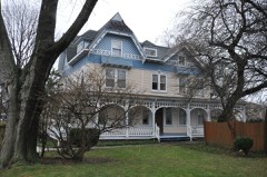
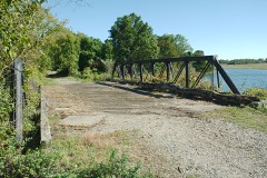
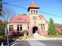
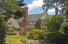
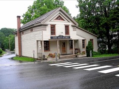
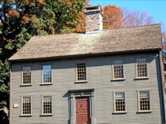
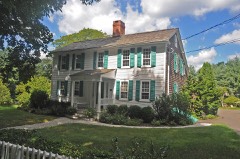
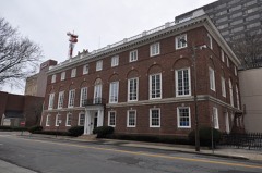
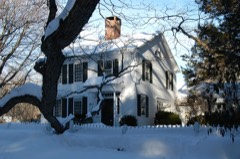
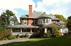
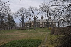
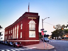
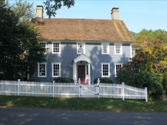
269 topographic sheets cover 198 settlements here, and 298 properties are on the National Register of Historic Places.

Research this county

From the record

298 National Register listings published here, 13 of them National Historic Landmarks · the county-history sources tell 2 stories and name 29 people · people the book names include Gershom W. Bradley (Weston Town, 1881) · The Mii.I.Er (Norwalk Town, 1881) (machine-read).

Sources: the county history on the Internet Archive · the National Register database, National Park Service

Connecticut within the United States
Fairfield County within Connecticut

What the record shows

  • 6,607 topographic sheet readings cover the county's settlements.
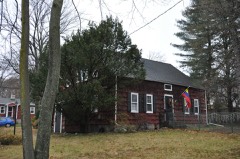
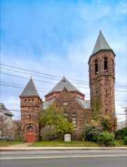
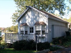
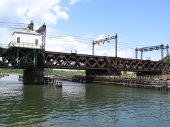
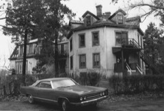
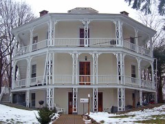
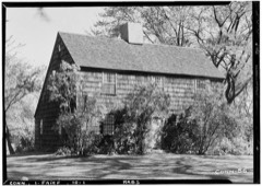
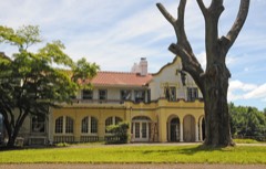
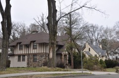
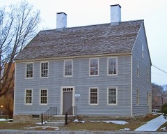
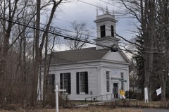
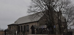
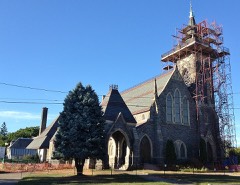
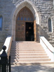
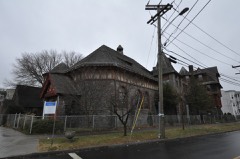
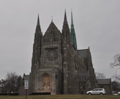
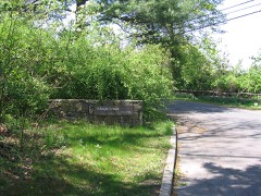
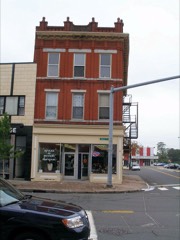
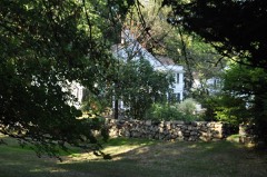
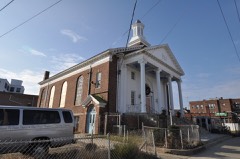
  • 298 properties here are on the National Register of Historic Places: 174 buildings, 99 districts, 22 structures, 2 sites and 1 object.
  • 41 of the 298 listings were added during the 1970s.
  • The Geographic Names Information System records 203 populated places in this county; 198 are covered by at least one topographic sheet.
  • 5 public-domain county histories, 1881 to 1896, supply 472,990 words of narrative reproduced here.

What happened here

2 accounts

Among them: Green; The Earliest Settlers. These passages come from the identified county-history source books. Each inset names its own source and opens the exact section it comes from.

From History of Fairfield County, Connecticut : with Illustrations and Biographical Sketches of Its Prominent Men and Pioneers, published 1881 - Greenwich Town

Green

For five or six years after the first settlement (1640 -46) the people of Greenwich had much trouble with their Indian neighbors, the indirect cause being rum, - "cussed fire-water," as the savage-! called it, - bought of the Dutch at New York. To begin with (1642), some Dutch traders, a drunken Indian, cheating in a bargain for furs, and a murdered Indian, all near New York.

Read the rest of this passage

From History of Fairfield County, Connecticut : with Illustrations and Biographical Sketches of Its Prominent Men and Pioneers, published 1881 - Greenwich Town

The Earliest Settlers

THE EARLIEST SETTLERS. Daniel Patrick was a fighting Englishman from Massachusetts; he had bravely seconded Mason in the Pequot war and in the great swamp-fight in Fairfield. He was shot dead in Greenwich in 1644 by a Dutch officer into whose face he spat on being called a liar. He was high-tempered and reckless, scarcely fearing God or man, and indefatigable in promoting the interests of the settlement he 25lanted.

Read the rest of this passage

Places on the National Register

298

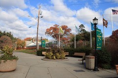
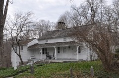
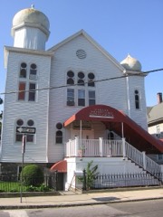
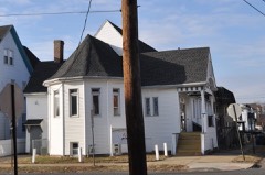
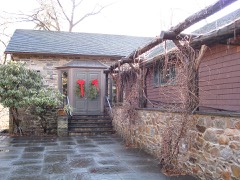
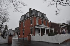
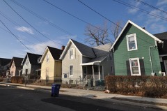
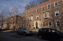
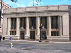
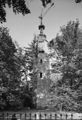
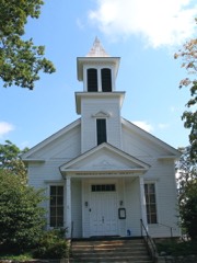
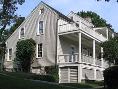
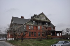
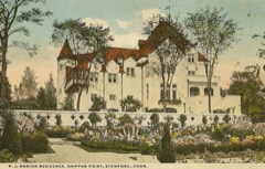
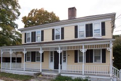
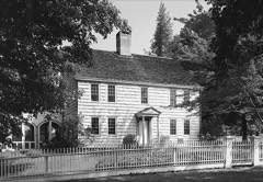
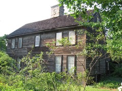
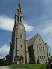
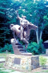
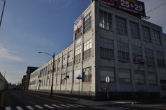
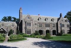
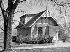
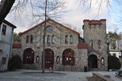
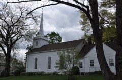
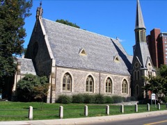
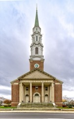
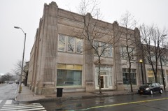
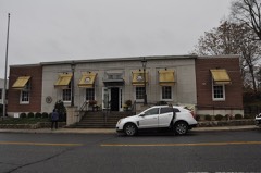
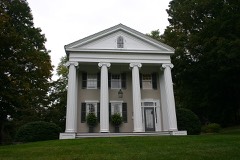
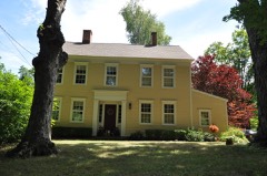
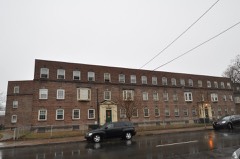
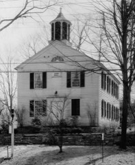
Every property in this county listed on the National Register of Historic Places, with the year it was listed and the federal nomination document.

Photograph PropertyType ListedReference
Agudath Sholem Synagoguebuilding199595000561
Allen House, Thebuilding201010000492
Aspetuck Historic Districtdistrict199191000437
BERKSHIRE NO. 7structure197878002837
Caleb Baldwin Tavernbuilding200202000869
Ball and Roller Bearing Companybuilding198989001087
Aaron Barlow Housebuilding198282004347
Barnum Institute of Science and Historybuilding100009807
Barnum Museumbuilding72001300
Barnum/Palliser Historic Districtdistrict198282000995
Daniel and Esther Bartlett Housebuilding199393000290
Daniel Basset Housebuilding200202000870
Bassickville Historic Districtdistrict198787001511
Beardsley Parkdistrict199998000357
Benedict House and Shopbuilding199898001440
Beth Israel Synagoguebuilding199191001684
Bikur Cholim Synagoguebuilding199595001341
Birdcraft Sanctuarydistrict198282004371
Peyton Randolph Bishop Housebuilding198787000803
William D. Bishop Cottage Development Historic Districtdistrict198282004388
Black Rock Gardens Historic Districtdistrict199090001430
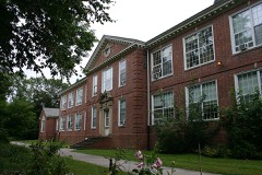
Black Rock Historic Districtdistrict197979002658
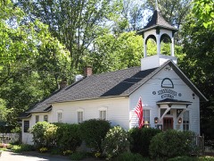
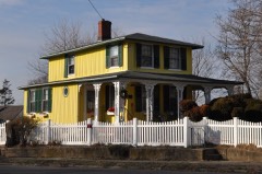
Nathan B. Booth Housebuilding199292000317
Boothe Homesteaddistrict198585000951
Boston Post Road Historic Districtdistrict198282000997
Bradley Edge Tool Company Historic Districtdistrict199595001347
Bradley-Hubbell Housebuilding200303000235
Bradley-Wheeler Housebuilding198484000791
Branchville Railroad Tenementbuilding198282004346
Marcel Breuer House IIbuilding201010000572
Bridge Street Historic Districtdistrict2018100002318
Bridgeport City Hallbuilding197777001387
Bridgeport Downtown North Historic Districtdistrict198787001403
Bridgeport Downtown South Historic Districtdistrict198787001402
Bronson Windmillstructure197171000896
Brookfield Center Historic Districtdistrict199191000992
Bush-Holley Housebuilding198888002694
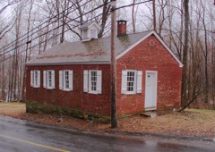
Byram Schoolbuilding199090001110
Cannondale Historic Districtdistrict199292001531
Cassidy Housebuilding201111000749
Chichester Road Historic Districtdistrict2026100012774
Arthur and Lyn Chivvis Housebuilding201010000564
Christ Episcopal Church and Tashua Burial Groundbuilding200101000401
Church of the Holy Namebuilding198787002131
Commodore Hull Schoolbuilding198383001251
Compo-Owenoke Historic Districtdistrict199191000393
Abijah Comstock Housebuilding2017100001731
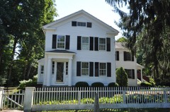
Connecticut Railway and Lighting Company Car Barnbuilding198787001405
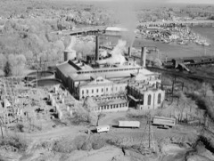
Cos Cob Power Stationdistrict199090001096
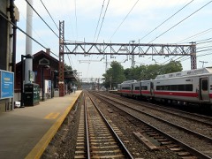
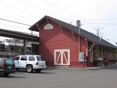
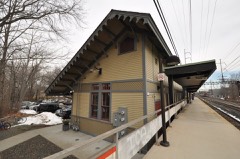
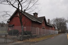
Cos Cob Railroad Stationbuilding198989000928
Cosier-Murphy Housebuilding199191000994
Cove Island Housesbuilding197979002652
Nathaniel Curtis Housebuilding198282004342
Deacon John Davenport Housebuilding198282004611
Hanford Davenport Housebuilding198989000948
Deacon's Point Historic Districtdistrict199292001019
Division Street Historic Districtdistrict198282004385
Downtown Bridgeport Historic Districtdistrict2025100011926
Downtown Stamford Historic Districtdistrict198383003502
Downtown Stamford Historic District (Boundary Increase 2)district200302001744
Downtown Stamford Historic District (Boundary Increase)district198585000311
Dr. Harvey and Rhoda Wasserman Housebuilding2024100010945
Durisol Housebuilding201010000566
ELMER S. DAILEYstructure197878002838
Eagle's Nestbuilding197979002630
East Bridgeport Historic Districtdistrict197979002659
East Main Street Historic Districtdistrict198585000306
Ein Jacob (Ayn Yacob) Synagoguebuilding199595001342
Rev. John Ely Housebuilding200101000400
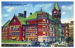
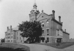
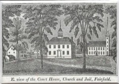
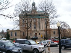
Fairfield County Courthousebuilding198282004376
Fairfield County Jailbuilding198585000841
Fairfield Hills Campus Historic Districtdistrict2024100010816
Fairfield Historic Districtbuilding197171000897
Fairfield Railroad Stationsbuilding198989000926
Samuel Ferris Housebuilding198989001086
First Baptist Churchbuilding199090000154
First Presbyterian Churchbuilding100006272
First Presbyterian Churchbuilding100006271
Five Mile River Landing Historic Districtdistrict200908001189
Elinor and Sherman Ford Housebuilding201010000574
Fourth Ward Historic Districtdistrict200000000324
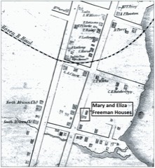
Mary and Eliza Freeman Housesbuilding199999000110
French Farmbuilding197575001918
Gallaher Estatedistrict201111000376
Gateway Village Historic Districtdistrict199090001429
Georgetown Historic Districtdistrict198787000343
Glenville Historic Districtdistrict200707000107
Glenville Schoolbuilding200303001169
Glover Housebuilding198282004369
John Glover Housebuilding200101000882
Godillot Placebuilding197777001396
Golden Hill Historic Districtdistrict198787001404
Landis Gores Housebuilding200202000189
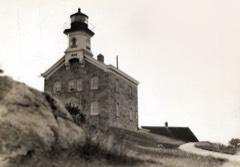
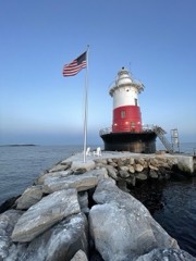
Great Captain Island Lighthousebuilding199191000351
Green Farms Schoolbuilding199191000391
Greenfield Hill Grange #133building200807001440
Greenfield Hill Historic Districtdistrict197171000899
Greens Ledge Lighthousestructure199089001468
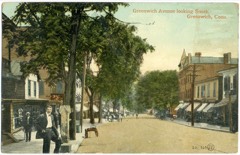
Greenwich Avenue Historic Districtdistrict198989001215
Greenwich Municipal Center Historic Districtdistrict198888000579
Greenwich Point Historic Districtdistrict2021100004671
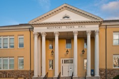
Greenwich Town Hallbuilding198787000807
Greenwich YMCAbuilding199683004541
Greenwood Avenue Historic Districtdistrict199999001568
Benjamin Hait Housebuilding197878002844
Hall, Isaac Davis and Marion Dalton, Housebuilding201010000573
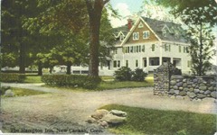
Hampton Innbuilding200489001106
Hattertown Historic Districtdistrict199696001461
Haviland and Elizabeth Streets-Hanford Place Historic Districtdistrict198888000664
Thomas Hawley Housebuilding198080004059
Hearthstonebuilding198787002184
Hebrew Congregation of Woodmontbuilding199595000860
Richard and Geraldine Hodgson Housebuilding200504001549
Hotel Beachbuilding197878002839
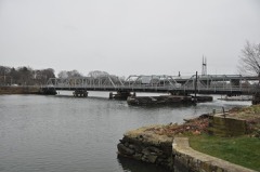
Housatonic River Railroad Bridgestructure198787000842
Hoyt-Burwell-Morse Housebuilding2017100000594
Hoyt-Barnum Housebuilding196969000199
Hubbard Heights Historic Districtdistrict201616000724
Huntington Center Historic Districtdistrict200000000296
Hurlbutt Street Schoolbuilding199696000774
Thomas Hyatt Housebuilding198484000793
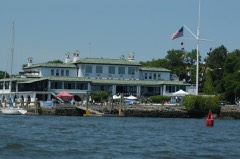
Indian Harbor Yacht Clubbuilding201010000494
Charles Ives Housebuilding197676001968
Philip Johnson Glass Housedistrict199797000341
Capt. David Judson Housebuilding197373001946
Lewis June Housebuilding198484000795
Keeler Tavernbuilding198282004345
Enos Kellogg Housebuilding201212000356
Kettle Creek Historic Districtdistrict199595001348
Kings Highway North Historic Districtdistrict199898000884
John Knap Housebuilding197979002625
Knapp Tavernbuilding197777001389
Lakeview Village Historic Districtdistrict199090001428
David Lambert Housebuilding199292000908
Nathan B. Lattin Farmbuilding199090000760
Le Roy Shirt Company Factorybuilding201212000357
John Black Lee House Ibuilding201010000568
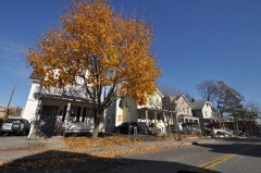
Isaac Lewis Housebuilding199191001739
Linden Apartmentsbuilding198383001252
Little Bethel African Methodist Episcopal Churchbuilding201010000831
Lockwood-Mathews Mansionbuilding197070000836
Locust Avenue Schoolbuilding198585001162
Long Ridge Village Historic Districtdistrict198786003653
Long Ridge Village Historic District (Boundary Increase)district201111000750
Joseph Loth Company Buildingbuilding198484000804
Phineas Chapman Lounsbury Housebuilding197575001919
Thomas Lyon Housebuilding197777001390
Main Street Bridgestructure198787000801
Main Street Historic Districtdistrict198383003508
David Mallett Jr. Housebuilding198686000266
Maplewood Schoolbuilding199090000153
March Route of Rochambeau's Army: Reservoir Roaddistrict200302001679
March Route of Rochambeau's Army: Ridgebury Roaddistrict200303000313
Marina Park Historic Districtdistrict198282004382
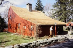
Marion Castle, Terre Bonnebuilding198282004341
Marvin Tavernbuilding198484000806
Stephen Tyng Mather Housebuilding196666000877
Meadowlandsbuilding198787001408
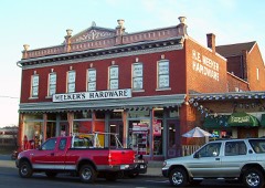
Meeker's Hardwarebuilding198383001253
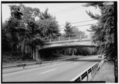
Merritt Parkwaydistrict199191000410
Methodist Episcopal Churchbuilding198888001343
Mianus River Railroad Bridgestructure198787000845
Mill Cove Historic Districtdistrict199191000392
Beaven W. Mills Housebuilding201010000565
Mills, Willis N, Housebuilding201010000567
Monroe Center Historic Districtdistrict197777001392
Morris and Rose Greenwald Housebuilding2024100010953
Murphy, Charles and Peggy Housebuilding201010000563
Nathaniel Wheeler Memorial Fountainobject198585000706
Nathaniel Witherell Historic Districtdistrict201010000346
National Hall Historic Districtdistrict198484000812
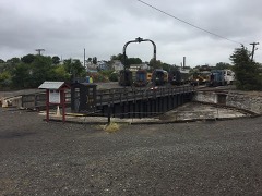
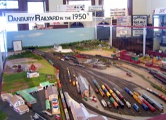
New Haven Railroad Danbury Turntablestructure200505001048
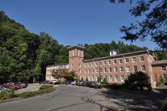
New Mill and Depot Building, Hawthorne Woolen Millbuilding199090000152
New York Belting and Packing Co.district198282004367
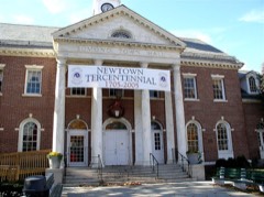
Newtown Borough Historic Districtdistrict199696001458
Nichols Farms Historic Districtdistrict198787001392
Norfield Historic Districtdistrict199191000955
Norwalk City Hallbuilding199595000282
Norwalk Green Historic Districtdistrict198787002122
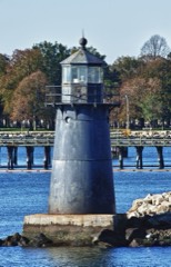
Norwalk Island Lighthousebuilding198988003222
Norwalk River Railroad Bridgestructure198787000844
Octagon Housebuilding197979002624
Octagon Housebuilding197373001945
David Ogden Housebuilding197979002651
Old Town Hallbuilding197272001304
John Osborne Housebuilding198787000118
Oysterman's Rowdistrict201010000927
PRICILLA DAILEYstructure197878002840
Palace and Majestic Theatersbuilding197979002626
Park Apartmentsbuilding199090001427
Peck Ledge Lighthousestructure199089001472
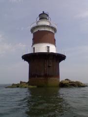
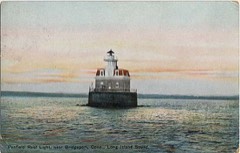
Penfield Reef Lighthousestructure199089001473
Pequonnock River Railroad Bridgestructure198787000843
Maxwell E. Perkins Housebuilding200404000415
Perry Avenue Bridgestructure200606000951
David Perry Housebuilding198484000814
Gustavus and Sarah T. Pike Housebuilding199090000759
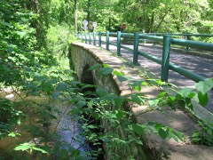
Pine Creek Park Bridgestructure199292000263
Plumb Memorial Librarybuilding197878002845
Pond-Weed Housebuilding197878002842
Putnam Hill Historic Districtdistrict197979002657
Putnam Memorial State Parksite197070000683
Railroad Avenue Industrial Districtdistrict198585002697
Redding Center Historic Districtdistrict199292001253
Remington City Historic Districtdistrict199090001426
Remington Village Historic Districtdistrict199090001425
Frederic Remington Housebuilding196666000880
Restmorebuilding200909000467
Revonah Manor Historic Districtdistrict198686002100
John Rider Housebuilding197777001388
Ridgebury Congregational Churchbuilding198484000815
Ridgefield Center Historic Districtdistrict198484000817
River Road-Mead Avenue Historic Districtdistrict201414000171
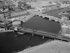
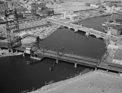
Riverside Avenue Bridgestructure197777001391
P. Robinson Fur Cutting Companybuilding198282000998
Rock Ledgebuilding197777001394
John Rogers Studiobuilding196666000881
Rosemary Hallbuilding199890001137
Round Hill Historic Districtdistrict199696000779
Rowayton Depot Historic Districtdistrict201915000410
Sanford-Curtis-Thurber Housebuilding200707000557
Saugatuck River Bridgestructure198787000126
Saugatuck River Railroad Bridgestructure198787000846
Seaside Institutebuilding198282004374
Seaside Parksite198282004373
Seaside Village Historic Districtdistrict199090001424
Seth Seelye Housebuilding197777001386
Sylvanus Selleck Gristmillbuilding199090001109
Shambaugh Housebuilding199999000432
Sherman Historic Districtdistrict199191000956
Silvermine Center Historic Districtdistrict200907001441
Sloan-Raymond-Fitch Housebuilding198282004344
Sound Beach Railroad Stationbuilding198989000929
South End Historic Districtdistrict198686000472
South Main and Washington Streets Historic Districtdistrict197777001393
South Main and Washington Streets Historic District (Boundary Increase II)district199999000449
South Main and Washington Streets Historic District (Boundary Increase)district198585003505
Southport Historic Districtdistrict197171000898
Southport Railroad Stationsbuilding198989000927
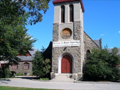
St. Andrew's Protestant Episcopal Churchbuilding198383003510
St. Benedict's Churchbuilding198787002130
St. John's Episcopal Churchbuilding198484000820
St. John's Protestant Episcopal Churchbuilding198787002128
St. Luke's Chapelbuilding198787002129
St. Mark's Episcopal Churchbuilding2021100006054
St. Mary's Churchbuilding198787002123
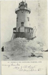
Stamford Harbor Lighthousebuilding199191000348
C. J. Starr Barn and Carriage Housebuilding197979002623
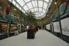
Sterling Block-Bishop Arcadebuilding197878002841
Sterling Hill Historic Districtdistrict199292000335
Sterling Homesteadbuilding197676001973
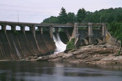
Stevenson Dam Hydroelectric Plantstructure200000001073
Stratfield Historic Districtdistrict198080004060
Stratford Center Historic Districtdistrict198383003511
Stratford Point Lighthousestructure199089001476
Strickland Road Historic Districtdistrict199077001625
Jonathan Sturges Housebuilding198484000247
Sturges-Wright Housebuilding201515000111
Suburban Clubbuilding198989001090
James Swallen Housebuilding201010000570
System Housebuilding201010000571
Ida Tarbell Housebuilding199393001602
Tarrywilebuilding198887001409
Corinne and George Liston Jr. Tatum Housebuilding201010000569
The Lodges Historic Districtdistrict2020100005501
Titicus Hill Historic Districtdistrict201212000267
Tongue Point Lighthousestructure199089001478
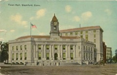
Town Hallbuilding198282004343
Turn-of-River Bridgestructure198787000798
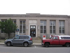
US Post Office-Bridgeport Mainbuilding198686000453
US Post Office-Greenwich Mainbuilding198686000077
US Post Office-South Norwalk Mainbuilding198686000126
US Post Office-Stamford Mainbuilding198585003328
Umpawaug District Schoolbuilding198888002695
Union Stationbuilding198686002750
Unitarian-Universalist Churchbuilding198787002126
United Congregational Churchbuilding198484000822
United Illuminating Company Buildingbuilding198585000301
United States Post Office, Westport, Connecticutbuilding201212000001
Village Creekdistrict201010000493
Wall Street Historic Districtdistrict200909000342
Waltersville Schoolbuilding2025100011334
Wavenydistrict2019100004543
David Jr. and Sarah Webb Housebuilding201111000751
J. Alden Weir Farm Historic Districtdistrict198484000825
West End Congregation-Achavath Achim Synagoguebuilding199595000574
West Mountain Historic Districtdistrict198484000828
Westport Bank and Trust Companybuilding200606000593
Westport Center Historic Districtdistrict201616000449
Ephraim Wheeler Housebuilding199292000318
Whistleville Historic Districtdistrict2021100006641
Josiah Wilcox Housebuilding198888001344
Williams Housebuilding201413000525
Wilmot Apartments Historic Districtdistrict199090001423
Wilton Center Historic Districtdistrict199292001003
Zion Lutheran Churchbuilding198787002127

Wildfire, 1992 to 2020

510 fires

Every wildfire the federal occurrence database records inside this county: 510 of them, burning about 527 acres. 1 started naturally and 60 were recorded as arson. Each settlement page carries the fires within five miles of it.

Reported cause Fires
Missing data/not specified/undetermined266
Arson/incendiarism60
Debris and open burning48
Recreation and ceremony44
Misuse of fire by a minor36
Smoking33
Equipment and vehicle use11
Railroad operations and maintenance7
Power generation/transmission/distribution3
Fireworks1
Natural1

The five largest, by the area the report gives. Three of them were set deliberately.

DateCause SizeReported by Name on the report
7 May 1995Debris and open burning50 acresConnecticut Division of Forestrynot named
22 April 1998Debris and open burning40 acresConnecticut Division of Forestrynot named
16 April 2003Misuse of fire by a minor25 acresConnecticut Division of Forestrynot named
5 September 2015Missing data/not specified/undetermined25 acresConnecticut Division of Forestrynot named
24 March 2009Arson/incendiarism16 acresConnecticut Division of Forestrynot named
9 March 2016Arson/incendiarism15 acresConnecticut Division of ForestryPAUGNUT STATE FOREST DEVAUX RD
1 May 1997Misuse of fire by a minor15 acresConnecticut Division of Forestrynot named
9 March 2016Arson/incendiarism12 acresConnecticut Division of ForestryPAUGNUT STATE FOREST SAWMILL ROAD AREA

Every settlement page carries the fires within five miles of it - see the settlement index below.

Storms, 1950 to 2025

60 of 816 shown

The NOAA Storm Events Database holds 816 reports for this county, causing 12 deaths, 67 injuries and about $30,108,000 in recorded property damage. Each settlement page carries the reports that name it.

Kind of event Reports
Thunderstorm Wind459
Flash Flood169
Hail78
Lightning37
Heavy Rain27
Flood24
Tornado17
Funnel Cloud4
High Wind1

The most serious of them, by death, then injury, then recorded damage. The accounts are quoted exactly as the forecast office filed them.

WhenEvent Place namedHarm What the report says
August 1997Heavy RainCountywide2 killedno account filed
June 2011Thunderstorm WindHunting Ridge1 killed, 2 hurt, $7,500A combination of strong winds and heavy rainfall caused a tree to fall down on car at the intersection of Merritt Parkway and County Route 104, killing one person, and injuring two others.
May 2010LightningBlack Rock1 killed, 2 hurtLighning struck 3 men fishing on a jetty at Seaside Park in Bridgeport. A 29 year old man was filled and 2 other men were injured.
May 2018Thunderstorm WindDanbury1 killed, 1 hurt, $5,000Tree fell on truck in Candlewood Lake area killing a man.
August 2024Flash FloodLyons1 killed, $100,000Pickup truck and camper submerged in Aspectuck River near Sawmill Road. Nearby bridge washed out. Deceased male located downstream from submerged vehicle.
July 2019Thunderstorm WindBridgeport1 killed, $7,000A 21 year old man was killed when a large tree limb and power lines fell onto his car in the northbound lanes of Park Avenue between Wilson Street and Merritt Street.
June 2019Thunderstorm WindFairfield1 killed, $6,000Fallen tree into a car resulted in a fatality and another person having to be extracted from the car on Sturges Road in the Mill Plain section of Fairfield.
May 2018Thunderstorm WindNew Fairfield1 killed, $5,000Tree fell on a car on Brush Hill Road, killing one person inside.
September 2008Flash FloodWinnipauk1 killedA homeless man was swept down the Norwalk River from his home under the Cross Street Bridge. His body was found at 8:15 am Sunday morning off of Chimon Island, just outside Norwalk Harbor. The medical examiner determined the death was consistent with drowning with a boat propeller injury occurring after death.
May 2002High WindFairfield1 killedno account filed
June 1997Thunderstorm WindStamford1 killedno account filed
June 2010Thunderstorm WindBridgeport25 hurt, $3,200,000Straight line winds in Bridgeport, in addition to the small EF1 Tornado, caused the collapse of 5 complete buildings, including one on Knowlton Street, with damage to 9 other buildings. The winds, estimated at 100 mph also blew a billboard off an apartment building, blew out windows and off bricks from buildings, flipped over a tractor trailer on I-95 between exits 27 and 28, flipped over cars on Route 25 between exits 3 and 4, and tore some siding of off the City Hall Annex. It also tore down radio towers, brought down hundreds of trees, including 2 on a house on Bond Street, and across Route 25 between exits 3 and 4. 57 streets were at least partially closed due to the wind damage. Around two dozen people were displaced by the storm. Note damage estimate includes damage from the tornado, as the total is hard to separate.
June 1990Tornado (F0)not stated7 hurt, $2,500no account filed
June 2010Tornado (EF1)Bridgeport3 hurt, $3,200,000An NWS Storm Survey determined that an EF-1 Tornado, with maximum winds of 110 mph, impacted a small portion of Bridgeport. The survey found many signs of wind rotation in a highly localized area just north of Interstate 95. The area was bounded by the Interstate 95 northbound connector on the west and Pembroke Street on the east. The most severe damage was concentrated along East Main Street between Nichols Street on the south and Cedar Street on the North. In this area, windows were blown in, the facade of a building was stripped off, tree tops were sheared off, and large pieces of metal blown off from surrounding structures were wrapped around a fire hydrant. Eyewitness reports described a rain wrapped tornado with visibility near zero in swirling heavy rain and debris. Note the damage estimate is just a portion of the total damage to Bridgeport.
July 1950Tornado (F2)not stated3 hurt, $250,000no account filed
May 2009LightningStevenson3 hurtThree people were struck by lightning while in their tents camping at Webb Mountain Park.
September 1997Thunderstorm WindRedding3 hurtno account filed
September 1992Thunderstorm Windnot stated3 hurtno account filed
June 2010Thunderstorm WindStratford1 hurt, $100,000Hundreds of trees were reported down in Stratford, with the Lordship section hardest hit, with the Paradise Green section a close second. Several structures as well as a few cars were reported to have trees fall on them. One person was injured when a tree branch fell on the car they were in, and a police car had its windshield blown out by the winds.
June 2010Thunderstorm WindTrumbull1 hurt, $40,000Several trees and power lines were reported down in Trumball, including a tree falling on a car along Daniels Farm Road, injuring the occupant, and into two houses - one at the corner of Twitchgrass Road and Washington Street and the other on Wildwood Drive, just off Lake Avenue.
July 2025Thunderstorm WindNichols1 hurt, $10,000Tree down on vehicle with occupants inside on White Plains Road at Merritt Parkway. One injury reported.
July 2009Thunderstorm WindWestport1 hurt, $7,500A large limb fell into a house, injuring an occupant.
August 2020Thunderstorm WindWestport1 hurt, $7,000Trees down and wires on car with people trapped on Wilton Road. One person attempted to exit and was shocked.
May 2018Thunderstorm WindGermantown1 hurt, $5,000A dugout roof collapsed on the baseball field of Henry Abbott Technical High School resulting in one serious injury.
July 2009Thunderstorm WindGreenfield Hill1 hurt, $3,000A 15 inch diameter branch fell into a roof on a house on Greenport Lane, causing minor injuries to the occupant.
June 2006LightningNew Fairfield1 hurtMan struck by lightning. Taken to hospital. He was treated for minor injuries and released.
April 1995Thunderstorm WindBridgeport1 hurtThe National Weather Service in Bridgeport recorded a peak wind gust to 63 mph. In Stamford, a driver was injured when a tree fell on her car.
August 2001LightningTrumbull1 hurtno account filed
June 2000Thunderstorm WindGreenwich1 hurtno account filed
May 1998LightningTrumbull1 hurtno account filed
July 1997LightningNewtown1 hurtno account filed
January 1996Thunderstorm WindCountywide1 hurtno account filed
April 1995Thunderstorm WindBridgeport1 hurtno account filed
August 2000Flash FloodBridgeport$6,000,000no account filed
September 2021Flash FloodNorth Greenwich$5,110,000Heavy rain and flash flooding resulted in uninsured damages of $5,112,636 across Fairfield County.
March 2010FloodShippan Pt$2,000,000In Stamford, many basements were flooded on Cedar Heights Rd. and in the Shippan Point area.
March 2010FloodCos Cob$2,000,000Widespread basement flooding occurred throughout New Canaan and extending into the Old Bridgeport area. This was exacerbated by storm surge in the Old Bridgeport area, which caused the closing of Sound Beach Ave. between Lincoln Ave. and Vista Avenue. Widespread small stream flooding was also reported in New Canaan.||Total rainfall amounts received across Fairfield County ranged from 3.84 inches at Sikorsky Memorial Airport in Bridgeport to 4.78 inches in Shelton.
October 2007Flash FloodShippan Pt$2,000,000Flash flooding of many streets and basements occurred in Stamford, Norwalk, and New Canaan. Damage occurred to several hundred homes in the Darien and Stamford areas.||Storm Total Rainfall amounts of 5.40 inches was measured at New Canaan and 5.10 inches at Stamford by the Automated Weather Station.|
July 2006Tornado (F1)North Greenwich$2,000,000no account filed
September 1999Flash FloodCountywide$1,300,000no account filed
May 1994Thunderstorm WindNew Canaan$500,000A severe thunderstorm moved through Fairfield County in southwest Connecticut, producing damaging winds. The wind damage was discontinuous and caused by very strong downburst winds. The most severe damage was in New Canaan. The path extended some 30 miles and was one of a "skipping" character. In New Canaan, trees were reported blown down all over town and many had their tops clipped off. Nineteen roadways were closed due to fallen trees. Power was knocked out to the entire town. A tree fell on a car during the height of the storm and shortly after the storm had ended, a 73-year-old man suffered head injuries when a damaged tree limb fell on his car.
August 2024Flash FloodSandy Hook$100,000CONN DOT reports Route 6 closed at Commerce Road because of a washout.
August 2024Flash FloodShelton$100,000Multiple docks and boats ripped from shore and floating down river at Lake Housatonic. Road washed out and closed nearby.
July 2012Thunderstorm WindGermantown$75,000A two- ton air conditioning unit on top of Roger Park Middle School was torn loose and fell through the roof into the building. The town engineer estimated the wind at 100 mph. Many large trees were uprooted nearby.
June 2011Thunderstorm WindBrook Field$75,000Around 100 trees were reported down throughout Brookfield.
March 2000LightningSandy Hook$60,000no account filed
August 2024Flash FloodStevenson$50,000Video of Roosevelt Drive in Monroe washed out near Lake Zoar drive-in.
August 2024Flash FloodRiverside$50,000Picture and video on social media of Bennetts Bridge Road in Sandy Hook washed out.
October 2018Tornado (EF1)New Canaan$50,000A National Weather Service (NWS) Storm Survey of damage was conducted with|Connecticut Emergency Management and Homeland Security and the New Canaan|and Norwalk Offices of Emergency Management in the area from New Canaan to Norwalk. Based on the results of this survey and NWS Doppler Radar data the following information has been determined. The tornado began near the intersection of Weed Street and Marshall Ridge Road in New Canaan and lifted near the intersection of Scribner Avenue and Orlando Road in Norwalk. Extensive tree damage was observed, and some of the trees fell on parked cars. The most significant damage was in New Canaan, where multiple trees were both uprooted and snapped. This damage is consistent with maximum wind speeds of around 100 mph, making this an EF-1 tornado. The tornado had a maximum path width of around 100 yards and was on the ground for around three and three-quarter miles.
August 2012Thunderstorm WindGreenwich$50,000Dozens of trees were reported down throughout the town of Greenwich, including several into homes. A combination of the downed trees and associated power lines down closed all or parts of 62 roads in the town, including 2 southbound lanes of I-95 between exits 2 and 3. One of the uprooted trees broke a gas line at the intersection of Shore Road and Nawthorne Road. Some of these trees fell across the tracks for the New Haven Line for Metro-North, resulting in the suspension of service along this line in both directions between Stamford, CT and Harrison NY.
June 2010Thunderstorm Wind(Bdr)Bridgeport Mem$50,000At the time of the wind gust, a roof was lifted off a hangar at the airport, shattering windows, and cracking its foundation. The winds also detached two corner walls from the top story of the old terminal building at the airport. A couple of airplanes suffered minor damage. Debris from the damaged hangar and terminal building caused minor damage to an adjacent bar.
July 2011Thunderstorm WindGreenwich$40,000Dozens of trees were reported down, with ten roads blocked by fallen trees throughout the town of Greenwich. One home along Knollwood Drive received significant damage when a tree fell on it.
July 2009LightningSport Hill$40,000Lightning struck the properties at 144 Bennett Street and 35 London Terrace within minutes of each other, causing fires at both locations.
June 2010Thunderstorm WindNewtown$35,000Numerous trees and power lines were downed throughout Newtown. Over 11,000 customers lost power in the region. Over 25 roads were closed due to the damage.
August 2009Thunderstorm WindGreenwich$35,000At least 42 trees and large branches were downed in Greenwich.
June 2010Thunderstorm WindEaston$30,000Significant tree damage was reported throughout the Town of Easton, with some falling on houses.
June 2024Thunderstorm WindBrook Field$25,000Law enforcement reports trees down across the town of Brookfield with numerous instances of damage. Some of these include a tree down on a power line at Federal Road and Del Mar Drive, a tree uprooted and on a house off Stony Road and a damaged car in a parking lot from a fallen tree.
June 2015Thunderstorm WindRidgefield$25,000Multiple trees were reported down across town, with several down upon cars.
June 2010Thunderstorm WindShelton$25,000Numerous trees and power lines were reported down in Shelton, closing several roads, including Dexter Drive and Park Avenue.
July 2010Thunderstorm WindWestport$25,000Widespread tree damage was reported, with some trees snapped a few feet above the ground. One tree fell onto a car on Compo Road North, near State Route 136.

Mines and quarries

128 recorded

The Survey's mineral resources record lists 128 workings inside this county. 15 still produce and 113 are closed or unrecorded. Each settlement page carries the workings within five miles of it.

Commodity Workings
Sand and Gravel, Construction32
Stone, Dimension17
Granite12
Stone9
Quartz7
Stone, Crushed/Broken6
Feldspar5
Fluorine-Fluorite4
Limestone, General4
Bismuth4
Marble, Dimension4
Lead3
Beryllium, Feldspar, Mica3
Limestone, Dimension3

The least common of them first, because a county's hundredth gravel pit says nothing its first ten did not.

Where SiteCommodity StatusRecorded
Arsenopyrite Mine No. Ek-017Arsenic, Iron, SulfurPast Producer
Branchville Mica MineNiobium (Columbium), Tantalum, Quartz, Feldspar, MicaPast ProducerPegmatite Dike
Branchville Mica MineBeryllium, Feldspar, Mica, Silica, TantalumPast Producer
Brookfield Lead MineSulfur, Zinc, LeadPast ProducerMetamorphosed Sedimentary
Burnett Fluorite Chalcopyrite OccurrenceFluorine-Fluorite, Copper, Iron, SulfurOccurrenceChalcopyrite, Fluorite, Malachite
Connecticut Infusoria Co. MineDiatomitePast Producer
Gold & Silver MineGold, SilverPast Producer
Lane's Bismuth and Sulfide Mine In MonroeBismuth, Sulfur, IronPast ProducerMassive Quartz Lense
Lane's MineTungstenPast Producer
Lane's MineLead, Bismuth, Stone, TungstenPast Producer
Monroe (Lane's Mine)Silver, Bismuth, TungstenOccurrenceQuartz Vein
Pegmatite QuarryMica, QuartzPast Producer
Trumbull MineCopper, Lead, Silver, Stone, Crushed/Broken, TungstenPast Producer
Trumbull Tungsten, Topaz, and Sulfide MineFeldspar, Quartz, Tungsten, GemstonePast Producer1837, 1897
Handy & Harmon Refin/Fairfield, Ct.SilverPlant
Magnetite MineIronPast Producer
Unnamed Magnetite OccurrenceIronOccurrenceMagnetite
West Redding Garnet OccurrenceGarnetOccurrence
West Redding MineGarnetPast Producer
Wilton Silver and Galena Chalcopyrite MineSilverPast ProducerMetamorphosed Sedimentary
Brookfield MineLeadPast Producer
Captain Cook QuarryBeryllium, Feldspar, MicaPast Producer
Devils Den Limestone QuarryLimestone, DimensionPast Producer
Limestone QuarryLimestone, DimensionPast Producer
Old Sandy Hook Gold Mine Prospect and Sulfide OccurrenceLeadOccurrenceProbably Vein Quartz
Pegmatite QuarryBeryllium, Feldspar, MicaPast Producer
Pegmatite Quarry East VillageBeryllium, Feldspar, MicaPast Producer
QuarryLimestone, DimensionPast Producer
Wilton Lead MineLeadPast Producer
Booth's Lower Level Bismuth and Sulfide MineBismuthPast ProducerMassive Quartz In Silicif
Booth's MineBismuthPast Producer
Booth's Upper Level Bismuth and Sulfide ProspectBismuthOccurrenceMassive Quartz In Silicif
Calcite Marble Rock Quarry No. Fk-004Limestone, GeneralProducer
Dolomitic Marble Rock Quarries No. Fk-001Limestone, GeneralPast ProducerUnknown
Dolomitic Marble Rock Quarries No. Fk-006Limestone, GeneralPast Producer
Marble Lime Rock Quarry No. Ek-007Limestone, GeneralPast ProducerMarble
Marble QuarryMarble, DimensionPast Producer
Microscopic Fluorite Occurrence No. Ek-029Fluorine-FluoriteOccurrenceFluorite
Microscopic Fluorite Occurrence No. Ek-030Fluorine-FluoriteOccurrenceFluorite
Microscopic Fluorite Occurrence No. Ek-031Fluorine-FluoriteOccurrenceFluorite
Microscopic Fluorite Occurrence No. El-001Fluorine-FluoriteOccurrenceFluorite
Redding Marble Co. QuarryMarble, DimensionPast Producer
Ridgefield QuarryMarble, DimensionPast Producer
Bethel Feldspar Pegmatite QuarryFeldspar, QuartzPast ProducerFeldspar
Captain Cook Pegmatite QuarryFeldspar, QuartzPast ProducerFeldspar
East Village Monroe Feldspar Pegmatite QuarryFeldspar, QuartzPast ProducerBeryl, Columbite, Feldspar, Garnet
Feldspar QuarryFeldsparPast Producer
Ridgefield Pegmatite QuarryFeldspar, QuartzPast ProducerFeldspar
Basalt Rock Quarry No. El-003Stone, Crushed/BrokenPast ProducerDiabase
Collins Granite Gneiss Rock QuarryStone, Crushed/BrokenPast ProducerUnknown
Connecticut Agstone Co. QuarriesStone, Crushed/BrokenPast Producer
County Jail Granite Gneiss Rock QuarryStone, Crushed/BrokenPast ProducerUnknown
E. Paul Kovacs Crushed Rock Products QuarryStone, Crushed/BrokenProducer1963
Lime QuarryStone, Crushed/BrokenPast Producer
Quartz MineQuartzPast Producer
Quartz Rock Quarry No. Ek-023QuartzPast Producer
Christiano Oak Ridge Diorite Gneiss Rock QuarryStonePast Producer1833
Gneiss Rock Quarry No. Ek-006StonePast Producer
Granitic Gneiss Rock Quarries No. Ek-021StonePast ProducerGneiss
Granitic Gneiss Rock Quarries No. Ek-022StonePast ProducerGneiss
Marble Lime Rock Quarries No. Fk-008StonePast ProducerMarble
Marble Lime Rock Quarries No. Fk-009StonePast ProducerMarble
Marble Lime Rock Quarry No. Fk-012StonePast ProducerMarble
Schistose Gneiss Rock Quarry No. Fk-013StonePast ProducerGneiss
Schistose Gneiss Rock Quarry No. Fk-014StonePast ProducerGneiss
Burlison QuarryGranitePast Producer
Burr's QuarryGranitePast Producer
Christiano Hamilton Avenue QuarryGranitePast Producer
Chritiano Oak Ridge QuarryGranitePast Producer
Collins QuarryGranitePast Producer
County Jail QuarryGranitePast Producer
Gneiss QuarryGranitePast Producer
Granite QuarryGranitePast Producer
Hall QuarryGranitePast Producer
Ritch QuarryGranitePast Producer
Treadwell ProspectGraniteProspect
Voorhis QuarryGranitePast Producer
Bethel Pegmatite QuarryStone, DimensionPast Producer
Burlisonparsonsgranite Gneiss Rock QuarryStone, DimensionPast ProducerSurface
Christiano Hamilton Avenue Diorite Gneiss Rock QuarryStone, DimensionPast Producer1873
Granite Gneiss Rock Quarry No. Ek-032Stone, DimensionPast Producer
Granitic Gneiss Rock Quarries No. El-005Stone, DimensionPast ProducerGneiss
Granitic Gneiss Rock Quarry No. El-007Stone, DimensionPast ProducerGneiss
Hall Bates Granite Gneiss Rock QuarryStone, DimensionPast ProducerUnknown
QuarriesStone, DimensionPast Producer
QuarryStone, DimensionPast Producer
Ritch Diorite Gneiss Rock QuarryStone, DimensionPast ProducerUnknown
Topstone Hill Granite QuarryStone, DimensionPast ProducerGranite
Traprock QuarryStone, DimensionPast Producer
Treadwell Biotite Gneiss Granite Rock QuarryStone, DimensionPast Producer1895
Voorhis Diorite Gneiss Rock QuarryStone, DimensionPast Producer
Andrew Gereg PitSand and Gravel, ConstructionPast Producer
Bernard J. Dolan Co. Sand PitSand and Gravel, ConstructionPast ProducerSedimentary
Bernard J. Dolan Co. Sand PitSand and Gravel, ConstructionProducer
Bethel Sand & Gravel PitSand and Gravel, ConstructionProducer
Cappys PitSand and Gravel, ConstructionPast ProducerSedimentary
Cappys PitSand and Gravel, ConstructionPast Producer
Central PitSand and Gravel, ConstructionPast ProducerSedimentary
Central PitSand and Gravel, ConstructionPast Producer
Danbrook PitSand and Gravel, ConstructionProducer
Dolphin Cove PitSand and Gravel, ConstructionPast Producer
Domain Sand & Gravel PitSand and Gravel, ConstructionProducer
Domain Sand and Gravel PitSand and Gravel, ConstructionPast ProducerSedimentary
Federal PitSand and Gravel, ConstructionProducer
Frames PitSand and Gravel, ConstructionPast Producer
Gaults Gravel BankSand and Gravel, ConstructionProducer
Island Sand & Gravel PitSand and Gravel, ConstructionUnknown
Island Sand and Gravel PitSand and Gravel, ConstructionProducer
Jayne Brothers PitSand and Gravel, ConstructionProducer
Loma's Sand and Gravel PitSand and Gravel, ConstructionProducer
Lomas Sand and Gravel PitSand and Gravel, ConstructionPast ProducerSedimentary
Mountain Road PitSand and Gravel, ConstructionPast ProducerSedimentary
Mountain Road PitSand and Gravel, ConstructionUnknown
Mountain Road PitSand and Gravel, ConstructionPast Producer
Newtown PitSand and Gravel, ConstructionPast ProducerSedimentary
Newtown PitSand and Gravel, ConstructionProducer
Peburn PitSand and Gravel, ConstructionPast Producer
Puglio PitSand and Gravel, ConstructionPast ProducerSedimentary
Puglio PitSand and Gravel, ConstructionPast Producer
Sheton Sand & Gravel PitSand and Gravel, ConstructionUnknown
Toddy Hill PitSand and Gravel, ConstructionProducer
Weston Pit & DredgeSand and Gravel, ConstructionProducer
Wolf Park DredgeSand and Gravel, ConstructionPast Producer

The townships, in 1881

472,990 words

History of Fairfield County, Connecticut devotes a chapter to each township: its boundaries and streams, who settled it and when, the mills, the schools and the churches. All 15 are reproduced here in full. Each row shows the township's own shape and where it lies in the county, drawn from the Census Bureau's boundary. Which settlements belong to which township is computed from that same boundary, not taken from the book.

Shape and position in the county TownshipSettlements in it LengthSections
Bethel TownBethel, Codfish Hill9,255 words12
Bridgeport TownBlack Rock, Bridgeport, East Bridgeport, Grover Hill, Mill Hill, Newfield, Schoonhoven Park, Toilsome Hill136,004 words19
Brookfield TownBrookfield, Brookfield Center, Candlewood Orchards, Candlewood Shores, Obtuse Hill5,986 words10
Danbury TownAqua Vista, Beaverbrook, Beckettville, Candlewood Pines, Cedar Heights, Danbury, Germantown, Great Plain, Hawthorne Terrace, Hayestown, King Street, Lattins Landing, Long Ridge, Margerie Manor, Mill Plain, Miry Brook, Pleasant Acres, Snug Harbor, Ta'agan Point, Wildmans Landing25,748 words5
Easton TownAspetuck, Easton1,910 words4
Fairfield TownFairfield, Greenfield Hill, Little Danbury, Little Danbury, Melville Village, Mill Plain, Murray, Southport, Stratfield, Tunxis Hill6,612 words4
Greenwich TownBanksville, Belle Haven, Byram, Cos Cob, East Port Chester, Glenville, Greenwich, Indian Field, Mianus, North Greenwich, North Mianus, Old Greenwich, Pemberwick, Pine Hill, Riverside, Riversville, Rock Ridge, Stanwich24,517 words33
New Canaan TownDaniels Mill, Millville, New Canaan, Pinneys Corners, Ponus, Richards Corner, Sellecks Corners, Talmadge Hill3,776 words12
New Fairfield TownBall Pond, Bigelow Corners, Bogus Hill, Candlewood Isle, Candlewood Knolls, Hollywyle Park, Inglenook, Joyceland, Kellogg Point, Knollcrest, New Fairfield, Sail Harbor, Taylor Corners2,749 words6
Newtown TownBerkshire, Botsford, Cedarhurst, Dodgingtown, Hattertown, Hawleyville, Hopewell, Huntingtown, Morgan Fair Corners, Newtown, Palestine, Pootatuck Park, Riverside, Rocky Glen, Sandy Hook, Shady Rest2,459 words14
Norwalk TownCranbury, East Norwalk, Harborview, Norwalk, Round Beach, Rowayton, Shorehaven, Silvermine, South Norwalk, West Norwalk, Winnipauk, Winnipauk Village16,988 words98
Ridgefield TownBranchville, Casagmo, Fox Hill, Mamanasco Lake, Ridgebury, Ridgefield, Titicus, Wataba Lake, West Mountain8,305 words4
Stamford TownBelltown, Dolphin Cove, Glenbrook, High Ridge, Hunting Ridge, Long Ridge, Newfield, North Stamford, Northfield, Palmers Hill, Ridgeway, Riverbank, Roxbury, Shippan Point, South End, Springdale, Stamford, Turn of River, Westcott, Willisville9,269 words5
Stratford TownCupheag, Johnsons Corner, Lordship, Oronoque, Oronoque Hills North, Oronoque Hills South, Pecks Mill, Putney, Stratford215,742 words30
Weston TownGodfrey Corner, Lyons Plain, Weston3,670 words6

The county's history books

603,923 words

One book written about this county, cut here where the book itself is cut, at its printed chapters: 68 chapters in all. Every chapter is public domain, machine-read from the scan and reproduced complete. A chapter already given under one of the county's towns is not repeated in this list.

History of Fairfield County, Connecticut (1881)

ChapterLength
Chapter 1: Geogkaphicaii and Descriptive723 words
Chapter 2: Bench and Bar12,675 words
Chapter 3: Medical History.*-The Aghicultural Society23,034 words in 2 parts
Chapter 4: Military History9,447 words
Chapter 58,093 words
Chapter with an unread heading (no. 6 of those read)16,547 words in 2 parts
Chapter with an unread heading (no. 7 of those read)59,100 words in 4 parts
Chapter 154,592 words
Chapter 194,265 words
Chapter 2014,390 words
Chapter 211,941 words
Chapter 228,074 words
Chapter 239,080 words
Chapter 246,850 words
Biographical sketches (1 of 16 so headed)7,628 words
Chapter with an unread heading (no. 16 of those read)1,893 words
Biographical sketches (2 of 16 so headed)2,385 words
Chapter with an unread heading (no. 18 of those read)28,743 words in 2 parts
Chapter with an unread heading (no. 19 of those read)15,062 words
Chapter with an unread heading (no. 20 of those read)6,550 words
Chapter with an unread heading (no. 21 of those read)9,337 words
Biographical sketches (3 of 16 so headed)9,991 words
Chapter with an unread heading (no. 22 of those read)17,348 words in 2 parts
Biographical sketches (4 of 16 so headed)12,702 words
Chapter with an unread heading (no. 23 of those read)3,031 words
Biographical sketches (5 of 16 so headed)10,083 words
Chapter with an unread heading (no. 24 of those read)9,412 words
Biographical sketches (6 of 16 so headed)5,329 words
Chapter with an unread heading (no. 25 of those read)1,530 words
Chapter with an unread heading (no. 26 of those read)1,605 words
Biographical sketches (7 of 16 so headed)7,024 words
Biographical sketches (8 of 16 so headed)3,139 words
Chapter with an unread heading (no. 28 of those read)7,585 words
Biographical sketches (9 of 16 so headed)5,229 words
Nokvtalk2,987 words
Chapter 495,918 words
Chapter 5011,578 words
Chapter 518,653 words
Chapter with an unread heading (no. 34 of those read)1,761 words
Chapter with an unread heading (no. 35 of those read)13,199 words
Biographical sketches (10 of 16 so headed)6,431 words
Bedding14,814 words
Chapter 589,034 words
Chapter 5913,391 words
Chapter 605,209 words
Chapter 611,468 words
Biographical sketches (11 of 16 so headed)6,269 words
Chapter 6313,364 words
Chapter 6412,423 words
Chapter 6510,714 words
Chapter with an unread heading (no. 45 of those read)2,618 words
Biographical sketches (12 of 16 so headed)1,787 words
Chapter with an unread heading (no. 46 of those read)4,618 words
Biographical sketches (13 of 16 so headed)1,243 words
Chapter 693,729 words
Chapter 7016,464 words in 2 parts
Biographical sketches (14 of 16 so headed)10,496 words
Chapter 751,452 words
Chapter 769,298 words
Chapter with an unread heading (no. 53 of those read)16,742 words in 2 parts
Biographical sketches (15 of 16 so headed)6,754 words
Chapter with an unread heading (no. 55 of those read)7,673 words
Chapter with an unread heading (no. 56 of those read)6,918 words
X X X I a12,469 words
Chapter with an unread heading (no. 58 of those read)5,902 words
Chapter with an unread heading (no. 59 of those read)5,145 words
Xx Vi Ii5,824 words
Biographical sketches (16 of 16 so headed)3,161 words

The people it describes

29 named

Everyone History of Fairfield County, Connecticut stops to write about, with the section that describes them. Among them are the men who founded the place and governed the Territory. Each name opens the passage itself, in the words of 1881.

Every populated place in the county

203

Named settlements recorded in the Geographic Names Information System, each with the topographic sheets covering it. Villages, hamlets and abandoned places alike. Each is shown with the nearest named watercourse or landform and the survey quadrangle it falls on.

The vanished settlements of Fairfield County: the places named above that are no longer on the map.

Provenance

  • Topographic sheets. USGS Historical Topographic Map Collection, county index, measured from the bulk metadata.
  • Fire insurance maps. Library of Congress Sanborn collection, faceted to this county.
  • Photographs. Each place queried individually against the Library of Congress Prints and Photographs search.
  • Wildfire. Short, Karen C. 2022. Spatial wildfire occurrence data for the United States, 1992-2020 [FPA_FOD_20221014]. 6th Edition. Fort Collins, CO: Forest Service Research Data Archive. https://doi.org/10.2737/RDS-2013-0009.6 Collected with United States Government funding and usable without additional permissions or fees.
  • Mines and quarries. USGS Mineral Resources Data System (MRDS) https://mrdata.usgs.gov/mrds/ A work of the United States government, no copyright under 17 U.S.C. 105.
  • Storms. NOAA National Centers for Environmental Information, Storm Events Database https://www.ncei.noaa.gov/stormevents/ A work of the United States government, no copyright under 17 U.S.C. 105. Narratives are quoted verbatim from the National Weather Service report and are not edited or summarised.