 Block
Cornwall, Connecticut
35 topographic sheets cover this place, the earliest surveyed in 1892 and the latest in 1993. It stands in Cornwall town. It lies in ZIP code area 06753. It stands on Baldwin Brook. The Survey maps it on the Cornwall quadrangle. 120 people lived here at the 2020 count. It stands 719 feet above sea level.
On record in Cornwall
Buildings and businesses the archive holds for this place. Each opens its own page, with the source record it came from.
On the National Register 7 records
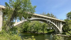 Bridge No. 560listed 2004
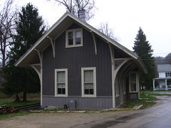 Cornwall Bridge Railroad Stationlisted 1972
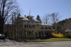 Stephen and Helen Foster Houselisted 2017
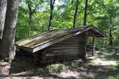 Red Mountain Shelterlisted 1986
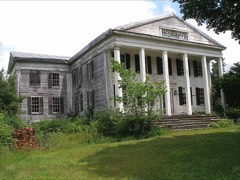 Rumsey Halllisted 1990
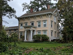 Maj. Gen. John Sedgwick Houselisted 1992
- Steward's House, Foreign Mission Schoollisted 2016
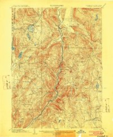
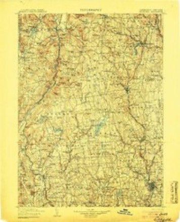
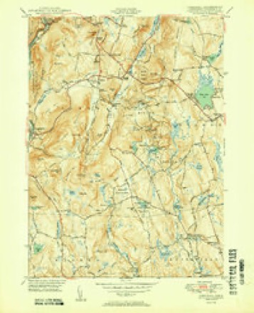
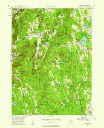
Topographic sheets covering this place
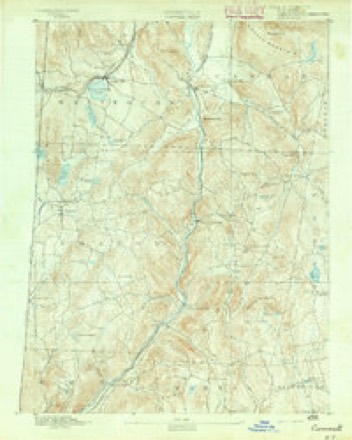
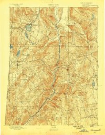
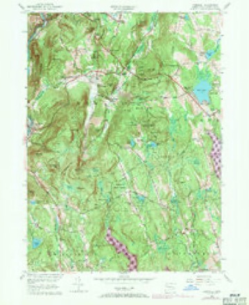
14 surveys from 35 printed sheetsMatched by testing this settlement's coordinate against the published boundary of every sheet in the United States Geological Survey's historical collection. Each opens the scanned sheet at the Survey.
- 1892 USGS Cornwall quadrangle1:62500
- 1893 USGS Cornwall quadrangle1:62500, 3 printings
- 1903 USGS Cornwall quadrangle1:62500, 9 printings
- 1904 USGS Litchfield quadrangle1:125000, 3 printings
- 1947 USGS Hartford quadrangle1:250000, 2 printings
- 1948 USGS Hartford quadrangle1:250000, 2 printings
- 1950 USGS Cornwall quadrangle1:31680, 2 printings
- 1956 USGS Cornwall quadrangle1:31680
- 1956 USGS Cornwall quadrangle1:24000, 4 printings
- 1961 USGS Hartford quadrangle1:250000
- 1962 USGS Hartford quadrangle1:250000, 3 printings
- 1965 USGS Hartford quadrangle1:250000, 2 printings
- 1985 USGS Waterbury quadrangle1:100000
- 1993 USGS Waterbury quadrangle1:100000





In the county-history sources
11,604 words on this townshipHistory of Litchfield County, Connecticut, published 1881 names this settlement in its chapter on Cornwall Town. These are the passages that mention it, exactly as the scans read.
Cornwall lies northwest of the centre of the county, and is bounded as follows : on the north by- Canaan, on the east by Goshen, on the south by Warren and Kent, and on the west by the Housatonic River, which separates it from Sharon. The surface consists mainly of deep valleys and high hills or mountains. Although one of the most mountainous sections in the State, its soil is very fertile and productive.
Passage source: History of Litchfield County, Connecticut, published 1881.
TOM WARRUPS. I " This noble old Indian warrior died in Cornwall early in the present I century, and wjis well known throughout the township. In his old age I his hair became pei-fectly white, and his visits to all parts of the town were frequent and acceptable, while bis witty pleasantries were long remembered. He was of the Scliaghticoke tribe, but he became a resident of Cornwall in bis early life. In the Revolutionary war he enlisted into a company commanded by Edward Rogers, Esq., as captain, of which Loyal Tanner was lieutenant; this company was in the battle of Long Island, and shared in all the disastrous results in that conflict, and in the perils attending the retreat of the army from New York. Tom was always spoken of by bis surviving comrjides as a brave and daring soldier, ready for every duty and danger required by the service.
Passage source: History of Litchfield County, Connecticut, published 1881.
James Douglas was brother of Benajah, an original proprietor in Cornwall, but who settled in North Canaan, being the ancestor of the Douglas family in that town, and great-grandfather of the distinguished senator, Stephen Arnold Douglas.
Passage source: History of Litchfield County, Connecticut, published 1881.
Machine-read from a century-old scan, so expect the errors a machine makes: misspelled names, dropped words, stray characters.
Read the whole chapter on Cornwall Town - it names this place 57 more 57 times.
Fires near this place
66 since 1992Regional context, not property-specific evidence. The federal wildfire occurrence database lists 66 fires within 5 miles of Cornwall between 1992 and 2020, burning about 527 acres in total. 3 started naturally. 4 were recorded as arson. Distance is straight-line from the map coordinates, so a fire counted here may appear on a neighbouring settlement's page as well.
| Reported cause | Fires |
|---|---|
| Missing data/not specified/undetermined | 48 |
| Recreation and ceremony | 5 |
| Debris and open burning | 4 |
| Arson/incendiarism | 4 |
| Natural | 3 |
| Equipment and vehicle use | 1 |
| Railroad operations and maintenance | 1 |
The most recent of them, most recent first, with the day each was reported and the service that recorded it.
| Date | Cause | Size | Reported by | Name on the report |
|---|---|---|---|---|
| 3 September 2020 | Missing data/not specified/undetermined | under an acre | Connecticut Division of Forestry | 380 TOWN STREET |
| 28 September 2015 | Missing data/not specified/undetermined | 2.0 acres | Connecticut Division of Forestry | not named |
| 25 September 2020 | Missing data/not specified/undetermined | under an acre | Connecticut Division of Forestry | 263 W HYPERDALE DRIVE |
| 10 September 2016 | Natural | 384 acres | Connecticut Division of Forestry | 157 FLAT ROCKS ROAD CORNWALL (FLAT ROCK FIRE) |
| 1 September 2006 | Missing data/not specified/undetermined | 1.0 acres | Connecticut Division of Forestry | not named |
| 5 August 2020 | Missing data/not specified/undetermined | under an acre | Connecticut Division of Forestry | KENT ROAD (RT 7) |
| 4 August 1999 | Natural | 1.0 acres | Connecticut Division of Forestry | not named |
| 3 August 1993 | Arson/incendiarism | 2.0 acres | Connecticut Division of Forestry | not named |
Settlements close enough to share some of these fires:
Mines and quarries near this place
10 of 16 shownRegional context, not property-specific evidence. The federal mineral resources record lists 16 workings within 5 miles of Cornwall: 13 past producers, 3 prospects. None of them still produces. What was taken out: Granite, Nickel, Feldspar, Mica, Stone, Dimension. Distance is straight-line from the map coordinates, so a quarry counted here may appear on a neighbouring settlement's page as well.
| Where | Site | Commodity | Status | Recorded |
|---|---|---|---|---|
| Buck Hill Magnetite Mine | Iron | Prospect | Magnetite | |
| Gold Mine | Gold | Past Producer | ||
| Graphite Mines | Graphite | Past Producer | ||
| Kaolin Mine | Kaolin | Past Producer | ||
| Limestone Quarries | Limestone, Dimension | Past Producer | ||
| Silver Mine | Silver | Past Producer | ||
| Benedict Granite Gneiss Rock Quarry | Stone, Dimension | Past Producer | Unknown | |
| Benedict Quarry | Granite | Past Producer | ||
| Gneiss Rock Quarry No. Ei-004 | Stone | Past Producer | Gneiss | |
| Gneiss Rock Quarry No. Fi-012 | Stone | Past Producer | Unknown |
Storms near this place
16 since 1995Regional context, not property-specific evidence. The National Weather Service names Cornwall in 16 storm reports between 1995 and 2024: 9 thunderstorm wind, 6 hail, 1 flash flood. No death or injury is recorded in these reports. Each account below is quoted exactly as the forecast office filed it, from the NOAA Storm Events Database, and each date opens the federal record of that event.
| When | Event | Place named | Harm | What the report says |
|---|---|---|---|---|
| August 2017 | Flash Flood | Cornwall | $5,000 | Four to six inches of water on Route 125 led to a road closure. Part of the road was also washed out. |
| July 2003 | Thunderstorm Wind | West Cornwall | $1,000 | A large upper air trough dug across the western Great Lakes on Monday, July 21. At the surface, a deep low pressure area moved across the eastern Great Lakes, driving a warm front across southern New England by the evening. The air became very unstable in the warm air mass behind the front. The remnants of a line of destructive storms in eastern New York worked into Litchfield county during the evening hours. One storm became severe as it blew trees and wires down in the town of West Cornwall. |
| June 2024 | Thunderstorm Wind | Cornwall | - | Trees were downed onto wires in Cornwall resulting in widespread power outages. |
| May 2015 | Thunderstorm Wind | West Cornwall | - | Wires were reported down one mile north of West Cornwall due to thunderstorm winds. |
| July 2014 | Thunderstorm Wind | West Cornwall | - | Wires were reported down on Dibble Hill Road in Cornwall due to thunderstorm winds. |
| July 2014 | Thunderstorm Wind | Cornwall | - | Trees and wires were reported down in Cornwall Center due to thunderstorm winds. |
| July 2012 | Hail | Cornwall | - | Quarter sized hail was reported during a thunderstorm at Mohawk Mountain Ski Area. |
| July 2012 | Hail | Cornwall | - | Quarter sized hail was reported during a thunderstorm in Cornwall. |
| May 2009 | Hail | Cornwall | - | Nickel size hail was reported near Cornwall during a thunderstorm. |
| August 2006 | Thunderstorm Wind | West Cornwall | - | Fire and Rescue personnel reported that trees were blown down onto Route 7 closing the road in West Cornwall. |
| April 1995 | Thunderstorm Wind | Cornwall | - | Power lines were knocked down. |
| July 2005 | Thunderstorm Wind | Cornwall | - | no account filed |
| July 2005 | Thunderstorm Wind | Cornwall | - | no account filed |
| May 2002 | Hail | Cornwall | - | no account filed |
| May 2002 | Hail | Cornwall | - | no account filed |
| July 1999 | Hail | Cornwall | - | no account filed |
Nearest settlements
The eight closest, with where each one stands in the county. Distances are straight-line, computed from the Geographic Names Information System coordinates.
| Map | Place | Distance | Sheets |
|---|---|---|---|
| Corner of the Pines | 0.3 miles | 35 | |
| North Cornwall | 2.0 miles | 35 | |
| West Cornwall | 2.6 miles | 35 | |
| East Cornwall | 2.6 miles | 35 | |
| Cornwall Bridge | 2.8 miles | 35 | |
| Tyler Lake Heights | 3.1 miles | 35 | |
| Calhoun Corners | 3.9 miles | 35 | |
| West Goshen | 4.3 miles | 35 |
Elsewhere
Matched on this settlement's Geographic Names Information System number rather than its name, so it cannot be a different place of the same name in another state.
| Wikipedia article on Cornwall | An encyclopaedic summary. Its text is share-alike, so it is linked here rather than copied. |
| Wikidata item Q106630336 | The structured record the population and elevation above come from. Public domain (CC0). |
Provenance
This settlement is recorded in the Geographic Names Information System as feature 206463. The sheet list is computed by point-in-boundary test against the United States Geological Survey's historical topographic inventory. Both are works of the United States government and carry no copyright under 17 U.S.C. 105.
Wildfire. Short, Karen C. 2022. Spatial wildfire occurrence data for the United States, 1992-2020 [FPA_FOD_20221014]. 6th Edition. Fort Collins, CO: Forest Service Research Data Archive. https://doi.org/10.2737/RDS-2013-0009.6 Collected with United States Government funding and usable without additional permissions or fees.
Mines and quarries. USGS Mineral Resources Data System (MRDS) https://mrdata.usgs.gov/mrds/ A work of the United States government, no copyright under 17 U.S.C. 105.
Storms. NOAA National Centers for Environmental Information, Storm Events Database https://www.ncei.noaa.gov/stormevents/ A work of the United States government, no copyright under 17 U.S.C. 105. Narratives are quoted verbatim from the National Weather Service report and are not edited or summarised.