 Block
Massapeag, Connecticut
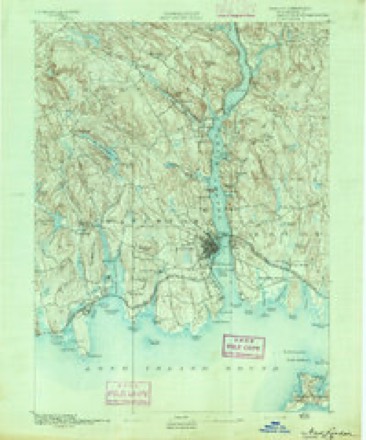
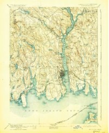
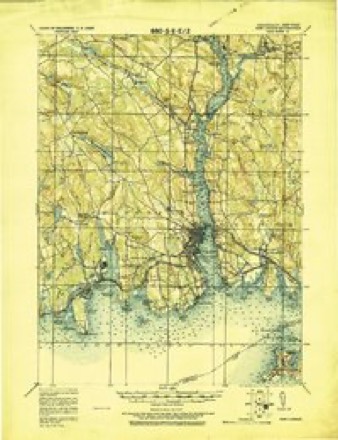
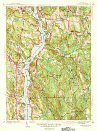
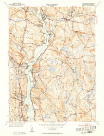
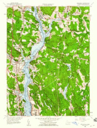
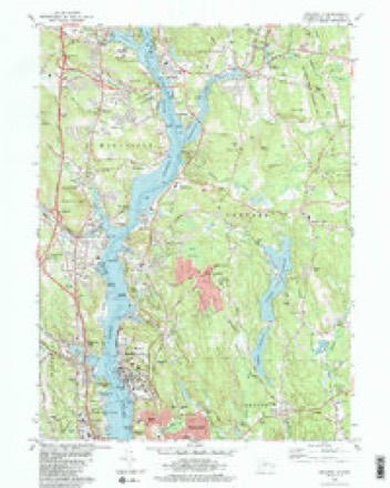
33 topographic sheets cover this place, the earliest surveyed in 1892 and the latest in 1984. It stands in Montville town. It lies in ZIP code area 06382. It stands on Indian Creek. The Survey maps it on the Uncasville quadrangle.
Topographic sheets covering this place
13 surveys from 33 printed sheetsMatched by testing this settlement's coordinate against the published boundary of every sheet in the United States Geological Survey's historical collection. Each opens the scanned sheet at the Survey.
- 1892 USGS New London quadrangle1:62500
- 1893 USGS New London quadrangle1:62500, 10 printings
- 1921 USGS New London quadrangle1:62500
- 1941 USGS Uncasville quadrangle1:31680, 2 printings
- 1947 USGS Hartford quadrangle1:250000, 2 printings
- 1948 USGS Hartford quadrangle1:250000, 2 printings
- 1952 USGS Uncasville quadrangle1:31680, 2 printings
- 1958 USGS Uncasville quadrangle1:24000, 3 printings
- 1961 USGS Hartford quadrangle1:250000
- 1962 USGS Hartford quadrangle1:250000, 3 printings
- 1965 USGS Hartford quadrangle1:250000, 2 printings
- 1983 USGS New Haven quadrangle1:100000, 2 printings
- 1984 USGS Uncasville quadrangle1:24000, 2 printings






In the county-history sources
17,257 words on this townshipHistory of New London County, Connecticut, with Biographical Sketches of Many of Its Pioneers and Prominent Men, published 1882 names this settlement in its chapter on Montville Town. These are the passages that mention it, exactly as the scans read.
In 1819, Rev. J. N. Moffitt preached at Mohegan and Trading Cove for a season, at which time a great religious awakening was prevalent in that vicinity, and its influence extended throughout the town. John Tuttle, then residing in Mohegan, near Trading Cove, his mother, and seven brothers and sisters were among the converts of this revival. During the years 1820 and 1821, Rev. Lewis Bates baptized five or six persons in the cove near Uncasville, and several more at Massapeag. Lucy Smith and Thomas Rogers were among the number that united with the church during the two years. Mr. Bates probably formed the first class at Massapeag.
Passage source: History of New London County, Connecticut, with Biographical Sketches of Many of Its Pioneers and Prominent Men, published 1882.
The most important stream is called Oxoboxo, and takes its rise in the northwest part of the town. On this stream are located all the large mills. It was formerly called Saw-Mill Brook, and at first only saw-mills were built upon the stream. It continued to be called Saw-Mill Brook down to about 1825, when Lorenzo Dow gave to the pond at the head of the stream the name Oxoboxo. This name is derived from the original name given by the Indians, who called it " Opsobosket." Its general course from its source is southeasterly, and runs into a cove which makes up from the river Thames, and extends westerly about three-fourths of a mile. Thi.s cove was called by the Indians Massapeag.
Passage source: History of New London County, Connecticut, with Biographical Sketches of Many of Its Pioneers and Prominent Men, published 1882.
Machine-read from a century-old scan, so expect the errors a machine makes: misspelled names, dropped words, stray characters.
Fires near this place
47 since 1992Regional context, not property-specific evidence. The federal wildfire occurrence database lists 47 fires within 5 miles of Massapeag between 1992 and 2020, burning about 98 acres in total. None started naturally. 6 were recorded as arson. Distance is straight-line from the map coordinates, so a fire counted here may appear on a neighbouring settlement's page as well.
| Reported cause | Fires |
|---|---|
| Missing data/not specified/undetermined | 23 |
| Debris and open burning | 6 |
| Arson/incendiarism | 6 |
| Misuse of fire by a minor | 4 |
| Recreation and ceremony | 3 |
| Smoking | 3 |
| Equipment and vehicle use | 2 |
The most recent of them, most recent first, with the day each was reported and the service that recorded it.
| Date | Cause | Size | Reported by | Name on the report |
|---|---|---|---|---|
| 29 August 2007 | Arson/incendiarism | under an acre | Connecticut Division of Forestry | not named |
| 27 August 2017 | Missing data/not specified/undetermined | under an acre | Connecticut Division of Forestry | STODDARD HILL STATE PARK |
| 11 August 2007 | Arson/incendiarism | under an acre | Connecticut Division of Forestry | not named |
| 1 August 1999 | Misuse of fire by a minor | 3.0 acres | Connecticut Division of Forestry | not named |
| 5 July 2002 | Smoking | under an acre | Connecticut Division of Forestry | not named |
| 25 July 2016 | Missing data/not specified/undetermined | 4.2 acres | Connecticut Division of Forestry | 983 LONG COVE RD |
| 21 July 2016 | Missing data/not specified/undetermined | 2.0 acres | Connecticut Division of Forestry | WHALEHEAD ROAD LEDYARD |
| 18 July 2008 | Missing data/not specified/undetermined | under an acre | Connecticut Division of Forestry | not named |
Settlements close enough to share some of these fires:
Mines and quarries near this place
10 of 31 shownRegional context, not property-specific evidence. The federal mineral resources record lists 31 workings within 5 miles of Massapeag: 25 past producers, 3 producers, 2 plants, 1 unknown. 5 still produce. What was taken out: Stone, Dimension, Sand and Gravel, Construction, Stone, Granite. Distance is straight-line from the map coordinates, so a quarry counted here may appear on a neighbouring settlement's page as well.
| Where | Site | Commodity | Status | Recorded |
|---|---|---|---|---|
| Kaolin Mine | Kaolin | Past Producer | ||
| Alaskite Gneiss Rock Quarry No. Ak-002 | Stone, Crushed/Broken | Past Producer | ||
| Alaskite Gneiss Rock Quarry No. Ak-003 | Stone, Crushed/Broken | Past Producer | ||
| Richards Quarry | Granite | Past Producer | ||
| Scott Quarry | Granite | Past Producer | ||
| Stoddard Quarry | Granite | Past Producer | ||
| Alaskite Gneiss Rock Quarry No. Ak-004 | Stone | Past Producer | ||
| Biotite Muscovite Schist Rock Quarry No. Aj-018 | Stone | Past Producer | ||
| Gneiss Rock Quarry No. Ak-001 | Stone | Past Producer | Gneiss | |
| Gneiss Rock Quarry No. Ak-008 | Stone | Past Producer | Gneiss |
Storms near this place
1 since 2012Regional context, not property-specific evidence. The National Weather Service names Massapeag in 1 storm report in 2012: 1 flash flood. No death or injury is recorded in these reports. Each account below is quoted exactly as the forecast office filed it, from the NOAA Storm Events Database, and each date opens the federal record of that event.
| When | Event | Place named | Harm | What the report says |
|---|---|---|---|---|
| June 2012 | Flash Flood | Massapeag | - | Route 12 at Stoddards Wharf Rd. in Massapeag was closed due to flooding. |
Nearest settlements
The eight closest, with where each one stands in the county. Distances are straight-line, computed from the Geographic Names Information System coordinates.
| Map | Place | Distance | Sheets |
|---|---|---|---|
| Kitemaug | 0.9 miles | 33 | |
| Allyn Point | 1.1 miles | 33 | |
| Fitch Corner | 1.3 miles | 33 | |
| Happyland | 1.4 miles | 33 | |
| Mohegan | 1.6 miles | 33 | |
| Gales Ferry | 1.9 miles | 33 | |
| Uncasville | 2.2 miles | 33 | |
| Palmertown | 2.7 miles | 33 |
Provenance
This settlement is recorded in the Geographic Names Information System as feature 212501. The sheet list is computed by point-in-boundary test against the United States Geological Survey's historical topographic inventory. Both are works of the United States government and carry no copyright under 17 U.S.C. 105.
Wildfire. Short, Karen C. 2022. Spatial wildfire occurrence data for the United States, 1992-2020 [FPA_FOD_20221014]. 6th Edition. Fort Collins, CO: Forest Service Research Data Archive. https://doi.org/10.2737/RDS-2013-0009.6 Collected with United States Government funding and usable without additional permissions or fees.
Mines and quarries. USGS Mineral Resources Data System (MRDS) https://mrdata.usgs.gov/mrds/ A work of the United States government, no copyright under 17 U.S.C. 105.
Storms. NOAA National Centers for Environmental Information, Storm Events Database https://www.ncei.noaa.gov/stormevents/ A work of the United States government, no copyright under 17 U.S.C. 105. Narratives are quoted verbatim from the National Weather Service report and are not edited or summarised.