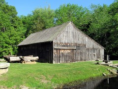
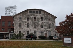
BlockBefore

New London County, Connecticut

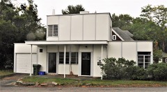
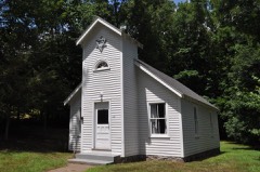
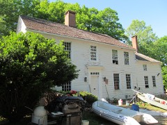
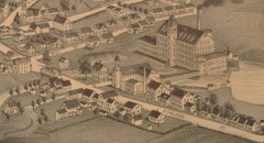
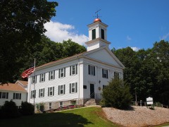
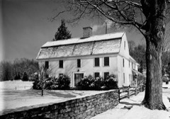
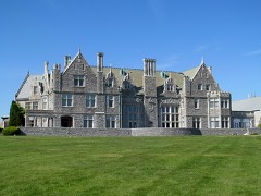
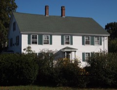
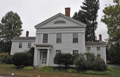
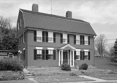
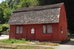
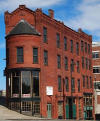
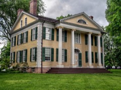
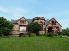
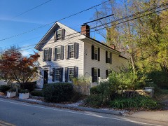
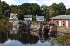
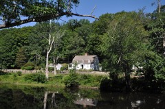
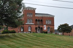
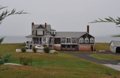
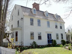
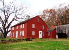
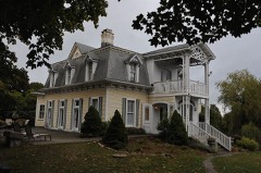
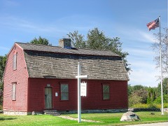
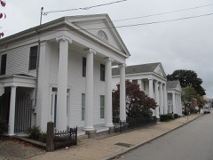
264 topographic sheets cover 141 settlements here, and 197 properties are on the National Register of Historic Places.

Research this county

From the record

197 National Register listings published here, 9 of them National Historic Landmarks · the county-history sources name 2 people · people the book names include David Rogers (Waterford Town, 1882) · Captain Stevens Rogers (Lyme Town, 1890) (machine-read).

Sources: the county history on the Internet Archive · the National Register database, National Park Service

Connecticut within the United States
New London County within Connecticut

What the record shows

  • 4,430 topographic sheet readings cover the county's settlements.
  • 197 properties here are on the National Register of Historic Places: 115 buildings, 61 districts, 16 structures, 4 sites and 1 object.
  • 65 of the 197 listings were added during the 1970s.
  • The Geographic Names Information System records 144 populated places in this county; 141 are covered by at least one topographic sheet.
  • 4 public-domain county histories, 1882 to 1922, supply 294,525 words of narrative reproduced here.

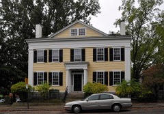
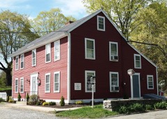
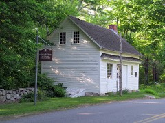
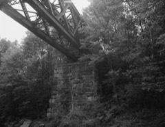
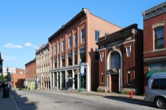
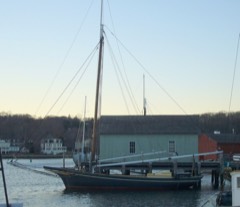
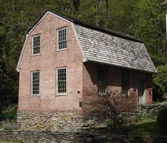
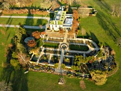
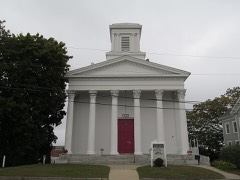
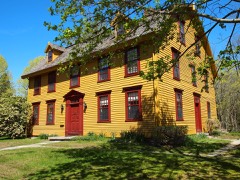
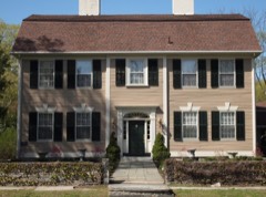
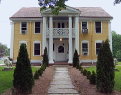
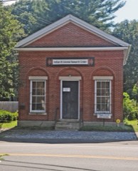
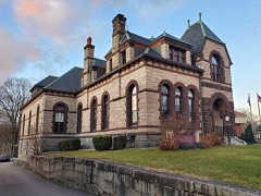
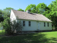
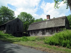
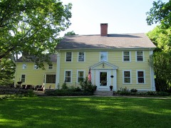
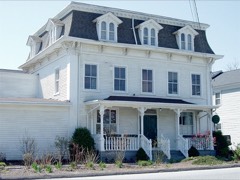
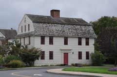
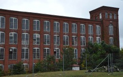
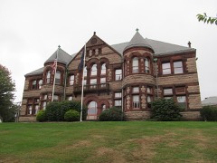
Places on the National Register

197

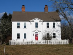
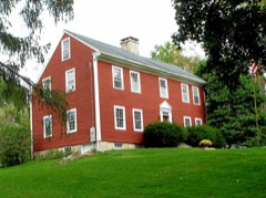
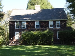
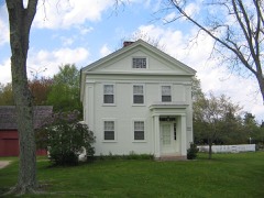
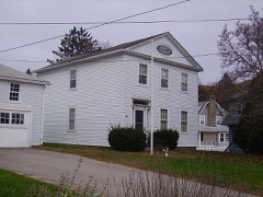
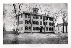
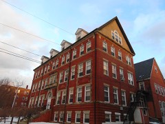
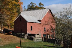
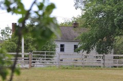
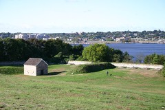
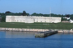
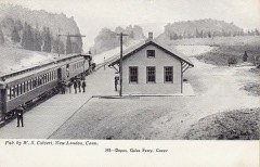
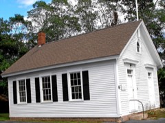
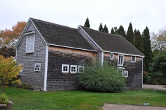
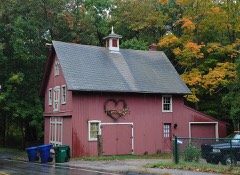
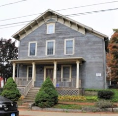
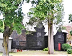
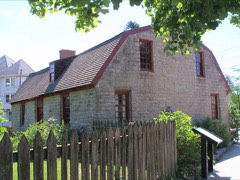
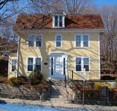
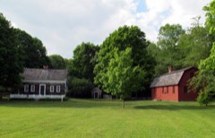
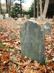
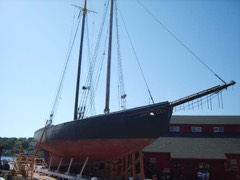
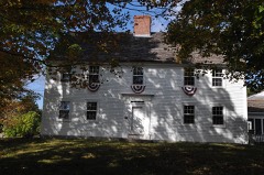
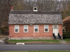
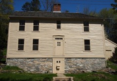
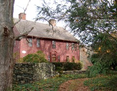
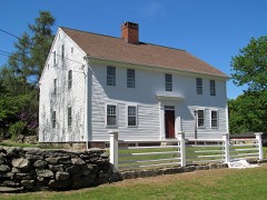
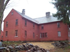
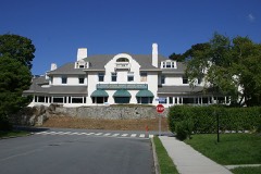
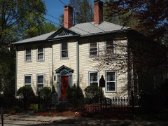
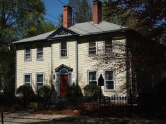
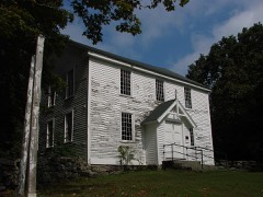
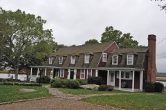
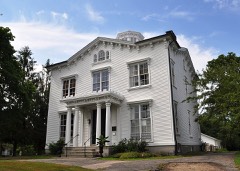
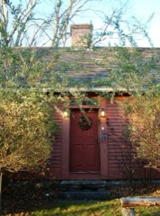
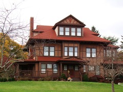
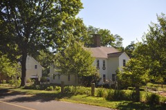
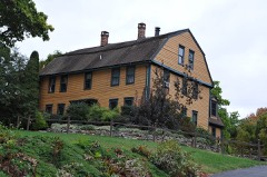
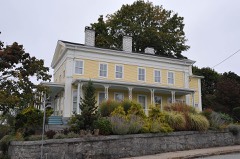
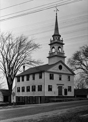
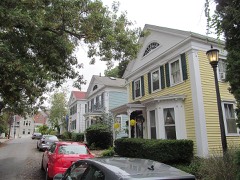
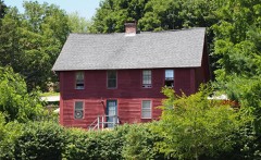
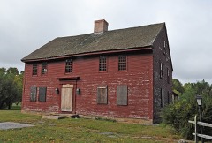
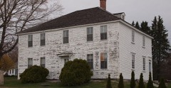
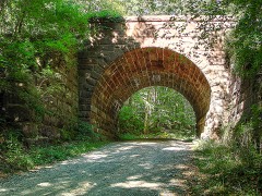
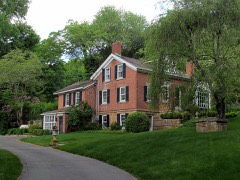
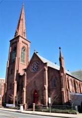
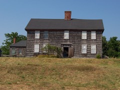
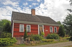
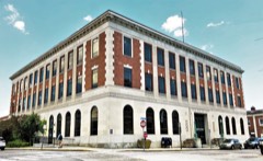
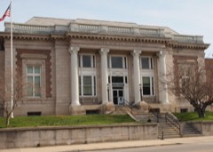
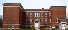
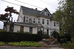
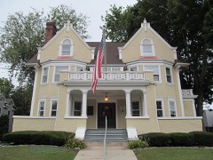
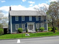
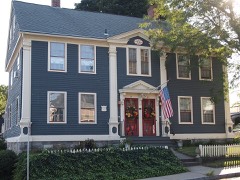
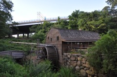
Every property in this county listed on the National Register of Historic Places, with the year it was listed and the federal nomination document.

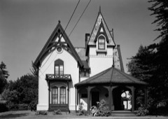
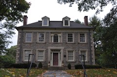
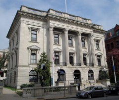
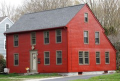
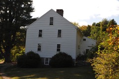
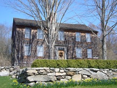
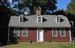
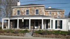
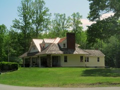
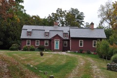
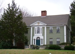
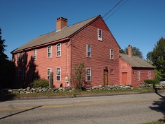
Photograph PropertyType ListedReference
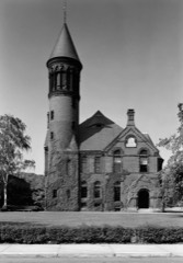
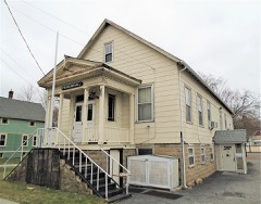
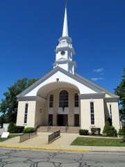
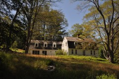
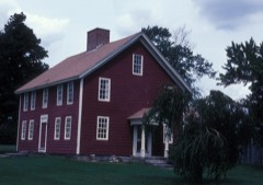
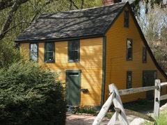
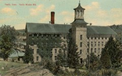
American Thermos Bottle Company Laurel Hill Plantdistrict198988003091
Winslow Ames Housebuilding199595000283
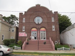
Anshei Israel Synagoguebuilding199595000861
Antone DeSant Housesbuilding2025100012215
Applewood Farmbuilding198787001765
Ashland Mill Bridgestructure99000407
Ashlawnbuilding197979002649
Avery Homesteadbuilding199292001641
Avery Housebuilding198686001726
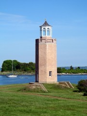
Avery Point Lighthousestructure200202000866
Thomas Avery Housebuilding197979002637
Nathaniel Backus Housebuilding197070000715
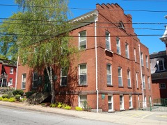
Bacon Academybuilding198282004364
Baltic Historic Districtdistrict198787001247
Acors Barns Housebuilding197676001992
Bean Hill Historic Districtdistrict198282001006
Gurdon Bill Storebuilding198282004368
Blackledge River Railroad Bridgestructure198686002109
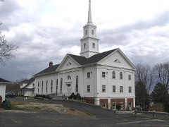
Bozrah Congregational Church and Parsonagebuilding199191000952
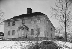
Bradford-Huntington Housebuilding197070000720
Branford Housebuilding198484001158
Brewster Homesteadbuilding200000001561
Bridge No. 1860structure199393000644
Broad Street Schoolbuilding198484001162
William A. Buckingham Housebuilding198282004379
Bulkeley Schoolbuilding198181000613
Burnett's Corner Historic Districtdistrict199797001468
Burnham Tavernbuilding2022100007297
CHARLES W. MORGANstructure196666000804
Carpenter Housebuilding197070000721
Joseph Carpenter Silversmith Shopbuilding197070000722
Carroll Buildingbuilding198282001007
Cedar Grove Cemeterydistrict2024100010932
Central Vermont Railroad Pierstructure200504001551
Henry Champion Housebuilding197272001323
David Chapman Farmsteadbuilding199292001642
Capt. Richard Charlton Housebuilding197070000723
Chelsea Parade Historic Districtdistrict198988003215
Civic Institutions Historic Districtdistrict199090000602
Clark Homesteadbuilding197878002875
Andrew Clark Housebuilding197979002636
Edward Cogswell Housebuilding199393001378
Coit Street Historic Districtdistrict198888000068
Colchester Village Historic Districtdistrict199494000254
Converse House and Barnbuilding197070000716
Deshon-Allyn Housebuilding197070000700
Downtown New London Historic Districtdistrict197979002665
Downtown New London Historic District (Boundary Increase)district198888000070
Downtown Norwich Historic Districtdistrict198585000707
EMMA C. BERRY (Fishing Sloop)structure199494001649
East District Schoolbuilding197070000717
Eastern Point Historic Districtdistrict197908000499
Edward Bloom Silk Company Factorybuilding2021100006266
Eolia-Harkness Estatedistrict198686003331
Capt. Thomas Fanning Farmsteadbuilding199292001643
Abel H. Fish Housebuilding198282004381
Fort Griswoldsite197070000694
Fort Trumbullbuilding197272001333
Gales Ferry Historic District No. 1district199292001639
Gales Ferry Historic District No. 2district200202000865
William Gorton Farmbuilding198484001166
Graniteville Historic Districtdistrict200303000812
Greeneville Historic Districtdistrict200505001047
Florence Griswold House and Museumbuilding199393001604
Groton Bank Historic Districtdistrict198383001287
Hadlyme Ferry Historic Districtdistrict199494001444
Hallville Mill Historic Districtdistrict199696000913
Hamburg Bridge Historic Districtdistrict198383001288
Jonathan Newton Harris Housebuilding198282004375
Hartford Colonydistrict200504000414
Hayward Housebuilding197272001325
Hempstead Historic Districtdistrict198686002112
Joshua Hempstead Housebuilding197070000701
Nathaniel Hempsted Housebuilding197070000702
Hodges Square Historic Districtdistrict2017100001733
House at 130 Mohegan Avenuebuilding200908001379
Huntington Street Baptist Churchbuilding198282004377
Col. Joshua Huntington Housebuilding197272001343
Gen. Jedidiah Huntington Housebuilding197070000724
Gov. Samuel Huntington Housebuilding197070000725
Jail Hill Historic Districtdistrict199999000431
Jordan Village Historic Districtdistrict199090001289
Kinne Cemeterysite200101000351
L. A. DUNTONstructure199393001612
Lamb Homesteadbuilding199191001175
Dr. Daniel Lathrop Schoolbuilding197070000726
Dr. Joshua Lathrop Housebuilding197070000727
Lathrop-Mathewson-Ross Housebuilding198282004370
Laurel Hill Historic Districtdistrict198787000516
Lebanon Green Historic Districtdistrict197979002666
Thomas Lee Housebuilding197070000693
Leffingwell Innbuilding197070000728
Nathan Lester Housebuilding197272001328
Timothy Lester Farmsteadbuilding199898001441
Lighthouse Innbuilding199696000822
Little Plain Historic Districtdistrict197070000718
Little Plain Historic District (Boundary Increase)district198786003541
Long Society Meetinghousebuilding197676001996
Capt. Enoch Lord Housebuilding200707000418
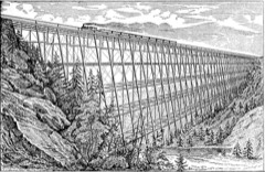
Lyman Viaductstructure198686002729
Main Sawmilldistrict197272001332
Mechanic Street Historic Districtdistrict198888000653
James Merrill Housebuilding201313000618
Mill Brook Bridgestructure199796001498
Samuel Miner Housebuilding197676001995
Montauk Avenue Historic Districtdistrict199090001910
Monte Cristo Cottagebuilding197171001010
Mystic Bankbuilding201414000476
Mystic Bridge Historic Districtdistrict197979002671
Mystic River Historic Districtdistrict197979002728
New England Hebrew Farmers of the Emanuel Society Synagogue and Creamery Sitesite201212000039
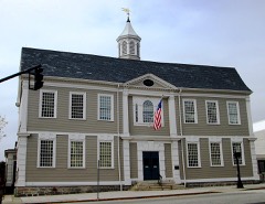
New London County Courthousebuilding197070000705
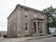
New London Customhousebuilding197070000706
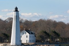
New London Harbor Lighthousestructure199089001470
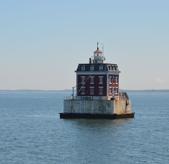
New London Ledge Lighthousestructure199089001471
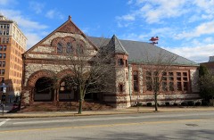
New London Public Librarybuilding197070000712
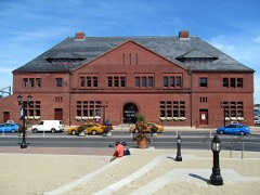
New London Railroad Stationbuilding197171000913
Noank Historic Districtdistrict197979002656
North Stonington Village Historic Districtdistrict198383001289
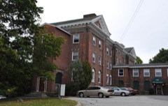
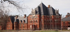
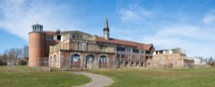
Norwich Hospital Districtdistrict198887002424
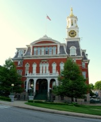
Norwich Town Hallbuilding198383003589
Norwichtown Historic Districtdistrict197373001951
William Noyes Farmsteadbuilding199292001644
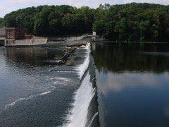
Occum Hydroelectric Plant and Damstructure199696001459
Ohev Sholem Synagoguebuilding199595000562
Oil Mill Historic Districtdistrict2023100008593
Old Lyme Historic Districtdistrict197171000916
Oswegatchie Historic Districtdistrict200505001043
Capt. Nathaniel B. Palmer Housebuilding199696000971
John Palmer Housebuilding200504001461
Luther Palmer Housebuilding197908000498
Park, William, Housebuilding200707000106
Peck Tavernbuilding198282004380
Pequot Colony Historic Districtdistrict198888002692
Pequotsepos Manorbuilding197979002650
Perkins-Bill Housebuilding200000000817
Perkins-Rockwell Housebuilding198585003144
Morton Freeman Plant Hunting Lodgebuilding198888002691
Poquetanuck Village Historic Districtdistrict199696000912
Post Hill Historic Districtdistrict199393000812
Preston City Historic Districtdistrict198787000452
Prospect Street Historic Districtdistrict198686002114
Quaker Hill Historic Districtdistrict200202000337
John Randall Housebuilding197878002877
Raymond-Bradford Homesteadbuilding198282004372
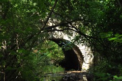
River Road Stone Arch Railroad Bridgestructure198686002727
Rocky Neck Pavilionbuilding198686001745
Rossie Velvet Mill Historic Districtdistrict200707000110
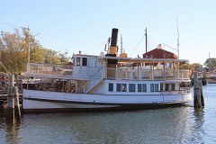
SABINO (steamer)structure199292001887
Salem Historic Districtdistrict198080004063
Shaw Mansionbuilding197070000713
Shepherd of the Sea Chapelbuilding2025100011538
Slater Library and Fanning Annexbuilding200201001529
Jabez Smith Housebuilding198181000615
Samuel Smith Housebuilding197979002668
Shubel Smith Housebuilding199696001462
Springbanksite200101000880
St. James' Episcopal Churchbuilding200490001098
Robert Stanton Housebuilding197979002648
Capt. Mark Stoddard Farmsteadbuilding199292001640
Stonington Borough Historic Districtdistrict197908000497
Stonington Cemeterydistrict2018100002321
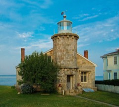
Stonington Harbor Lighthousebuilding197676002000
Stonington High Schoolbuilding197878002880
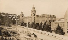
Taftvilledistrict197878002878
Telephone Exchange Buildingbuilding198383003590
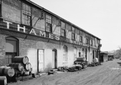
Thames Shipyardbuilding197575001939
The Seasidebuilding199595001007
Simon Tiffany Housebuilding198383001290
John Trumbull Birthplacebuilding196666000883
Dr. Philip Turner Housebuilding197070000729
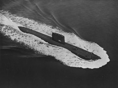
U.S.S. NAUTILUS (submarine)object197979002653
US Post Office-New London Mainbuilding198686000124
US Post Office-Norwich Mainbuilding198686002271
Uncasville Mill Historic Districtdistrict2021100006732
Uncasville Schoolbuilding200100001327
United States Housing Corporation Historic Districtdistrict199090000603
Edward Waldo Housebuilding197878002879
Walnut Grovedistrict200505001044
War Officebuilding197070000695
Whale Oil Rowdistrict197070000714
Wheeler Blockbuilding199393000312
Whitehall Mansionbuilding197979002647
William Clark Company Thread Milldistrict200808001190
Williams Memorial Institutebuilding197878002876
Williams Memorial Park Historic Districtdistrict198787002057
William Williams Housebuilding197171001012
John Wilson Housebuilding198585001827
Winthrop Millbuilding198282001008
Woodbridge Farmbuilding199797001467
Ashbel Woodward Housebuilding199292000264
Nathan A. Woodworth Housebuilding198282004378
Yantic Falls Historic Districtdistrict197272001344
Yantic Woolen Company Millbuilding199696000780
Edward Yeomans Housebuilding197878002874

Wildfire, 1992 to 2020

575 fires

Every wildfire the federal occurrence database records inside this county: 575 of them, burning about 879 acres. 1 started naturally and 31 were recorded as arson. Each settlement page carries the fires within five miles of it.

Reported cause Fires
Missing data/not specified/undetermined316
Debris and open burning100
Recreation and ceremony62
Arson/incendiarism31
Misuse of fire by a minor23
Smoking22
Power generation/transmission/distribution7
Equipment and vehicle use7
Railroad operations and maintenance4
Fireworks2
Natural1

The five largest, by the area the report gives. Two of them were set deliberately.

DateCause SizeReported by Name on the report
15 April 1992Recreation and ceremony50 acresConnecticut Division of Forestrynot named
2 May 1999Arson/incendiarism50 acresConnecticut Division of Forestrynot named
22 October 1997Debris and open burning40 acresConnecticut Division of Forestrynot named
29 October 2001Missing data/not specified/undetermined30 acresConnecticut Division of Forestrynot named
29 July 2015Missing data/not specified/undetermined30 acresConnecticut Division of Forestrynot named
8 May 1992Recreation and ceremony30 acresConnecticut Division of Forestrynot named
1 May 1993Misuse of fire by a minor15 acresConnecticut Division of Forestrynot named
28 October 2000Arson/incendiarism15 acresConnecticut Division of Forestrynot named

Every settlement page carries the fires within five miles of it - see the settlement index below.

Storms, 1963 to 2025

60 of 355 shown

The NOAA Storm Events Database holds 355 reports for this county, causing 3 deaths, 25 injuries and about $7,872,240 in recorded property damage. Each settlement page carries the reports that name it.

Kind of event Reports
Thunderstorm Wind136
Flash Flood81
Hail62
Flood35
Heavy Rain18
Lightning17
Tornado4
Funnel Cloud2

The most serious of them, by death, then injury, then recorded damage. The accounts are quoted exactly as the forecast office filed them.

WhenEvent Place namedHarm What the report says
September 2017Thunderstorm WindRidgewood1 killed, 1 hurt, $15,000Multiple trees were reported down along Pequot Avenue (just south of New London), including one tree falling onto a car, killing one person and injuring another. There was also minor damage to windows to one building.
August 2015Thunderstorm WindWest Mystic1 killed, $10,000A tree fell on a car along Flanders Road, near U. S. Route 1. The driver, and sole occupant of the vehicle, was killed.
June 1997LightningGriswold1 killedno account filed
June 2012LightningPreston11 hurtTen people were taken to the hospital after lightning struck the restroom they were in, between holes 4 and 13, at Lake of Isles Golf Course in North Stonington.
June 2024LightningVoluntown4 hurtFour people injured by a lightning strike at a Voluntown campsite.
September 2005LightningNiantic2 hurtLightning struck at Rocky Neck State Park during a wedding. Two caterers sustained minor injuries.
July 2017LightningNorth Stonington1 hurtA man was struck by lightning near the cattle barn at the North Stonington Fairgrounds.
August 2016LightningVersailles1 hurtA 14 year old was reported to be struck by lightning at the Sunfox Campground southwest of Lisbon.
May 2014HailJewett City1 hurtA motorcyclist was injured due to falling hail, resulting in some cuts. The accident occurred near the intersection of Routes 138 and I-395, south of Jewett City. ||Hail size was estimated by nearby reports.
July 2008LightningNorwich1 hurtA contractor at Norwich Housing Authority was struck by lightning. The unidentified man was outside behind a building when he or something near him was struck. The man was treated at the scene but not transported to the hospital.
June 2005LightningStonington1 hurtA 48 year old man was struck by lightning as a thunderstorm moved through Stonington. He was working outside when the lightning strike occurred. The man was taken to a hopital in critical condition. It is unknown if the man ulimately survived.
May 2005LightningStonington1 hurtno account filed
August 1997LightningNorwich1 hurtno account filed
March 2010FloodClarks Falls$4,000,000In Stonington and N. Stonington, numerous roads were closed and reports of numerous houses with serious basement flooding, up to 3 ft. high, was received. The intersection of Montauk Ave. and Mistuxet Ave. just outside of Mystic was also closed due to flooding. Several basement offices in Stonington Town Hall on Elm St. were flooded. Floodwaters also caused extensive damage to the bridge over Shunock Brook on Wyassup Rd. between Avery Ln. and Main St., and a historic 150 year old building that houses the Watermark Cafe and the Village Hardware Store. Lantern Hill Rd, Grindstone Hill Rd., Loin Hill Rd. and Pinewoods Rd. were completely washed out and in need of major repairs.
March 2010FloodTaftville$1,100,000Major flooding occurred on the Quinnebaug River at Jewett City. The river crested at 23.26 ft. at 0630 EST on March 31, 2010 and remained above flood stage until the morning of April 1. As a result, roads were damaged by flood waters including, South Main St. A retaining wall was also damaged on School St. A woman nearly electrocuted herself while attempting to unplug a clothes dryer. Water inside the walls of her 24 Wedgewood Dr. apartment caused the wire to become live and she was badly shocked and taken to the hospital. Coincidentally, 13 other apartments were evacuated after the ceilings collapsed inside the first and second-floor apartments. The Jewett City sewage treatment plant also located on Wedgewood Dr. suffered severe flooding and the National Guard was called in to assist in the efforts to keep raw sewage from backing into homes and into the Quinebaug River.
September 2021Flash FloodWequetequock$706,240Heavy rain and flash flooding resulted in uninsured damages of $706,239 across New London County.
March 2010FloodField Crest Estates$500,000In Old Mystic, raging waters from a small stream that empties into the Mystic River tore out a small bridge on Route 184, flooded numerous homes and businesses, such as the Old Mystic General Store, post office and Old Mystic Mill on Main St., as well as trapped cars. Route 27 nearby remained closed and River Rd. was eventually closed as well.||Total rainfall amounts received across New London County ranged from 6.04 in Old Lyme to 8.60 in Mystic.
March 2010FloodEast New London$260,000In Groton, many streams were above bankfull and numerous homes experienced basement flooding.
March 2010FloodGibbs$200,000The Yantic River at Yantic crested at 10.63 feet, which is moderate flooding, at 0515 EST on March 14. Several residents and businesses in Norwich sustained flooding from the swollen river. Property damage amounts listed are estimated.
March 2010FloodPawcatuck$200,000The Pawcatuck River Bridge located on W. Broad St. and the Stillman Ave. Bridge over the Pawcatuck River were closed due to the concern that debris in the raging waters pounding the side of the roadways were damaging the integity and stability of the bridges. Several businesses along the river experienced damage due to flooding.
March 2010FloodHopeville$165,000In the Griswold neighborhood of Jewett City, many roads were damaged by flood waters, including Sheldon Rd., Campbell Rd., Bitgood Rd., Coal Pit Hill Rd., Popple Bridge Rd., Colonel Brown Rd. and Geer Rd. A house sustained damage on Pachaug Pond. and a bridge on Sheldon Rd. was closed because of damage.
July 2008Thunderstorm WindNorthwichtown$100,000A roof was reported being blown of a Condominium.
March 2010FloodNorthwichtown$80,000Major flooding occurred on the Yantic River at Yantic. The river crested at 13.23 ft. on March 30, 2010 at 1600 EST. As a result, West Town St. was closed at several intersections, including Case St., Sholes Ave. and at I-395. Sections of the New London Turnpike were closed as was the Canada Bridge on Sherman Rd. The Yantic Voulnteer Fire Dept. on Yantic Rd. sustained damage due to flood waters.
October 2018Tornado (EF0)Shelton$50,000The EF0 tornado touched down on North Anguilla Road about |three tenths of a mile south of Miner Pentway, then tracked northeast |towards North Anguilla Road at Miner Pentway. Across the properties of |5 homes, over 30 large oak trees were uprooted and downed in a |convergent pattern, as well as numerous large tree limbs broken.||The tornado briefly lifted and then touched down again near the |intersection of Route 184 and Route 2 with a few large oak trees downed |around the traffic circle. The tornado continued east-northeast along |Route 184 for about 350 yards, before turning northeast over Surrey Rd. |Clusters of tree damage, including uprooted oak trees in a convergent |pattern and snapped branches, were noted along this path.||The tornado appears to have briefly lifted before finally touching down and then |dissipating about 800 yards to the northeast of Surrey Rd. This is in |the vicinity of the intersection of Route 49 and Babcock Road, where |numerous trees were uprooted and downed on both sides of the road. |The uprooting and downing of trees from wet grounds and the |nature of tree branch damage was consistent with estimated maximum |winds speeds of 85 mph.
July 2009Flash FloodField Crest Estates$50,000The town of Stonington received 6.5 inches of rain over 4 hours from late morning into the early afternoon hours. ||Around 7:30 pm, the Mystic South Reservoir Dam (also known as the Palmer Dam) in Stonington breached and eroded the banks at the edges of the dam causing overtopping. An unscheduled release of water was performed to protect the integrity of the dam. However, it was later determined that the berm wall was not returned to its normal postition after a release was done the previous week during low flow. This caused more water to be released than anticipated with soil eroding near roads and bridges on S. Broad St. (Rt. 1) downstream. Rt. 1 was closed and several roads such as the intersection of Mistuxet Ave. and Jerry Brown Rd., were damaged. In addition, approximately 50 cars were trapped in several feet of water in the Mystic Aquarium parking lot. Numerous streets were impassable and closed of by local authorities.||Around 10 pm, Silvia's Pond Dam, also in Stonington, overtopped causing flooding downstream, resulting in significant damage to a home on Briar Patch Rd. and the need for local authorities to rescue the family inside. This also prompted evacuations to 2 other homes on this street. A bridge on Collins Road was also damaged from the flood waters.
July 2009Flash FloodWest Mystic$50,000A river bridge on Collins Rd. in North Stonington was flooded, which resulted in damage to the bridge and the road being closed. Noank Rd. in Mystic was closed due to flooding. A river bridge on North Stonington Rd. near Shewville Rd. in North Stonington was flooded and resulted in the road being closed. Approximately 50-60 cars were inundated with water and trapped in the Mystic Aquarium parking lot. Several vehicles were also stuck in high water on Coogan Blvd. near the Mystic Aquarium. A portion of Rt. 1 in Mystic was closed due to flooding. Emergency responders in Stonington pulled an occupied vehicle out of the water in the area of Washington St. and Broadway Ave.
March 2010FloodWequetequock$25,000In Stonington, a bridge on Greenhaven Rd. between Palmer Neck Rd. and Route 1 that spans over what is usually a small creek that flows into the Wequetequock Cove was destroyed by flood waters. A large section of the road was also washed away and several nearby homes were flooded.
March 2010FloodField Crest Estates$20,000A bridge on Shewville Rd. in Groton was washed out.
November 2021Tornado (EF1)Pawcatuck$13,500At approximately 4:54 PM EST on Saturday, November 13th, 2021 a |tornado touched down on Robinson Street in the Pawcatuck |neighborhood of Stonington, Connecticut. Several hardwood trees |were uprooted or snapped about half way up the trunk. A gutter was|ripped off of one home while shutters were ripped off of another.|Several trampolines were lifted, with one becoming stuck on a |powerline approximately 20 feet in the air. On Robinson Street, |crossroad Race Street, a metal shed was lifted and flipped before |being crushed by a large maple branch, with an approximate |diameter of 15 inches. Several street signs were also snapped at |their base.
July 2025LightningLeffingwell$10,000House struck by lightning on Sherwood Lane in Norwich.
June 2024Thunderstorm WindNorthwichtown$10,000Tree down on house on Dalewood drive in Norwich CT. Multiple trees and wires down across Norwich CT.
August 2022Thunderstorm WindFranklin$10,000Law Enforcement reports 12 downed trees near Tyler Drive.
September 2017Thunderstorm WindGroton$10,000Multiple trees were reported down over the western and middle sections of the town. Including a tree falling into a building at 1 Crouch Street, trees down across Eastern Point Road, and a utility pole and wires down on Thames Street.
July 2010Thunderstorm WindColchester$10,000Multiple trees were reported down along State Route 16 in Colchester.
August 2010Lightning(Gon)Groton-New Lndn$10,000Numerous buildings throughout town were struck by lightning.
March 2010FloodField Crest Estates$10,000Numerous roads were closed in Mystic and Pawcatuck due to flooding. In the Birdland neighborhood of Pawcatuck, Route 1 was closed from Spellman Dr. to S. Anguilla Rd. Residents on Milan Terrance experienced basement flooding. In Mystic, Route 1 was closed near Bishop's Cove. Portions of Pequot Trail, Jerry Brown Rd. near the Aquarion Water Co. and Coogan Blvd were also closed. A small bridge on Collins Rd. was also badly damaged from flooding.
July 2009LightningStonington$10,000Several houses in Stonington were struck by lightning, causing some minor house fires.
June 2002LightningNorwich$10,000no account filed
September 2021Thunderstorm WindVersailles$8,000Trees and wires down with a transformer fire.
July 2015Thunderstorm WindNorth Franklin$7,500Multiple trees and wires were reported down on Babcock Hill Road.
June 2015Thunderstorm WindOakdale$7,500Numerous trees were reported down along Route 82.
June 2015Thunderstorm WindColchester$7,500Numerous trees and wires were reported down throughout town.
July 2012Thunderstorm WindVoluntown$7,500Numerous trees were reported down.
July 2012Thunderstorm WindNorth Lyme$7,500Numerous trees were reported down along Keeny Road.
July 2010Thunderstorm WindLedyard Center$7,500Numerous trees and wires were reported down in Ledyard Center.
July 2009Heavy RainGroton Long Pt$7,500A tree was down at 18 Beach Road and 23 Beach Road (into the house) in Groton Long Point due to strong winds and heavy rainfall.
July 2009Thunderstorm WindOld Lyme$7,500Numerous trees were reported down.
June 2020Thunderstorm WindJewett City$6,000Tree down on unoccupied car on Hill Street.
July 2025LightningOccum$5,000Lightning struck an attached garage causing a structure fire.
July 2025Thunderstorm WindHamburg$5,000Trees and wires down in Essex, Lyme, and Old Lyme.
August 2022Thunderstorm WindPreston City$5,000Multiple small trees down.
November 2021Thunderstorm WindWequetequock$5,000Several trees snapped on property and powerlines down on Stonington road.
May 2018Thunderstorm WindFranklin$5,000Multiple trees and wires down between 5:45 and 6 pm on Baltic Road, Old Route 87, and Powder Hill Lane.
September 2017Thunderstorm WindLedyard Center$5,000Multiple trees were reported down throughout town.
February 2016Thunderstorm WindSalem$5,000Multiple trees and power lines were reported down in the town of Salem.
June 2015Thunderstorm WindLyme$5,000Trees and branches were reported down across the town of Old Lyme.
July 2010Thunderstorm WindGilman$5,000Multiple trees were reported down in the Town of Bozrah.
July 2010Thunderstorm WindChestnut Hill$5,000Multiple trees were reported down in Hebron.
August 2010Thunderstorm WindDolpin Gardens$5,000A few small trees were reported down throughout the town of Groton, including one tree being blown down along Poplar Street, bringing down wires with it.
July 2009Thunderstorm WindGroton$5,000A boat was reported overturned at Eastern Point Beach, with minor damage.

Mines and quarries

216 recorded

The Survey's mineral resources record lists 216 workings inside this county. 25 still produce and 191 are closed or unrecorded. Each settlement page carries the workings within five miles of it.

Commodity Workings
Stone, Dimension88
Sand and Gravel, Construction64
Granite30
Stone24
Stone, Crushed/Broken5
Niobium (Columbium), REE1
Silica1
Gold1
Kaolin1
Iron1

The least common of them first, because a county's hundredth gravel pit says nothing its first ten did not.

Where SiteCommodity StatusRecorded
Bog Iron MineIronPast Producer
Flatrock QuarryNiobium (Columbium), REEOccurrenceMonazite, Eschynite
Gold MineGoldPast Producer
Kaolin MineKaolinPast Producer
Lantern Hill QuarrySilicaProducer
Alaskite Gneiss Rock Quarry No. Ak-002Stone, Crushed/BrokenPast Producer
Alaskite Gneiss Rock Quarry No. Ak-003Stone, Crushed/BrokenPast Producer
Lantern Hill QuarryStone, Crushed/BrokenProducer
Lime QuarryStone, Crushed/BrokenPast Producer
QuarryStone, Crushed/BrokenPast Producer
Alaskite Gneiss Rock Quarry No. Aj-019StonePast Producer
Alaskite Gneiss Rock Quarry No. Ak-004StonePast Producer
Alaskite Gneiss Rock Quarry No. Ak-040StonePast Producer
Biotite Gneiss Rock Quarry No. Aj-016StonePast ProducerUnknown
Biotite Granite Gneiss Quarries No. Bk-005StonePast Producer
Biotite Granitic Gneiss Rock Quarry No. Bj-014StoneProducer
Biotite Muscovite Schist Rock Quarry No. Aj-018StonePast Producer
Gabbro Rock Quarry No. Aj-014StonePast Producer
Gabbro Rock Quarry No. Aj-015StonePast Producer
Gneiss Rock Quarries No. Ak-StonePast ProducerGneiss
Gneiss Rock Quarry No. Ak-001StonePast ProducerGneiss
Gneiss Rock Quarry No. Ak-008StonePast ProducerGneiss
Gneiss Rock Quarry No. Ak-009StonePast ProducerGneiss
Gneiss Rock Quarry No. Ak-041StonePast ProducerGneiss
Gneiss Rock Quarry No. Ak-042StonePast ProducerGneiss
Gneiss Rock Quarry No. Ak-047StonePast ProducerGneiss
Gneiss Rock Quarry No. Bj-006StonePast ProducerHornblende
Gneiss Rock Quarry No. Bj-007StonePast ProducerHornblende
Gneiss Rock Quarry No. Bj-008StonePast ProducerHornblende
Granite Rock Quarry No. Ak-016StonePast ProducerGranite
Granitic Gneiss Rock Quarry No. Bk-004StonePast ProducerGneiss
Quartz Monzonite Gneiss Rock Quarry No. Bj-009StonePast Producer
Quartz Monzonite Rock Quarry No. Aj-016StonePast ProducerUnknown
Quartzite and Gneiss Rock Quarry No. Ak-007StonePast ProducerGneiss
Biotite Granitic Gneiss Rock QuarryGranitePast Producer
Comstock ProspectGraniteProspect
Eckerlein QuarriesGranitePast Producer
Flat Rock QuarriesGranitePast Producer
Gneiss QuarryGranitePast Producer
Goos Granite Gneiss Rock QuarryGranitePast Producer
Granite Dike Rock Quarry #Ak-015GranitePast Producer
Granite Gneiss QuarriesGranitePast Producer
Granite QuarriesGranitePast Producer
Joshua Rock QuarryGranitePast Producer
Kapp QuarriesGranitePast Producer
Maccurdy QuarryGranitePast Producer
Malnati & Carlson QuarryGranitePast Producer
Masons Island QuarryGranitePast Producer
Mcgaughey QuarryGranitePast Producer
Mcintosh QuarryGranitePast Producer
Millstone QuarryGranitePast Producer
Murray QuarryGranitePast Producer
New Anguilla QuarryGranitePast Producer
Pink Granite Gneiss Rock QuarryGranitePast Producer
Rattlesnake QuarryGranitePast ProducerGranite
Rattlesnake QuarryGranitePast Producer
Richards QuarryGranitePast Producer
Salter QuarryGranitePast Producer
Scott QuarryGranitePast Producer
Selden Neck QuarriesGranitePast Producer
Somers ProspectGraniteProspect
Stoddard QuarryGranitePast Producer
Adelman PitSand and Gravel, ConstructionPast ProducerSedimentary
Arpin PitSand and Gravel, ConstructionPast ProducerSedimentary
Arpin PitSand and Gravel, ConstructionProducer
B and O PitSand and Gravel, ConstructionPast ProducerSedimentary
B and O Sand and GravelSand and Gravel, ConstructionProducer
Bozrah PitSand and Gravel, ConstructionPast Producer
Bozrah PlantSand and Gravel, ConstructionPast ProducerSedimentary
Bronson PitSand and Gravel, ConstructionPast ProducerSedimentary
Bronson PitSand and Gravel, ConstructionPast Producer
Campbells PitSand and Gravel, ConstructionPast ProducerSedimentary
Campbells PitSand and Gravel, ConstructionPast Producer
Chesterfield PitSand and Gravel, ConstructionProducer
Chesterfield Road PitSand and Gravel, ConstructionPast Producer
Geer PitSand and Gravel, ConstructionPast ProducerSedimentary
Geer Sand and Gravel Company, Inc.Sand and Gravel, ConstructionProducer
Groton Reservoir DredgeSand and Gravel, ConstructionPast ProducerSedimentary
Groton Reservoir DredgeSand and Gravel, ConstructionPast Producer
Groton Reservoir DredgeSand and Gravel, ConstructionProducer
Groton Reservoir PitSand and Gravel, ConstructionPast Producer
Hewitt's DredgeSand and Gravel, ConstructionProducer
Johnson Sand and Gravel PitSand and Gravel, ConstructionProducer
Ledyard PitSand and Gravel, ConstructionProducer
Leffingwell Leffngwell PitSand and Gravel, ConstructionProducer
Leffngwell PitSand and Gravel, ConstructionPast ProducerSedimentary
Lewis PitSand and Gravel, ConstructionPast ProducerSedimentary
Lewis PitSand and Gravel, ConstructionPast Producer
Lisbon PitSand and Gravel, ConstructionPast Producer
Miller PitSand and Gravel, ConstructionPast ProducerSedimentary
Miller PitSand and Gravel, ConstructionPast Producer
Montville PitSand and Gravel, ConstructionUnknown
Moran Sand and Gravel PitSand and Gravel, ConstructionPast ProducerSedimentary
Moran Sand and Gravel PitSand and Gravel, ConstructionProducer
Morgan PitSand and Gravel, ConstructionPast Producer
Norwich PitSand and Gravel, ConstructionPast ProducerSedimentary
Nutmeg PitSand and Gravel, ConstructionPast Producer
Osaga PitSand and Gravel, ConstructionPast ProducerSedimentary
Osaga PitSand and Gravel, ConstructionProducer
Osga PitSand and Gravel, ConstructionUnknown
Pattagansett PitSand and Gravel, ConstructionPast Producer
Richard E. White PitSand and Gravel, ConstructionPast ProducerSedimentary
Richard E. White PitSand and Gravel, ConstructionProducer
Route 87 PitSand and Gravel, ConstructionPast ProducerSedimentary
Route 87 PitSand and Gravel, ConstructionPast Producer
Sbicky PitSand and Gravel, ConstructionPast ProducerSedimentary
Sbicky PitSand and Gravel, ConstructionPast Producer
Seymour-Adelman Gravel PitSand and Gravel, ConstructionProducer
Sprague PitSand and Gravel, ConstructionProducer
Stillman PitSand and Gravel, ConstructionPast ProducerSedimentary
Stillman PitSand and Gravel, ConstructionPast Producer
Uncasville PitSand and Gravel, ConstructionPast ProducerSedimentary
Uncasville Pit & PlantSand and Gravel, ConstructionPlant
Waterford PitSand and Gravel, ConstructionProducer
Westerly Ready Mix Concrete PitSand and Gravel, ConstructionPast ProducerSedimentary
Westerly Ready Mix Concrete PitSand and Gravel, ConstructionPast Producer
Wilkenson PitSand and Gravel, ConstructionPast ProducerSedimentary
Wilkenson PitSand and Gravel, ConstructionProducer
Willow Springs MineSand and Gravel, ConstructionPast ProducerSedimentary
Willow Springs Pit MineSand and Gravel, ConstructionProducer
Yurechko PitSand and Gravel, ConstructionPast ProducerSedimentary
Yurechko PitSand and Gravel, ConstructionPast Producer
Alaskite Gneiss Rock Quarry No. Ak-026Stone, DimensionPast Producer
Alaskite Gneiss Rock Quarry No. Ak-035Stone, DimensionPast Producer
Biotite Gneiss Rock QuarryStone, DimensionPast Producer
Building Stone QuarryStone, DimensionPast Producer
Eckerlein Quartz Monzonite Rock QuarriesStone, DimensionPast Producer1855
Flagstone QuarryStone, DimensionPast Producer
Flat Rock Granite Gneiss Rock QuarryStone, DimensionPast ProducerUnknown
Gneiss Rock QuarriesStone, DimensionPast Producer
Goos Granite Gneiss Rock QuarryStone, DimensionPast Producer1897
Granite Dike Rock Quarry No. Ak-012Stone, DimensionPast ProducerGranite
Granite Dike Rock Quarry No. Ak-015Stone, DimensionPast ProducerGranite
Granite Gneiss Rock Quarry No. Ak-006Stone, DimensionPast Producer
Granite Gneiss Rock Quarry No. Ak-017Stone, DimensionPast Producer
Granite Gneiss Rock Quarry No. Ak-018Stone, DimensionPast Producer
Granite Gneiss Rock Quarry No. Ak-021Stone, DimensionPast Producer
Granite Gneiss Rock Quarry No. Ak-022Stone, DimensionPast Producer
Granite Gneiss Rock Quarry No. Ak-028Stone, DimensionPast Producer
Granite Gneiss Rock Quarry No. Ak-029Stone, DimensionPast ProducerUnknown
Granite Rock Quarries #Ak-030.030Stone, DimensionPast Producer
Granite Rock Quarries #Ak-032Stone, DimensionPast Producer
Granite Rock Quarries No. Ak-032Stone, DimensionPast ProducerGranite
Granite Rock Quarries No. Ak-039Stone, DimensionPast ProducerGranite
Granite Rock Quarry #Ak-023.Stone, DimensionPast Producer
Granite Rock Quarry No. -034Stone, DimensionPast ProducerGranite
Granite Rock Quarry No. Ak-023Stone, DimensionPast ProducerGranite
Granite Rock Quarry No. Ak-027Stone, DimensionPast ProducerGranite
Granite Rock Quarry No. Ak-030Stone, DimensionPast ProducerGranite
Granite Rock Quarry No. Ak-033Stone, DimensionPast ProducerGranite
Granite Rock Quarry No. Ak-043Stone, DimensionPast ProducerGranite
Granite Rock Quarry No. Ak-044Stone, DimensionPast ProducerGranite
Granite Rock Quarry No. Ak-048Stone, DimensionPast ProducerGranite
Granite Rock Quarry No.Ak-036Stone, DimensionPast ProducerGranite
Joshua Granite Gneiss Rock QuarryStone, DimensionPast Producer
Kopp Quartz Monzonite Rock QuarriesStone, DimensionPast Producer1890
Malnati and Carlson Pink Granite Rock QuarriesStone, DimensionProducer1900
Mcintosh Granite Gneiss Rock QuarryStone, DimensionPast Producer
Millstone Quartz Monzonite Rock QuarryStone, DimensionPast Producer1830
QuarriesStone, DimensionPast Producer
QuarryStone, DimensionPast Producer
Quarry # -034Stone, DimensionPast Producer
Quarry #Ak-033Stone, DimensionPast Producer
Quarry #Ak-039Stone, DimensionPast Producer
Quarry #Ak-042Stone, DimensionPast Producer
Quarry #Ak-043Stone, DimensionPast Producer
Quarry #Ak-0??Stone, DimensionPast Producer
Quarry No. Aj-014Stone, DimensionPast Producer
Quarry No. Aj-015Stone, DimensionPast Producer
Quarry PlantStone, DimensionPlant
Quartz Monzonite Quarry #Aj???.Stone, DimensionPast Producer
Quartzite Quarry # Ak-005Stone, DimensionPast Producer
Quartzite Rock Quarry No. Ak-005Stone, DimensionPast ProducerQuartzite
Richards Granite Gneiss Rock QuarryStone, DimensionPast Producer
Salter Quartz Monzonite Rock QuarryStone, DimensionPast Producer1835
Scott Granite Gneiss Rock QuarryStone, DimensionPast Producer1898
Selden Neck Granite Gneiss Rock QuarryStone, DimensionPast ProducerUnknown
Somers Quartz Monzonite Rock QuarryStone, DimensionPast Producer1902
U.S. Naval Res. Quarries No. Ak-008Stone, DimensionPast Producer
Waterford QuarryStone, DimensionPast Producer
Waterford Quartz Monzonite Rock QuarryStone, DimensionPast Producer1878

The townships, in 1922

294,525 words

A Modern History of New London County, Connecticut; devotes a chapter to each township: its boundaries and streams, who settled it and when, the mills, the schools and the churches. All 19 are reproduced here in full. Each row shows the township's own shape and where it lies in the county, drawn from the Census Bureau's boundary. Which settlements belong to which township is computed from that same boundary, not taken from the book.

Shape and position in the county TownshipSettlements in it LengthSections
Bozrah TownBargytown, Fitchville, Gilman, Leffingwell58 words0
East Lyme TownAttawan Beach, Black Point, Black Point Beach Club, Crescent Beach, Crescent Park, Flanders, Giants Neck, Golden Spur, Niantic, Pine Grove, Saunders Point, Silver Falls2,243 words2
Franklin TownFranklin, North Franklin, Smith Corner1,496 words1
Griswold TownBethel, Clayville, Doaneville, Dorrville, Glasgo, Hopeville, Jewett City, Pachaug13,789 words2
Groton TownBurnetts Corner, Center Groton, Groton, Groton Long Point, Long Hill, Midway, Nautilus Park, Noank, Old Mystic, Pequot Village, Pleasant Valley, Poquonock Bridge, Trails Corner, West Mystic15,472 words2
Lebanon TownAvery Corner, Exeter, Lebanon, Liberty Hill, Village Hill, Williams Crossing27,856 words3
Ledyard TownAllyn Point, Gales Ferry, Ledyard Center, Maushantuxet, Quakertown4,852 words1
Lisbon TownNewent, Versailles3,958 words2
Lyme TownBrockway, Brockway Landing, Grassy Hill, Hadlyme, Hamburg, North Lyme, Sterling City18,097 words11
Montville TownChesterfield, Fitch Corner, Four Corners, Kitemaug, Massapeag, Mohegan, Montville Center, Oakdale, Palmertown, Uncasville17,257 words4
New London TownEast New London, Fort Trumbull, Neptune Park, New London, Osprey Beach55,345 words6
North Stonington TownClarks Falls, Laurel Glen, North Stonington13,401 words4
Norwich TownBackus Corner, Greenville, Norwich, Norwichtown, Occum, Showtucket, Sunnyside, Taftville, Thamesville, Waterman Point, Yantic37,554 words3
Old Lyme TownBlack Hall, Hawks Nest Beach, Jericho, Laysville, Lyme Station, Miami Shores, Old Lyme, Old Lyme Shores, Point O'Woods, Sound View, South Lyme, Town Landing, White Sands Beach15,373 words4
Preston TownHallville, Happyland, Poquetanuck, Preston City, Shewville6,586 words1
Sprague TownBaltic, Hanover1,766 words2
Stonington TownClarks Village, Lords Point, Mystic, Mystic Seaport, Pawcatuck, Stonington, Wequetequock44,106 words4
Voluntown TownBeachdale, Voluntown69 words0
Waterford TownBartlett, Graniteville, Harrisons, Jordan, Manitock Spring, Millstone, Morningside Park, Oswegatchie, Pleasure Beach, Quaker Hill, Ridgewood, Sandy Point, Seaside, Thames View, Waterford15,247 words4

The county's history books

796,105 words

4 books written about this county, cut here where the book itself is cut, at its printed chapters: 51 chapters in all. Every chapter is public domain, machine-read from the scan and reproduced complete. A chapter already given under one of the county's towns is not repeated in this list.

History of New London County, Connecticut, with Biographical Sketches of Many of Its Pioneers and Prominent Men (1882)

Records and Papers of the New London County Historical Society .. (1890)

ChapterLength
The whole text152,568 words in 10 parts

Records and Papers of the New London County Historical Society (1906)

ChapterLength
Chapter 11,860 words
Chapter 2: The Grant from the Duke of York2,950 words
In the Days of Madam Winthrop2,279 words
Development972 words
Story of Wrecks479 words
Places of Interest42,073 words in 3 parts

A Modern History of New London County, Connecticut; (1922)

The people it describes

2 named

Everyone A Modern History of New London County, Connecticut; stops to write about, with the section that describes them. Among them are the men who founded the place and governed the Territory. Each name opens the passage itself, in the words of 1922.

Every populated place in the county

144

Named settlements recorded in the Geographic Names Information System, each with the topographic sheets covering it. Villages, hamlets and abandoned places alike. Each is shown with the nearest named watercourse or landform and the survey quadrangle it falls on.

The vanished settlements of New London County: the places named above that are no longer on the map.

Provenance

  • Topographic sheets. USGS Historical Topographic Map Collection, county index, measured from the bulk metadata.
  • Fire insurance maps. Library of Congress Sanborn collection, faceted to this county.
  • Photographs. Each place queried individually against the Library of Congress Prints and Photographs search.
  • Wildfire. Short, Karen C. 2022. Spatial wildfire occurrence data for the United States, 1992-2020 [FPA_FOD_20221014]. 6th Edition. Fort Collins, CO: Forest Service Research Data Archive. https://doi.org/10.2737/RDS-2013-0009.6 Collected with United States Government funding and usable without additional permissions or fees.
  • Mines and quarries. USGS Mineral Resources Data System (MRDS) https://mrdata.usgs.gov/mrds/ A work of the United States government, no copyright under 17 U.S.C. 105.
  • Storms. NOAA National Centers for Environmental Information, Storm Events Database https://www.ncei.noaa.gov/stormevents/ A work of the United States government, no copyright under 17 U.S.C. 105. Narratives are quoted verbatim from the National Weather Service report and are not edited or summarised.