 Block
Millstone, Connecticut
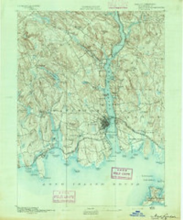
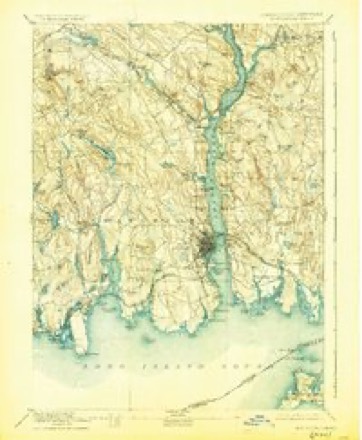
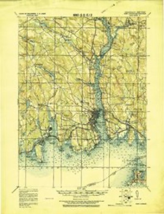
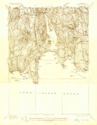
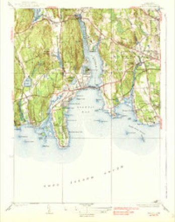
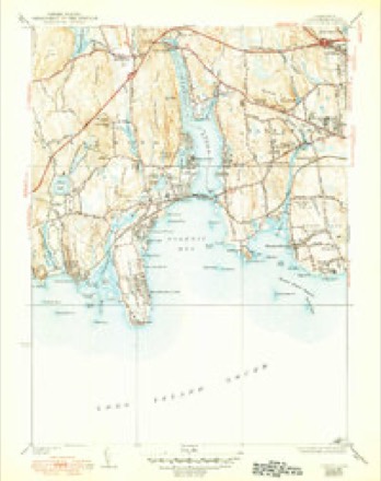
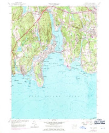
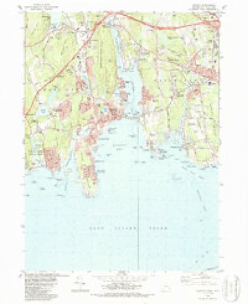
34 topographic sheets cover this place, the earliest surveyed in 1892 and the latest in 1983. It stands in Waterford town. It lies in ZIP code area 06385. It lies near Fox Island. The Survey maps it on the Niantic quadrangle.
Topographic sheets covering this place
14 surveys from 34 printed sheetsMatched by testing this settlement's coordinate against the published boundary of every sheet in the United States Geological Survey's historical collection. Each opens the scanned sheet at the Survey.
- 1892 USGS New London quadrangle1:62500
- 1893 USGS New London quadrangle1:62500, 10 printings
- 1921 USGS New London quadrangle1:62500
- 1934 USGS Niantic quadrangle1:24000
- 1938 USGS Niantic quadrangle1:62500
- 1938 USGS Niantic quadrangle1:31680, 2 printings
- 1947 USGS Hartford quadrangle1:250000, 2 printings
- 1948 USGS Hartford quadrangle1:250000, 2 printings
- 1958 USGS Niantic quadrangle1:24000, 3 printings
- 1961 USGS Hartford quadrangle1:250000
- 1962 USGS Hartford quadrangle1:250000, 3 printings
- 1965 USGS Hartford quadrangle1:250000, 2 printings
- 1983 USGS New Haven quadrangle1:100000, 2 printings
- 1983 USGS Niantic quadrangle1:24000, 3 printings






In the county-history sources
15,247 words on this townshipHistory of New London County, Connecticut, with Biographical Sketches of Many of Its Pioneers and Prominent Men, published 1882 names this settlement in its chapter on Waterford Town. These are the passages that mention it, exactly as the scans read.
Early Grants. - The first location, in the southwestern part of the present town, was made by John Winthrop, the founder of New London. It consisted of about seven hundred acres of land, and included what is now Millstone Point. In 1660 the General Court added to this farm the privilege of keeping the ferry at Niantic River, which gave it the name of the Ferry farm. It was a part of the portion bestowed by Mr. Winthrop on his daughter Lucy, the wife of Edward Palmer.
Passage source: History of New London County, Connecticut, with Biographical Sketches of Many of Its Pioneers and Prominent Men, published 1882.
Some time in 1831 he had a contract to furnish stone blocks for the Harlem Railroad, which was then building, and the quarry not being profitable to work he abandoned it, and hearing of Millstone Point, he visited it, and made arrangements with the Messrs. L. W. Henry and B. Goodwin, and in June, 1832, he commenced work with about fifteen men at Millstone Point, at which time little was known of the extent, worth, or utility of the stone, as the place had not been developed to any extent. Mr. Charles Davison, of Lyme, Conn., had worked the place in a small way for a few months, which is all that can be learned of his operations at this late date. Mr. Thomas Butler, from New York City, but a native of Massachusetts, was occupying a part of the quarry at the time W. Gates commenced, but he remained only two or three years, and then went to New York, where he remained while he lived. After finishing a contract with Harlem Railroad, W. Gates shipped a load of stone to Fort Adams, at Newport, R. I., and continued to furnish stone until the fort was completed, and for many years after furnished stone for most of the forts and light-houses along the coast from Newport to New Orleans. Fort Trumbull, at New London, was largely built of Millstone Point stone, also the front of custom-house and several granite-front stores, a great many of the stones used in the construction of Fort Schuyler, and all the modern-built forts in New York Plarbor, and the dry-dock at
Passage source: History of New London County, Connecticut, with Biographical Sketches of Many of Its Pioneers and Prominent Men, published 1882.
In 1832 the Centre Reservoir was built, the cornice round it twelve hundred feet, which required stone about four feet square, was furnished from this quarry. Previous to 1848 there had been a granite company formed of Millstone Point workmen, who did business in Philadelphia, and after a few years failed, and Mr. Baird, of Philadelphia, bought the assets at auction, and a firm was formed under the name of Gates, Baird & Co., and after a few years Gates sold out to Solomon R. Hoxsia, who was the builder of Dr. David Jayne's building on Chestnut Street, running through the block to Carter's Alley; the front on Chestnut Street above grade was of Quincy stone, but the basement and sub-cellar and the Carter Alley front, with the wings, were of Millstone Point stone. The building and lot cost over half a million dollars and was about five years in building ; and about this time platforms covering the whole sidewalk in front of buildings came into style, and large quantities were shipped to Philadelphia, and soon the style was adopted in New York, and work changed to New York, and since but few stones have been shipped to Philadelphia. A large part of the granite in the Grand Central Depot was furnished from Millstone Point, also the lower stories of the Tribune building, also the foundation of A. T. Stewart's store on Broadway, corner of Tenth Street, and his Women's Hotel, and since his death the foundation of his Memorial church at Garden City, L. I., have been furnished.
Passage source: History of New London County, Connecticut, with Biographical Sketches of Many of Its Pioneers and Prominent Men, published 1882.
Machine-read from a century-old scan, so expect the errors a machine makes: misspelled names, dropped words, stray characters.
Read the whole chapter on Waterford Town - it names this place 3 more 3 times.
Fires near this place
23 since 1992Regional context, not property-specific evidence. The federal wildfire occurrence database lists 23 fires within 5 miles of Millstone between 1992 and 2020, burning about 104 acres in total. None started naturally. 1 was recorded as arson. Distance is straight-line from the map coordinates, so a fire counted here may appear on a neighbouring settlement's page as well.
| Reported cause | Fires |
|---|---|
| Missing data/not specified/undetermined | 11 |
| Misuse of fire by a minor | 4 |
| Recreation and ceremony | 4 |
| Debris and open burning | 2 |
| Power generation/transmission/distribution | 1 |
| Arson/incendiarism | 1 |
The most recent of them, most recent first, with the day each was reported and the service that recorded it.
| Date | Cause | Size | Reported by | Name on the report |
|---|---|---|---|---|
| 7 September 2015 | Missing data/not specified/undetermined | under an acre | Connecticut Division of Forestry | not named |
| 6 September 2016 | Missing data/not specified/undetermined | under an acre | Connecticut Division of Forestry | 5 OAKRIDGE DRIVE OLD LYME |
| 11 July 1993 | Misuse of fire by a minor | 1.5 acres | Connecticut Division of Forestry | not named |
| 14 June 2015 | Recreation and ceremony | under an acre | Connecticut Division of Forestry | not named |
| 1 May 1993 | Misuse of fire by a minor | 15 acres | Connecticut Division of Forestry | not named |
| 8 April 1994 | Missing data/not specified/undetermined | 12 acres | Connecticut Division of Forestry | not named |
| 8 April 1992 | Debris and open burning | 2.5 acres | Connecticut Division of Forestry | not named |
| 4 April 1992 | Recreation and ceremony | 6.0 acres | Connecticut Division of Forestry | not named |
Settlements close enough to share some of these fires:
Mines and quarries near this place
10 of 57 shownRegional context, not property-specific evidence. The federal mineral resources record lists 57 workings within 5 miles of Millstone: 53 past producers, 2 producers, 1 occurrence, 1 prospect. 2 still produce. What was taken out: Stone, Dimension, Granite, Stone, Sand and Gravel, Construction. Distance is straight-line from the map coordinates, so a quarry counted here may appear on a neighbouring settlement's page as well.
| Where | Site | Commodity | Status | Recorded |
|---|---|---|---|---|
| Flatrock Quarry | Niobium (Columbium), REE | Occurrence | Monazite, Eschynite | |
| Chesterfield Road Pit | Sand and Gravel, Construction | Past Producer | ||
| Pattagansett Pit | Sand and Gravel, Construction | Past Producer | ||
| Waterford Pit | Sand and Gravel, Construction | Producer | ||
| Alaskite Gneiss Rock Quarry No. Ak-040 | Stone | Past Producer | ||
| Gneiss Rock Quarries No. Ak- | Stone | Past Producer | Gneiss | |
| Gneiss Rock Quarry No. Ak-041 | Stone | Past Producer | Gneiss | |
| Gneiss Rock Quarry No. Ak-042 | Stone | Past Producer | Gneiss | |
| Gneiss Rock Quarry No. Ak-047 | Stone | Past Producer | Gneiss | |
| Flat Rock Quarries | Granite | Past Producer |
Nearest settlements
The eight closest, with where each one stands in the county. Distances are straight-line, computed from the Geographic Names Information System coordinates.
| Map | Place | Distance | Sheets |
|---|---|---|---|
| Pleasure Beach | 1.1 miles | 34 | |
| Niantic | 1.7 miles | 34 | |
| Graniteville | 1.8 miles | 34 | |
| Crescent Beach | 1.9 miles | 34 | |
| Crescent Park | 1.9 miles | 34 | |
| Pine Grove | 2.0 miles | 34 | |
| Seaside | 2.0 miles | 34 | |
| Attawan Beach | 2.2 miles | 34 |
Provenance
This settlement is recorded in the Geographic Names Information System as feature 208938. The sheet list is computed by point-in-boundary test against the United States Geological Survey's historical topographic inventory. Both are works of the United States government and carry no copyright under 17 U.S.C. 105.
Wildfire. Short, Karen C. 2022. Spatial wildfire occurrence data for the United States, 1992-2020 [FPA_FOD_20221014]. 6th Edition. Fort Collins, CO: Forest Service Research Data Archive. https://doi.org/10.2737/RDS-2013-0009.6 Collected with United States Government funding and usable without additional permissions or fees.
Mines and quarries. USGS Mineral Resources Data System (MRDS) https://mrdata.usgs.gov/mrds/ A work of the United States government, no copyright under 17 U.S.C. 105.