 Block
Miry Brook, Connecticut
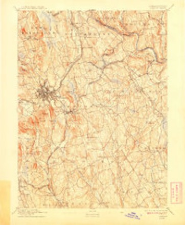
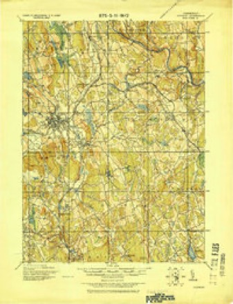
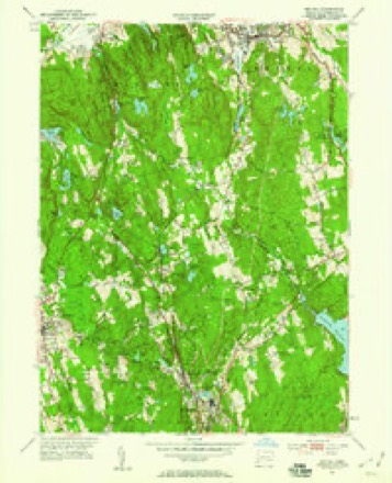
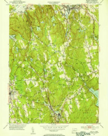
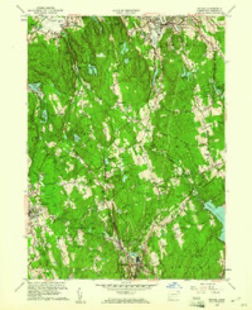
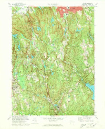
32 topographic sheets cover this place, the earliest surveyed in 1892 and the latest in 1986. It stands in Danbury town. It lies in ZIP code area 06810. It stands on Lees Pond Brook. The Survey maps it on the Bethel quadrangle.
Topographic sheets covering this place
12 surveys from 32 printed sheetsMatched by testing this settlement's coordinate against the published boundary of every sheet in the United States Geological Survey's historical collection. Each opens the scanned sheet at the Survey.
- 1892 USGS Danbury quadrangle1:62500, 11 printings
- 1915 USGS Danbury quadrangle1:62500
- 1947 USGS Hartford quadrangle1:250000, 2 printings
- 1948 USGS Hartford quadrangle1:250000, 2 printings
- 1951 USGS Bethel quadrangle1:24000
- 1951 USGS Bethel quadrangle1:31680
- 1959 USGS Bethel quadrangle1:24000, 2 printings
- 1961 USGS Hartford quadrangle1:250000
- 1962 USGS Hartford quadrangle1:250000, 3 printings
- 1965 USGS Hartford quadrangle1:250000, 2 printings
- 1970 USGS Bethel quadrangle1:24000, 3 printings
- 1986 USGS Bridgeport quadrangle1:100000, 3 printings






In the county-history sources
25,748 words on this townshipHistory of Fairfield County, Connecticut, published 1881 names this settlement in its chapter on Danbury Town. These are the passages that mention it, exactly as the scans read.
Levi Stone belonged in the Middle River District. Joshua Porter came home from the Northern campaign all right, but lost his life by Tryon's troops in Maj. Starr's house. John Ambler, the fifth sergeant, was a great-grandfather of Rev. E. C. Ambler, and was at that time a man of advanced age. The grandfather of Rev. Mr. Ambler, Peter Ambler, and two of Peter's brothers, Stephen and St[uire .Vmbler, were in the war, but not in this company. The family lived in Miry Brook District.
Passage source: History of Fairfield County, Connecticut, published 1881.
"Before the last of the British were fairly out of the village the gray dawn of the Sabbath waved up from the east, aud as it advanced into the broader light of the new day it showed tlic long line of British filing through Miry Brook road, and the straggling but determined rebels, armed with long muskets, carried with both hands, bringing up the rear, aud doing their be.st to harass the foe, aud succeeding. Still, with all their ])atriotic zeal, we arc obliged to entertain but a jioor idea of their nuirksmanship, for there is no record that any of the enemy were killed on Danbury soil.
Passage source: History of Fairfield County, Connecticut, published 1881.
" A movement of a body of two thousand men could not be made, of course, without the knowledge of the neighbors. The people of the adjoining districts and villages had been ai>prised of the arrival of the British in Danbury by the families who had tied from the doomed town. All tiiat S:itiird:iy iiiL'bl men were , hovering about the place, looking with hungry eyes for every manifestation from the enemy. No sooner had the line taken up it.s march than these people knew of it, and, determining the route, sought to annoy the march all that was in their ])owcrtodo. One of their acts was to destroy the bridge over Wolf Pond Run, in Miry Brook District. When the enemy reached this place they were obliged to stop and throw over a temporary bridge of rails. This made a delay, and enabled the forces under Wooster to gain headway.
Passage source: History of Fairfield County, Connecticut, published 1881.
Machine-read from a century-old scan, so expect the errors a machine makes: misspelled names, dropped words, stray characters.
Read the whole chapter on Danbury Town - it names this place 1 more 1 time.
Fires near this place
31 since 1994Regional context, not property-specific evidence. The federal wildfire occurrence database lists 31 fires within 5 miles of Miry Brook between 1994 and 2020, burning about 42 acres in total. 2 started naturally. 1 was recorded as arson. Distance is straight-line from the map coordinates, so a fire counted here may appear on a neighbouring settlement's page as well.
| Reported cause | Fires |
|---|---|
| Missing data/not specified/undetermined | 15 |
| Debris and open burning | 4 |
| Recreation and ceremony | 2 |
| Misuse of fire by a minor | 2 |
| Equipment and vehicle use | 2 |
| Natural | 2 |
| Power generation/transmission/distribution | 2 |
| Arson/incendiarism | 1 |
| Smoking | 1 |
The most recent of them, most recent first, with the day each was reported and the service that recorded it.
| Date | Cause | Size | Reported by | Name on the report |
|---|---|---|---|---|
| 16 September 2001 | Debris and open burning | under an acre | Fire Department of New York | not named |
| 8 May 2015 | Debris and open burning | under an acre | Fire Department of New York | NA |
| 4 May 2001 | Debris and open burning | under an acre | Connecticut Division of Forestry | not named |
| 2 May 2001 | Missing data/not specified/undetermined | 1.1 acres | Fire Department of New York | not named |
| 8 April 2000 | Missing data/not specified/undetermined | 5.0 acres | Connecticut Division of Forestry | not named |
| 4 April 2002 | Missing data/not specified/undetermined | under an acre | Fire Department of New York | not named |
| 26 April 2011 | Power generation/transmission/distribution | under an acre | Fire Department of New York | not named |
| 26 April 2011 | Natural | under an acre | Fire Department of New York | not named |
Settlements close enough to share some of these fires:
Mines and quarries near this place
10 of 20 shownRegional context, not property-specific evidence. The federal mineral resources record lists 20 workings within 5 miles of Miry Brook: 16 past producers, 2 producers, 1 occurrence, 1 prospect. 2 still produce. What was taken out: Stone, Sand and Gravel, Construction, Stone, Dimension, Stone, Crushed/Broken. Distance is straight-line from the map coordinates, so a quarry counted here may appear on a neighbouring settlement's page as well.
| Where | Site | Commodity | Status | Recorded |
|---|---|---|---|---|
| Dolomitic Marble Rock Quarries No. Fk-006 | Limestone, General | Past Producer | ||
| Collins Granite Gneiss Rock Quarry | Stone, Crushed/Broken | Past Producer | Unknown | |
| Collins Quarry | Granite | Past Producer | ||
| Lime Quarry | Stone, Crushed/Broken | Past Producer | ||
| Marble Quarry | Marble, Dimension | Past Producer | ||
| Redding Marble Co. Quarry | Marble, Dimension | Past Producer | ||
| Topstone Hill Granite Quarry | Stone, Dimension | Past Producer | Granite | |
| Treadwell Biotite Gneiss Granite Rock Quarry | Stone, Dimension | Past Producer | 1895 | |
| Treadwell Prospect | Granite | Prospect | ||
| West Redding Garnet Occurrence | Garnet | Occurrence |
Nearest settlements
The eight closest, with where each one stands in the county. Distances are straight-line, computed from the Geographic Names Information System coordinates.
| Map | Place | Distance | Sheets |
|---|---|---|---|
| Wataba Lake | 1.8 miles | 32 | |
| Beckettville | 1.9 miles | 31 | |
| Ridgebury | 2.3 miles | 41 | |
| Danbury | 2.5 miles | 31 | |
| Mill Plain | 2.6 miles | 37 | |
| Long Ridge | 3.1 miles | 32 | |
| Germantown | 3.6 miles | 31 | |
| Bethel | 3.6 miles | 32 |
Elsewhere
Matched on this settlement's Geographic Names Information System number rather than its name, so it cannot be a different place of the same name in another state.
| Wikipedia article on Miry Brook | An encyclopaedic summary. Its text is share-alike, so it is linked here rather than copied. |
| Wikidata item Q111939405 | The structured record the population and elevation above come from. Public domain (CC0). |
Provenance
This settlement is recorded in the Geographic Names Information System as feature 212510. The sheet list is computed by point-in-boundary test against the United States Geological Survey's historical topographic inventory. Both are works of the United States government and carry no copyright under 17 U.S.C. 105.
Wildfire. Short, Karen C. 2022. Spatial wildfire occurrence data for the United States, 1992-2020 [FPA_FOD_20221014]. 6th Edition. Fort Collins, CO: Forest Service Research Data Archive. https://doi.org/10.2737/RDS-2013-0009.6 Collected with United States Government funding and usable without additional permissions or fees.
Mines and quarries. USGS Mineral Resources Data System (MRDS) https://mrdata.usgs.gov/mrds/ A work of the United States government, no copyright under 17 U.S.C. 105.