 Block
New Canaan, Connecticut
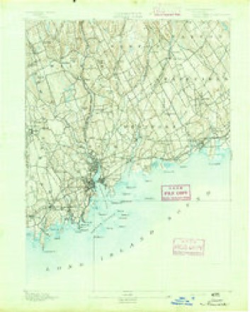
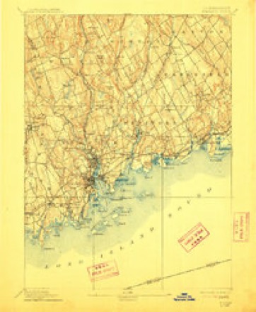
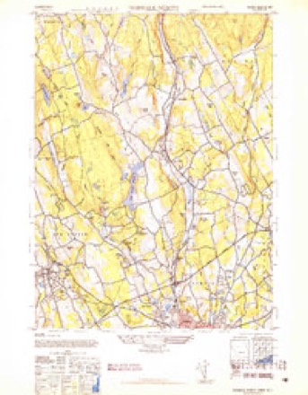
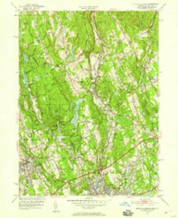
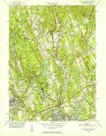
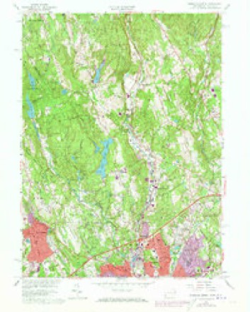
37 topographic sheets cover this place, the earliest surveyed in 1892 and the latest in 1986. It stands in New Canaan town. It lies in ZIP code area 06840. It lies near Church Hill. The Survey maps it on the Norwalk North quadrangle.
On record in New Canaan
Buildings and businesses the archive holds for this place. Each opens its own page, with the source record it came from.
On the National Register 12 of 25 shown
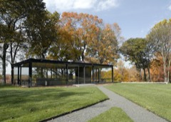 Philip Johnson Glass HouseNational Historic Landmark · listed 1997
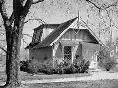 John Rogers StudioNational Historic Landmark · listed 1966
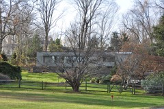 Marcel Breuer House IIlisted 2010
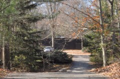 Arthur and Lyn Chivvis Houselisted 2010
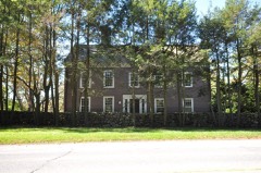 Abijah Comstock Houselisted 2017
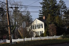 Hanford Davenport Houselisted 1989
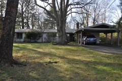 Durisol Houselisted 2010
 Elinor and Sherman Ford Houselisted 2010
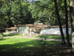 Landis Gores Houselisted 2002
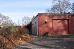 Hall, Isaac Davis and Marion Dalton, Houselisted 2010
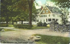 Hampton Innlisted 2004
 Richard and Geraldine Hodgson Houselisted 2005
Topographic sheets covering this place
12 surveys from 37 printed sheetsMatched by testing this settlement's coordinate against the published boundary of every sheet in the United States Geological Survey's historical collection. Each opens the scanned sheet at the Survey.
- 1892 USGS Norwalk quadrangle1:62500
- 1893 USGS Norwalk quadrangle1:62500, 12 printings
- 1943 USGS Norwalk North quadrangle1:31680, 2 printings
- 1947 USGS Hartford quadrangle1:250000, 2 printings
- 1948 USGS Hartford quadrangle1:250000, 2 printings
- 1951 USGS Norwalk North quadrangle1:24000, 2 printings
- 1951 USGS Norwalk North quadrangle1:31680, 2 printings
- 1960 USGS Norwalk North quadrangle1:24000, 5 printings
- 1961 USGS Hartford quadrangle1:250000
- 1962 USGS Hartford quadrangle1:250000, 3 printings
- 1965 USGS Hartford quadrangle1:250000, 2 printings
- 1986 USGS Bridgeport quadrangle1:100000, 3 printings






In the county-history sources
3,776 words on this townshipHistory of Fairfield County, Connecticut : with Illustrations and Biographical Sketches of Its Prominent Men and Pioneers, published 1881 names this settlement in its chapter on New Canaan Town. These are the passages that mention it, exactly as the scans read.
New Canaan is first noticed in the Stamford records as a distinct parish Dec. 8, 1730, when John Bouton and others ask liberty of moving out of town to join with a part of Norwalk in order to be a society. The permission, however, was not granted ; yet in the following year, under date December 14th, Ebenezer Seeley and Nathaniel Bouton are apj^ointed tythingmen for the new society. In the following year, 1702, Ebenezer Seeley and John Bouton are chosen tythingmen for " Canaan Parish."
Passage source: History of Fairfield County, Connecticut : with Illustrations and Biographical Sketches of Its Prominent Men and Pioneers, published 1881.
The first meeting of the New Canaan society was held July 1, 1731, with John Bouton moderator and John Betts, Sr., clerk. The following is a list of the Stamford settlers in New Canaan as ai)pcar in 1732 : John, Nathaniel, Daniel, Eleazer, and John Bouton, Jr., John Davenport, John Finch, Nathaniel Green, James Hoyt, Job Hoyt, Joshua Hoyt, Eliphalet Slason, Eliphalet and Ebenezer Seeley, Thos. Talmadge, David Stevens, and David Waterbury.
Passage source: History of Fairfield County, Connecticut : with Illustrations and Biographical Sketches of Its Prominent Men and Pioneers, published 1881.
INDUSTRIAL PURSUITS. " The occupations of the early inhabitants of New Canaan were purely agricultural, with artisans enough barely to supply their own wants. The tailors and mantuamakers, and even shoemakers, were accustomed to circulate through the town semi-annually, making up the requisite wardrobes of the families. The farmers were exceedingly patient, hard-working men ; their farms required clearing not only of trees and bushes, but of the numerous stones which in this diluvial soil almost covered the face of the earth. To dispose of these stones, they built walls inclosing small fields. They raised wheat (until the Hessian fly destroyed that crop), rye, corn, oats, and potatoes. Timothy or herd-grass was introduced at a comparatively late period. Their hay consisted of the harsh, low meadow-grass and the natural grasses of the uplands near their barns. The great problem with them was, how to winter their stock. They supplemented their tender supply of hay with cornstalks and husks and oat-straw. Their nUx-.k in the spring were emaciated, and many of them died of " horn dlHtemper," which generally meant starvation. The old wooden plow was a rough, heavy, clumsy instrument, and I remeiriber hearing discussions among tiie workmen on the probability of the introduction of an iron plow which was then in use in tlie West of that day, - that is, Central and Western New York. I rejoice in having lived to see the toils of the husbandman relieved by the steel plow, the tooth-harrow, the horserake, the mower and reai)er, and other machines which not only lighten labor, but make it more efficient. Nor will we forget the spinning-jennies, power-looms, and sewing-machines wliich relieve the women of the present day from that incessant hard labor which in the case of their grandmothers, together with the inevitable care of the household, crushed their physical energies and suppressed every rising aspiration for intellectual and aesthetic culture. Let the spinning-wheels, large and small, go to grace the elegant parlors of New York - and I would that they were gifted with speech ! - to portray the scenes of unrepining toil enacted at their sides in days gone by ; and perhaps gentlemen might jjrofit by a plow or flail of the olden time in their offices."
Passage source: History of Fairfield County, Connecticut : with Illustrations and Biographical Sketches of Its Prominent Men and Pioneers, published 1881.
Machine-read from a century-old scan, so expect the errors a machine makes: misspelled names, dropped words, stray characters.
Read the whole chapter on New Canaan Town - it names this place 5 more 5 times.
Fires near this place
33 since 1994Regional context, not property-specific evidence. The federal wildfire occurrence database lists 33 fires within 5 miles of New Canaan between 1994 and 2020, burning about 26 acres in total. 7 started naturally. 5 were recorded as arson. Distance is straight-line from the map coordinates, so a fire counted here may appear on a neighbouring settlement's page as well.
| Reported cause | Fires |
|---|---|
| Missing data/not specified/undetermined | 9 |
| Natural | 7 |
| Arson/incendiarism | 5 |
| Power generation/transmission/distribution | 4 |
| Smoking | 3 |
| Equipment and vehicle use | 3 |
| Recreation and ceremony | 2 |
The most recent of them, most recent first, with the day each was reported and the service that recorded it.
| Date | Cause | Size | Reported by | Name on the report |
|---|---|---|---|---|
| 27 September 2015 | Missing data/not specified/undetermined | under an acre | Fire Department of New York | NA |
| 9 August 2019 | Natural | under an acre | Fire Department of New York | N/A |
| 4 August 2020 | Missing data/not specified/undetermined | under an acre | Connecticut Division of Forestry | STONY BROOK PARK |
| 24 August 2004 | Arson/incendiarism | under an acre | Fire Department of New York | not named |
| 11 August 2012 | Arson/incendiarism | under an acre | Fire Department of New York | not named |
| 17 June 2016 | Missing data/not specified/undetermined | under an acre | Connecticut Division of Forestry | UNION AVE CEMETERY |
| 7 May 2015 | Equipment and vehicle use | under an acre | Fire Department of New York | NA |
| 6 May 2009 | Missing data/not specified/undetermined | 2.2 acres | Fire Department of New York | not named |
Settlements close enough to share some of these fires:
Mines and quarries near this place
3 within 5 milesRegional context, not property-specific evidence. The federal mineral resources record lists 3 workings within 5 miles of New Canaan: 2 past producers, 1 producer. 1 still produces. What was taken out: Stone, Dimension, Sand and Gravel, Construction, Lead. Distance is straight-line from the map coordinates, so a quarry counted here may appear on a neighbouring settlement's page as well.
| Where | Site | Commodity | Status | Recorded |
|---|---|---|---|---|
| Hall Bates Granite Gneiss Rock Quarry | Stone, Dimension | Past Producer | Unknown | |
| Jayne Brothers Pit | Sand and Gravel, Construction | Producer | ||
| Wilton Lead Mine | Lead | Past Producer |
Storms near this place
20 since 1994Regional context, not property-specific evidence. The National Weather Service names New Canaan in 20 storm reports between 1994 and 2025: 11 thunderstorm wind, 3 flash flood, 3 hail, 1 lightning. No death or injury is recorded in these reports. Each account below is quoted exactly as the forecast office filed it, from the NOAA Storm Events Database, and each date opens the federal record of that event.
| When | Event | Place named | Harm | What the report says |
|---|---|---|---|---|
| May 1994 | Thunderstorm Wind | New Canaan | $500,000 | A severe thunderstorm moved through Fairfield County in southwest Connecticut, producing damaging winds. The wind damage was discontinuous and caused by very strong downburst winds. The most severe damage was in New Canaan. The path extended some 30 miles and was one of a "skipping" character. In New Canaan, trees were reported blown down all over town and many had their tops clipped off. Nineteen roadways were closed due to fallen trees. Power was knocked out to the entire town. A tree fell on a car during the height of the storm and shortly after the storm had ended, a 73-year-old man suffered head injuries when a damaged tree limb fell on his car. |
| October 2018 | Tornado (EF1) | New Canaan | $50,000 | A National Weather Service (NWS) Storm Survey of damage was conducted with|Connecticut Emergency Management and Homeland Security and the New Canaan|and Norwalk Offices of Emergency Management in the area from New Canaan to Norwalk. Based on the results of this survey and NWS Doppler Radar data the following information has been determined. The tornado began near the intersection of Weed Street and Marshall Ridge Road in New Canaan and lifted near the intersection of Scribner Avenue and Orlando Road in Norwalk. Extensive tree damage was observed, and some of the trees fell on parked cars. The most significant damage was in New Canaan, where multiple trees were both uprooted and snapped. This damage is consistent with maximum wind speeds of around 100 mph, making this an EF-1 tornado. The tornado had a maximum path width of around 100 yards and was on the ground for around three and three-quarter miles. |
| July 2010 | Thunderstorm Wind | New Canaan | $15,000 | Multiple trees were reported down throughout New Canaan, including two onto cars. |
| June 2011 | Thunderstorm Wind | New Canaan | $7,500 | Numerous trees were reported down in New Canaan. |
| November 2009 | Heavy Rain | New Canaan | $6,500 | Heavy rain caused a vehicle to hydroplane on a road bank on Brushy Ridge in New Canaan, CT. The vehicle over turned, and the driver was taken to Norwalk Hospital for treatment. ||A large tree fell down in Waveny Park in New Canaan due to a combination of heavy rain and gusty winds. |
| July 2025 | Thunderstorm Wind | New Canaan | $2,000 | Trees down on power lines and blocking South Avenue, Nursery Road, and Buttery Road. |
| July 2019 | Thunderstorm Wind | New Canaan | $1,000 | Tree down on Frogtown Road between Welles Lane and Frogtown Lane. |
| September 2016 | Thunderstorm Wind | New Canaan | $1,000 | A tree was snapped and downed near the railroad crossing at Talmadge Hill Station. |
| August 2024 | Flash Flood | New Canaan | - | Substantial river flooding Five Mile river at River St. Several roads closed in town due to debris or flooding. |
| June 2006 | Thunderstorm Wind | New Canaan | - | Trees and power lines downed. |
| June 2005 | Flash Flood | New Canaan | - | Very heavy thunderstorm rains caused flash flooding of streets and neighborhoods. |
| June 2005 | Thunderstorm Wind | New Canaan | - | Numerous trees felled by thunderstorm wind gusts. |
| August 2005 | Flash Flood | New Canaan | - | Flash flooding occurred along the Five Mile River. Under normal circumstances, the river is just a few feet wide. Rainfall rates of 2 to 3 inches per hour allowed this river to expand to several hundred feet in width. Homes and property were threatened. |
| July 2002 | Thunderstorm Wind | New Canaan | - | Local police reported numerous trees down as a result of strong winds during a severe thunderstorm. |
| August 2002 | Thunderstorm Wind | New Canaan | - | A spotter observed that severe thunderstorm winds downed trees. |
| October 2018 | Hail | New Canaan | - | no account filed |
| June 2007 | Hail | New Canaan | - | no account filed |
| July 2006 | Hail | New Canaan | - | no account filed |
| August 1999 | Thunderstorm Wind | New Canaan | - | no account filed |
| May 1998 | Lightning | New Canaan | - | no account filed |
Nearest settlements
The eight closest, with where each one stands in the county. Distances are straight-line, computed from the Geographic Names Information System coordinates.
| Map | Place | Distance | Sheets |
|---|---|---|---|
| Richards Corner | 1.6 miles | 37 | |
| Ponus | 1.9 miles | 36 | |
| Talmadge Hill | 1.9 miles | 35 | |
| Daniels Mill | 2.0 miles | 37 | |
| Millville (historical) | 2.0 miles | 31 | |
| North Stamford | 2.6 miles | 36 | |
| Silvermine | 2.7 miles | 37 | |
| Pinneys Corners | 3.1 miles | 36 |
Provenance
This settlement is recorded in the Geographic Names Information System as feature 209223. The sheet list is computed by point-in-boundary test against the United States Geological Survey's historical topographic inventory. Both are works of the United States government and carry no copyright under 17 U.S.C. 105.
Wildfire. Short, Karen C. 2022. Spatial wildfire occurrence data for the United States, 1992-2020 [FPA_FOD_20221014]. 6th Edition. Fort Collins, CO: Forest Service Research Data Archive. https://doi.org/10.2737/RDS-2013-0009.6 Collected with United States Government funding and usable without additional permissions or fees.
Mines and quarries. USGS Mineral Resources Data System (MRDS) https://mrdata.usgs.gov/mrds/ A work of the United States government, no copyright under 17 U.S.C. 105.
Storms. NOAA National Centers for Environmental Information, Storm Events Database https://www.ncei.noaa.gov/stormevents/ A work of the United States government, no copyright under 17 U.S.C. 105. Narratives are quoted verbatim from the National Weather Service report and are not edited or summarised.