 Block
Norwalk, Connecticut
35 topographic sheets cover this place, the earliest surveyed in 1892 and the latest in 1986. It stands in Norwalk town. It lies in ZIP code area 06851. It stands on Betts Pond Brook. The Survey maps it on the Norwalk South quadrangle. 91,184 people lived here at the 2020 count. It stands 36 feet above sea level.
On record in Norwalk
Buildings and businesses the archive holds for this place. Each opens its own page, with the source record it came from.
On the National Register 12 of 25 shown
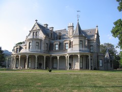 Lockwood-Mathews MansionNational Historic Landmark · listed 1970
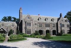 Rock LedgeNational Historic Landmark · listed 1977
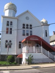 Beth Israel Synagoguelisted 1991
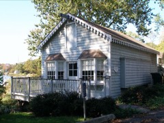 Five Mile River Landing Historic Districtlisted 2009
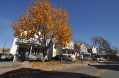 Haviland and Elizabeth Streets-Hanford Place Historic Districtlisted 1988
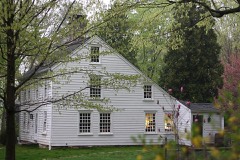 Enos Kellogg Houselisted 2012
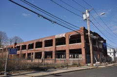 Le Roy Shirt Company Factorylisted 2012
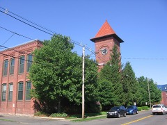 Joseph Loth Company Buildinglisted 1984
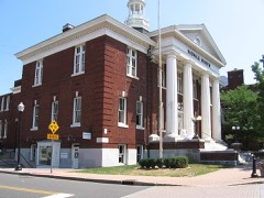 Norwalk City Halllisted 1995
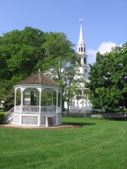 Norwalk Green Historic Districtlisted 1987
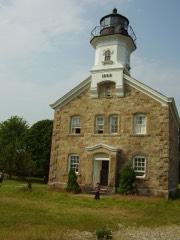 Norwalk Island Lighthouselisted 1989
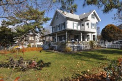 Oysterman's Rowlisted 2010
Population over time
2 figuresNorwalk grew from 85,603 to 91,184 between 2010 and 2020. These are the recorded population figures Wikidata holds for this place, reached through the Geographic Names Information System number this page is keyed on rather than by name, so they belong to this place and not to another of the same name. Most are census counts, but not all are: an early figure may be a founding or settlement estimate, and an estimate published within five years of a census is left out. The change column is computed, and is left blank where more than 20 years separate a figure from the one before it, because a gap that long is not a change between two counts.
| Year | People | Change |
|---|---|---|
| 2010 | 85,603 | |
| 2020 | 91,184 | +5,581 (+7%) |
Topographic sheets covering this place
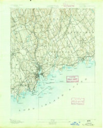
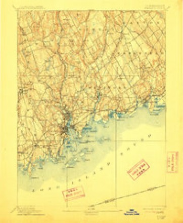
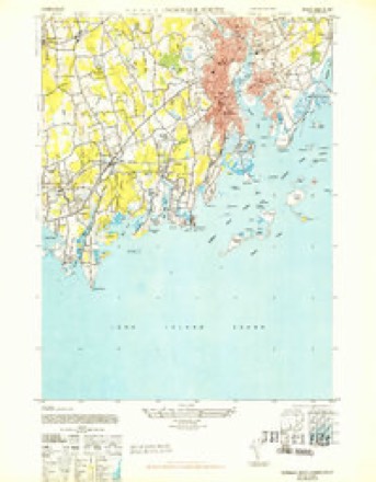
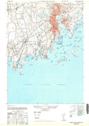
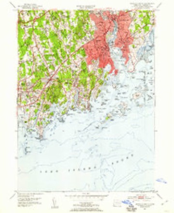
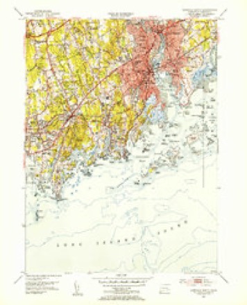
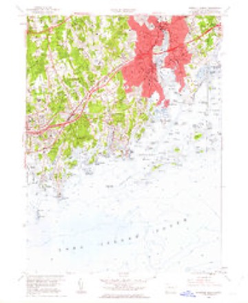
13 surveys from 35 printed sheetsMatched by testing this settlement's coordinate against the published boundary of every sheet in the United States Geological Survey's historical collection. Each opens the scanned sheet at the Survey.
- 1892 USGS Norwalk quadrangle1:62500
- 1893 USGS Norwalk quadrangle1:62500, 12 printings
- 1943 USGS Norwalk South quadrangle1:31680
- 1947 USGS Hartford quadrangle1:250000, 2 printings
- 1947 USGS Norwalk South quadrangle1:31680
- 1948 USGS Hartford quadrangle1:250000, 2 printings
- 1951 USGS Norwalk South quadrangle1:24000, 2 printings
- 1951 USGS Norwalk South quadrangle1:31680, 2 printings
- 1960 USGS Norwalk South quadrangle1:24000, 3 printings
- 1961 USGS Hartford quadrangle1:250000
- 1962 USGS Hartford quadrangle1:250000, 3 printings
- 1965 USGS Hartford quadrangle1:250000, 2 printings
- 1986 USGS Bridgeport quadrangle1:100000, 3 printings






In the county-history sources
16,988 words on this townshipHistory of Fairfield County, Connecticut, published 1881 names this settlement in its chapter on Norwalk Town. These are the passages that mention it, exactly as the scans read.
I " Know all men by these presents, that I Winnipank, Indian Sagamour of Norwalk, do freely Give to my beloved friend Thomas Hanford, senior. Minister of Norwalk in y'' County of Fairfield, in y' (^)lony of I Connecticut, my Island of Land Lying against Rower- I ton, containing Twenty acres more or less, with all y trees, Herbage, and other Appurtenances thereof; which s*" Island is bounded on y' East with y' Island called Mamachimins, and Chachanenas, and on y° West witli the ))oint of Rowertoii ; I the said Winnipank Do by this my act and Deed, Alienate the s* Island from all claims of English or Indians, and as being my peculiar propriety, never by deed of gift, or sale made over to any, but now by this my deed I do give it freely to my beloved friend Thomas Hanford, senr., to possess, improve, to liim and iiis heirs forever. In confirmation of this my act or deed, I have set to my hand & seal this second day of December Anno Domini One thousand six Hundred and Ninety.
Passage source: History of Fairfield County, Connecticut, published 1881.
A large and commodious steamer leaves the dock at the foot of Washington Street every morning, except Sundays, for New York City, returning at six r. M. Two freight-steamers make tri-weekly trips between this city and New York. Within the city are ample dock accommodations for vessels drawing from ten to twelve feet of water, at which are constantly moored in tlie busy season sailing-crafts of every description discharging lumber, timber, and every kinds of building-materials, coal, and wood, and receiving cargoes of various sorts for other ports. Here tlie oyster-trade is a large factor of wealth. .\t certain sea.sons of the year the docks are crowded with vessels engaged in transporting oysters to New York City, Bridgeport, New Haven, Hartford, and to foreign countries. It is computed that at least two millions of dollars' worth of bivalves arc planted in the waters of Norwalk, three-quarters of which are owned by citizens of South and Ea.st Norwalk.
Passage source: History of Fairfield County, Connecticut, published 1881.
Tiie city of South Norwalk is really the entrepot of nearly all the commerce of Norwalk, Wilton, Ridgefield, Bethel, Danbury, and the southwestern portion of Litchfield County, from whence it is carried by the Danbury and Norwalk Railroad.
Passage source: History of Fairfield County, Connecticut, published 1881.
Machine-read from a century-old scan, so expect the errors a machine makes: misspelled names, dropped words, stray characters.
Read the whole chapter on Norwalk Town - it names this place 71 more 71 times.
Fires near this place
71 since 1995Regional context, not property-specific evidence. The federal wildfire occurrence database lists 71 fires within 5 miles of Norwalk between 1995 and 2020, burning about 20 acres in total. None started naturally. 1 was recorded as arson. Distance is straight-line from the map coordinates, so a fire counted here may appear on a neighbouring settlement's page as well.
| Reported cause | Fires |
|---|---|
| Missing data/not specified/undetermined | 38 |
| Smoking | 18 |
| Debris and open burning | 10 |
| Railroad operations and maintenance | 2 |
| Arson/incendiarism | 1 |
| Power generation/transmission/distribution | 1 |
| Recreation and ceremony | 1 |
The most recent of them, most recent first, with the day each was reported and the service that recorded it.
| Date | Cause | Size | Reported by | Name on the report |
|---|---|---|---|---|
| 8 September 2007 | Smoking | under an acre | Connecticut Division of Forestry | not named |
| 6 September 2007 | Missing data/not specified/undetermined | under an acre | Connecticut Division of Forestry | not named |
| 24 September 2007 | Smoking | under an acre | Connecticut Division of Forestry | not named |
| 5 August 2007 | Missing data/not specified/undetermined | under an acre | Connecticut Division of Forestry | not named |
| 4 August 2020 | Missing data/not specified/undetermined | under an acre | Connecticut Division of Forestry | STONY BROOK PARK |
| 3 August 2015 | Smoking | under an acre | Connecticut Division of Forestry | not named |
| 27 August 2015 | Debris and open burning | under an acre | Connecticut Division of Forestry | not named |
| 29 July 2015 | Smoking | under an acre | Connecticut Division of Forestry | not named |
Settlements close enough to share some of these fires:
Mines and quarries near this place
7 within 5 milesRegional context, not property-specific evidence. The federal mineral resources record lists 7 workings within 5 miles of Norwalk: 4 past producers, 3 producers. 3 still produce. What was taken out: Sand and Gravel, Construction, Stone, Dimension, Lead, Granite. Distance is straight-line from the map coordinates, so a quarry counted here may appear on a neighbouring settlement's page as well.
| Where | Site | Commodity | Status | Recorded |
|---|---|---|---|---|
| Hall Bates Granite Gneiss Rock Quarry | Stone, Dimension | Past Producer | Unknown | |
| Hall Quarry | Granite | Past Producer | ||
| Quartz Mine | Quartz | Past Producer | ||
| Wilton Lead Mine | Lead | Past Producer | ||
| Gaults Gravel Bank | Sand and Gravel, Construction | Producer | ||
| Jayne Brothers Pit | Sand and Gravel, Construction | Producer | ||
| Weston Pit & Dredge | Sand and Gravel, Construction | Producer |
Storms near this place
26 since 1997Regional context, not property-specific evidence. The National Weather Service names Norwalk in 26 storm reports between 1997 and 2020: 10 thunderstorm wind, 6 flash flood, 5 hail, 1 heavy rain. No death or injury is recorded in these reports. Each account below is quoted exactly as the forecast office filed it, from the NOAA Storm Events Database, and each date opens the federal record of that event.
| When | Event | Place named | Harm | What the report says |
|---|---|---|---|---|
| August 2020 | Tornado (EF0) | East Norwalk | $15,000 | EF1 Tornado confirmed, severe damage to house on Surf Road with Roof ripped off and several pine trees snapped off.||A discrete, low topped storm cell, moving north northwest from |Long Island Sound and over Saugatuck Shores in Westport CT, |produced a waterspout, that made landfall as an EF1 tornado |around 140pm on August 4 2020. ||The waterspout was captured on video by a private meteorologist |as it was moving towards Saugatuck Shores in Westport CT around |140pm. The tornado produced severe damage to a house on Surf Rd, |with the roof being ripped off, as well as portions of the second |floor's supporting wall structure. This debris was tossed about |30-50 feet north on the property. In addition, the tops of several|pine trees in the front and side yard were either sheared or |snapped off. The tornado likely quickly lifted and possibly |tracked north as a funnel cloud for another 1 to 2 miles, before |dissipating. The funnel cloud could have touched down as a |waterspout on the Saugatuck River, south of Route 1, based on an |eyewitness report from S Compo Rd in Westport, CT. Otherwise, |downstream damage reports are inconclusive for tornado damage, but|consistent with the damaging 40 to 50 mph straight line sustained|winds and 60 to 70 mph gusts observed between 2pm and 5pm across |southwestern CT from Tropical Storm Isaias. |
| October 2018 | Thunderstorm Wind | West Norwalk | $4,000 | Large tree down on West Norwalk Road near Stony Lane. |
| June 2013 | Thunderstorm Wind | Norwalk | $4,000 | A tree was reported down on wires on Scribner Avenue. Wires were also reported down in two other places in Norwalk. |
| June 2019 | Thunderstorm Wind | East Norwalk | $3,000 | Multiple trees down on Duck Pond Road. |
| June 2019 | Thunderstorm Wind | West Norwalk | $1,000 | Tree down on I-95 South between Exits 14 and 13. The road is closed. |
| October 2018 | Thunderstorm Wind | West Norwalk | $1,000 | Tree down on West Norwalk Road and Ravenwood Road. |
| June 2011 | Lightning | Norwalk | $1,000 | Lightning brought down power lines near the intersection of Flax Hill Road and Highland Avenue. |
| June 2018 | Flash Flood | East Norwalk | - | I-95 was impassable due to flash flooding at Exit 16 in Norwalk. |
| September 2018 | Flash Flood | East Norwalk | - | I-95 was closed southbound at Exit 16 (East Avenue) in East Norwalk due to flooding. A car was stuck in the water with police on the scene. |
| September 2014 | Thunderstorm Wind | Norwalk | - | High winds downed a tree at Filbert and Barbara Road. |
| September 2014 | Thunderstorm Wind | Norwalk | - | High winds downed a tree and wires onto a house roof at Weed Ave. and Gray Squirrel Drive. |
| October 2010 | Flash Flood | Norwalk | - | The intersection of Route 136 and South Main Street in Norwalk was under several feet of water. |
| February 2008 | Flood | Norwalk | - | Keeler Avenue at the I-95 overpass was closed due to flooding. |
| August 2008 | Hail | Norwalk | - | Penny size hail was reported. |
| October 2007 | Flash Flood | Norwalk | - | Flash flooding caused the closure of portions of Route 123 in Norwalk. |
| July 2006 | Hail | Norwalk | - | no account filed |
| August 2002 | Flash Flood | Norwalk | - | no account filed |
| August 2001 | Flash Flood | Norwalk | - | no account filed |
| August 2001 | Hail | Norwalk | - | no account filed |
| August 2001 | Thunderstorm Wind | Norwalk | - | no account filed |
| August 2001 | Funnel Cloud | Norwalk | - | no account filed |
| May 2000 | Hail | Norwalk | - | no account filed |
| November 2000 | Heavy Rain | Norwalk | - | no account filed |
| September 1998 | Hail | Norwalk | - | no account filed |
| September 1998 | Thunderstorm Wind | Norwalk | - | no account filed |
| May 1997 | Thunderstorm Wind | Norwalk | - | no account filed |
Nearest settlements
The eight closest, with where each one stands in the county. Distances are straight-line, computed from the Geographic Names Information System coordinates.
| Map | Place | Distance | Sheets |
|---|---|---|---|
| Winnipauk Village | 1.0 miles | 37 | |
| East Norwalk | 1.0 miles | 35 | |
| South Norwalk | 1.7 miles | 35 | |
| Saugatuck | 2.0 miles | 33 | |
| Shorehaven | 2.1 miles | 35 | |
| Winnipauk | 2.1 miles | 37 | |
| Cranbury | 2.2 miles | 37 | |
| Saugatuck Shores | 2.4 miles | 33 |
Elsewhere
Matched on this settlement's Geographic Names Information System number rather than its name, so it cannot be a different place of the same name in another state.
| Wikipedia article on Norwalk | An encyclopaedic summary. Its text is share-alike, so it is linked here rather than copied. |
| Wikidata item Q54217 | The structured record the population and elevation above come from. Public domain (CC0). |
Provenance
This settlement is recorded in the Geographic Names Information System as feature 209405. The sheet list is computed by point-in-boundary test against the United States Geological Survey's historical topographic inventory. Both are works of the United States government and carry no copyright under 17 U.S.C. 105.
Wildfire. Short, Karen C. 2022. Spatial wildfire occurrence data for the United States, 1992-2020 [FPA_FOD_20221014]. 6th Edition. Fort Collins, CO: Forest Service Research Data Archive. https://doi.org/10.2737/RDS-2013-0009.6 Collected with United States Government funding and usable without additional permissions or fees.
Mines and quarries. USGS Mineral Resources Data System (MRDS) https://mrdata.usgs.gov/mrds/ A work of the United States government, no copyright under 17 U.S.C. 105.
Storms. NOAA National Centers for Environmental Information, Storm Events Database https://www.ncei.noaa.gov/stormevents/ A work of the United States government, no copyright under 17 U.S.C. 105. Narratives are quoted verbatim from the National Weather Service report and are not edited or summarised.