 Block
Salisbury, Connecticut
35 topographic sheets cover this place, the earliest surveyed in 1892 and the latest in 1993. It stands in Salisbury town. It lies in ZIP code area 06068. It stands on Pettee Brook. The Survey maps it on the Sharon quadrangle.
On record in Salisbury
Buildings and businesses the archive holds for this place. Each opens its own page, with the source record it came from.
On the National Register 8 records
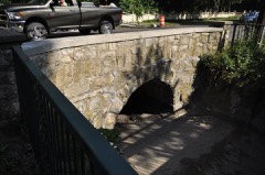 Bridge #2305listed 2007
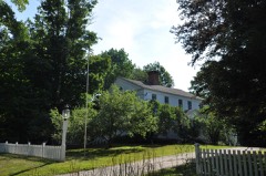 John C. Coffing Houselisted 1990
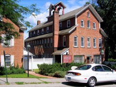 Lakeville Historic Districtlisted 1996
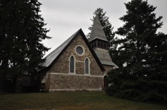 Lime Rock Historic Districtlisted 1984
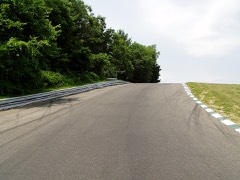 Lime Rock Park Race Tracklisted 2009
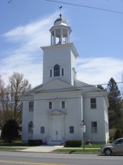 Salisbury Center Historic Districtlisted 1997
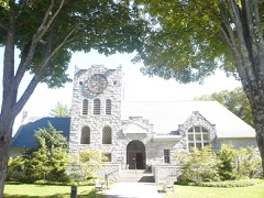 Scoville Memorial Librarylisted 1982
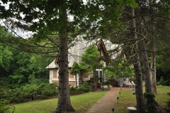 Scoville Powerhouselisted 1984
Topographic sheets covering this place
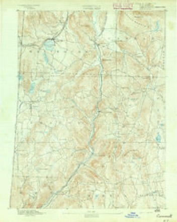
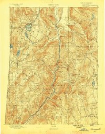
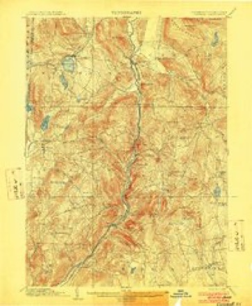
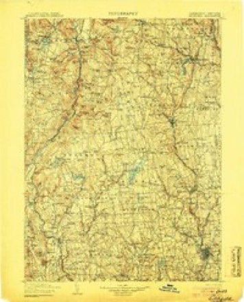
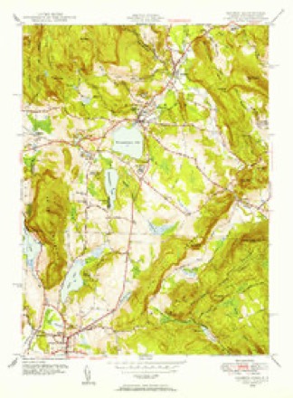
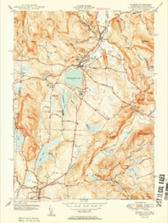
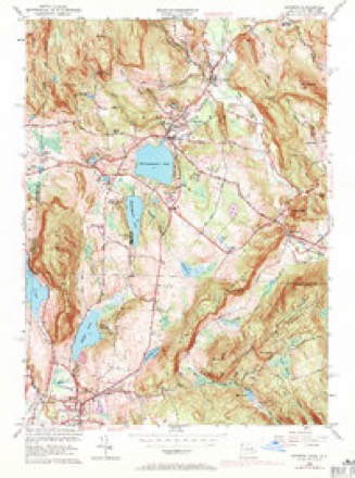
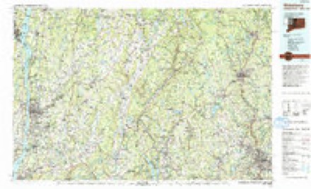
14 surveys from 35 printed sheetsMatched by testing this settlement's coordinate against the published boundary of every sheet in the United States Geological Survey's historical collection. Each opens the scanned sheet at the Survey.
- 1892 USGS Cornwall quadrangle1:62500
- 1893 USGS Cornwall quadrangle1:62500, 3 printings
- 1903 USGS Cornwall quadrangle1:62500, 9 printings
- 1904 USGS Litchfield quadrangle1:125000, 3 printings
- 1947 USGS Hartford quadrangle1:250000, 2 printings
- 1948 USGS Hartford quadrangle1:250000, 2 printings
- 1948 USGS Sharon quadrangle1:31680
- 1950 USGS Sharon quadrangle1:31680, 2 printings
- 1956 USGS Sharon quadrangle1:24000, 4 printings
- 1961 USGS Hartford quadrangle1:250000
- 1962 USGS Hartford quadrangle1:250000, 3 printings
- 1965 USGS Hartford quadrangle1:250000, 2 printings
- 1985 USGS Waterbury quadrangle1:100000
- 1993 USGS Waterbury quadrangle1:100000





What happened here
An account from the chapter on Salisbury town. The inset identifies its exact source book and publication year.
War Of 1812
WAR OF 1812. In the war of 1812 several non-commissioned officers and privates enlisted from this town, although it is not known that more than one of them was slain in battle. John O'Kain was killed in the battle of Bridgewater. It is said of him that while lying upon the ground, after receiving his mortal wound, he twice discharged his musket at the enemy.
In the county-history sources
13,022 words on this townshipHistory of Litchfield County, Connecticut, published 1881 names this settlement in its chapter on Salisbury Town. These are the passages that mention it, exactly as the scans read.
The town of Salisbury is located in the northwest corner of the county and State, and is bounded as follows: on the north by Berkshire Co., Mass., on the east by Canaan and North Canaan, on the south by Sharon, and on the west by the counties of Columbia and Dutchess, in the State of New York. The surface of the town is broken, consisting of elevated hills and deep valleys. The valleys are generally limestone, while on the hills granite predominates.
Passage source: History of Litchfield County, Connecticut, published 1881.
The territory now including the towns of Salisbury, Sharon, Canaan, and Norfolk, before the survey of these towns was made, was known as the " Western Lands." The first grant made of lands in this town by the General Court was made to William Gaylord, of New Milford. This grant embraced nearly the whole of the Weatogue intervals. Many other grants were subsequently made before the sale of the town to proprietors ; among these were Woodbridge's,
Passage source: History of Litchfield County, Connecticut, published 1881.
In New England the church and the school were equal objects of care, and, although our Salisbury ancestors professed as their first object a desire to be gathered into church estate, yet this estate was understood by them to include the school as a consequence.
Passage source: History of Litchfield County, Connecticut, published 1881.
Machine-read from a century-old scan, so expect the errors a machine makes: misspelled names, dropped words, stray characters.
Read the whole chapter on Salisbury Town - it names this place 18 more 18 times.
Fires near this place
103 since 1992Regional context, not property-specific evidence. The federal wildfire occurrence database lists 103 fires within 5 miles of Salisbury between 1992 and 2020, burning about 220 acres in total. 2 started naturally. 5 were recorded as arson. Distance is straight-line from the map coordinates, so a fire counted here may appear on a neighbouring settlement's page as well.
| Reported cause | Fires |
|---|---|
| Missing data/not specified/undetermined | 75 |
| Debris and open burning | 14 |
| Recreation and ceremony | 6 |
| Arson/incendiarism | 5 |
| Natural | 2 |
| Misuse of fire by a minor | 1 |
The most recent of them, most recent first, with the day each was reported and the service that recorded it.
| Date | Cause | Size | Reported by | Name on the report |
|---|---|---|---|---|
| 30 September 1995 | Recreation and ceremony | under an acre | Connecticut Division of Forestry | not named |
| 3 September 2017 | Missing data/not specified/undetermined | under an acre | Connecticut Division of Forestry | 386 SALISBURY RD (RT |
| 25 September 2016 | Missing data/not specified/undetermined | under an acre | Connecticut Division of Forestry | 42 ETHAN ALLLEN STREET SALISBURY |
| 24 September 2007 | Missing data/not specified/undetermined | under an acre | Connecticut Division of Forestry | not named |
| 20 September 2020 | Recreation and ceremony | under an acre | Connecticut Division of Forestry | 341 MILLERTON ROAD |
| 4 August 2015 | Natural | under an acre | Fire Department of New York | N/A |
| 29 August 2008 | Missing data/not specified/undetermined | under an acre | Connecticut Division of Forestry | not named |
| 6 July 2019 | Missing data/not specified/undetermined | under an acre | Connecticut Division of Forestry | not named |
Settlements close enough to share some of these fires:
Mines and quarries near this place
10 of 34 shownRegional context, not property-specific evidence. The federal mineral resources record lists 34 workings within 5 miles of Salisbury: 30 past producers, 4 producers. 4 still produce. What was taken out: Iron, Iron, Manganese, Marble, Dimension, Stone. Distance is straight-line from the map coordinates, so a quarry counted here may appear on a neighbouring settlement's page as well.
| Where | Site | Commodity | Status | Recorded |
|---|---|---|---|---|
| Clarke Mine | Iron, Stone, Crushed/Broken | Past Producer | ||
| Connecticut Sand & Gravel Co. Pit | Sand and Gravel, Construction | Producer | ||
| Dakin Limonite Mine | Iron, Manganese, Zinc | Past Producer | Goethite, Limonite | |
| Dakin Limonite Mine | Iron, Manganese, Zinc | Past Producer | ||
| Falls Village Quarry | Limestone, General | Past Producer | Sedimentary | |
| Scoville Mine | Iron, Manganese | Past Producer | ||
| Falls Village Quarry | Stone, Crushed/Broken, Marble, Dimension | Producer | ||
| Limerock Quarries | Stone, Crushed/Broken | Past Producer | ||
| Limestone Rock Quarries No. Fi-009 | Stone | Producer | Marble | |
| Limestone Rock Quarry No. Fi-008 | Stone | Producer | Marble |
Storms near this place
26 since 1997Regional context, not property-specific evidence. The National Weather Service names Salisbury in 26 storm reports between 1997 and 2023: 23 thunderstorm wind, 2 flash flood, 1 tornado. No death or injury is recorded in these reports. Each account below is quoted exactly as the forecast office filed it, from the NOAA Storm Events Database, and each date opens the federal record of that event.
| When | Event | Place named | Harm | What the report says |
|---|---|---|---|---|
| June 2001 | Thunderstorm Wind | Salisbury | $75,000 | A lone thunderstorm produced a microburst as it moved over the Taconic section of Salisbury, in Litchfield County during the evening of June 30. This mircroburst hit a portion of South Shore Road, along Lake Washinee. The microburst covered an area less than a mile in diameter. Winds from the storm actually pushed a house a foot off its foundation causing considerable structural damage and forcing the family to evacuate. In addition, the roof over the adjacent deck collapsed, destroying the porch. Also, many large pine trees fell, one of which curshed a new car. There had been a party at the house, with 55 guests. Luckily, none of them was injured. |
| June 2002 | Tornado (F1) | Salisbury | $40,000 | Thunderstorms erupted during the evening hours of June 5 across eastern New York, along a pre-frontal trough of low pressure. As the line of storms moved into Litchfield County, one cell became tornadic. A thunderstorm cell spawned a tornado, 2.5 miles north of Salisbury. There were two distinct touchdowns. The damage was reported by the general public and was investigated by National Weather Service meteorologist. It exclusively consisted of tree damage. The first touchdown, with a 100 yard-wide swath and a 0.5 mile path length took out a large area of trees, in a herringbone pattern, including many large oak trees up to 20 inches in diameter. The winds were estimated at 110 mph. The twister apparently lifted off the ground, then about a quarter mile east and a little south from the first path, the twister touched down again and knocked down another bunch of oak trees up to a foot in diameter, more indicative of F0 damage .The wind with this touchdown was estimated around 70 mph. The tornado destroyed a total of about 2 acres of healthy mature forest but no injuries or damage to structures was noted. |
| July 2010 | Thunderstorm Wind | Salisbury | $30,000 | A roof was reported blown off a house on Factory-Washinee Road in Salisbury due to strong thunderstorm winds. |
| July 2002 | Thunderstorm Wind | Salisbury | $25,000 | no account filed |
| July 1997 | Thunderstorm Wind | Salisbury | $4,000 | no account filed |
| September 2023 | Thunderstorm Wind | Salisbury | $1,000 | Large tree limbs were reported down. |
| June 1998 | Thunderstorm Wind | Salisbury | $1,000 | no account filed |
| March 2022 | Thunderstorm Wind | Salisbury | - | Trees were reported down. |
| September 2018 | Flash Flood | Salisbury | - | Multiple washouts were reported along Route 44 near Salisbury with debris and rocks in the road. |
| June 2017 | Thunderstorm Wind | Salisbury | - | Trees and power lines were down on Under Mountain Road in Salisbury due to thunderstorm winds. |
| September 2016 | Thunderstorm Wind | Salisbury | - | Trees and wires were downed in Salisbury due to thunderstorm winds. |
| May 2013 | Thunderstorm Wind | Salisbury | - | Multiple trees and wires were reported down as a result of thunderstorm winds in Salisbury. |
| May 2013 | Thunderstorm Wind | Salisbury | - | Amateur radio reported multiple trees down and on power lines due to thunderstorm winds in Salisbury. |
| September 2012 | Thunderstorm Wind | Salisbury | - | Trees were reported down due to thunderstorm winds in Salisbury. |
| June 2011 | Thunderstorm Wind | Salisbury | - | Trees and wires were reported down in Salisbury due to strong thunderstorm winds. |
| June 2011 | Thunderstorm Wind | Salisbury | - | Trees were reported down on Route 41 in Salisbury due to strong thunderstorm winds. |
| July 2010 | Thunderstorm Wind | Salisbury | - | Trees and wires were reported down along Routes 44 and 41 in Salisbury due to strong thunderstorm winds. |
| July 2009 | Thunderstorm Wind | Salisbury | - | Trees were reported down along Route 41 and Route 44 in Salisbury due to strong thunderstorm winds. |
| August 2007 | Thunderstorm Wind | Salisbury | - | Trees and wires were reported down in Salisbury due to strong thunderstorm winds. |
| July 2006 | Thunderstorm Wind | Salisbury | - | A trained spotter reported that trees were blown down, in Salisbury. |
| August 2006 | Thunderstorm Wind | Salisbury | - | An Emergency Manager reported that trees and wires were blown down in Salisbury. |
| July 2005 | Flash Flood | Salisbury | - | Flooding of streams at Salisbury. |
| May 2004 | Thunderstorm Wind | Salisbury | - | 3 to 4 trees down. |
| July 2004 | Thunderstorm Wind | Salisbury | - | Trees down across the road near Route 44. |
| August 2004 | Thunderstorm Wind | Salisbury | - | Trees and wires down. |
| September 2003 | Thunderstorm Wind | Salisbury | - | no account filed |
Nearest settlements
The eight closest, with where each one stands in the county. Distances are straight-line, computed from the Geographic Names Information System coordinates.
| Map | Place | Distance | Sheets |
|---|---|---|---|
| Lakeville | 1.6 miles | 35 | |
| Interlaken Estates | 2.6 miles | 35 | |
| Amesville | 2.8 miles | 35 | |
| Ore Hill | 3.0 miles | 35 | |
| Twin Lakes | 3.0 miles | 44 | |
| Falls Village | 3.6 miles | 37 | |
| Taconic | 3.7 miles | 44 | |
| Pine Grove | 3.7 miles | 37 |
Elsewhere
Matched on this settlement's Geographic Names Information System number rather than its name, so it cannot be a different place of the same name in another state.
| Wikidata item Q141422644 | The structured record the population and elevation above come from. Public domain (CC0). |
Provenance
This settlement is recorded in the Geographic Names Information System as feature 210608. The sheet list is computed by point-in-boundary test against the United States Geological Survey's historical topographic inventory. Both are works of the United States government and carry no copyright under 17 U.S.C. 105.
Wildfire. Short, Karen C. 2022. Spatial wildfire occurrence data for the United States, 1992-2020 [FPA_FOD_20221014]. 6th Edition. Fort Collins, CO: Forest Service Research Data Archive. https://doi.org/10.2737/RDS-2013-0009.6 Collected with United States Government funding and usable without additional permissions or fees.
Mines and quarries. USGS Mineral Resources Data System (MRDS) https://mrdata.usgs.gov/mrds/ A work of the United States government, no copyright under 17 U.S.C. 105.
Storms. NOAA National Centers for Environmental Information, Storm Events Database https://www.ncei.noaa.gov/stormevents/ A work of the United States government, no copyright under 17 U.S.C. 105. Narratives are quoted verbatim from the National Weather Service report and are not edited or summarised.