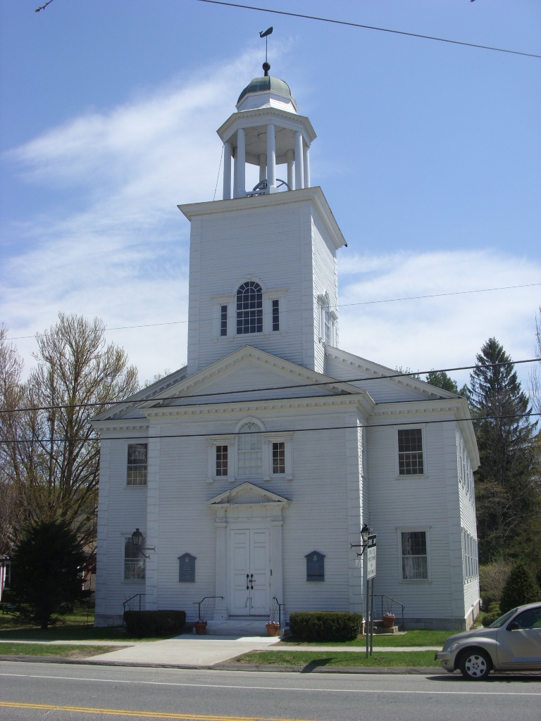
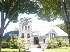
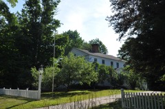
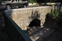
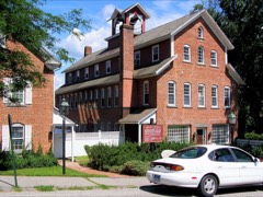
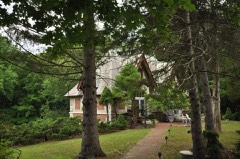
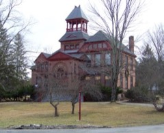
Listed on the National Register of Historic Places in 1997.
From the record
“The Salisbury Center Historic District encompasses the historic town center and main commercial district of Salisbury, Connecticut. Established in 1741, it has served in that role since, and now reflects a typical 19th-century small town center.”
Wikipedia article Salisbury Center Historic District, CC BY-SA 4.0.
One of 166 National Register listings published here for Litchfield County · listed in 1997 · category: District.
National Register reference number.97001115- the number the National Park Service assigned this property when it was listed, and the key its nomination file is catalogued under at the National Archives.
What happened here
An account from the chapter on Salisbury town. The inset identifies its exact
source book and publication year.
WAR OF 1812. In the war of 1812 several non-commissioned officers and privates enlisted from this town, although it is not known that more than one of them was slain in battle. John O'Kain was killed in the battle of Bridgewater. It is said of him that while lying upon the ground, after receiving his mortal wound, he twice discharged his musket at the enemy.
The town of Salisbury is located in the northwest corner of the county and State, and is bounded as follows: on the north by Berkshire Co., Mass., on the east by Canaan and North Canaan, on the south by Sharon, and on the west by the counties of Columbia and Dutchess, in the State of New York. The surface of the town is broken, consisting of elevated hills and deep valleys. The valleys are generally limestone, while on the hills granite predominates.
The territory now including the towns of Salisbury, Sharon, Canaan, and Norfolk, before the survey of these towns was made, was known as the " Western Lands." The first grant made of lands in this town by the General Court was made to William Gaylord, of New Milford. This grant embraced nearly the whole of the Weatogue intervals. Many other grants were subsequently made before the sale of the town to proprietors ; among these were Woodbridge's,
Regional context, not property-specific
evidence. The
federal wildfire occurrence database
lists 103 fires within 5 miles of Salisbury Center Historic District
between 1992 and 2020, burning about 220 acres in total. 2 started naturally. 5 were recorded as arson.
Distance is straight-line from the map coordinates, so a fire counted
here may appear on a neighbouring settlement's page as well.
Reported cause
Fires
Missing data/not specified/undetermined
75
Debris and open burning
14
Recreation and ceremony
6
Arson/incendiarism
5
Natural
2
Misuse of fire by a minor
1
The most recent of
them, most recent first, with the day each was reported and the service
that recorded it.
Regional context, not property-specific
evidence. The federal mineral resources record lists
34 workings within 5 miles of Salisbury Center Historic District: 30 past producers, 4 producers.
4 still produce. What was taken out: Iron, Iron, Manganese, Marble, Dimension, Stone. Distance is straight-line from the
map coordinates, so a quarry counted here may appear on a neighbouring
settlement's page as well.
Regional context, not property-specific
evidence. The National Weather Service names
Salisbury, the town this property stands in, in 26 storm reports between 1997 and 2023: 23 thunderstorm wind, 2 flash flood, 1 tornado.
No death or injury is recorded in these reports. Each account below is quoted exactly as the forecast office
filed it, from the NOAA Storm Events Database, and each date
opens the federal record of that event.
A lone thunderstorm produced a microburst as it moved over the Taconic section of Salisbury, in Litchfield County during the evening of June 30. This mircroburst hit a portion of South Shore Road, along Lake Washinee. The microburst covered an area less than a mile in diameter. Winds from the storm actually pushed a house a foot off its foundation causing considerable structural damage and forcing the family to evacuate. In addition, the roof over the adjacent deck collapsed, destroying the porch. Also, many large pine trees fell, one of which curshed a new car. There had been a party at the house, with 55 guests. Luckily, none of them was injured.
Thunderstorms erupted during the evening hours of June 5 across eastern New York, along a pre-frontal trough of low pressure. As the line of storms moved into Litchfield County, one cell became tornadic. A thunderstorm cell spawned a tornado, 2.5 miles north of Salisbury. There were two distinct touchdowns. The damage was reported by the general public and was investigated by National Weather Service meteorologist. It exclusively consisted of tree damage. The first touchdown, with a 100 yard-wide swath and a 0.5 mile path length took out a large area of trees, in a herringbone pattern, including many large oak trees up to 20 inches in diameter. The winds were estimated at 110 mph. The twister apparently lifted off the ground, then about a quarter mile east and a little south from the first path, the twister touched down again and knocked down another bunch of oak trees up to a foot in diameter, more indicative of F0 damage .The wind with this touchdown was estimated around 70 mph. The tornado destroyed a total of about 2 acres of healthy mature forest but no injuries or damage to structures was noted.
No historic map-sheet match is published
for this property yet. That does not mean no map exists. This record needs
a coordinate-quality review before it can be joined to a sheet boundary.
Browse the county's mapped places while that work is
pending.
Listed places nearby
6 within 8 miles
Other National Register properties close
enough to walk or drive between, ordered by distance from this one. Both
positions come from the same geocoding pass that matched these properties
to their map sheets.
Listing record. National Park Service National Register of Historic Places, listed-properties dataset, current to 2026-05-22.
Map join. Address geocoded through the United States Census geocoder, then tested against the published boundary of every sheet in the USGS Historical Topographic Map Collection.
How this page is made. Listing fields come from federal records; map-sheet coverage is a labelled coordinate-to-boundary calculation, not a source-field claim.
Wildfire. Short, Karen C. 2022. Spatial wildfire occurrence data for the United States, 1992-2020 [FPA_FOD_20221014]. 6th Edition. Fort Collins, CO: Forest Service Research Data Archive. https://doi.org/10.2737/RDS-2013-0009.6 Collected with United States Government funding and usable without additional permissions or fees.
Mines and quarries. USGS Mineral Resources Data System (MRDS) https://mrdata.usgs.gov/mrds/ A work of the United States government, no copyright under 17 U.S.C. 105.
Storms. NOAA National Centers for Environmental Information, Storm Events Database https://www.ncei.noaa.gov/stormevents/ A work of the United States government, no copyright under 17 U.S.C. 105. Narratives are quoted verbatim from the National Weather Service report and are not edited or summarised.
 Block