 Block
Scantic, Connecticut
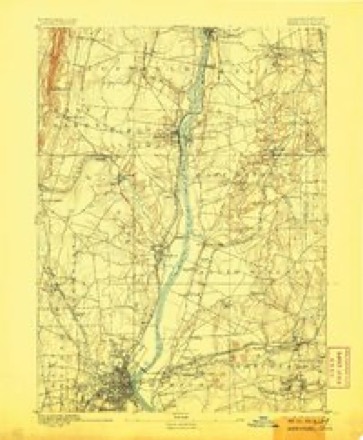
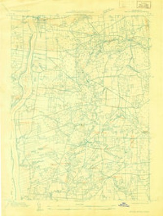
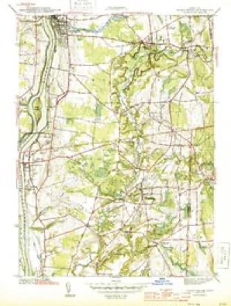
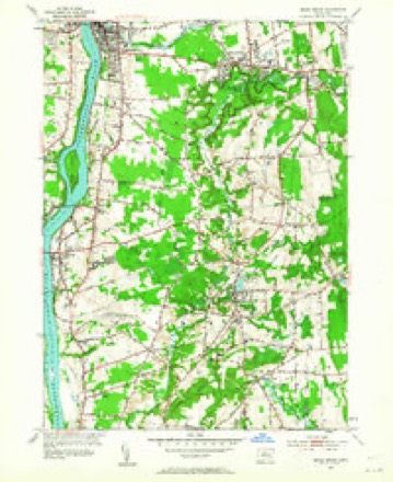
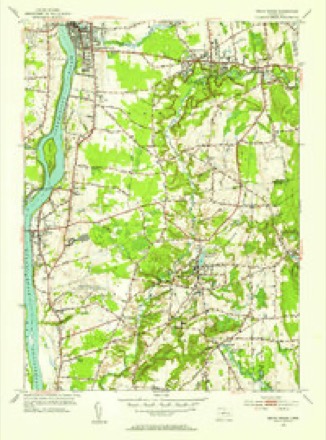
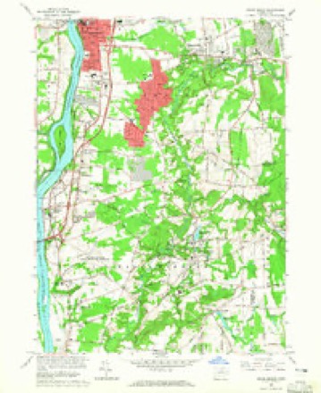
34 topographic sheets cover this place, the earliest surveyed in 1892 and the latest in 1994. It stands in East Windsor town. It lies in ZIP code area 06016. It stands on Spring Glen Brook. The Survey maps it on the Broad Brook quadrangle.
Topographic sheets covering this place
14 surveys from 34 printed sheetsMatched by testing this settlement's coordinate against the published boundary of every sheet in the United States Geological Survey's historical collection. Each opens the scanned sheet at the Survey.
- 1892 USGS Hartford quadrangle1:62500, 8 printings
- 1906 USGS Farmington quadrangle1:125000, 2 printings
- 1928 USGS Broad Brook quadrangle1:24000
- 1944 USGS Broad Brook quadrangle1:31680, 3 printings
- 1947 USGS Hartford quadrangle1:250000, 2 printings
- 1948 USGS Hartford quadrangle1:250000, 2 printings
- 1953 USGS Broad Brook quadrangle1:24000, 2 printings
- 1953 USGS Broad Brook quadrangle1:31680, 2 printings
- 1961 USGS Hartford quadrangle1:250000
- 1962 USGS Hartford quadrangle1:250000, 3 printings
- 1964 USGS Broad Brook quadrangle1:24000, 3 printings
- 1965 USGS Hartford quadrangle1:250000, 2 printings
- 1986 USGS Hartford quadrangle1:100000
- 1994 USGS Hartford quadrangle1:100000, 2 printings








In the county-history sources
8,852 words on this townshipThe Memorial History of Hartford County, Connecticut, 1633-1884;, published 1886 names this settlement in its chapter on East Windsor Town. These are the passages that mention it, exactly as the scans read.
A few years later there was still another earnest call for division and the creation of a new parish. The territory between the Scantic River on the south and Enfield on the north had so filled with inhabitants as to make a parish north of the Scantic River quite needful. Accordingly, at the May session of the General Court in 1752, after a full presentation of the case, the following action was taken : -
Passage source: The Memorial History of Hartford County, Connecticut, 1633-1884;, published 1886.
Before entering upon tJie details of the religious and ecclesiastical history of the town, it may be well to try and recall the condition of things in those years when what is now the First Congregational Church in East Windsor came into being. This carries us back to the middle of the last century, about one hundred and thirty years. At that time the strength of the population on the east side of the river was in what is now South Windsor. There the settlements began ; there society had become strong and established, while the more northern portions were yet in a half-wild state. The Street, that chief road lying near the banks of the river, had been built upon more or less compactly all the way from the Hartford to the Enfield line. Above the Scantic River this street was by no means so fully occupied with dwellings as below, though it was far more thickly populated than any other part of the Scantic parish. From this street out to the eastern line of the parish was a distance of six miles or more, and all this territory was as yet but very sparsely popidated. When the Scantic meetinghouse was built, near where it now stands, it was only a mile and a half from The Street, and yet the dwellers along that thorouglifare complained that it was too far off in the woods. Azel S. Roe, Esq., in his " History of the First Ecclesiastical Society of East Windsor," has given us some graphic pictures showing the primitive state of things in
Passage source: The Memorial History of Hartford County, Connecticut, 1633-1884;, published 1886.
The Rev. Shubael Bartlett, the second minister of the Scantic parish, was born in the town of Lebanon, April 2, 1778. His father was John Bartlett, one of the deacons of tiie church. He was graduated at Yale College in the year 1800. His college life was cast in that period of the Yale College history when the institution was reli- /'ij^ / j/f,^ a/ f / /^ /J /} y/^~ giously at its lowest {^/^^/^l^^M^t/l/ ^<^ fy/4^/^'//.^j> ebb. He was or dained to the pastoral office in this parish Feb. 15, 1804, and remained here fifty years, till his death, June 6, 1854. A year or two before his ordination he had been united in marriage with Miss Fanny Leffingwell, of Hartford. The two ministries of Mr. Potwine and IVIr. Bartlett filled out almost exactly a century. The ministry of Mr. Bartlett Avas an exceedingly fruitful one ; not hj reason of great intellectual powers or high pulpit eloquence, but from his faithfulness and patience, his truly Christian walk and conversation. He was thoroughly acquainted with every household of his widely scattered flock. The little children knew him and were not afraid of him. His home was an open and hospitable one, and his gentle-hearted wife was a thorough helpmeet in her kind and winning words and ways. Together they lived, and labored to draw the people of their charge to walk in the ways of wisdom and in the paths of peace.
Passage source: The Memorial History of Hartford County, Connecticut, 1633-1884;, published 1886.
Machine-read from a century-old scan, so expect the errors a machine makes: misspelled names, dropped words, stray characters.
Read the whole chapter on East Windsor Town - it names this place 7 more 7 times.
Fires near this place
80 since 1992Regional context, not property-specific evidence. The federal wildfire occurrence database lists 80 fires within 5 miles of Scantic between 1992 and 2020, burning about 59 acres in total. None started naturally. 2 were recorded as arson. Distance is straight-line from the map coordinates, so a fire counted here may appear on a neighbouring settlement's page as well.
| Reported cause | Fires |
|---|---|
| Missing data/not specified/undetermined | 58 |
| Debris and open burning | 11 |
| Smoking | 5 |
| Arson/incendiarism | 2 |
| Recreation and ceremony | 2 |
| Other causes | 1 |
| Misuse of fire by a minor | 1 |
The most recent of them, most recent first, with the day each was reported and the service that recorded it.
| Date | Cause | Size | Reported by | Name on the report |
|---|---|---|---|---|
| 7 September 2015 | Missing data/not specified/undetermined | under an acre | Connecticut Division of Forestry | not named |
| 7 September 2015 | Missing data/not specified/undetermined | under an acre | Connecticut Division of Forestry | not named |
| 7 September 2015 | Missing data/not specified/undetermined | under an acre | Connecticut Division of Forestry | not named |
| 21 September 2015 | Missing data/not specified/undetermined | under an acre | Connecticut Division of Forestry | not named |
| 9 July 2010 | Missing data/not specified/undetermined | 1.0 acres | Connecticut Division of Forestry | not named |
| 10 July 2019 | Missing data/not specified/undetermined | under an acre | Connecticut Division of Forestry | not named |
| 24 June 2020 | Missing data/not specified/undetermined | under an acre | Connecticut Division of Forestry | PLANTATION RD/WAPPING RD |
| 23 June 2020 | Missing data/not specified/undetermined | under an acre | Connecticut Division of Forestry | 229 SOUTH WATER STREET |
Settlements close enough to share some of these fires:
Mines and quarries near this place
10 of 16 shownRegional context, not property-specific evidence. The federal mineral resources record lists 16 workings within 5 miles of Scantic: 9 past producers, 6 producers, 1 unknown. 6 still produce. What was taken out: Sand and Gravel, Construction, Flagstone, Clay, Stone, Dimension. Distance is straight-line from the map coordinates, so a quarry counted here may appear on a neighbouring settlement's page as well.
| Where | Site | Commodity | Status | Recorded |
|---|---|---|---|---|
| K-F Pit | Clay, Stone, Crushed/Broken | Producer | ||
| Sandstone Rock Quarries No. Bi-007 | Stone, Dimension | Past Producer | 1900 | |
| Sandstone Rock Quarry No. Ci-006 | Stone, Dimension | Past Producer | Sandstone | |
| Clay Pits No. Ci-007 | Clay | Producer | Clay | |
| K-F Pit | Clay | Past Producer | Sedimentary | |
| Brownstone Quarry | Flagstone | Past Producer | ||
| Brownstone Quarry | Flagstone | Past Producer | ||
| Sandstone Quarry #Bi-007 | Flagstone | Past Producer | ||
| Sandstone Quarry #Ci-009 | Flagstone | Past Producer | ||
| Chapman Sand and Gravel | Sand and Gravel, Construction | Past Producer |
Nearest settlements
The eight closest, with where each one stands in the county. Distances are straight-line, computed from the Geographic Names Information System coordinates.
| Map | Place | Distance | Sheets |
|---|---|---|---|
| Windsorville | 1.0 miles | 34 | |
| Broad Brook | 1.2 miles | 34 | |
| Mill Pond Village | 1.8 miles | 34 | |
| Farnhams | 2.3 miles | 35 | |
| Melrose | 3.3 miles | 34 | |
| East Windsor Hill | 3.6 miles | 35 | |
| Spring Village | 3.7 miles | 34 | |
| Hayden | 4.1 miles | 32 |
Provenance
This settlement is recorded in the Geographic Names Information System as feature 212564. The sheet list is computed by point-in-boundary test against the United States Geological Survey's historical topographic inventory. Both are works of the United States government and carry no copyright under 17 U.S.C. 105.
Wildfire. Short, Karen C. 2022. Spatial wildfire occurrence data for the United States, 1992-2020 [FPA_FOD_20221014]. 6th Edition. Fort Collins, CO: Forest Service Research Data Archive. https://doi.org/10.2737/RDS-2013-0009.6 Collected with United States Government funding and usable without additional permissions or fees.
Mines and quarries. USGS Mineral Resources Data System (MRDS) https://mrdata.usgs.gov/mrds/ A work of the United States government, no copyright under 17 U.S.C. 105.