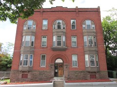
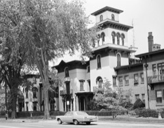
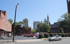
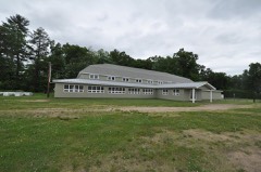
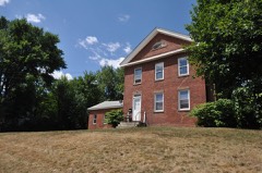
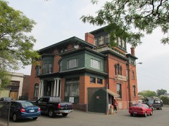
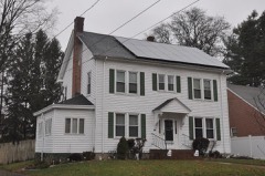
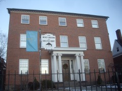
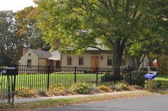
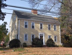
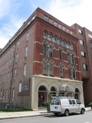
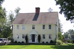
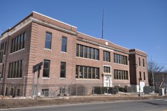
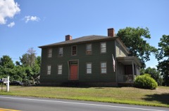
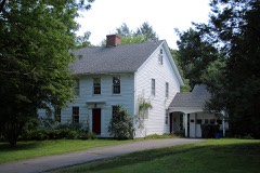
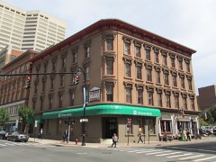
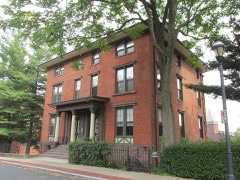
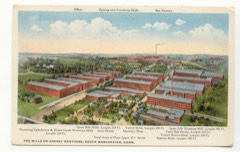
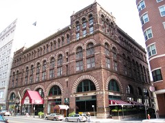
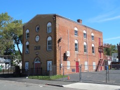
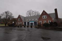
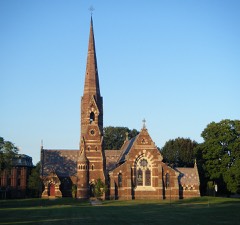
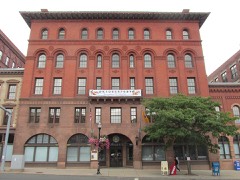
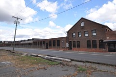
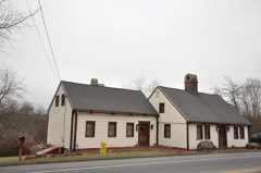
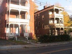
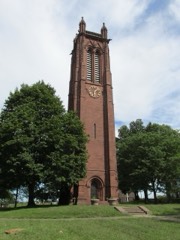
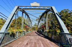
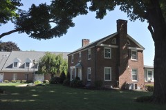
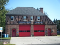
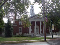
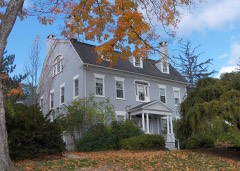
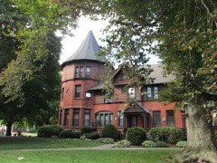
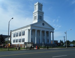
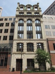
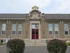
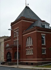
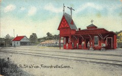
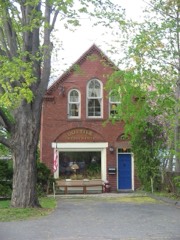
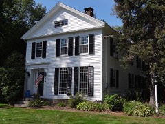
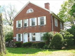
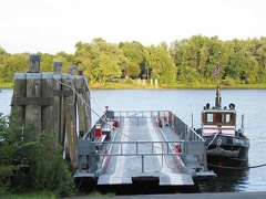
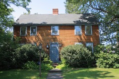
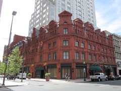
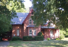
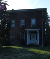
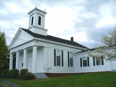
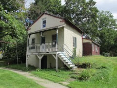
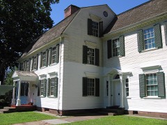
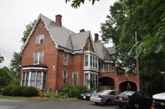
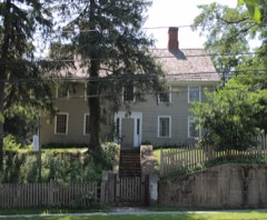
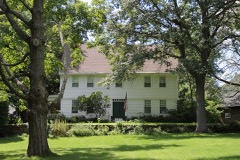
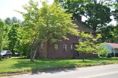
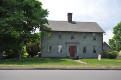
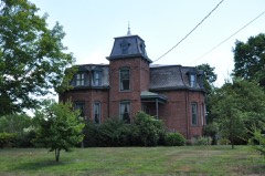
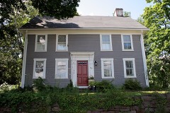
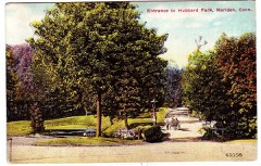
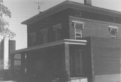
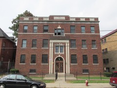
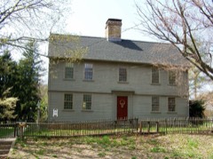
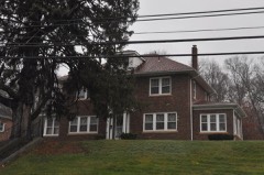
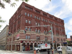
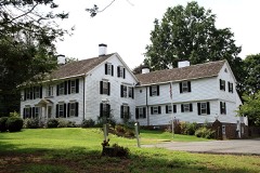
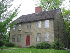
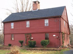
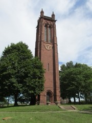
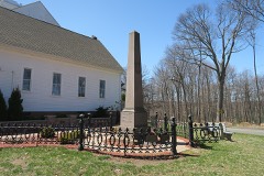
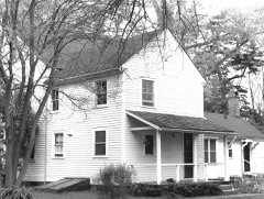
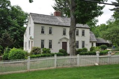
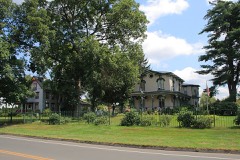
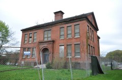
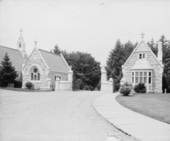
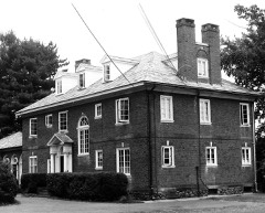
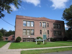
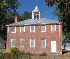
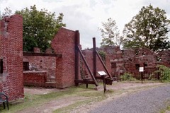
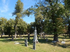
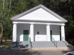
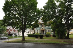
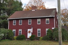
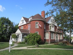
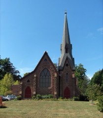
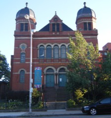
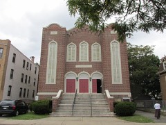
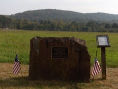
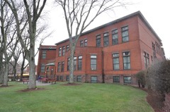
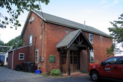
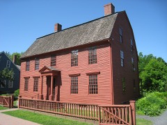
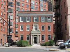
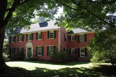
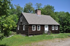
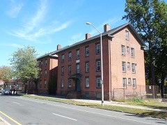
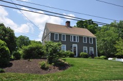
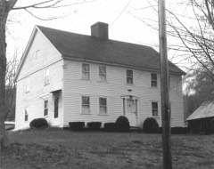
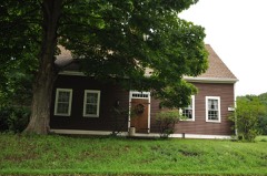
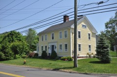
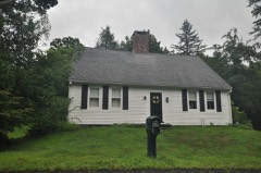
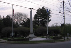
451 National Register listings published here, 21 of them National Historic Landmarks · the county-history sources tell 1 story and name 10 people · people the book names include By Sherman W. Adams (Rocky Hill Town, 1886) · By David N. Camp (New Britain Town, 1886) (machine-read).
Connecticut within the United StatesHartford County within Connecticut
What the record shows
6,389 topographic sheet readings cover the county's settlements.
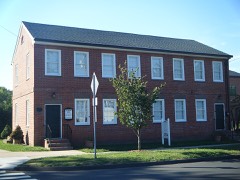
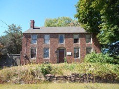
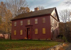
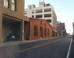
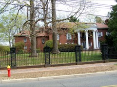
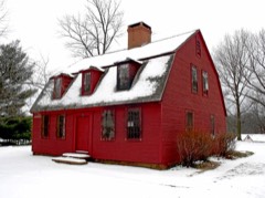
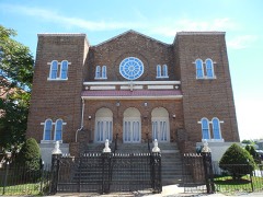
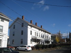
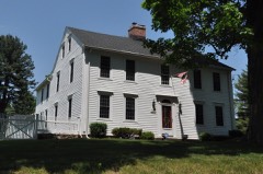
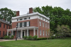
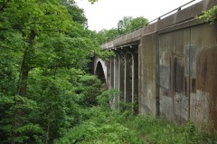
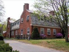
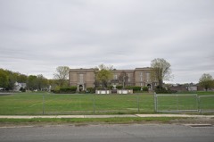
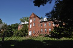
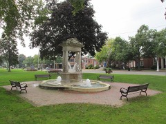
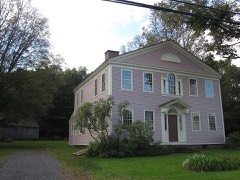
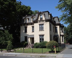
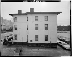
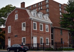
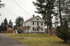
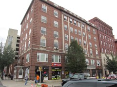
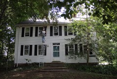
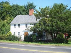
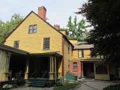
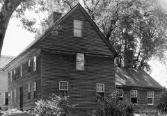
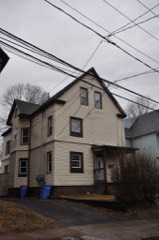
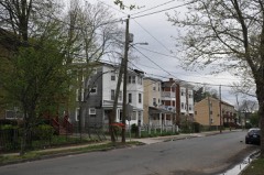
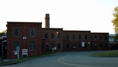
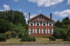
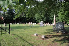
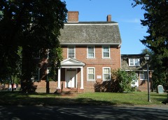
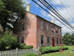
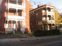
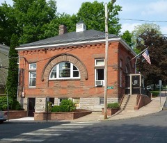
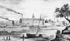
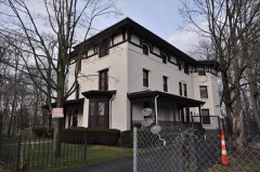
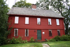
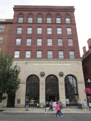
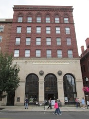
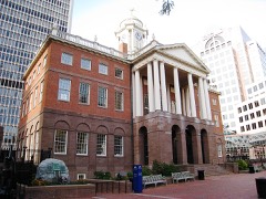
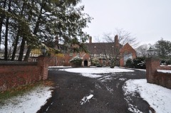
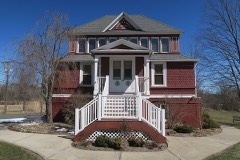
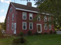
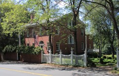
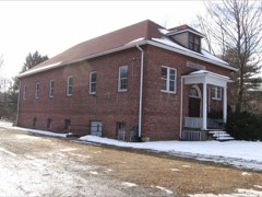
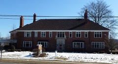
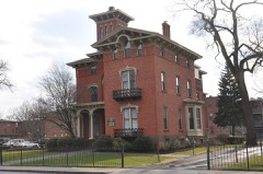
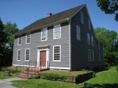
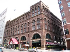
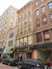
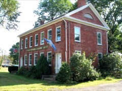
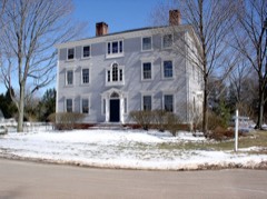
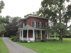
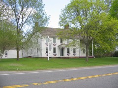
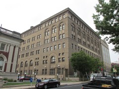
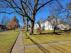
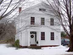
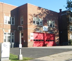
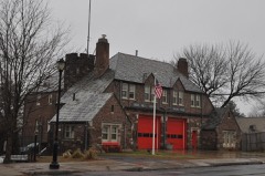
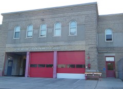
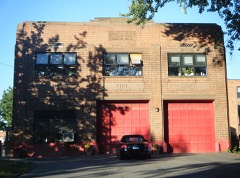
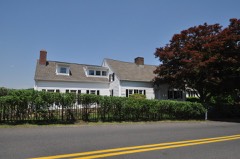
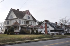
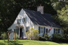
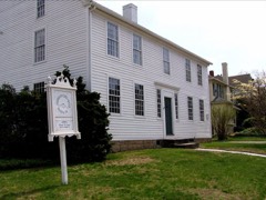
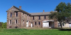
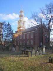
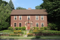
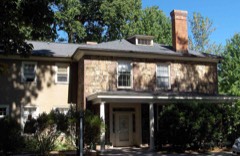
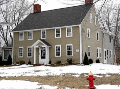
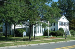
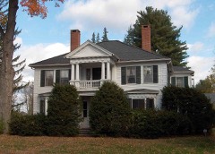
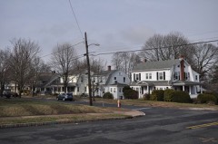
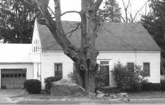
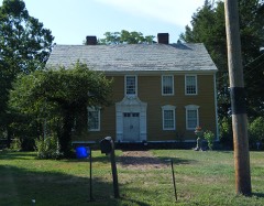
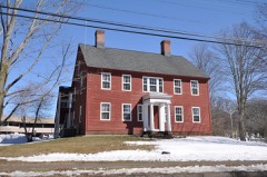
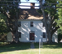
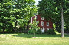
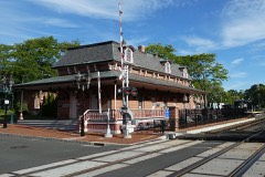
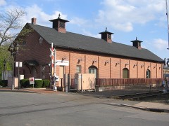
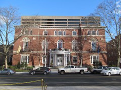
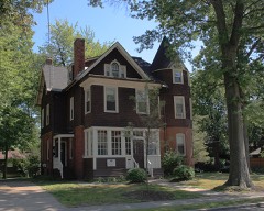
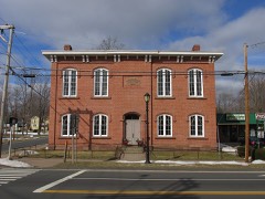
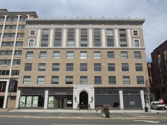
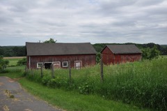
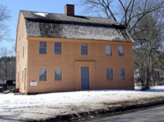
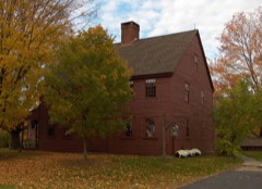
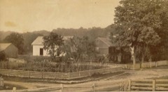
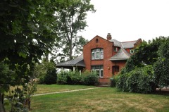
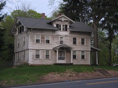
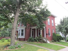
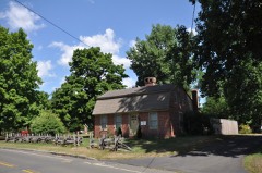
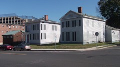
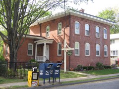
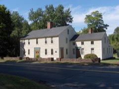
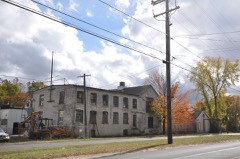
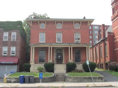
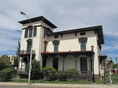
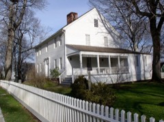
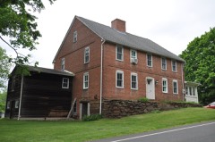
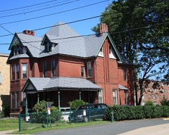
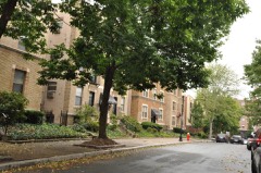
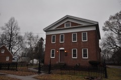
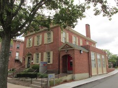
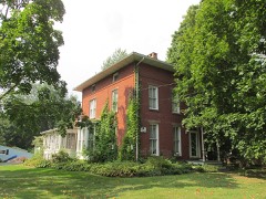
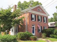
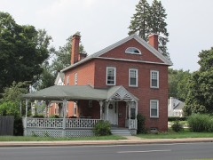
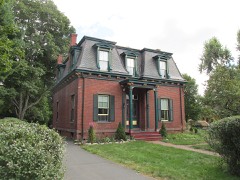
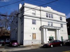
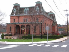
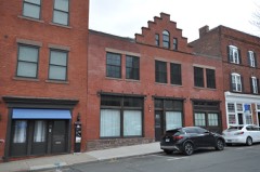
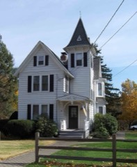
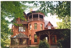
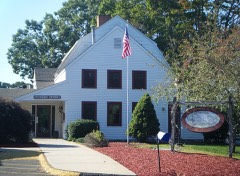
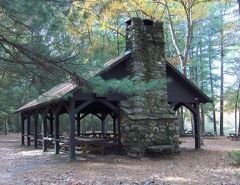
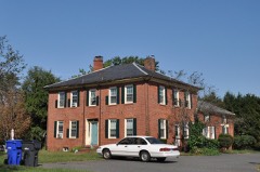
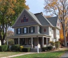
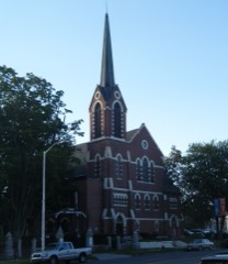
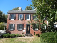
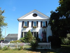
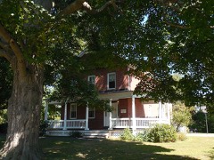
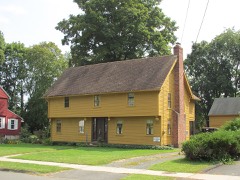
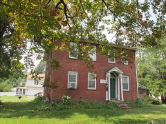
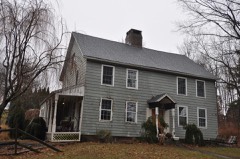
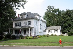
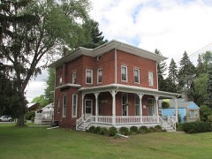
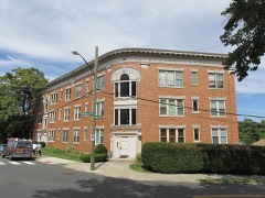
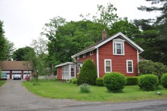
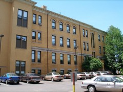
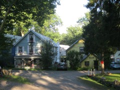
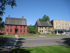
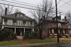
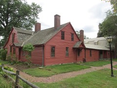
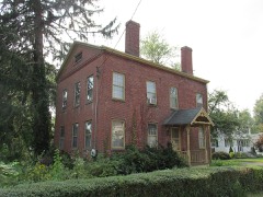
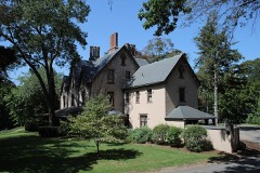
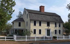
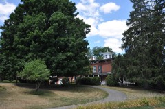
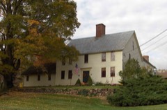
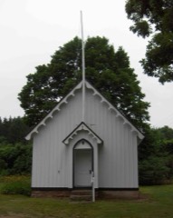
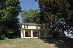
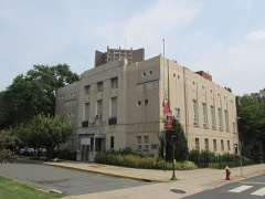
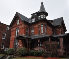
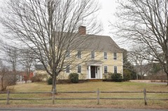
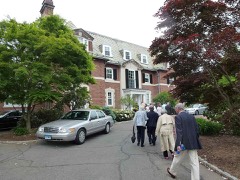
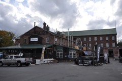
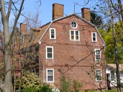
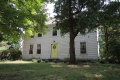
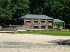
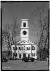
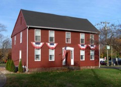
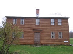
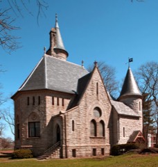
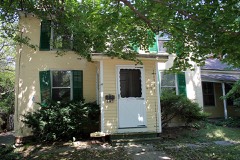
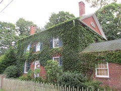
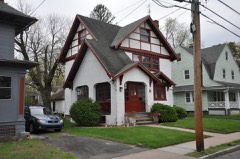
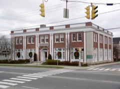
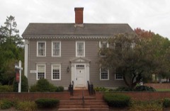
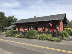
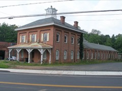
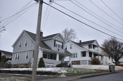
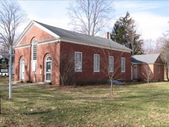
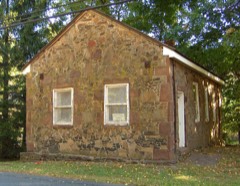
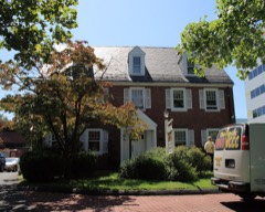
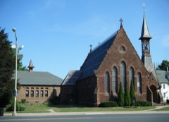
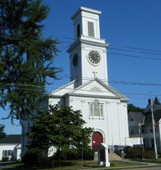
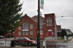
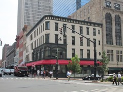
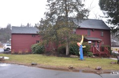
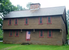
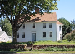
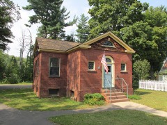
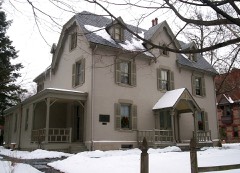
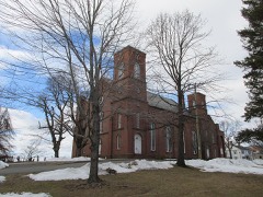
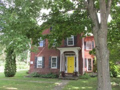
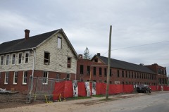
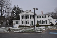
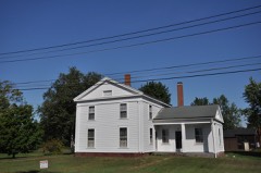
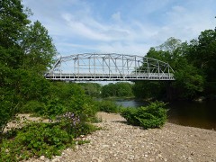
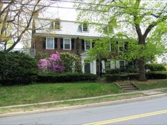
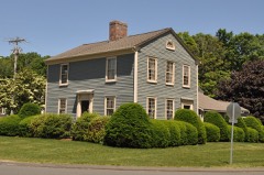
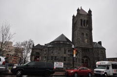
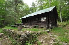
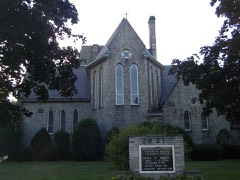
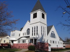
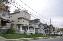
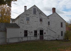
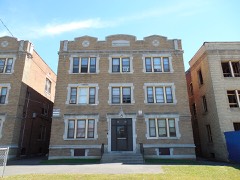
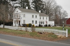
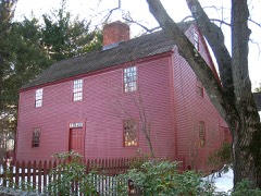
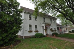
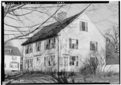
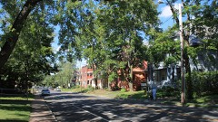
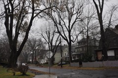
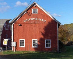
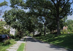
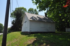
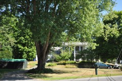
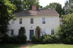
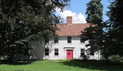
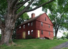
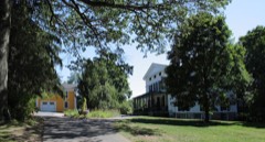
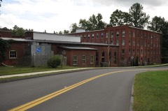
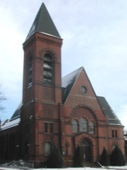
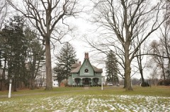
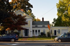
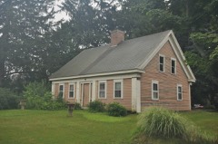
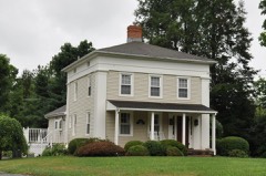
451 properties here are on the National Register of Historic Places: 313 buildings, 120 districts, 10 structures, 7 sites and 1 object.
95 of the 451 listings were added during the 1970s.
The Geographic Names Information System records 186 populated places in this county; 185 are covered by at least one topographic sheet.
2 public-domain county histories, 1886 and 1928, supply 229,390 words of narrative reproduced here.
What happened here
1 accounts
Among them: West Hartfoed. These passages come from the
identified county-history source books. Each inset names its own source
and opens the exact section it comes from.
The most remarkable pastorate was that of Nathan Perkins. He served sixty-six years, liis pastorate being ^yell begun when the first shot was fired at Lexington, and not quite over when the financial panic of 1837 occurred. Thoug]i probably inferior in nj,tural ability to his distinguished y'^^
Every wildfire the federal occurrence
database records inside this county: 361 of them, burning
about 1,295 acres. 3 started naturally and 45 were recorded as arson. Each settlement page carries the fires within
five miles of it.
Reported cause
Fires
Missing data/not specified/undetermined
205
Arson/incendiarism
45
Debris and open burning
38
Recreation and ceremony
28
Misuse of fire by a minor
18
Smoking
15
Equipment and vehicle use
5
Natural
3
Power generation/transmission/distribution
2
Other causes
1
Fireworks
1
The five largest, by the area the report
gives. Four of them were set deliberately.
Date
Cause
Size
Reported by
Name on the report
19 April 2008
Missing data/not specified/undetermined
175 acres
Connecticut Division of Forestry
not named
10 November 1999
Missing data/not specified/undetermined
110 acres
Connecticut Division of Forestry
not named
3 June 1999
Misuse of fire by a minor
75 acres
Connecticut Division of Forestry
not named
3 September 1995
Recreation and ceremony
70 acres
Connecticut Division of Forestry
not named
14 April 1999
Arson/incendiarism
51 acres
Connecticut Division of Forestry
not named
30 April 1992
Arson/incendiarism
50 acres
Connecticut Division of Forestry
not named
1 May 1999
Arson/incendiarism
44 acres
Connecticut Division of Forestry
not named
24 April 2016
Arson/incendiarism
40 acres
Connecticut Division of Forestry
CAMP CARLSON FIRE/SOUTH MOUNTAIN/WYLLIS ROAD
Every settlement page carries the fires within five
miles of it - see the settlement index below.
Storms,
1954 to 2025
60 of 807 shown
The
NOAA Storm Events Database holds
807 reports for this county, causing 4 deaths, 533 injuries and about $281,421,300 in recorded property damage.
Each settlement page carries the reports that name it.
Kind of event
Reports
Thunderstorm Wind
433
Hail
166
Flash Flood
92
Flood
53
Lightning
31
Tornado
18
Heavy Rain
12
Funnel Cloud
2
The most serious of them, by death, then
injury, then recorded damage. The accounts are quoted exactly as the
forecast office filed them.
Four to ten inches of heavy rain from Tropical Storm Irene resulted in the Pequabuck River overflowing its banks. This led to flooding on roads and homes along the river throughout Bristol. Flooded roads ran approximately three and a half feet deep. A 46 year old man went canoeing in floodwaters. He drowned when his canoe capsized and he was unable to make it to shore. At least 50 people were evacuated from areas around the river, and took shelter at Chippens Hill Middle School. The river flooding undermined at least 7 feet of Route 72 eastbound, washing out this portion of the road. Numerous houses and businesses were affected by the flooding. Forty high water rescues took place in Bristol.
An EF1 tornado touched down on Hayden Station Road in Windsor and continued moving northeastward through portions of Windsor Locks and across the Connecticut River, ending in the 200 block of Main Street in East Windsor. ||The roof was blown off a warehouse on Hayden Station Road in Windsor. Numerous trees were downed near Raymond Road and Alicia Terrace, including some that were downed onto cars and houses. Shingles were blown off houses on Preston Road and Gaylord Road. As the tornado traveled northeastward, tobacco tents were ripped off the tobacco fields and some tobacco was flattened. This can be seen from Interstate 91. Several eyewitnesses reported debris being lofted into the air and noise that sounded like a freight train as the tornado moved through. While much of the damage was rated EF-0, there were several small areas of EF-1 damage. EF-1 damage included a sports bubble collapsing at Sports World in East Windsor and blowing onto Interstate 91, blocking two lanes on the southbound side. Additionally, reports were received of a semi truck that was blown over on Interstate 91 south at exit 44 in East Windsor.
A narrow tornado moved through Wethersfield. The NWS storm survey team found damage beginning near the intersection of Nott Street and Park Avenue and continuing southeast into a cornfield along Elm Street, between Maple Street and Interstate 91. ||Along this track, numerous trees were downed. One of these trees fell onto a car on Park Avenue, trapping a person. Another fallen tree blocked the exit ramp of Exit 24 on Interstate 91. Many of these trees were large, healthy oak trees that were sliced in half, sheared off at their bases, or uprooted. One tree fell onto a house with such force it split the house in half. Two of the residents were inside the house at the time, but escaped without injury. One injury indirectly occurred as a result of this tornado, when a split branch high up in a tree fell the following day, striking a person.||In the cornfield at the end of the tornado track, cornstalks were found flattened in a criss-cross pattern. Farther into the cornfield, cornstalks were found to have not been impacted at all by the winds. ||At a sporting goods store along the tornado track, a kayak inside the store was sucked out onto the road through a front window.
There was widespread, damaging flash flooding throughout Manchester. Fire officials evacuated 18 homes due to flash flooding. The Hartford Courant newspaper had a photo of a culvert collapse on Ambassador Drive, after Lydall Brook overflowed its banks. The culvert running under Ambassador Drive collapsed, destroying that secion of road. On Prospect Street, at least four first-floor condominiums at the Millbridge Hollow Condominium complex when the Hop Brook overflowed its banks. Floodwaters also entered the first floor of the Highland Park Elementary School when the Porter Brook overflowed its banks. At 356 PM EST, WFSB-TV showed a video of major flash flooding on Gerard Street, with first responders canoeing to the front door of a residence. Other streets with significant flooding included Lydall Street, Middle Turnpike East, and Route 83 near Vernon. A CoCoRaHS observer in Manchester recorded a total of 5.68 inches from Henri, the majority of which fell during the afternoon of August 22.
A brief tornado touchdown occurred on the east side of Rockwell Park and had an intermittent damage path, mostly at the tree top level, to the end of High Street. Straight line winds appeared to be the main cause of damage in Bristol, however, damage from a small, brief tornado was also evident. Trees felled in different directions, tree tops twisted off, and shearing off of tree tops were the nature of tree damage viewed by NWS Storm Survey team members in the area of High and Blakeslee Streets. This is consistent with low end EF1 tornado damage. Damage was consistent with a maximum wind speed of about 90 mph. Numerous trees were downed, bringing down wires and power lines, as well as moving a garage off its foundation, blowing lawn furniture several houses down the street, and crushing an above ground pool. The Imagine Nation Museum which was very near the damage path recorded a wind gust of 67 mph on their anemometer.
Fifty to one hundred trees across Farmington were downed by thunderstorm winds. Multiple roads were closed because of downed trees in the area of Route 4. One of these trees fell onto a car.
Large branches up to one foot in diameter and numerous trees were downed by thunderstorm winds. A two foot diameter tree landed on a house on Cedar Street when it was downed by thunderstorm winds. This tree also blocked Cedar Street, resulting in its closure.
In East Hartford, Willow Brook went out of its banks, inundating parking lots and roadways at Rentschler Field at Pratt & Whitney Stadium. Roads and buildings also were flooded elsewhere in town, including several homes.
Significant urban flash flooding occurred in Hartford. The Fire Dept. reported that Homestead Avenue was closed due to flash flooding. Cars were stuck, with water up to the roofs of the cars. Amateur radio operators reported that sections of Albany Avenue, Laurel Street, and Farmington Acenue were all closed due to flash flooding. On South Whitney Street at Warrenton Avenue, there was 3 feet of water at the intersection. There was basement flooding inside St. Francis Hospital. Rainfall totals ended up between 5.0 and 5.8 inches in northern Hartford and Tolland Counties.
The National Weather Service in Taunton, MA conducted a storm survey of wind damage in eastern Glastonbury, determining that a microburst had occurred. The damage area extended from Homestead Drive, Paddock Lane and Wassuc Road to just north of Hebron Avenue. The Homestead Drive/Paddock Lane and Needletree Lane/Butler Drive areas experienced the most concentrated tree damage. In these two areas, numerous trees were either uprooted or snapped off near the tree base. In the Butler Drive/Needletree Lane area, upwards of 30 to 40 trees were uprooted with three houses sustaining damage from falling trees. Wind speeds were estimated between 85 and 100 mph in this area. In the area of Homestead Drive/Paddock Lane, wind speeds were estimated between 75 and 90 mph. Outside of these two core areas, wind speeds were estimated between 55 and 80 mph. ||There was also considerabel tree damage around a home on the south side of Weir Street near Roaring Brook.||The tree damage tapered off near Hebron Avenue with only minor tree damage as far north as Mountain Road. While the greatest width of the damage field was about one half mile, most of the damage was one quarter mile in width. The core of the strongest winds was 100-200 yards wide.
Several mainstem rivers and small streams in Hartford County went into flood. These include the Farmington River at Tariffville, Unionville, and Simsbury, the Bunnell Brook at Burlington, and the Quinnipiac River at Southington. In addition, basements were flooded in Berlin and Avon. Several intersections were flooded, including the intersection of Old Farms and Tillotson Roads in Avon and the intersection of Wolcott and Wescott Roads in Simsbury. In New Britain, sewers backed up on Pierremount Avenue, flooding numerous houses.
Dozens of cars in Parking Lot E of the University of Hartford were floating after the north branch of the Park River overflowed its banks into the parking lot. University officials said it was only the second time in the past 15 years that flooding had been this bad. In addition, several mainstem rivers experienced flooding, including: the Farmington River at Simsbury and Unionville and the Connecticut River at Thompsonville and Hartford. No damage associated with this flooding was reported.
Numerous trees and wires were downed throughout Suffield and Windsor Locks. Several trees were downed onto houses on School Street and North Street in Windsor Locks. The Automated Surface Observing Station at Bradley International Airport (KBDL) recorded a wind gust of 60 mph.
Trees and wires were downed throughout town. On Mountain View Drive, a large tree was downed onto five cars parked in a driveway. All were damaged, two were totaled.
Thunderstorm winds brought down wires on Washington Avenue in East Hartford. Trees were brought down on Griswold Street in Wethersfield. In Rocky Hill, trees were downed on Walnut Road, and wires were downed on Riverview Road and West Street.
At 3:15 PM EST, car windshields and house windows in Granby were smashed by tennis ball size hail. Tennis ball size hail was also reported in East Hartland.
More than 2 inches of rain fell in less than 1 hour. In Hartford, numerous cars were stuck in flash flood waters... on Franklin Street at South Street; Buckingham, John, Hamilton, Bonner, and Brown Streets, and Hillside Avenue. A small portion of Airport Road in Hartford, east of Wethersfield Avenue, buckled inward as a result of the heavy rainfall. A family on Sisson Avenue was forced from their home when water entered the home. A basement was flooded on Wolcott Street. Reports were from a combination of law enforcement, amateur radio, and newspaper and tv stations.
In Vernon, for the second time in two months, swiftly flowing flood waters from the Hockanum River inundated a roadway connecting Hartford Turnpike (Route 30) to the Colonial Corners shopping plaza, a hotel, and a few other businesses. Over 100 guests at the hotel were stranded, with local officials creating an off-road path onto I-84 to get stranded guests out.
Several mainstem rivers and small streams in Hartford County went into flood. These include, the Hockanum River at East Hartford and the Connecticut River at Hartford. Several basements flooded in Windsor and Windsor Locks, including one on Gaylord Road in Windsor Locks. Bloomfield Avenue was closed near the Bloomfield/Windsor line because a nearby pond overflowed its banks.
Thunderstorm winds downed numerous large trees and wires in Windsor Locks. Several large trees and limbs were downed in Windsor, including one tree on a house. Large limbs were downed in the Hazardville section of Enfield.
Numerous trees were downed by straight line winds throughout Southington. These included trees on West Queen Street and Dunham Road, as well as a tree downed onto a car on Oakland Drive.
Numerous trees were downed throughout Plainville by straight line winds. Many of these were downed on Northwest Drive, another onto a car on Cooke Street, and another into a condo unit.
Several roads were flooded in Granby. The Mockanum River in Manchester came out of its banks and threatened nearby homes. In Bristol, flooding was reported along a portion of Route 72. Several businesses were also flooded and Memorial Boulevard was closed. |Minor to moderate flooding also affected the larger mainstem rivers. The Connecticut River at Thompsonville crested at 7 feet at 3 pm on the 17th (flood stage is 5 feet), and at Hartford it crested at 23.4 feet at 1215 pm on the 18th (flood stage is 16 feet). On the Farmington River, a crest of 16.6 feet was recorded at Simsbury at 915 am on the 17th (flood stage is 12 feet), while at Tarriffville the river crested at 9.9 feet at 430 pm on the 17th (flood stage is 9 feet).
Numerous trees were blown down along a path about one-half mile long by 100 yards wide near Mountain View Road and Route 44. Several autos were damaged by falling trees in the Route 44 plaza. The National Weather Service investigated and determined this to be caused by a straight line wind, or microburst. About 6600 electric utility customers lost power, mostly in the western part of the state, including 2300 in Torrington, 2000 in Simsbury, and 1000 in East Granby. There were numerous reports of small hail across the northern part of Connecticut.
The National Weather Service confirmed that five large trees were knocked over along Routes 10 and 202 in Simsbury. In Bloomfield, more than a half dozen streets were blocked by fallen trees and wires. A tree limb fell onto an auto, breaking the windshield and back window. The driver was not injured.
Heavy rainfall behind Tropical Storm Kyle resulted in flash flooding across Hartford. On Elliot Street and on Flatbush Avenue, a total of six cars were stuck in flood waters. Numerous basements were flooded on both Maple and Wethersfield Avenues and on Parkview Drive.
Mines and
quarries
240 recorded
The Survey's mineral resources record
lists 240 workings inside this county. 41 still produce and 199 are closed or unrecorded. Each
settlement page carries the workings within five miles of it.
Commodity
Workings
Sand and Gravel, Construction
64
Stone, Dimension
58
Stone, Crushed/Broken
41
Granite
11
Flagstone
11
Copper
9
Feldspar
7
Clay
5
Beryllium, Feldspar, Mica
5
Sulfur
3
Barium-Barite
3
Stone
3
Mica
3
Lead
3
The least common of them first, because a
county's hundredth gravel pit says nothing its first ten did not.
History of Hartford County, Connecticut, 1633-1928 : Being a Study of the First Makers of the Constitution and the Story of Their Lives, of Their Descendents and of All Who Have Come devotes a chapter to each township:
its boundaries and streams, who settled it and when, the mills, the
schools and the churches. All 28 are reproduced here in full. Each row
shows the township's own shape and where it lies in the county, drawn from
the Census Bureau's boundary. Which settlements belong to which township
is computed from that same boundary, not taken from the book.
One book written about this county, cut here
where the book itself is cut, at its printed chapters: 1 chapter in all.
Every chapter is public domain, machine-read from the scan and
reproduced complete. A chapter already given under one of the county's
towns is not repeated in this list.
History of Hartford County, Connecticut, 1633-1928 : Being a Study of the First Makers of the Constitution and the Story of Their Lives, of Their Descendents and of All Who Have Come (1928)
Everyone History of Hartford County, Connecticut, 1633-1928 : Being a Study of the First Makers of the Constitution and the Story of Their Lives, of Their Descendents and of All Who Have Come stops to write about, with
the section that describes them. Among them are the men who founded the
place and governed the Territory. Each name opens the passage itself, in
the words of 1928.
Named settlements recorded in the Geographic Names
Information System, each with the topographic sheets covering it. Villages,
hamlets and abandoned places alike. Each is shown with the nearest named
watercourse or landform and the survey quadrangle it falls on.
Topographic sheets. USGS Historical Topographic Map Collection, county index, measured from the bulk metadata.
Fire insurance maps. Library of Congress Sanborn collection, faceted to this county.
Photographs. Each place queried individually against the Library of Congress Prints and Photographs search.
Wildfire. Short, Karen C. 2022. Spatial wildfire occurrence data for the United States, 1992-2020 [FPA_FOD_20221014]. 6th Edition. Fort Collins, CO: Forest Service Research Data Archive. https://doi.org/10.2737/RDS-2013-0009.6 Collected with United States Government funding and usable without additional permissions or fees.
Mines and quarries. USGS Mineral Resources Data System (MRDS) https://mrdata.usgs.gov/mrds/ A work of the United States government, no copyright under 17 U.S.C. 105.
Storms. NOAA National Centers for Environmental Information, Storm Events Database https://www.ncei.noaa.gov/stormevents/ A work of the United States government, no copyright under 17 U.S.C. 105. Narratives are quoted verbatim from the National Weather Service report and are not edited or summarised.
 Block